Unique natural-climatic lake complex -
Lake Kambash (Kamystybas), also known in various sources as Kamyslybas, Kamyshlybash, and Kamyshly-bash, is an original memorial and natural ensemble located in the eastern part of the Aral district in the west of the Kyzylorda region. This grandiose brackish hydrological site, stretching across the delta of the Syr Darya River, attracts vacationers with its profound recreational content.
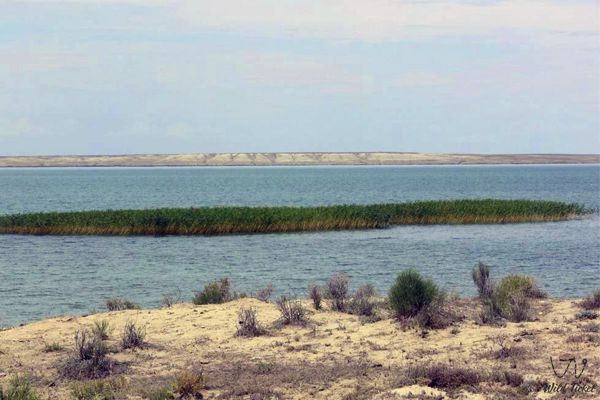
The name of the reservoir comes from two Kazakh words: “kamysty” (a place where reeds grow densely) and “bas” (head, upper reaches), which fully reflects the character of its coastline, covered in places with thick thickets of reeds.
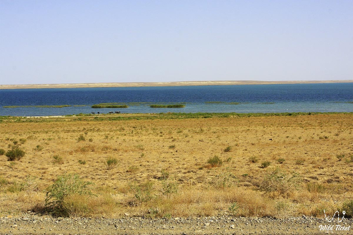
Kamystybas is the largest lake in the Syr Darya River basin and is elongated from the southwest to the northeast. In the southwest, it connects through a narrow channel with the neighboring reservoir Laykol, and it is surrounded by an entire system of lakes, including Sarykkol, Kayadzy, Kuly, and Zhalanashkol.
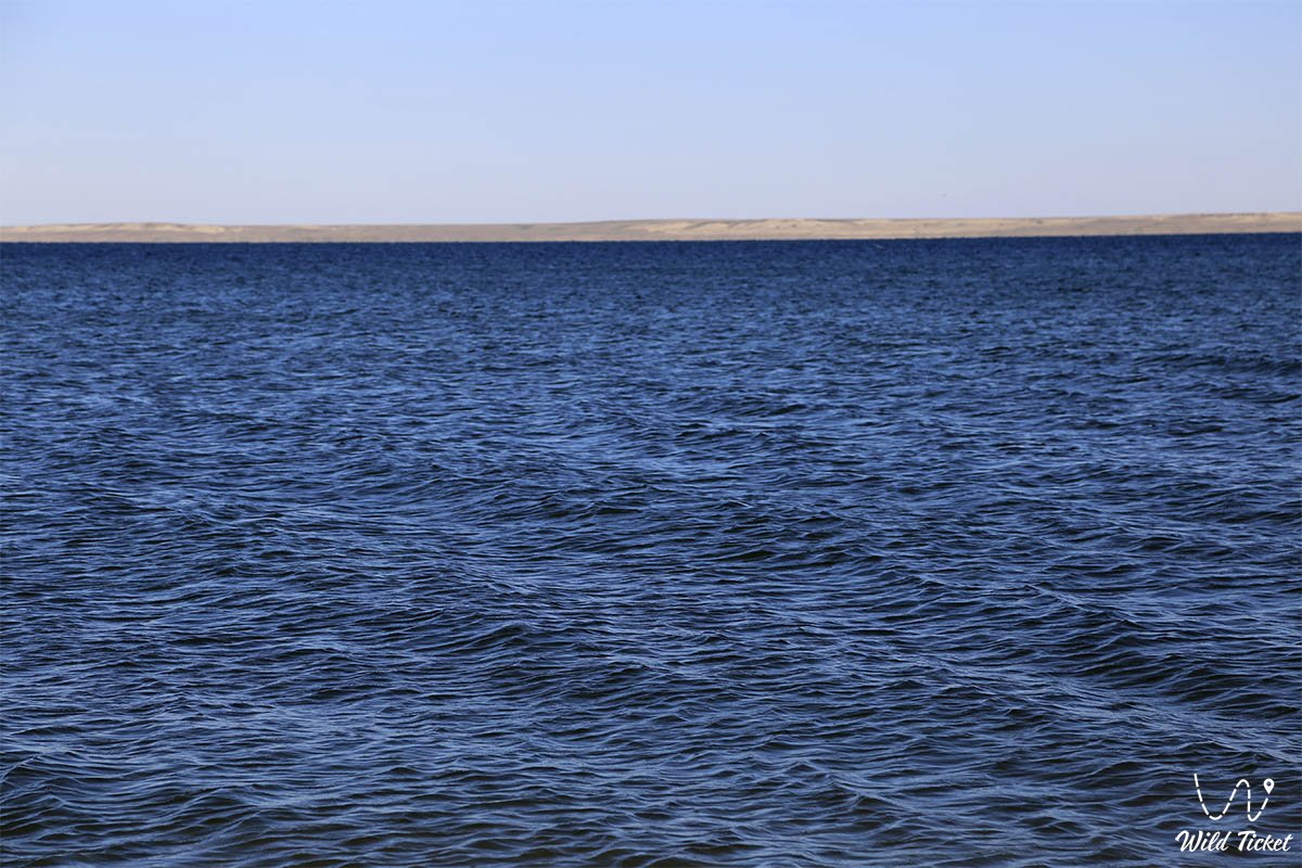
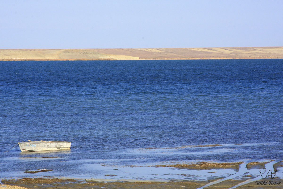
The area of the water mirror is unstable and directly depends on the hydrological regime of the Syr Darya: on average, it is 170 square kilometers, and during the high-water spring period, it increases to 213 square kilometers. The average depth of the reservoir is about 5.5 meters, and the maximum reaches 10 meters. It is best to reach the lake from the city of Aralsk, from the city of Kazalinsk (Kazaly), or the village of Ayteke Bi.
Today, this lake is considered one of the most popular places for beach holidays, family tourism, amateur fishing, and water expeditions. The surrounding water area attracts travelers from all over the world, creating a single landscape axis with the ecosystems of the Aral Sea and the Small Aral Sea (Northern). For many years, the reservoir was considered noteworthy only for local residents, but large-scale studies, which were led by scientist S. D. Muraveisky in the first half of the 1920s, proved the colossal natural and commercial value of this oasis.
---------------------------------------------
How to get there and visit -
Lake Kamystybas (Kambash) is located in the eastern part of the Aral district, 86 kilometers southeast of the city of Aralsk, 65 kilometers from the city of Kazalinsk, Kyzylorda region, Republic of Kazakhstan.
GPS coordinates: 46°11'34"N 61°47'57"E
The transport logistics of this lake region are very convenient for independent travelers. Just 2 kilometers east of the coast are the settlement of the same name and the large Kamystybas railway station, through which direct passenger trains run from Almaty, Astana, Kyzylorda, Shymkent, Turkestan, Karaganda, Pavlodar, Aktobe, and Atyrau.
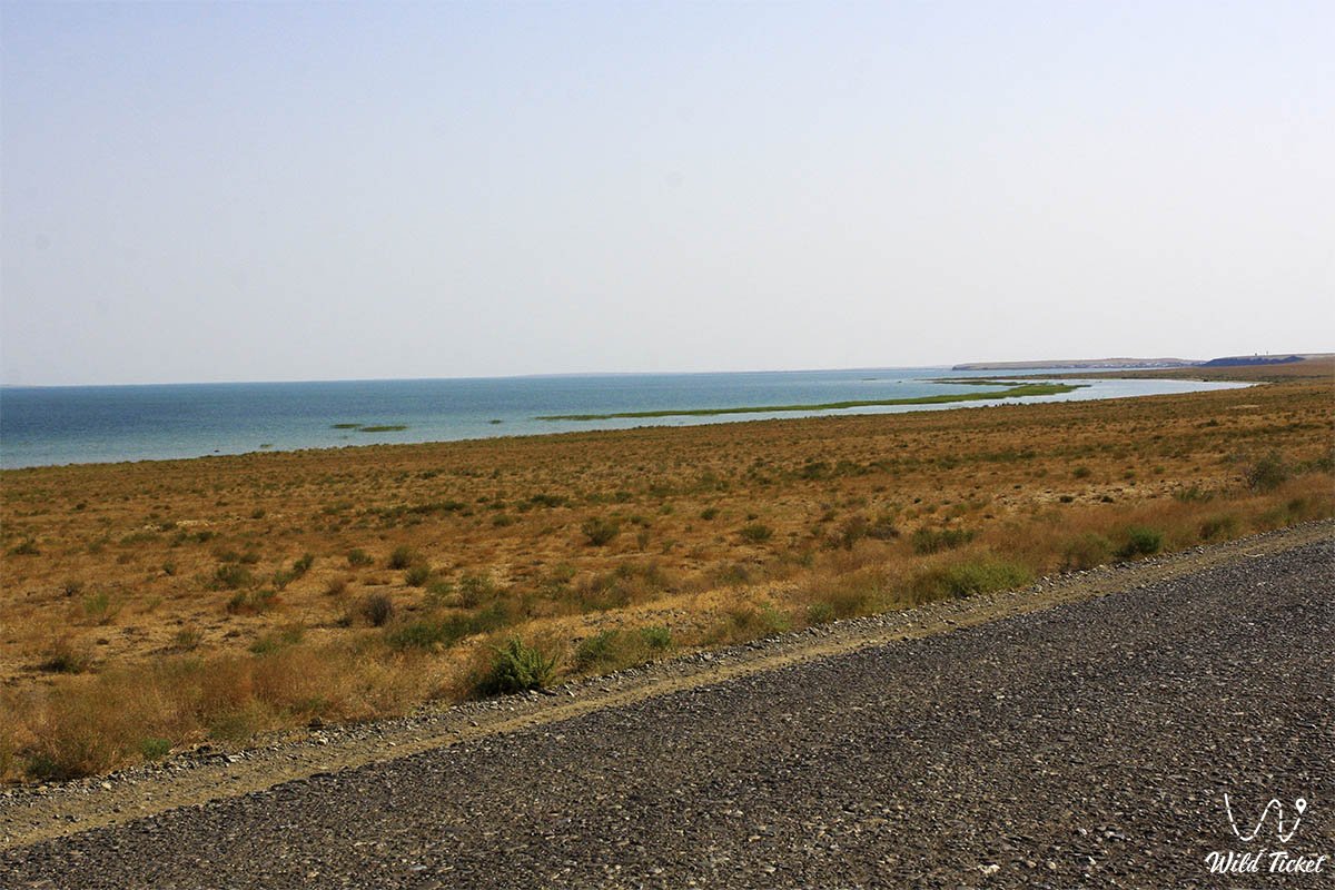
The M-32 international highway (Samara – Shymkent – Almaty, part of the Western Europe – Western China corridor) passes close to the eastern shore. From the main highway, 7 kilometers of a country dirt road lead to the northeastern part of the lake in the area of the Karapasat Bay.
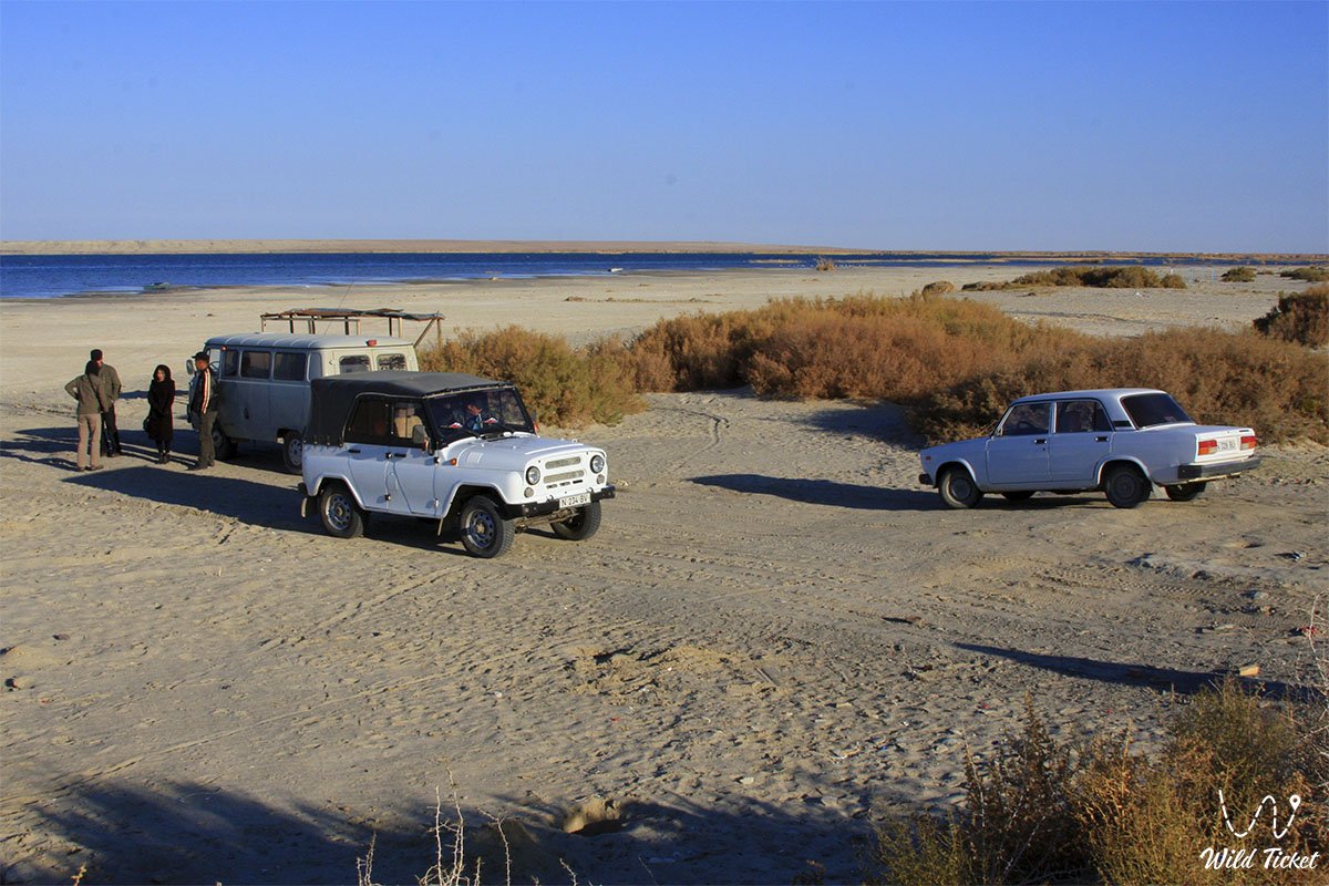
For a trip along sand spits and exits to the water, it is recommended to use a four-wheel-drive SUV so as not to get stuck in the soft, coarse-grained soil. Travelers must carry sunscreen, headwear, and a supply of drinking water.
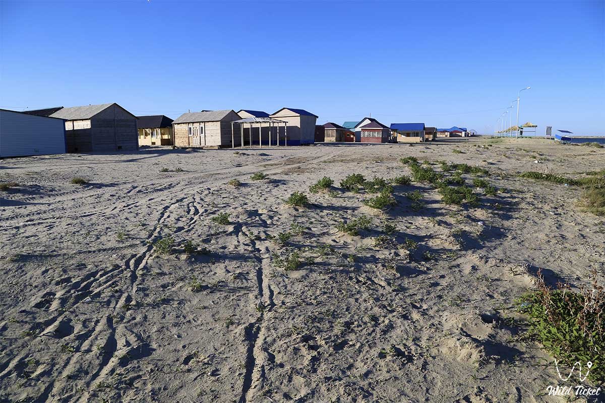
Opening hours: The coastal territory is open for visits around the clock and all year round. Starting from 2013, the official recreation zone “Kamystybas” with a total area of 494 hectares has been actively developed here. Admission to wild beaches is free, but on the territory of recreation centers, a fee is charged for parking, renting panel houses, yurts, tapchans, or sun umbrellas.
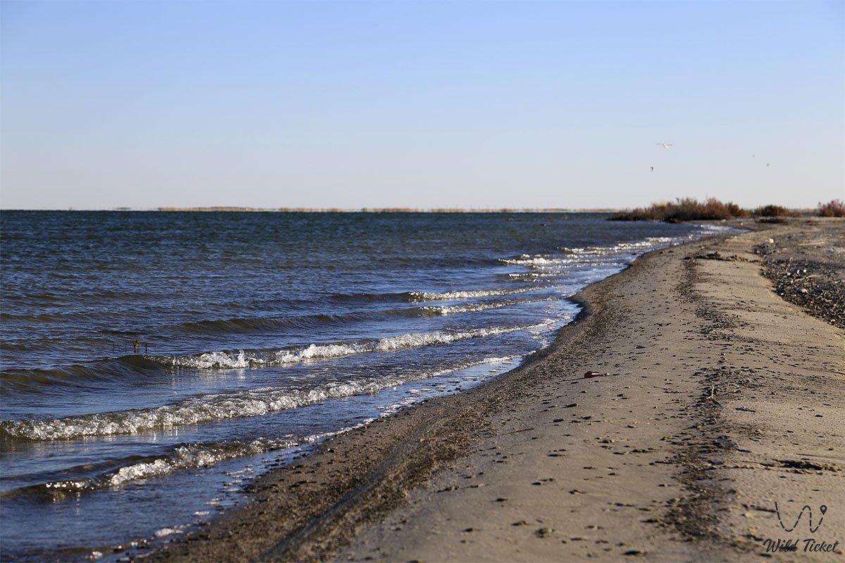
The swimming season here is very long due to the mild climate – the gentle, safe shore and warm water allow for a comfortable holiday up to five months a year (from May to September). All tent camps are organized by tourists independently under expedition conditions, with mandatory garbage removal, as the anthropogenic load on the lake's ecosystem is currently very high.
---------------------------------------------
History
The history of this unique lake is full of dramatic changes in the water level, directly depending on the caprices of the Syr Darya. Since ancient times, the reservoir fed nomadic clans with fish, and in the Soviet years, following Muraveisky's expedition, a powerful fishing industry was born here. However, the environmental problems of the region, water scarcity, and droughts of recent years led to the water receding from the steep 13-meter banks by almost 500 meters, threatening the closure of recreation centers and the Koszhar fish hatchery. Local residents seriously feared that Kambash would repeat the tragic fate of the drying Aral Sea, and dust storms became more frequent in the vicinity.
The situation was reversed thanks to abundant autumn-winter water releases from the Shardara reservoir and the implementation of international environmental projects involving scientists from Germany.
Within the framework of the second phase of the large-scale project “Regional Development and Restoration of the Northern Part of the Aral Sea,” the construction of new water-regulating structures and a dam in Amanotkel is planned on the lake.
This will finally stabilize the water exchange regime, clean the bottom, and save the unique ecosystem. Today, Kamystybas is again filled with water to the very edges, remaining the main recreational center of the region, where the amazing bronze tan obtained on local beaches stays on the skin until the next spring.
Information
Lake Kambash (Kamystybas) is organized as a complex multifunctional natural and recreational space divided into three distinct thematic zones: a developing resort recreation area of 494 hectares, a protected water area of wild steep banks, and a scientific and commercial sector.
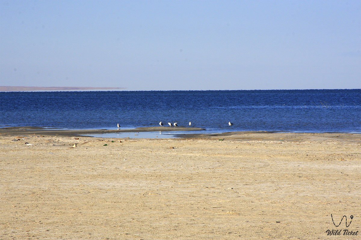
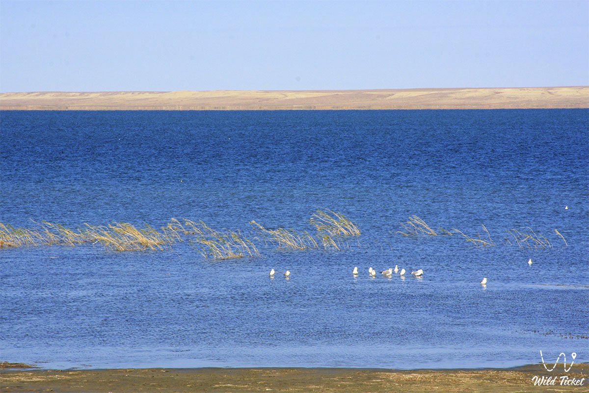
On the southern coast near the village of Koszhar, a specialized fish hatchery operates, whose employees release millions of fingerlings into the lake every autumn to maintain the population of valuable species. About 20 species of fish are found in the lake, including carp, asp, roach, pike, catfish, perch, crucian carp, and bream, making it a true paradise for amateur fishing. A fishing license is not required here.
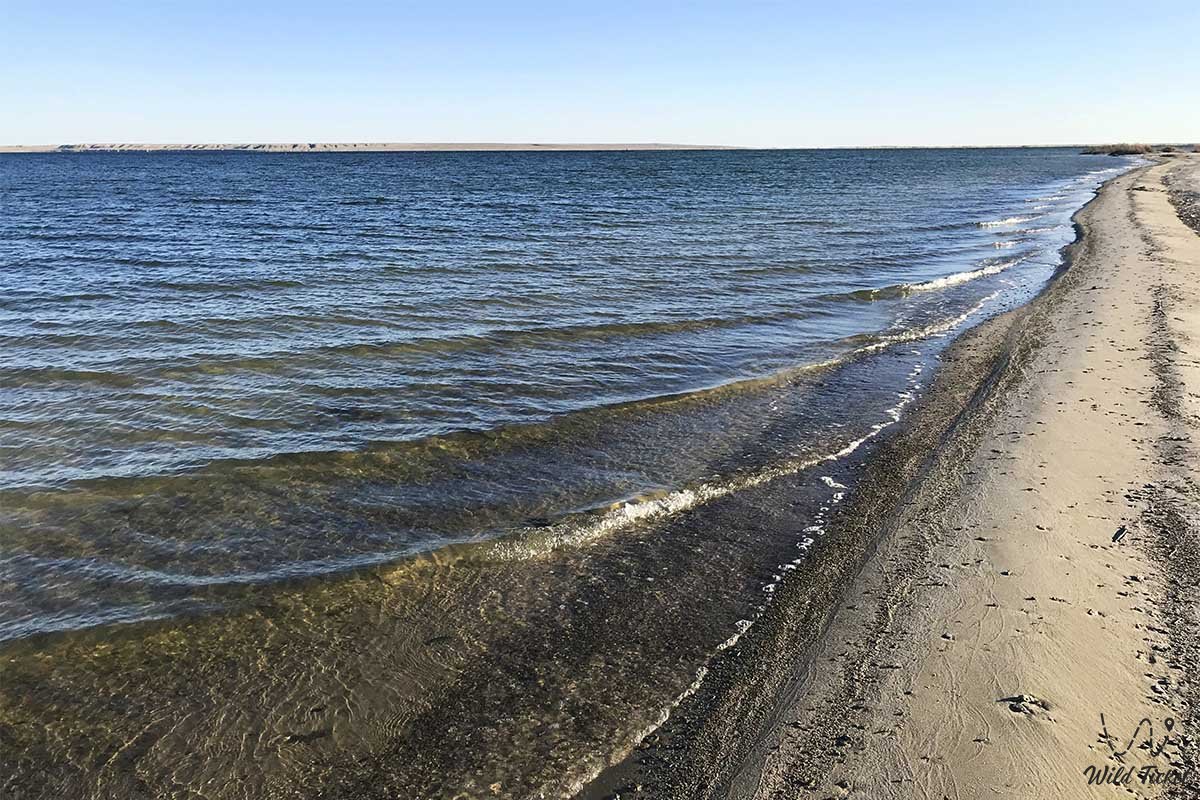
Local residents and ecologists pay special attention to the healing properties of the lake water. It is distinguished by striking transparency, comparable to Lake Issyk-Kul, and the bottom silt does not rise at all during swimming. People firmly believe that the brackish water of Kambash is capable of healing minor wounds, cuts, and scrapes on fishermen right before their eyes.
For the convenience of tourists, rare signs are installed on the embankment, volleyball courts, mini-football fields, and rental of boats and catamarans are available.
Detailed description of the venue
The well-thought-out infrastructure of the tourist complex includes the following original locations and geographical features:
• Beach zone – an extensive sector of the coast with fine clean sand and a gentle bottom, built up with dozens of panel houses and authentic yurts for vacationers.
• Temirshi Hill – a low natural elevation rising 122 meters above sea level near the shore, serving as a natural observation deck with a magnificent panorama of the entire azure water area.
• Karapasat Bay – the northeastern tip of the lake, which is the main geographical landmark for exiting the M-32 international highway.
• Koszhar fish breeding sector – the southern shore of the lake near the village of Koszhar, where the scientific and commercial base for artificial breeding of lake fish is concentrated.
• Steep coastal ledges – wild northwestern sections of the coast up to 13 meters high, popular among lovers of secluded camping and panoramic photography.
• Southwestern channel – a natural hydrological canal connecting Kamystybas with the fresh waters of Lake Laykol and regulating the natural runoff.
Architecture
The architectural solution of the developing tourist zone is based on the principles of seasonal landscape improvement and ethno-design. The basis of the housing stock consists of light wooden panel houses located in straight lines along the coastline, which are complemented by authentic felt Kazakh yurts on sand spits.
The highlight of this resort infrastructure is its integration into the wild natural landscape: shadow mushrooms, tapchans, and summer cafes are erected from simple wooden structures. Construction and land reclamation works on the coast are carried out taking into account constant fluctuations in the water level, which requires the creation of a flexible, easily dismantled beach architecture that does not disturb the fragile balance of the Syr Darya delta.
Legend
An amazing legend about the healing power of Kambash lives among local fishermen and old-timers of the Koszhar village. It is said that in ancient times, a steppe warrior wounded in a fierce battle fell behind his detachment and, in search of a watering hole, crawled to the thick reed beds of an unknown lake. Having washed his deep wounds with clear brackish water, he was instantly healed, feeling a surge of unprecedented strength, and his skin became covered with a durable bronze tan protecting against arrows.
Since then, people believe that for more than 300 days a year, cloudless weather stands over Lake Kambash precisely because the sky protects this sacred place, granting healing, clarity of mind, and longevity to everyone who treats its protected waters and golden sandy shores with respect.
Conclusion
Lake Kambash (Kamystybas) is a magnificent natural bridge connecting the severe environmental challenges of past years with the bright, reviving tourist life of the modern Aral region. A visit to this landscape oasis allows guests of the Kyzylorda region to feel the amazing power of nature's restoration and enjoy the azure waters in the middle of the desert.
The lake remains the main reference point for beach, family, and fishing tourism in the Aral district. Expedition and resort routes definitely include this point in their programs, granting every traveler unforgettable days of rest on the golden sands of Southern Kazakhstan.
Interesting sights nearby:
• Beketay Mausoleum;
• Basibek Mausoleum;
• Fort Raim;
• Bogen village;
• Karateren village;
• Kokaral Dam;
• Barsakelmes Nature Reserve;
• Amanotkel village.
Photogallery: