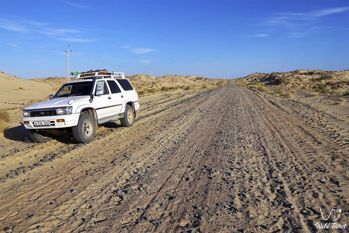
穿越哈萨克斯坦荒漠之旅 -
哈萨克斯坦的荒漠 -
克孜勒库姆(沙漠)是位于阿姆河与锡尔河之间的沙质洼地。其总面积达30万平方公里,其中超过三分之一位于哈萨克斯坦境内(克孜勒奥尔达州和南哈萨克斯坦州)。
地理位置
克孜勒库姆沙漠横跨乌兹别克斯坦、哈萨克斯坦(北部)以及土库曼斯坦共和国西南部的一小部分。沙漠西北以咸海为界,东南至乌兹别克斯坦的泽拉夫尚山谷和努拉陶山脉。平均海拔高度从53米(克孜勒奥尔达州的咸海沿岸)到300米不等(南哈萨克斯坦州的凯拉克陶山脉,最高达388米)。
地质结构与地形
在克孜勒库姆沙漠的中部,分布着形成于古生代的残丘山脉(如乌兹别克斯坦境内的布坎陶山、塔姆德陶山、库尔茹克陶山等)。其最高点为海拔992米的塔姆德陶山。整体地形平坦,地质上由三个构造层组成,包含了被多次喷发切割的古生代火成岩。
地壳中分布着厚达500-2000米的侏罗纪和白垩纪系统,以及新生代的砂质粘土和泥灰岩沉积物。该地区也存在荒芜地带,所有的油气田(克孜勒奥尔达州)均发现于侏罗纪和白垩纪沉积层中。
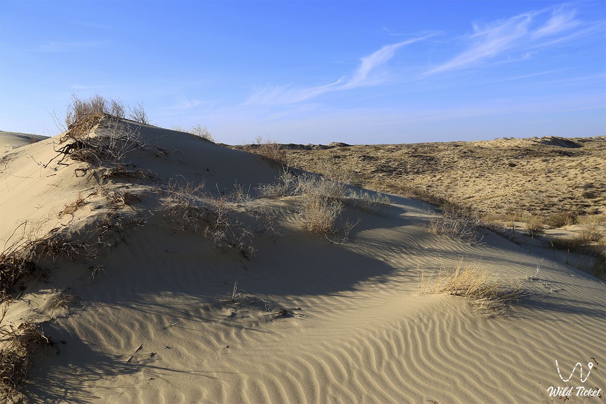
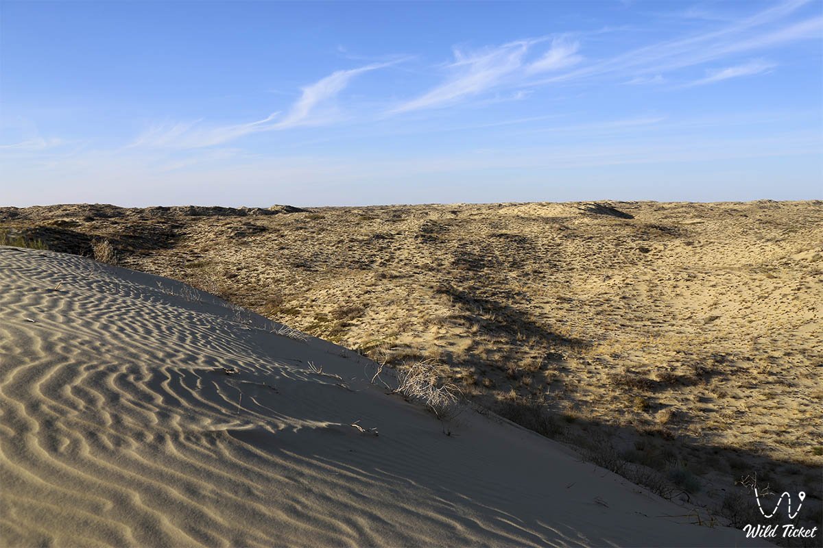
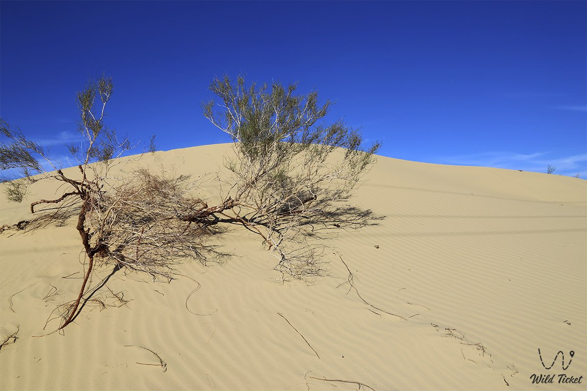
白垩纪和古生代地层含有承压水。克孜勒库姆沙漠的大部分区域被沙脊和沙垅覆盖,偶尔可见10-15米高的砾石沙地。
气候特征
属大陆性气候。1月平均气温为-7至-9°C,极寒年份可降至-40°C。7月平均气温为26-29°C,户外极端高温可达46°C,沙面温度可达70-72°C。年降水量仅100-175毫米,其中60-65%集中在冬春季节。沙漠积雪不稳定,初雪通常在11月下旬。夏季月份相对湿度降至16-25%(南部为11-15%)。平均风速3-5米/秒,夏季常有沙尘暴。
水文系统
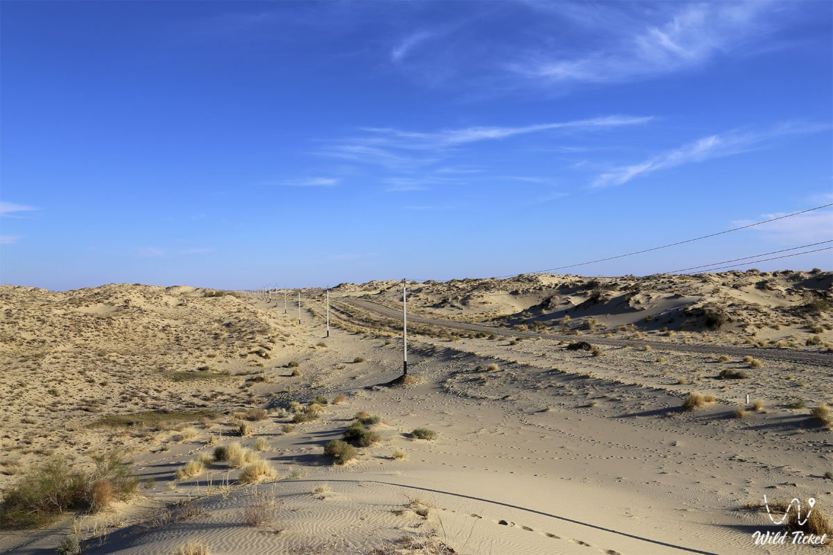
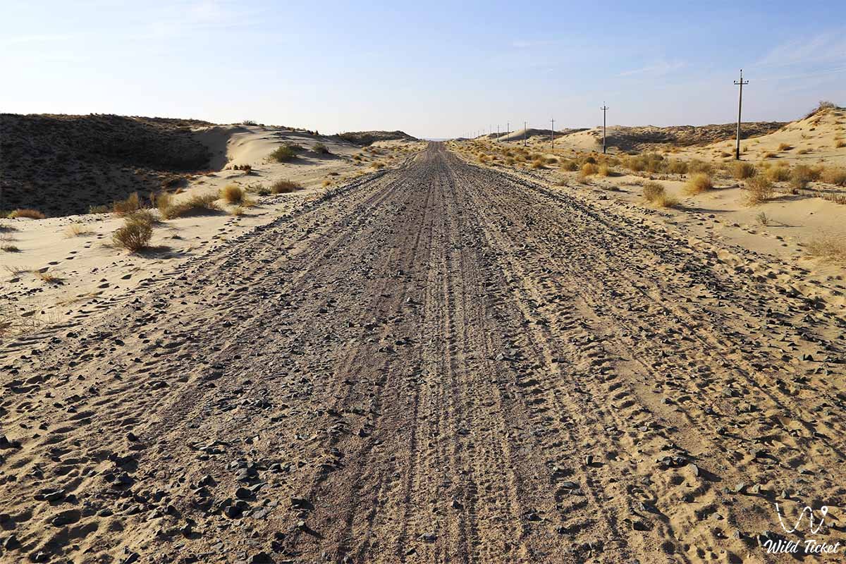
克孜勒库姆沙漠内部没有常流河。仅有向北流动的锡尔河干渠灌溉河谷地带。在克孜勒奥尔达州南部,分布着克孜勒奥尔达渠、库安达里亚河、贾纳达里亚河和因卡尔达里亚河等大型水系。春季时,沙丘间会出现小湖泊和季节性河流。该地区被用作全年牧场。克孜勒库姆沙漠的哈萨克部分由克孜勒奥尔达州的行政区管辖。
土壤与动植物群
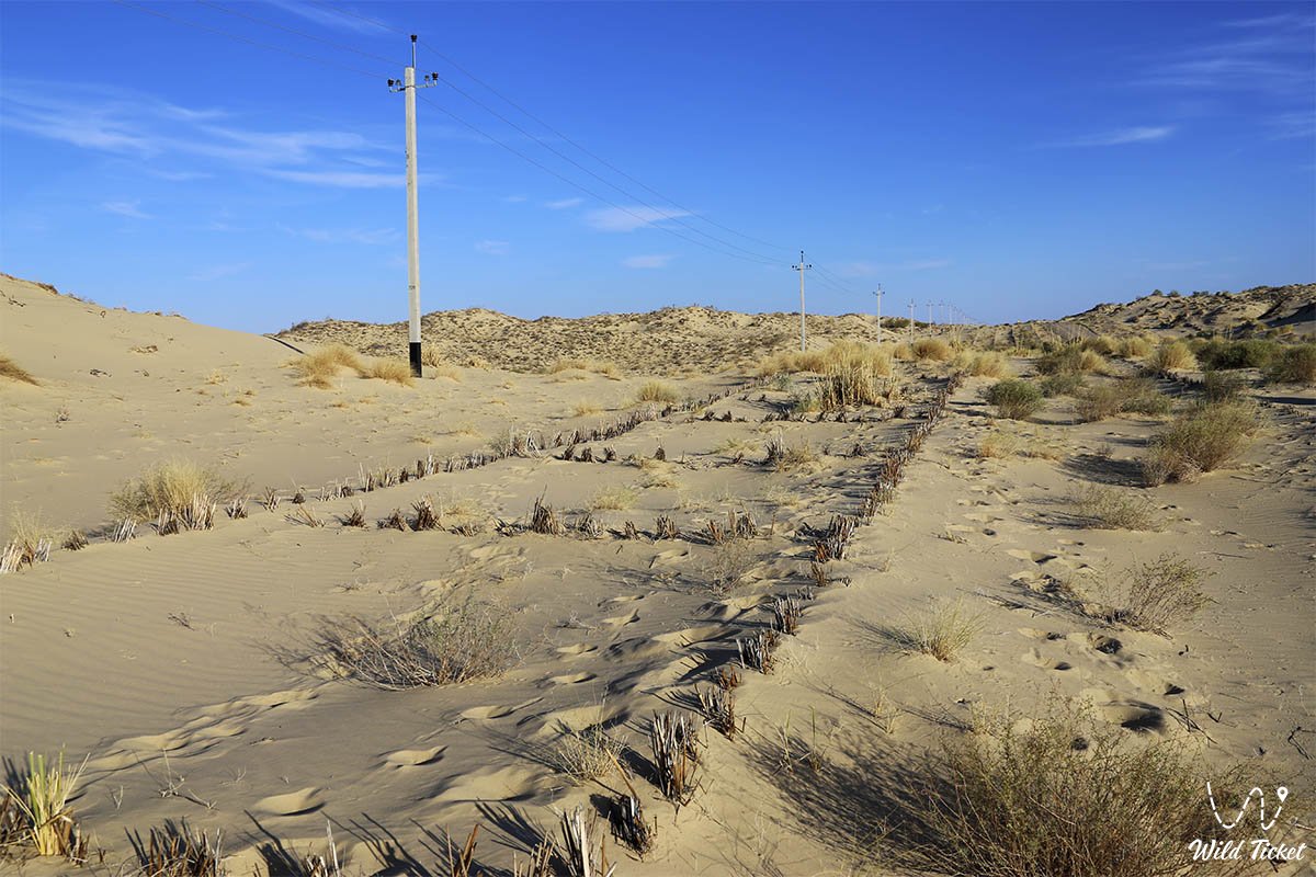
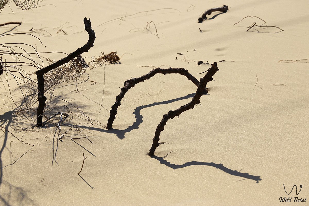
沙漠的大部分区域(92%)被沙子覆盖,因此各类土壤均含沙。土壤多为淡褐色、砂粉色、灰色及盐渍土。西南部蕴藏着丰富的大理石、石墨、煤炭和黄金。植被包括短生植物、苦艾、梭梭、艾草、檀香、鼠尾草、杨树等。锡尔河三角洲周围生长着丛林。克孜勒库姆地区适合饲养卡拉库尔羊、肉牛和奶牛。沙漠沙地中栖息着瞪羚、白喉羚以及各种鼠类、松鼠、陆龟等。
照片库: