Trip to the sights of Aktobe region -
Transfers from Aktobe to Atyrau -
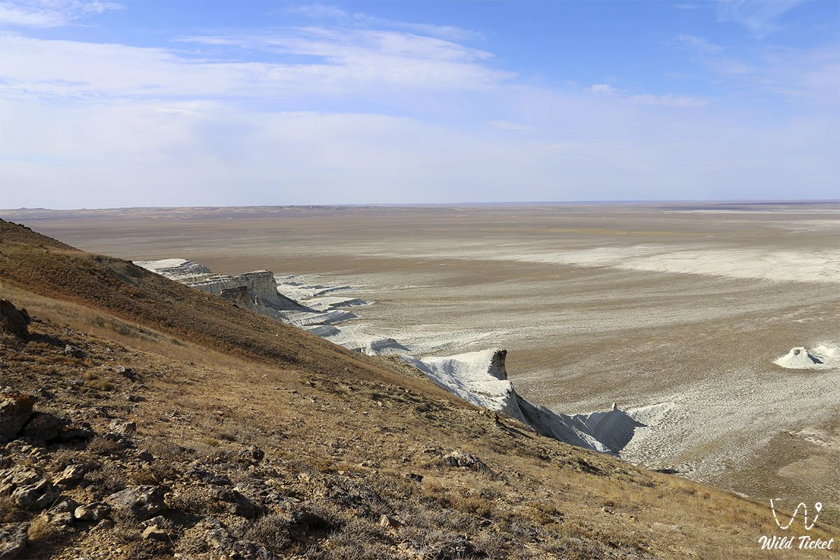
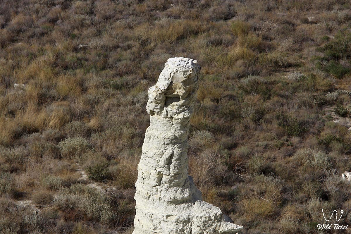
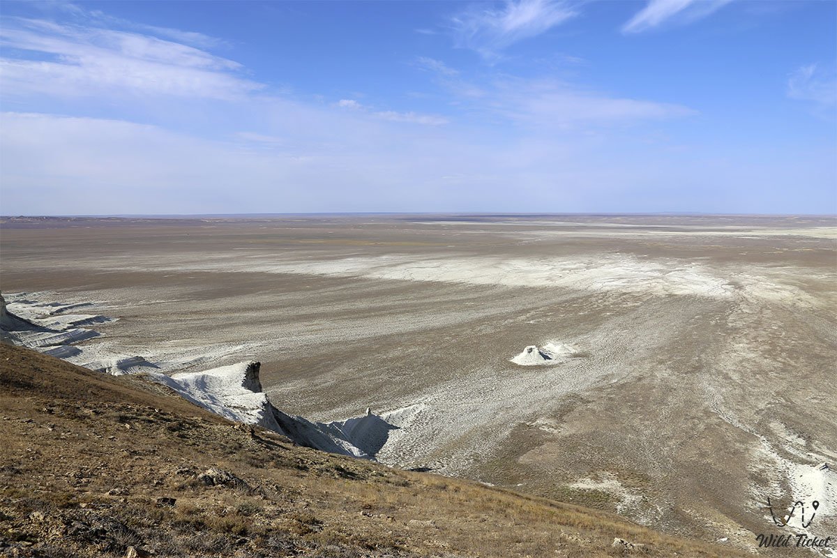
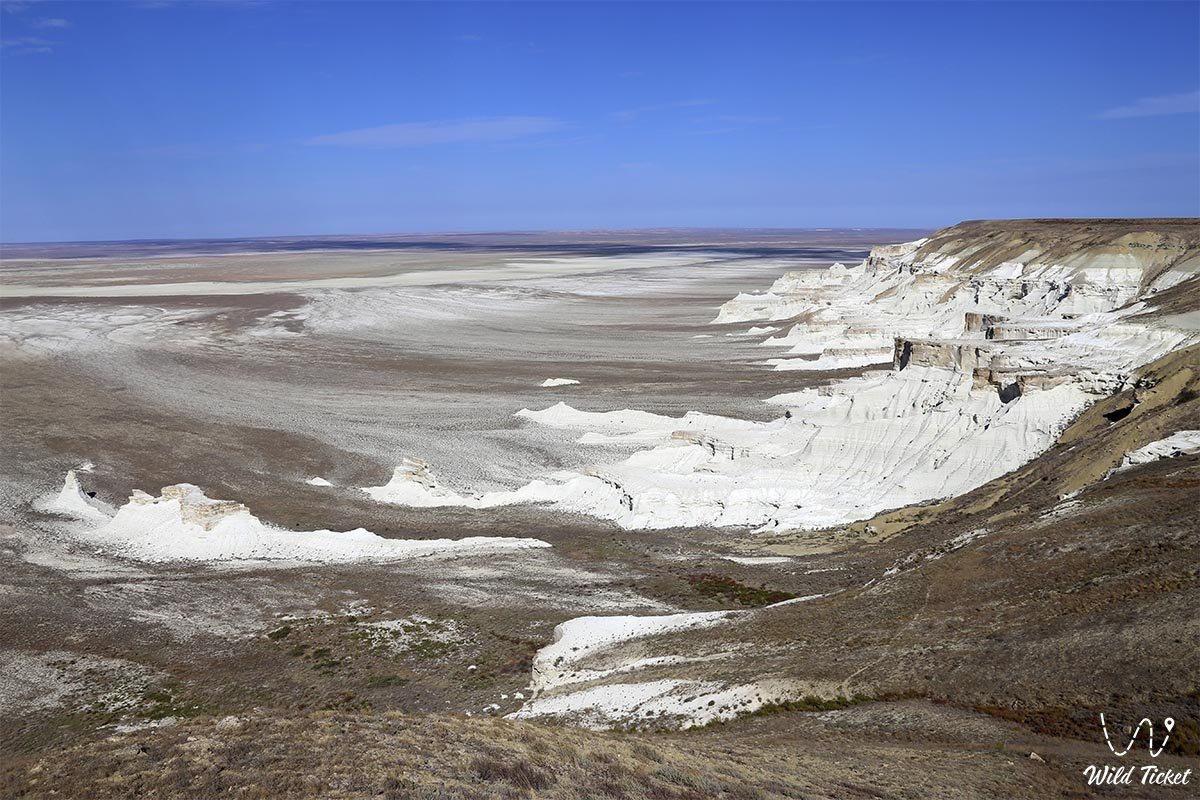
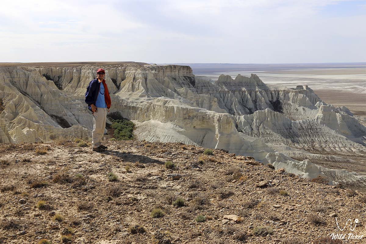
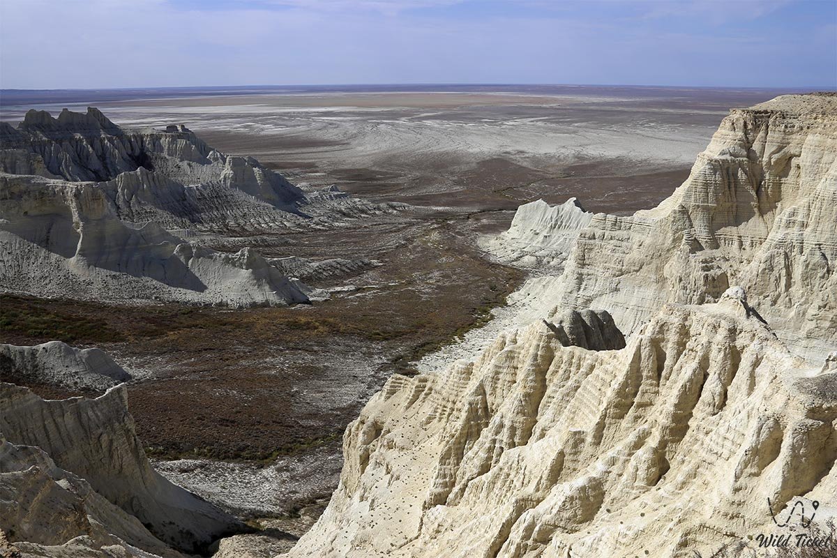
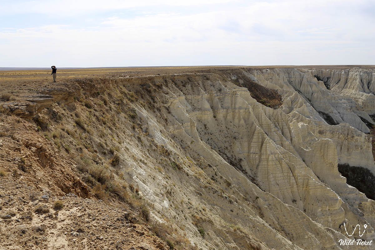
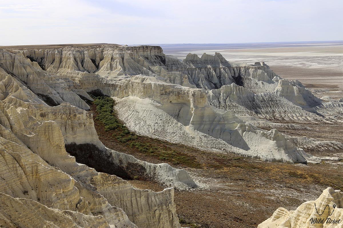
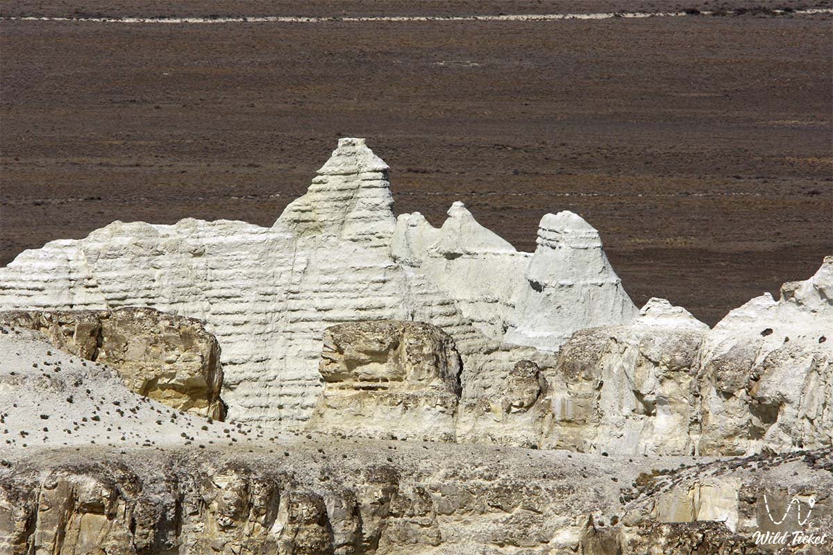
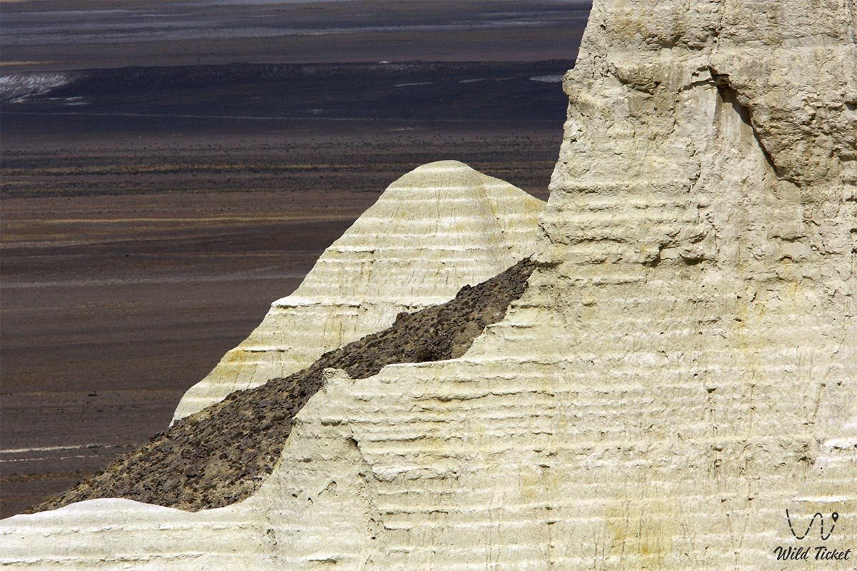
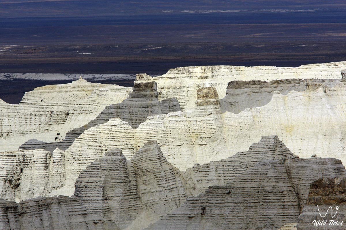
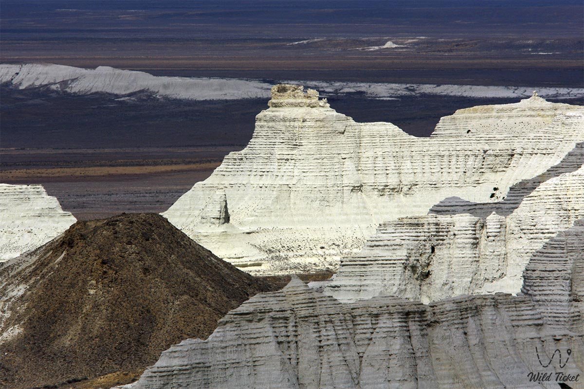
Aktolagai is a Cretaceous plateau, a natural landmark, an object of geo-tourism and paleontological tourism, an interesting object, a place of exotic nature. Aktolagai is a giant natural museum of chalk figures, there are such figures as the Phoenix, Colossus, White Rook, Sphinx, Titanic.
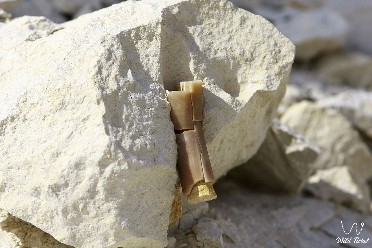
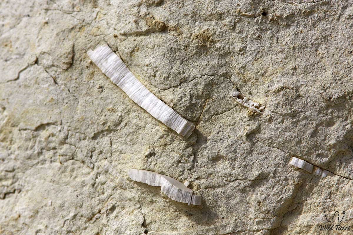
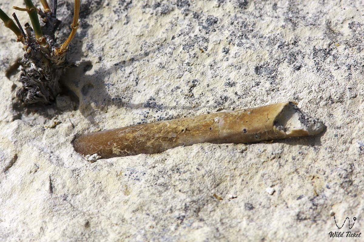
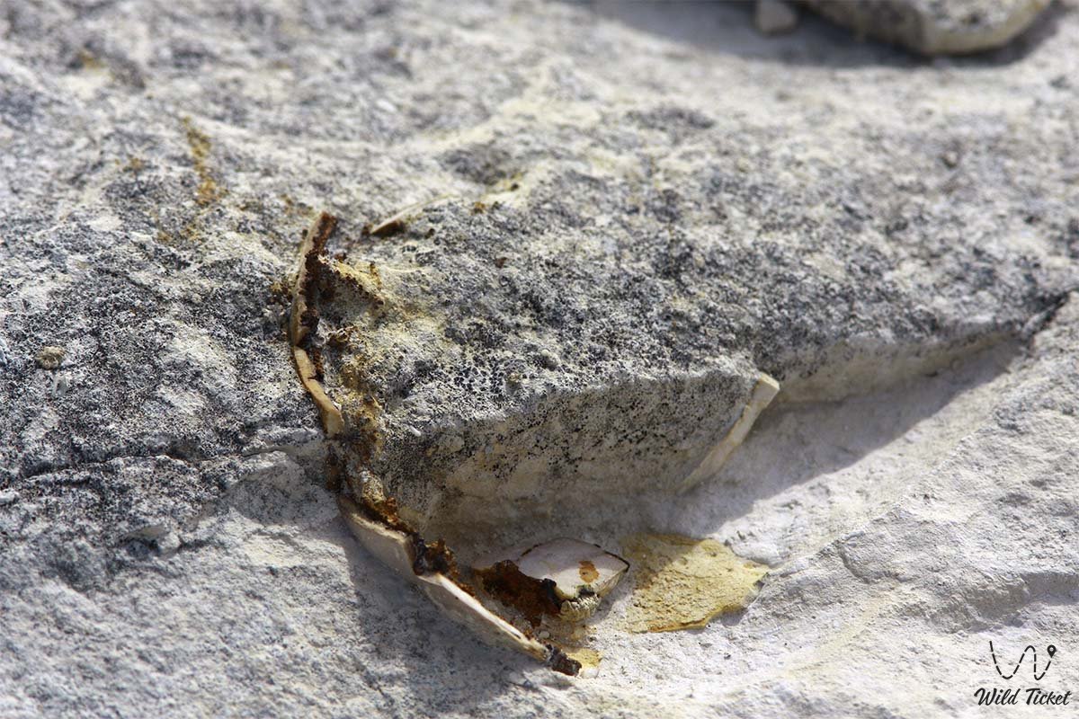
The rock from which the earth is composed on the plateau is white chalk deposits, snow-white layers of chalk and chalk-like marl are composed of billions of tiny remnants of ancient organisms that were formed here for a very long time, ancient fossils can be found here, teeth of ancient sharks of different sizes, from the smallest to teeth the size of a palm, you can also find here find fossilized belemnites, ammonites, mollusks, corals, sea lilies, hedgehogs, etc.
---------------------------------------------
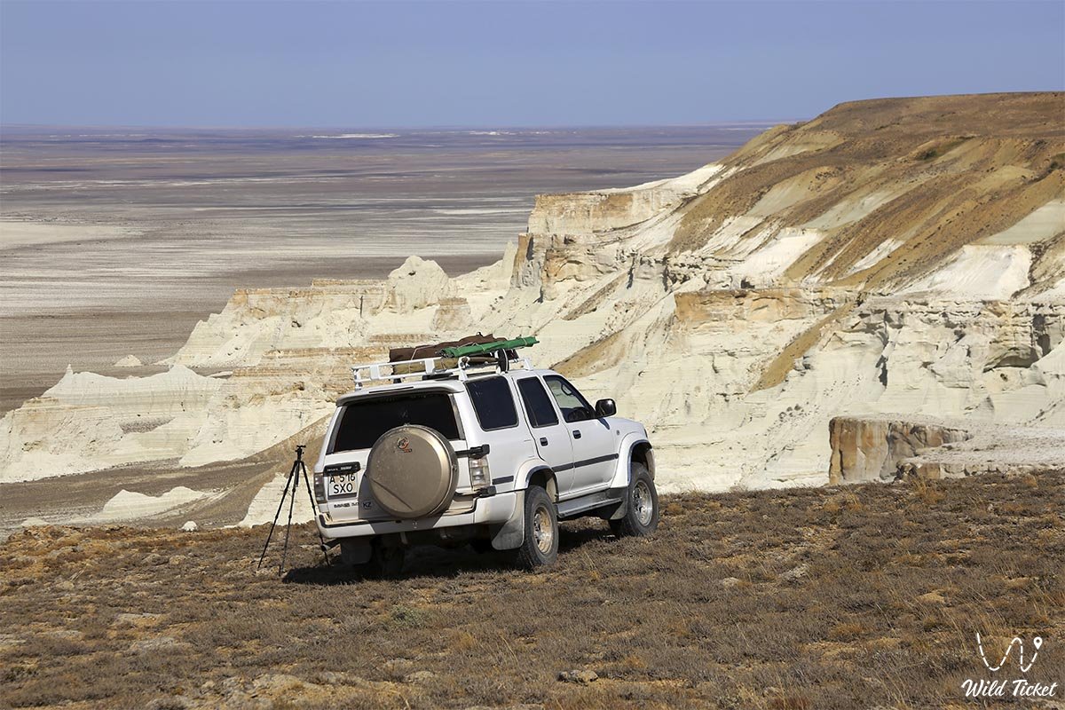
How to get there, visit -
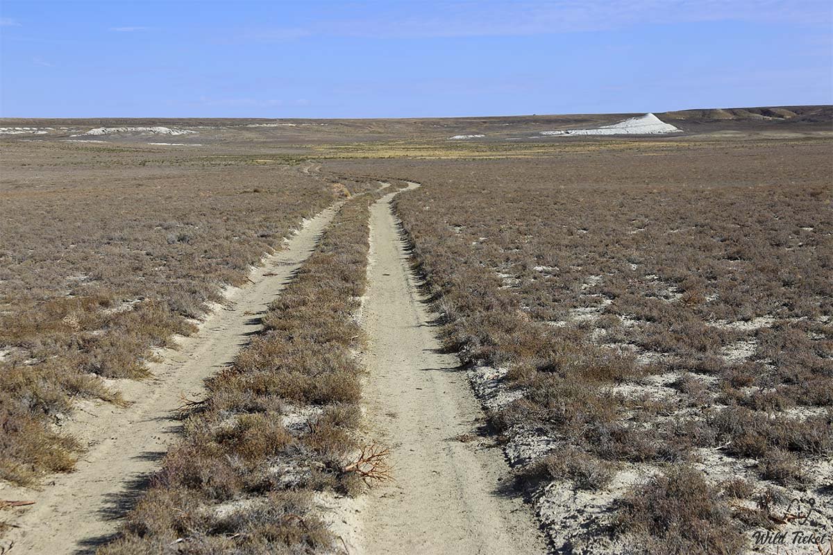
The Aktolagai plateau is located 40 kilometers from the village of Miyaly, Bayganinsky district, Aktobe region, Republic of Kazakhstan.
GPS coordinates 47°27'33”N 55°05'55"E
---------------------------------------------
Information
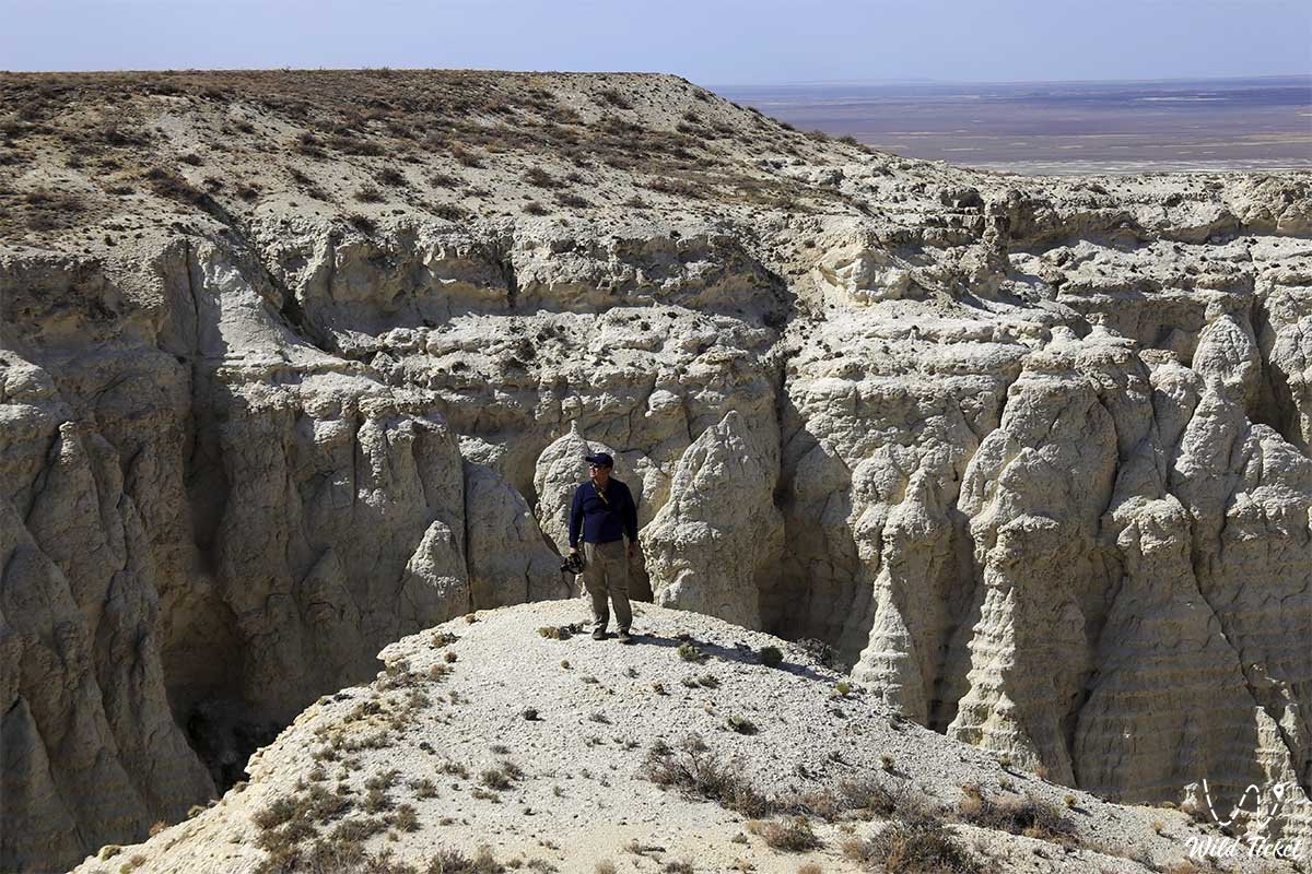
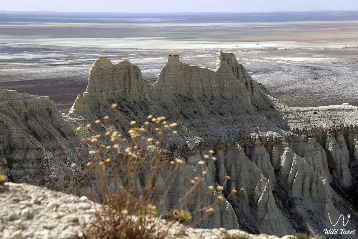
The Aktolagai plateau is surrounded by hills composed of gypsum clays, also contain paleontological remains and are also quite picturesque, as they are covered with a scattering of gypsum crystals sparkling in the sun. The relief surrounding the plateau is an alternation of salt domes, expressed on the surface by picturesque groups of hills and ridges 60-80 meters high, with salt marshes and takyrs located in inter-domed spaces.
Four salt domes adjoin the plateau: Kuldy-Kuduk, Tolagai, Chili-Sai and Alasha-Kazgan. Salt domes are elevations of various shapes, often limited by faults. The layers of rock salt located at depth under the pressure of the overlying strata acquire plasticity and are squeezed upward into inhomogeneities and cracks, resulting in a fold with a salt core, expressed on the surface by uplift. This process is called salt tectonics. Many salt domes of the Caspian Basin include oil and gas deposits.
Unforgettable landscapes, diverse paleontological remains and the visibility of the geological processes presented here that took place millions of years ago make the Aktolagai plateau very attractive not only for specialists, but also for a wide range of tourists. Currently, the Aktolagai plateau is not included in any tourist avenue. It is easy to foresee that the popularity of the plateau as an object of mass tourism will increase in proportion to the dissemination of information. Over time, this will allow for the creation of infrastructure and the necessary modern services.
Photogallery: