Tours to the Ustyurt Plateau -
Travel to the Ustyurt Plateau in Kazakhstan -
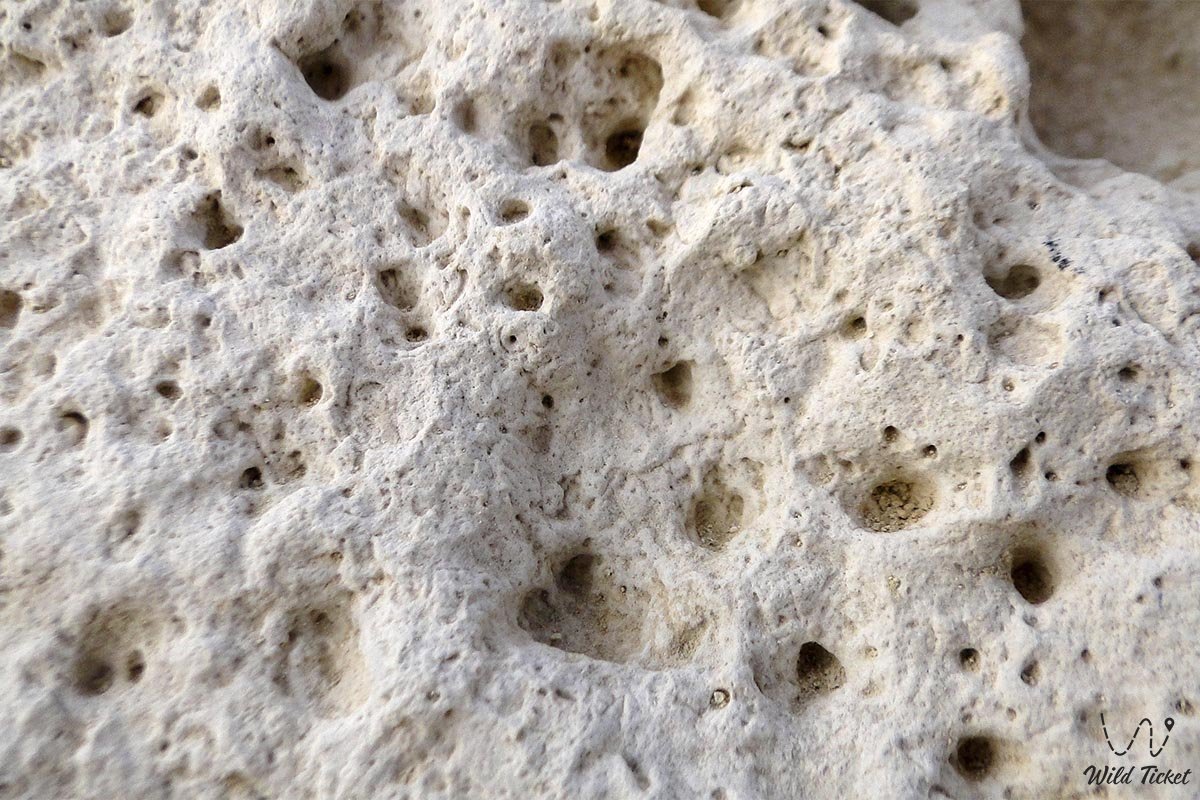
The Ustyurt Plateau and the Ustyurt Nature Reserve located here are a desert plain or steppe. The Ustyurt Plateau is a famous geological park, home to the bed of the ancient Tethys Ocean, making this area of interest to geological tourism.
The Ustyurt Plateau Nature Reserve was established in 1984 to preserve and protect the flora and fauna of the region.
---------------------------------------------
How to get there and visit -
The Ustyurt Plateau is located in the Mangystau Region of Kazakhstan. The region between the Mangystau Peninsula and Karabugazkol Bay to the west and the Aral Sea and the Amu Darya Delta to the east. The plateau is located in the Turan Depression.
GPS coordinates: 44°10'50"N 55°45'55"E
--------------------------------------------
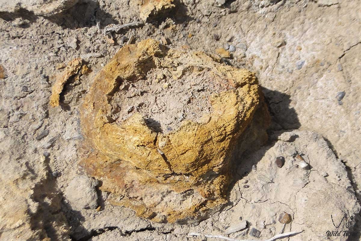
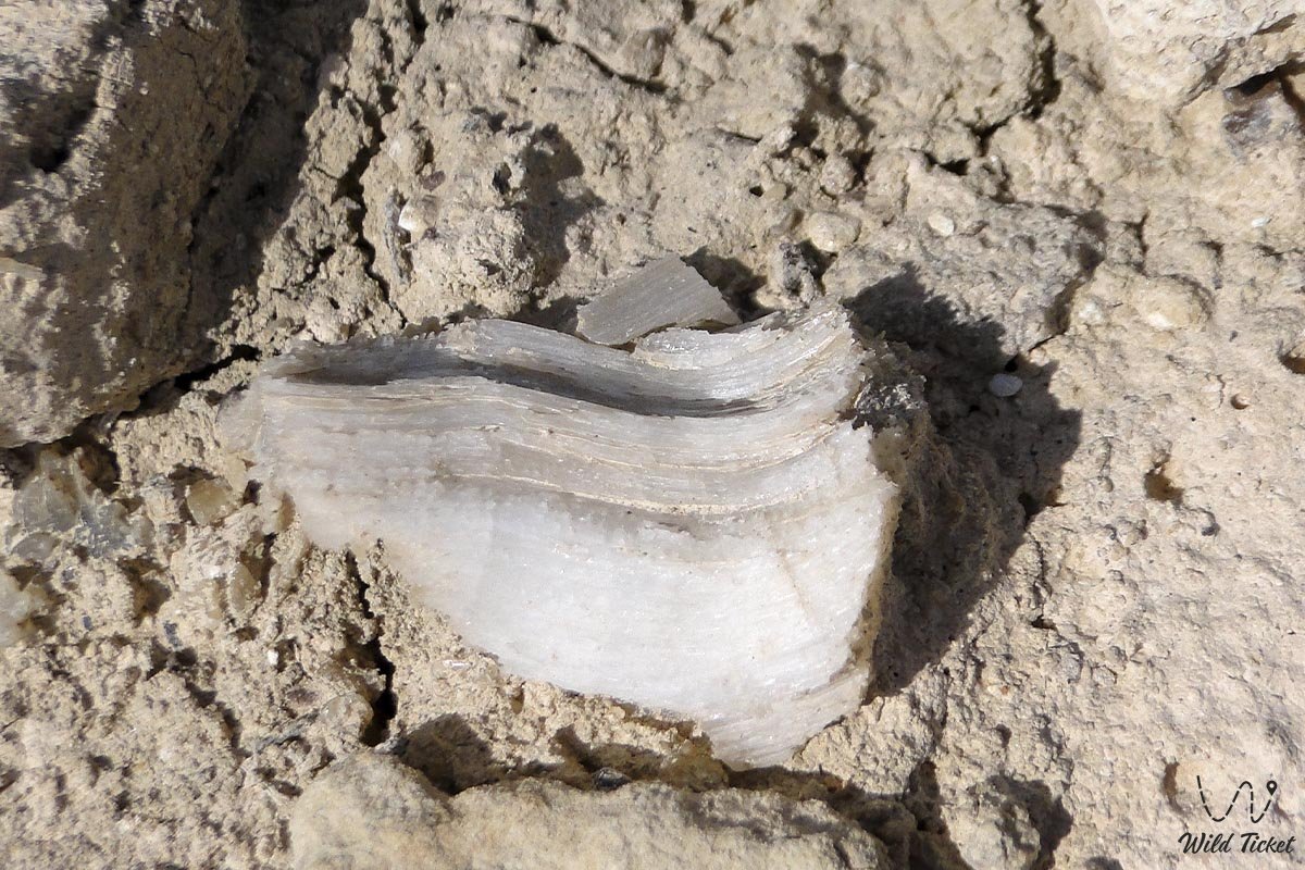
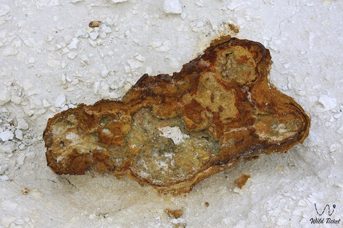
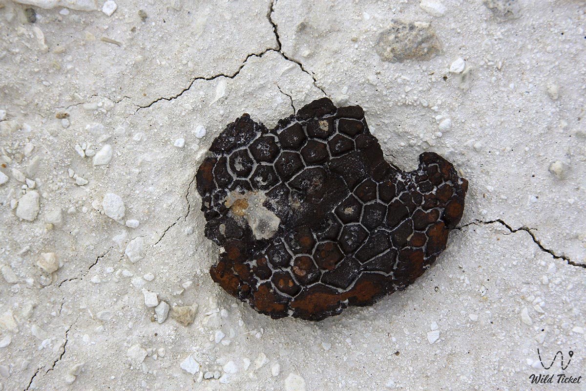
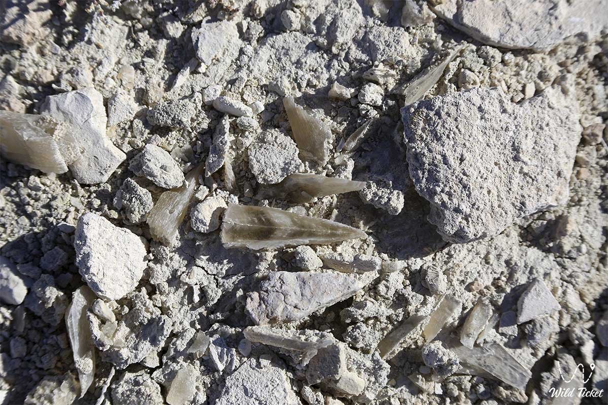
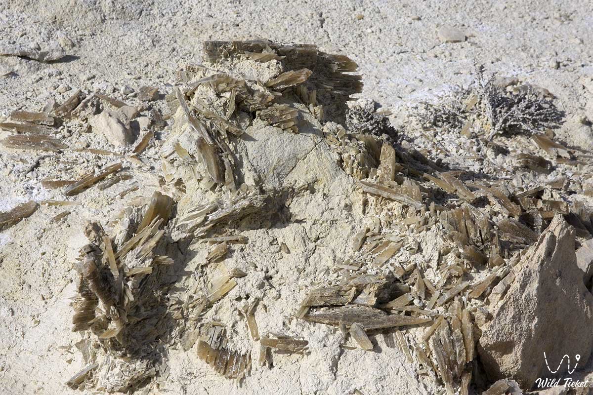
Geological tourism
During the Permian period (250-300 million years ago), within the boundaries of modern-day Mangystau and Ustyurt, there were areas of shelf seas, lagoons, and coastal zones extending north to the Paleotethys Ocean, which then separated the Arabian-African and Eurasian continents (or rather, their predecessors, Gondwana and Laurasia).
These conditions persisted into the Triassic (200-250 million years ago). At the end of the Triassic, major tectonic movements occurred, leading to the closure of the Paleotethys Ocean, and the entire area in question experienced drainage.
General Information
The Ustyurt Plateau extends 550-600 km from southwest to northeast, and is 300-400 km wide. It covers an area of 200,000 km2. The plateau's average elevation is 150-200 m, with the highest point in the southwest at 341 m (the Muzbel Range). Situated in the Turan Depression, the geological structure is similar. The northern part of the plateau and the western part, extending up to 56°C east, are part of Kazakhstan.
The formation of the modern relief of Mangystau began in the late Pliocene.
As a result of the uplift of the Turan Plate under the influence of neotectonic movements, Mangystau became a flat plain. The formation of the modern mountainous topography was influenced by individual denudation processes in the late Pliocene, before which the Mangystau plateaus formed.
In the Early Quaternary, large closed streams formed in southern Mangystau, and the lake's regime remained on the right. Over time, the sedimentary rocks on the lake bed were shaped by wind. The plateau is washed by the Aral Sea through the Caspian Sea basin.
Fauna
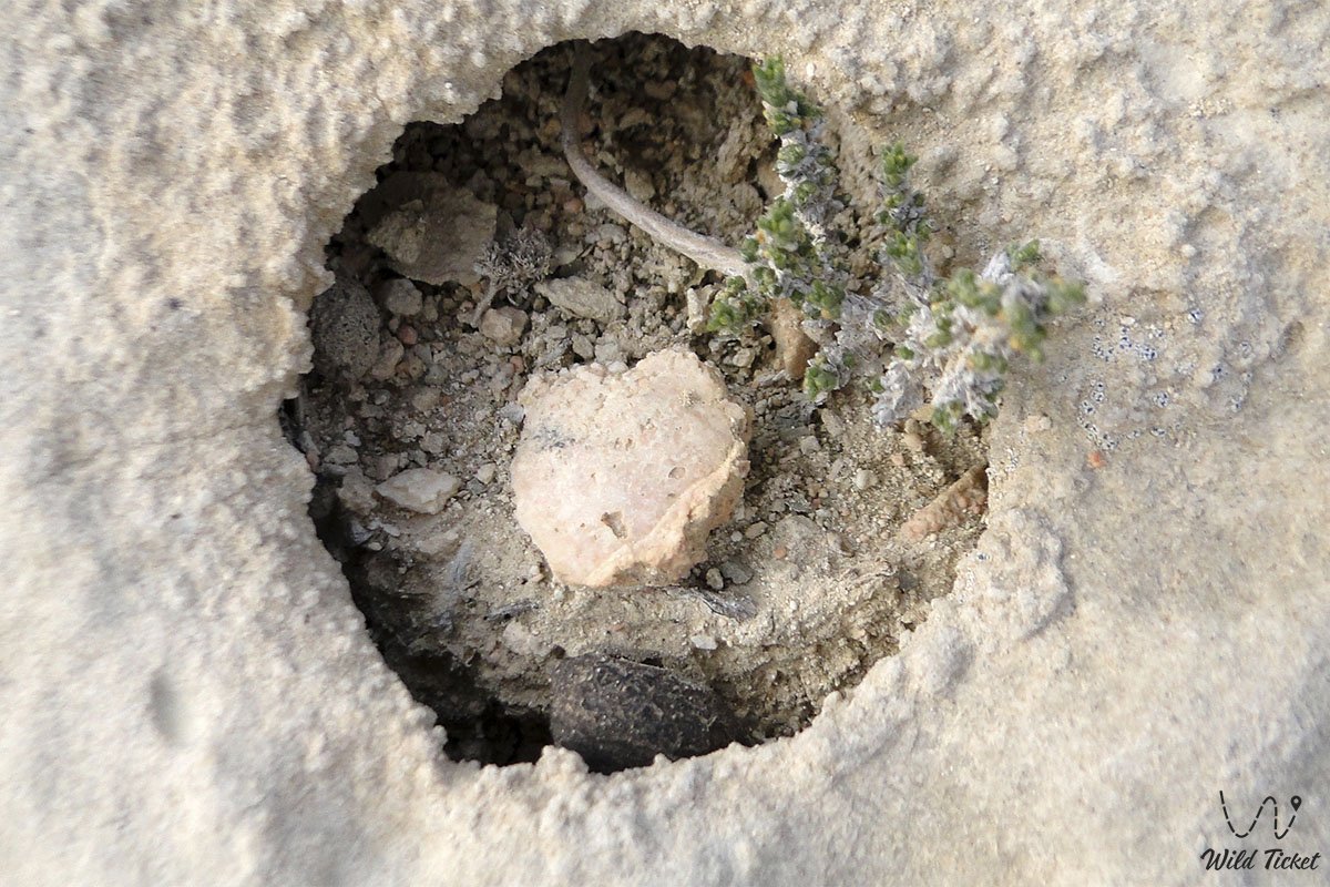
The flora of Ustyurt includes approximately 600 species of higher vascular plants. It is home to a large number of invertebrates, reptiles, birds, and 44 species of mammals: rodents, lagomorphs, carnivores, artiodactyls, insectivores, and bats. Some of them are listed in the Red Book: the four-striped racer, the houbara bustard, the short-toed eagle, the long-legged buzzard, the saker falcon, the cheetah, the caracal, the sand cat, the Pallas's cat, the Ustyurt mouflon, the saiga, the goitered gazelle, etc.
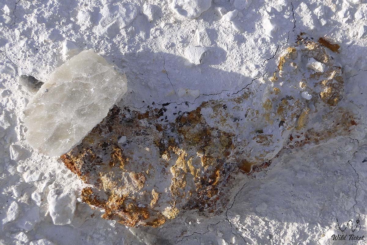
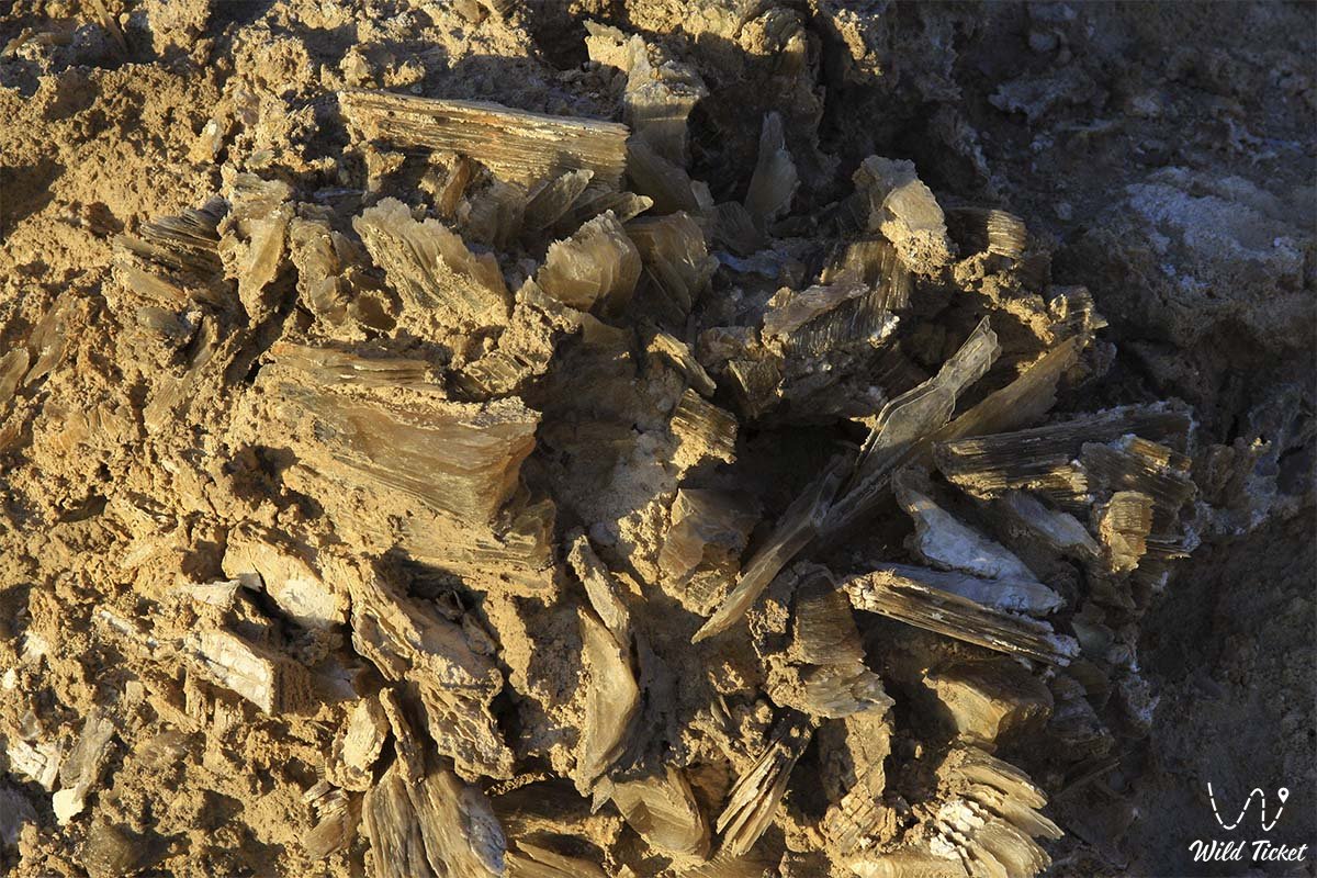
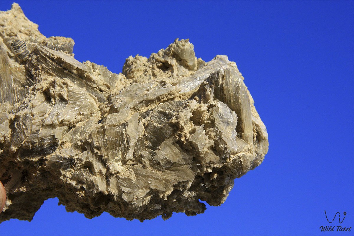
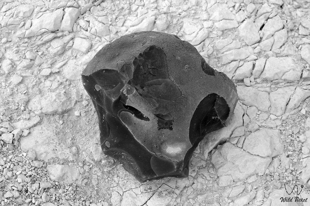
Photogallery: