Journeys through the deserts of Kazakhstan -
Tour to the Ryn Desert from Atyrau -
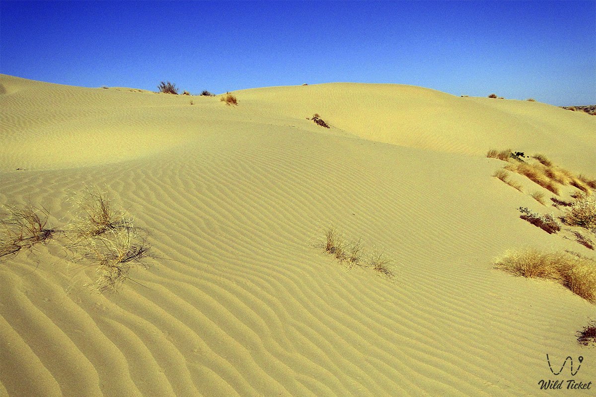
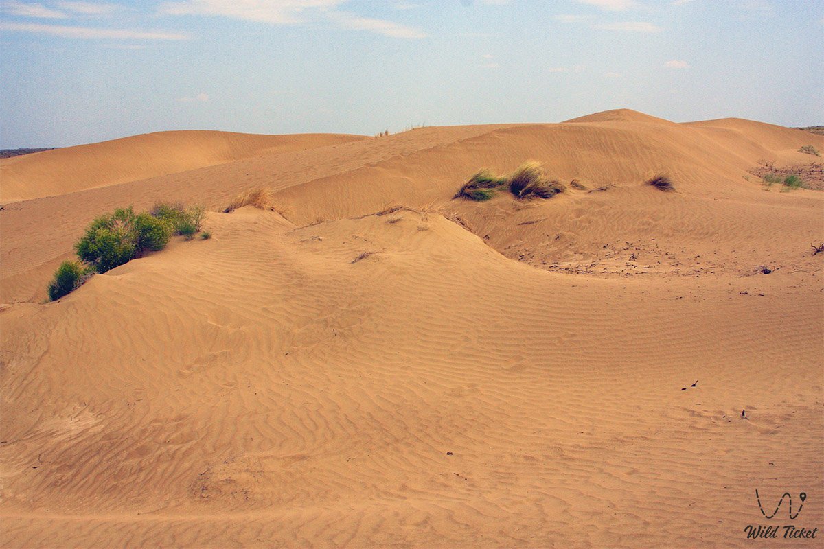
Area: 40,000 square kilometers. The sandy region lies on average 21 meters below sea level. The region is composed of sediments from the Khvalynian and Khazar periods of the Caspian Sea. Neogene and Permian-Triassic rocks are also found. It consists of the Batpaisagyr, Terektikum, Zhamankum, Orda, Bozanai, Kosdaulet, and Menteke massifs. The northeast is occupied by the Kamys-Samara floodplain.
---------------------------------------------
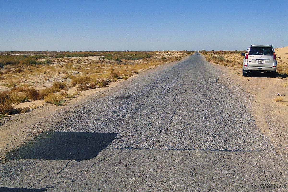
How to get there and visit -
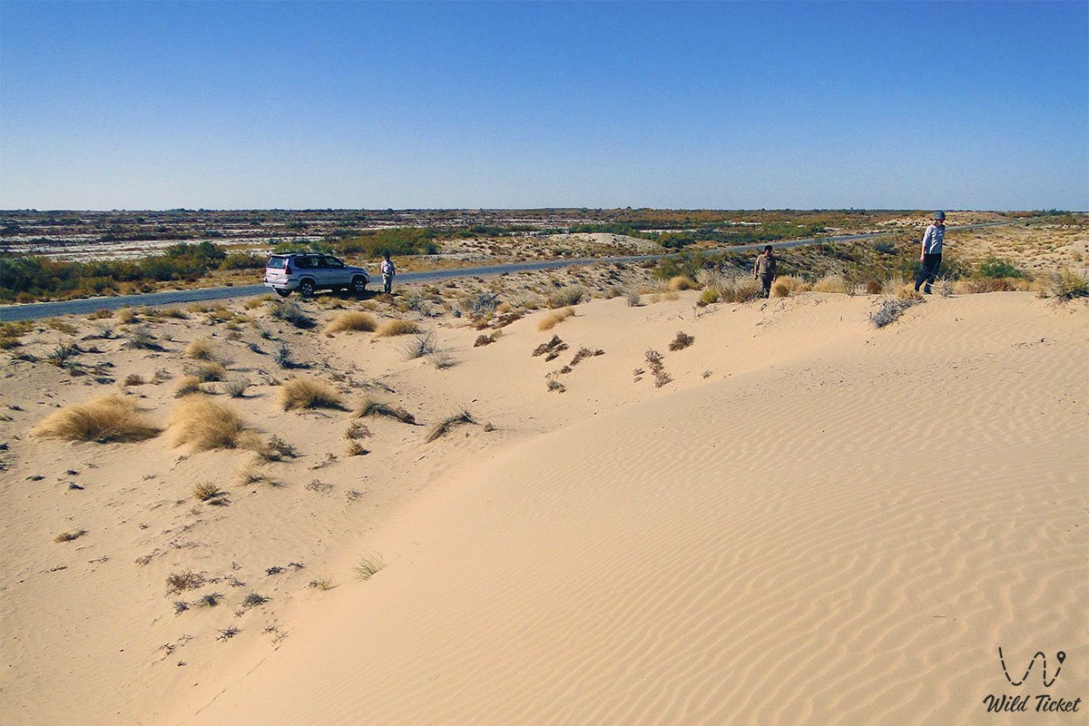
The Naryn Sands, or Ryn Sands, are located in the northwestern part of the Caspian Basin, between the Volga and Ural rivers. Administratively, it encompasses the Kurmangazy and Makhambet districts of the Atyrau region and the southern part of the Bokey-Orda, Zhanakala, and Akzhayik districts of the West Kazakhstan region.
---------------------------------------------
Tourist Information
The climate is sharply continental, with average January temperatures of -10.4 to -12.2°C and July temperatures of 24.9 to -25.5°C. Annual precipitation ranges from 214 to 246 mm. Snow depth does not exceed 10 cm. Moisture evaporation from the ground is 5-6 times greater than precipitation. Strong winds and dust storms are frequent. There are no stable rivers. Groundwater reserves are large (at a depth of 1.5 to 2 m). There are many wells and oases.
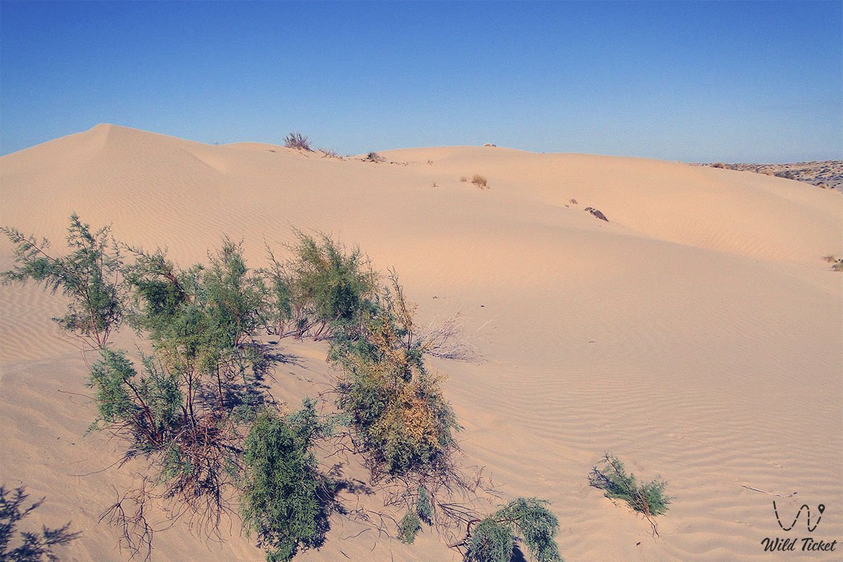
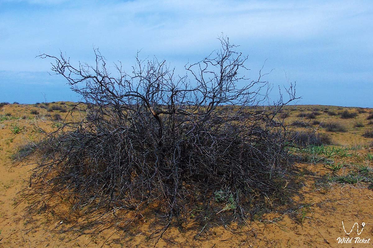
The spring floodplains of the Karaozen and Saryozen rivers sometimes irrigate the northern part of the Naryn Sands. The soil consists primarily of light-brown, sandy loam, and saline-gray soils. Birch, poplar, beech, and aspen grow here. Saiga antelope, rabbits, corsac foxes, steppe minks, and other animals inhabit this area. The Orda Geobotanical Reserve, located within the Naryn Sands, is located here.
Photogallery: