Travel to the Barsakelmes nature reserve -
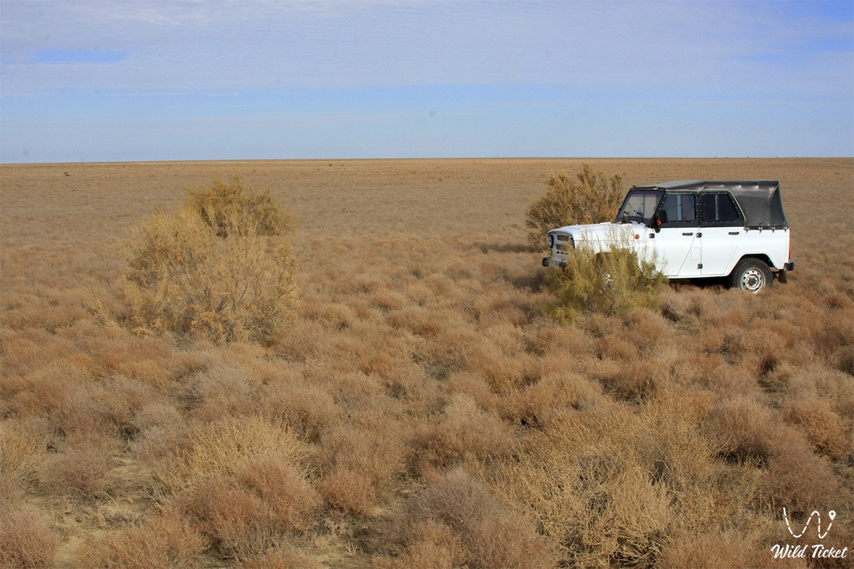
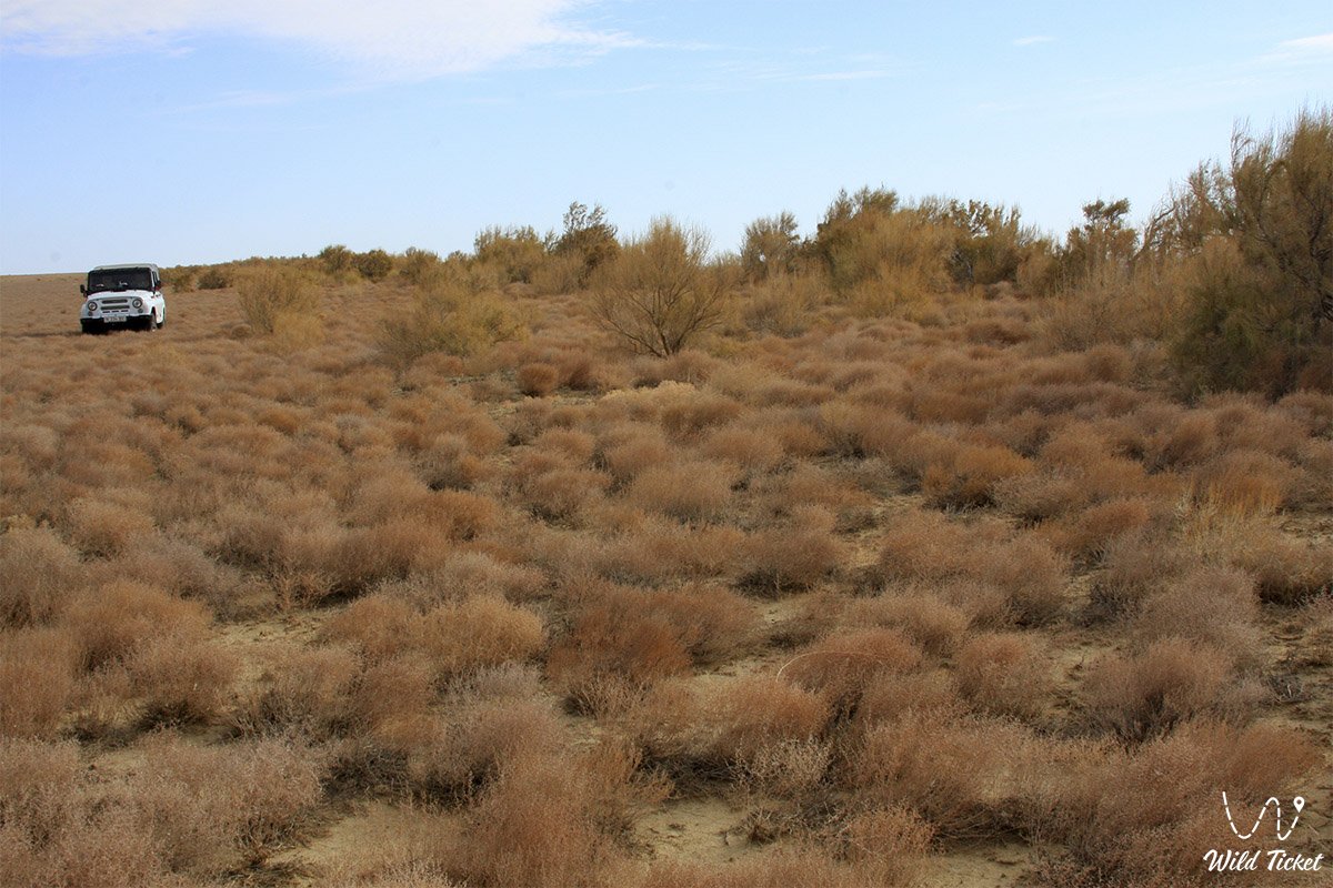
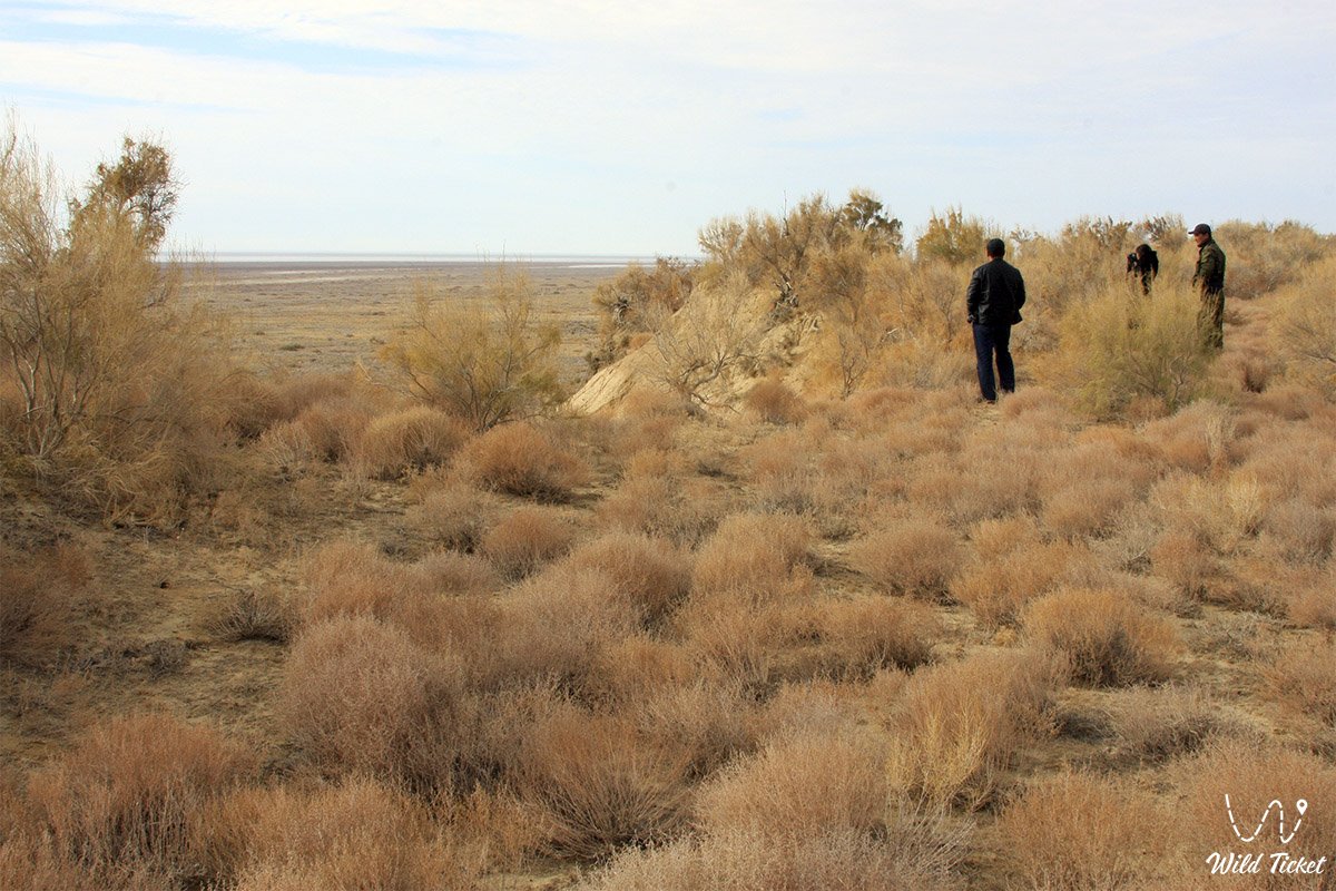
Jeep here in Barsakalme Natural Park and Reserve -
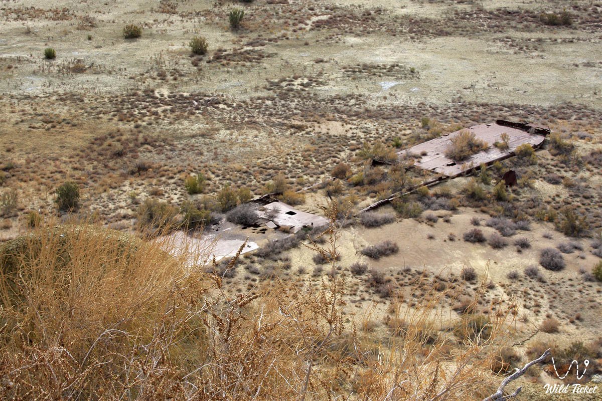
Barsakelmes Island. After the sea dried up, the names of the geographical objects around it changed. The bottom of the Aral Sea became known as the Aralkum desert. In the 1990s, the island of Barsakelmes was renamed the Barsakelmes peninsula, and since 2009 it has lost the status of a "peninsula", turned into a hill on the site of the sea, now it is referred to as an ex-island.
---------------------------------------------
How to get there -
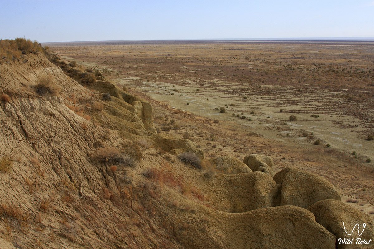
Barsakelmes is a peninsula in the northern part of the Aral Sea. Located in the Aral region of the Kyzylorda region. The length of the sea to the water intake was 28 km, and the land was 8 km, the area was 133 km2 (1987).
---------------------------------------------
Information for tourists
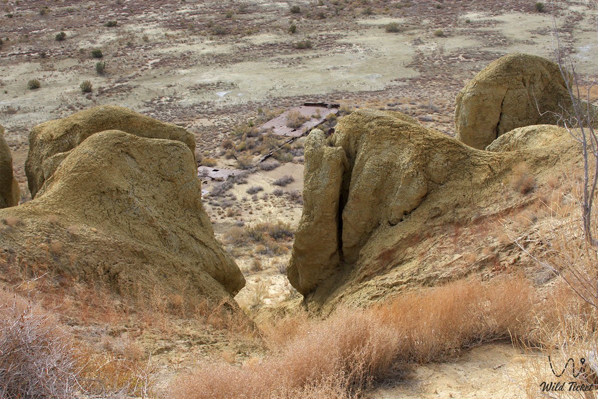
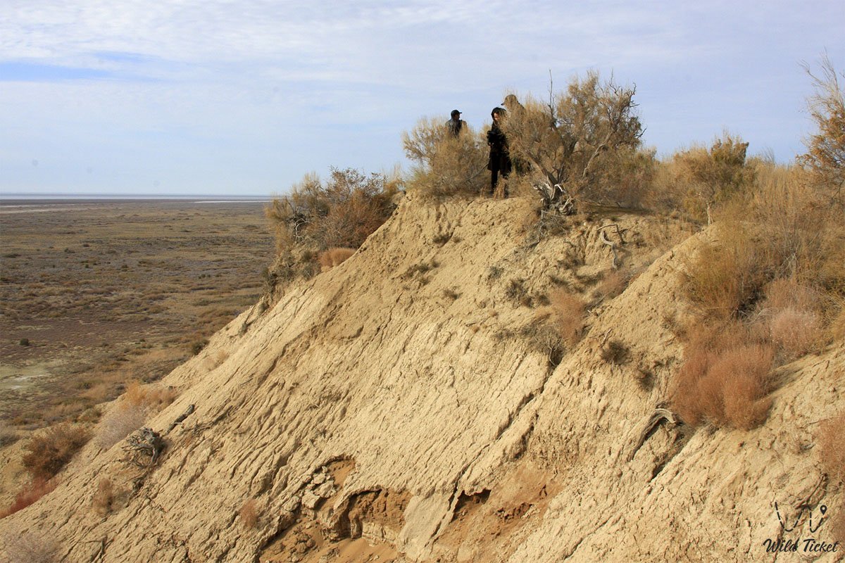
The peninsula stretches in a latitudinal direction. The crust consists of argillaceous shale and marl rocks of Neogene deposits. Its surface was covered with deposits of the Quaternary period. The relief is hilly. The absolute height (Shagalin Upland) is 113 m. There are sand dunes on the sandy lands.
The banks of the western part of Barsakelmes are rocky, on the eastern side, gently sloping. The climate is sharply continental and desert. Winter is cold, summer is hot. The average January temperature is -10 ° С, on some days it drops to -35 ° С. The average July temperature is 26.5 ° C, sometimes it rises to 40 ° C. Annual precipitation is 100-120 mm. The soil is gray, brackish and sandy loam. The most common plants are saxaul, hawthorn, yarrow, several types of wormwood, and various herbs.
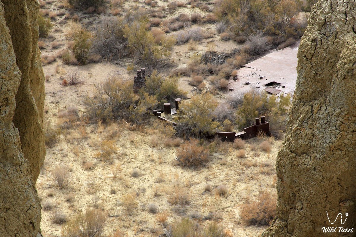
Due to the leakage of sea water and deforestation of the soil, the animals of the peninsula (saiga, Kulan, Gazelle, hare, etc.) were transferred to the Kapshagai hunting-reserve economy and the Ustyurt reserve.
Photogallery: