History of Barsakelmes Island
Chronicle of the legendary island of the Aral Sea from the first caravans and topographic surveys to the drama of disappearance -
The history of Barsakelmes Island (translated from Kazakh as "if you go, you will not return", in pre-revolutionary sources also Suzhok – "waterless") represents one of the most dramatic and fascinating chapters in the chronicle of Central Asia. Located in the northwestern part of the water area of the Aral Sea in the Kyzylorda region, this second largest island of the Aral Sea traversed a path from a sacred refuge lost in storm waves to a world-famous nature reserve and the epicenter of an ecological disaster.
The historical path of Barsakelmes was shaped by a succession of alternating eras: centuries-old nomadic legends about the demise of clans in the ice, the first hydrographic expeditions of the Russian Empire in the mid-19th century, bold scientific experiments of the Soviet era on the acclimatization of endangered animal species, and a global transformation of the landscape that turned a blooming island into a terrestrial tract amid the Aralkum Desert.
The chronicle of the island is inextricably linked with the names of prominent navigators, artists, geographers, and biologists: Alexei Butakov, Taras Shevchenko, Lev Berg, and dozens of dedicated scientists and rangers who stood watch for decades in the midst of the salty elements. Studying the history of this patch of land allows one to understand how the climate, nature, and human perception of one of the most enigmatic corners of Kazakhstan Priaralye evolved.
--------------------------------------------
How to get there and visit -
The historical tract of Barsakelmes (former island) is located in the Aral district of Kyzylorda region, Republic of Kazakhstan, approximately 180 kilometers southwest of the city of Aralsk and 620–640 kilometers west of the city of Kyzylorda.
The historical route to the site begins in Aralsk, follows south along the "Samara – Shymkent" highway (M-32), passes through Karateren village, Akbasty village, Tastubek village, or Akespe village, the road through which runs along the northern part of the North Small Aral Sea.
GPS geographical coordinates: 45°38'59"N 59°53'34"E
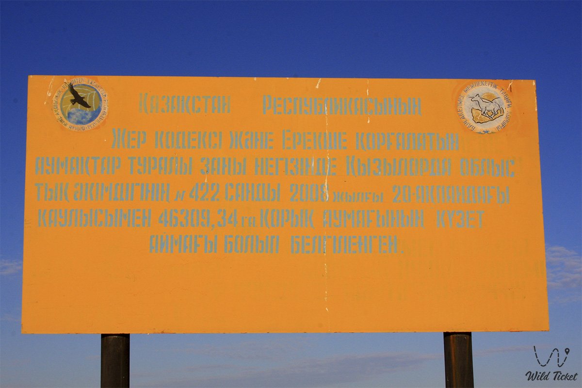
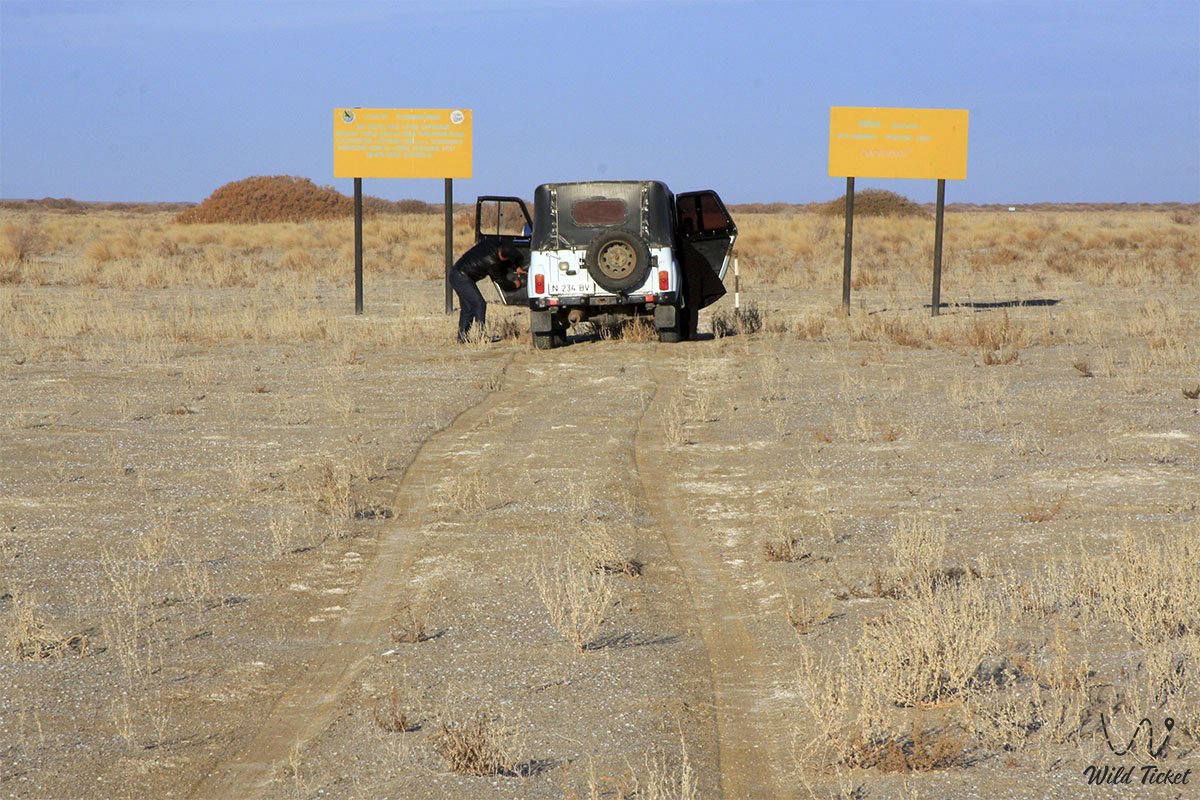
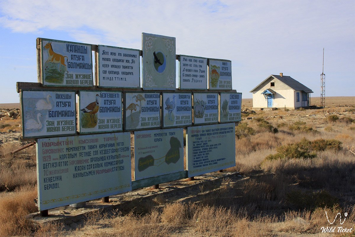
The territory of the former island is part of the protected core of the UNESCO Barsakelmes State Nature Biosphere Reserve. Visiting the tract is strictly regulated by the environmental legislation of the Republic of Kazakhstan: unauthorized entry is prohibited.
Visiting historical locations is possible only upon obtaining an official permit and pass through the reserve's directorate in Aralsk, exclusively accompanied by state protection inspectors or scientific staff.
List of tours in the area of Barsakelmes Island and the Aral Sea.
--------------------------------------------
History
The historical development of Barsakelmes is rooted deep in the centuries, when the island served as a temporary refuge for nomadic clans of the Junior Zhuz during periods of internecine strife and winter dzhuts. Nomads crossed onto the island over the thick ice of the Aral Sea, attracted by rich pastures and wind-sheltered ravines. However, the absence of permanent sources of fresh water often led to tragedies when sudden spring ice movements cut people off from the mainland, and summer heat dried up snow pits.
The scientific chronicle of the island began in 1831, when the Russian scientist and geographer Alexei Irakliyevich Levshin first plotted its outlines on a map of the Aral Sea, recording the primordial geographical position of the site.
In August 1848, the first military-scientific hydrographic expedition under the command of Lieutenant Commander Alexei Ivanovich Butakov on the sailing-motor schooner "Konstantin" approached the shores of the island. Officers A. I. Maksheev and A. A. Akishev conducted a detailed topographic survey, sounded coastal depths, and compiled the first landscape description of the table plateau. Serving in this historical expedition was the exiled soldier – the prominent Ukrainian poet and artist Taras Grigorievich Shevchenko, who created a series of watercolors and pencil sketches of the coastal cliffs of Barsakelmes (including the famous drawing of a mysterious large egg in a clay bluff). Butakov's expedition also gathered the first scientific herbarium of island plants, transferred to the Botanical Institute in Saint Petersburg.
In 1874, zoologist V. D. Alenitsyn carried out the first studies of the island's terrestrial fauna, and in July 1900 detailed physical-geographical explorations on Barsakelmes were conducted by the future president of the USSR Geographical Society, L. S. Berg.
During the pre-revolutionary period, no permanent settlements arose on the island. Trappers and fishermen from the mainland visited periodically: fish merchants (including a fish industrialist from Avan who left his name to the Petkin-Kul basin) built dugouts, erected buguty dams in ravines to retain spring meltwaters, chopped saxaul, and sowed barley.
A new stage in the history of the island began in the Soviet years:
• 1929 – the "Soyuzpushnina" trust established a permanent hunting and trapping enterprise on the island: saigas, goitered gazelles, grey partridges, pheasants, yellow ground squirrels, and European hares were introduced, and a central homestead and the first cordons were built.
• December 10, 1939 – by Decree No. 973 of the Council of People's Commissars of the Kazakh SSR, Barsakelmes was declared a state nature reserve of republican significance (the saiga population at that time was 50–60 individuals).
• 1940–1941 – work of a permanent scientific department was deployed with the participation of graduates of the S. M. Kirov Kazakh State University.
• 1953 – the historic introduction of 9 Turkmenian kulans from the Badkhyz Reserve in Turkmenistan (2 males and 7 females) initiated a successful program for reviving this ungulate in Kazakhstan, where the last wild kulan died in 1936.
• 1960s – 1980s – a period of biocenosis flourishing: the number of kulans exceeded 240–300 head, saigas – 230, goitered gazelles – 160. The beginning of the Aral Sea water level drop, desiccation of freshwater lenses, and increase in water mineralization.
• 1982–1991 – rescue evacuation of the majority of the kulan population (over 250 individuals) to the "Altyn-Emel" National Park, the Caspian region, and Ustyurt.
• 1997 – as a consequence of the retreating sea, Barsakelmes lost its island status and turned into a peninsula.
• 2005 – by Government Decree No. 1162, the territory of the reserve was expanded to 160,826 ha through drained seabed lands and the mainland tract of Kaskakulan.
• 2009–2015 – desiccation of the eastern basin of the Large Aral transformed Barsa-Kelmes into a dryland tract; subsequently, the status of the coastline fluctuated, restoring a peninsula regime in the high-water years of 2017 and 2020.
• 2016 – the Barsakelmes Biosphere Reserve was officially inscribed into the UNESCO World Network.
Information
The geological and historical-natural foundation of Barsakelmes took shape over millions of years. The island plateau is formed by Paleogene clays of the Chegan formation, marls, and quartz sandstones of the Kutanbulak formation, holding fossilized shells of Oligocene marine mollusks. In the erosional ravines of Kebirsay, gypsiferous clays of the lower Miocene with crystalline brushes of gypsum are exposed.
In historical perspective, the area of the island prior to the onset of shallowing was about 180–200 square kilometers, measuring 23–30 km in length and 7–12 km in width. During the period of sea-level fall by the early 2000s, the dimensions of the landmass grew to 40 by 16 km, exceeding 300 sq. km, until the water retreated entirely to the west.
The primary historical challenge for all inhabitants of the island has always remained an acute deficit of fresh water. The average annual precipitation norm did not exceed 108–128 mm per year, and groundwater was brackish. Saving the unique animal population was made possible through the selfless labor of rangers and zoologists who created watering holes manually, and in the 2000s – through the connection of artesian wells in the Kaskakulan section.
The cultural history of the island was reflected in classic literature: Barsa-Kelmes became the setting for Boris Lavrenyov's famous novella "The Forty-First" (1924), Uzbek writer Jonrid Abdullakhanov dedicated a trilogy novel to it, and in 2022 Kazakh author Gabit Bekakhmetov published the sci-fi novel "Barsa Kelmes". The island also entered the history of domestic science fiction thanks to publications in the magazine "Tekhnika – Molodezhi" and hoaxes by writer Sergei Lukyanenko.
Detailed description of the venue
The historical and landscape ensemble of the Barsakelmes tract includes a complex of key commemorative sites and natural landmarks:
• Bayan Plateau and Mount Chaika – high points of the bedded-denudation plateau (up to 108–113 m above sea level), where stationary observation towers of hydrometeorologists and zoologists were located.
• Chinks of the southern shore – precipitous layered limestone cliffs up to 60 meters high, at the base of which storm waves of the Aral Sea crashed for centuries.
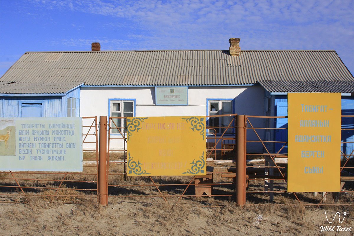
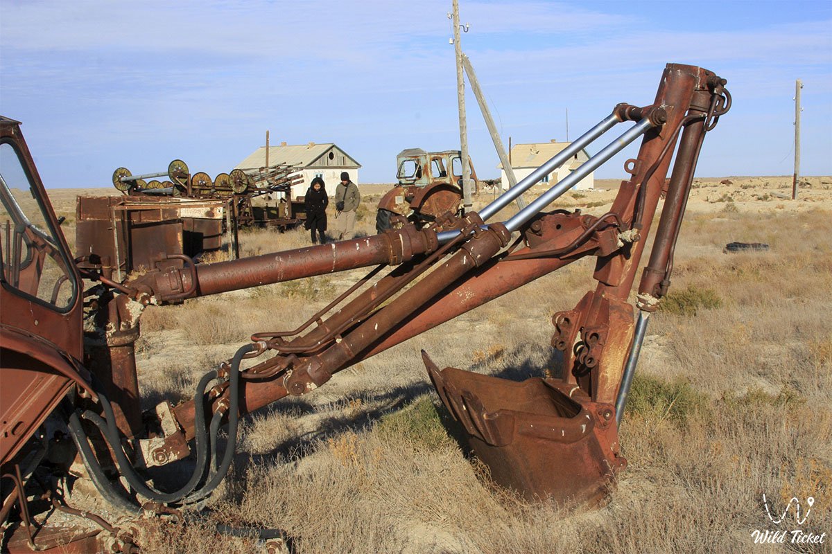
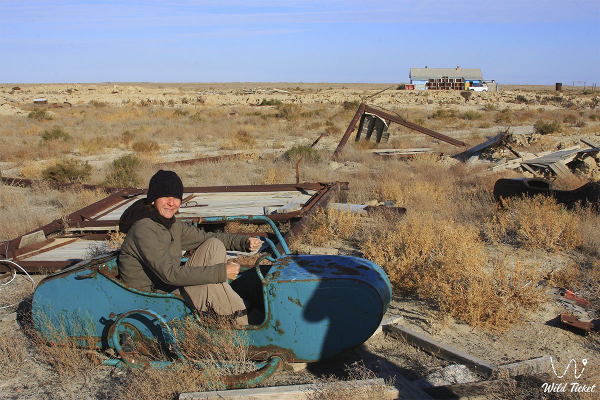
• Central homestead of the reserve – a mothballed scientific settlement of biologists and meteorologists on the northern slope of the island, a testament to the era of large-scale field research in the 1940s–1980s.
• Petkin-Kul basin – the historical bed of an artificial reservoir built by a fish industrialist from Avan, featuring remains of ancient 19th-century earthen dams.
• Kebirsay erosional tracts (Eastern and Western) – labyrinths of ravines with exposures of green Oligocene clays and sparkling gypsum crystals.
• Historical buguty – a system of ravine dams and artificial accumulators of meltwater built by staff of the "Soyuzpushnina" hunting enterprise in the 1930s.
• Traces of ancient dugouts – remains of temporary encampments of pastoralists and saxaul harvesters from the 19th to the early 20th century.
• Relict marine terraces – coastal ridges with shell deposits, visually documenting the successive stages of the Aral Sea's retreat.
Flora and fauna
The vegetation cover of Barsakelmes developed under conditions of millennia of island isolation. The flora of higher vascular plants numbers from 256 to 278 species, of which about half are ephemerals and ephemeroids: Borshchov's tulip, two-flowered tulip, Adonis, corydalis, fumitory, and Tatar rhubarb. Zonal wormwood-biyurgun formations (gray-soil wormwood, biyurgun, desert wheatgrass) have dominated the plateau for centuries. In depressions, relict groves of black and white saxaul (forested area – about 164 ha), clusters of tamarisk, Atraphaxis, and the endemic Pratov's saltbush have survived.
The fauna of the island entered the history of Soviet and global conservation as a model of successful introduction. Along with saigas and goitered gazelles introduced in 1929–1939, Barsa-Kelmes became a lifesaving cradle for the Turkmenian kulan. The 9 individuals introduced in 1953 gave rise to a wild population that recovered in Kazakhstan to several thousand head (276 kulans inhabit the reserve itself today).
Among mammals, the tolai hare, European hare, yellow ground squirrel, long-eared hedgehog, small jerboa, small five-toed jerboa, marbled polecat, corsac fox, and steppe wolf historically inhabited this area. The avifauna numbers 108–178 species, including Red Book species: the houbara bustard, golden eagle, steppe eagle, peregrine falcon, saker falcon, black-bellied sandgrouse, and Pallas's sandgrouse. Dalmatian pelicans, whooper swans, and little egrets are protected in the coastal reed beds of the Syr Darya delta.
Legend
The history of Barsakelmes is surrounded by dozens of mystical legends. The foremost Kazakh legend that gave the island its formidable name "If you go, you will not return" tells of a bai who fled with his kinsmen and countless livestock across the thick winter ice to the distant island during troubled times. The fugitives spent the winter safely, feeding on game and snow water. But a spring hurricane shattered the sea's ice sheet, cutting people off from land, and the summer heat dried up all reservoirs. Without a drop of water, all the nomads and their herds perished. A year later, kinsmen arriving over new ice found only dust-covered skeletons of yurts.
Another legend told of giant seven-meter steppe pythons and ancient lizards inhabiting clay caves (which echoed Taras Shevchenko's painting of a snake egg).
In the 1950s, the Kazakhstani newspaper "Leninskaya Smena" printed a hoax about a pterosaur soaring over the island to attract readers. Later, an urban legend arose about an island inhabitant named Abdrazak (Abdirazak), who allegedly lived in a yurt, witnessed the fall of a celestial "lens," and transmitted cosmic predictions that foretold Yuri Gagarin's launch, while the engines of military helicopters sent after him stalled in the fog.
Rumors of the "Kazakh Bermuda Triangle" – a topographic team that disappeared in 1930–1935 and returned three months later convinced that only three days had passed – were actively fueled by Soviet science fiction enthusiasts. In 2002, writer Sergei Lukyanenko officially uncovered the secret, admitting that publications in "Tekhnika – Molodezhi" about chronal anomalies, UFOs, and pteranodons of Barsakelmes were a collective literary hoax. Nevertheless, the real history of scientists' struggle to preserve the island proved no less grandiose than any myths.
Conclusion
The history of Barsakelmes Island is a chronicle of the majesty of pristine nature, human perseverance, and planetary ecological upheavals. Having passed through centuries from a waterless camp of nomads and Butakov's schooners to the pinnacle of UNESCO global recognition and the drying of marine bays, Barsa-Kelmes has forever remained a symbol of Priaralye.
The memory of the vanished island reminds humanity of the indissoluble bond between nature and civilization, calling for the careful preservation of fragile oases of life amid endless steppes and sands.
Interesting sights nearby:
• Aral Geopark;
• Large Aral Sea;
• Kokaral Dam;
• Butakov Bay;
• Shevchenko Bay;
• Aralkum Desert (dried seabed);
• Lake Kamystybas (Kambash);
• Aral-Asar Settlement;
• Kerderi Mausoleum;
• Istyk-Su Hot Radon Spring near Akespe Village.
Additional Information:
• Barsakelmes Nature Reserve;
• Barsakelmes Island;
• Wildlife of Barsakelmes Island.
Photogallery: