Katon Karagai attractions -
Jeep tours of nature reserves of Kazakhstan -
The East Kazakhstan region is an administrative and territorial part of the north-east of the Republic of Kazakhstan. The region has great potential for the development of cultural and educational tourism. The territory has unique natural, geographical, climatic, balneological, cultural and historical resources that can demonstrate its potential competitiveness not only in Kazakhstan, but also in the global tourism market.
---------------------------------------------
Eco-tourism in East Kazakhstan
In terms of tourism development in the East Kazakhstan region, it ranks 3rd after Almaty and Nur-Sultan (Astana). The Concept of Tourism Development of the Republic of Kazakhstan until 2020 states that the East Kazakhstan Cluster will be defined as a "World of natural Wonders" and as a center for the development of ecotourism.
The East Kazakhstan cluster includes the northern and eastern parts of the East Kazakhstan region. The cluster center will be the cluster center, which will include 8 main tourist attractions.:
1) objects of the Berel State Historical and Cultural Reserve-Museum;
2) Bukhtarma reservoir;
3) The Irtysh River and Lake Zaisan;
4) Katon-Karagai State National Nature Park;
5) Kalzhyr Pass;
6) Ridder-Anatau Mountains;
7) Lake Alakol;
8) The City of Families.
It is known that Kazakhstan's entry into international tourism has its own prospects. Our potential sales markets are Russia, China, Europe and the Middle East. Russia and China alone provide more than 150 million tourists. To date, Kazakhstan has agreements with 52 countries on the transition to a visa-free regime.
The history of the earth
The territory of the East Kazakhstan region has been inhabited since ancient times. According to him, in Altai, in the Zaisan River basin, on the Tarbagatai and Sauyr ranges there are traces of ancient mines, irrigation systems, fortifications and settlements. At the beginning of the 15th century, after the upper reaches of the Irtysh basin were occupied by the Oirats, this place became part of the Dzungarian Khanate. In 1758, after the destruction of the Dzungarian Khanate by Chinese troops, the Kalmyks moved to the other side of the Volga. The Kazakh tribes, who were displaced by the Kalmyks and mainly inhabited Saryarka, returned to their ancient settlements.
At the beginning of the 18th century, tsarist Russia built a network of Irtysh fortifications in the territory of the modern region, expelling the Kazakhs from their homeland in order to deepen the colonization of Kazakh lands. Gradually, a system of fortifications and outposts was built on this line, and later Cossack-Russian villages were built (Semipalatinsk in 1718, Ust-Kamenogorsk in 1720, Bukhtarma in 1763). Cossack-Russian settlements appeared on the right bank of the Irtysh and its branches.
Ten kilometers of fertile land on both sides of the Irtysh River ("Irtysh Ten-mile strip") were taken from the Kazakhs and transferred to the use of Russian Cossacks. That is, Kazakhs were forbidden to settle closer than 10 km from the Irtysh River. The Kazakhs lost their most fertile lands, lost the names of their ancestral settlements and were replaced by Russian names preserved on the pages of the map.
All tributaries, ravines and rivers flowing into the Irtysh are named in Russian. Villages gradually moved to the south and southwest. 1826 Kokpekty fortress at the foot of the Kalbinsky ridge, 1831 A village appeared on the right bank of the Ayagoz River, not far from the modern city of Ayagoz, the fortress of Sergiopol.
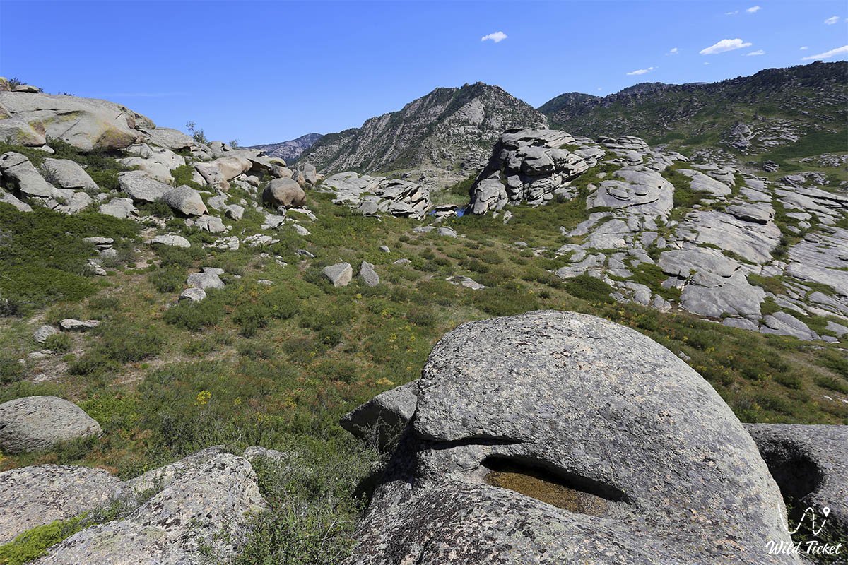
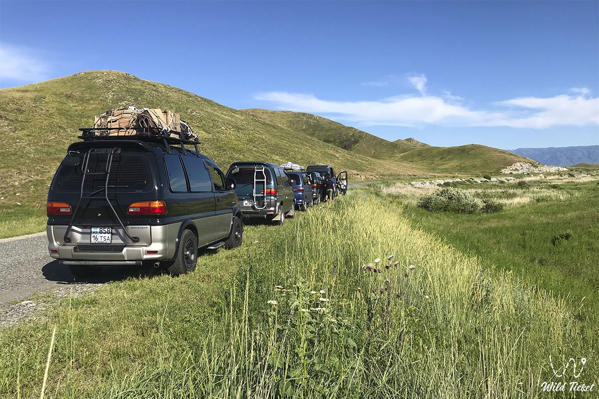
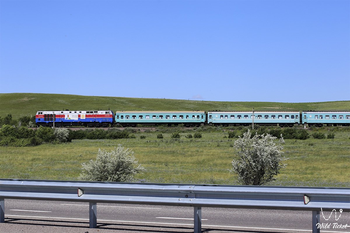
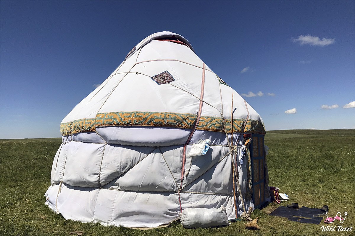
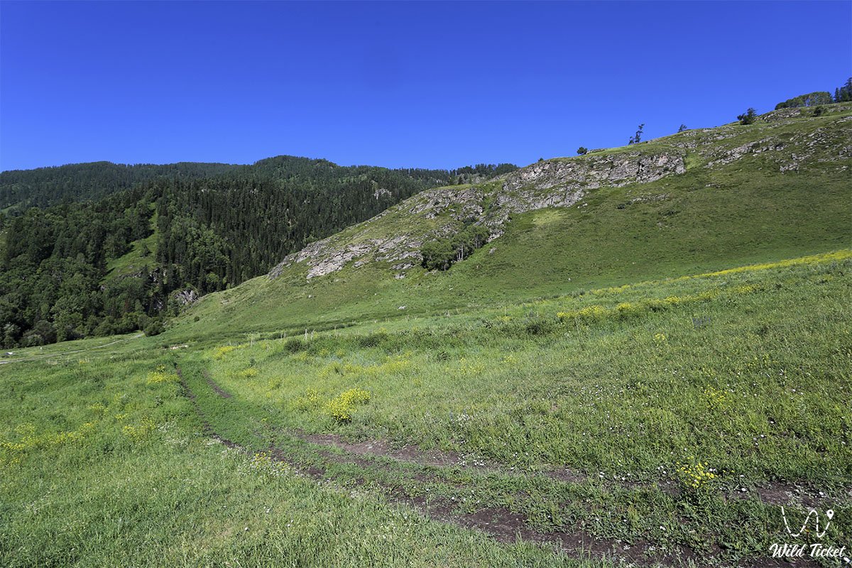
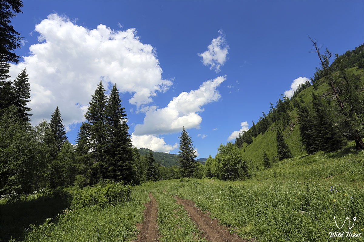
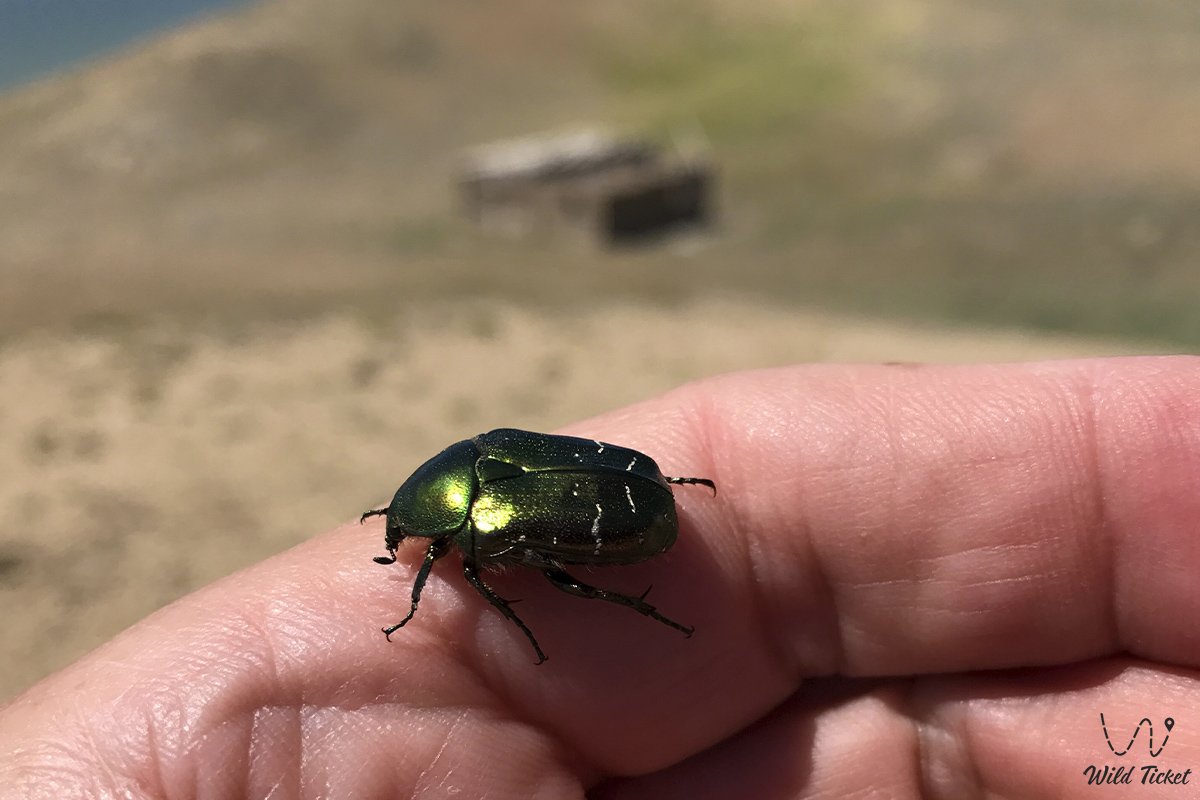
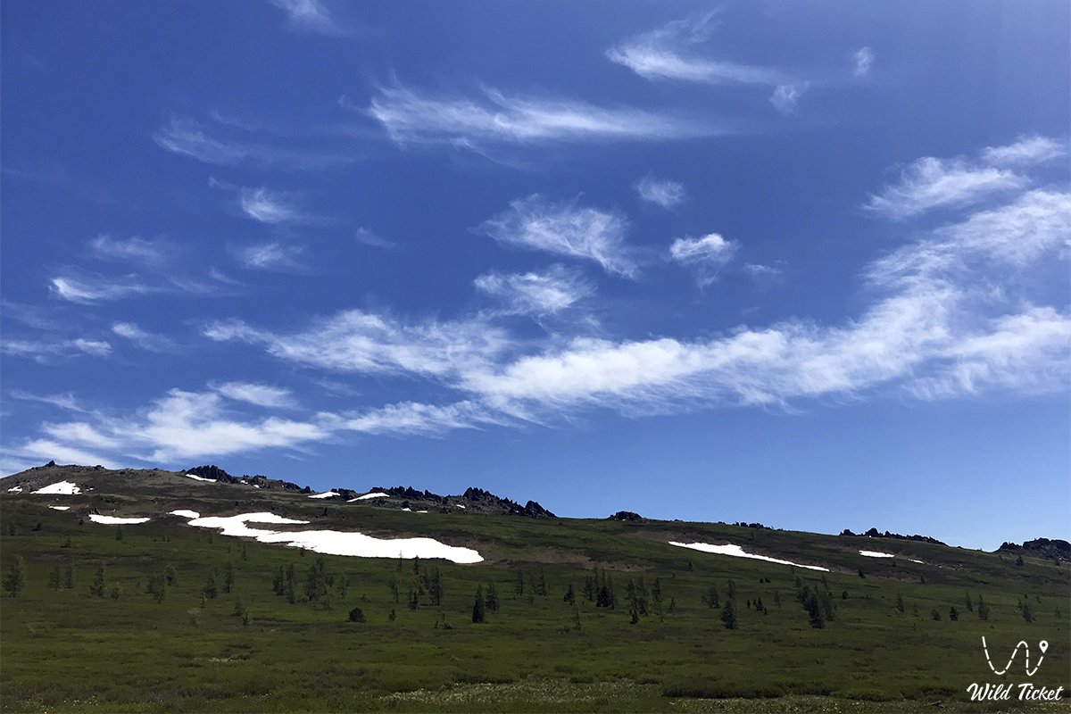
Photogallery: