Traveling through the mountains of the Almaty region -
Nature of the Raimbek district of the Almaty region -
Karatau is a mountain range located in the northwest of the Tien Shan Range. The peaks of the ridges are gentle, the slopes are ravine-like and steep. The Syr Darya occupies the southwest of Karatau, and the Talas River basin occupies the northeast.
The highest point is Mount Bessaz (2,175 m). The range consists of the adjacent ranges Maly Karatau and southwestern Karatau.
How to get there and visit -
Karatau is located mainly in Zhambyl region. Only the northwestern part is located in the Turkestan region. It stretches from northwest to southeast for 420 km, and currently has a length of 60-80 km (Boraldai ridge in the southeast).
Geology
Eastern and lower Karatau Karatau are composed of Proterozoic shales and sandstones, while southwestern Karatau is composed of carboniferous limestones, sandstones, conglomerates, and Devonian volcanics.
Climate
The average January temperature is -10°C on the northern slopes and slopes of the ridge, -6 °C in the southwest. Summer is hot and dry, with an average July temperature of 22-26°C. The average annual precipitation is 200-400 mm in the foothills and 400-600 mm in the mountains. Karatau district has large groundwater reserves.
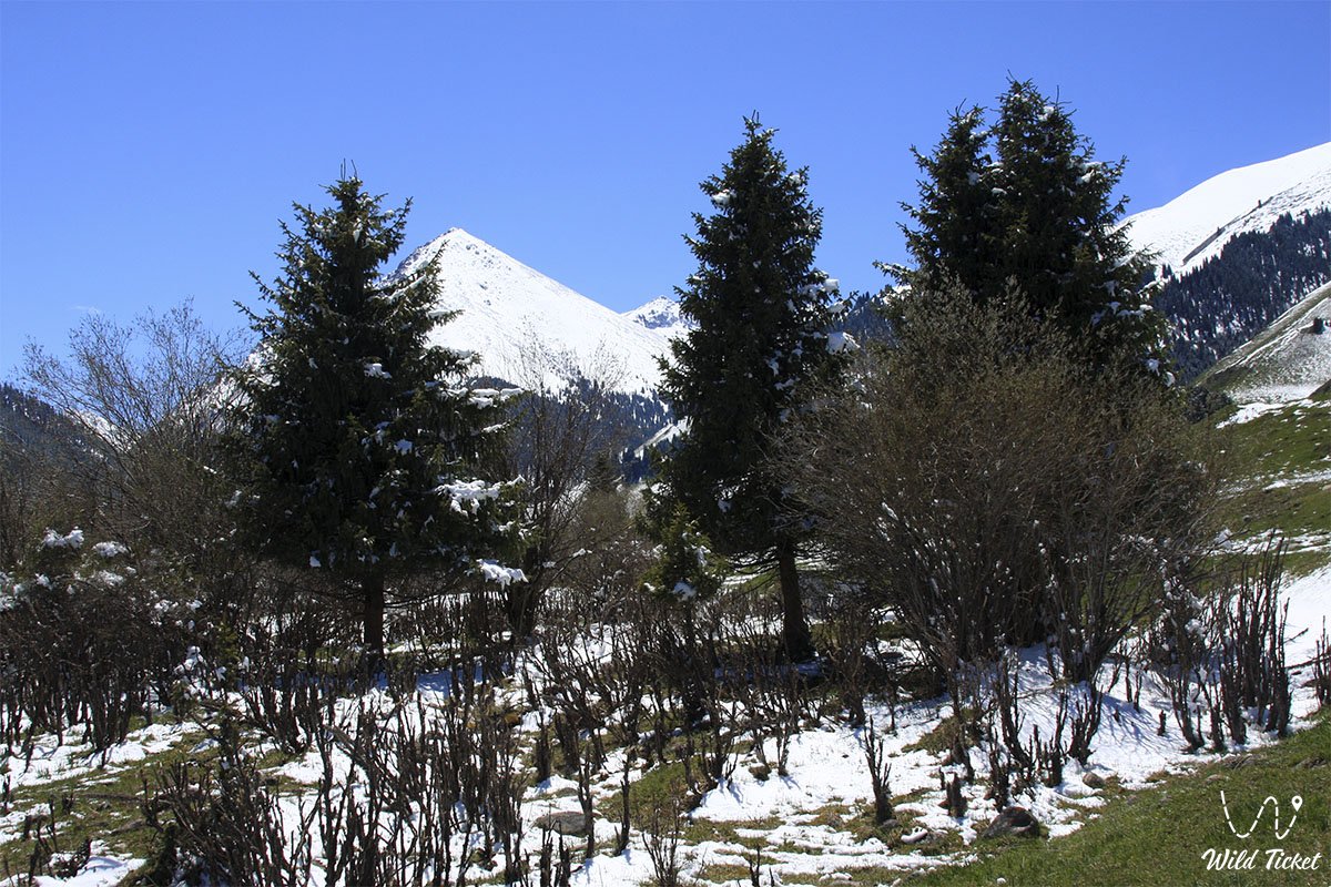
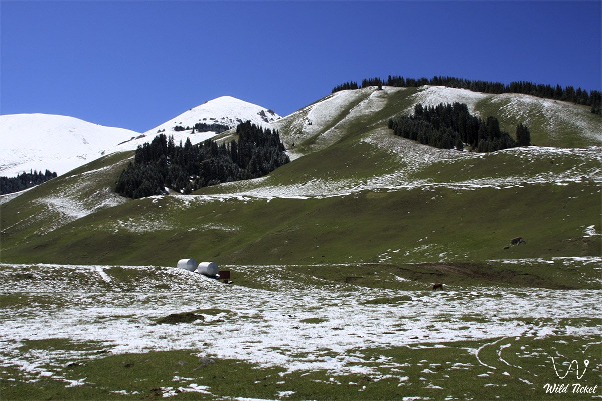
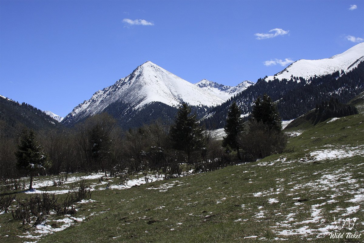
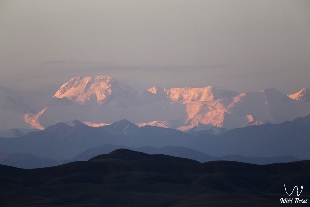
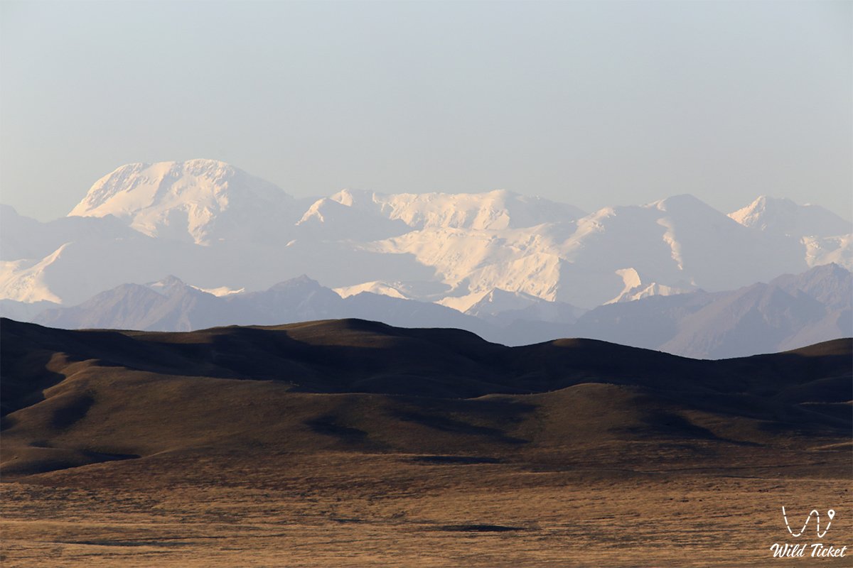
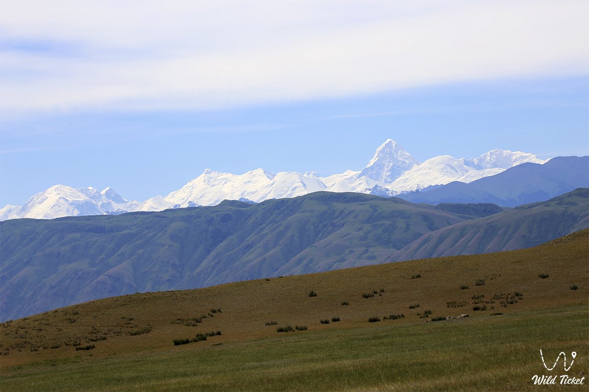
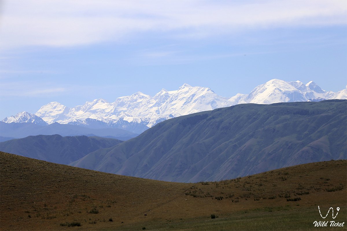
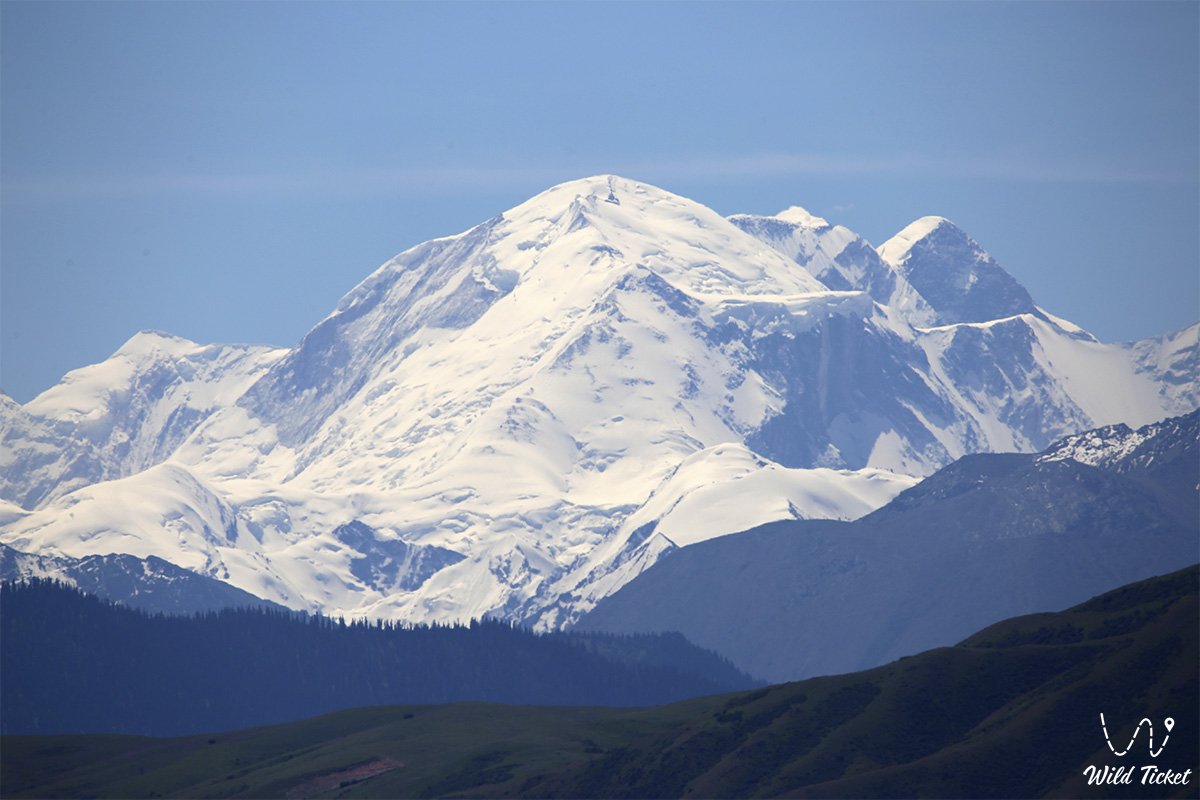
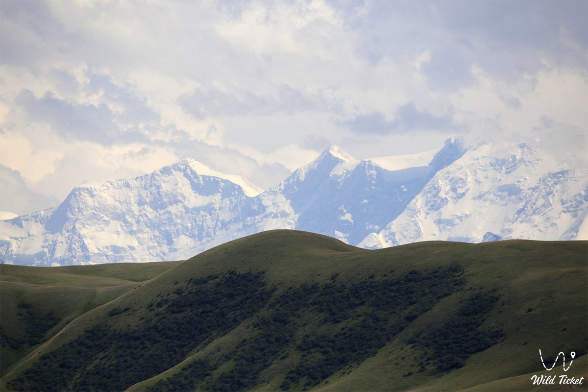
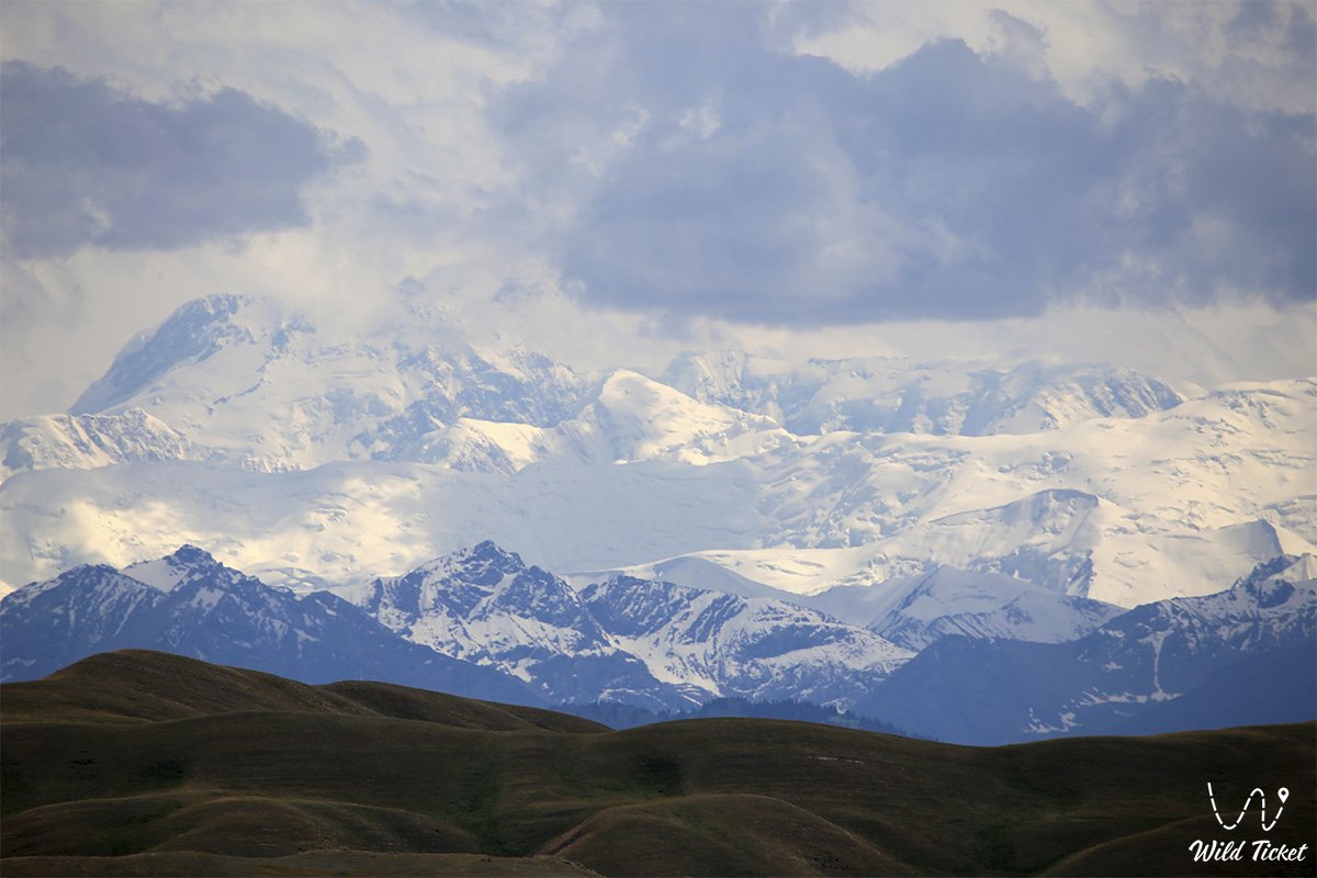
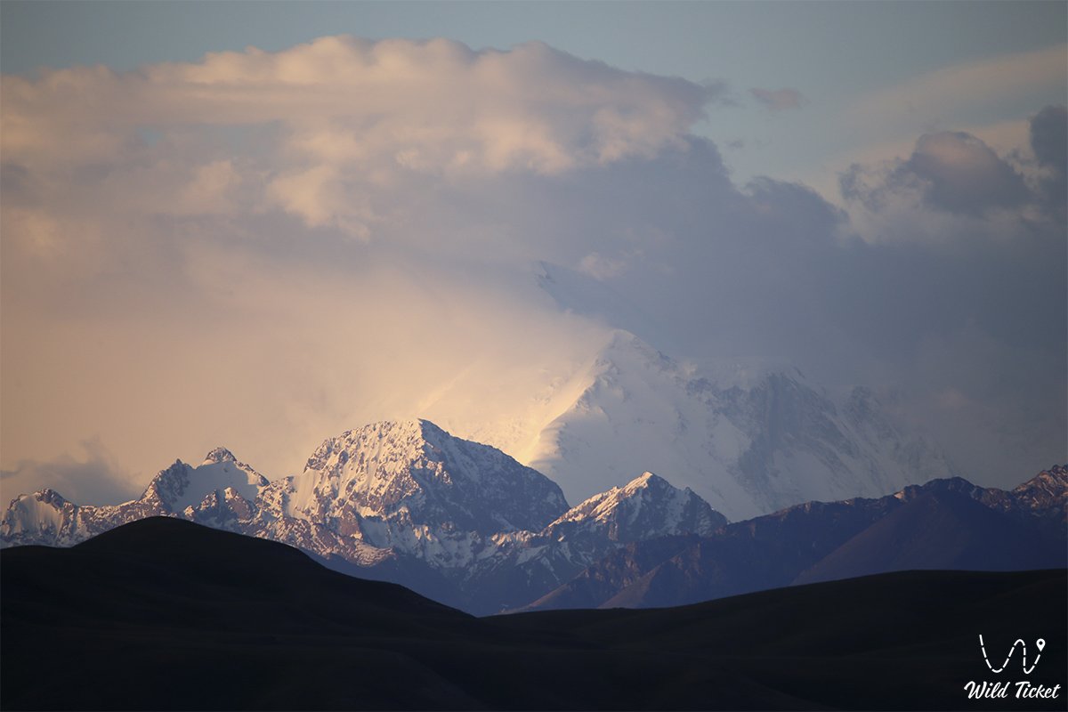
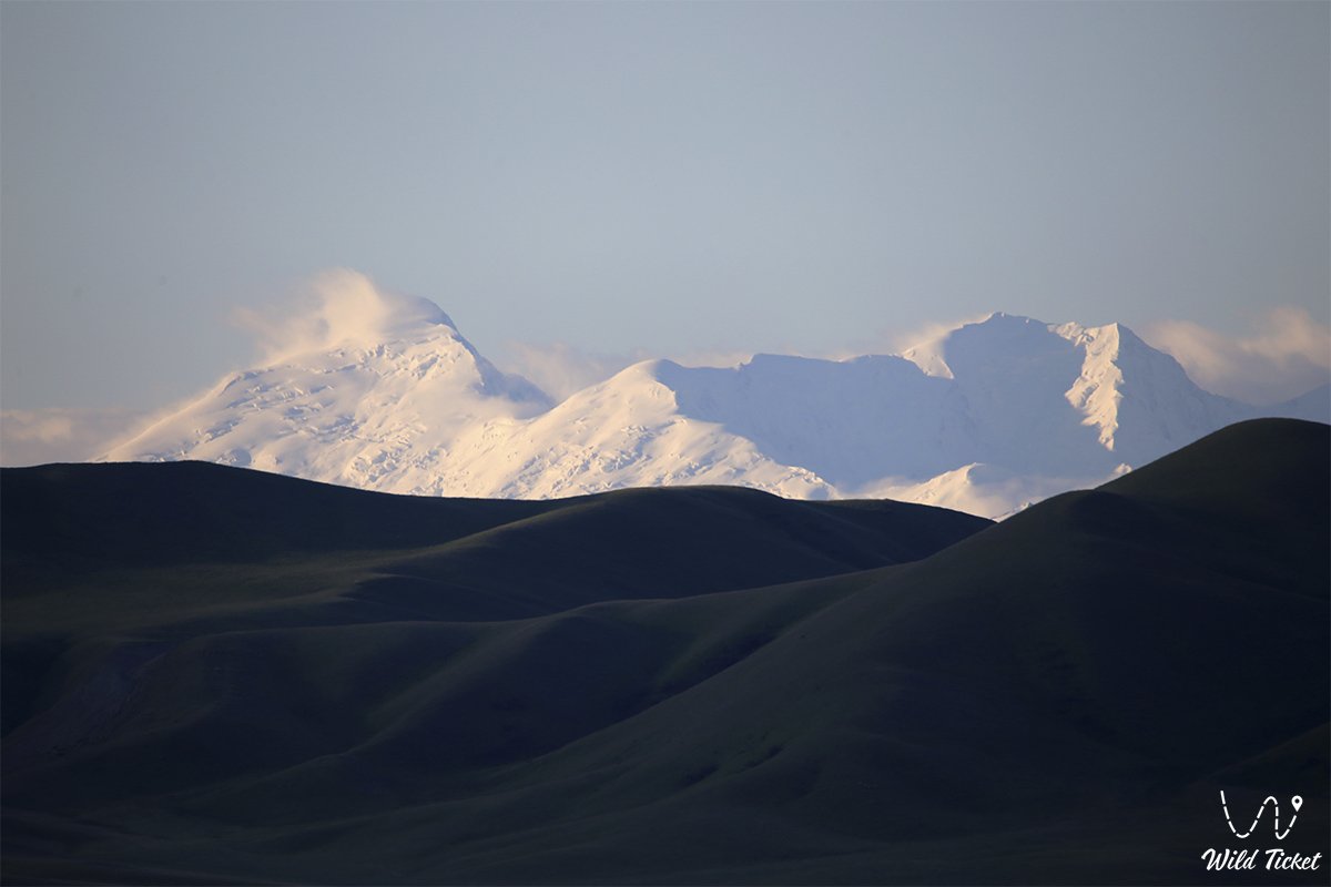
Photogallery: