Жетысу (Джетысу) – Семиречье -
Жетысу – как добраться -
Жетысу – историко-географический регион. Жетысу граничит с озером Балхаш на севере, озерами Сасыкколь и Алаколь на северо-востоке, горы Жетысу (Джунгарский) Алатау на востоке и горы Северным Тянь-Шанем на юге и юго-западе. Исторические данные и исследования расходятся по 7 рекам, входящим в состав Семиречья. А.К. Гейнс называет реки Лепсы, Баскан, Саркан, Аксу, Буйен, Каратал и Коксу, А. Влангали вместо Баскана и Саркана упоминает реки Аягоз на северо-востоке и Или на юго-востоке.
Согласно В.В. Бартольду, местные жители первоначально называли Семиречьем область, простирающуюся к северу от реки Или, в которую входят реки Лепсы, Баскан, Аксу, Буйен, Кызылагаш, Каратал, Коксу. Представление о горной области, простирающейся к югу от Семиречья и реки Или, распространилось в XIX в., а также к северо-западным и центральным районам Тянь-Шаня. В исторической литературе понятие Семиречье включает также дельту, в которую входят бассейн реки Шу и верховья реки Нарын.
История
Археологи, историки и географы делят Семиречье на Северо-Восточное Семиречье (от озера Балхаш на севере до горного хребта Кетпень и гор Заилийского Алатау на юге, от озера Алаколя на северо-востоке до Шу-Илийского водораздела на юго-западе) и Юго-Западное Семиречье (Шуйская и Таласская долины). Давая такое историко-географическое определение Жетысу, учитывают не только природные условия региона, но и особенности его прошлого экономического, политического, этнокультурного развития.
Общая информация
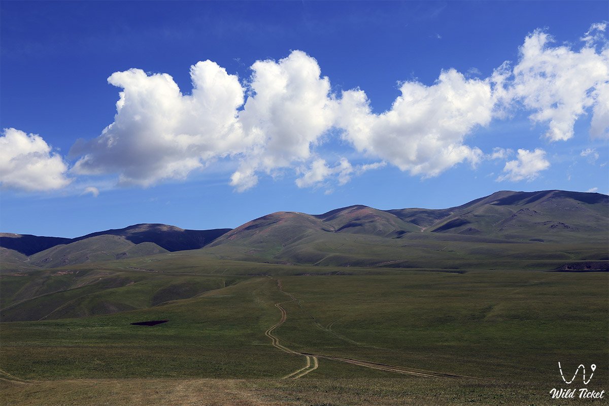
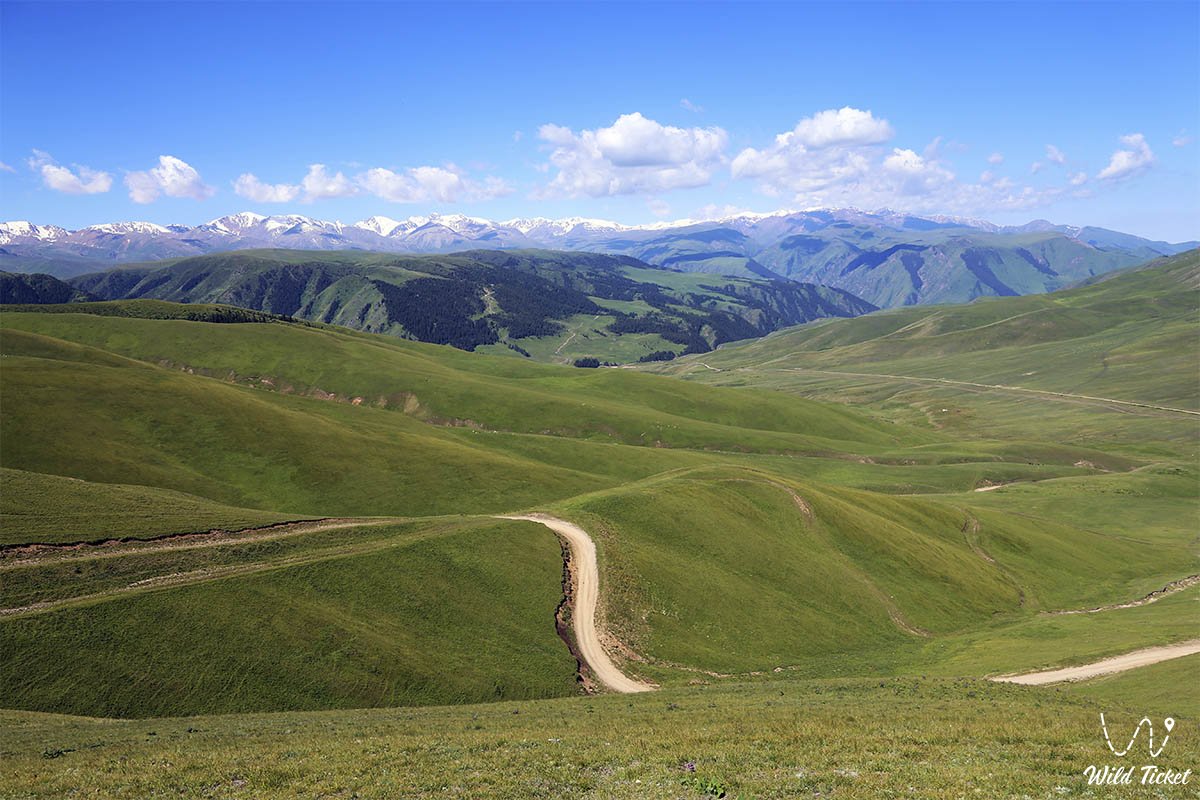
Обширная территория Семиречья (900 км с севера на юг и 800 км с запада на восток) и разная высота гор также способствовали разнообразию его климата и ландшафта. Земледелие в этом регионе издавна было оазисным и требовало искусственного орошения. Широко распространено пастбищное скотоводство. В предгорьях юго-восточной части Семиречья (на высоте 600 - 1200 м) погода влажная, бурая прохладная и переменчивая, почвы плодородные. Много горных рек, используемых для орошаемого земледелия. Над ним растут плодовые и лиственные деревья.
Район богат зелеными фруктовыми деревьями и лугами для выпаса скота. Такие благоприятные природно-географические условия сделали Семиречье одним из древнейших культурных центров Туркестана. Племена, населяющие его, играют важную роль в историческом становлении казахского народа, становлении и укреплении государства, развитии культуры.
Возникновение животноводства и земледелия в Семиречье относится к эпохам неолита и энеолита. В эпоху бронзы. Материальная и духовная культура жителей этого края получила дальнейшее развитие, стали появляться медные и бронзовые орудия труда, скотоводство, земледелие, охота и рыболовство. ДО Н.Э. К середине I тысячелетия завершился период обособления скотоводческих общин в Семиречье.
Древние племена
Хозяйство древних местных племен превратило Жетысу в самостоятельную экономическую зону. Семиречье населяли саки. Они занимались скотоводством и поливным земледелием, используя бронзовые и железные орудия труда. Археологи раскопали остатки первых поселений в Таласской долине. В середине VI века Жетысу стал частью Тюркского каганата. А в 581 г. от него отделился Западнотюркский каганат. Центральным районом его был Жетысу, столицей - Суяб. В 30-х годах VII века в Семиречье на востоке от реки Шу появились два имения, называемых дулу, а на западе - нушеби. До 8 века они зависели от Восточно-тюркского каганата.
В начале VIII века власть в Семиречье захватили правящие группы тюргешей, мигрировавших между Шу и Или. Тюргешское ханство (704-766) было ослаблено обострением внутренних социальных конфликтов, постоянными столкновениями с арабами на юге и китайцами на востоке. Другое тюркское племя, карлуки, захватило власть в Жетысу. В период правления Тюргешского и Карлукского (766 - 940) каганатов разрастались старые города, бывшие центрами ремесел и торговли по рекам Шу, Талас и Или, и возникали новые (Атлах, Хамукент, Кулан, Мерке, так далее.). В IX-X веках в северо-восточной части Семиречья появилось оседлое земледелие, следы которого можно найти в Алмате, Талгаре, Дунгене, Койлыке, Каргалы и др. сохранились в руинах городов. Возросло ремесленное производство, развивались экономические связи с соседними кочевыми племенами, росла торговля. Появилось использование денег и выпуск местных денег (в Таразе). Тюркские племена, населявшие Семиречье, были в значительной степени оседлыми.
Группы, понимавшие эффективность торговли и обмена со Средней Азией и Восточным Туркестаном, пытались увеличить поголовье скота, занимая хорошие пастбища. Кочевая беднота, лишенная скота и пастбищ, теперь была вынуждена заниматься земледелием, ремеслами и присоединяться к городскому населению. После вторжения кочевого тюркского племени из Восточного Туркестана в Семиречье (940 г.) оно вошло в состав государства Караханидов. Таким образом, Семиречье вместе с Восточным Туркестаном составляло восточную часть Караханидского государства под властью Эльхана (караханидское государство). В конце X века столицей династии Караханидов был город Баласагун на реке Шу. В части Семиречья власть захватили представители племен карлуков и шигилов.
Древняя история
Исследования средневековых авторов (Макдиси, Ибн Хордадбек и др.) и археологов Казахстана и Кыргызстана доказывают, что оседлое земледелие и городская культура процветали в Жетысу в X-XI вв. Новообразованные хозяйства и городские поселения теперь появляются не только на торговых путях, но и в отдаленных районах области (низовья Или).
В XI-XII вв. возникают основные города и поселения (Шелек, Капал, Арасан, Лепси и др.) на северо-востоке Семиречья. Свидетели высокого уровня развития архитектуры - мавзолей Бабаджи Катын (10-11 вв.) и мавзолей Айша Биби (11-12 вв.) и др. Этнически сблизились тюркские племена, населявшие Семиречье и другие районы Казахстана. 1129 - 30 Киданцы вторглись в Жетысу и вскоре смешались с местными жителями. Территория к северу от реки Или все еще находилась под юрисдикцией Карлукского ханства (столица Койлыка). Нашествие киданов продолжалось до начала 13 века.
В Семиречье и Восточный Казахстан пришли тюркоязычные племена найманов и кере. Борьба с полководцем найманов Кушлук-ханом ослабила киданского гурхана. 1210 он потерпел поражение от Мухаммад-Хорезм-шаха на реке Талас. Сейчас Жетысу танцует Кушлук. 1211 Войска Чингисхана вторглись на север региона в 1218 году. Он завоевал Жетысу. В результате Семиречье было разделено на две части. Большая его часть (к югу и юго-западу от Или) принадлежала Чагатайскому улусу (центр находился у Алмалыка), а земли к северу от Или относились к улусу Джучи. Северо-восточная часть (Тарбагатай, Эмиль и Кобик) досталась Угедейскому улусу.
На курултае в Таласе на базе бывших Чагатайского и Угедейского улусов было создано государство во главе с Хайду (ум. 1301). Его родной город расположен в Илийской долине. На некоторое время внутриполитическая и экономическая жизнь страны нормализовалась. Однако внутренние распри Чагатайской династии после его смерти, а также войны с соседними ханствами оказали значительное влияние на население Семиречья и его экономику. В первой половине 14 века усилился конфликт между правящими группировками Семиречья и Мауэраннахра.
В середине XIV века западная и восточная части Чагатайского улуса начали распадаться. Одной из главных причин этого было то, что в результате вторжения они сложились из разных по экономическому, политическому и историческому развитию этносов. Правители племени дулат в восточной части Чагатайского улуса создали новое государство под названием Могулстан и провозгласили из его числа Тоглук Темир ханом (1348-62/63).
Теперь тюркские племена Семиречья, ставшего центральной частью Могульстана, получили возможность этнически перегруппироваться. Однако им было еще далеко до своих собратьев и сестер со схожими культурно-историческими связями в других регионах Казахстана. В союз племен в Могульстане входили местные тюрки, такие как дулат, канглы, керей, барин (все), булгаши и ассимилировавшиеся в них монгольские племена. Позднее они вошли в состав казахов и кыргызов (15 и начало 16 вв.).
Политическое положение Семиречья во второй половине XIV века в Могулистане характеризовалось взаимными конфликтами и нашествиями Амира Темира. Камар ад-Дин Дулати завоевал большую часть Семиречья в 70-х годах 14 века. Кроме этого улуса, в Жетысу находились улусы монгольского правителя Энкеторе, улусы правителей племени Булгачи и несколько самостоятельных имений.
Из-за отсутствия централизованного правительства семиреченцы не смогли противостоять нашествию Амира Темира. Нашествие помешало экономическому и политическому укреплению Могулистана и Белой Орды. В конце 80-х годов 14 века Амир Темир вместе начал наносить удары. Против него объединились семиреченские правители Камар ад-Дин Дулати, Энкеторе, могульский хан Кызыр-ходжа (1389-99) и Дешти кыпчакский хан Токтамыс. Такое объединение имело важное значение для взаимозависимости племен Дешт-Кыпчак и Семиречье.
В результате кровавых походов Амира Темира численность населения Семиречья уменьшилась, развалилось земледелие и уменьшилось поголовье скота. В первой половине 15 века беспорядки в Семиречье не прекращались. Временное затишье внутриполитической обстановки в Могулистане при Кызыр-ходже, Мухаммед-хане (1408-15), Уайс-хане было нарушено вторжением в Семиречье войск Амира Темира (1425 (поход Улугбека) и нападениями ойратов (калмыков).Согласно Мохаммаду Хайдару Дулати, около 3030 г. около 30 000 монгольских семей были отправлены в Мауэраннахр, а часть племен барин и хора переселилась к ойратам, управляемым Амасанджи Тайшей.Это было признаком народного протеста против внутренние распри Правление нового хана Могулстана Эсенбуги (1424-62) ограничивалось частью Кашгарии.
Лишь в конце 40-х - начале 50-х годов 15 века он смог подчинить себе кочевников Семиречья. Однако, несмотря на эти трудности, процесс объединения казахских племен, населявших Семиречье (казахскую землю в целом), продолжался, и теперь стало ясно, что они хотят отделиться от Могульстана.
Этому способствовало природно-географическое, экономическое и историческое положение в северных и южных районах Монголии (Семиречье и Тянь-Шань, части Восточного Туркестана), а также древняя культурная, этническая и родственная связь семиреченцев с племенами в другие регионы Казахстана. Согласно «Тарихи-и Рашиди», в 1465 г. Сюда переселилось около 200 тысяч казахов. Их сопровождали султаны Жанибек и Керей, потомки Барак-хана, воевавшего с Абулхаир-ханом.
Таким образом, Жетысу стал центром политического и этнического объединения племен из Дешт-Кыпчака, а также местных казахских племен. В середине 60-х и начале 70-х годов 15 века в западной части Семиречья образовалось Казахское ханство. В конце 15 — начале 16 веков границы Казахского ханства постепенно расширялись в Семиречье, Дешты-Кыпчаке и северной части Туркестанской области (включая города Сузак, Сауран, Сыганак). Казахские племена и роды, населявшие эти земли, объединились в Казахское ханство, завершив длительный процесс формирования казахского народа.
В ходе исторического развития казахского народа выделились три группы племен. Хотя у каждого из них были общие экономические интересы, они отличались друг от друга территориально. В связи с этим формирование трех жузов в казахских степях, в том числе формирование Великого жуза в Семиречье, завершилось в конце 15 - начале 16 вв. При Касым-хане (1511 - 23) границы Казахского ханства доходили до реки Каратал, а при Таир-хане оно охватывало территорию до рек Кас и Кунес. Укрепление Казахского ханства в начале 16 в. ускорило ликвидацию могольской власти в Семиречье. Ханы Султан Саид (1514-33) и Абд ар-Рашид (1533-65), правившие Восточно-Туркестанской областью, пытались вернуть себе Семиречье. Однако казахские правители в союзе с киргизами не реализовали его. Эта борьба не прекращалась во время правления Акназар-хана. В XVII веке мертвый жуз, как и другие казахские жузы, считался отдельным ханством.
Племена жетысу торгуют с другими оседло-земледельческими районами. были отношения. 1643 Джунгарский поселенец Батур завоевал большую часть Семиречья. А в 1681-88 гг. Джунгарское ханство совершило несколько экспедиций из Семиречья в Южный Казахстан. В 18 веке большая часть Семиречья находилась под контролем Джунгарского ханства. После разгрома Джунгарского государства империей Цинь Семиречье оказалось под угрозой завоевания этой империей. Южная часть Семиречья до Или была завоевана Кокандским ханством в 19 веке. Казахи Великого жуза боролись с нищим насилием Джунгарского и Кокандского ханств. В середине 40-х годов 19 века казахи, мигрировавшие в Капальскую область Семиречья, были захвачены Россией. Часть Семиречья до реки Или вошла в состав Русского государства. 1854 г.
В Алмалы была построена Верная крепость, считавшаяся «надежным» оплотом царской России во время ее колонизации Средней Азии. 1860 г. Вместе с казахской конницей русское войско разгромило войско Кокандского ханства у подножия дерева. 1860 г. В конце концов, царская Россия полностью колонизировала Семиречье. 1867 г. Жетысуйский район был создан на территории Жетысу. Жетысу был одним из крупнейших центров национально-освободительного движения 1916 года. 1924 - 25 После национально-государственного размежевания в республиках Средней Азии Семиречье вошло в состав Казахстана и Киргизии. С обретением Казахстаном независимости (1991 г.) Жетысу, как древняя родина казахского народа, стал регионом с развитой культурой и сильной экономикой единого государства.
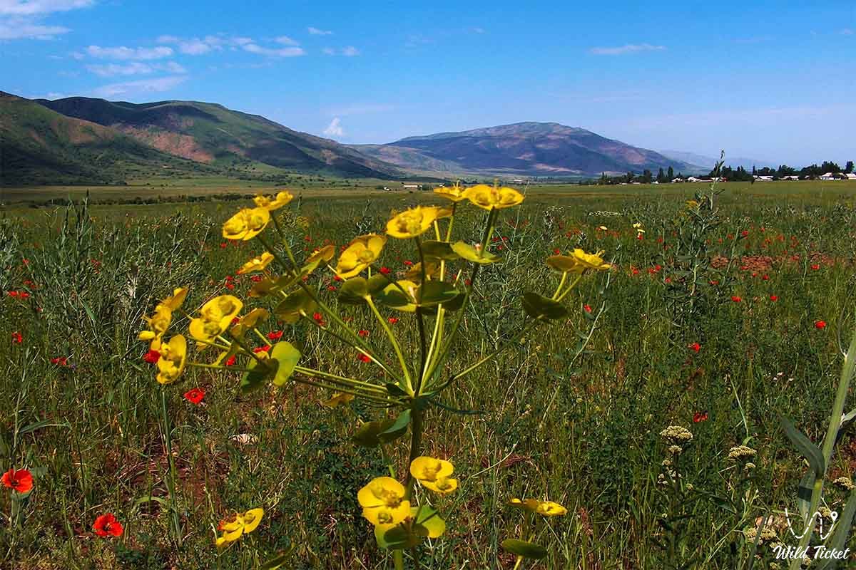
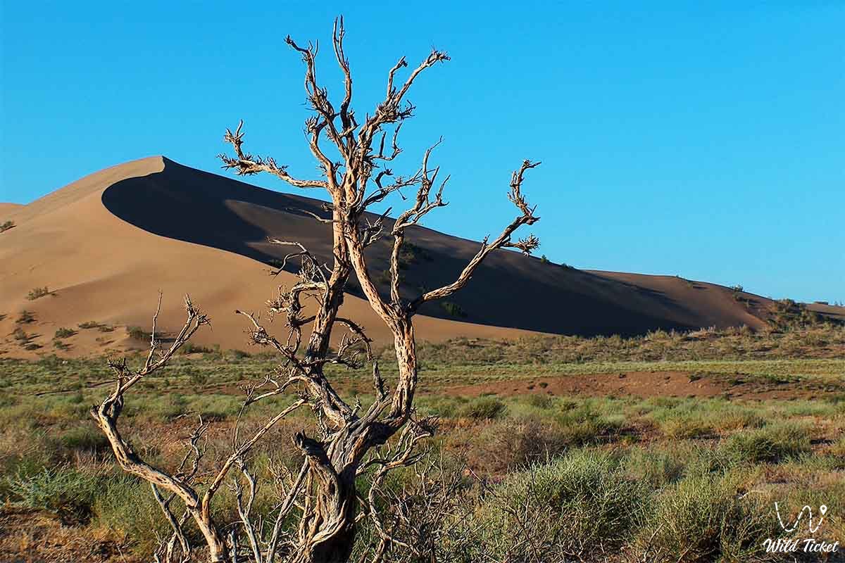
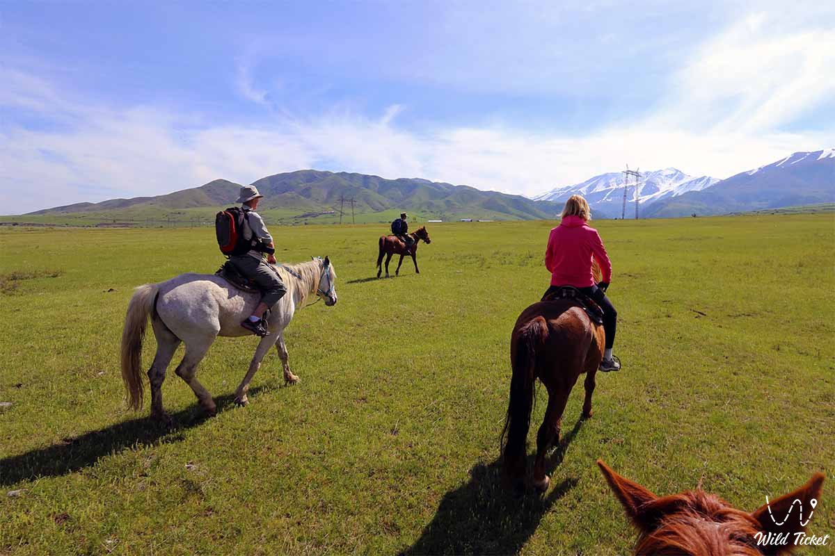
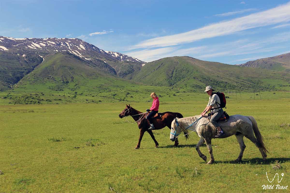
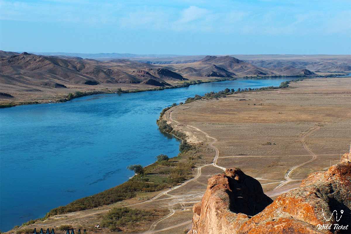
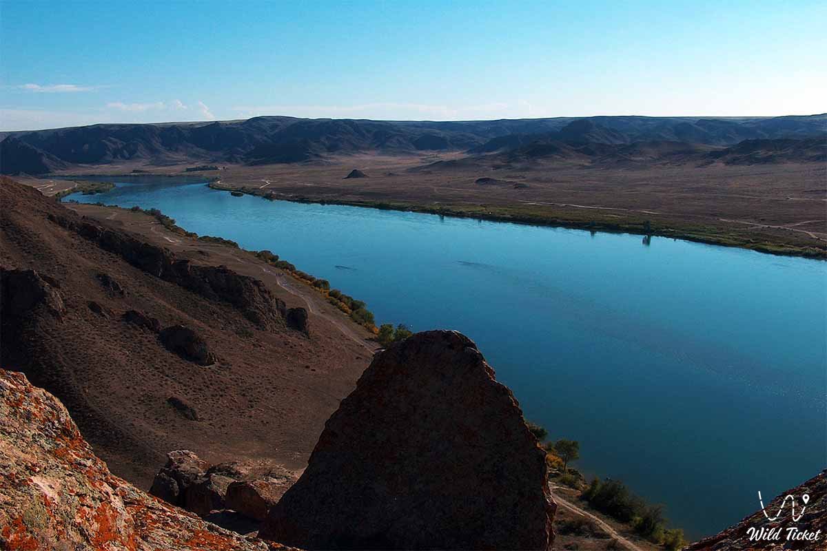
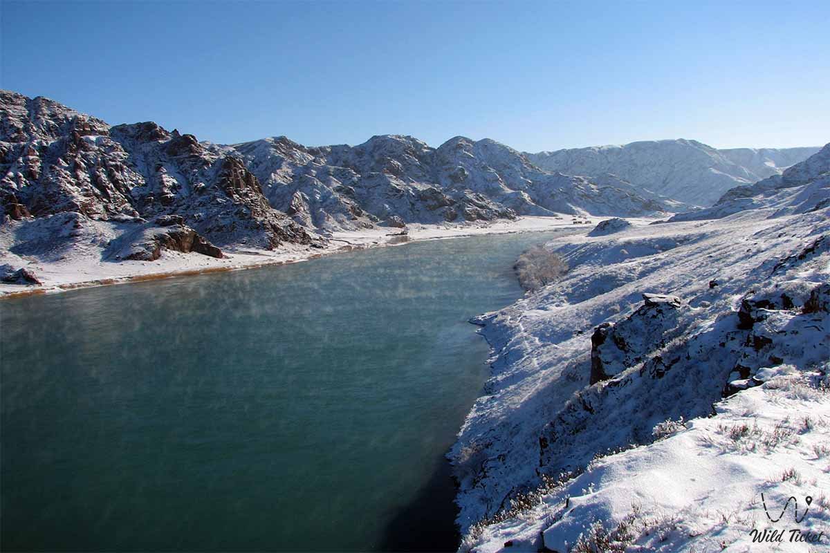
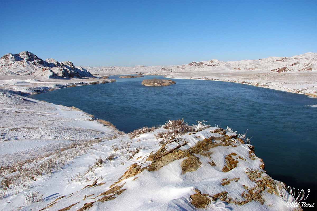
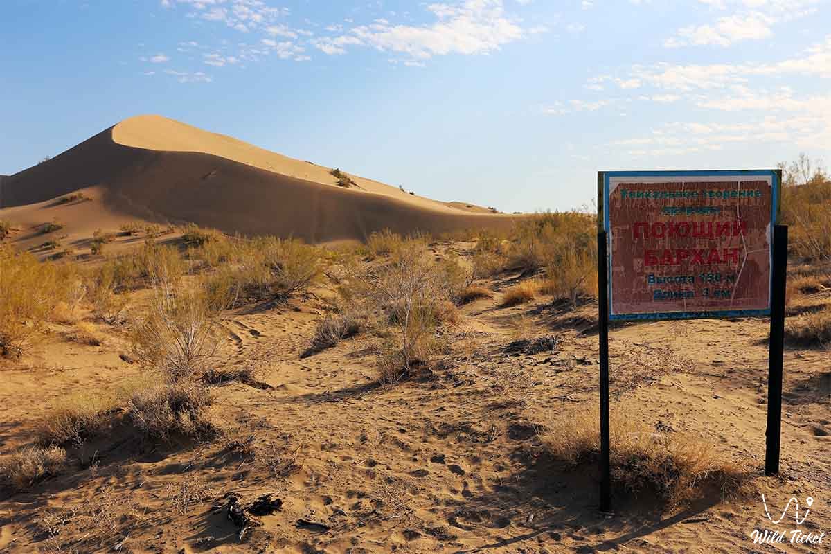
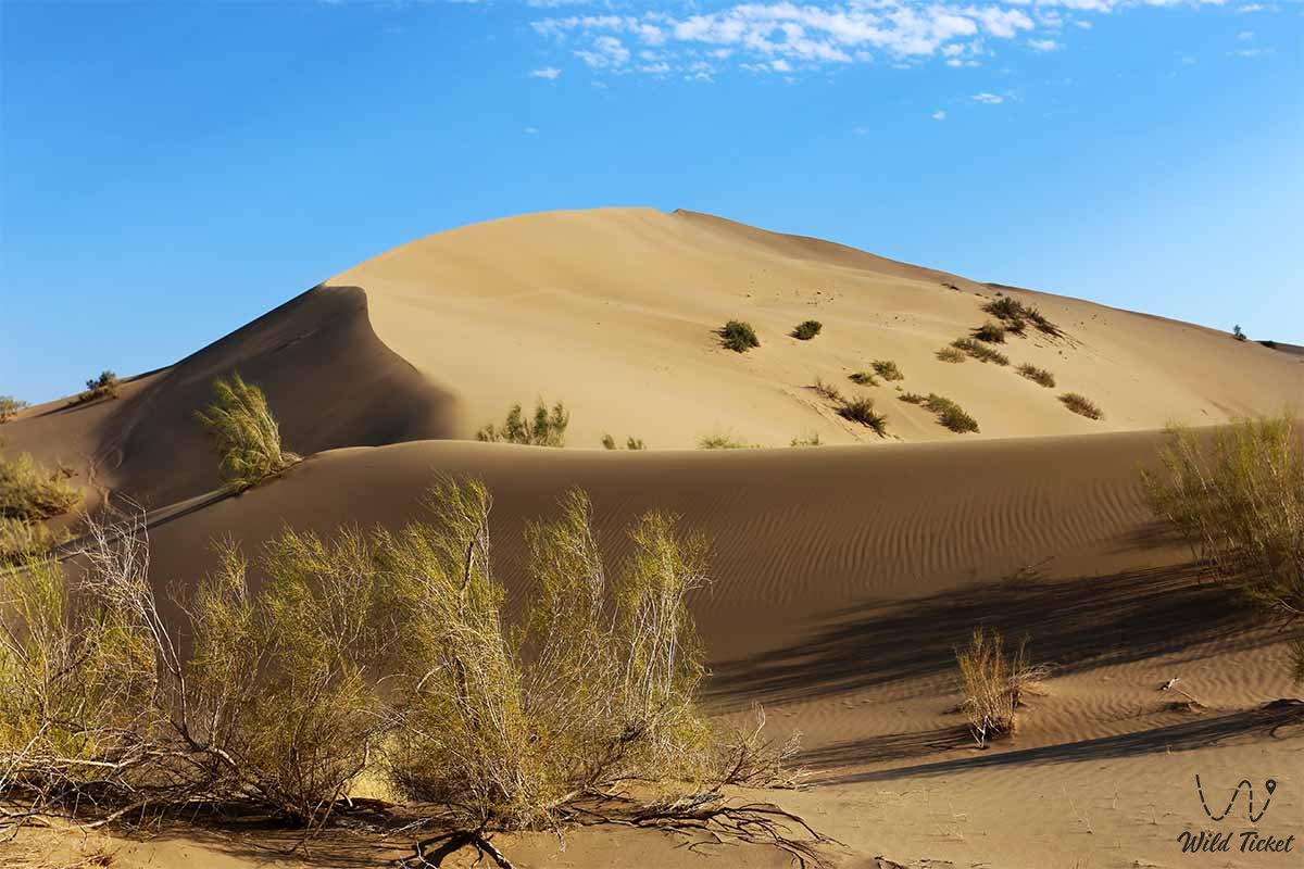
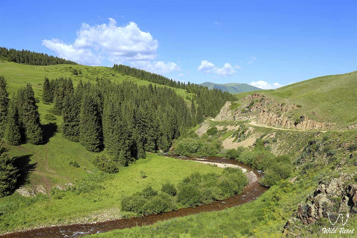
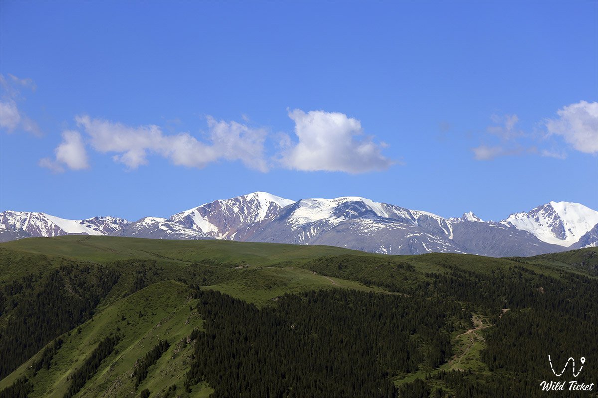
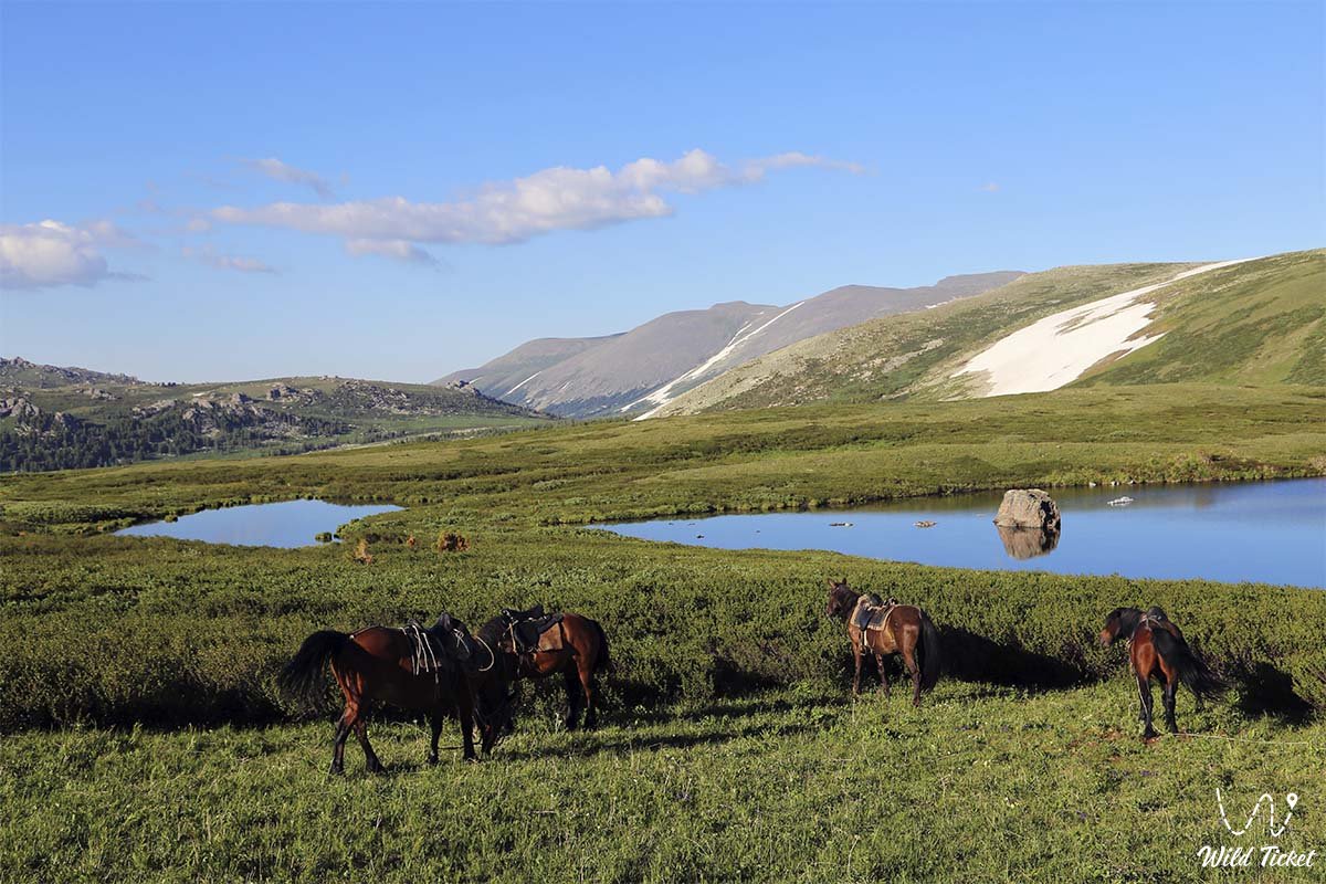
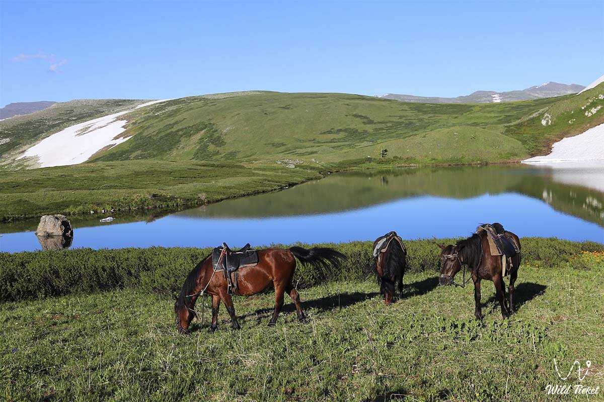
Фотогалерея: