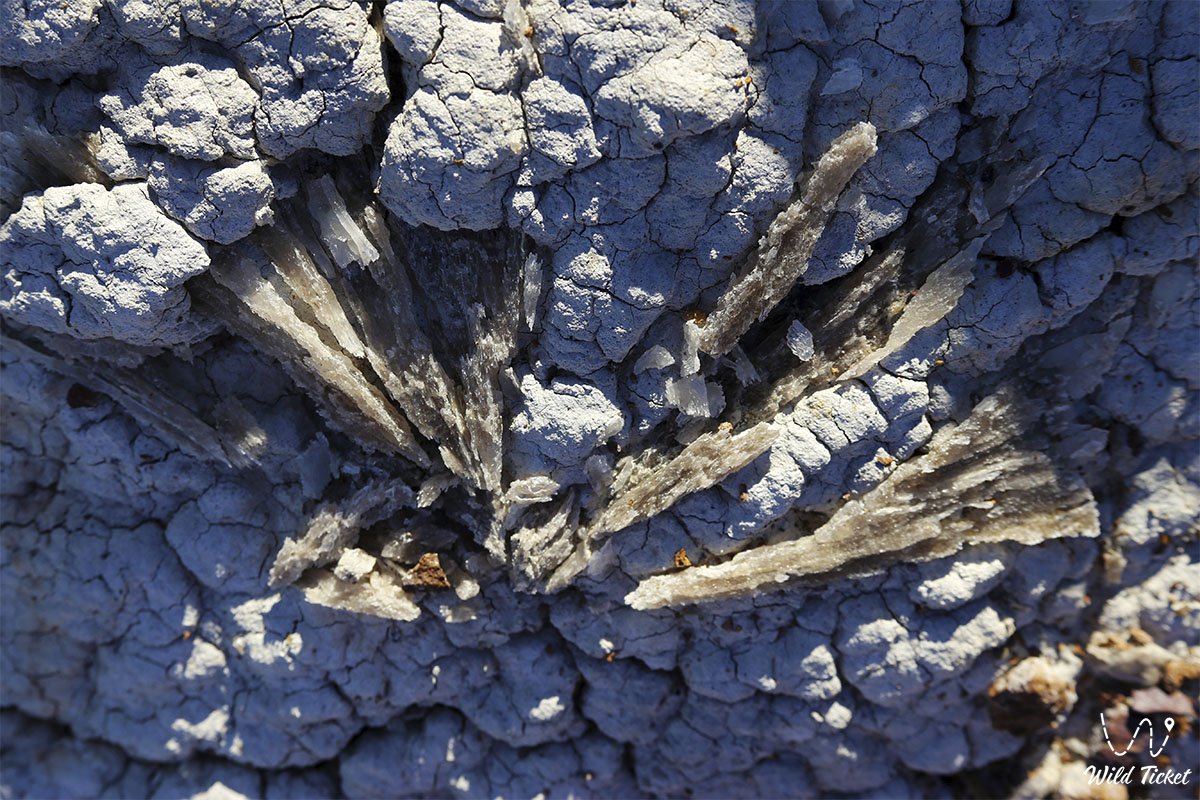
Rainbow labyrinth of Jurassic clays, a time tunnel to the age of dinosaurs, and an ancient burnt forest –
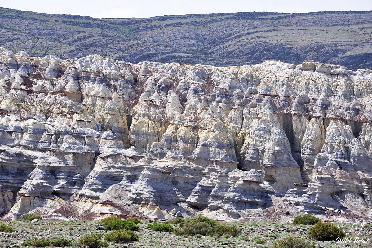
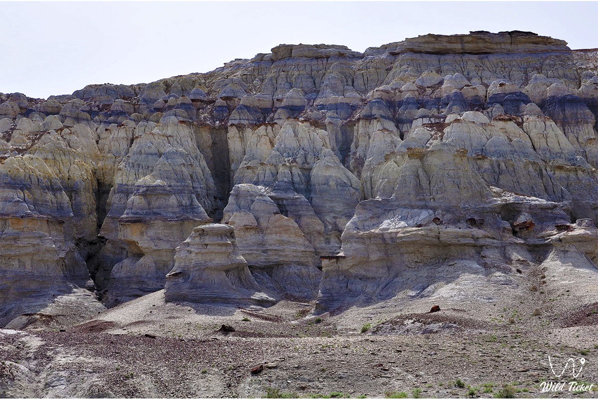
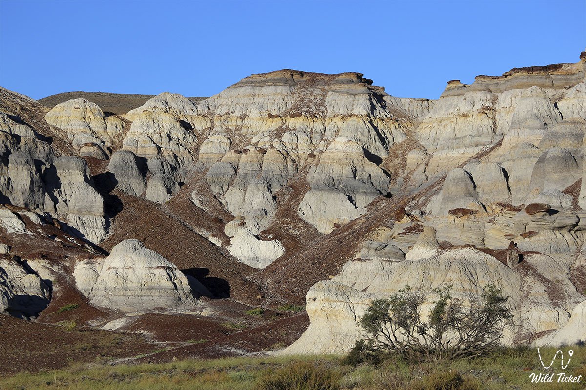
The Kokala Tract (Kaz. Kogala, translated as "blue-variegated," also transcribed as Kok-kala – "Blue Fortress") represents an outstanding paleontological and geomorphological natural monument, a fantastical badland, and an erosional clay canyon located in the Mangystau region.
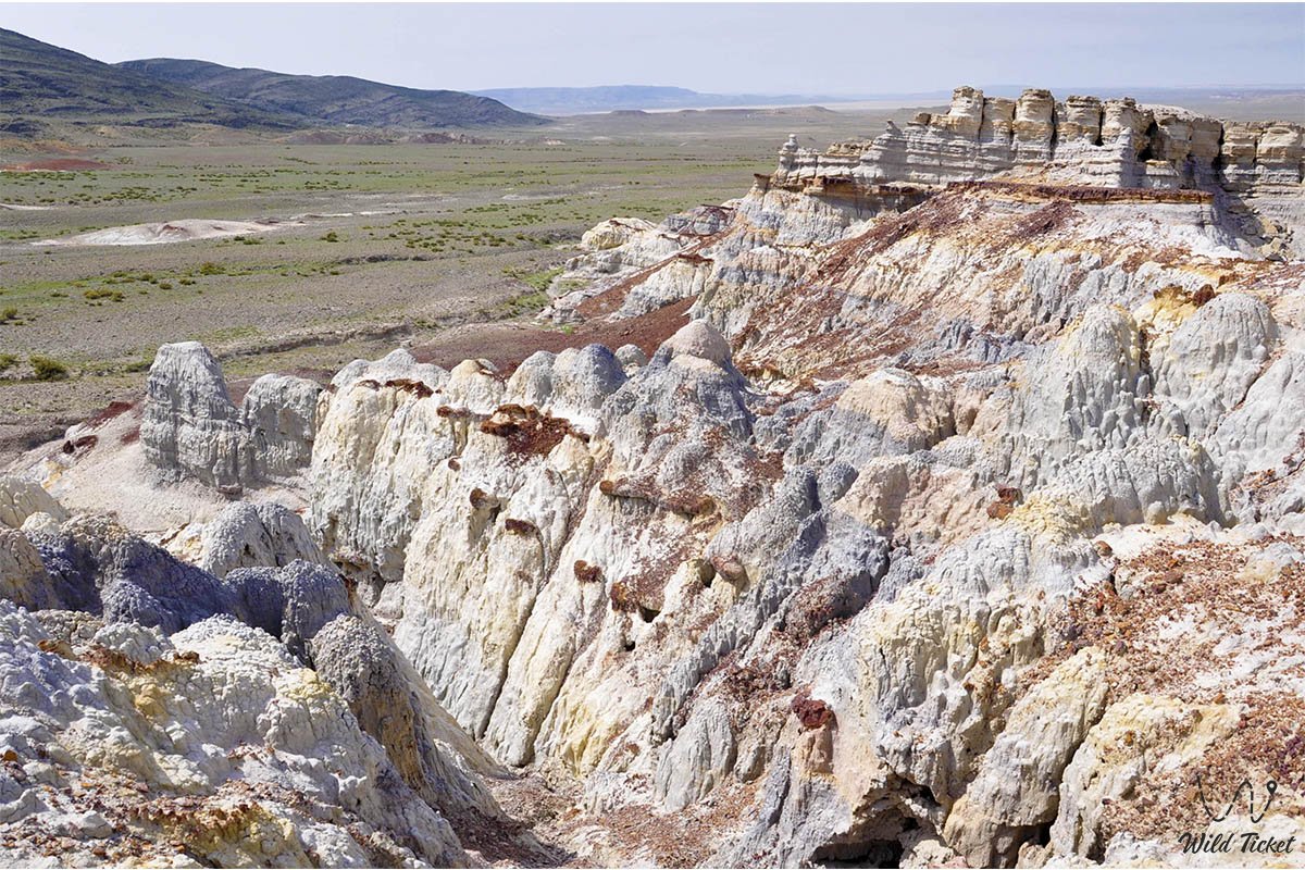
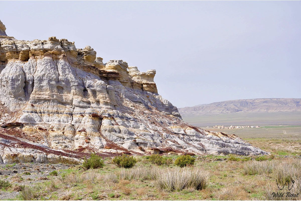
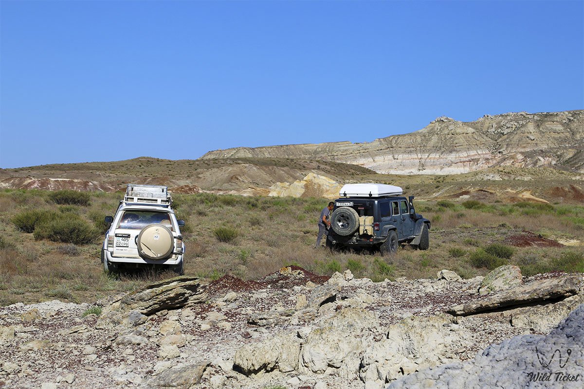
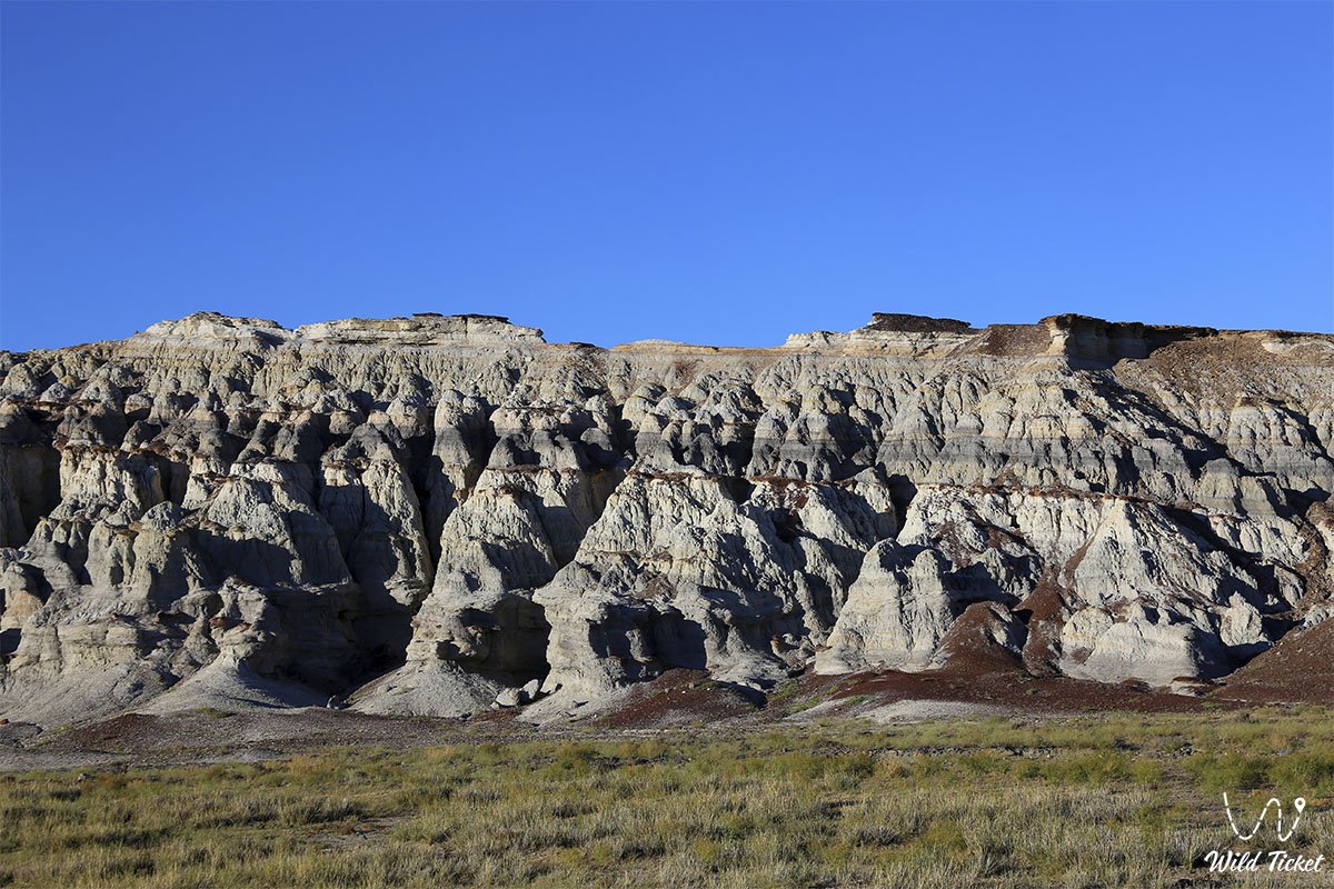
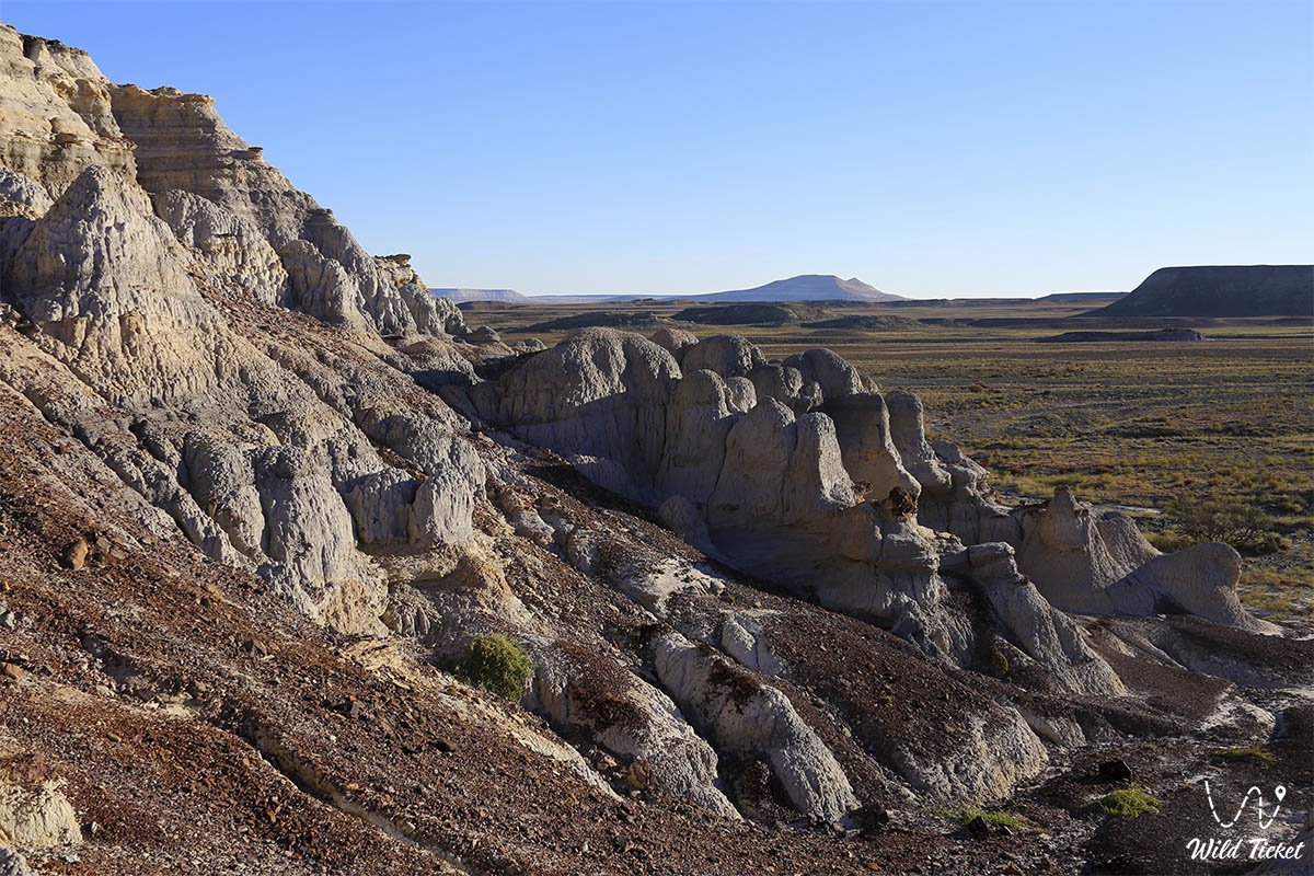
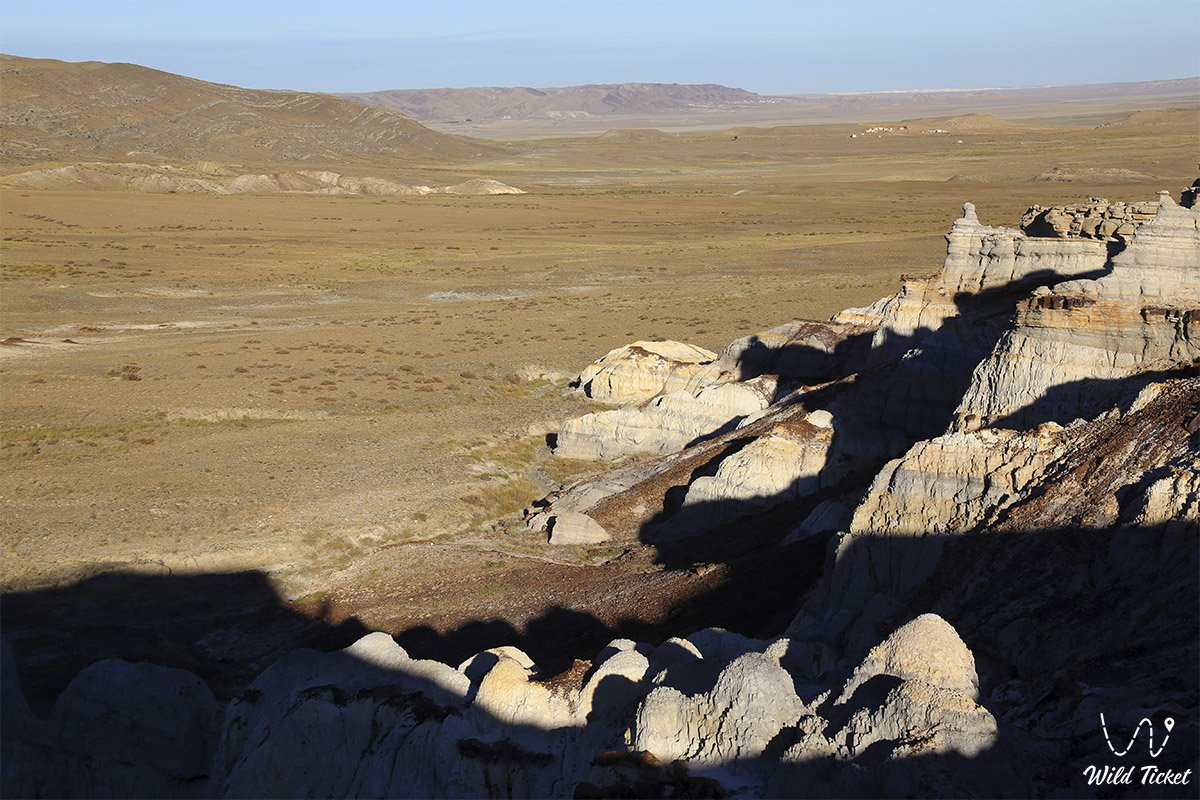
The natural complex sprawls within an intermontane basin between two ridges: the northwestern part of the Western Karatau range and the central-eastern part of the Northern Aktau ridge. Against the backdrop of the monotonous brownish and stony massifs of the Mangyshlak upland, the tract stands out vividly as a bright light patch with a whimsical stratified palette.
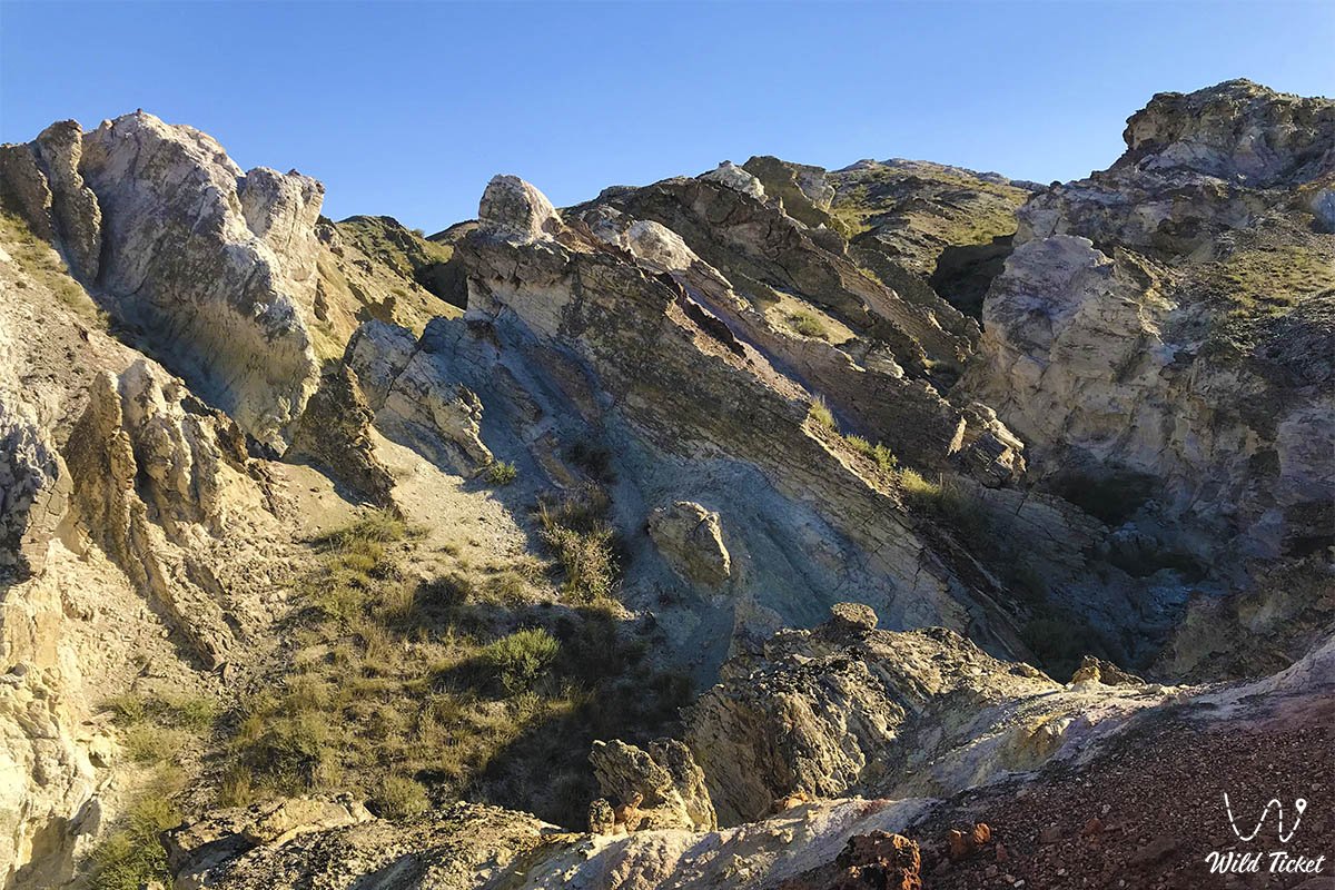
The origin of Kokala's colored clay formations is unique to the region: while most natural monuments of Mangystau evolved on the seafloor of the ancient Tethys Ocean, the Kokala massif was formed on land. A powerful ancient tectonic uplift along the Karatau fold buckled and forced upward, along the margin of a deep fault, continental strata of prehistoric land that had long been buried beneath oceanic sediments. The outcrops exposed Jurassic sedimentary strata dating back 170 to 200 million years.
On expedition itineraries across Central Mangyshlak, the Kokala tract is an essential part of the unified sightseeing loop. En route here, travelers invariably pass the solitary sacred residual mountain Sherkala ("Lion's Fortress"), the relict garden of the Akmysh oasis, the excavated ruins of the medieval trade town of Kyzylkala, the shaded rocky Samal Gorge, and the snow-white towers of the Airakty – Shomanay Valley of Castles. Also not far from the tract is the sacred Mount Otpan-Tau, atop which sits the famous Otpan Tau Historical and Cultural Complex.
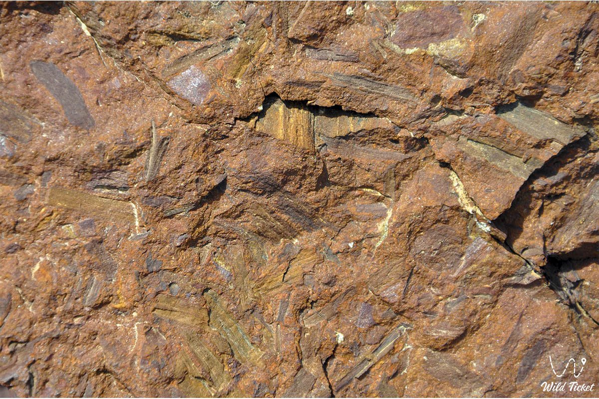
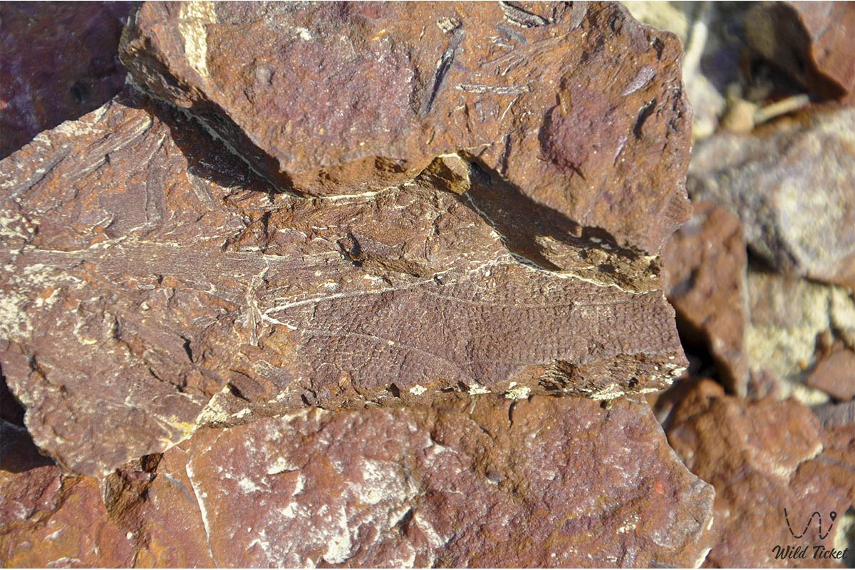
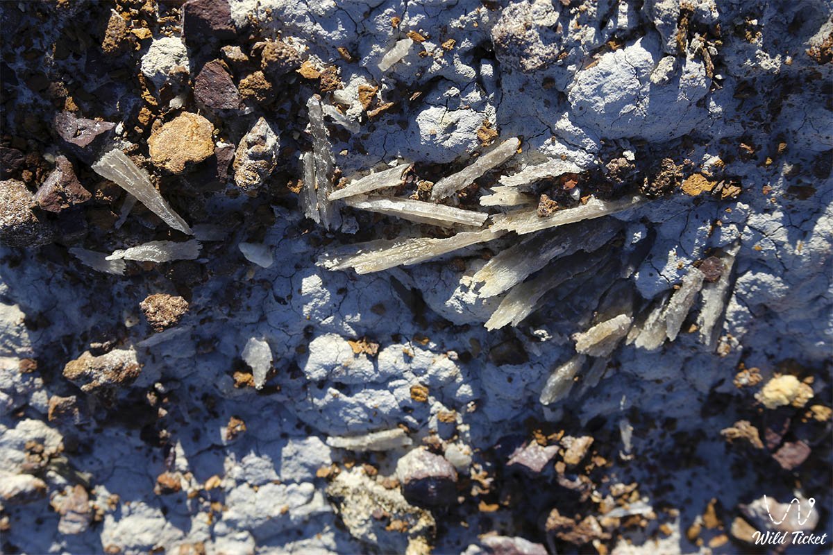
The primary value of Kokala lies in its role as a "time tunnel" to the age of dinosaurs. Although giant reptile skeletons have not yet been discovered here, the clay layers preserve authentic paleobotanical evidence of prehistoric flora: strata of fossilized charcoal from vast wildfires, charred trunks, roots, and distinct leaf imprints from Jurassic forests through which dinosaurs once roamed.
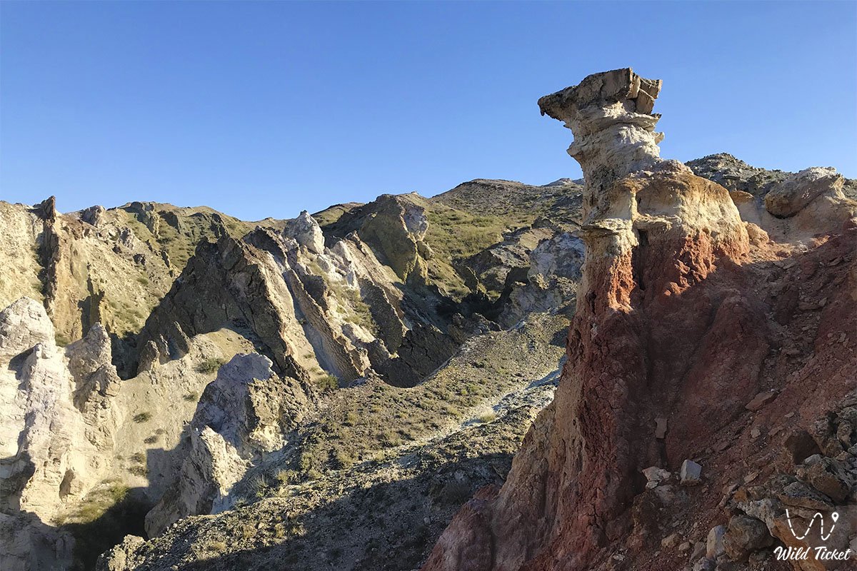
Water, sun, and gale-force winds have carved a surreal "fantasy landscape" of pyramids, mushrooms, pillars, and miniature canyons from the pliable clays. Hidden near the tract is the narrow Karadairmen Gorge with fresh spring water welling from deep fault lines, which historically served as an encampment for nomads and caravans.
Today, the Kokala tract attracts geologists, researchers, road-trippers, and landscape photography enthusiasts, offering a rare opportunity to touch organic traces of the Mesozoic era.
--------------------------------------------
How to get there and visit –
The Kokala tract is situated in the Mangystau district, 5.3–6 km east of the village of Shayyr, 6.5 km southwest of Mount Zhalgan (elevation 331.2 m above sea level), 9.5–10 km west of Mount Sherkala and the Akmysh Say tract, and roughly 20–25 km northwest of the settlement of Shetpe. The distance from the city of Aktau is about 90 km in a straight line and roughly 190–200 km via motorways (driving time takes 2.5–3 hours).
GPS geographical coordinates of the Kokala tract:
44°14'42"N 51°53'14"E
The primary route from Aktau leads northeast along the paved A-33 highway of republican significance Aktau – Shetpe – Beyneu. Upon reaching the turnoff for the settlement of Shetpe, take the regional paved road Shetpe – Shayyr. Before reaching the village of Shayyr, a well-worn unpaved dirt road branches east from the motorway for about 3 km, leading straight to the mouth of the colorful clay canyon. The tract is also convenient to access in conjunction with the Torysh concretion valley or after visiting Mount Sherkala.
In dry weather, driving to the base of the massif is feasible in a crossover or a carefully driven passenger car. However, for confident navigation across dusty steppe tracks, negotiating ravines, and circular expedition routes, a dependable four-wheel-drive vehicle (4x4) with high clearance is strongly recommended. During precipitation, the dry Jurassic clays quickly turn into a slick, sticky mud, making wheeled travel exceedingly difficult.
Tourist infrastructure within the tract itself is completely wild. Drinking water reserves can be replenished from the natural spring in neighboring Karadairmen Gorge; nevertheless, carrying a bottled water supply (calculated at no less than 3–4 liters per person per day) is essential.
For comfortable overnight lodging in traditional yurts, hot showers, and meals, travelers can use the Kogez ethno-village located near Sherkala. The nearest gas stations, shops, pharmacies, and tire repair services operate in the settlement of Shetpe and the village of Shayyr.
For walking across the dissected ravines and ascending clay peaks, comfortable footwear with reliable tread is required. The rock is soft and friable; therefore, when climbing narrow ridges, caution should be observed to avoid crumbling edges.
The best time to visit is spring (from late April through May), when the steppe around the tract is blanketed in emerald grass and tulips, as well as the warm autumn (September – October). During summer months, heat on the clay slopes climbs above +40 °C; exploring the tract is therefore best done in the early morning or at sunset, when low, oblique rays of the setting sun emphasize the multicolored stratification of the cliffs.
--------------------------------------------
History
The history of the Kokala tract spans roughly 170–200 million years, reaching back into the Jurassic period of the Mesozoic era. At that time, the territory of modern Western Kazakhstan was a warm subtropical landmass washed by bays and lagoons. Dense forests of ancient conifers, tree ferns, cycads, and relict ginkgoes flourished here, under whose canopy prehistoric reptiles lived. Periodic sweeping wildfires ravaged these woodlands, leaving charred trunks and branches preserved in an oxygen-deprived environment of swamp and lagoonal sediments.
Later, tectonic subsidence submerged the land beneath oceanic sediments of the Tethys Sea. A powerful uplift of the Karatau mountain range, triggered by deep faulting in the Earth's crust, buckled the strata and exposed ancient sedimentary deposits. Over millions of years, water and wind erosion stripped away the overlying limestone capping, unveiling the brilliant stratification of the Jurassic epoch.
The name "Kogala" in Kazakh folk tradition denotes a bluish-variegated palette (similar to the expression "kokala qoyday sabau" – to become bruised). Local residents noticed that the clays take on bluish, lilac, and greenish hues after rare rains or under specific angles of sunlight.
The alternative form of the name, "Kok-kala" ("Blue Fortress"), arose from the resemblance of stepped ledges to defensive fortifications.
Near the tract lies the narrow Karadairmen Gorge with fresh spring water. Across a waterless plateau, this spring served a vital role for centuries: nomadic migration routes passed along it, seasonal pastures were set up, and caravans along the northern branch of the Great Silk Road traveling from the Kyzylkala fortress toward the Caspian Sea made halts here.
In the 19th century, stratified clay outcrops were documented by geologists and members of the Karatau expeditions, and in modern times the tract has become an essential stop for scientific and educational expeditions across Mangystau.
Information
Geomorphologically, the Kokala tract is an erosional clay badland exposed in an intermontane depression between Karatau and Northern Aktau. The elevation of neighboring Mount Zhalgan is 331.2 meters above sea level, while the tract itself is carved by deep ravines with elevation drops ranging from 10 to 35 meters.
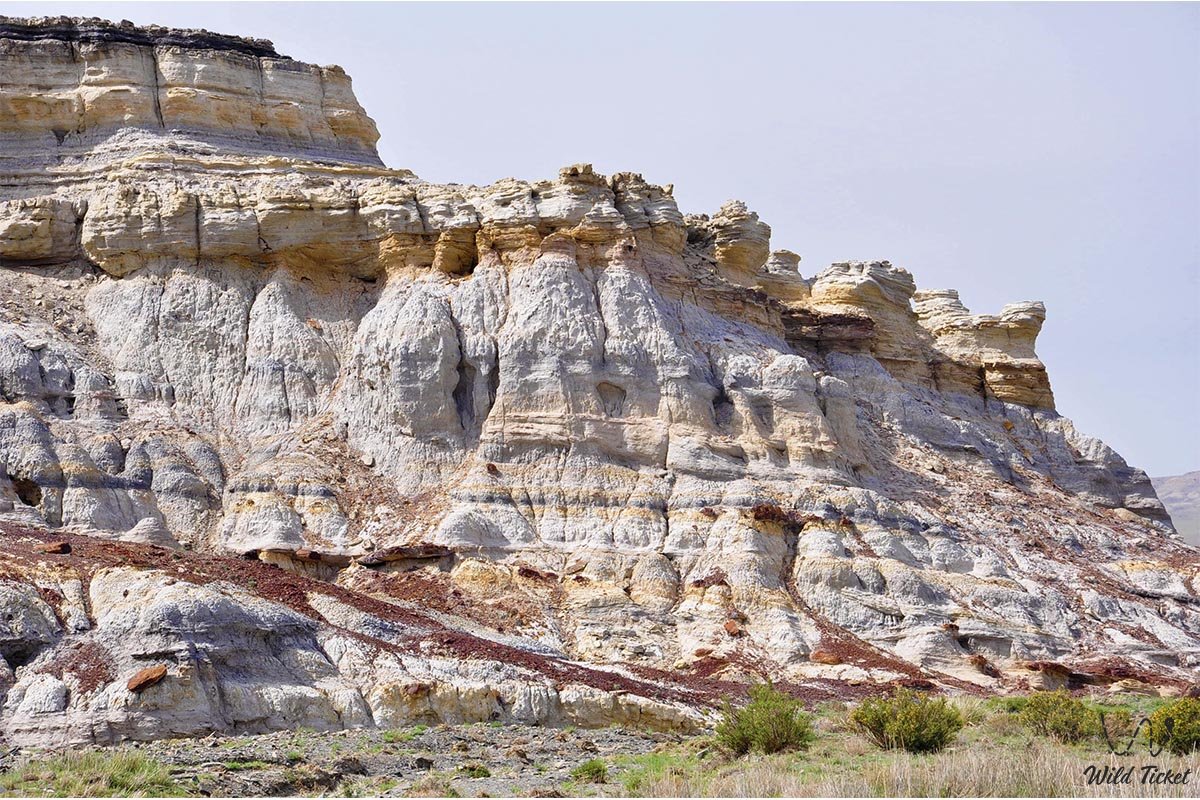
The geological cross-section is composed of rhythmic interbedding of continental deposits of the Jurassic period (170–200 million years ago):
1. Ochre-red and lilac mudstones and siltstones – dense clays enriched with iron oxides of various oxidation states and manganese compounds.
2. Gray-blue and yellowish-green clay beds – the layers that gave the locality its name, containing glauconite minerals and carbonates.
3. Whitish calcareous and marly interbeds – light-colored carbonate lenses.
4. Carbonaceous beds and lignites – dark horizontal interlayers of ancient charcoal.
Valuable paleobotanical remains have been preserved within Kokala's strata: fragments of ancient wood tissues, sections of charred roots, lignites, and leaf imprints of Jurassic vegetation.
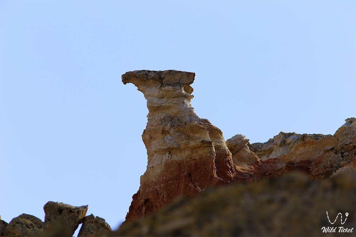
Uneven weathering and water erosion have shaped a whimsical "fantasy landscape" here: conical clay hills, mushroom-like projections, pillar-shaped columns, tented pyramids, and miniature canyons with carved flanks.
The hydrological regime is sustained by the springs of Karadairmen Gorge. Fed by deep aquifers rising along tectonic fault lines of Karatau, they provide a reliable source of fresh water.
The climate of the area is sharply continental desert. In summer, the clay massifs heat up intensely, creating a dry microclimate with temperatures exceeding +40 °C, while cold winds sweep through in winter.
Detailed description of the venue
The natural complex of Kokala's colored clay formations includes the following landscape and geological sectors:
• Rainbow badland of colored clays – the central massif of the tract with stratified slopes tinted in ochre-red, gray-blue, lilac, yellowish-green, and whitish tones.
• Labyrinth of miniature canyons – winding erosional fissures and narrow steep-sided gullies carved through the Jurassic strata by torrential storm runoffs.
• Strata of prehistoric charcoal – dark coalified horizons 170–200 million years old preserving evidence of ancient forest fires, charred branches, and Mesozoic plant tissues.
• Sculpted clay outliers – whimsical weathering forms creating ensembles of columns, mushroom rocks, conical pyramids, and rounded mounds.
• Karadairmen spring gorge – a narrow rocky defile featuring a flowing source of pure fresh water fed through deep tectonic faults.
• Panoramic terraces above the canyon – upper viewpoints opening onto a circular panorama of the variegated Kokala basin, Mount Zhalgan, and the Sherkala massif.
Flora and fauna
The vegetation cover of the Kokala tract is strictly demarcated by soil types. On loose clay slopes, plant life is virtually absent due to erosion and mineralization. Across the surrounding gravel plains, semi-desert xerophytic communities dominate: gray-soil wormwood, Lerche's wormwood, biyurgun, boyalych, eastern saltwort, and spiny dzhantak (camelthorn). In late April and May, the surrounding steppe comes alive: wild Sogdian tulips, two-flowered tulips, steppe irises, and small ephemerals bloom.
Near the brook in Karadairmen Gorge, oasis flora develops: thickets of tamarisk, wild rose, willow, reed, and field mint.
The fauna is represented by denizens of the Karatau and Northern Aktau foothills. Birds find refuge on rocky ledges and in ravines: desert wheatears, Asian desert finches, hoopoes, European rollers, and chukar partridges. Raptors hunting overhead include the steppe eagle, long-legged buzzard, saker falcon, and kestrel.
Among mammals inhabiting the area are the tolai hare, corsac fox, steppe polecat, long-eared hedgehog, badger, and colonies of gerbils. Endangered Ustyurt mountain sheep (mouflons) are occasionally spotted on the steep crags of Karatau. Wolves and jackals visit the springs at night to drink. Herds of horses and camels graze across the valleys.
The herpetofauna includes the agile steppe agama, toad-headed agama, dione snake, arrow snake, Central Asian tortoise, and the venomous Halys pit viper. Solifuges and scorpions dwell in rock and clay crevices.
Legend
An ancient steppe legend regarding a slumbering fire-breathing dragon and the tears of a spring is associated with the origin of Kokala's colorful cliffs.
Tradition tells that during the times when giant reptiles roamed the earth, a great dragon—ruler of subterranean fire—inhabited the boundless moist forests. He vigilantly guarded the tranquility of the ancient woods. One day, a fiery arrow fell from the heavens, sparking a massive fire that consumed the relict forest.
Striving to save his realm, the dragon shielded the smoldering embers with his body and sank into a centuries-long slumber beneath layers of earth. Millions of years passed; the great ocean covered the land, and later the Karatau Mountains rose. A tectonic rift split the ground, and rays of sunlight once again touched the ancient lair. Over long epochs, the dragon's body petrified into banded colored clays: his scales became gray-blue and greenish, the fire in his veins set into ochre-red and lilac beds, and the charred trees turned to eternal coal.
The spirits of the mountains took pity on the petrified giant and opened a life-giving spring in neighboring Karadairmen Gorge, washing his base with cool water. Since then, people believe: anyone who respectfully touches the multicolored cliffs of Kokala and drinks water from the gorge will gain the strength of the ancient earth and clarity of mind.
Conclusion
The Kokala tract is a vivid paleontological monument of Mangystau that exposes a rare continental record of the Mesozoic era. Walking through rainbow clay labyrinths, examining ancient charcoal from the age of dinosaurs, and visiting the pure spring in Karadairmen Gorge offer travelers an incomparable encounter with the geological chronicle of the Earth.
Interesting sights nearby:
• Ybykty Say Limestone Canyon (Kabyrga);
• Mount Sherkala Remnant Outlier;
• Valley of Castles Airakty;
• Torysh Valley of Spherical Concretions;
• Medieval Town of Kyzylkala;
• Akmysh Relict Spring Garden;
• Ustyurt Reserve;
• Karagiye-Karakol Nature Sanctuary;
• Caspian Sea;
• Lake Karakol;
• Karagiye Depression;
• Chalk Outliers "Three Brothers";
• Cape Tyub-Karagan;
• Khanga Baba Tract.
Sacred sights nearby:
• Khanga Baba Necropolis;
• Kenty-Baba Necropolis;
• Kolbas Ishan Mosque;
• Koben Mosque;
• Zholaskan Mosque;
• Zhaman Sauran Mosque;
• Ishan Khozha Mosque;
• Itolla Mosque;
• Sonabay Underground Mosque;
• Uytoly-Ata Underground Mosque;
• Sanctuary of Bayte.
Photogallery: