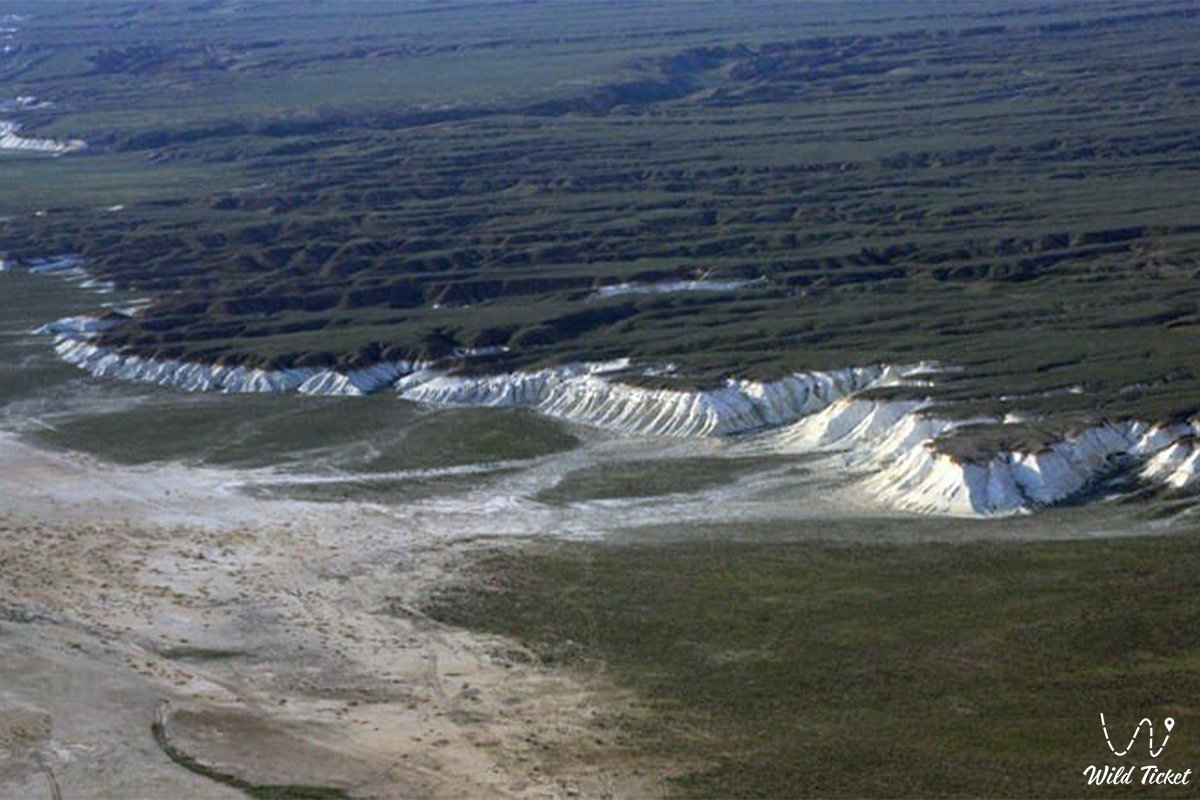
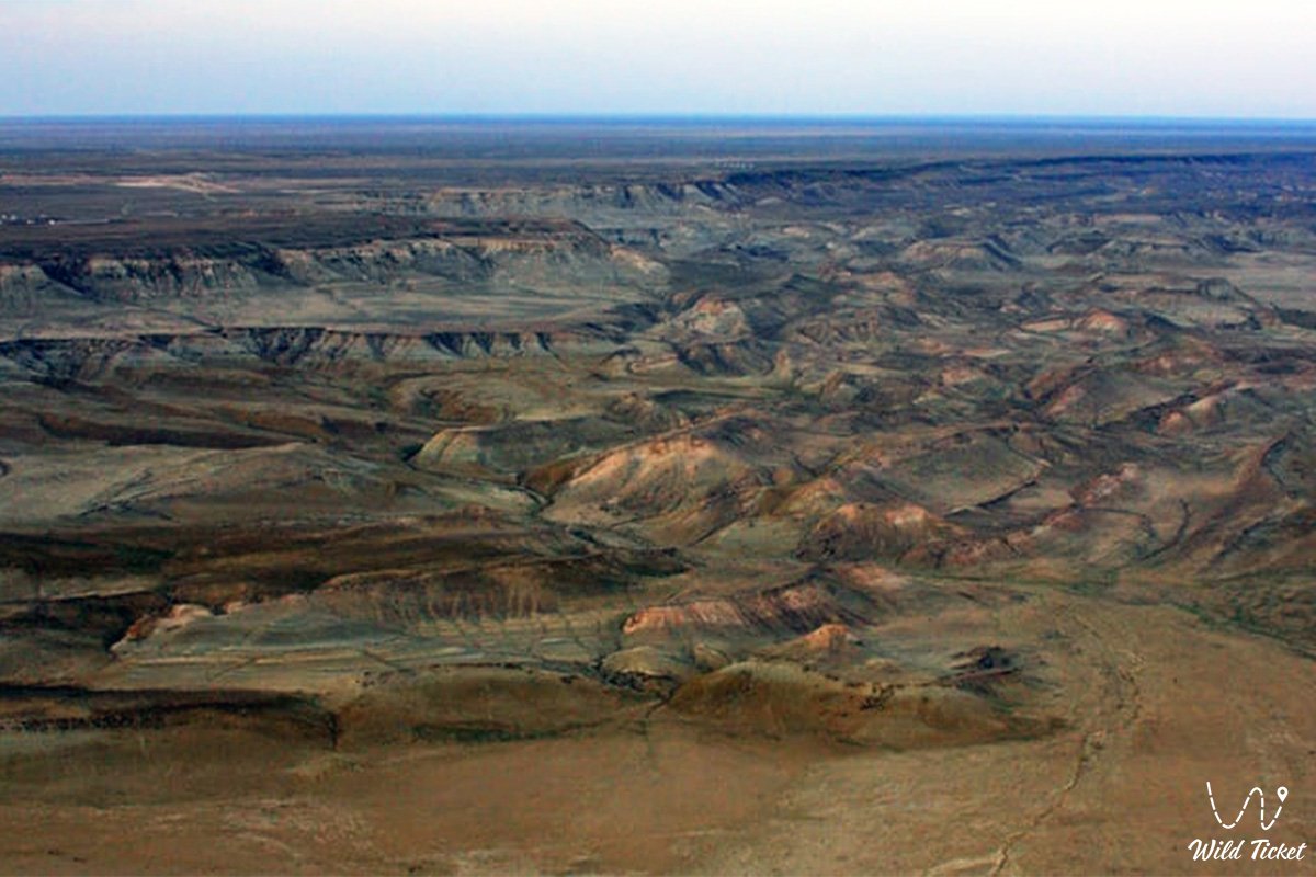
Grandiose 25-kilometer complex of relict depressions and conservation hub of Southern Mangyshlak –
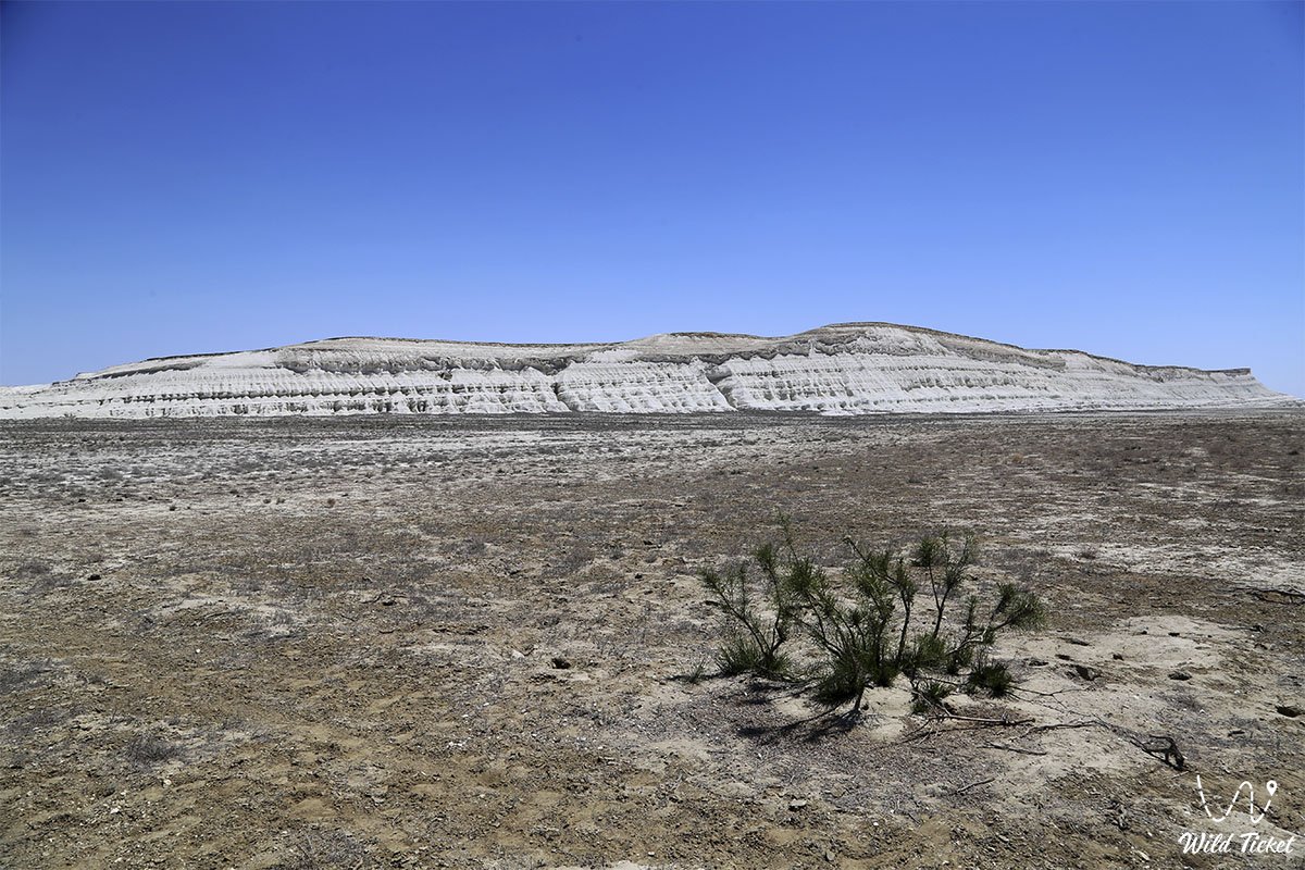
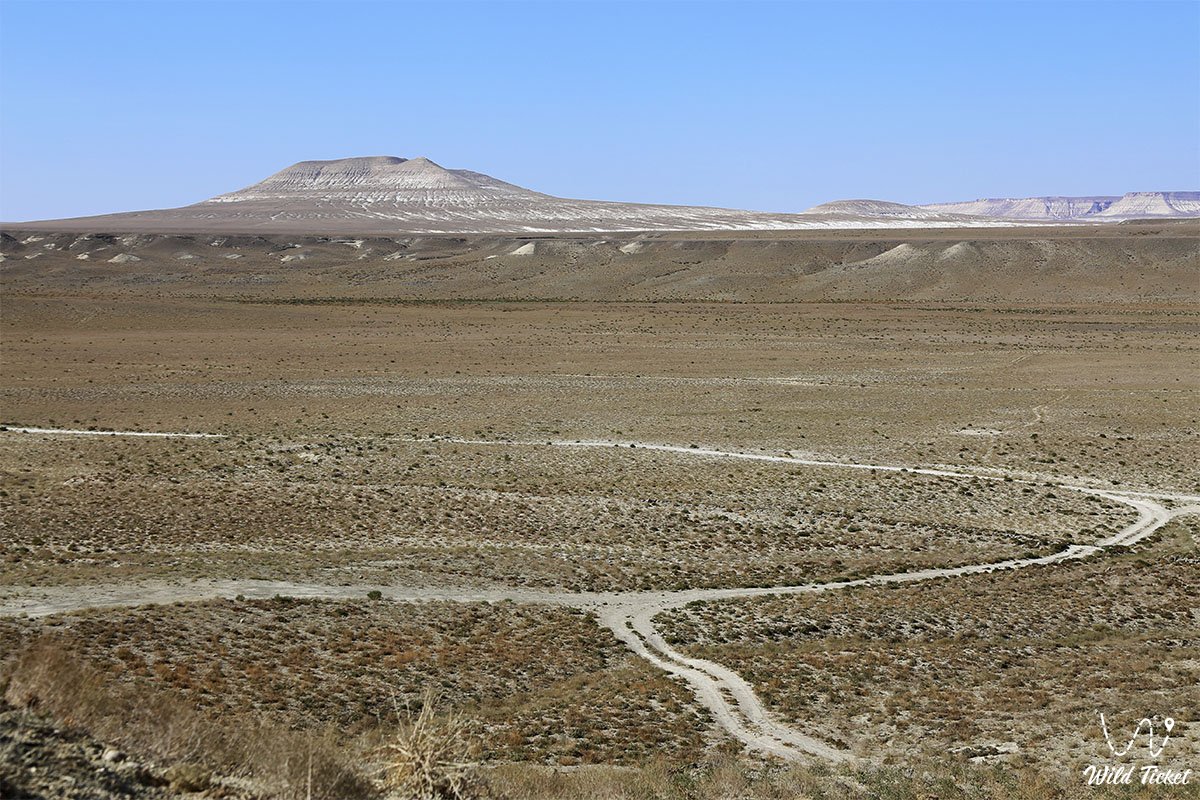
The Basgurly – Zhazgurly Depression System (Kaz. Basgurly – Zhasgurly oiystar zhuiesi) represents a large-scale geomorphological complex of paired endorheic basins, a relict tectonic-deflational hub, and an outstanding natural monument located in the Mangystau region. The unified depression structure stretches for more than 25 kilometers with a width of up to 14 kilometers across the Kenderli-Kayasan Plateau, uniting into an indivisible natural ensemble the southern Basgurly depression, the northern Zhazgurly depression, and the gentle saddle-isthmus separating them.
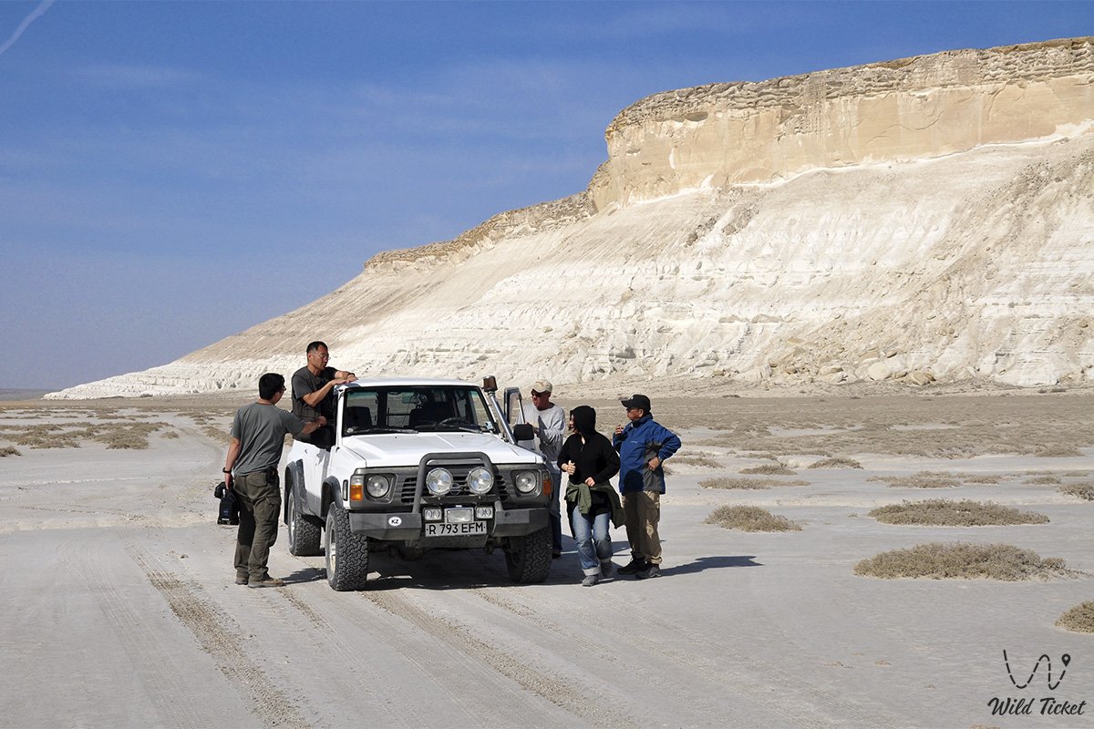
For self-drive travelers and participants in extended off-road 4x4 expeditions across Mangystau, this grandiose canyon labyrinth serves as a vital connecting link and logistics hub between the prime highlights of the region.
Just a few dozen kilometers to the east begin the cyclopean scarps of the Ustyurt Nature Reserve, the colossal 85-kilometer Karynzharyk depression with the legendary "Three Brothers" outliers, the shimmering mirror of the Kenderli salt flat, and the dark mountain and ridge of Karamaya.
To the west of the depressions lie the turquoise beaches and rocky coves of Kenderli Bay on the Caspian Sea, while to the north the route connects with the golden barchans of the Senek (Tuyesu) sands and the Martian vistas of the Bozzhira tract.
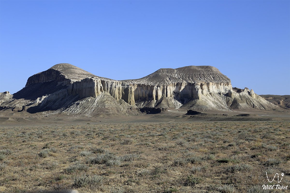
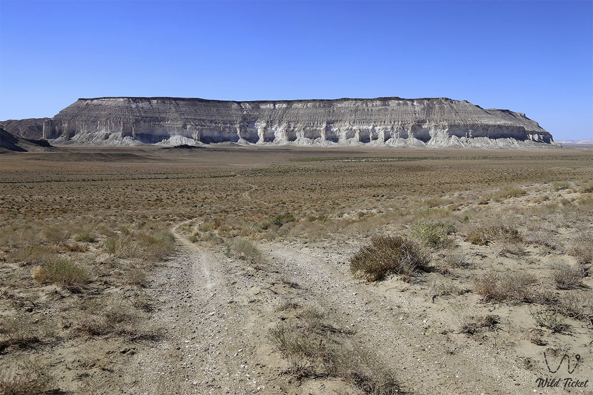
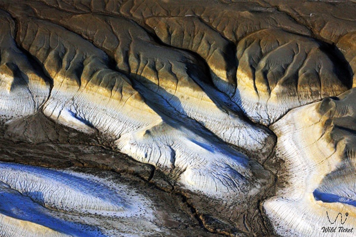
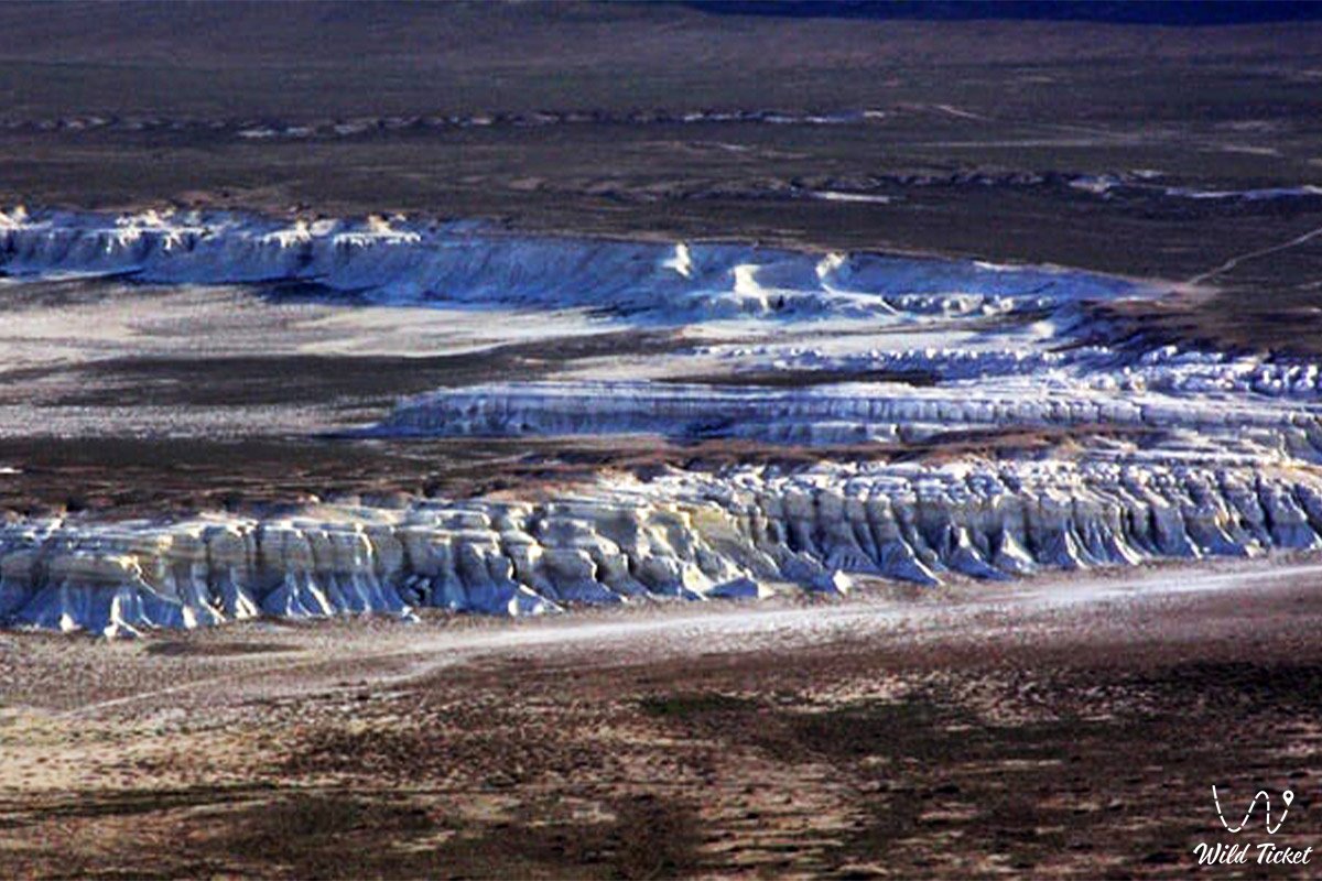
This entire immense depression is a direct geological witness to the retreat of the ancient Tethys Ocean and subsequent Cenozoic tectonic-climatic transformations. The complex formed during arid epochs over the past 5–6 million years (in post-Pontian times) as a result of salt weathering of bedrock carbonate strata, karst leaching of salts, and continuous wind deflation. Due to the massive removal of clastic material, the floors of both basins dropped below global sea level, creating severe salt-pan cauldrons framed by hundred-meter chinks composed of Sarmatian coquina limestone and white chalk.
Within the conservation framework of Southern Mangyshlak, the Basgurly – Zhazgurly depression system holds a central position within the boundaries of the Kenderli-Kayasan Nature Sanctuary. The enclosed basins serve as a crucial ecological refuge for arid biodiversity: herds of graceful goitered gazelles find shelter here from winds and severe winters, Ustyurt mountain sheep (mouflons / urials) navigate the inaccessible ledges of the chinks, and the surrounding open gravelly plateaus support primary nesting biotopes of the endangered MacQueen's bustard (houbara bustard, or zhek). In sheer rock precipices, raptors rear their broods – the saker falcon, golden eagle, and peregrine falcon.
Historically, this geomorphological crossroads served as a vital guide for nomadic clans of the Aday lineage and Silk Road caravans, where the gentle slope of the inter-depression saddle provided safe passage down to protected winter encampments (kystau) and deep freshwater watering wells.
Today, the Basgurly – Zhazgurly depression system is recognized as a strategic natural complex for off-road expedition tourism, paleontological studies, and geomorphological research, revealing to travelers a grandiose panorama of Kazakhstan's pristine wilderness.
--------------------------------------------
How to get there and visit –
The Basgurly – Zhazgurly depression system is located in the southern part of the Karakiyan district of the Mangystau region, across the expanses of the Kenderli-Kayasan Plateau, roughly 55–65 km south-southeast of the city of Zhanaozen, 50–52 km east of Kenderli Bay on the Caspian Sea, 20 km east of the endorheic Kauyndy depression, and 210–225 km southeast of the regional center of Aktau. Driving by vehicle from the city of Aktau takes about 4–4.5 hours.
GPS geographical coordinates of the central part of the system (inter-depression saddle area):
42°46'15"N 53°25'40"E
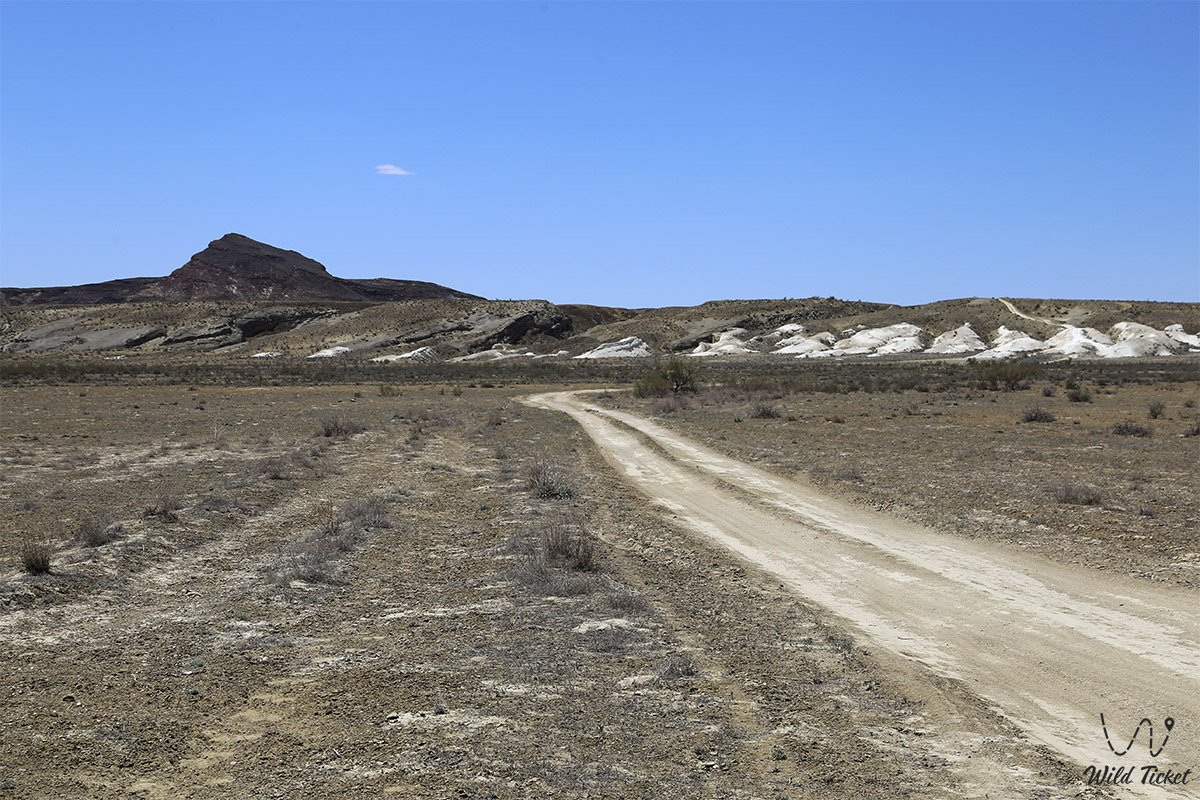
The main driving route from the city of Aktau leads southeast along the paved republican highway through the Karagiye depression to the city of Zhanaozen (about 150 km of high-quality motorway). From there, proceed south on asphalt through the settlement of Stary Uzen toward the settlement of Senek (about 60 km) or through the settlement of Bostan. Where the asphalt ends, an extensive network of unpaved gravel graders and stony-clay ruts begins, heading south across the Kenderli-Kayasan Plateau toward the northern rim of Zhazgurly and the central saddle of the complex.
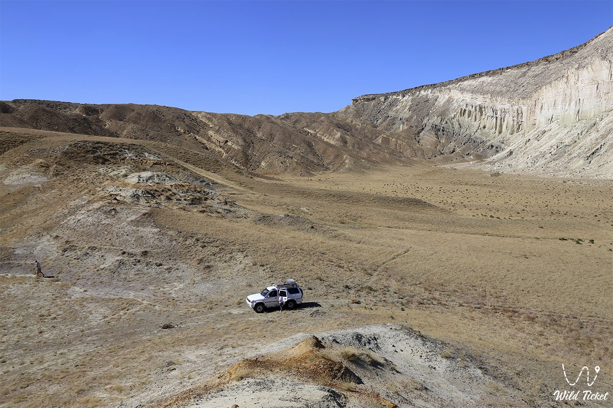
A journey across the system demands thorough self-sufficiency and vehicle preparation: travel is feasible exclusively in prepared body-on-frame 4x4 vehicles with high ground clearance, heavy-duty suspension, and reliable all-terrain tires (AT/MT). Sharp coquina scree on the plateau rims carries a high risk of tire cuts and punctures; every vehicle must be equipped with a functional air compressor, a tire repair kit, and at least two spare wheels. Traveling in a convoy of at least two vehicles is strongly advised.
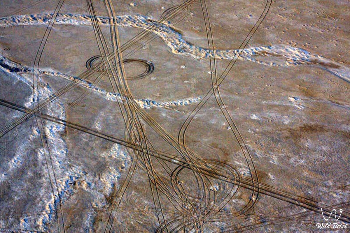
During rainy periods, clay sections of the approach tracks and the salt-crusted basin floors soften immediately into slick, bottomless mud, completely immobilizing wheeled transport. Driving vehicles down to the floor is possible only along the gentle ridges of the central saddle; driving directly onto the salt crust of the depressions is strictly prohibited.
The territory lies within the Kenderli-Kayasan Nature Sanctuary and is regularly patrolled by "Okhotzooprom" rangers. Driving off established tracks onto virgin terrain is strictly forbidden to protect fragile ground cover and prevent disturbance to Red Book-listed birds. Due to the proximity of the state border with Turkmenistan, every expedition participant must carry an original identity card or passport.
Infrastructure throughout the entire 25-kilometer complex is completely absent: cellular network coverage does not function. Across the surrounding areas there are only scattered pastoral wells with brackish water; no other water sources exist. The nearest network gas stations, tire repair shops, stores, and hospitals are located in the city of Zhanaozen, with small local supply points in the villages of Senek and Kulandy. Every vehicle crew must carry an autonomous drinking water supply (at least 5 liters per person per day), spare fuel in jerrycans, navigation devices with pre-downloaded offline satellite maps, and a satellite phone.
The best time to visit is spring (from mid-April to late May), when the surrounding steppe is blanketed in green and wild tulips bloom, with air temperatures comfortable for long overland drives, as well as early autumn (September – October). In July and August, the enclosed basins trap punishing heat exceeding +42...+45 °C accompanied by dry sand and dust storms.
--------------------------------------------
History
The geological history of the Basgurly – Zhazgurly system spans over 5–6 million years of continuous erosional and climatic transformation of the Mangyshlak plateau. The complex originated during arid post-Pontian epochs when, following the retreat of Neogene sea basins, limestone and clay strata were exposed to extreme temperature variations. Salt crystallization in micro-fissures fractured the bedrock, while hurricane-force winds swept away pulverized particles, sculpting two deep depressions separated by a ridge of denser carbonates.
In prehistoric times, this gigantic landscape hub with natural precipices and gentle descents served as an optimal hunting territory. Archaeological surveys along the perimeter of the system have recorded dozens of Neolithic and Bronze Age campsites: Stone Age hunters organized drives targeting wild kulans, saigas, and argali, utilizing the natural traps of sheer chinks and tracking game near rare watering springs.
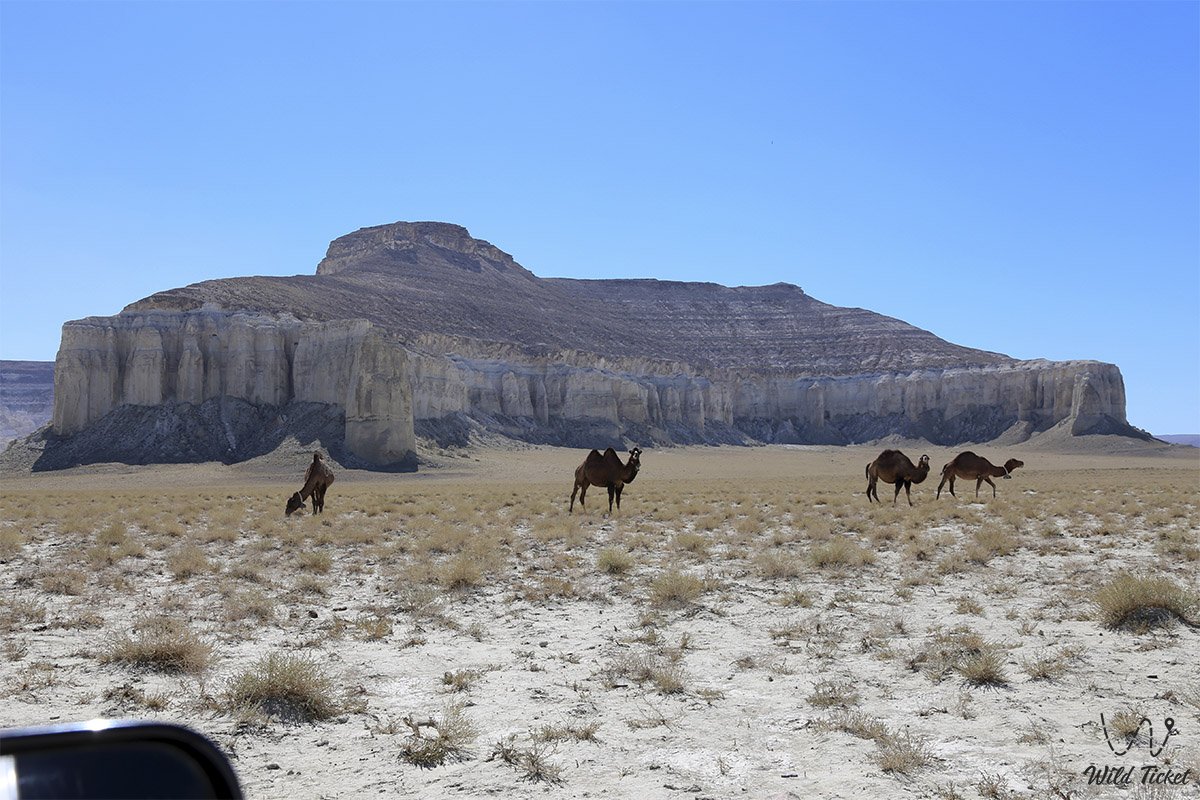
During the Middle Ages, caravan routes crossing the Kenderli-Kayasan upland connected Caspian ports with the oases of ancient Khwarazm. Merchants led camel caravans across the plateau, utilizing the gentle slope between the depressions for safe overnight halts in wind-sheltered gullies and for replenishing water supplies from deep wells.
Throughout the 18th to 20th centuries, the depression system served as a traditional seasonal wintering territory (kystau) for nomadic clans of the Aday lineage. High stepped chinks functioned as a formidable shield, sheltering flocks of sheep and herds of horses from severe winter blizzards and freezing northerly gales.
In 2001, the Basgurly – Zhazgurly system was officially incorporated into the newly established Kenderli-Kayasan State Nature Sanctuary of republican significance, acquiring status as an essential international reserve for the protection of the MacQueen's bustard and endangered ungulates of Central Asia.
Information
Geomorphologically, the territory represents an intricate paired denudation-deflation complex, elongated from southwest to northeast over a total distance of more than 25 kilometers, reaching a width of up to 14 kilometers in its central portion. The vertical elevation drop between the plateau surface (+120...+160 meters above sea level) and the basin floors reaches 100–140 meters, with the lowest points of both depressions dropping below global sea level.
The geological structure exposes a thick complex of Meso-Cenozoic marine sediments from the Upper Miocene (Sarmatian and Pontian regional stages). The cornices of the chinks consist of alternating dense oolitic coquina limestones, writing chalk, bedded marls, interbedded gypsum, and sandstones underlain by impermeable dense clays. Marine fossils of the ancient Tethys Ocean are found everywhere within the outcrops: cardiid bivalve shells, fossilized oyster valves, and elasmobranch shark teeth.
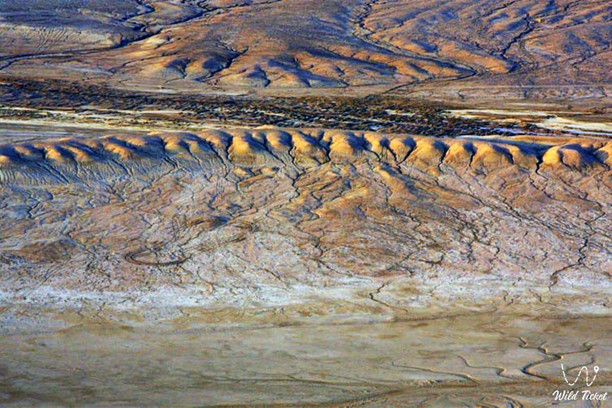
Soil cover across the floors of the depressions consists of crustal salt flats and polygonally cracked takyrs with high concentrations of sodium chloride and sulfate salts. Thin, gravelly gray-brown desert soils cover the terraces and plateau.
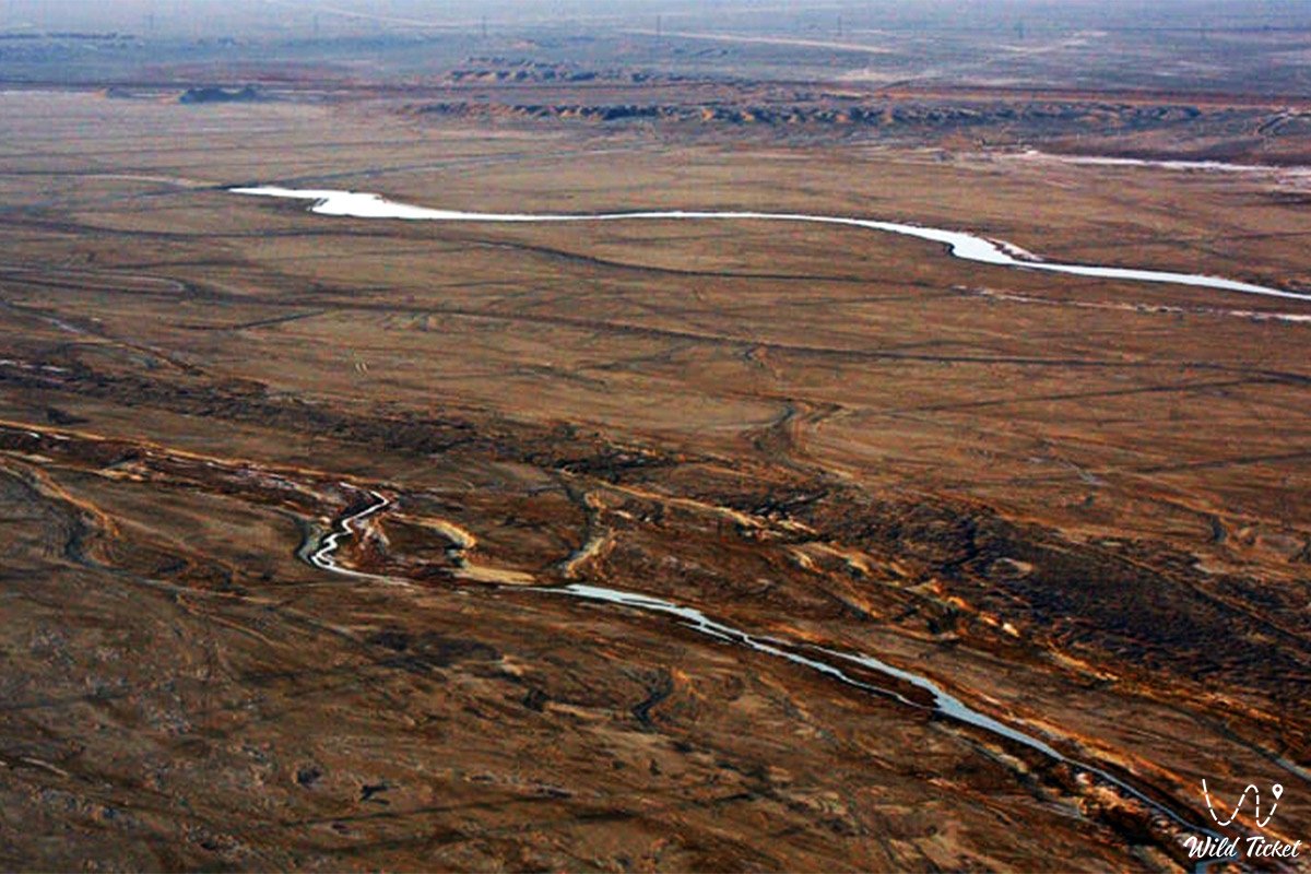
The hydrological regime is strictly episodic: permanent streams and freshwater bodies are completely absent. Surface runoff forms exclusively in spring during snowmelt and downpours, collecting on the basin floors as temporary shallow saline lakes. Water supply across the tract is limited to rare wells tapping fractured strata waters with mineralization ranging from 3 to 8 g/L.
The climate of the area is extremely arid and sharply continental. Average daytime July temperatures range between +34 and +38 °C (with salt flats heating up to +60 °C), while winter temperatures drop to -18...-22 °C under strong winds. Annual precipitation does not exceed 100–125 mm per year, with potential evaporation exceeding precipitation by 10 to 12 times.
Detailed description of the venue
The spatial-natural complex of the Basgurly – Zhazgurly system includes the following key landscape sectors and structural zones:
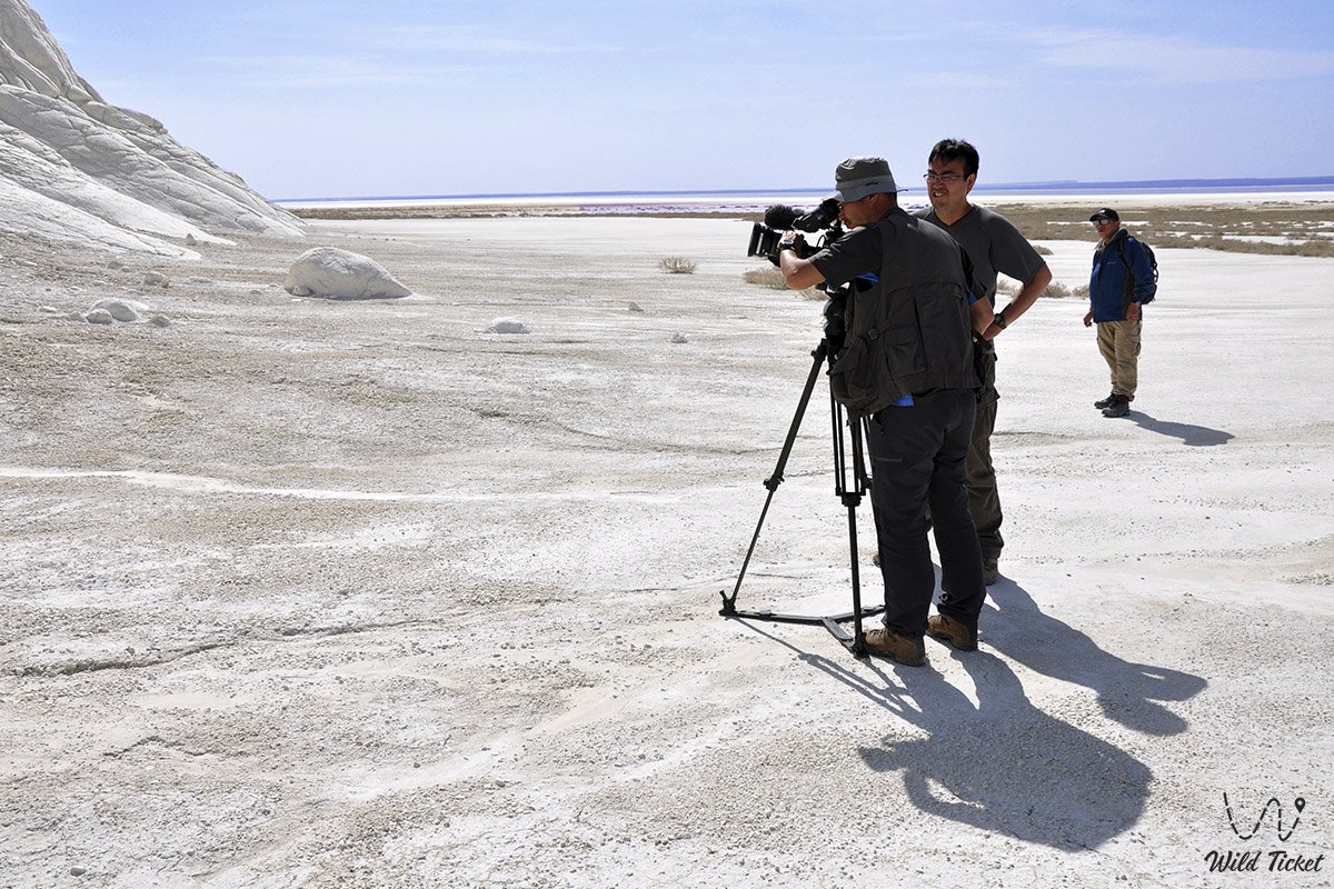
• Southern oval Basgurly depression – an enclosed basin measuring 13–16.5 by 3.5–4 km with a flat salt-marsh floor, bordered to the south and east by sheer hundred-meter scarps of white chalk and coquina.
• Northern elongated Zhazgurly depression – an oblong erosional basin measuring 16 by 6 km, fringed by stepped chinks with an extensive network of canyon-like ravines and karst niches.
• Inter-depression gentle saddle – a natural aggradational-denudational drainage divide 1.5–2.5 km wide connecting both depressions and serving as the primary ramp for descending toward the basin floors.
• Dual Amphitheater scenic terrace – the highest panoramic vantage point on the crest of the saddle, offering a 360-degree vista encompassing both giant salt-pan floors and the chinks of Kenderli-Kayasan.
• Karst-erosional cliff scarps – a multi-kilometer wall of escarpments up to 100–130 meters high with weathering towers, columns, and grottoes sculpted by wind and ancient runoff.
• Network of paleontological ravines – winding gullies at the junction of the plateau and the basin floors where spring runoff exposes strata rich in fossil shells and shark teeth from the Tethys era.
Flora and fauna
The plant life of the complex represents a harmonious blend of northern and southern desert floras. Stony plateau terraces are dominated by drought-resistant dwarf subshrubs: gray-soil wormwood, Lerche's wormwood, Anabasis salsa (biyurgun), Anabasis brachiata (tasbiyurgun), boyalych, eastern saltwort, and Krascheninnikovia (teresken). Rare calciphytic species colonize sheer chalk and coquina cliffs: Malacocarpus crithmifolius, Atraphaxis, Convolvulus persicus, and crustose lichens.
Halophytic communities thrive on the saline floors of the depressions: Halocnemum strobilaceum, European glasswort, and Caspian Kalidium. Sandy-clay slope aprons host thickets of black saxaul, Calligonum (dzhuzgun), and camelthorn (dzhantak). In spring, the slopes and plains are carpeted with blooming wild Sogdian tulips, two-flowered tulips, steppe irises, and small ephemerals that wither by early June.
The fauna enjoys strict protection under the nature sanctuary regime. The flat gravelly plateau surrounding the depressions provides benchmark nesting habitats for the rare MacQueen's bustard (houbara bustard, or zhek). In cliff niches and ledges, raptors rear their young: saker falcon, peregrine falcon, golden eagle, steppe eagle, long-legged buzzard, Egyptian vulture, and eagle-owl. Desert larks, Pallas's sandgrouse, and black-bellied sandgrouse are common across the floors.
Among mammals, herds of goitered gazelles regularly cross the basin floors and the gentle saddle. On the inaccessible crags of the chinks, Ustyurt mountain sheep (mouflons / urials) find dependable sanctuary. During seasonal migrations, herds of saiga antelopes pass through the territory.
The carnivore and rodent community includes the sand cat, caracal, corsac fox, steppe polecat, marbled polecat, tolai hare, long-eared hedgehog, Brandt's hedgehog, and colonies of gerbils and jerboas. Wolves and jackals patrol the basins at night.
The herpetofauna includes the desert monitor, Central Asian tortoise, agile steppe agama, toad-headed and secret toad-headed agamas, plate-tailed gecko, arrow snake, four-lined snake, sand boa, and the venomous Halys pit viper. Solifuges, scorpions, and black widow spiders (karakurt) inhabit rock crevices.
Legend
An ancient Kazakh legend concerning the Two Bogatyrs and the Great Rift of the Earth is tied to the origin of the Basgurly – Zhazgurly depression system.
Tradition tells that at the dawn of time, when the land of Mangyshlak was a flourishing nomadic steppe, ancestral rangelands were guarded by two devoted batyr brothers – the elder Basgur and the younger Zhasgur. Possessing heroic strength, they stood as an unyielding bulwark for their people.
One day, a ferocious fiery dragon emerged from the subterranean depths into the valley – an incarnation of drought and sandstorms, determined to incinerate pastures and destroy humanity. The brothers stood at opposite ends of the valley, blocking the monster's advance. The elder batyr Basgur struck his heavy mace against the rock in the south, while the younger Zhasgur brought down his battle axe in the north. From these colossal blows, the bedrock split apart in two directions, forming two deep abysses with sheer white walls into which the beast plunged and perished forever.
Yet from the shattering impact, the ground continued to fracture, threatening to swallow the entire countryside. The brothers stepped toward one another and clasped their mighty hands above the void. Where their hands joined, the destruction ceased, forming a gentle, steadfast stone saddle between the two abysses.
The batyrs themselves transformed into the indestructible cliffs of the chinks, eternally guarding the tranquility of these lands. Ever since, people have known these expanses by the names Basgurly and Zhazgurly, believing that as long as the bridge uniting them stands intact, harmony, peace, and ancestral protection will reign across the steppe.
Conclusion
The Basgurly – Zhazgurly depression system is a monumental natural ensemble of Mangystau, where a gripping geological chronicle of the Earth unfolds across 25 kilometers. An expedition through this protected hub with its stepped white chinks, salt-pan floors, and free winds sweeping across the plateau grants every explorer a profound connection to the primeval power of Kazakhstan's wild nature.
Interesting sights nearby:
• Kauyndy (Kuandy) Endorheic Depression;
• Kenderli Bay on the Caspian Sea coast;
• Senek (Tuyesu) Sand Massif and Dunes;
• Chalk Outlier Canyons of the Bozzhira Tract;
• Lake Karakol (Home of Greater Flamingos);
• Multicolored Layered Mount Bokty Outlier;
• Chalk Outliers "Fangs of Bozzhira";
• Kyzylkup Tract;
• Porous Canyon Kabyrga (Ybykty-Say);
• Mount Bokty Table Mountain;
• Zhygylgan Sinkhole;
• Traces of Ancient Animals in the Zhygylgan Tract;
• Heart-Shaped Lake Kuzdykary;
• Karynzharyk Depression;
• Chalk Outliers "Three Brothers";
• Deepest Karagiye Depression;
• Canyons of Kapamsay, Tamshaly, and Saura;
• Lake Karakol;
• Tyub-Karagan Bay, Bautino Village-Port, and the Town of Fort-Shevchenko;
• Tupkaragan Peninsula;
• Ustyurt State Nature Biosphere Reserve;
• Karagiye-Karakol Nature Sanctuary.
Sacred sights and pilgrimage destinations:
• Beket-Ata Underground Mosque in Oglandy Tract;
• Shopan-Ata Underground Mosque in Karakiyan District;
• Karaman-Ata Underground Mosque and Necropolis;
• Mausoleum of Saint Man-Ata on Manata Pass;
• Shakpak-Ata Rock-Cut Cruciform Mosque;
• Sultan-Epe Underground Mosque and Necropolis;
• Kenty-Baba Necropolis and Underground Mosque;
• Khanga-Baba Necropolis with Ancient Stone Mosque;
• Pantheon of Kazakh Batyrs Sisem-Ata Necropolis;
• Ancient Koshkar-Ata Necropolis;
• Otpan Tau Historical and Cultural Complex on Mount Otpan-Tau;
• Masat-Ata Underground Cave Mosque.
Photogallery: