What to see in Mangystau and how to see Mangyshlak -
Tourist routes of Mangystau -
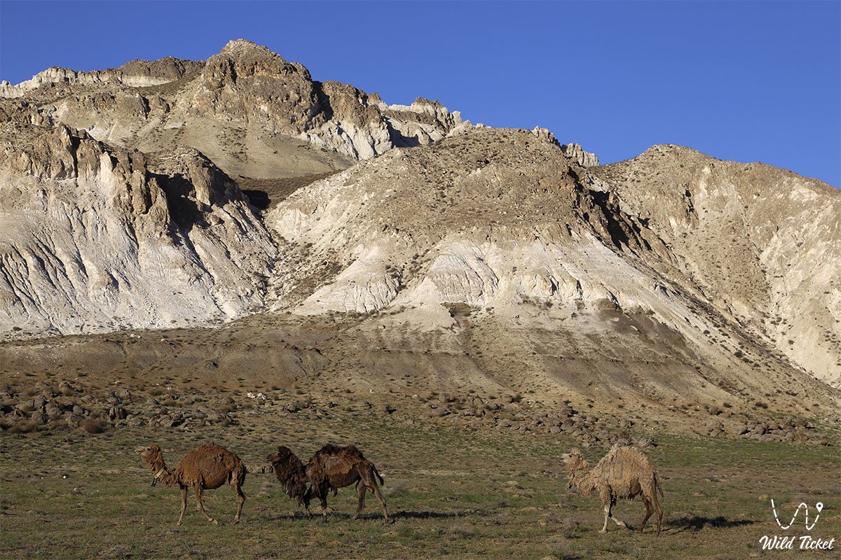
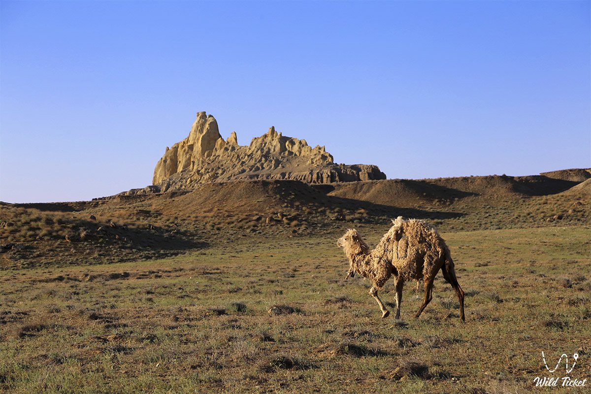
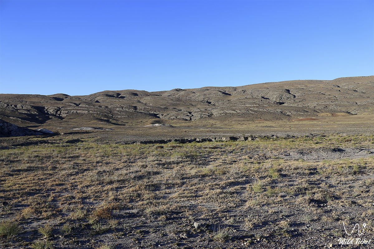
The Kenderli-Kayasan Plateau is also known as the Kenderli-Kayasan Protected Area, the zone was founded in 2001 in order to preserve the habitat of various species of animals, specifically the beauty bustard and the saker falcon (Chlamydotis undulata), (Falco cherrug). The highest point on the Kenderli-Kayasanskoe plateau is called the Sai Hill, 180 meters above sea level.
---------------------------------------------
How to get there -
The Kenderli-Kayasanskoe Plateau is located in the Karakiyansky district, Mangystau region in Kazakhstan, the Kenderli-Kayasanskoe Protected Area.
GPS coordinates: 42°17'48"N 52°56'05"E
---------------------------------------------
Information for tourists
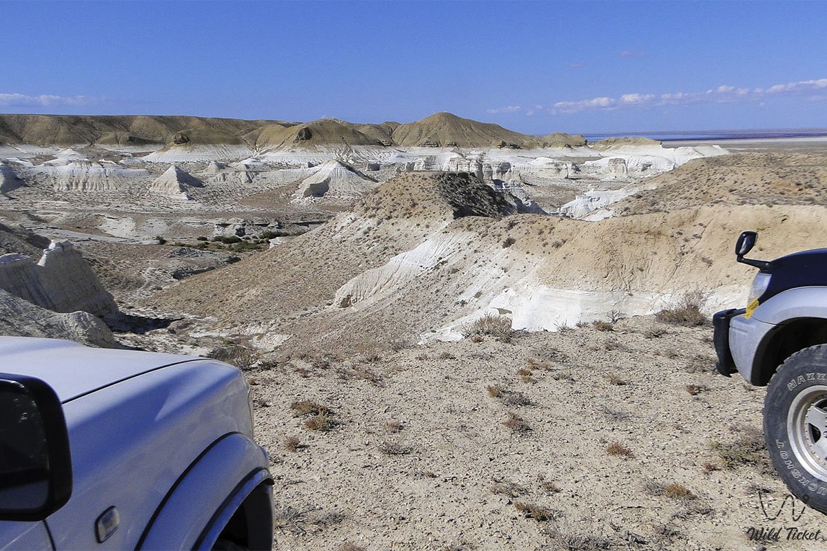
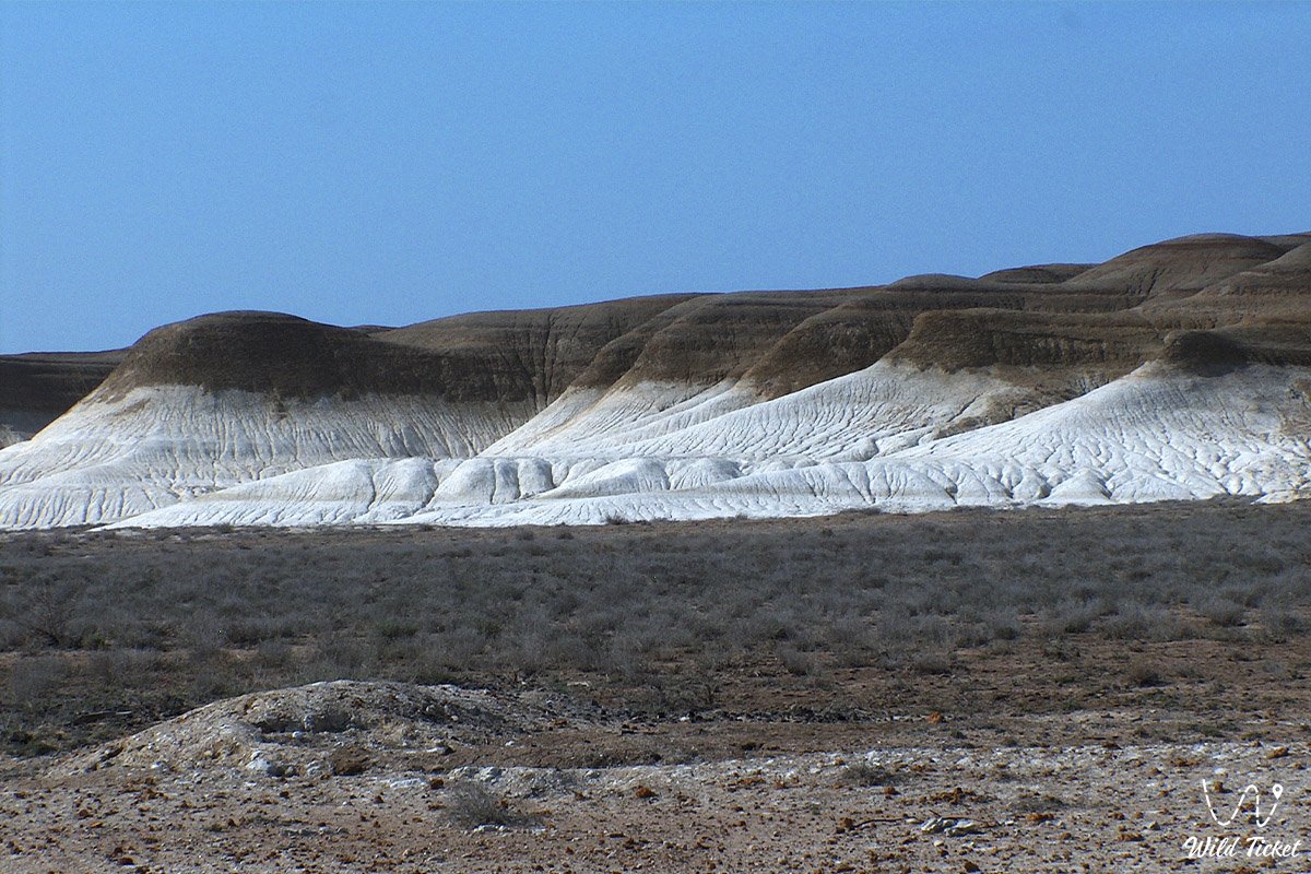
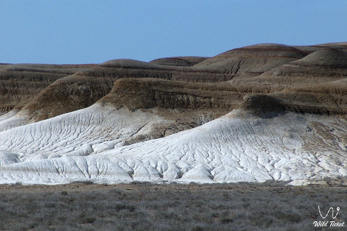
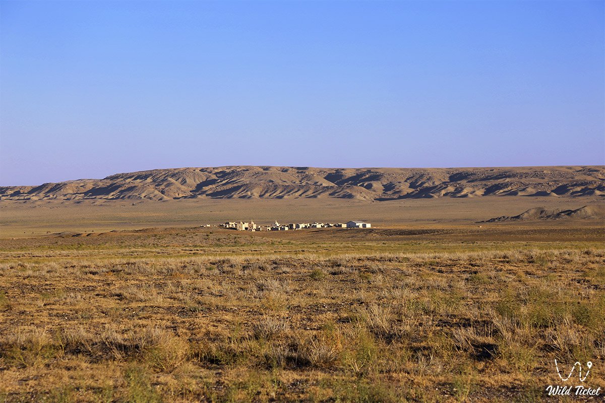
It is possible to stay on the Kenderli-Kayasan plateau with a special permit, which you can get on the spot or in the city of Almaty. The protected area also includes the Basgurli, Jasgurli, Kuanda depressions, therefore, it is necessary to observe the rules on the territory of the protected area, not to hunt animals, clean up garbage, and protect the natural diversity of the region.
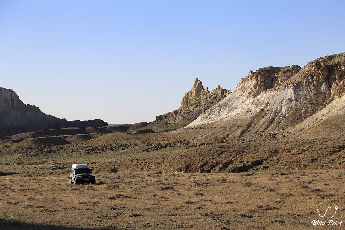
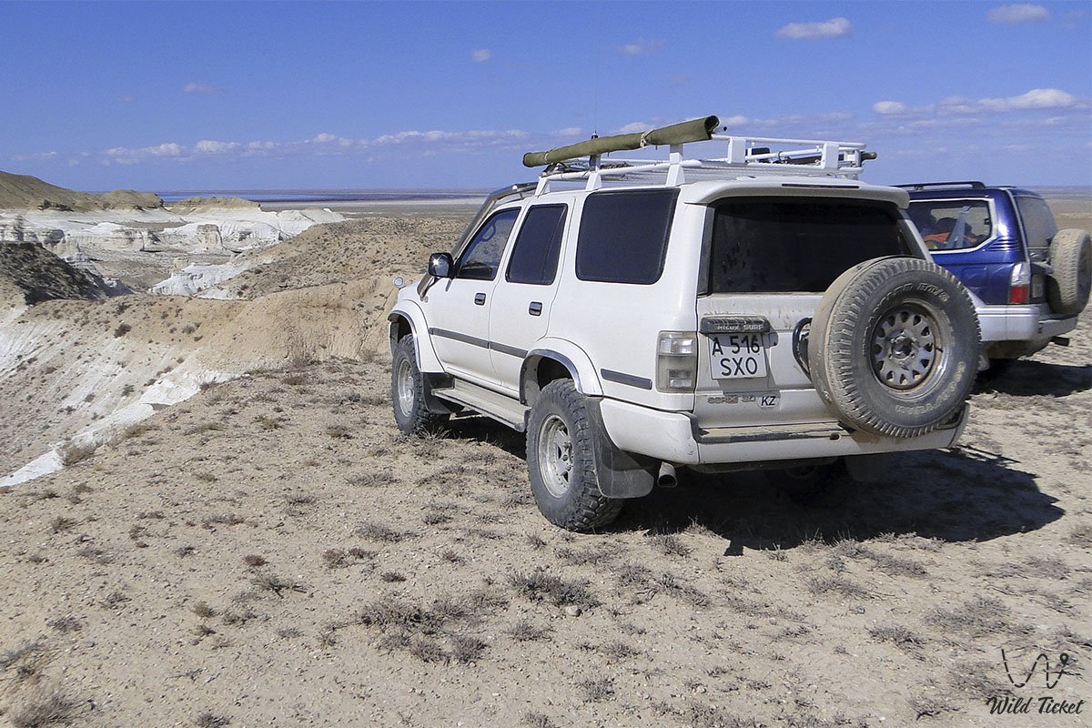
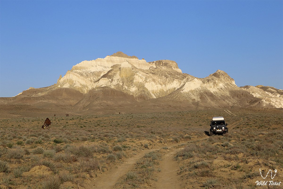
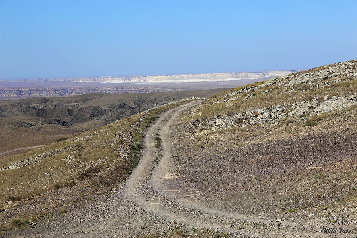
It is best to travel along the Kenderli-Kayasanskoe plateau with a guide who knows the area well, it is also necessary to orient here using maps and GPS navigators. Country roads are laid along the plateau, there is no asphalt here. It is best to travel on the Kenderli-Kayasanskoe plateau in two 4x4 vehicles, have water and all the necessary equipment for traveling in extreme conditions, it is quite hot here in summer.
Photogallery: