Traveling through the steppes and deserts of Kazakhstan -
Excursion from Kokkala tract to Karynzharyk -
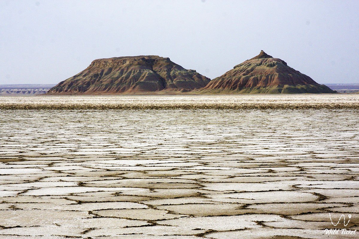
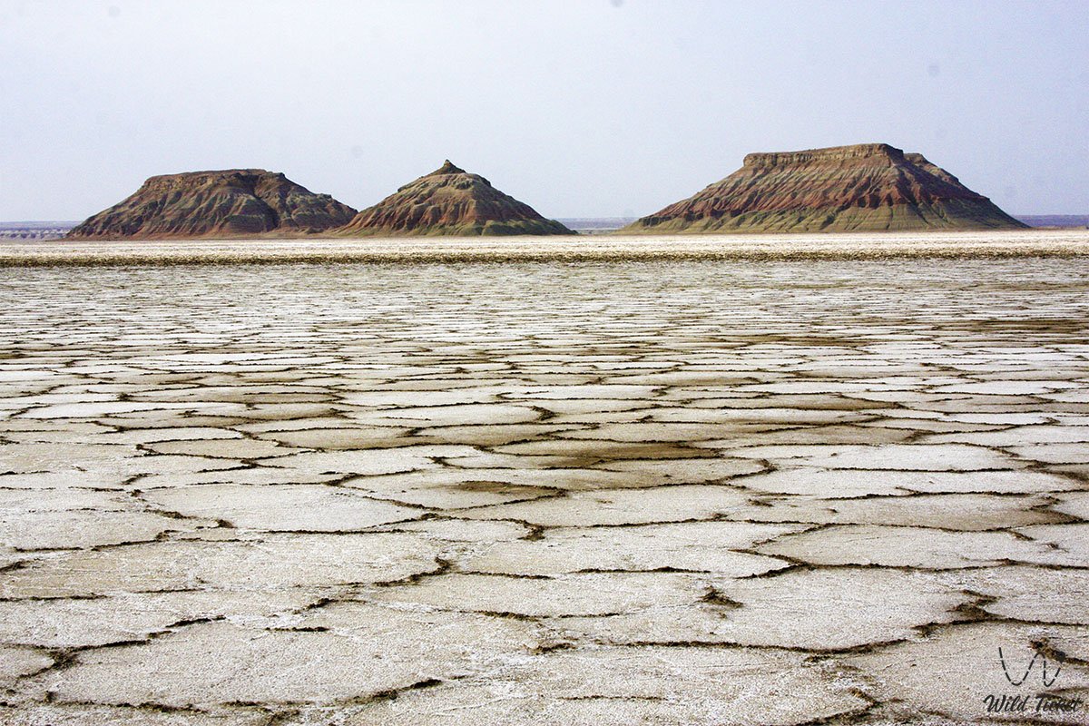
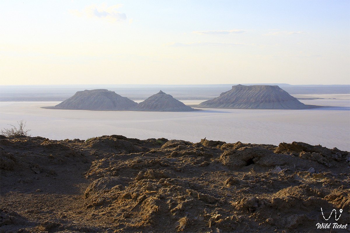
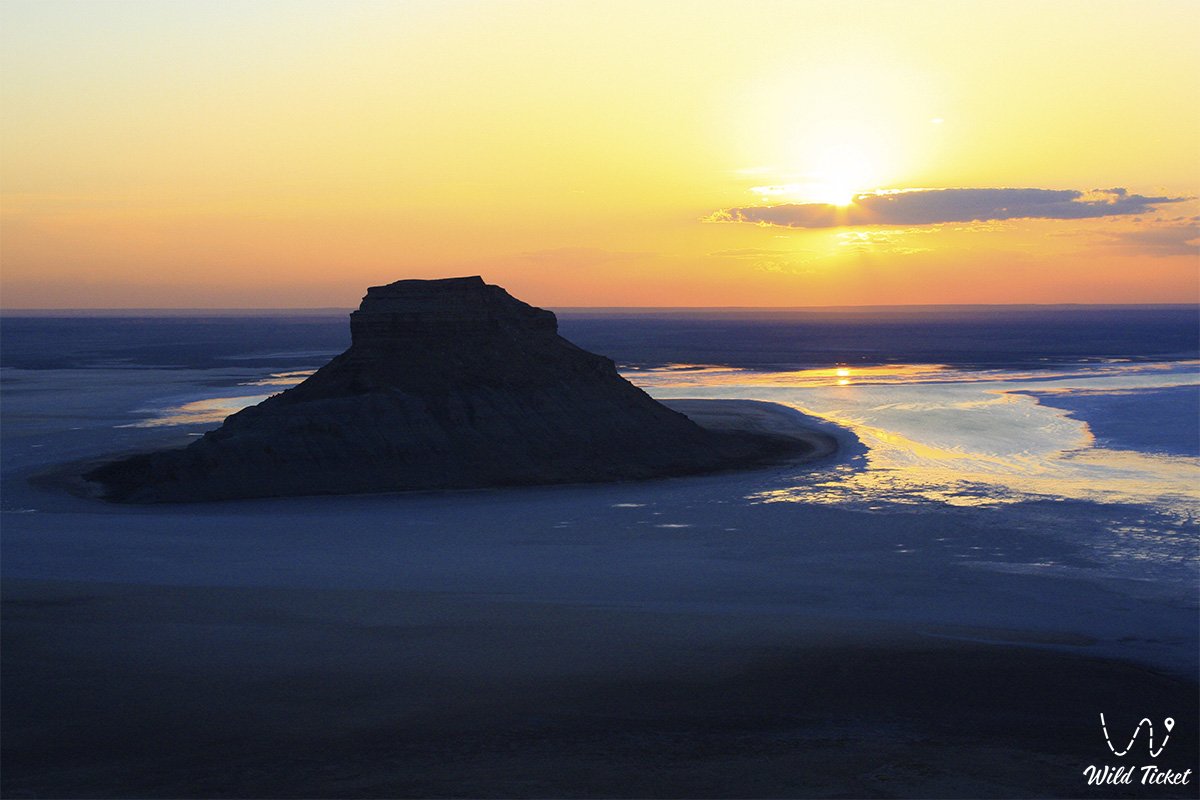
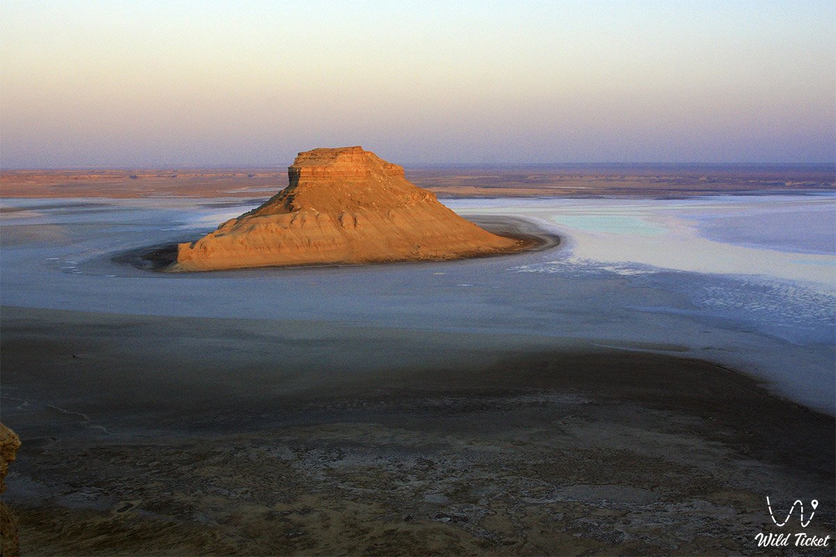
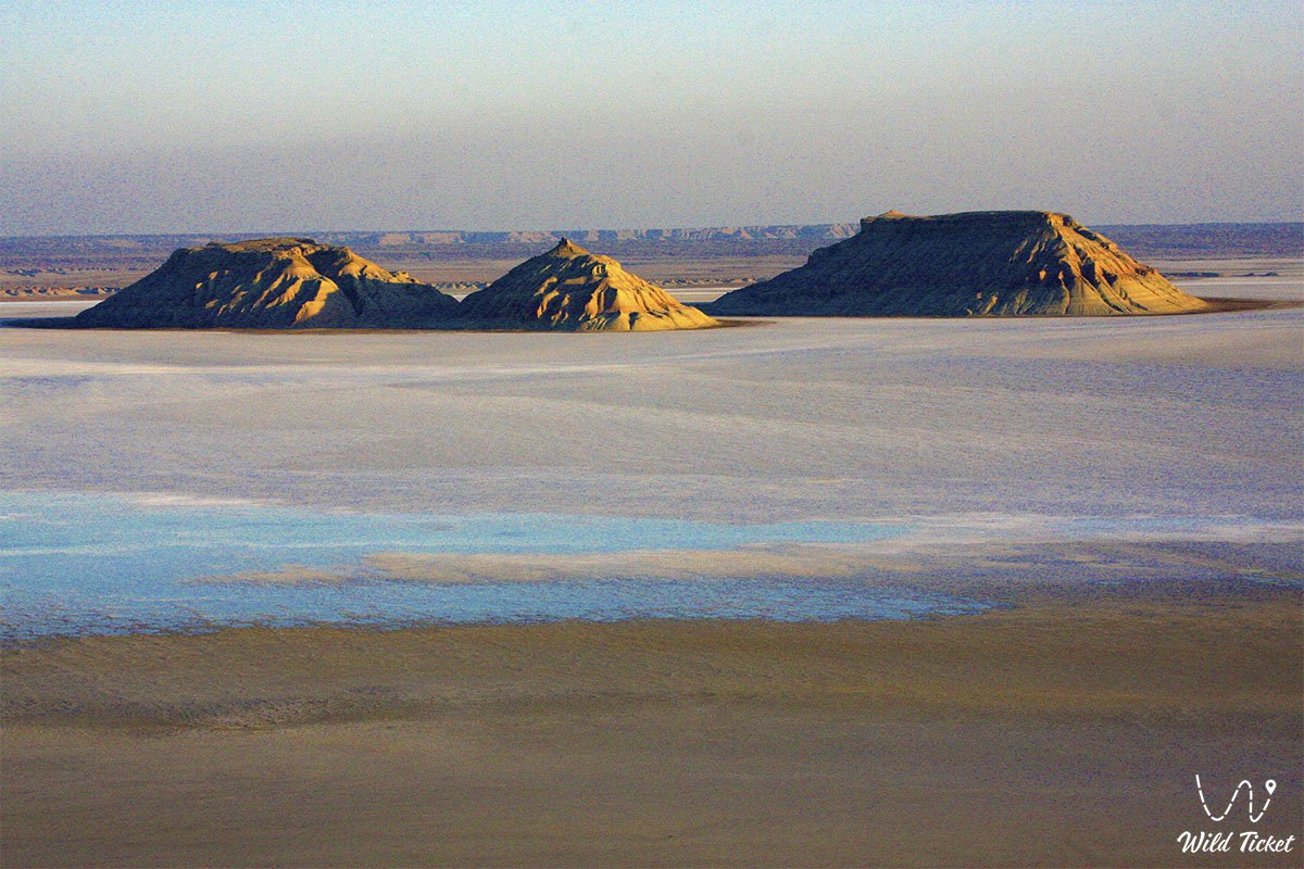
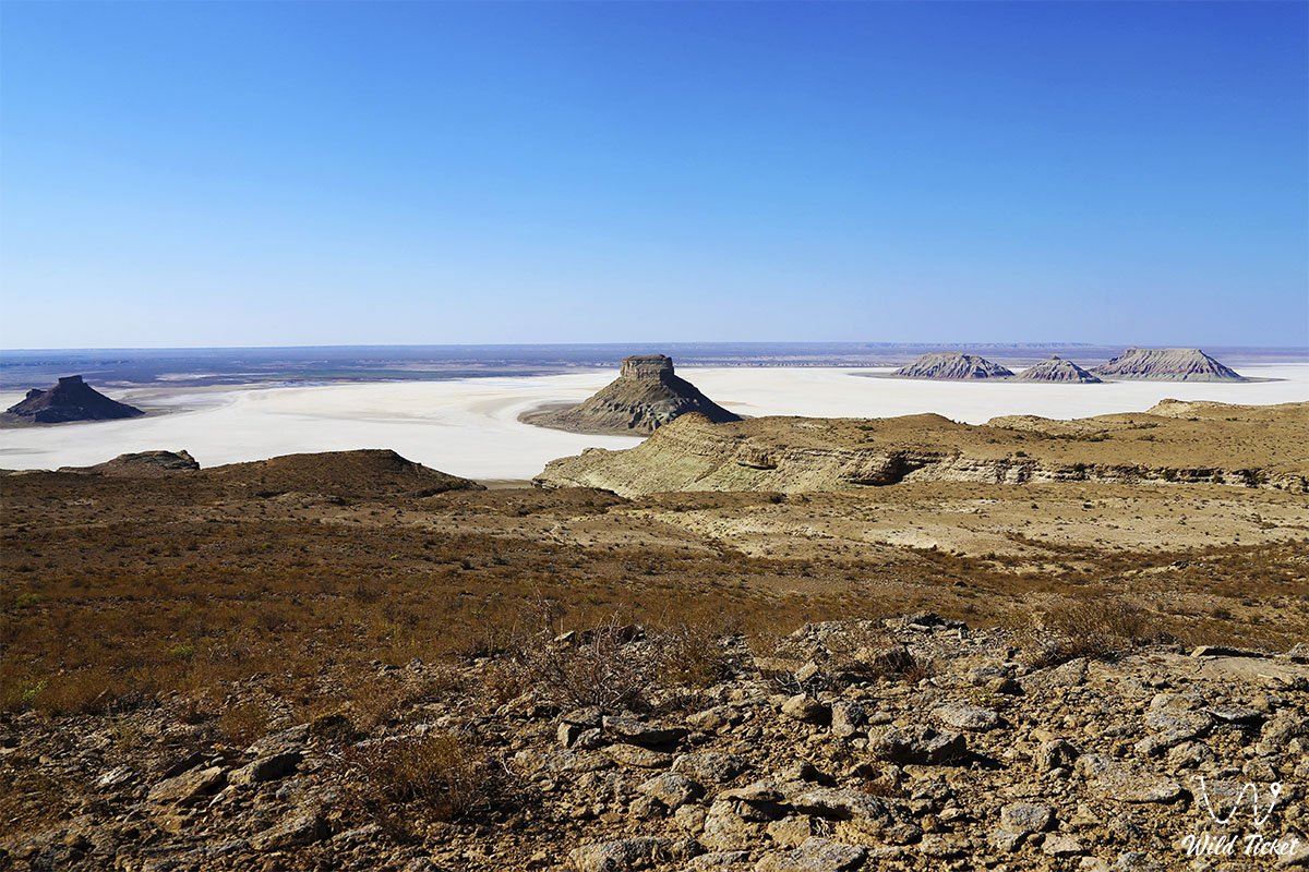
Karynzharyk depression in Kazakhstan, a desert area, is part of the Ustyurt plateau and is a natural landmark of the Ustyurt Reserve. The length of the depression is 160 km, the width is 40 km, the Karynzharyk depression is sandy hills and a desert steppe area, the region is very popular among travelers. There are tourist routes along the Ustyurt plateau that cross the Karynzharyk depression.
---------------------------------------------
How to get there -
Karynzharyk is located on the territory of Kazakhstan in the Ustyurt Nature Reserve, Mangystau region, Karakiyansky district. The main landmark here is the village of Ak-Kuduk, the distance from the village to the depression is 25 km.
GPS coordinates: 42°58'45"N 54°25'05"E
---------------------------------------------
Information for tourists
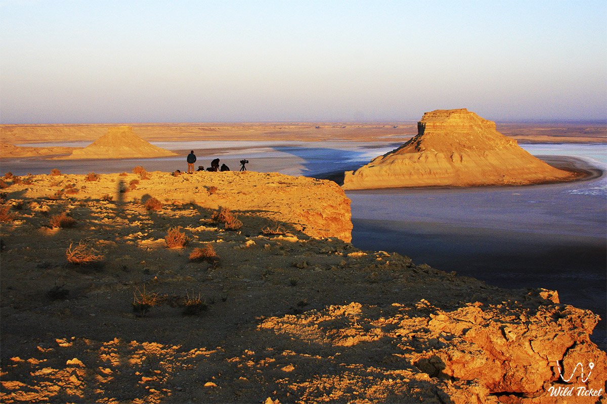
Traveling through the Karynzharyk depression and the Ustyurt plateau is possible by 4x4 car. We take with us all the necessary equipment for traveling and setting up a base camp for the night. In the northern part of the Karynzharyk depression, there is another attraction of the region, Mount Karamaya, 200 meters above sea level, as well as the Kenderli steppe salt marsh.
We recommend traveling in this region in spring and early summer, at this time it is especially beautiful here, the desert blooms and the temperature is not so hot. In the second half of summer it is very hot here, and the region is also visited in autumn, when the temperature decreases.
Photogallery: