Fantastical labyrinth of chalk citadels and geoglyphs of Andrey Astafyev –
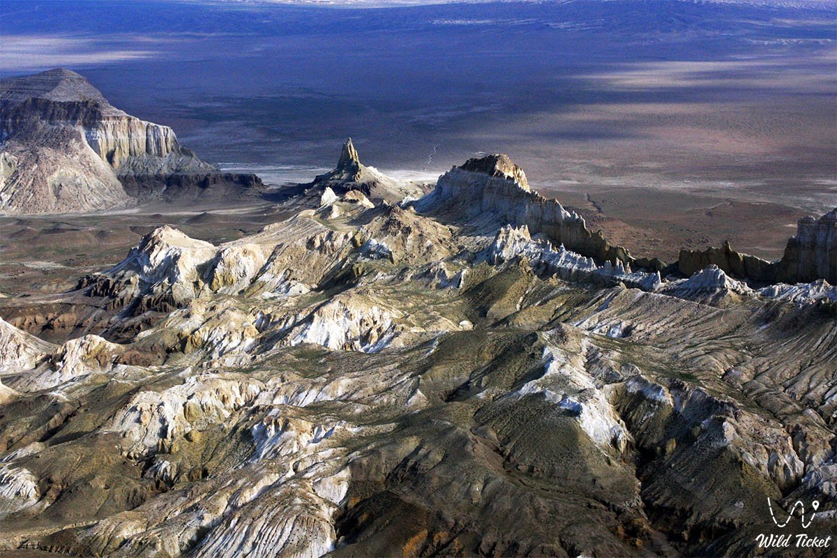
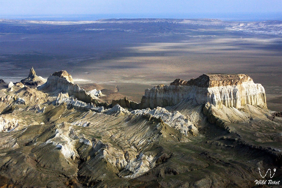
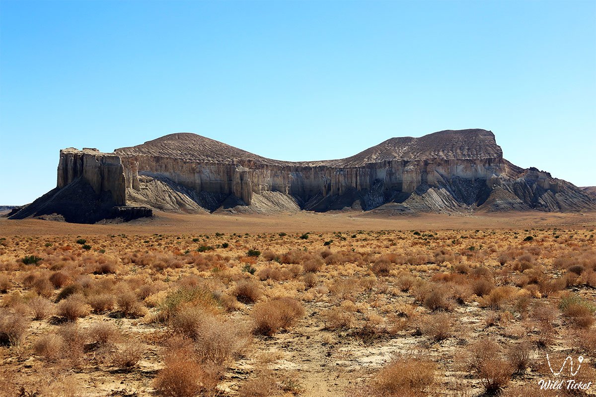
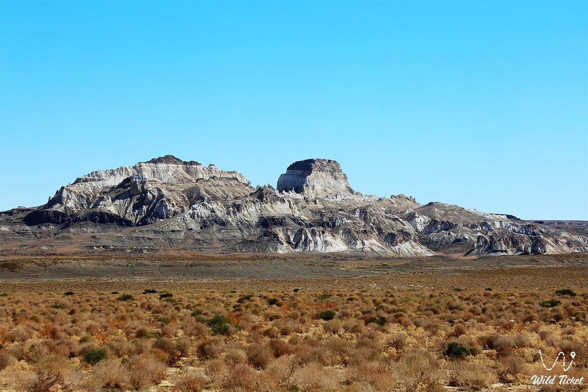
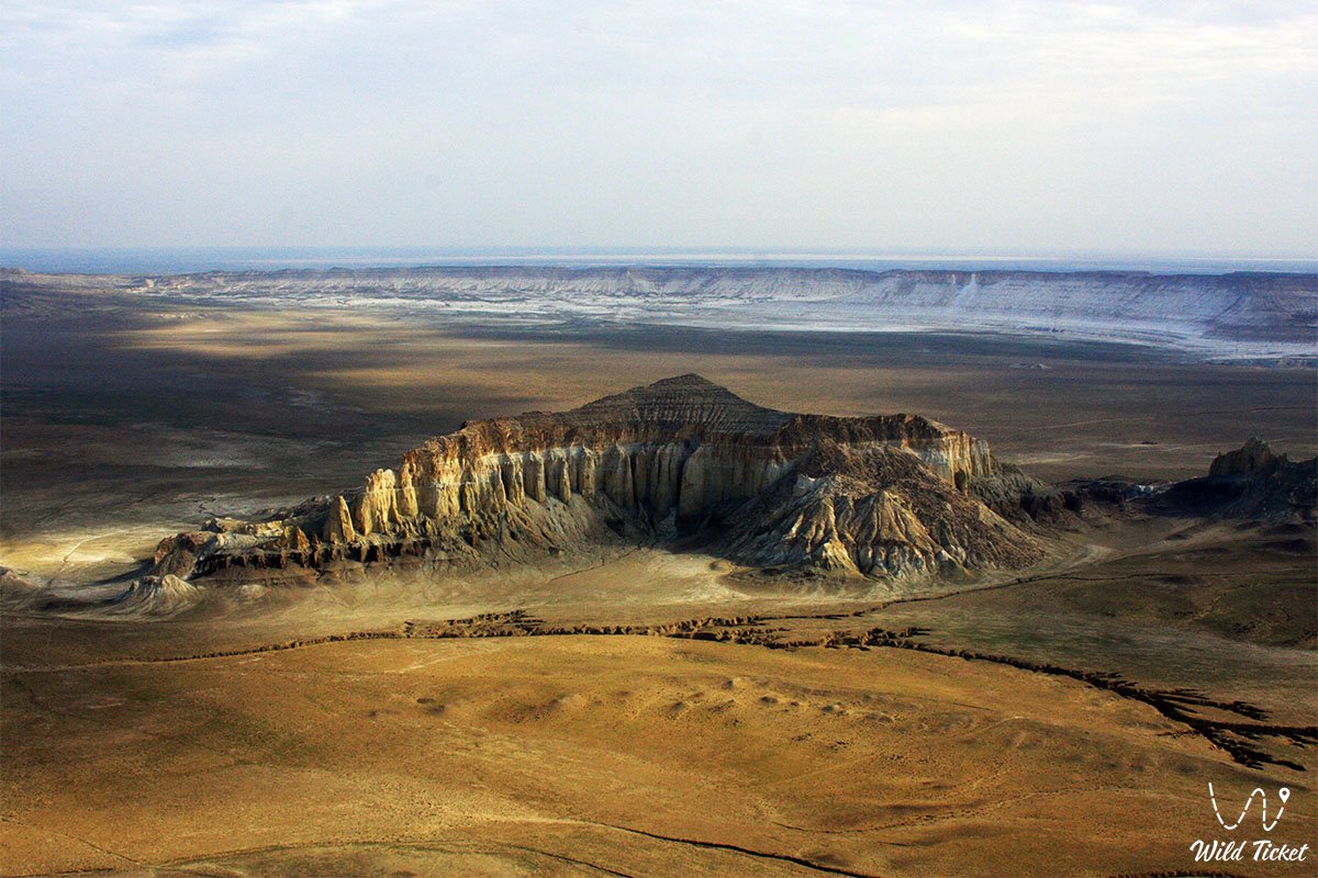
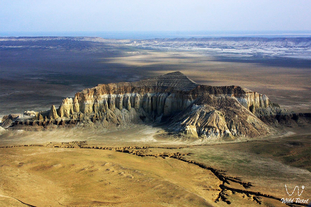
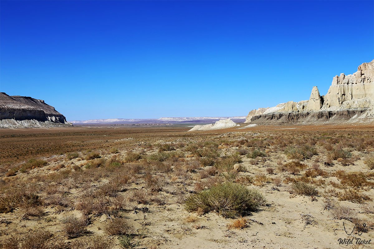
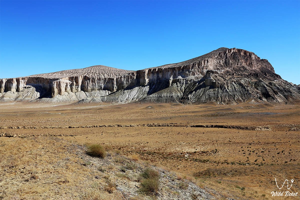
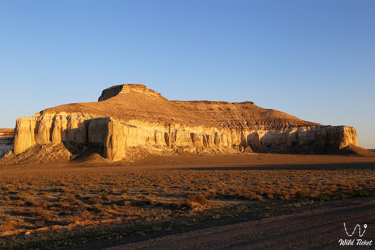
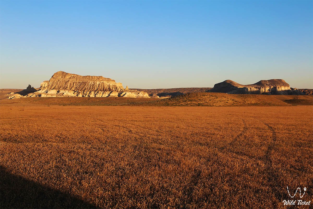
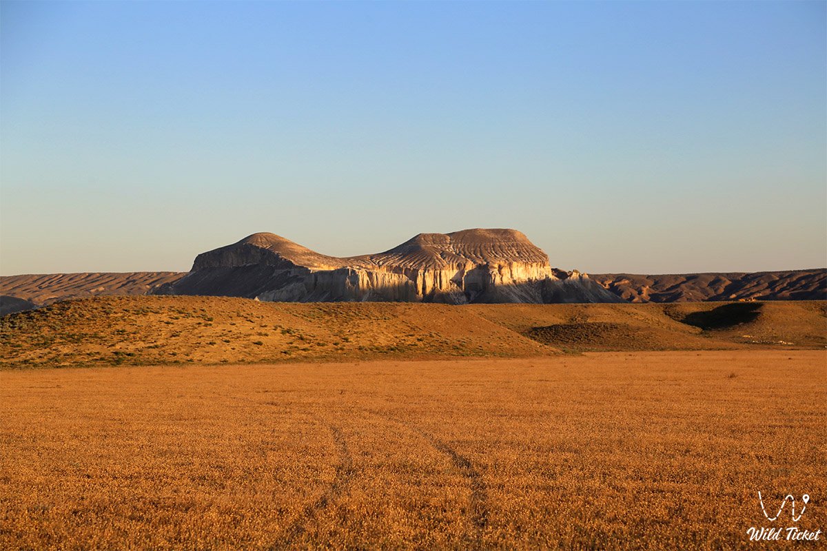
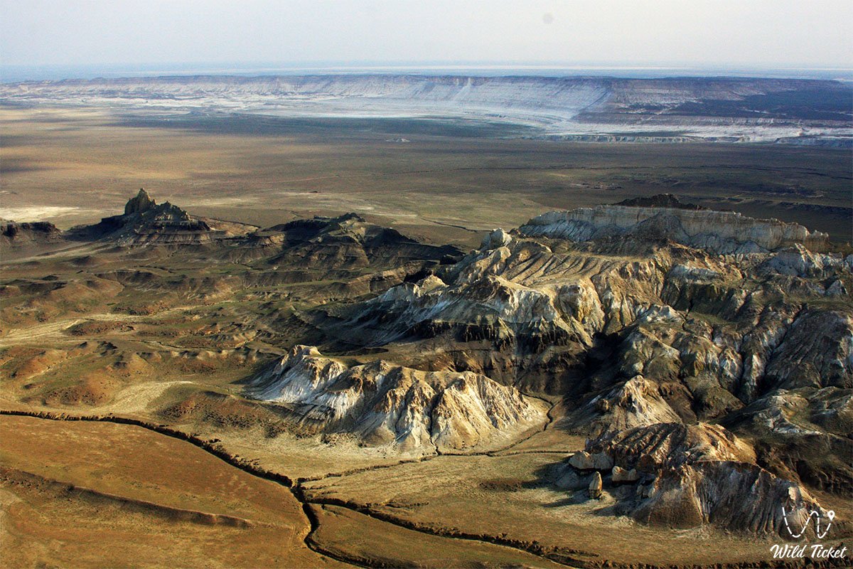
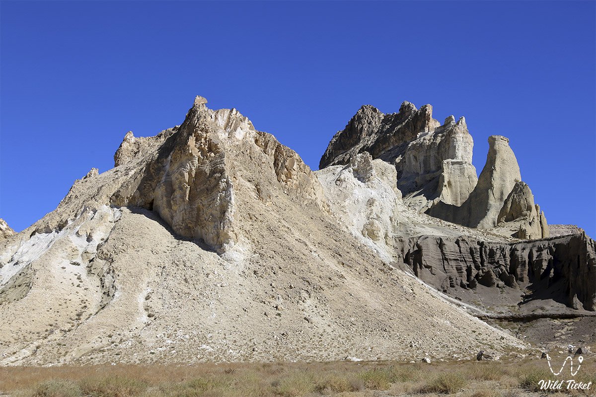
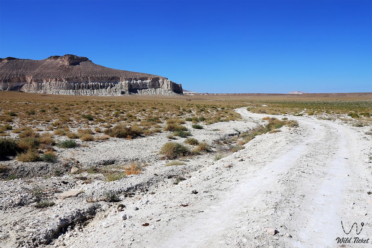
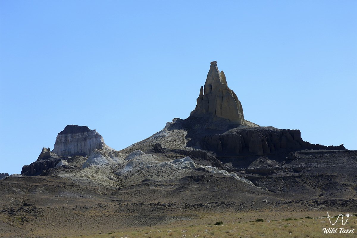
The Airakty – Shomanay Residual Mountains (Kaz. Airaqty – Shomanai, locally also known as Zhairakty or simply Airakty) represent a grandiose mountain-outlier system, an enclosed basin, and the world-renowned "Valley of Castles," situated in the Mangystau district of the Mangystau region. The mountain massif sprawls at the junction of the foothills of Northern Aktau and the Karatau ridges, extending from southeast to northwest for 11 kilometers with a maximum width in its central section of up to 6 kilometers.
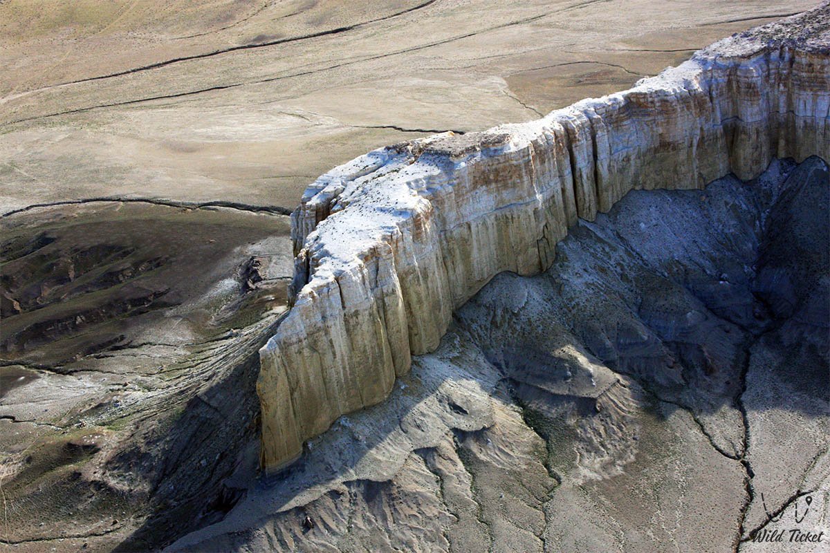
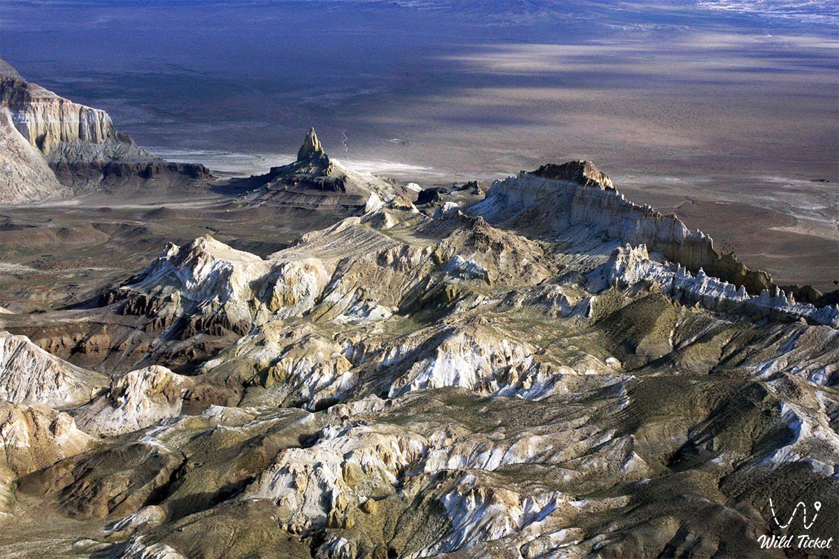
Entire this fantastical mountain ridge of Mangystau is a direct legacy of the prehistoric Tethys Ocean, which surged here tens of millions of years ago: thick sedimentary strata of writing chalk, marls, and coquina limestones, uplifted from the floor of the ancient sea by tectonic processes, were sculpted over long epochs by the elements into impregnable white fortresses.
On expedition itineraries across the Mangyshlak Peninsula, the Airakty – Shomanay tract is a key jewel of the unified travel circuit: on the way to the Valley of Castles, travelers unfailingly pass the legendary solitary residual mountain Sherkala ("Lion's Fortress"), and nearby explore the cool spring oasis gorges of Akmysh Say and Samal alongside the iridescent stratified cliffs of Jurassic clays in Kokkala.
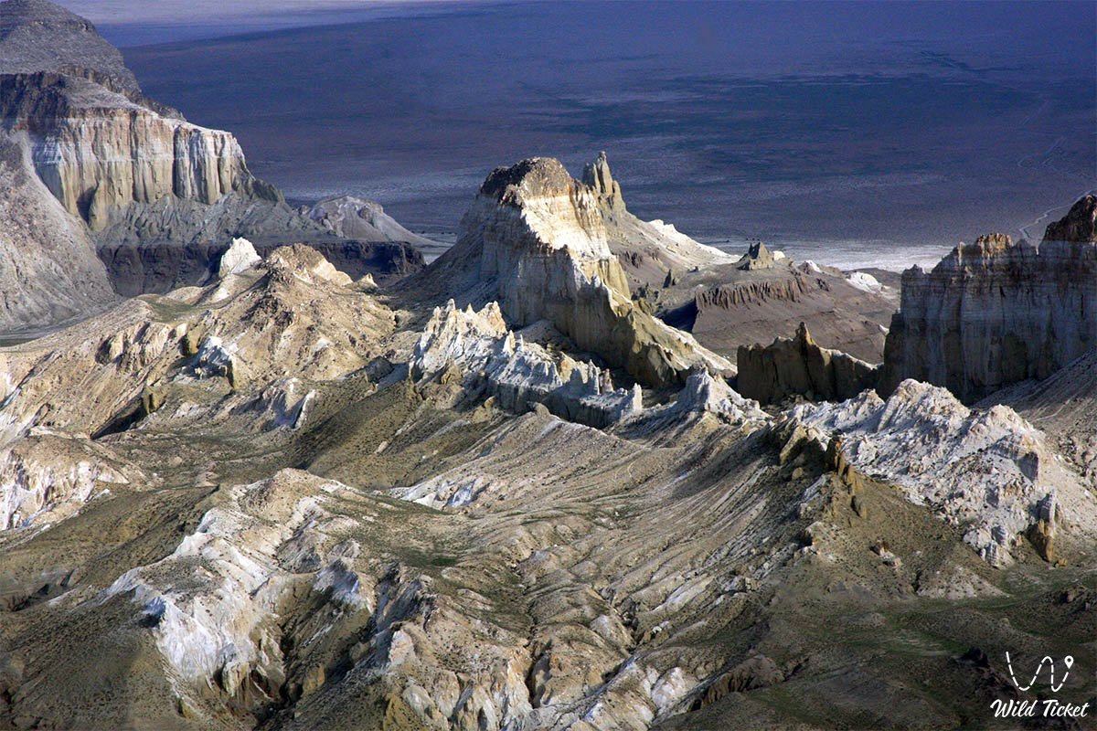
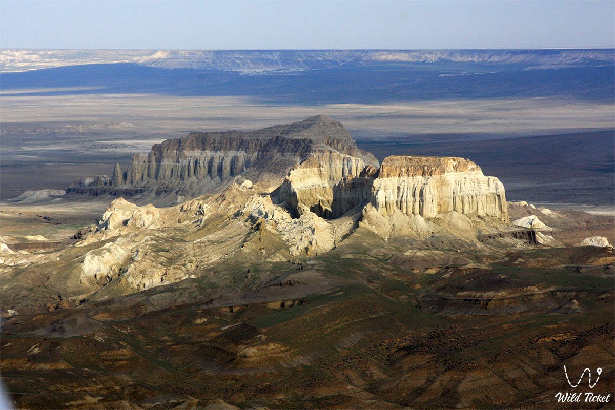
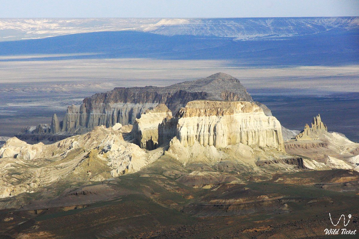
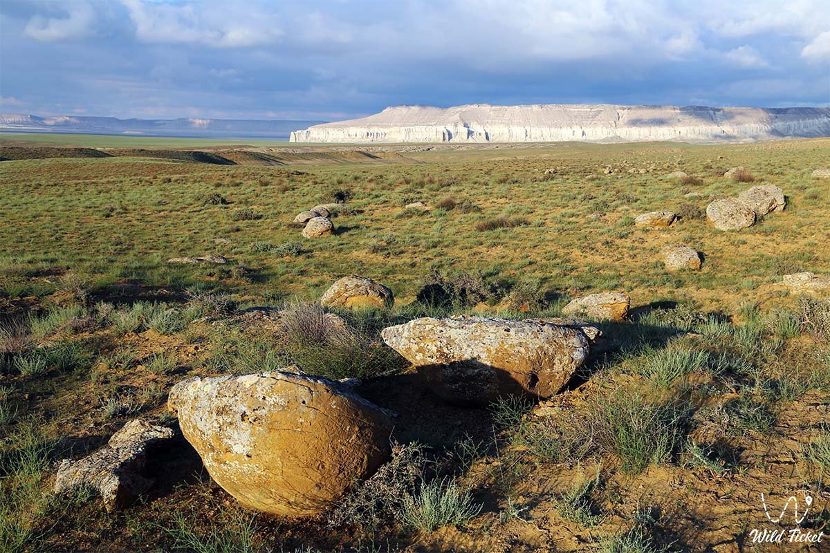
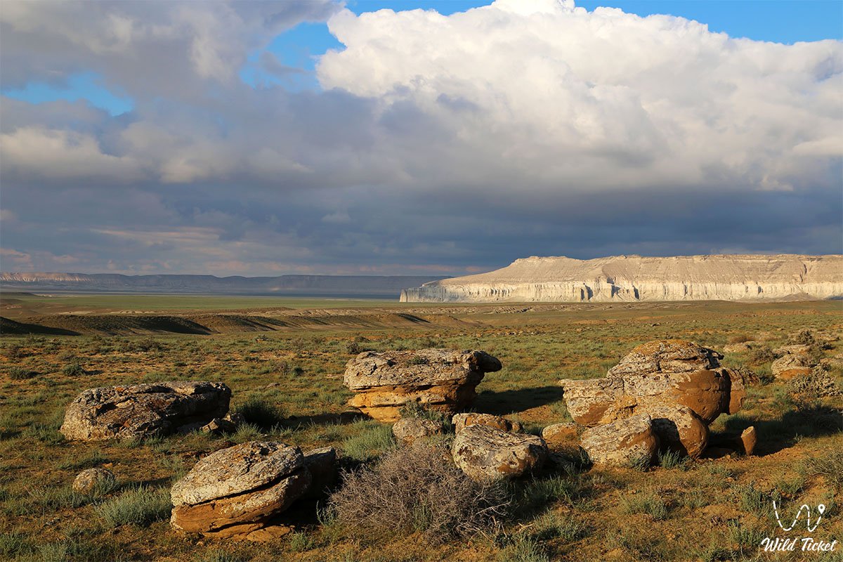
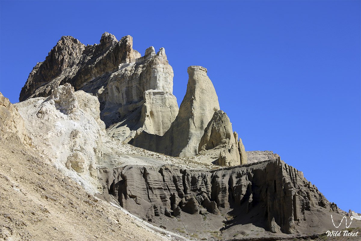
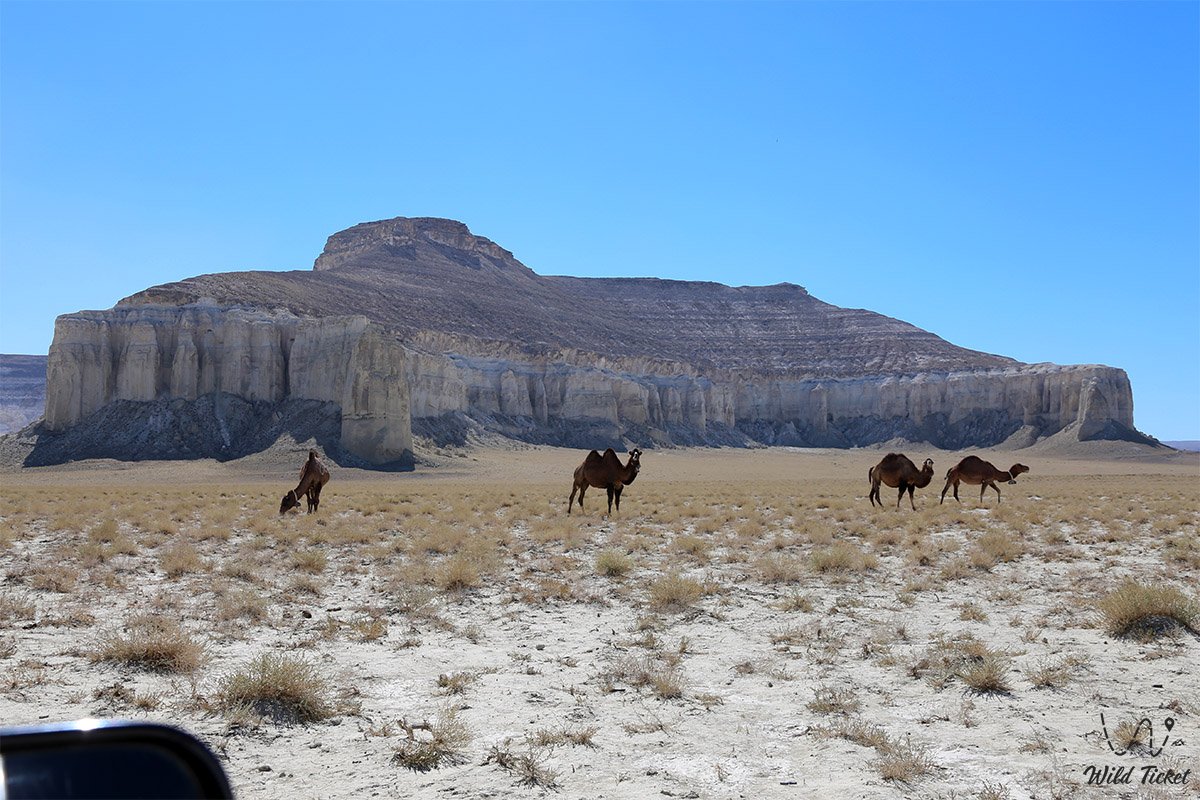
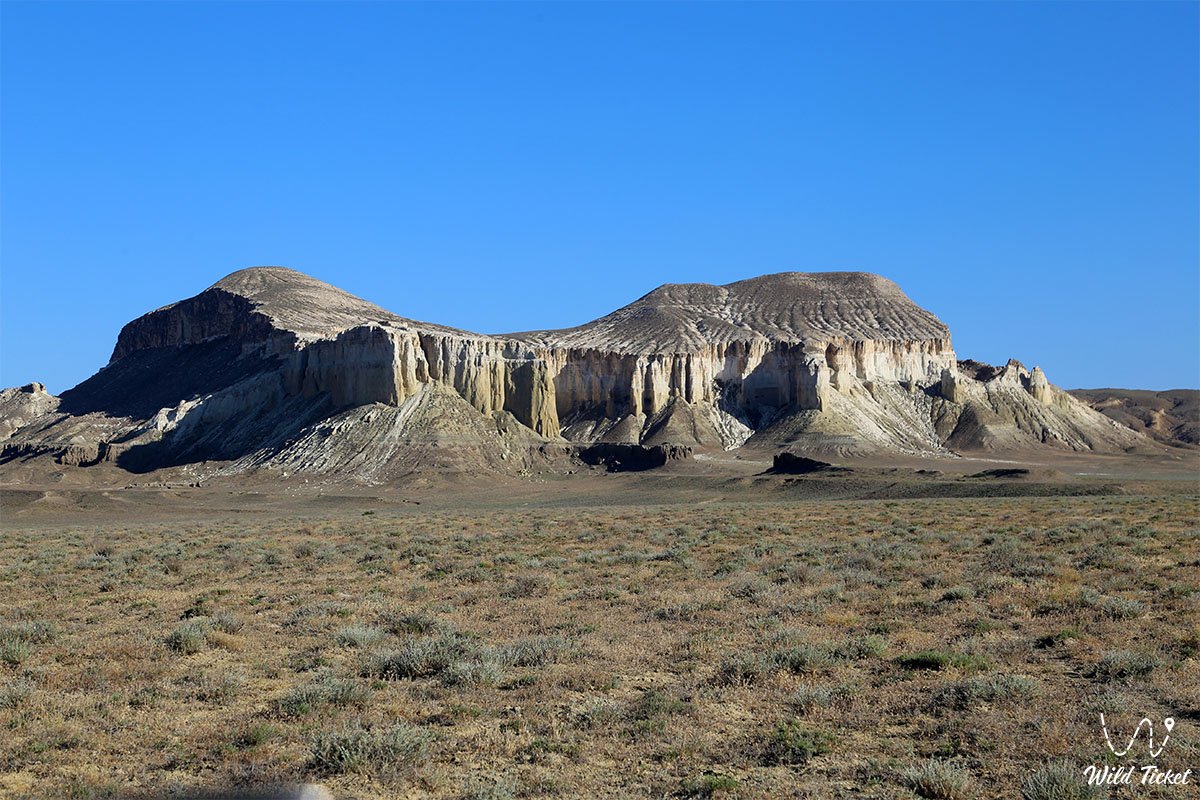
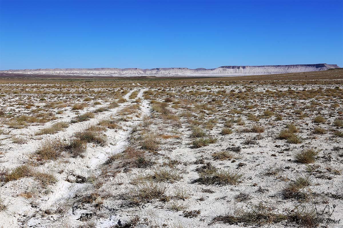
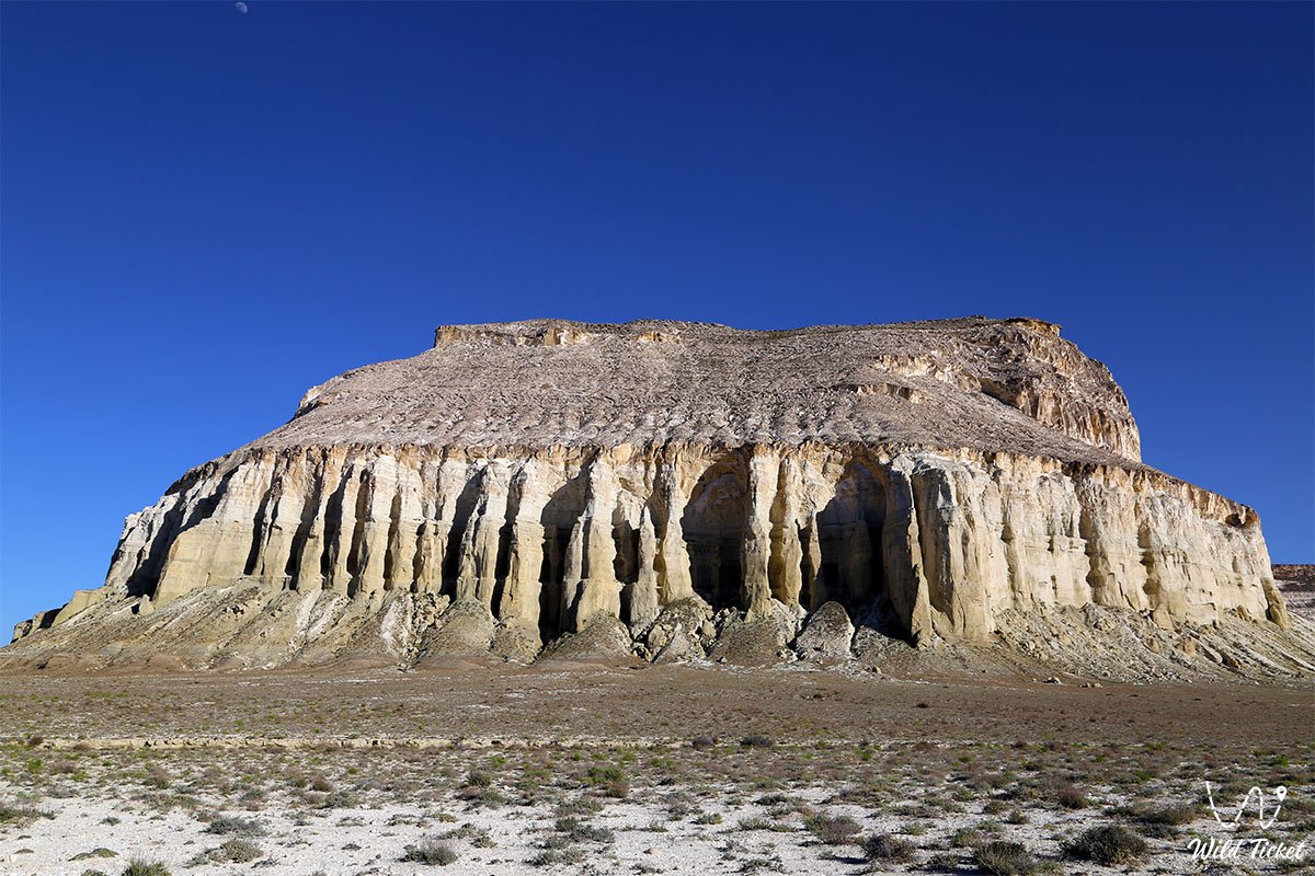
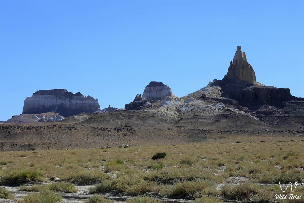
While the Bozzhira tract with its celebrated "Fangs or Dragon's Teeth" strikes travelers with an austere, primeval Martian scenery, Airakty – Shomanay evokes entirely different architectural associations. This landscape appears almost handcrafted: amid an impeccably flat clay plain rise dozens of snow-white and straw-colored residual outliers, reminiscent of the ruins of a colossal civilization that vanished millennia ago.
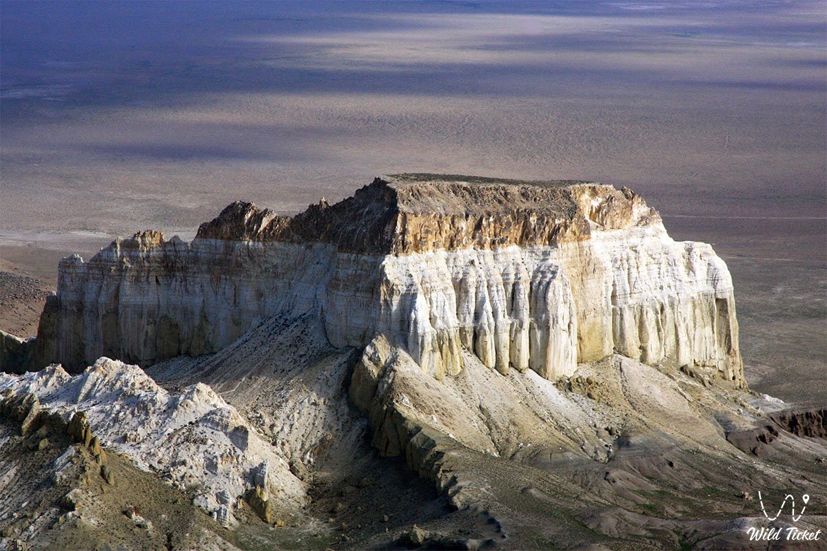
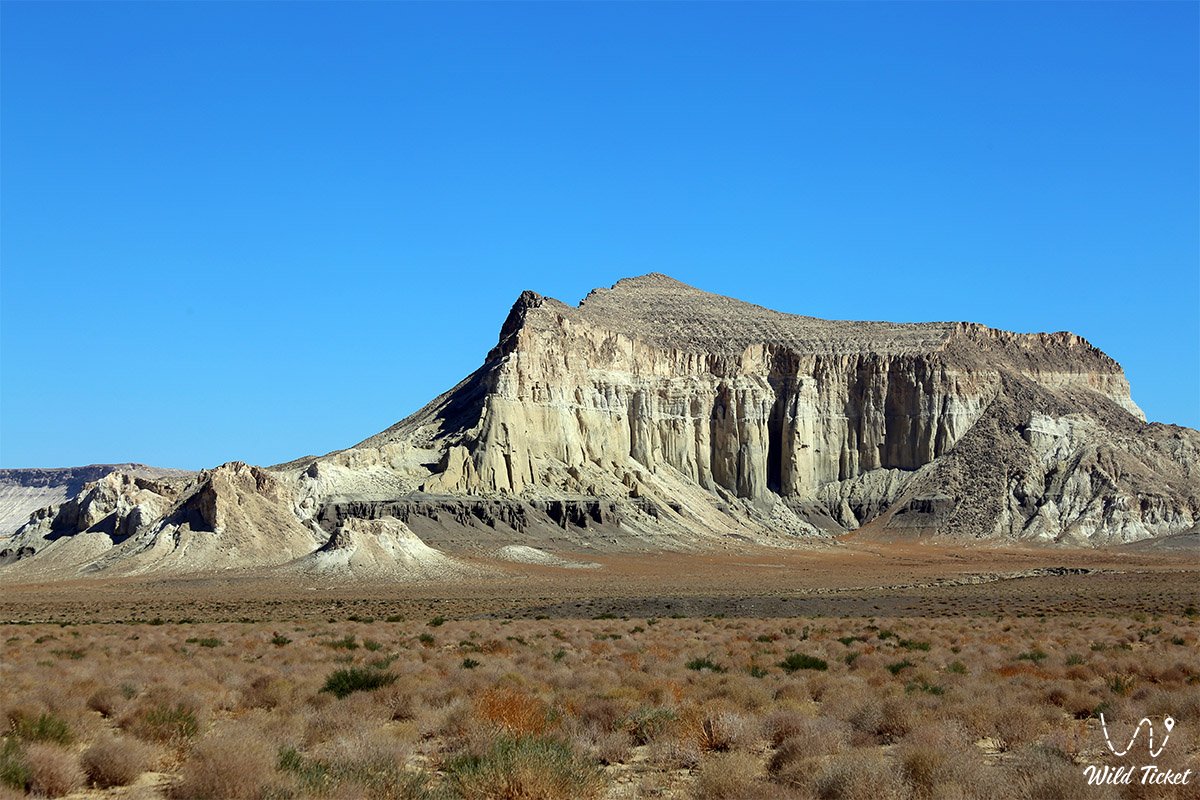
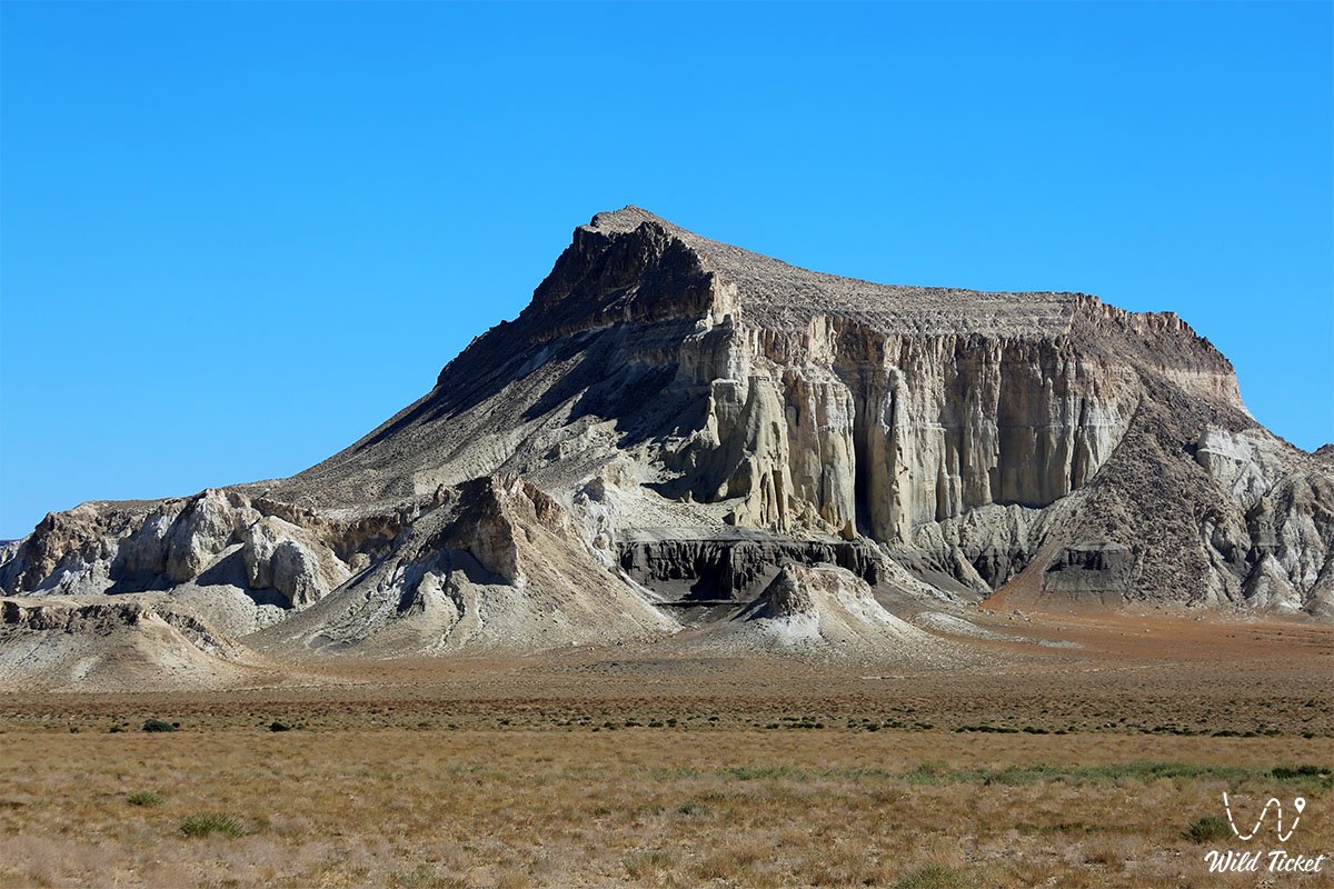
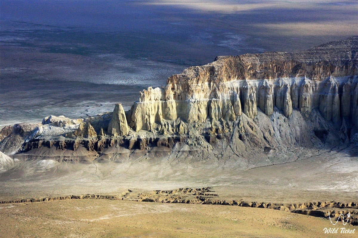
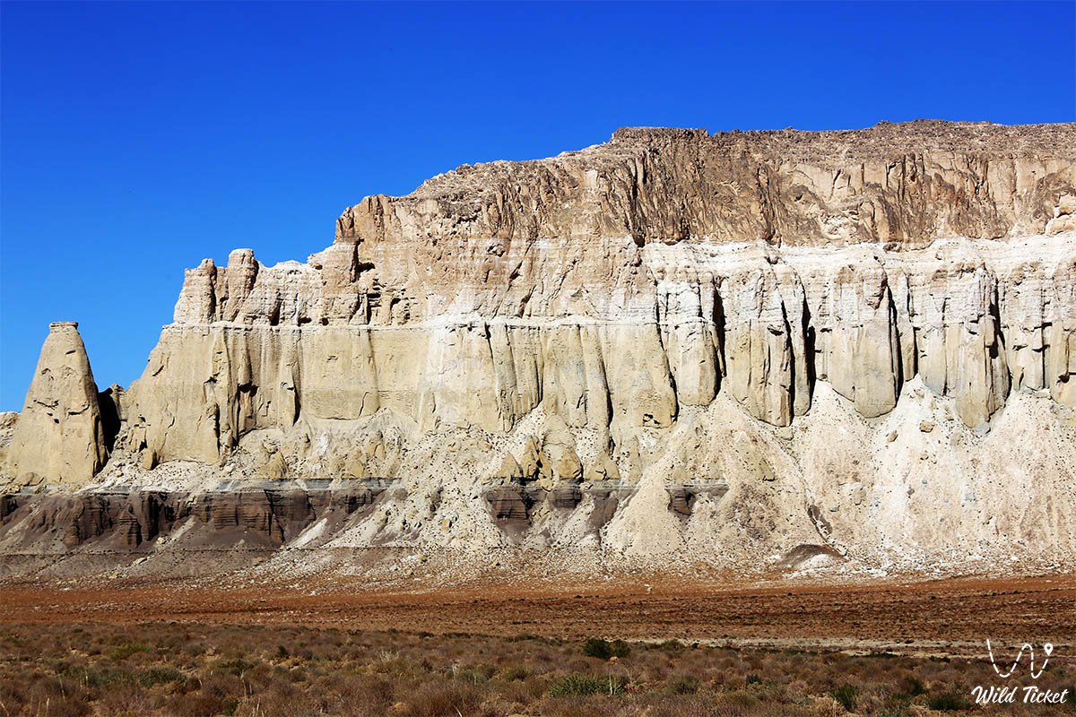
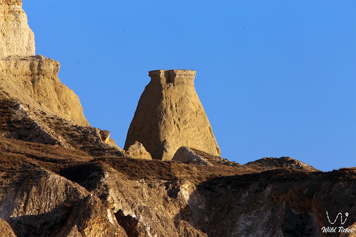
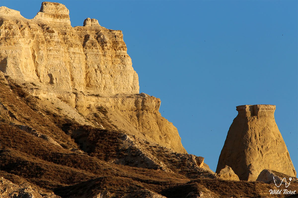
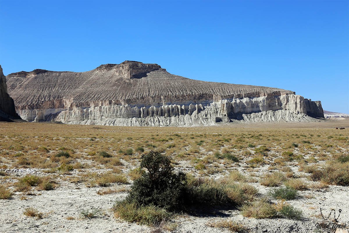
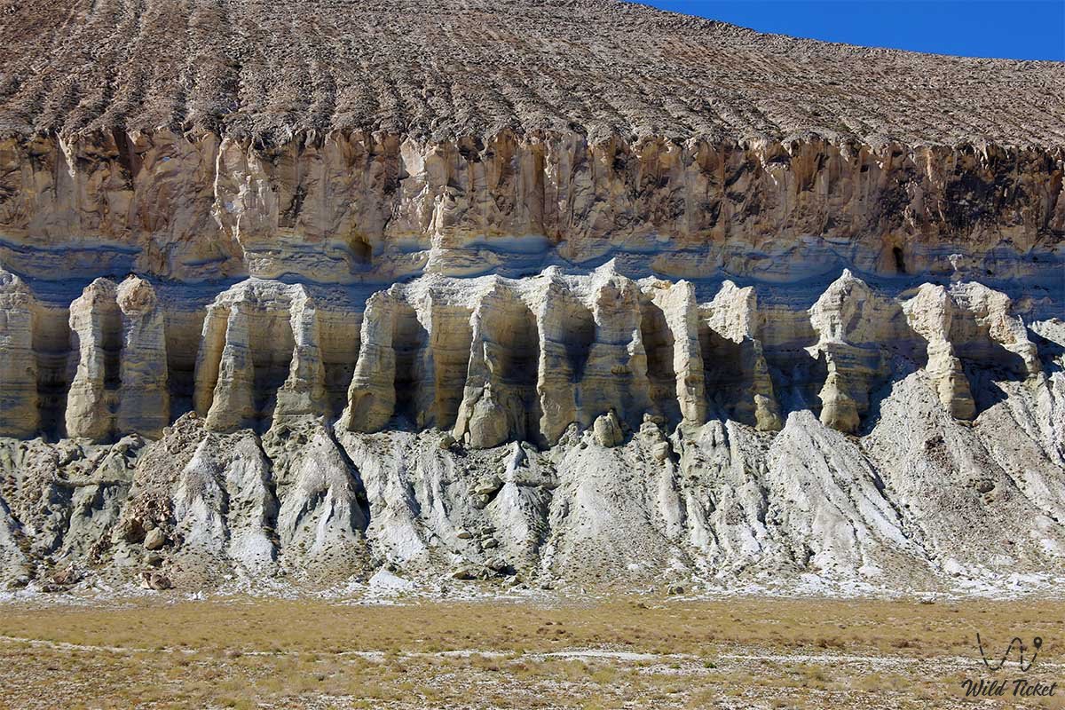
Water, sun, and gale-force winds worked here like a master architect, carving vertical fortress walls, monumental colonnades, and pointed spires into the limestone beds, indistinguishable at dusk from the towers of Gothic cathedrals.
The tract earned its poetic title "Valley of Castles" in 1851 thanks to an expedition featuring the exiled Ukrainian poet and artist Taras Shevchenko and Polish writer Bronisław Zaleski. Enchanted by the fairytale-like relief, they produced a suite of graphic drawings and watercolors here that introduced these lands to the world.
In modern history, the valley embarked on a new era: renowned Mangystau archaeologist Andrey Astafyev created a grandiose gallery of giant geoglyphs across the flat clay plains between the mountains, including the famous 150-meter Sufi "palm," visible from bird's-eye views and orbital satellites.
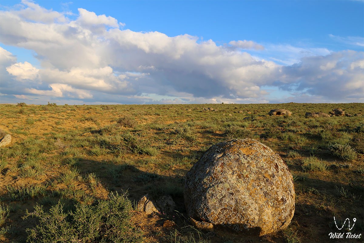
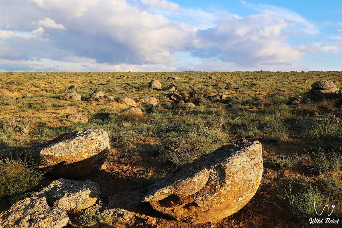
On the eastern flank of the Shomanay massif, fields of flawless spherical concretions resembling bowling balls are exposed, while the summit platforms of the outliers reveal dizzying 360-degree panoramas of the Aktau ridges. Today, the Airakty – Shomanay residual mountains are an iconic destination for photographers, drone pilots, researchers, and auto-travelers seeking monumental scales and cinematic perspectives of ancient Mangyshlak.
--------------------------------------------
How to get there and visit –
The Airakty massif (Shomanay Mountains) is situated in the Mangystau district, 14–18 km northwest of the district center – the settlement of Shetpe, 5 km east of the Ktairakty massif, 4 km southeast of the Akmyshtau massif, and approximately 14–16 km east of Mount Sherkala and the Akmysh tract. The distance from the city of Aktau is about 100 km in a straight line and roughly 170–180 km along motor roads (travel time takes 2–2.5 hours).
GPS geographical coordinates of the Shomanay massif:
44°15'23"N 52°05'04"E
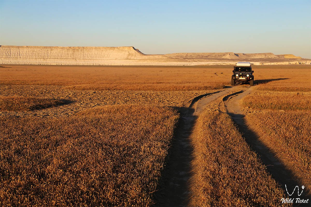
The primary route from Aktau passes northeast along the paved motorway of republican significance Aktau – Shetpe – Beyneu. Upon reaching the turnoff for Shetpe, turn north onto the regional road Shetpe – Shayyr. The Aktau – Beyneu railway line runs alongside the western and southwestern margins of the massif. Before reaching Sherkala, a compacted steppe graded road branches east off the asphalt, leading directly into the wide basin between the Shomanay and Airakty outliers.
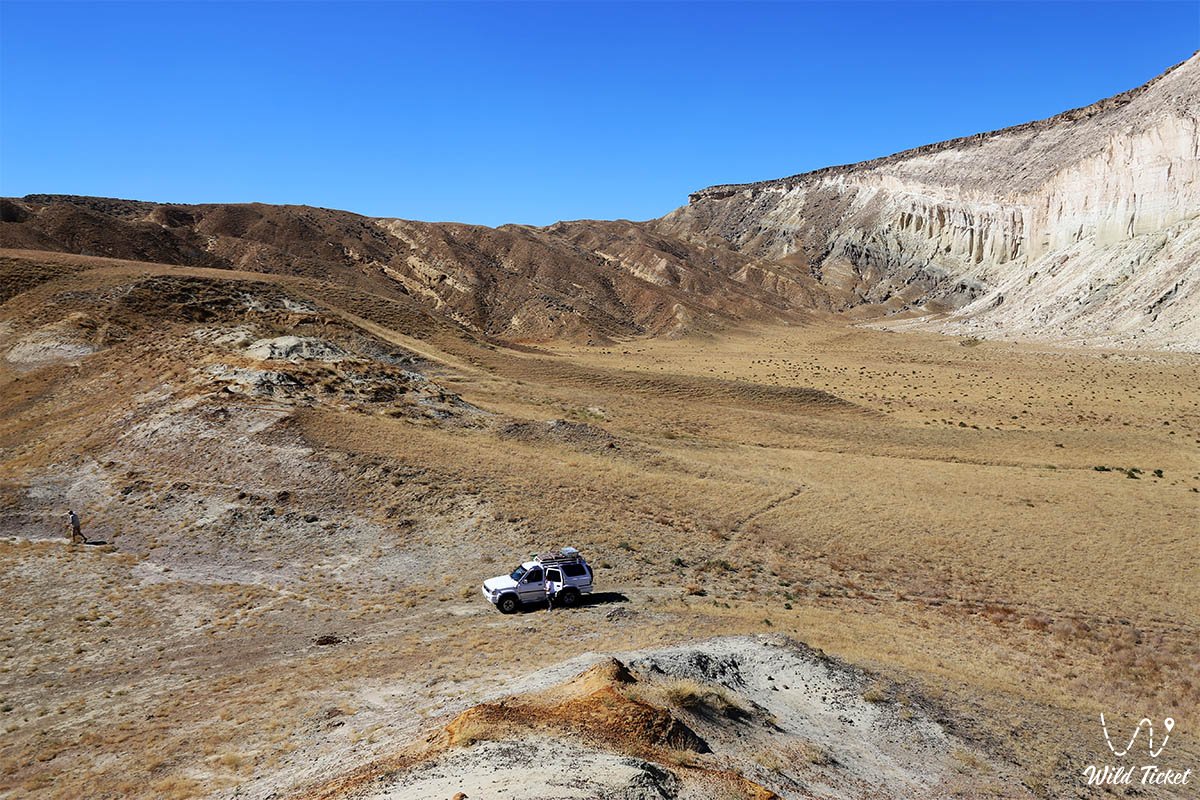
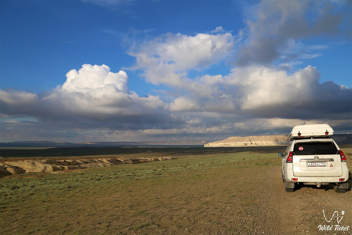
In dry weather, driving to the base of the main Airakty towers is feasible in an ordinary passenger car, sedan, or crossover. However, for a complete circular circuit around the 11-kilometer massif, traversing sectors of soft clay (saline mud sections following precipitation), and reaching distant concretion fields, a body-on-frame four-wheel-drive vehicle (4x4) with high ground clearance is strongly recommended.
Tourist infrastructure inside the valley itself is completely wild. The valley is ideally suited for setting up tent camps: spending the night at the foot of moonlight-illuminated chalk castles leaves an unforgettable impression.
For travelers who appreciate comfort, the year-round Kogez ethno-village is located just 10 km to the southwest, featuring traditional air-conditioned kazakh yurts, a restaurant, showers, a swimming pool, and Wi-Fi.
The nearest gas stations, supermarkets, pharmacies, and tire repair services operate in the settlement of Shetpe. There are no freshwater sources in the tract; therefore, personal drinking water reserves should be calculated based on a norm of no less than 4–5 liters per person per day.
For walking ascents to the viewing platforms atop the outliers, rigid trekking footwear with non-slip tread is required: the steep paths consist of loose chalk and marl scree. Scorpions, solifuges, and spiders are occasionally encountered at the base of the cliffs; therefore, when spending the night in tents, ensure the mosquito net is zipped shut and inspect shoes thoroughly before putting them on in the morning.
The best season to visit the Valley of Castles is spring (from mid-April to late May), when the basin is covered with a green carpet and delicate Sogdian tulips bloom, while the air is filled with warmth and the scent of wild herbs. Early autumn (September – October) likewise offers comfortable weather with soft golden light. In summer (July – August), extreme heat sets in over the open chalk expanses with temperatures reaching +40...+45 °C, while gale-force winds and frosts rage here in winter.
--------------------------------------------
History
The history of the Airakty – Shomanay mountain system is inextricably linked with the history of the Tethys Ocean, great nomadic migrations, and the scientific exploration of Mangyshlak in the 19th–21st centuries. Millions of years ago, this territory lay at the bottom of the ocean. Around 25 million years ago, powerful tectonic shifts uplifted the sea floor, turning it into dry land with a westward tilt of strata. Over hundreds of thousands of years, rain runnels and hurricane-force winds dissected the unbroken limestone plateau, sculpting deep canyons, fissures, and whimsical table-topped outliers. Geomorphologists estimate that the modern process of weathering continues, and within 5–7 thousand years these towers will collapse completely under the influence of erosion.
In antiquity, caravans of nomads and Silk Road merchants traveling along the northern trade branch from Khwarazm and Khiva toward Caspian trading posts passed these sheer outliers. According to local legends, merchants frequently hid caravan treasures within the rock labyrinths, and modern treasure hunters with metal detectors periodically unearth ancient coins and craft items at the base of the mountains. On smooth vertical slabs of sandstone at the foot of Airakty, several-hundred-year-old petroglyphs carved by Kazakh shepherds and hunters have survived: depictions of argali, saiga antelopes, horses, and symbolic marks of tribal tamgas.
The tract gained worldwide renown in May 1851 during the Karatau military-scientific expedition led by mining engineer Staff Captain A. I. Antipov. The exiled Ukrainian kobzar Taras Shevchenko and Polish writer and artist Bronisław Zaleski took part in this survey. Struck by the resemblance of the outliers to medieval European citadels, Zaleski christened this area "The Valley of Castles" (La Vallée des Châteaux), while Taras Shevchenko created a series of expressive watercolors and pencil sketches titled "Airakty" and "Valley of Castles," forever inscribing the tract into world artistic culture.
At the beginning of the 21st century, the tract experienced a cultural renaissance thanks to a project by well-known archaeologist Andrey Astafyev. To draw world attention to the fragile nature of Mangystau, the scientist used geodetic instruments and machinery to craft a collection of colossal surface geoglyphs across the valley's clay takyrs. The largest of them is a giant 150-meter-long "palm," inspired by sacred rock petroglyphs of the Shakpak-Ata underground mosque, along with drawings of a centaur and steppe animals, distinguishable only from the summits of the outliers or from outer space.
Information
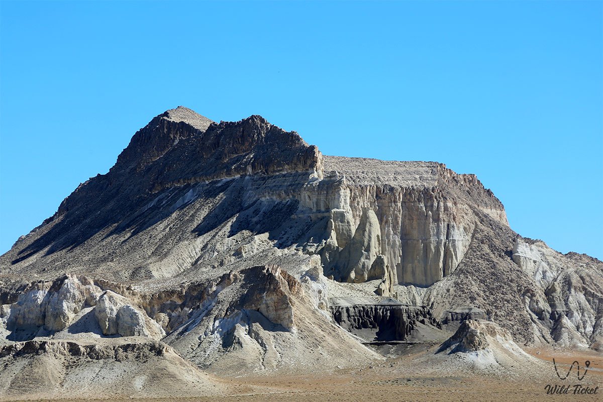
Geomorphologically, Airakty – Shomanay represents a complex system of erosional table-and-outlier mountains of the chink type, towering over an aggradational plain. The length of the massif is 11 km, with a width of up to 6 km. The northeastern slopes of the Shomanay massif directly border the southern precipices of the Northern Aktau ridge; the Eastern Karatau ridge rises 3 km to the southeast, and the Western Karatau ridge lies 10 km to the southwest.
Elevation dominants of the area:
1. Highest point of the Shomanay massif – an unnamed peak in the southern part with an elevation mark of 368–370 meters above sea level.
2. Mount Zhapyrakty – a southern outlier with a flat summit standing 363.8–365 meters above sea level.
The relative prominence of the rock bastions above the surrounding plain ranges from 120 to 180 meters.
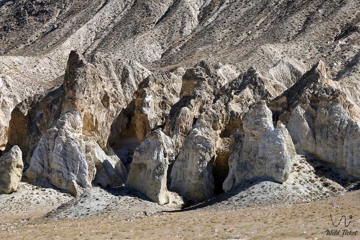
The geological cross-section of the outliers clearly reflects the sedimentary chronicle of the Mesozoic and Cenozoic. The base is formed of dazzling white writing chalks and marls of the Turonian and Senonian stages of the Upper Cretaceous. Above lies a durable bed of Paleogene yellowish-gray sandstones and dense oolitic coquina limestones. This hard limestone shell ("armor") shields the softer underlying chalk strata from rapid denudation: cracking along vertical joint fractures, the slabs shear away, exposing sheer cliffs, pylons, and Gothic spires.
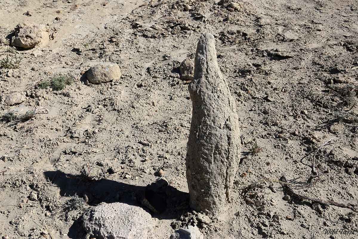
Scree slopes at the foot of the outliers yield abundant paleontological finds: fossil teeth of Paleogene sharks (including Otodus), ray plates, belemnite rostra ("devil's fingers"), mollusk casts, and sea urchin tests from the ancient Tethys Ocean. Along the eastern side of the Shomanay ridge lies an outcrop of spherical sandstone concretions of flawless spherical geometry, similar to the formations of the Torysh tract.
The climate is sharply continental and arid desert. In summer, temperatures under the sun rise above +45 °C, causing intense thermal peeling of the limestone. In winter, temperatures fall below -20 °C amid gale-force winds.
Detailed description of the venue
The landscape, historical, and geological complex of Airakty – Shomanay includes the following key natural and human-made locations:
• Rock towers and fortress walls of Airakty – a chain of monumental white and buff-colored outliers with sheer smooth walls crowned by weathering crests, cornices, crenelated parapets, and Gothic spires.
• Panoramic summit viewing terraces – flat plateau-like platforms on the outliers, reached via winding scree trails. The viewpoints open onto a circular panorama of the labyrinth of the Valley of Castles, the cone of Sherkala, and the distant white ranges of Northern Aktau.
• Spherical concretion fields of Shomanay – a unique sector along the eastern foot of the ridge where erosion has washed dozens of perfectly round stone spheres of regular spherical shape from the sand, resembling giant bowling balls.
• Gallery of geoglyphs by Andrey Astafyev – large-scale modern geoglyphs across the clay plains between the mountains, including a colossal 150-meter Sufi "palm," a centaur, and argali, clearly visible from cliff heights and on satellite images.
• Gallery of ancient shepherd petroglyphs – rock engravings on sandstone slabs at the base of the cliffs depicting saigas, mouflons with curved horns, galloping riders, camel caravans, and a steppe locomotive ("shaitan-arba").
• Wind-carved cirques, canyons, and labyrinths – deep erosional corridors between the towers creating unique acoustics and cinematic perspectives for photography from the ground and quadcopters.
• Summits of Shomanay and Zhapyrakty – the highest points of the massif (368–370 m and 363.8 m), serving as ideal natural triangulation and panoramic observation points across Central Mangyshlak.
Flora and fauna
The plant cover of the Airakty – Shomanay tract demonstrates striking seasonal dynamics. During the moist spring (April – May), the baked clay is transformed: the steppe around the chalk castles is blanketed in a carpet of delicate and fragrant Sogdian tulips (Tulipa sogdiana), two-flowered tulips, wild irises, ferula, and Lessing's feather grass. By July, vegetation burns out, leaving only drought-resistant dwarf subshrubs on the open plains: gray-soil wormwood, Lerche's wormwood, biyurgun, boyalych, eastern saltwort, and camelthorn (dzhantak).
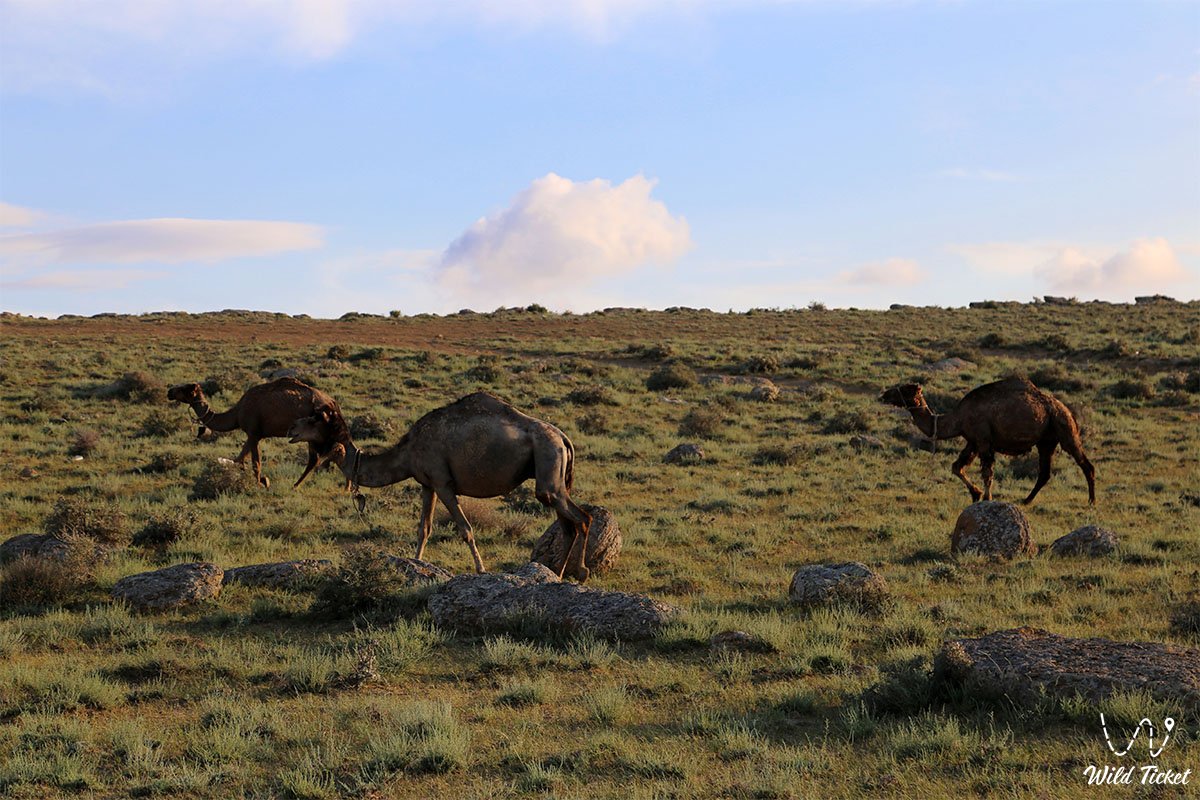
The animal kingdom is rich in denizens of arid mountains and deserts. Along the steep rock cornices and remote terraces of Shomanay, rare wild mouflons (Ustyurt mountain sheep), listed in the Red Book of Kazakhstan, move gracefully. Across the intermontane plains graze herds of semi-feral Aday horses and camels, while saiga antelopes, tolai hares, corsac foxes, steppe polecats, badgers, and numerous colonies of jerboas and gerbils are found.
Birds are represented by large raptors nesting in the fissures of the white walls: golden eagles, steppe eagles, long-legged buzzards, saker falcons, kestrels, and eagle owls. Calls of chukar partridges and desert wheatears are heard constantly along the scree slopes.
The herpetofauna includes the Central Asian tortoise, fast steppe agama, toad-headed agama, dione snake, arrow snake, and venomous Halys pit viper. Scorpions and solifuges find shelter in rock crevices and under stones, demanding care from travelers when setting up camp.
Legend
An ancient Kazakh legend regarding a grand caravan and a lost treasure of gold is linked to the whimsical castles of Airakty.
Tradition recounts that during the heyday of the Silk Road, an exceedingly wealthy merchant caravan from Bukhara and Samarkand journeyed through the valley between the Aktau ridges. The merchants carried tribute destined for distant tsars in golden chests: precious stones, Chinese silk, and rare oriental spices. Fierce steppe raiders, far outnumbering the merchants, ambushed the caravan trail.
Fleeing pursuit, the caravan leader ordered his train deep into the labyrinth of white cliffs. Realizing that escaping a mounted chase burdened with heavy cargo was impossible, the caravaneers dug a deep secret cave in the base of one of the chalk castles over the course of a single night, hid all the treasures within, and sealed the entrance with giant round stone concretions.
When the raiders surrounded the merchants, the caravan leader raised a prayer to the Creator: "O Almighty, let our bodies become an eternal wall rather than let enemies take possession of the wealth entrusted to us!" In that very moment, an unprecedented storm erupted, lightning struck the crags, and the caravan along with its sentries turned into giant towers and spires, while the cannonballs cast by the raiders petrified into clusters of round concretions. Ever since, a belief lives among the people: the hidden caravan treasure will reveal itself only to one who comes to the Valley of Castles not for gain, but with a pure heart to defend the sacred beauty of the steppe.
Conclusion
The Airakty – Shomanay residual mountains are a natural masterpiece resembling human architecture, where the snow-white chalk castles of Taras Shevchenko and Bronisław Zaleski meet the colossal geoglyphs of the 21st century. Traveling through the labyrinths of the Valley of Castles allows travelers to experience the infinite expanse of the Kazakh semi-desert, uncover ancient fossils from the extinct Tethys Ocean, enjoy the fragrance of Sogdian tulips, and take away stunning photographs of Mangystau's otherworldly beauty.
Interesting sights nearby:
• Mount Sherkala ("Lion's Fortress");
• Akmysh Tract and Relict Garden;
• Medieval City of Kyzylkala;
• Torysh Valley of Spherical Concretions;
• Kokkala Tract;
• Kogez Yurt Camp-Aul;
• Mountain ridges of Northern Aktau and Western Karatau;
• Bozzhira Tract;
• Mount Bokty;
• Kyzylkup Tract (Tiramisu);
• Ustyurt Plateau;
• Karynzharyk Desert Depression.
Sacred sights and pilgrimage destinations:
• Otpan-Tau Memorial Complex;
• Karaman-Ata Underground Mosque;
• Shakpak-Ata Rock Mosque;
• Sultan-Epe Underground Mosque;
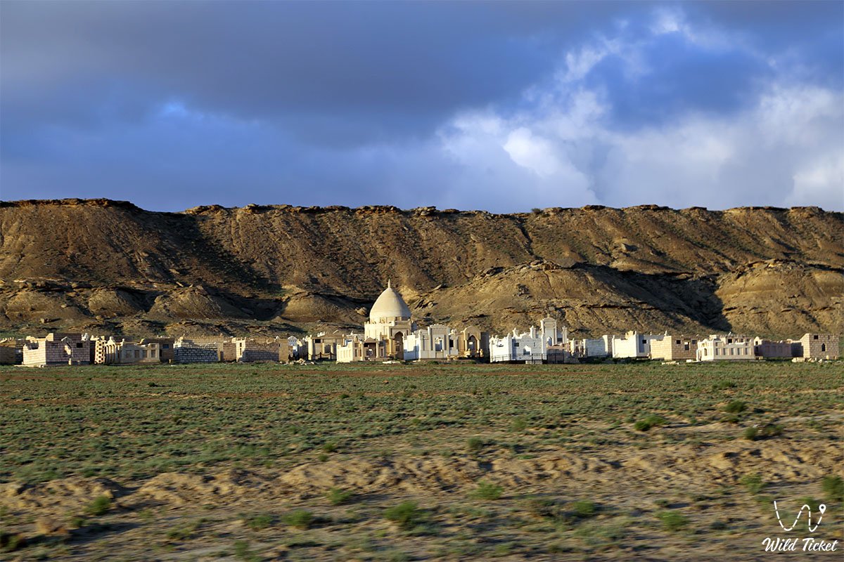
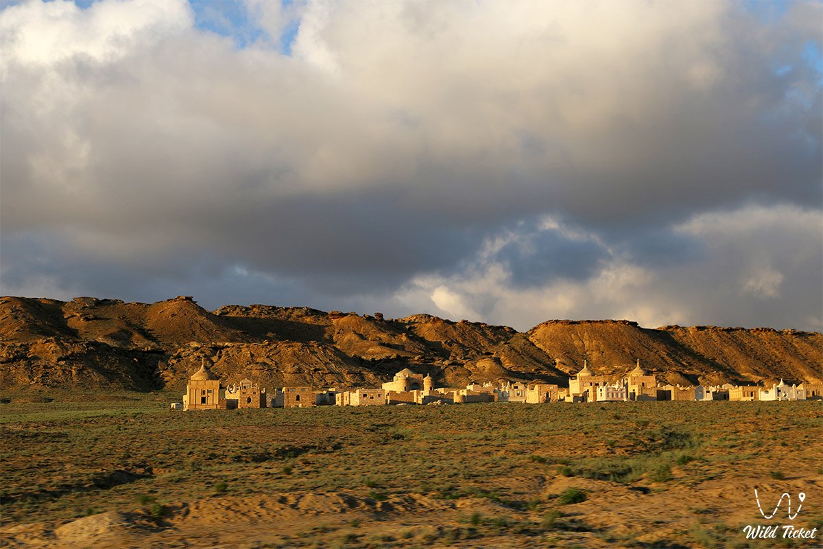
• Kenty-Baba Necropolis and Underground Mosque;
• Khanga-Baba Necropolis;
• Shopan-Ata Underground Mosque;
• Beket-Ata Underground Mosque;
• Koshkar-Ata Necropolis;
• Pantheon of Kazakh Batyrs Sisem-Ata Necropolis;
• Masat-Ata Underground Mosque;
• Masat-Ata Necropolis;
• Uytoly-Ata Underground Mosque.
Photogallery: