Экскурсия по городу Астана (сити тур)
Астана - столица Казахстана. Город расположен в северной части страны посреди казахской степи на берегу реки Ишим. Это второй по величине город в стране после Алматы. За последнее время город несколько раз менял название. С 1998 по 2019 год он назывался Астана, ранее с 1992 по 1998 год Акмола, с 1961 по 1991 год - Зелиноград, до этого Акмолинск.
Город был основан как русская крепость в 1830 году. В 1950-х годах это место стало центром советской кампании за освоение пахотных земель. Это привело к изменению городского пейзажа и ускорению развития города.
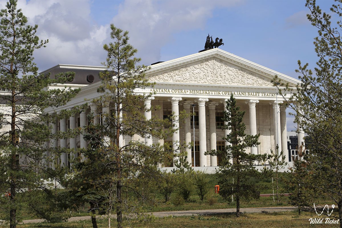
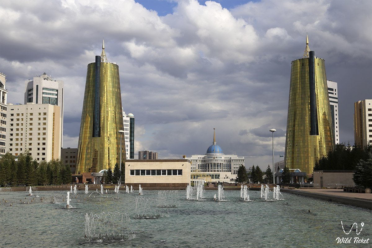
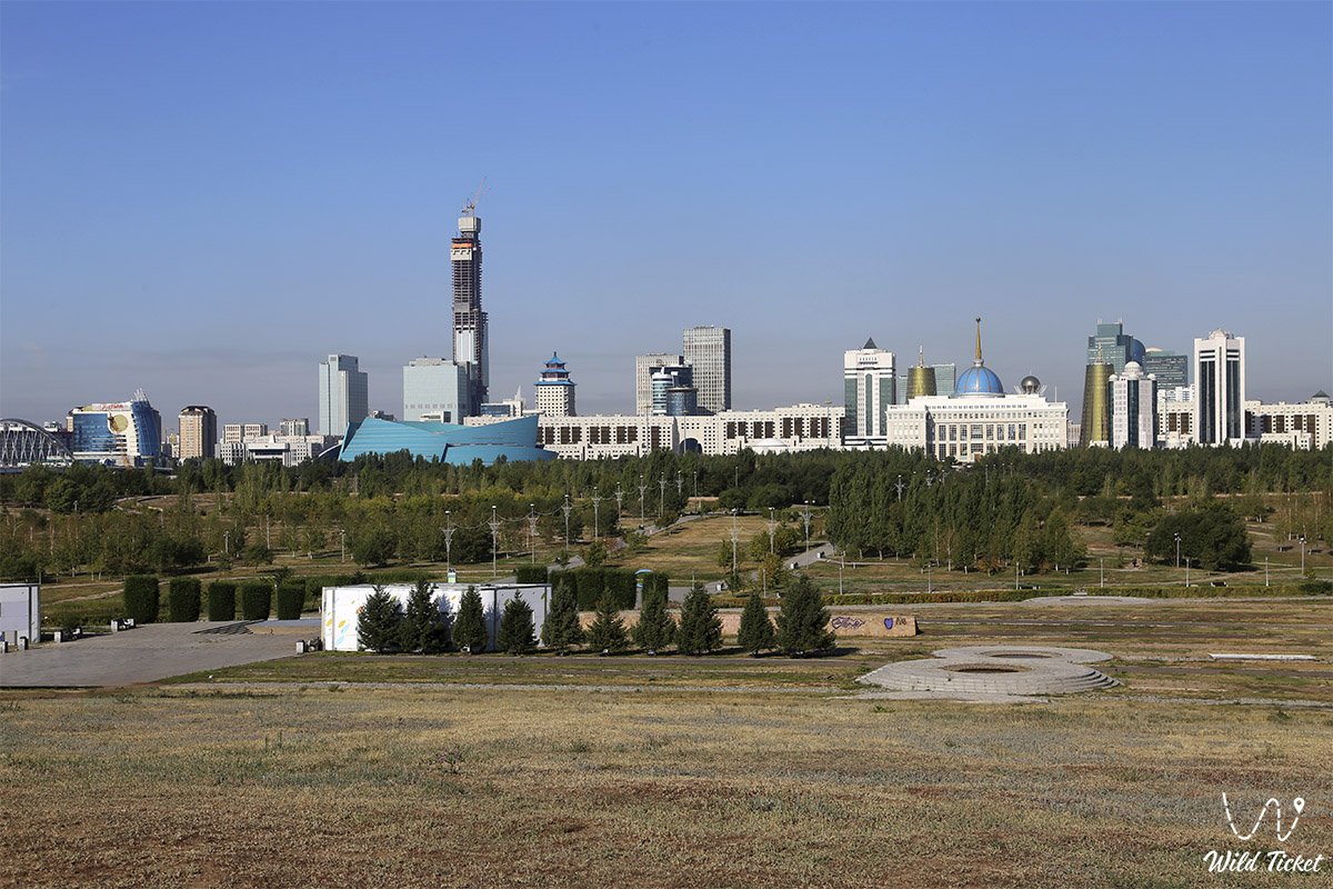
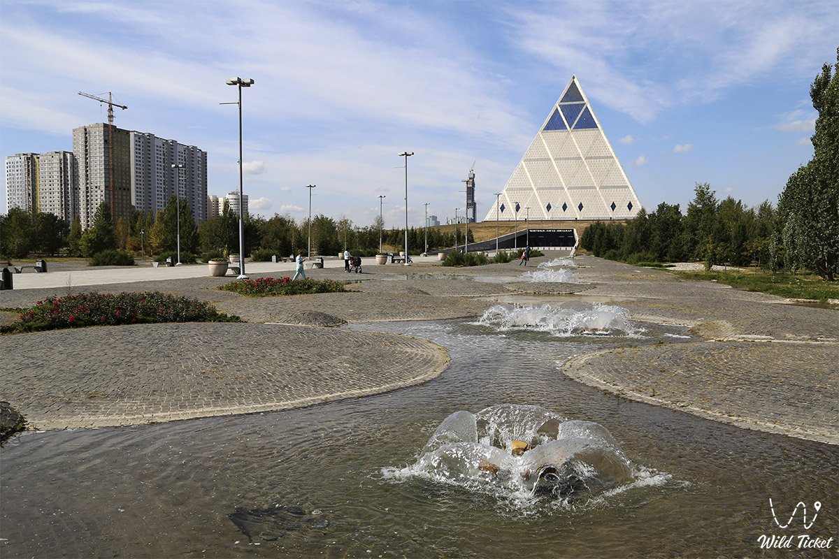
После обретения Казахстаном независимости от Советского Союза было решено перенести столицу, сделав город запланированной столицей 10 декабря 1997 года. На юге города тогда был построен современный правительственный район с яркими зданиями, такими как Башня Байтерек, Хан Шатыр или Пирамида Мира и Единства.
- Расстояние:
5 км
- Сезон:
круглогодично
- Лучшее время:
круглогодично
- Группа:
до 12 человек
- Дней\ночей:
1 день
Расписание:
Во время экскурсии по столице Казахстана, первым делом мы посетим новый национальный музей истории, который был построен в летом 2014 года, затем мы отправимся к символу города Астана, называющемуся «Байтерек». Высота башни составляет 105 метров, она расположена на площади Независимости.
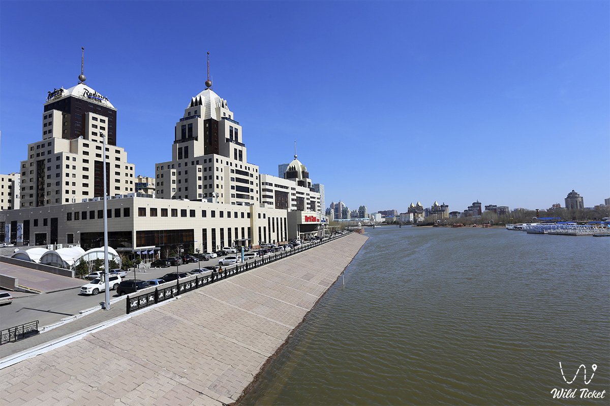
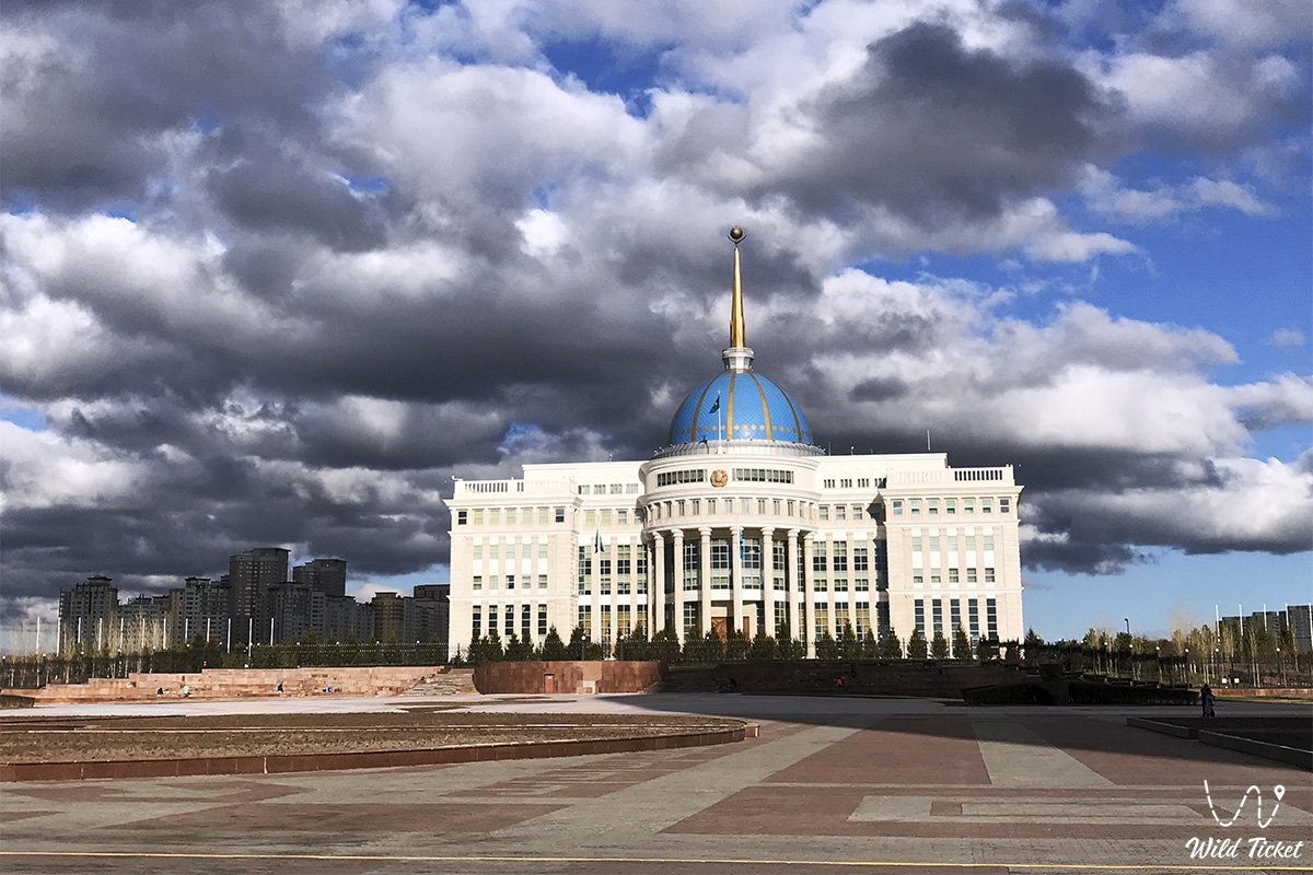
С высоты «Байтерека» открывается красивый вид на центр города, от президентского дворца до ТРЦ «Хан-Шатыр». Далее, нас ждет прогулка по набережной реки Иртыш, после которой мы посетим парк, где находится карта уменьшенных копий исторических и природных памятников Казахстана, под названием «Атамекен».
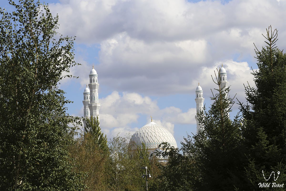
Закончив рассматривать экспонаты, мы едем в главную мечеть Астаны, которая называется «Нур-Астана», а затем посетим кафедральный собор в честь Успения Пресвятой Богородицы. Посетив священные места, мы заедем к памятнику жертвам репрессий. В конце экскурсии нас ждет поход в океанариум, который располагается в развлекательном центре «Думан».
Акмола начинает свою историю с 1830 года, когда в урочище Карауткуль было начато строительство крепости Акмола. В середине первого тысячелетия до нашей эры через эти степи пролегал так называемый путь через Великую степь, упоминаемый древнегреческим историком Геродотом. Впоследствии он трансформировался в широко известный Великий Шелковый путь.
Акмола и в XIX-м столетии была крупным торгово-экономическим центром степи. 16 июля 1863 года Акмола официально была объявлена окружным городом. 21 октября 1868 года согласно "Временному положению по управлению в степных областях Оренбурга и Западно-Сибирском генерал-губернаторстве" была учреждена Акмолинская область с центром в Омске.
Омск к тому времени являлся центром Западно-Сибирского генерал-губернаторства. Есть предположение, что Акмолинская область была названа так потому, что в перспективе центр планировали перенести в Акмолу. Эти предположения подтверждает тот факт, что в 1879 году генерал-майор Дубельт представил в МПС России проект строительства железной дороги Тюмень - Акмолинск.
Первые 30 лет население Акмолы составляло немногим более 2 тысяч человек. В изданном в 1893 году в Санкт-Петербурге сборнике "Волости и населенные места Акмолинской области" отмечалось, что Акмолинск - уездный город с населением 6 428 душ, в нем 3 церкви, 5 школ и училищ, 3 завода. Вторым, наиболее важным этапом в развитии города стало освоение целины.
В декабре 1960 года город с населением около 100 тысяч жителей стал центром Целинного края, куда входили все северные области Казахстана. Вскоре, в 1961 году Акмолинск был переименован в Целиноград. С упразднением в 1971 году Целинного края Целиноград стал центром области. В 1992 году городу вернули его прежнее название - Акмола.
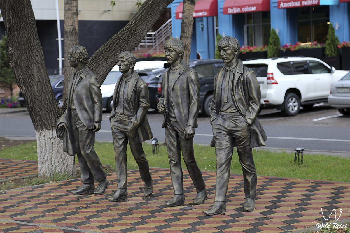
Фотогалерея: