Medieval trade bastion of Khwarazm and outpost of the Silk Road –
The Kyzylkala Settlement (Kaz. Qyzylqala, translated as "Red City") represents an outstanding medieval archaeological complex of the 10th–13th centuries, a one-of-a-kind monument of settled urban culture on the Mangyshlak Peninsula, located in the Mangystau district of the Mangystau region.
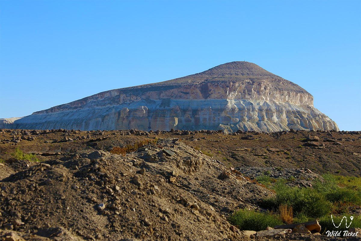
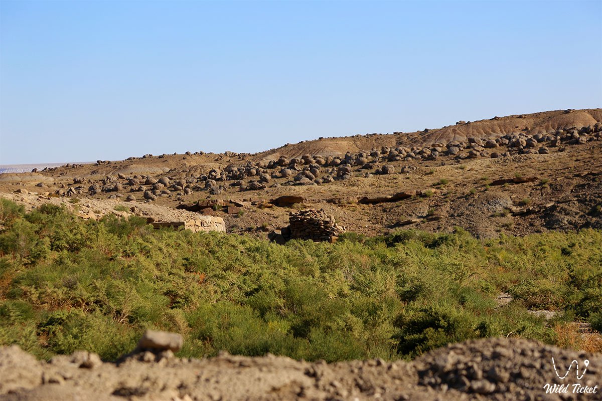
The ruins of this ancient bastion sprawl across a flattened piedmont elevation in a picturesque basin between the mountain ridges of Northern and Western Aktau, just 200 meters south of the shaded spring Akmysh oasis and 1.7 kilometers southwest of legendary residual Mount Sherkala ("Lion's Fortress").
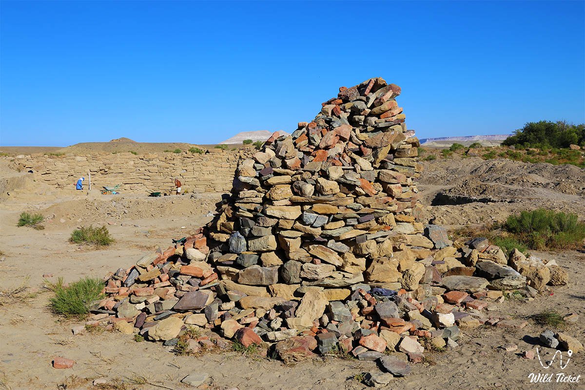
The settlement received its name, "Red City," because its entire modern surface is literally strewn with thousands of terracotta shards of fired pottery, fragments of red plinthite, and crushed brick. Founded in the 10th century by Khwarazmians as a strategic outpost on the northern branch of the Great Silk Road, the city connected the states of Central Asia with the Volga region, Rus, and the Caspian coast.
In historical scholarship, there is a well-founded assumption that in medieval Arabic and Persian chronicles, Kyzylkala figures as the impregnable fortress Mankyshlak, which translates as "Large Settlement."
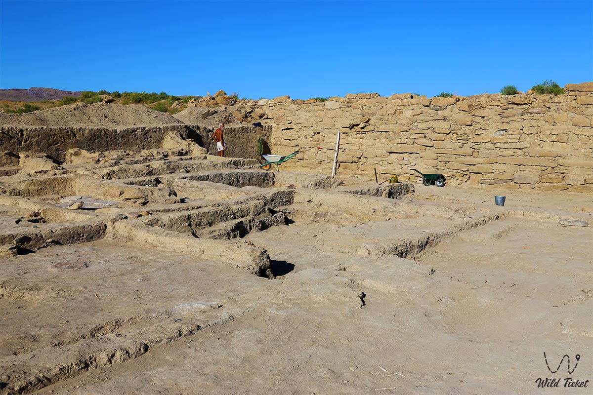
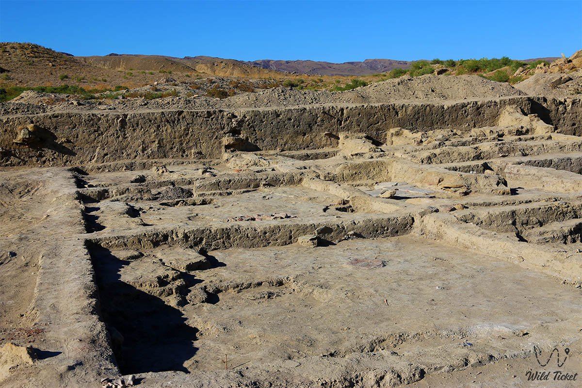
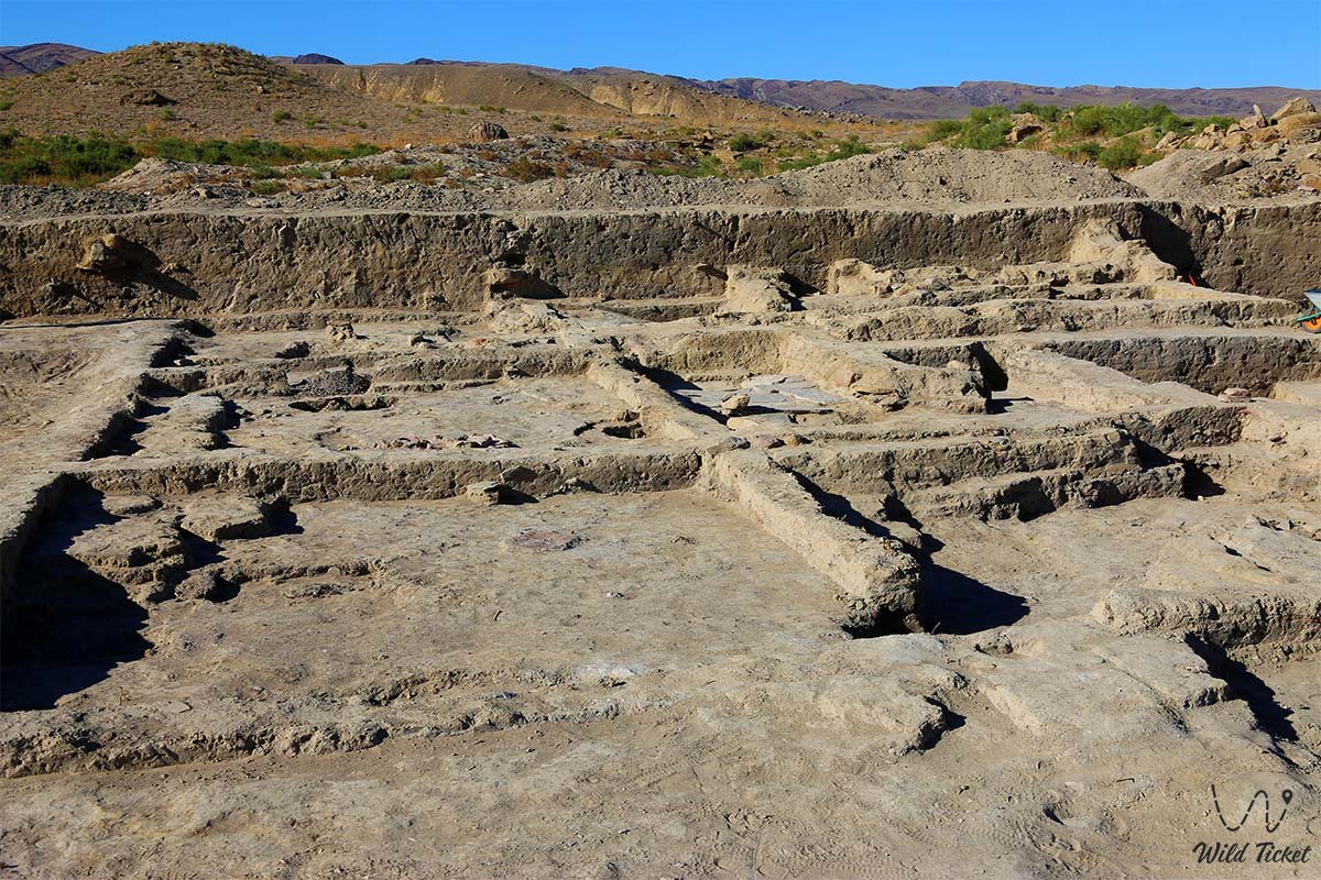
The settlement spreads over an area of 50 to 70 hectares along two stream channels that merge into a single bed in the north. A powerful quadrangular citadel-fortress rose at the center of the urban complex, protected by shell-type stone walls up to 3 meters high and thirteen protruding semicircular towers. Beyond the citadel extended an expansive craft and trade rabad, where archaeologists have uncovered more than 200 stone foundations of estates, caravanserais, metallurgical kilns, and jewelry workshops where artisans mastered the technique of gilding bronze using amalgam.
Kyzylkala was included in the list of 100 sacred places of Kazakhstan, and in 2012 it was inscribed on the UNESCO World Heritage Tentative List as part of the Silk Road heritage monuments. Today, the settlement is a mandatory destination for educational cultural tourism, forming a unified excursion hub alongside Mount Sherkala, the Akmysh-Say oasis, Samal Gorge, and the Airakty valley of castles.
--------------------------------------------
How to get there and visit –
The Kyzylkala Settlement is situated in the central mountainous part of the Mangystau region, 16–17 km northwest of the district center – the settlement of Shetpe, 1.7 km southwest of Mount Sherkala, just 320 meters west of the paved Shetpe – Shayyr highway, and approximately 170 km northeast of the regional center, the city of Aktau in Kazakhstan. The drive takes 2–2.5 hours.
GPS geographical coordinates of the Kyzylkala Settlement:
44°14'48"N 51°59'13"E
The main driving route from the city of Aktau leads northeast along the paved motorway of republican significance Aktau – Shetpe – Beyneu. Upon reaching the turnoff for the settlement of Shetpe (which can also be reached by passenger train from Aktau), turn north onto asphalt toward the village of Shayyr. About 1.7 km before reaching the Mount Sherkala massif, the earthen ramparts and archaeological excavations of the settlement appear on the left side of the highway (320 meters away).
In dry weather, approaching the perimeter of the rabad and citadel is possible in any standard passenger car or crossover. However, continuing the journey along dirt tracks toward the chinks of Airakty-Shomanay, the variegated clays of Kokkala, Samal Gorge, or the Torysh Valley of Balls strongly requires a four-wheel-drive vehicle (4x4) with high ground clearance.
Infrastructure at the archaeological site itself is absent: the monument is an open-air excavation museum. Comfortable overnight accommodations are available 3–5 km from the settlement at the Kogez ethno-village, which offers air-conditioned Kazakh yurts, showers, a restaurant, and a swimming pool. Basic gas stations, supermarkets, pharmacies, and tire repair shops operate in the settlement of Shetpe. Fresh spring water can be drawn from the brook of the Akmysh oasis (200 meters to the north), though raw water should be allowed to settle and boiled prior to drinking.
The settlement is a monument of republican significance with a fragile cultural layer.
It is strictly forbidden to carry out unauthorized excavations, use metal detectors, damage excavated stone masonry, or drive vehicles onto the grounds of uncovered homesteads. When walking among the ramparts, watch your step carefully: scorpions, solifuges, and black widow spiders (karakurt) dwell among stones and clay fissures.
The best season to visit is spring (from late April to early June), when the steppe around the excavations blooms and is covered in greenery while temperatures remain comfortable, as well as early autumn (September – October). During summer months, midday heat on the open clay excavations climbs to +40...+45 °C; therefore, exploring these antiquities is best planned for morning or evening hours.
--------------------------------------------
History
The history of the Kyzylkala Settlement is inextricably linked to the zenith of transcontinental commerce and the policies of the Khwarazmshahs in controlling northern steppe routes. The town was founded in the final third or quarter of the 10th century as a transit staging post, customs station, and border garrison guarding trade caravans against raids by nomadic Oghuz and Pecheneg tribes.
Thanks to the confluence of two spring channels from the Akmysh tract and natural defenses provided by the cliffs of Karatau and Aktau, Kyzylkala expanded swiftly from a fortified caravanserai into the largest trade and craft center of the peninsula. Alongside merchants and administrative officials, a substantial stratum of settled artisans emerged here: blacksmiths, coppersmiths, potters, and glassmakers. Jewelry workshops operated in the city, producing bronze and silver ornaments inlaid with semi-precious stones (carnelian, Badakhshan lapis lazuli, nephrite jade, rock crystal) and employing advanced fire-gilding techniques using mercury amalgam. Finds of numerous millstone fragments and iron sickles demonstrate that irrigated agriculture was practiced in the valley: wheat, barley, and melons were cultivated.
The geographic reach of Kyzylkala's trade ties was immense. Archaeological surveys have uncovered items demarcating the commercial borders of half the known world at the time: Iranian glazed tableware, Egyptian and Indian glass beads, Chinese nephrite and celadon porcelain, Mediterranean corals, and Baltic amber. During winter months, neighboring nomads gathered at the fortress walls, setting up their felt yurts around the rabad for seasonal trade.
The chronicle of urban life reveals five construction horizons and nine remodeling phases. According to archaeologist Andrey Astafyev, the city withstood at least two major enemy sieges and assaults during its history, as evidenced by arrowheads and ash layers. A fatal turning point came in 1221, when the armies of Genghis Khan's eldest son, Jochi, destroyed the city's fortifications during the Mongol invasion. In the Golden Horde era, the fortress was partially utilized, but the shift of caravan paths toward maritime routes and expanding navigation led to Kyzylkala's complete abandonment by the late 13th or early 14th century.
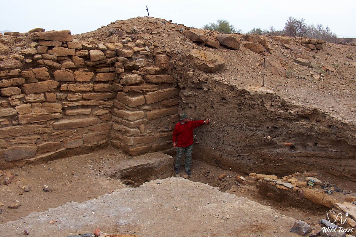
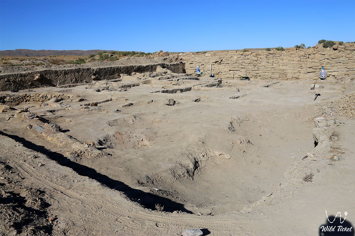
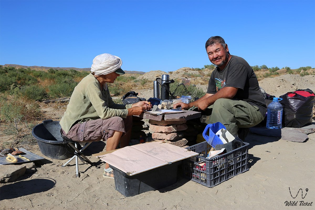
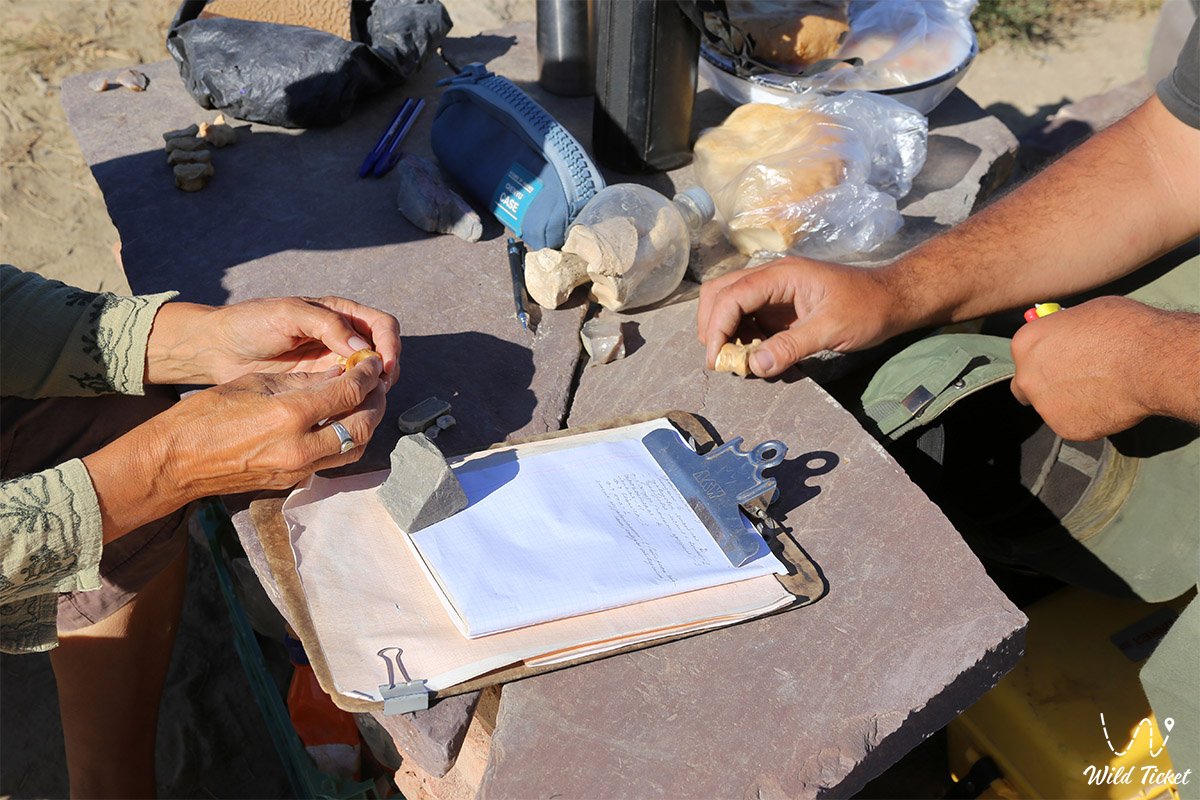
The earliest records of the ruins were compiled by 19th-century researchers, including participants of the 1851 Karatau expedition Taras Shevchenko and Bronisław Zaleski. Full-scale scientific excavations unfolded in the 2000s under an expedition from the A. Kh. Margulan Institute of Archaeology led by Andrey Astafyev, which exposed fortress walls to a depth of two meters, excavated towers, and surveyed hundreds of residential homesteads.
Information
Geomorphologically, the Kyzylkala Settlement occupies a wide structural terrace at the confluence of mountain ravines. The main urbanized area extends from north to south for 700 meters with a width of 400 meters along two stream channels 15–20 meters wide and up to 5 meters deep. The eastern channel (Akmysh spring) supplied the town with fresh water. The total area of the monument, including suburbs and the agricultural periphery, reaches 50–70 hectares.
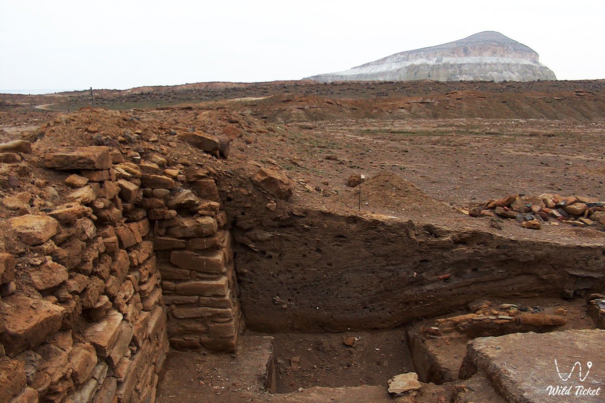
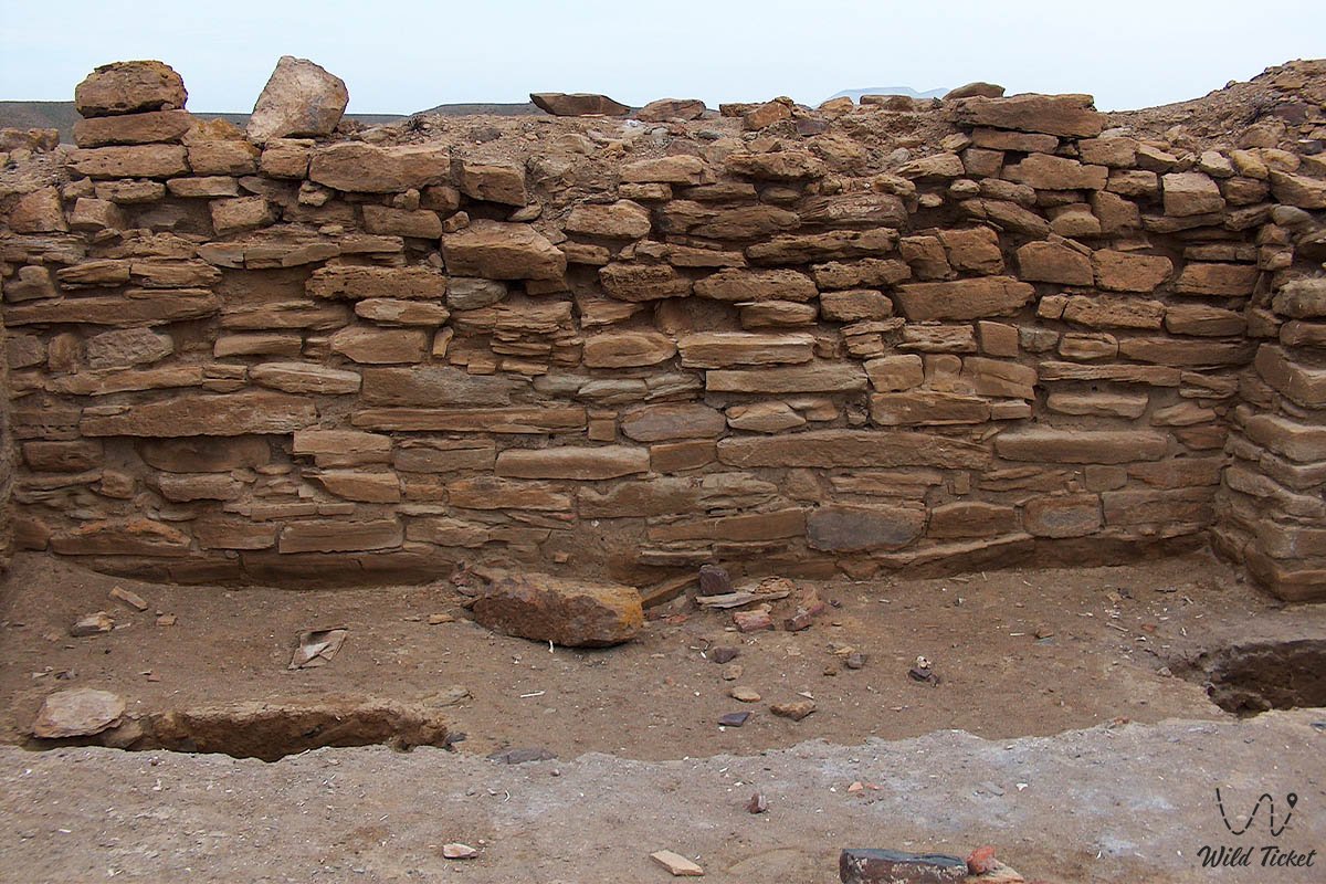
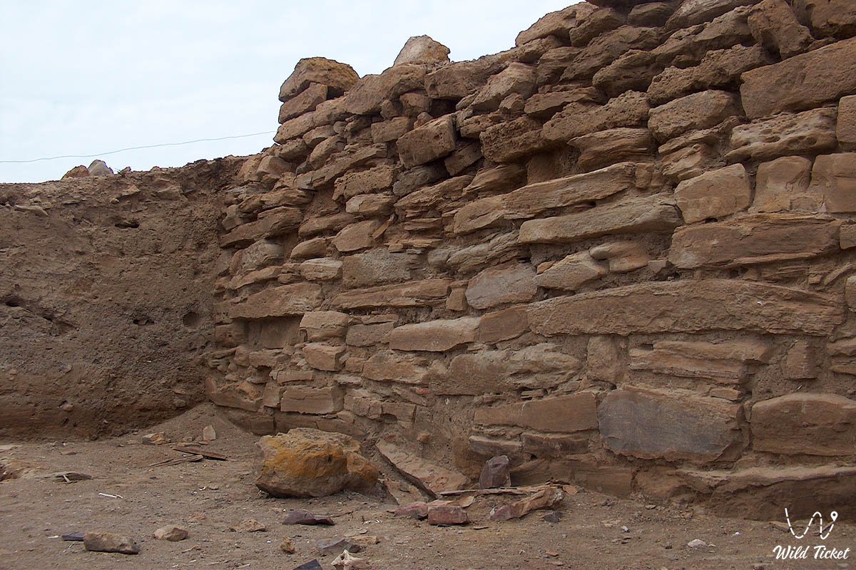
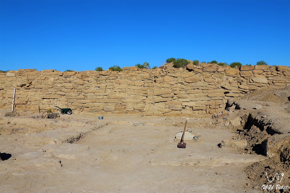
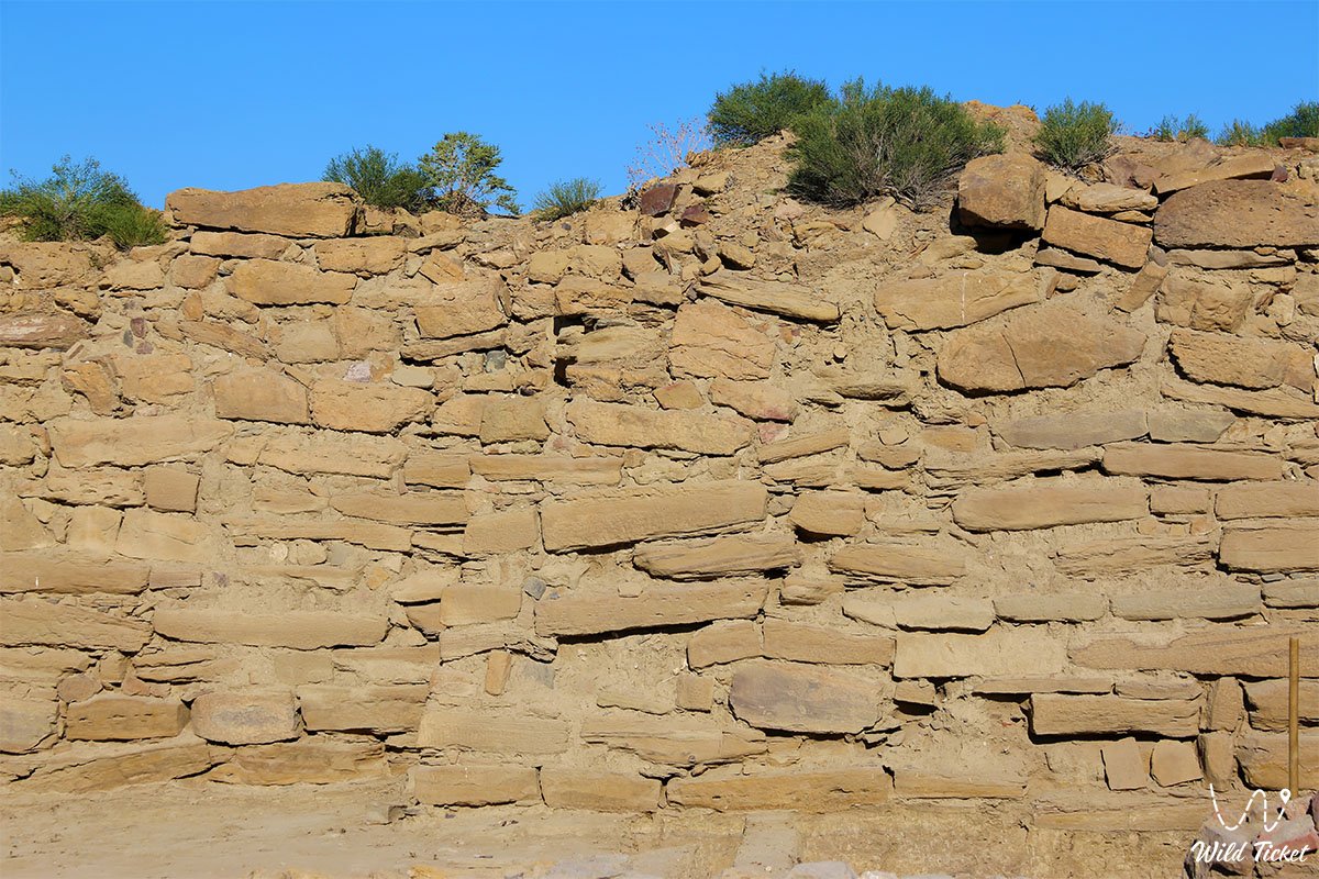
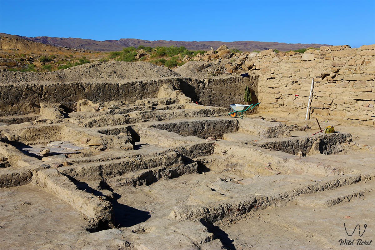
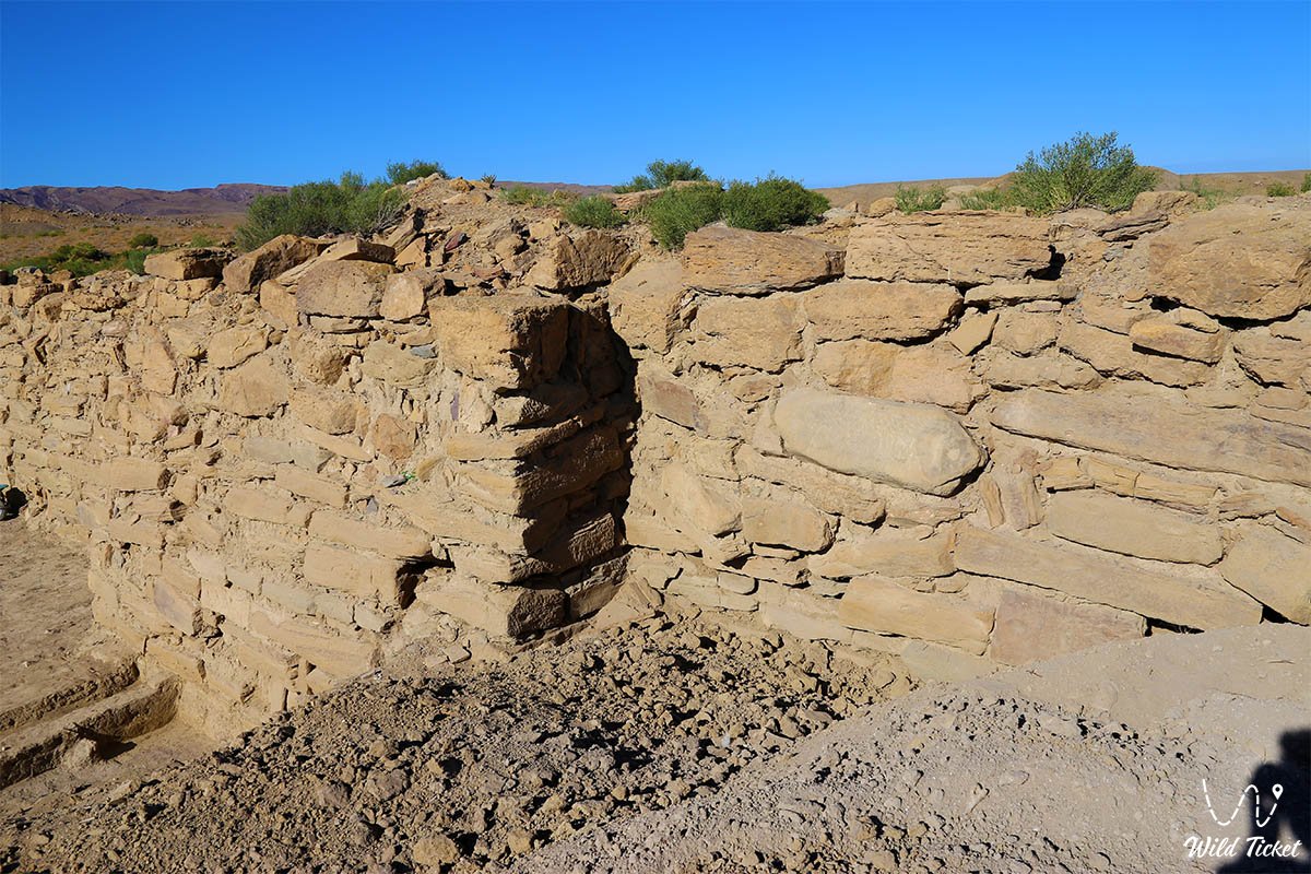
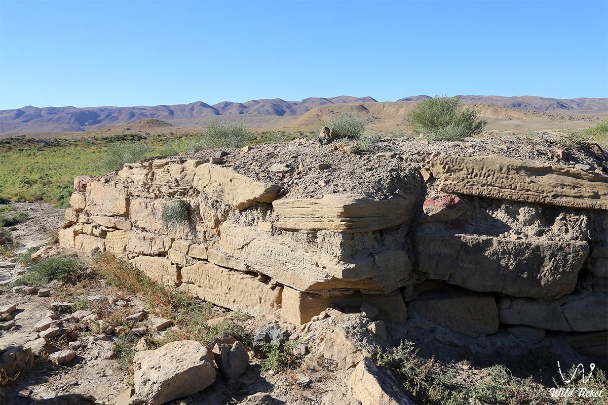
The defensive complex of the citadel forms a rectangle with shell-type stone walls 1.2 to 2 meters thick, constructed of large coquina slabs and blocks bonded with clay mortar and rubble fill. An earthen rampart up to 3 meters high survives along the perimeter. Citadel defenses include 13 semicircular watchtowers: four corner towers and two intermediate towers along each curtain wall. The towers measure up to 5 meters in width and project 0.6–1 meter outward, providing flanking fire coverage along the base of the walls.
The main city gates were situated in the central section of the northwestern wall. They featured an intricate layout with an offset alignment between two flanking towers, creating a narrow L-shaped diagonal passageway that prevented attackers from delivering a direct battering-ram strike.
The civilian settlement complex (rabad) comprises over 200 documented stone foundations of residential and utility structures. Houses were built of mudbrick and pakhsa clay upon stone plinths, featuring clay-plastered sufa benches for sleeping, integrated tandoor hearths, and storage pits for grain.
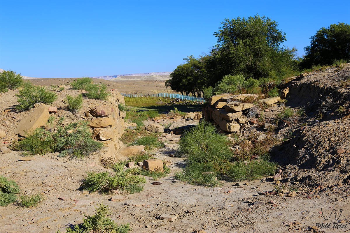
Water supply across the settlement was managed through an aryk irrigation network and ceramic pipelines constructed of terracotta pipes (kuburs) that conveyed water from the upper reaches of the Akmysh and Samal Gorge springs.
The climate of the area is sharply continental and semi-arid. Archaeological trenches are exposed to intense wind deflation, thermal cracking, and rare yet destructive spring mudflows descending from the Karatau Mountains.
Detailed description of the venue
The archaeological complex of the medieval city of Kyzylkala encompasses the following architectural and functional zones:
• Stone citadel wall and defensive ramparts – an excavated 2-meter-deep segment of a monumental fortress wall built of dressed coquina, alongside a massive earthen rampart up to 3 meters high delineating the citadel perimeter.
• Complex of thirteen watchtowers – projecting semicircular stone bastions up to 5 meters wide around the fortress perimeter, serving as firing platforms for archers and missile throwers.
• Northwestern main gate – a fortified entryway featuring a diagonal passage between two offset towers, allowing inspection of merchant caravans and providing all-around defense of the entrance.
• Craft and commercial rabad – an expansive suburban settlement covering up to 50 hectares with remains of over 200 homesteads, deposits of slag, ceramic shards, millstones, and domestic animal bones.
• Jewelry and metallurgical workshops – excavated production kilns and crucibles where archaeologists discovered evidence of copper and iron smelting, alongside sophisticated amalgam gilding technology.
• Urban caravanserai – foundations of a large inn featuring an inner courtyard, corrals for pack animals, and storage rooms for transit cargo.
• Ancient aryk network and ceramic water pipelines – irrigation channels and ceramic kubur conduits in stream beds that supplied city quarters with potable water from the Akmysh spring.
Flora and fauna
The plant cover across the settlement grounds is typically steppe and semi-desert, contrasting sharply with the dense arboreal verdure of the Akmysh oasis just 200 meters to the north. Earthen ramparts and stone foundations are overgrown with gray-soil wormwood, biyurgun, boyalych, eastern saltwort, and spiny dzhantak (camelthorn). In spring, clay flats are carpeted with ephemeral mixed grasses: delicate Sogdian tulips, two-flowered tulips, steppe feather grass, and desert irises, which dry up under the sun by early summer.
The fauna is represented by steppe species that find shelter among ancient masonry and burrows. Isabelline wheatears, desert larks, hoopoes, Asian desert finches, and chukar partridges nest within the ruins. Above the site soar birds of prey: steppe eagle, long-legged buzzard, kestrel, and saker falcon, scanning for prey against the white cliffs of Sherkala.
Mammals inhabiting the excavation area include the tolai hare, corsac fox, steppe polecat, long-eared hedgehog, badger, and numerous colonies of gerbils and jerboas. At night, wolves and jackals descend from the Karatau foothills to drink at the brook.
The herpetofauna is rich in reptiles: agile steppe agama, toad-headed agama, Caspian gecko, sand boa, dione snake, and Central Asian tortoise live here. Solifuges, scorpions, and venomous karakurt spiders hide in foundation crevices and beneath stones.
Legend
An ancient Kazakh legend concerning a golden caravan and the subterranean river of Sherkala is linked to the fall of the wealthy Red City.
Tradition recounts that during the reign of the Khwarazmshahs, Kyzylkala was a fabulously wealthy city where merchants weighed gold by the pood in bazaars, and fountains in estate courtyards flowed night and day. The city safeguarded a sacred relic – a golden casket studded with precious gems presented to the ruler by envoys from the Far East.
When countless Mongol tumens approached Kyzylkala's walls, the sky grew dark with hoof dust, and the city was enveloped in an iron ring of siege. Defenders fought to the death on the walls of the thirteen towers, but their strength gradually waned. The ruler ordered trusted warriors to evacuate women, children, and caravan treasures through a secret ravine up to the impregnable summit of Mount Sherkala, and to set fire to urban warehouses so they would not fall into enemy hands.
The invaders breached burning Kyzylkala, reducing it to charred ash, but could not storm the crag of Sherkala. The warriors maintained their defense for months, secretly drawing water from an underground shaft connected to the Akmysh spring. Only when a traitor revealed the entrance to the water tunnel and the spring was choked with boulders did the defenders emerge for their final battle, perishing as free men. The broken red brick and ceramic fragments of Kyzylkala are believed to preserve the memory of the great city and the fires of its final stand forever.
Conclusion
The Kyzylkala Settlement is an invaluable archaeological monument and the sole medieval city of Mangystau, in whose silent stones the era of the Great Silk Road, Khwarazmian caravans, and ancient craft traditions comes alive. A walk along the earthen ramparts of the fortress, strewn with antique pottery against the backdrop of Mount Sherkala's snow-white dome, offers a vivid encounter with the authentic roots of Kazakhstan's history.
Interesting sights nearby:
• Akmysh-Say Tract and Relict Garden;
• Valley of Castles Airakty-Shomanay;
• Torysh Valley of Spherical Concretions;
• Kokkala Tract;
• Kogez Yurt Camp-Aul;
• Mountain ridges of Northern Aktau and Western Karatau;
• Bozzhira Tract;
• Mount Bokty;
• Kyzylkup Tract (Tiramisu);
• Ustyurt Plateau.
Sacred sights and pilgrimage destinations:
• Otpan-Tau Memorial Complex;
• Karaman-Ata Underground Mosque;
• Shakpak-Ata Rock Mosque;
• Sultan-Epe Underground Mosque;
• Kenty-Baba Necropolis and Underground Mosque;
• Khanga-Baba Necropolis;
• Shopan-Ata Underground Mosque;
• Beket-Ata Underground Mosque;
• Koshkar-Ata Necropolis.
Photogallery: