Northwestern outpost of the Mangystau region and maritime routes –
The Tupkaragan district (Kaz. Tupqaraghan audany) represents a unique administrative-territorial unit in the west of the Mangystau region, occupying the Tyubkaragan Peninsula and washed by the waters of the Caspian Sea. The district center is the historic city of Fort-Shevchenko, one of the oldest cities in the country. The district covers an impressive area of about 13.3 thousand square kilometers with a population of over 38 thousand people, and the governing body is the Akim's Office of the Tupkaragan district.
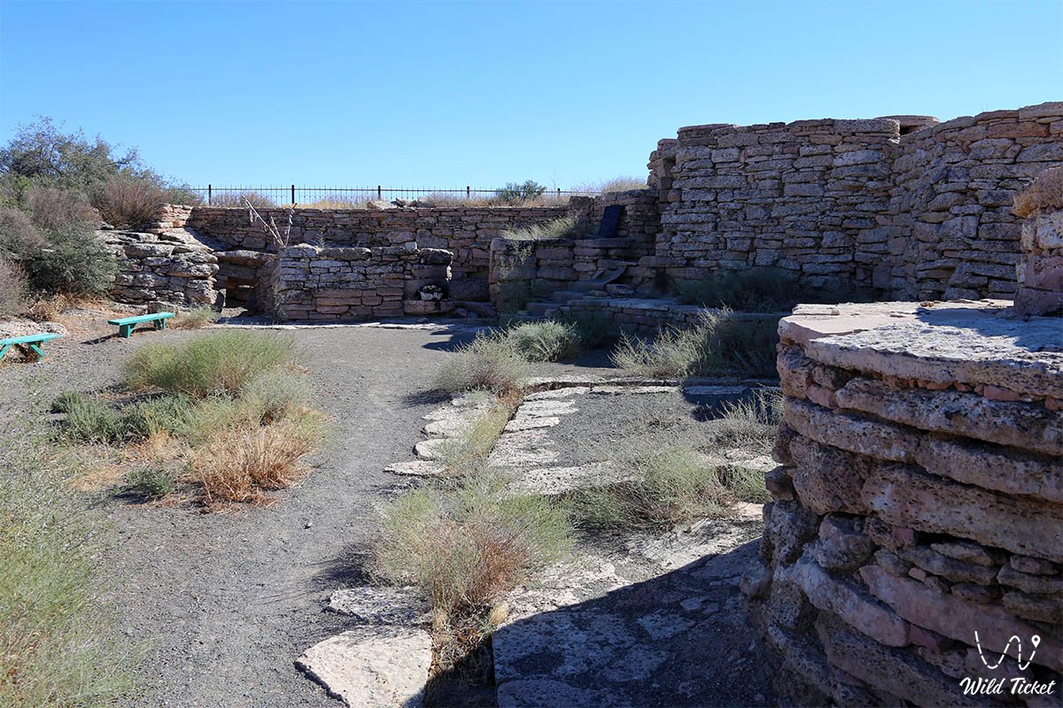
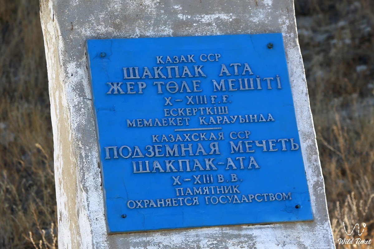
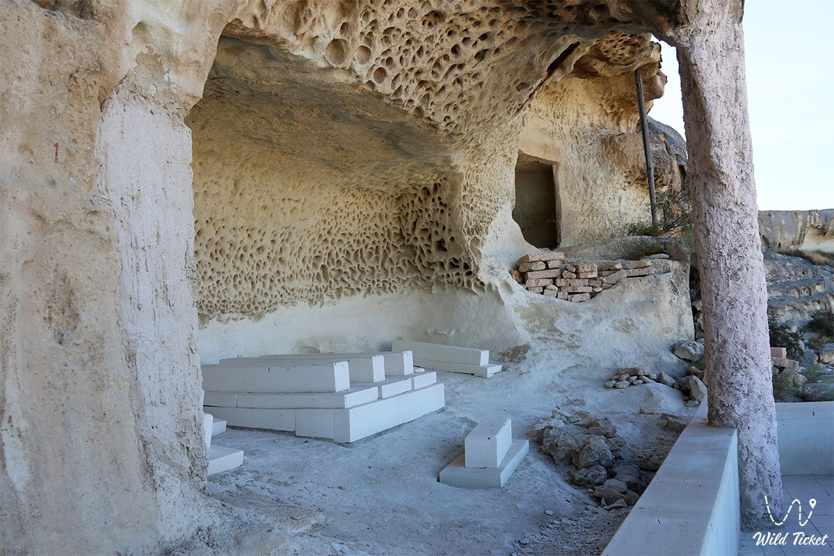
The main treasure of the region is an outstanding concentration of world-class natural and sacred monuments. Located here are the grandiose Zhygylgan geological collapse ("Fallen Land"), the picturesque canyon with a weeping waterfall and lake Tamshaly, the freshwater rock oasis of Saura, the deep chalk gorges of Kapamsay and Shakpaktysay, Kazakhstan's oldest seaport in the village of Bautino, as well as ancient shrines carved into limestone cliffs – the Shakpak-Ata underground mosque (10th–13th centuries) and the cult-memorial complex of Sultan-Epe, inscribed on the UNESCO World Heritage List.
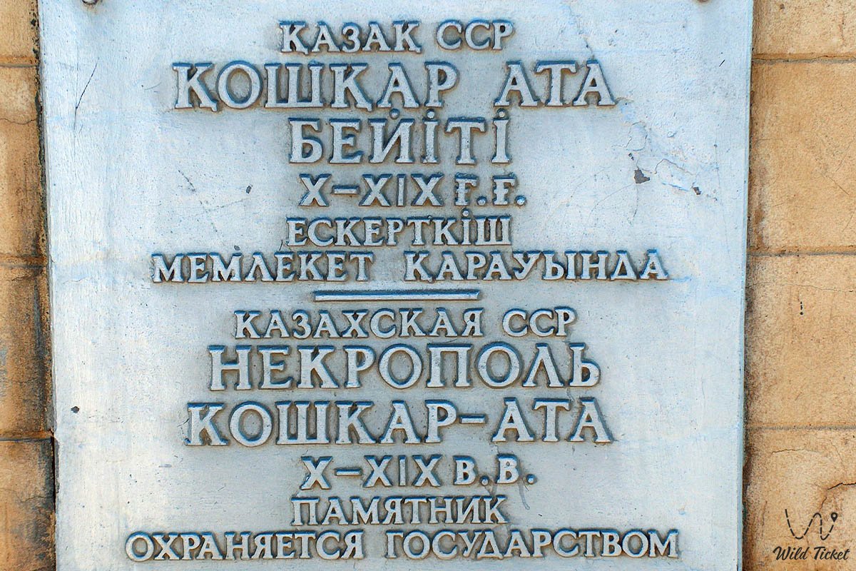
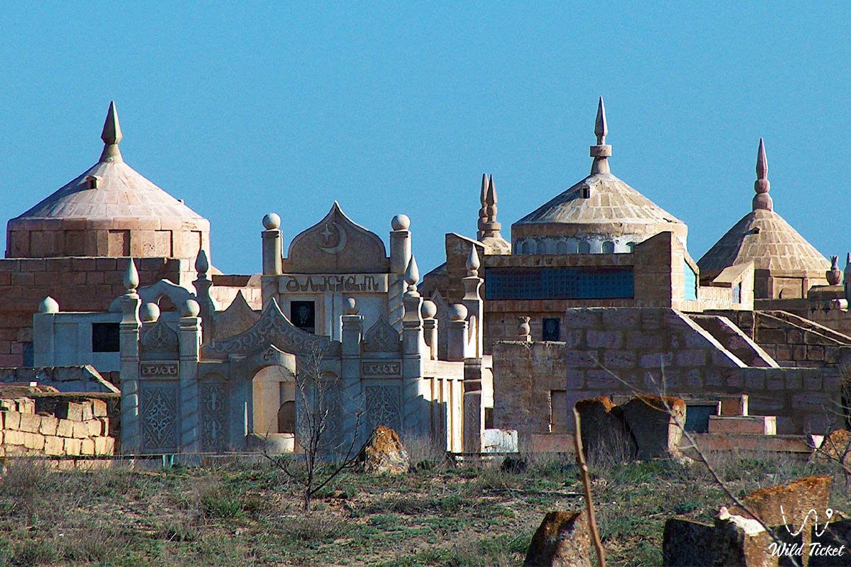
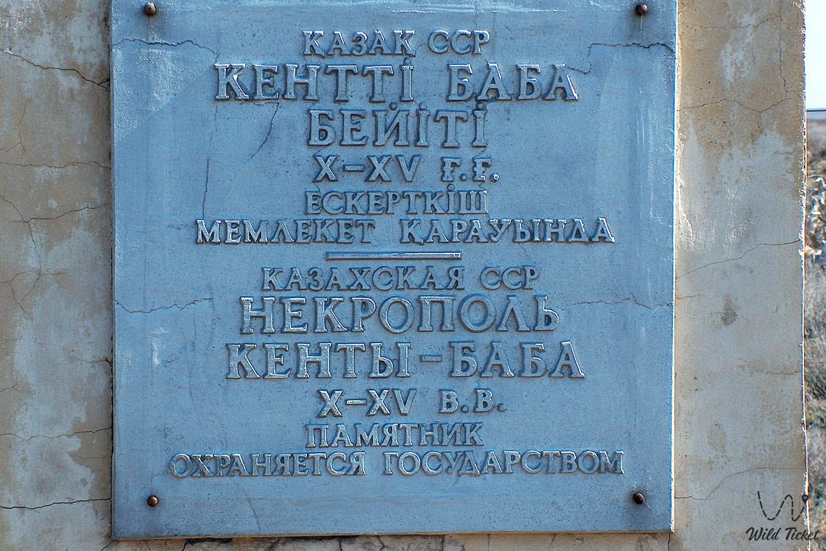
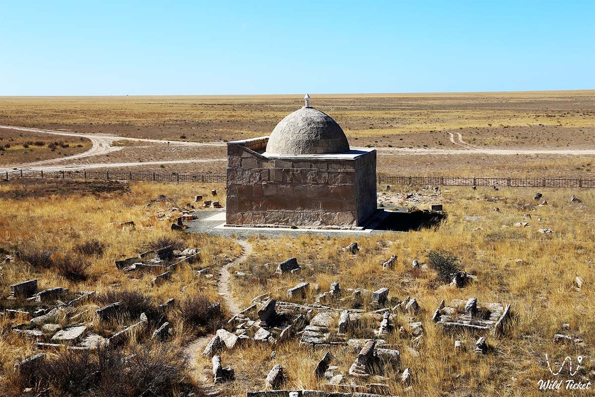
Logistically, the Tupkaragan district stands out as the most comfortable and developed destination for journeys across the Mangyshlak Peninsula. Unlike remote southern routes to the Bozzhira tract, the valley and Kyzylkup tract, or table-shaped Mount Bokty, the primary highways of Tupkaragan are paved and originate directly from the regional center of Aktau, linking together sea bays, sand spits, and the ancient necropolises of Koshkar-Ata and Kenty-Baba.
Today, the Tupkaragan district is recognized as a key center of historical, cultural, educational, and maritime tourism, opening up to travelers the ancient chronicle of the Tethys Ocean, Sufi shrines of nomads, and the majestic shores of the Caspian.
--------------------------------------------
How to get there and visit –
The Tupkaragan district is located on the northwestern coast of Mangystau. The distance from the international airport and center of the city of Aktau to the district center – the city of Fort-Shevchenko and the adjacent seaport and village of "Bautino" – is approximately 135–145 kilometers along a high-speed paved highway of republican significance.
GPS geographical coordinates: 44°31'04"N 50°17'40"E
Visiting the district is ideally structured into a loop excursion itinerary: heading north from Aktau through the suburban villages of Akshukur and Sayyn Shapagatov, tourists explore the ancient Koshkar-Ata necropolis and the relict lake canyon of Saura, then arrive in the city of Fort-Shevchenko and the village of Bautino.
From here, the route continues to the northern coast toward the weeping cliff and waterfall of Tamshaly, the cyclopean collapse of Zhygylgan, the underground mosques of Sultan-Epe and Shakpak-Ata, Kapamsay canyon, and returns to Aktau via Tauchik village and Sarytash Bay. The length of the full loop is about 350–400 kilometers, for which two days can be comfortably allocated. (You can view links to the listed locations above).
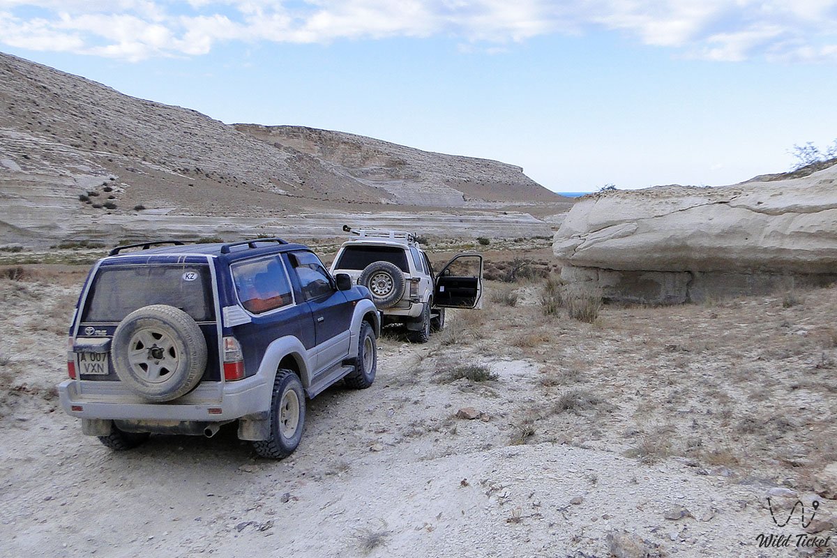
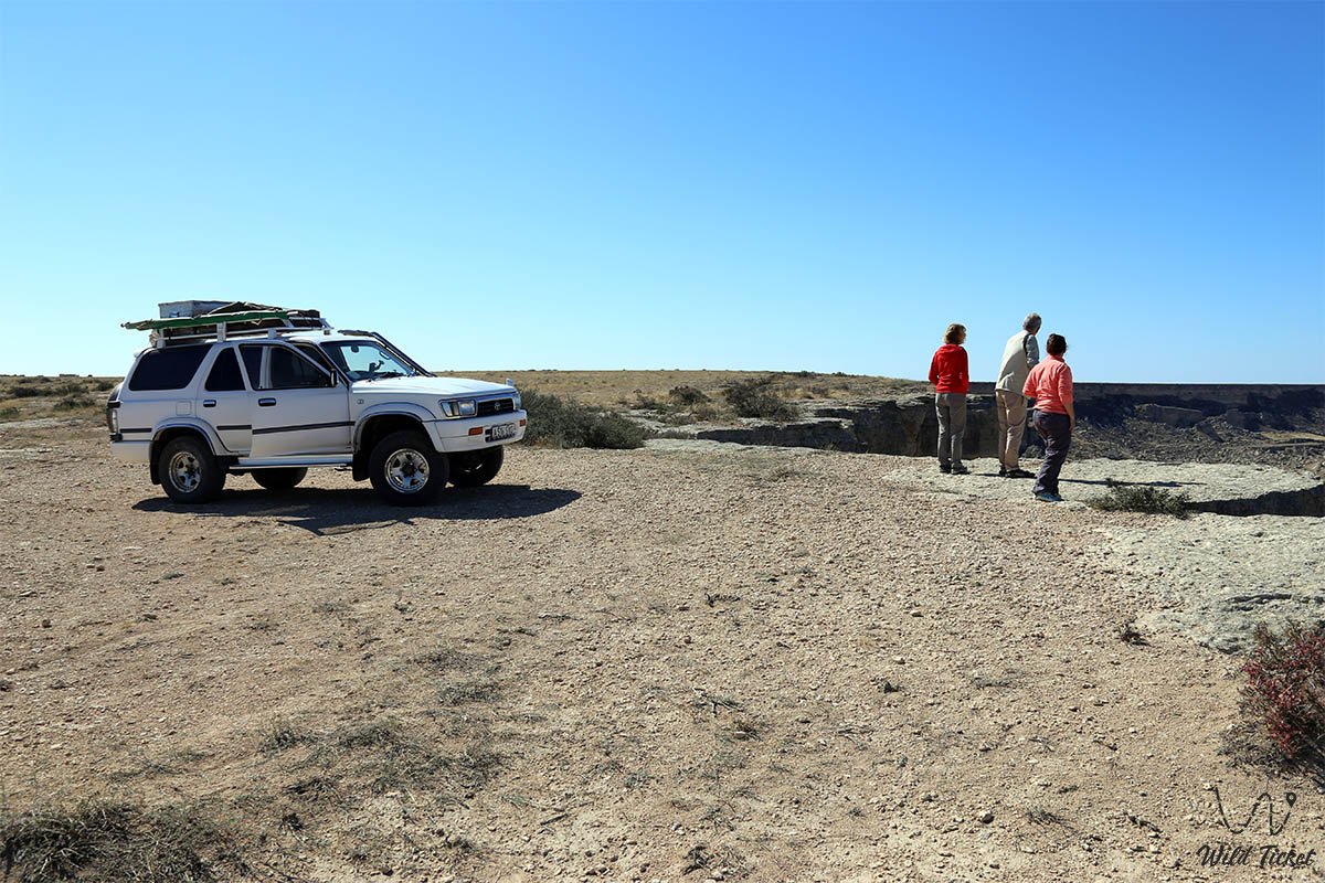
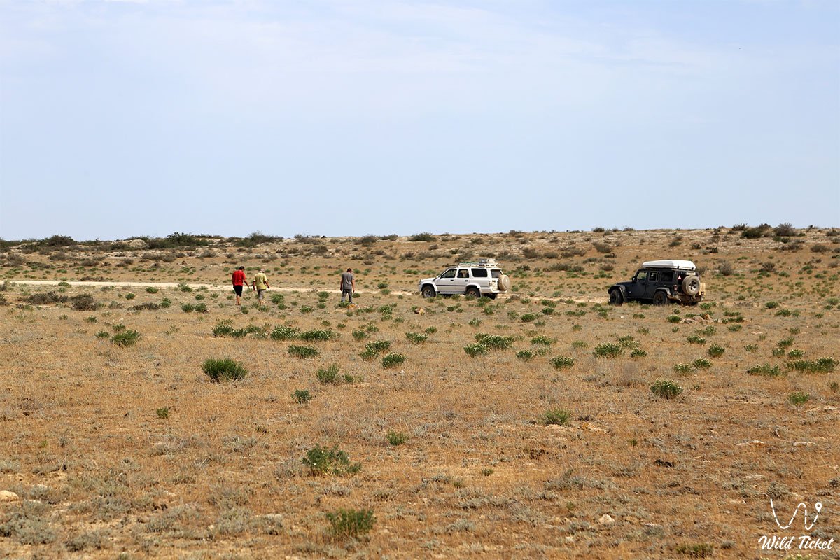
An excellent paved highway leads to the district's main settlements – Fort-Shevchenko, Bautino, Tauchik, Akshukur – accessible to any passenger car and bus at any time of the year. However, for radial detours to the edge of the Zhygylgan collapse, descending into Tamshaly canyon, driving to the Shakpak-Ata mosque, and reaching the wild beaches of Cape Tyub-Karagan, a four-wheel-drive off-road vehicle (4x4) with high ground clearance is required due to stony gravel tracks and limestone slabs.
The district's infrastructure is well developed: hotels, hostels, restaurants, shops, pharmacies, gas stations, and tire service stations operate in Fort-Shevchenko and Bautino. Mobile communications and internet work stably on the plains and in the villages, disappearing only temporarily at the bottom of deep rock canyons.
The best time to visit is from May to October. In summer, the Caspian Sea breeze softens the midday heat, and the water temperature in coastal bays reaches +24...+26 °C, allowing travelers to combine educational excursions with relaxation on wild sandy beaches.
--------------------------------------------
History
The historical chronicle of the Tupkaragan district spans several millennia. Its advantageous geographical position at the junction of Caspian sea routes and steppe caravan roads turned the peninsula into a strategic hub of Eurasia. During the Bronze and Early Iron Ages, Massagetae and Sarmatian tribes nomadized here, leaving numerous kurgans across the steppe.
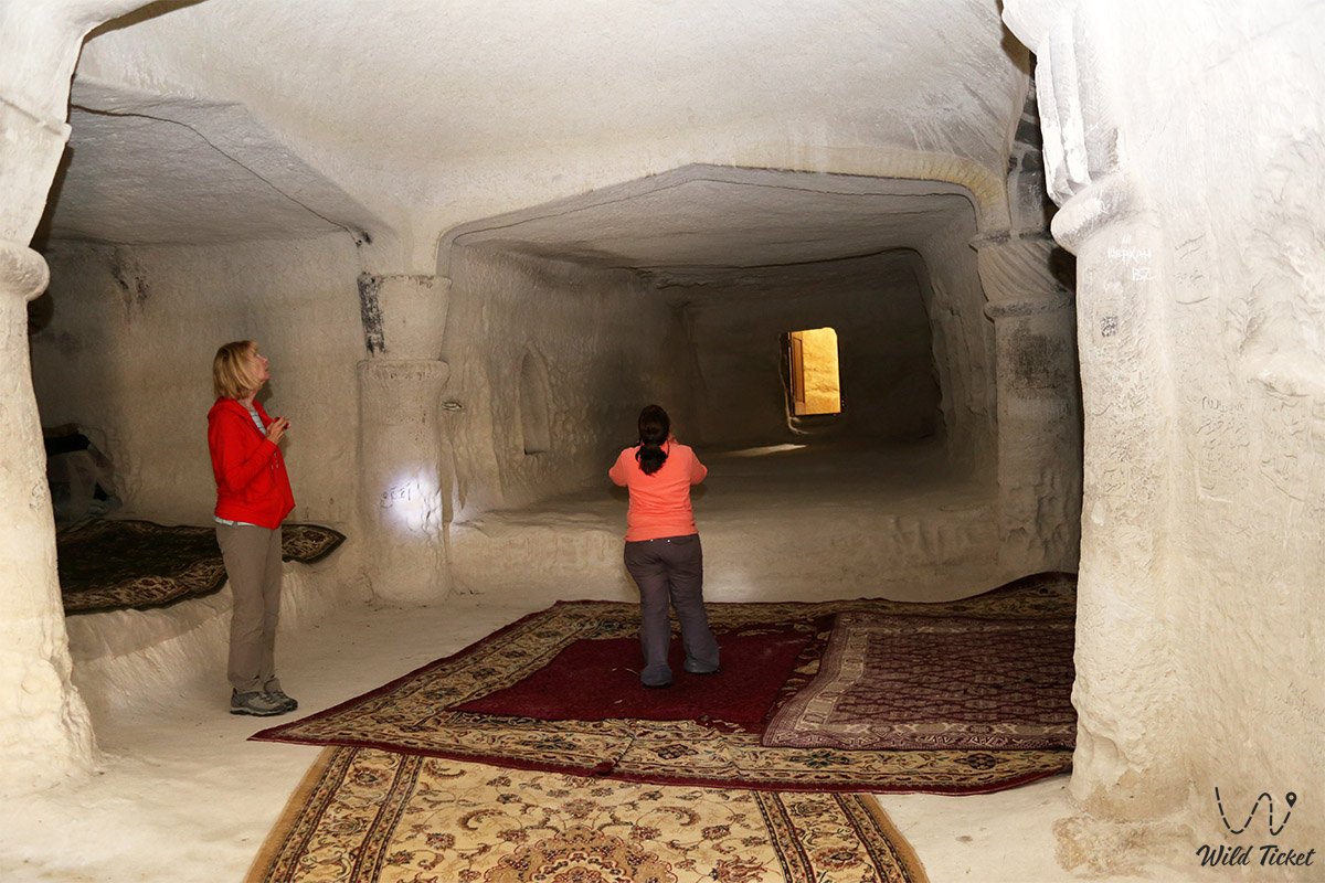
In the Middle Ages, northern branches of the Great Silk Road ran along the shores of Tyubkaragan, connecting Khwarazm with the Volga region and the Khazar Khaganate. In the 9th–11th centuries, Oghuz Turkmen tribes established themselves here, creating the first cave hermitages. In the 10th–13th centuries, dervishes carved the unique Shakpak-Ata underground mosque into the white chalk cliff, which became a center of Sufi enlightenment.
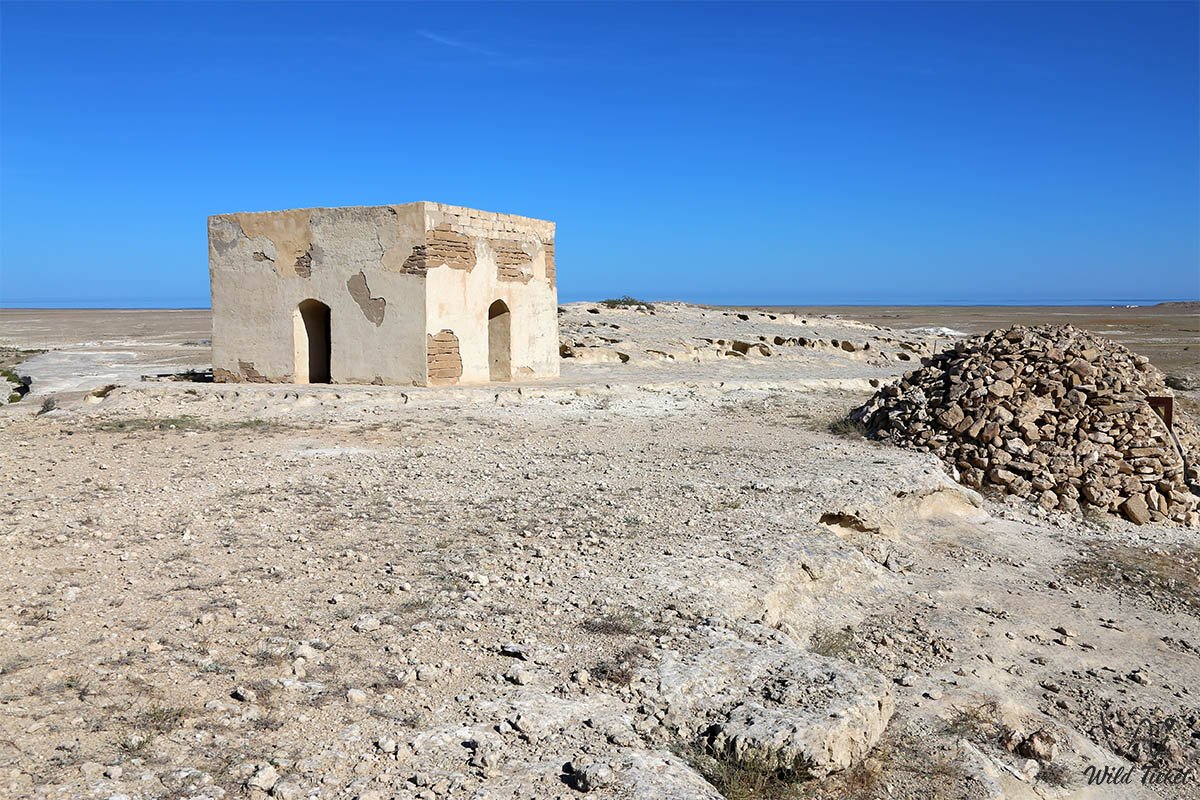
In the 18th–19th centuries, the Kazakhs of the Aday clan became the rightful masters of the region. During this period, the school of steppe stone-carving architecture flourished: the monumental memorials of Kenty-Baba, Koshkar-Ata, and the Sultan-Epe necropolis were erected with rich ornamental carvings on coquina limestone.
In 1846, the Novo-Petrovskoye fortification was founded by a Russian military expedition led by M. I. Ivanin (renamed Fort-Aleksandrovsky in 1857, now Fort-Shevchenko). From 1850 to 1857, the Ukrainian poet and artist Taras Shevchenko served his exile here.
Administratively, until 1963, the territory was known as the Shevchenko district. Between 1972 and 1992, the district was subordinate to the city council of Fort-Shevchenko, and in 1992 it gained district status with its modern historical name – Tupkaragan district. In July 2026, the rock-hewn mosques of Tupkaragan were officially inscribed on the UNESCO World Heritage List.
Information
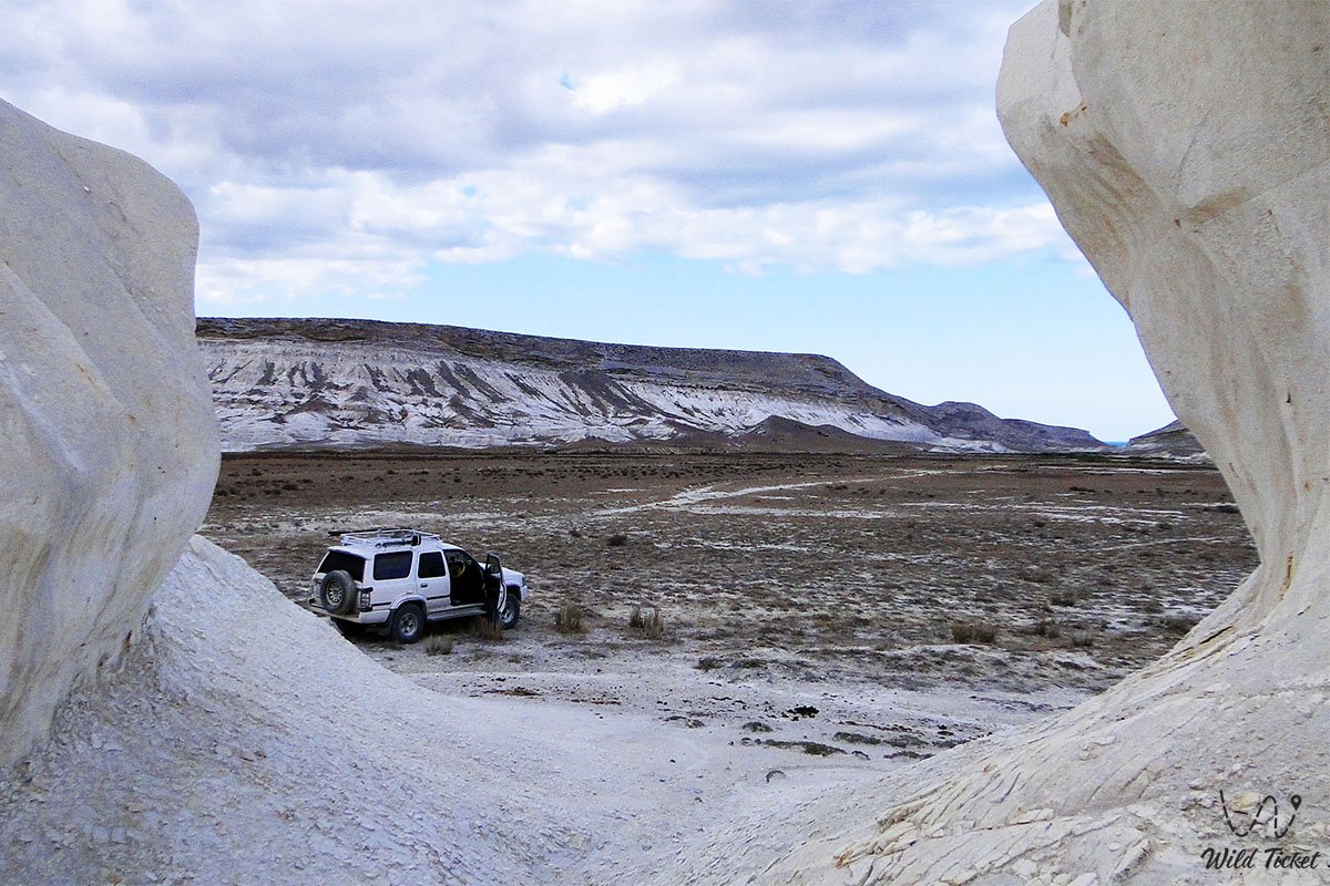
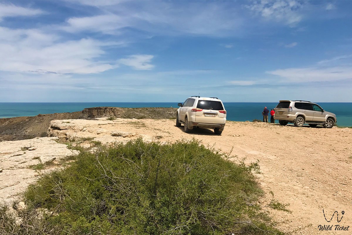
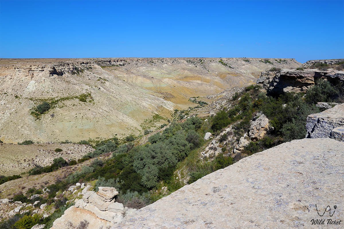
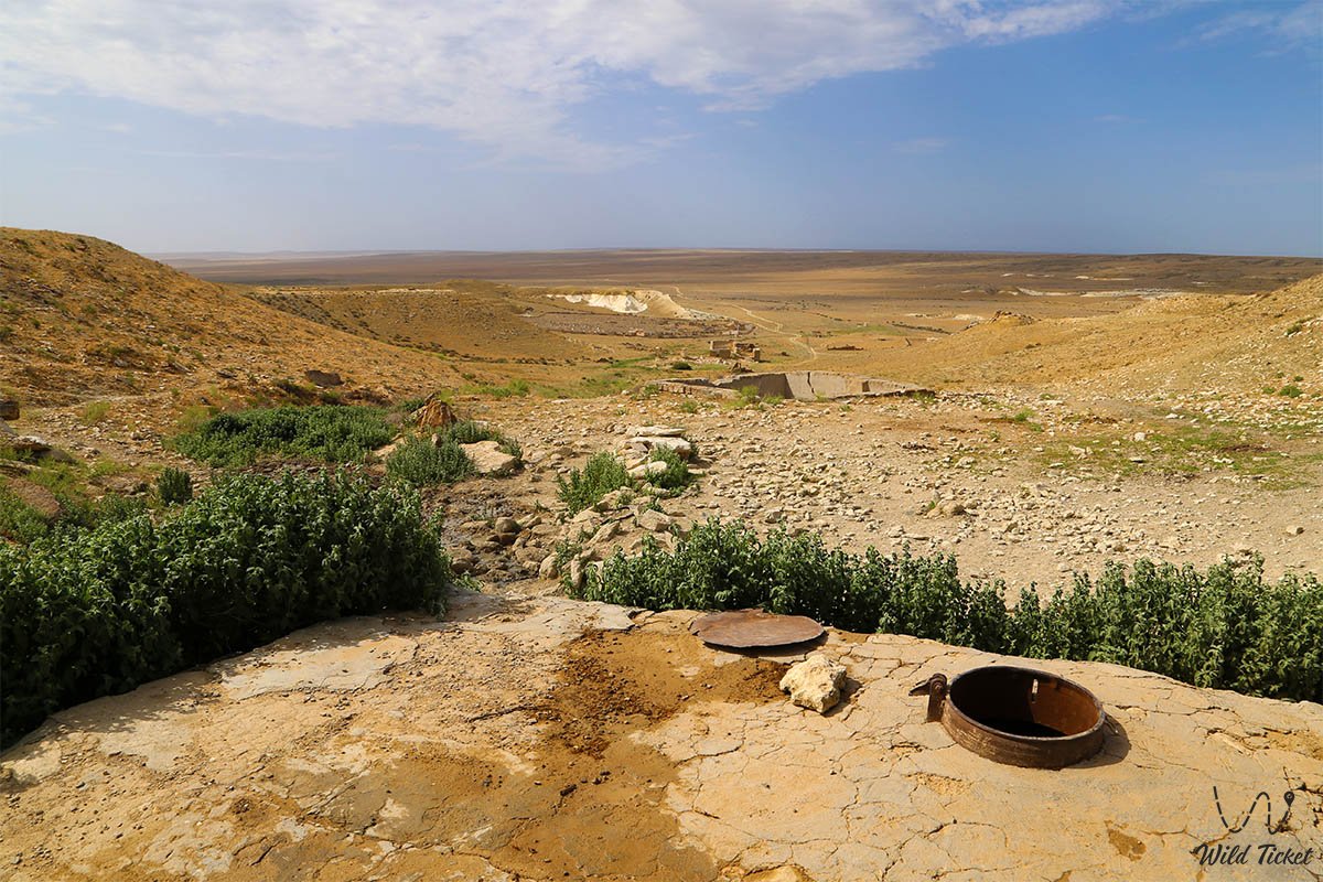
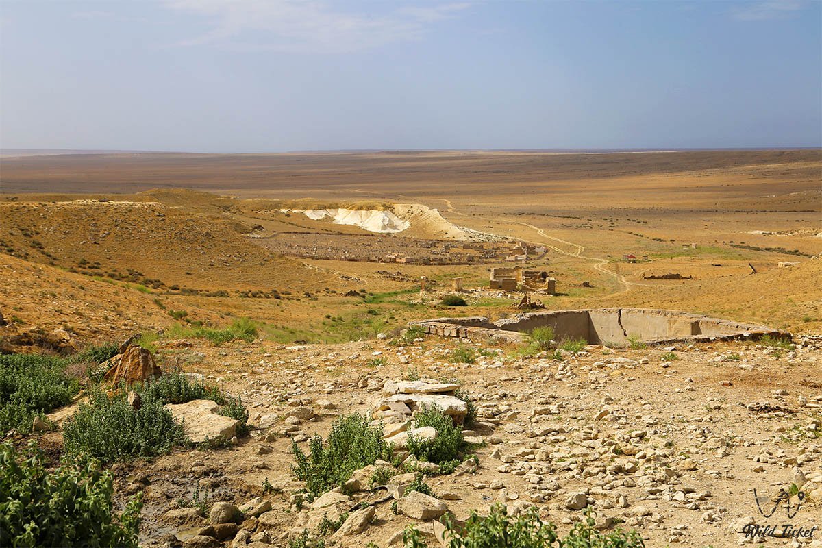
Geomorphologically, the territory of the Tupkaragan district represents an elevated bedded limestone plateau that drops toward the Caspian Sea with sheer chinks and stepped terraces up to 100–150 meters high. The geological basement is composed of Upper Cretaceous and Paleogene carbonate strata of the Tethys Ocean.
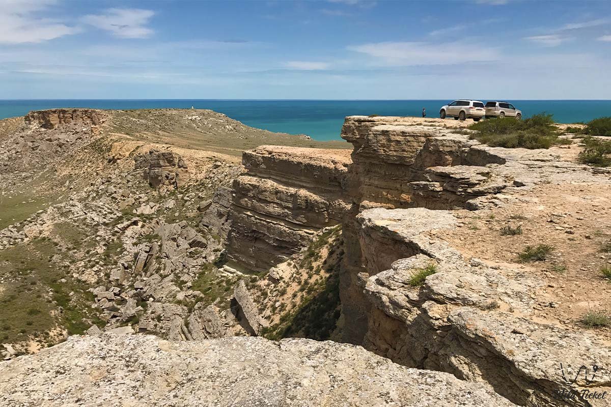
The northern coast is famous for grandiose natural phenomena. The Zhygylgan tract represents a gigantic tectonic landslide covering an area of more than 30 square kilometers: a massive limestone stratum collapsed downward toward the sea, creating a cyclopean chaos of stone boulders where fossilized paw prints of saber-toothed cats and hoofprints of prehistoric horses over 10 million years old are preserved. In Tamshaly canyon, clean springs burst from a fissure in a semicircular limestone ledge, flowing down in slender trickles and forming a famous dripping waterfall.
The climate of the district is moderately continental, maritime arid. The proximity of the sea makes winter relatively mild (temperatures rarely drop below -5 °C), while summer is comfortable thanks to constant circulation of marine air. Annual precipitation is about 140–160 mm.
The Caspian waters off the shores of Tyubkaragan constitute a protected natural area: the endemic Caspian seal resides here, and migration routes of sturgeon pass through these waters.
Detailed description of the venue
The territory of the Tupkaragan district unites recognized natural and cultural complexes:
• City of Fort-Shevchenko – administrative and cultural center featuring the Taras Shevchenko Museum, an ancient park, 19th-century garrison buildings, and the foundation of the Novo-Petrovsk fortress on Mount Kurgantash.
• Seaport and village of Bautino – the oldest operating sea harbor in Kazakhstan, located in the enclosed Bautino Bay sheltered by the Tyubkaragan Spit.
• Zhygylgan Tract ("Fallen Land") – a grandiose karst-tectonic collapse featuring labyrinths of stone slabs and paleontological footprints of Neogene mammals.
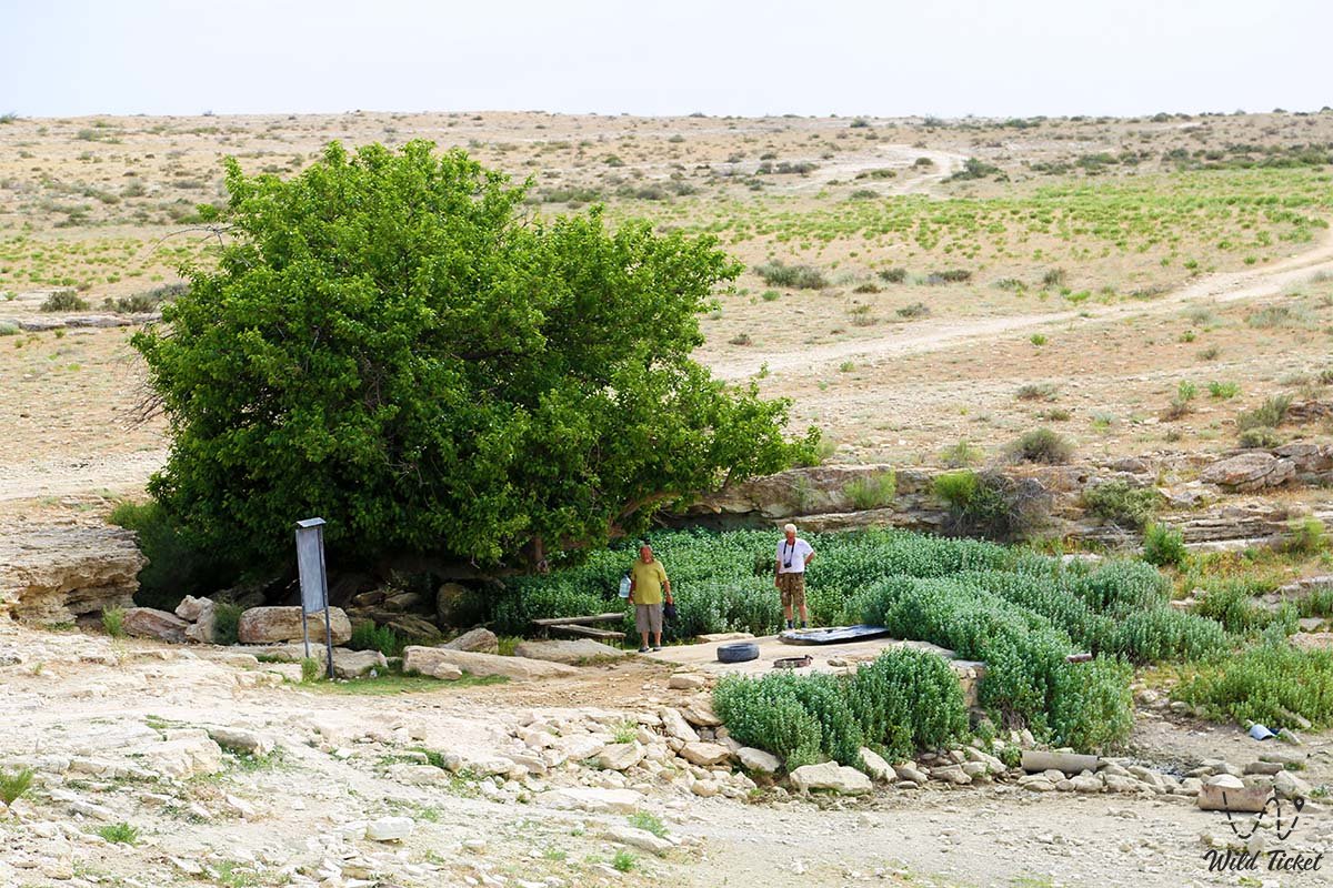
• Canyon, waterfall, and lake in the Tamshaly tract – a semicircular rock amphitheater with an oasis of mint and mulberry trees, where thousands of spring drops seep through an overhanging cornice to form a waterfall.
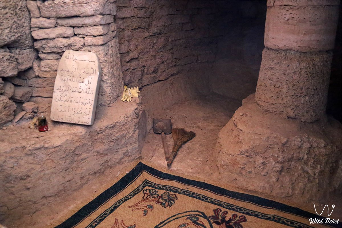
• Shakpak-Ata Underground Mosque (10th–13th centuries) – a cross-shaped UNESCO rock-cut temple with a central light dome, bas-reliefs of open palms, and ancient wall drawings.
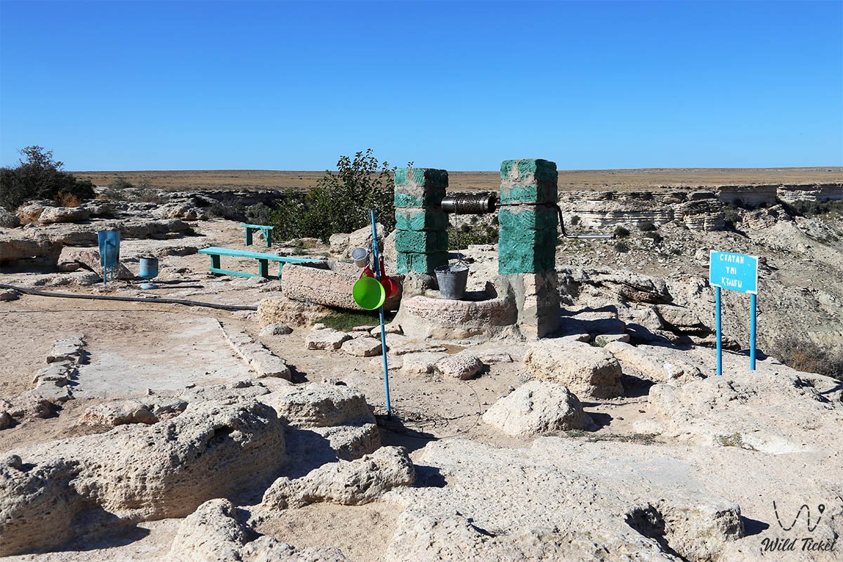
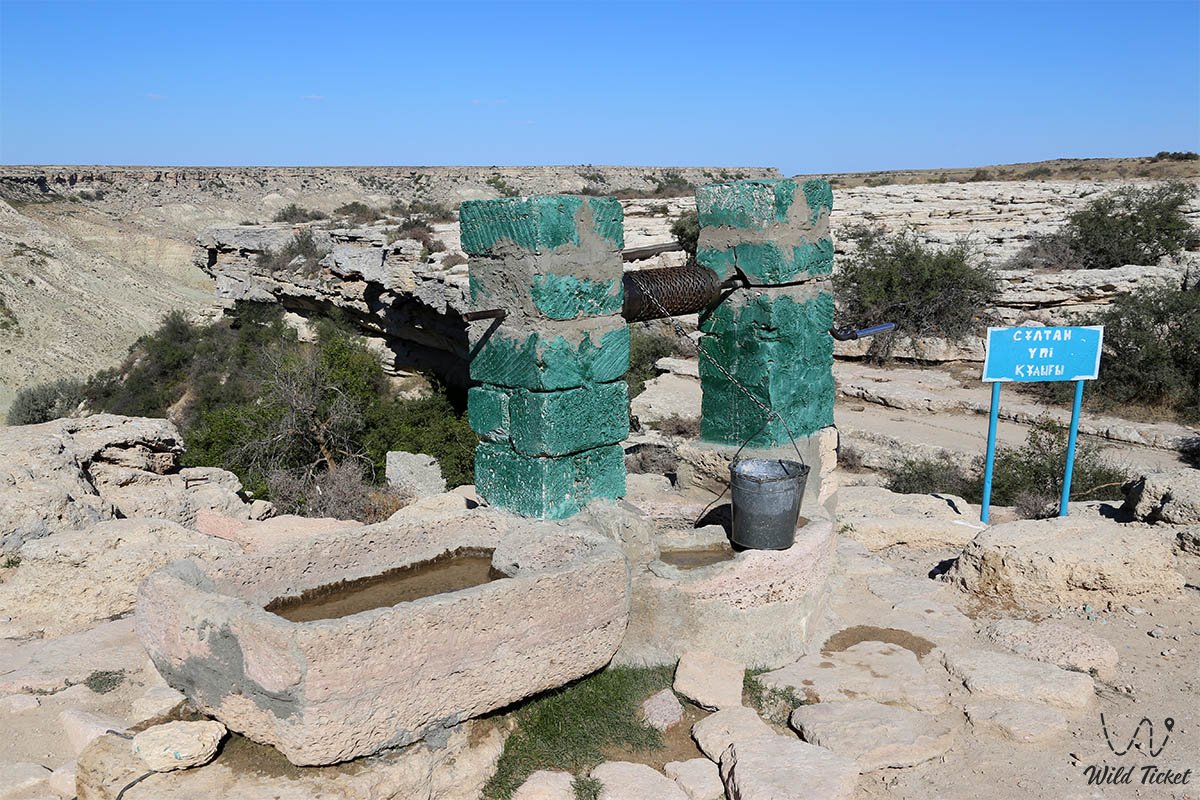
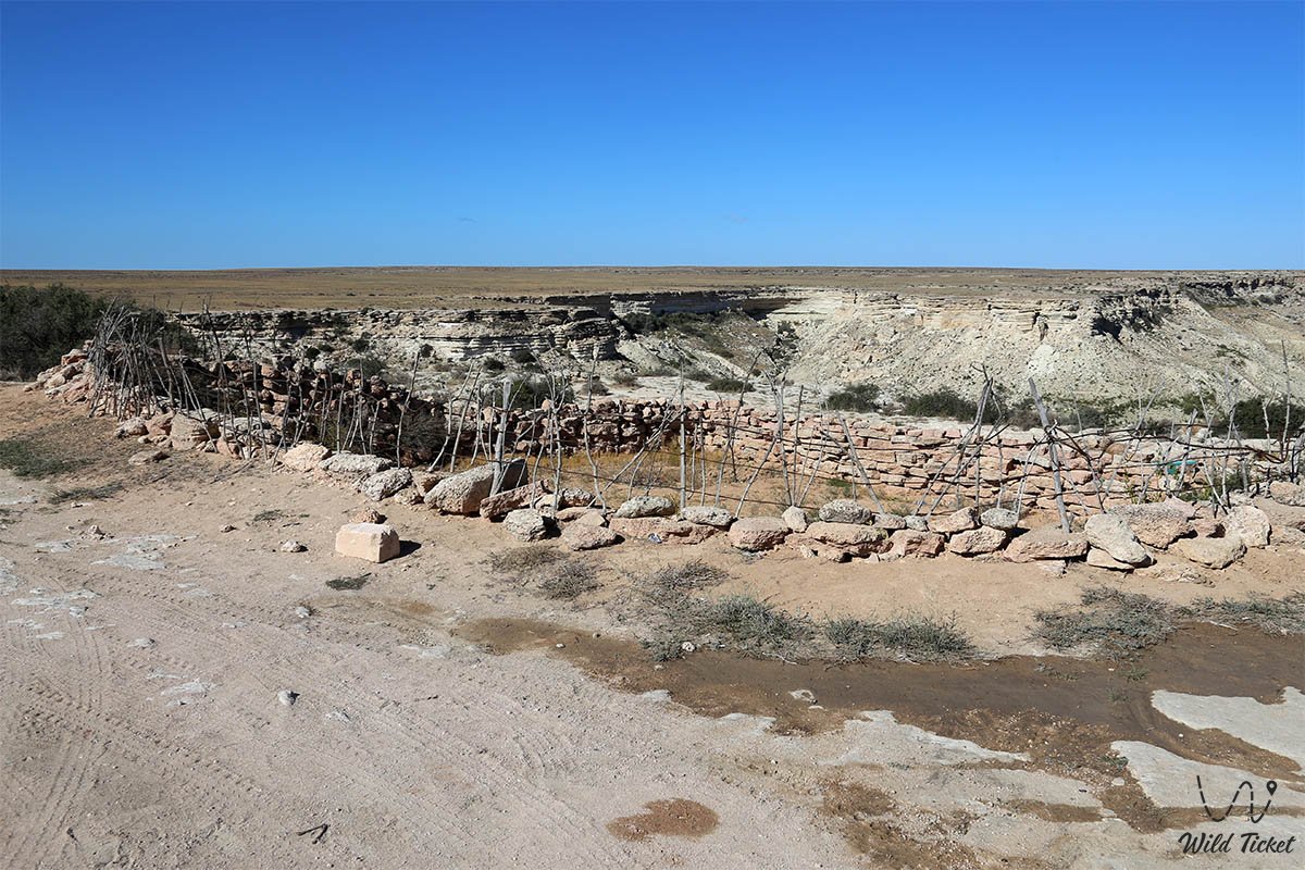
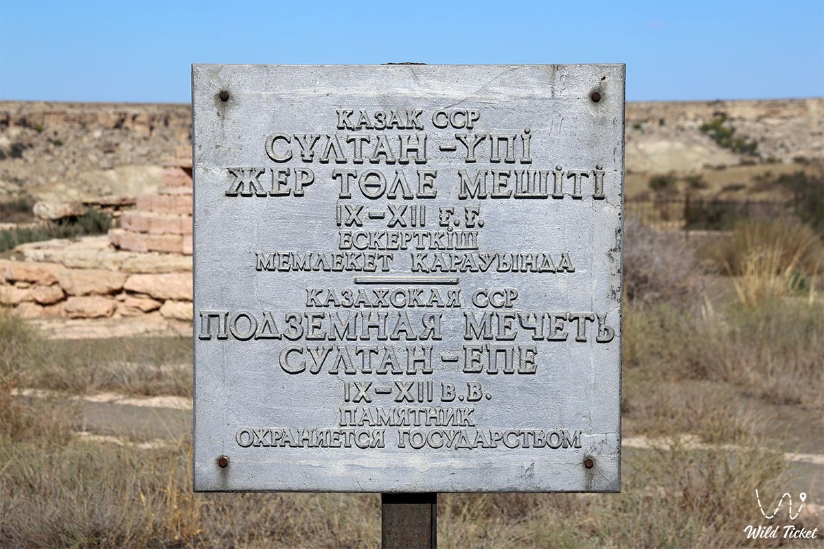
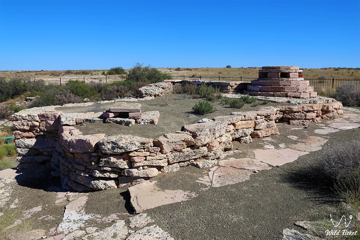
• Pilgrimage to the necropolis and canyon of Sultan-Epe – the sacred complex of the Sufi patron of sailors, featuring a deep freshwater well and ancient gravestones.
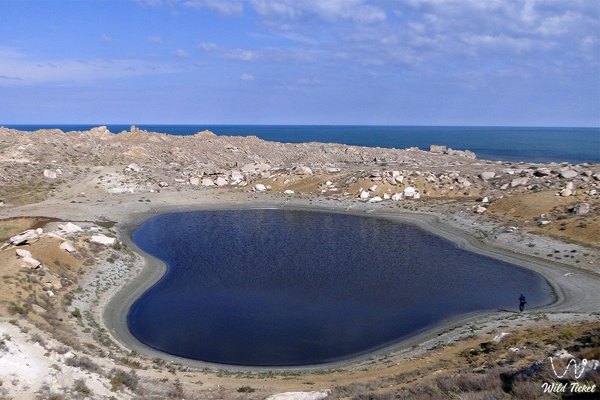
• Mystical lake canyon of Saura – a picturesque gorge with a relict grove of ancient willows, a freshwater pond, and the rare European pond turtle.
• Kapamsay Chalk Canyon – a deep limestone gorge with sheer snow-white walls up to 70 meters high and wind-hollowed grottos.
• Pilgrimage site and necropolis of Kenty-Baba – a steppe memorial complex featuring portal mausoleums and stone stelae adorned with masterful carving.
Flora and fauna
The vegetation cover of the district is characteristic of stony wormwood-saltwort coastal semi-deserts. Gray-soil wormwood, salt-marsh biyurgun, boyalych, itsegek, Atraphaxis, and bean caper grow on elevated plateaus. Moisture-loving flora flourishes in spring-fed oases of the Tamshaly, Saura, and Sultan-Epe canyons: relict ancient willows, mulberry, wild mint, blackberry, rose hip, and reed beds.
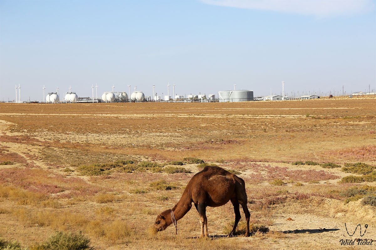
The animal kingdom is rich in inhabitants of land and marine depths. An endemic species – the Caspian seal, listed in the Red Book of Kazakhstan – occurs on sandy shoals and spits of Tyubkaragan. Coastal waters are abundant in fish: carp, pike perch, Caspian roach (vobla), mullet, bream, as well as relict beluga and sturgeon. An isolated population of the relict European pond turtle lives in Lake Saura.
Among terrestrial mammals, argali mouflons on chinks, goitered gazelles, corsac foxes, tolai hares, badgers, and marbled polecats are common. The reptile world is represented by the steppe agama, arrow snake, rapid fringe-toed lizard, and whipsnakes.
Birds of prey nest on the cliffs: golden eagles, long-legged buzzards, saker falcons, and eagle owls. Colonies of mute swans, cormorants, gulls, pelicans, and greater flamingos gather along the coast during seasonal migrations.
Legend
An ancient Kazakh legend about the tears of pure Tamshaly is associated with the canyons and coast of Tyubkaragan. Lore recounts that in times of fierce wars, a beautiful girl named Tamshaly lived in an aul at the foot of the cliff, whose beloved batyr went to defend their native nomadic pastures from foreign invaders. For long months, the beauty waited for news, climbing to the edge of the limestone precipice and gazing at the boundless sea.
When word came of the youth's demise in unequal combat, the girl's heart broke, and she wept aloud at the edge of the rock cornice. Her tears were so searing and pure that the stone cracked, and thousands of cool, crystal droplets burst forth from the rock strata, chiming against the stones day and night. Nomads believed that the water of Tamshaly heals emotional wounds, and that a traveler who washes their face beneath the cascading droplets finds peace of mind and the blessing of steppe spirits.
Conclusion
The Tupkaragan district is a unique crossroads of eras, marine forces, and pristine nature in the Mangystau region. The monumental cliffs of Zhygylgan, the pure droplets of Tamshaly, the sacred rock halls of Shakpak-Ata, and the Caspian water mirror evoke an unparalleled sense of harmony and the grandeur of an ancient land.
Thanks to developed infrastructure and transport accessibility, a journey across Tyubkaragan opens up an inexhaustible wealth of historical heritage and natural wonders of Western Kazakhstan to every guest.
Interesting sights nearby:
• Cape Tyubkaragan;
• Meretsay Canyon;
• Ashchysor Depression;
• Kapamsay Canyon;
• Khanga Baba Tract;
• Karagiye Depression;
• Ustyurt Plateau;
• Kuandy Depression;
• Aktau Mountains (White);
• Sultan-Epe Canyon;
• Basgurly-Zhazgurly Depression;
• Zhygylgan Collapse and Ancient Animal Footprints.
Photogallery: