Traveling in the Aktobe Region to the Mugodzhary Mountains -
The Mugodzhary Mountains are the southern extension of the city of Uralsk.
Geographical Location
The Mugodzhary Mountains are located in the Aktobe Region. They stretch 400 km from north to south and are approximately 200 km wide. Their average elevation is 300 m, with their highest point being Mount Bolshoy Boktybay (657 m).
Tourist Information
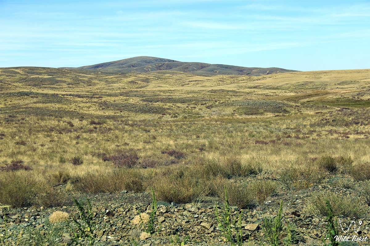
The Mugodzhary Mountains begin in the north as a thin curl and then divide into two adjacent ranges. Between them is a slightly concave depression (15-20 km wide). The ridges are connected in some places by a system of hills. The mountains are composed of Precambrian and Paleozoic quartzites, crystalline schists, gneisses, granites, and others.
Territory
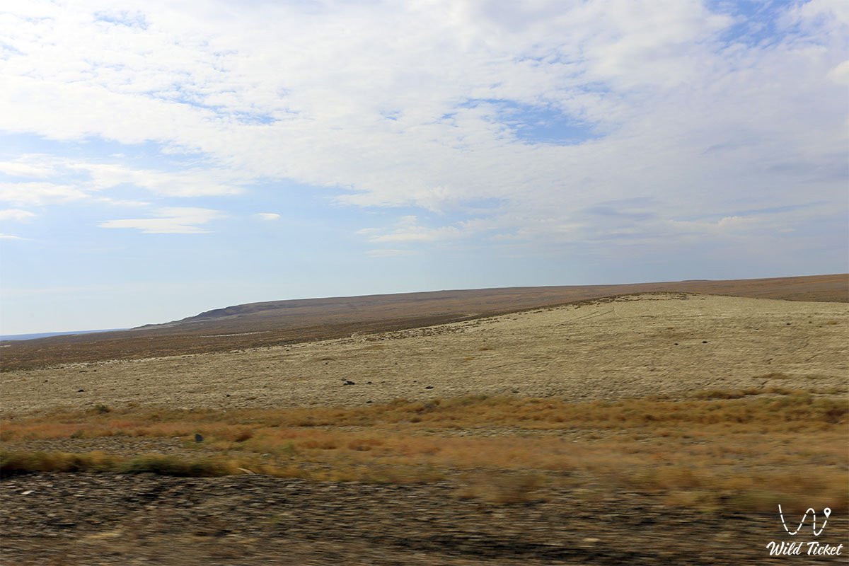
The Western Mughajar, or Main Range, joins together to form a chain of individual ridges extending meridian-wise. The southern part of the mountains is high and heavily indented. The eastern Mughajar Mountains are low, forming a series of flat hills. The northern part has a distinctly mountainous character, gradually descending southward and becoming a low hill, rising slightly above the surrounding plain. The Mughajar Mountains do not exceed 250 meters in height. The Mughajar Mountains form the watershed between the branches of the Irgiz River and the Or River.
Climate
The climate is sharply continental, with cold winters and thin snow cover. Average January temperatures range from -15 to 18°C. Summers are hot and dry, with average July temperatures ranging from 21 to 25°C. Annual precipitation is 200-250 mm.
Mineral Resources
Deposits of copper, nickel, manganese, rare metals, phosphorites, and coal have been explored in the Mugadzhar Mountains.
Soil and Vegetation
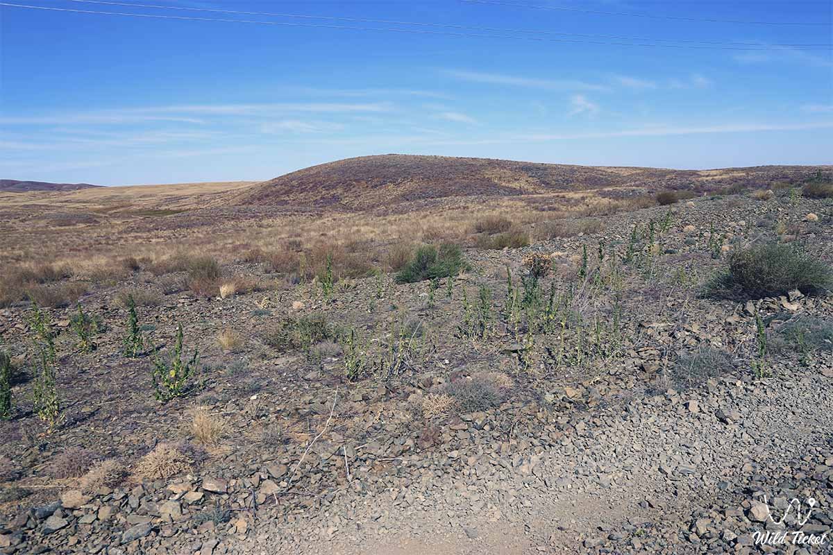
Gray alfalfa grows in the stony steppe of the northern part. Further south, the grass family transitions into wormwood desert (alfalfa, wormwood, etc.). Birch, aspen, willow, and maple are occasionally found in ravines. The region is unsuitable for cultivation due to the hard rock that rises to the surface. Land suitable for agriculture is found only in the valleys. Groundwater is abundant.
The western part of Mount Mugadzhar is composed of gravelly, light-dark brown soil with gray, alfalfa, and sedge vegetation. Water bodies and depressions can be found here. Wormwood and sorrel grow primarily here. Plants belonging to the white and black wormwood groups are found in the lowlands with steep relief. Carob, birch, bird cherry, and various shrubs grow on the upper slopes of the ravines, while poplar, birch, oak, and willow grow along the rivers.
Dark brown soil forms in the dry steppes of small hills. The area is covered with vegetation typical of the steppe and desert zones. Part of the western slope of Mount Mugadzhar is used for agriculture, while the eastern part is suitable only for grazing.
Fauna
Fauna is also represented by steppe, desert, and semi-desert animals. The steppes and mountain valleys are home to saigas, wild boars, rabbits, corsac foxes, wolves, foxes, squirrels, and voles. Swans, geese, and ducks inhabit the rivers and lakes.
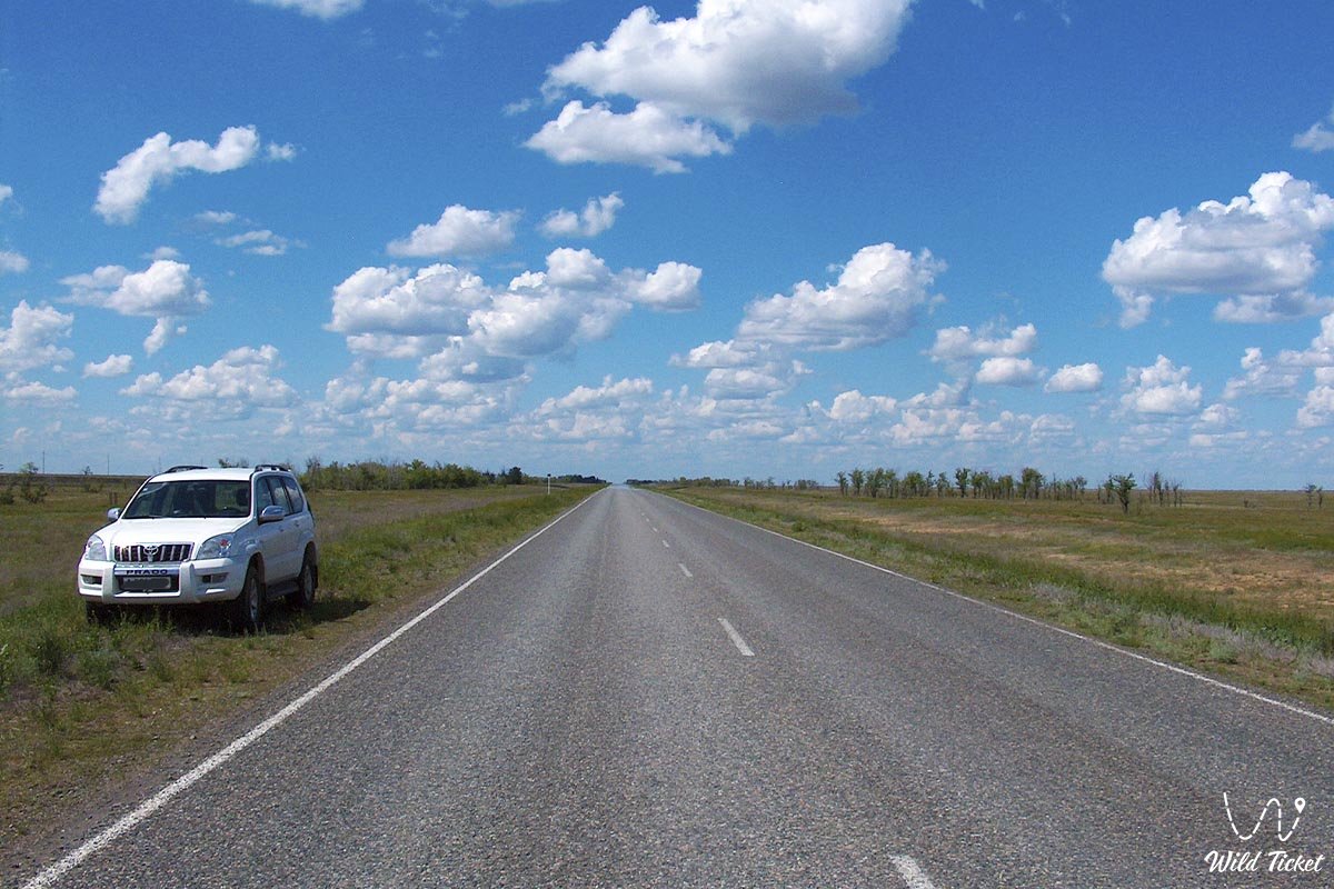
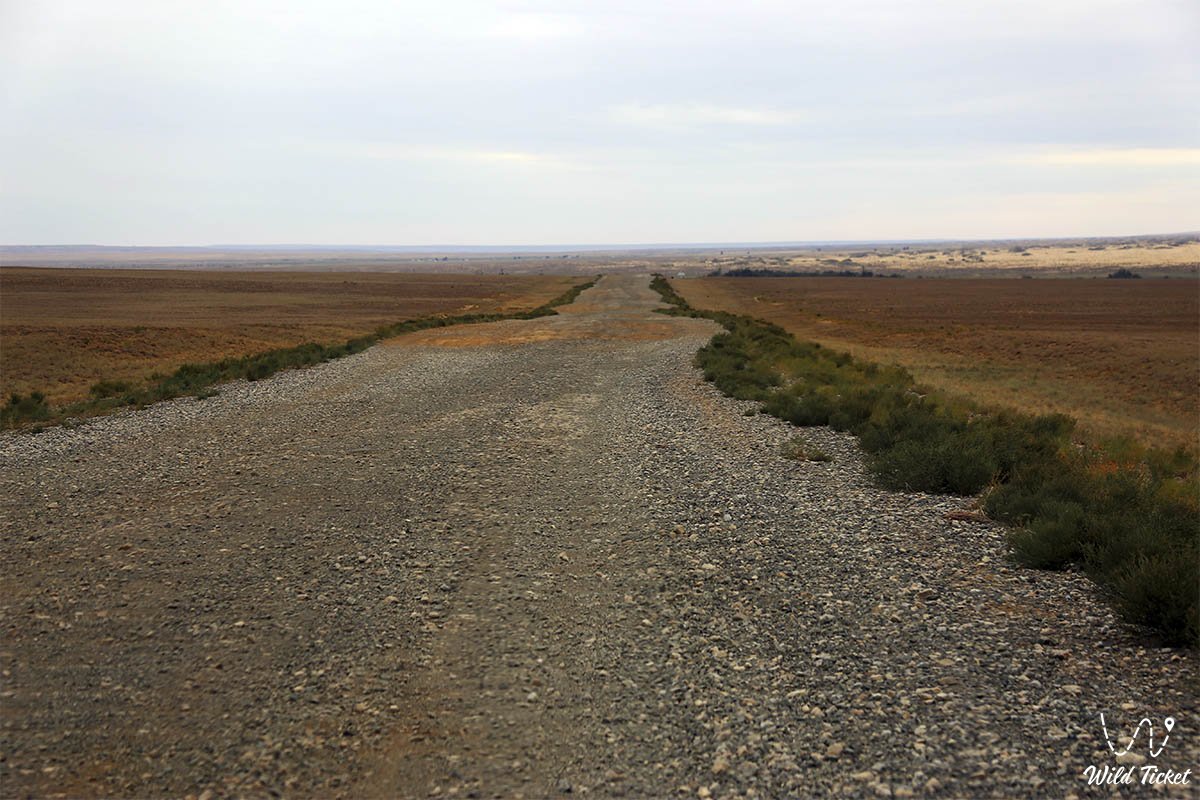
Photogallery: