Excursion to the ancient city of Baba Ata from Turkestan -
Travel guide and guide to Turkestan region and South Kazakhstan -
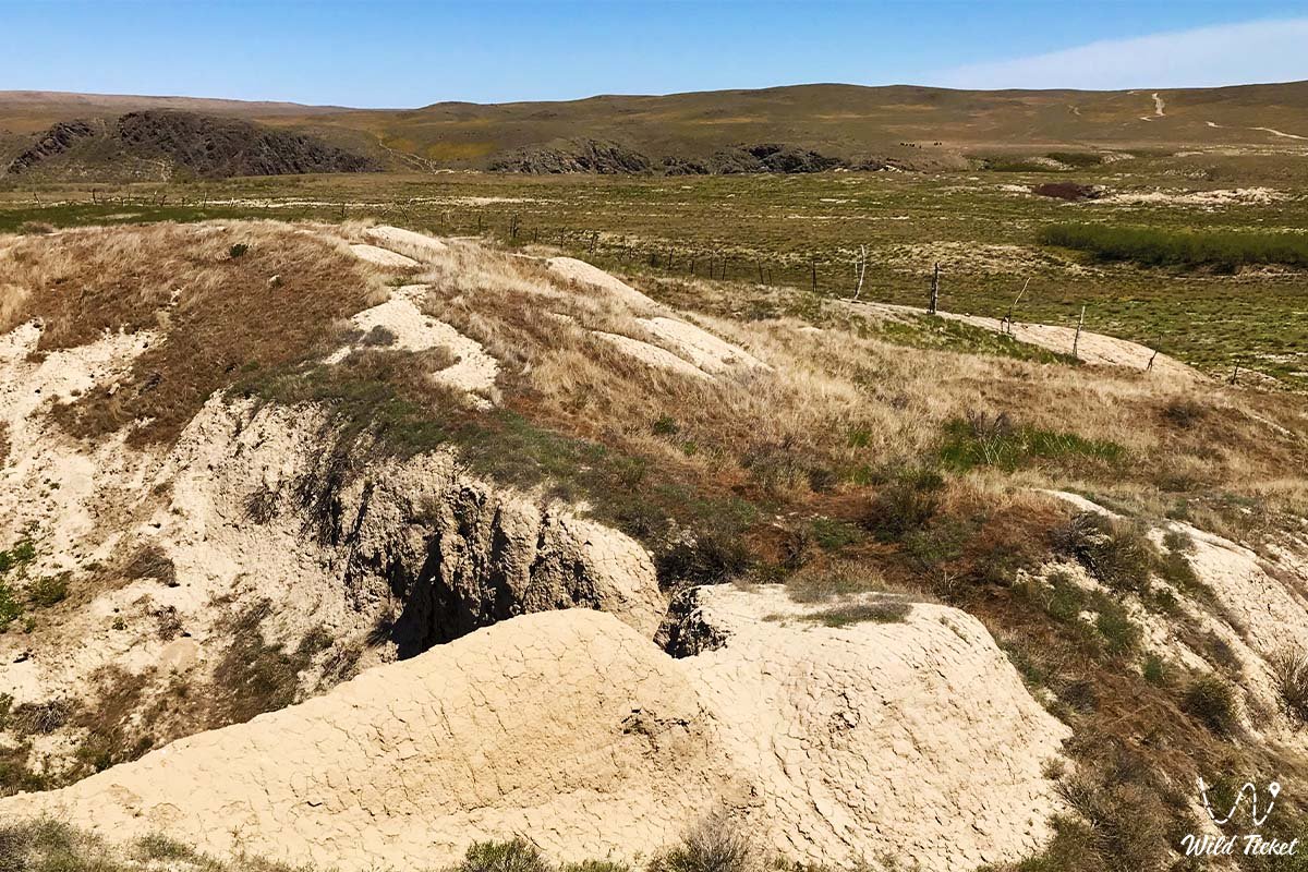
Baba Ata is a medieval city, a settlement of the VI - XV century, represents the remains of an ancient structure, the foundation, the base, and part of the walls have been preserved to this day. Now on the territory of the settlement you can see and visit the most beautiful madrasah-Baba Ata Mosque and next to it there is the same beautiful and unusual mausoleum Iskhab Baba, both buildings are architectural monuments of ancient Kazakhstan, sacred sacred places, and places of pilgrimage.
---------------------------------------------
How to get there, visit -
Baba Ata settlement is located 400 meters from the village of Babaata, left bank of the Babaata River, Sozak district, Turkestan region, Republic of Kazakhstan.
GPS coordinates: 43°35'28"N 69°20'24"E
---------------------------------------------
Information
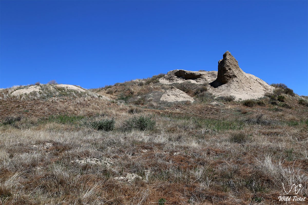
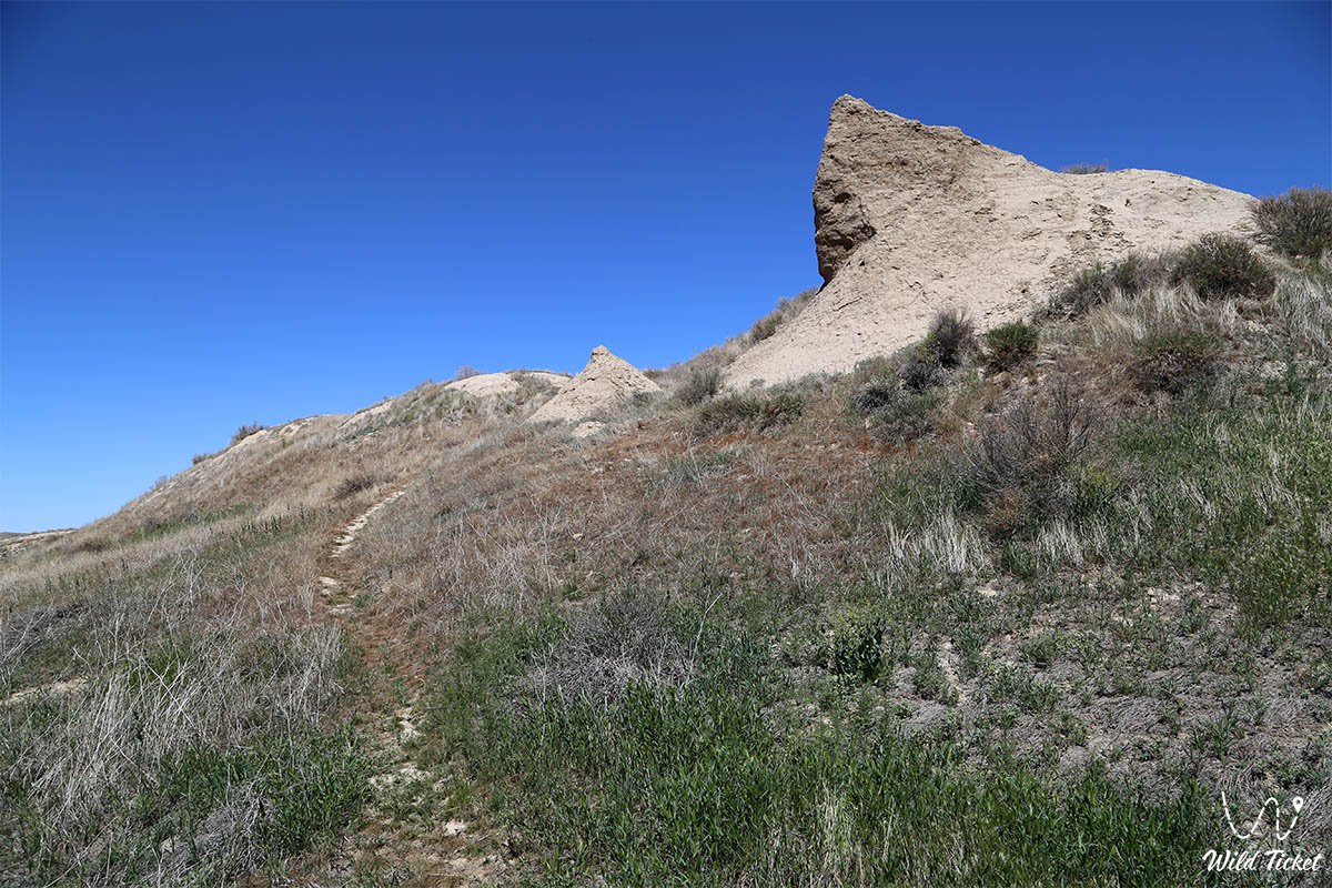
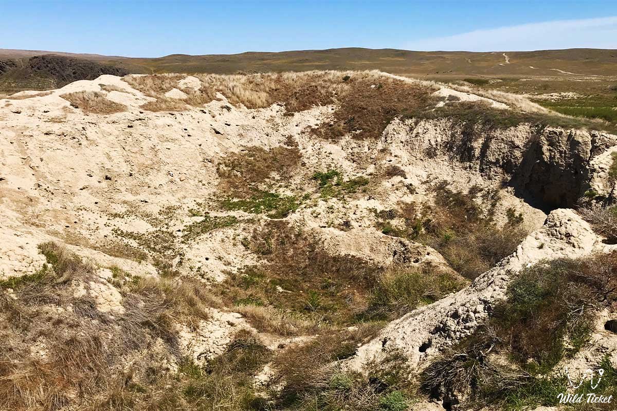
The Baba Ata settlement also represents the remains of an ancient defensive fortress of the citadel, built in ancient times on an artificial hill, which was specially poured to elevate the entire structure. The settlement consists of a citadel, Shahristan and Rabad. The city was first explored by the Russian scientist G.I. Spassky, then later in 1946 the settlement was explored by the South Kazakhstan archaeological expedition led by A. Margulan, in 1948 by a research expedition led by N. Bernshtam. In 1953-1954 and 1957-1958, archaeological excavations were constantly carried out at the Baba Ata settlement.
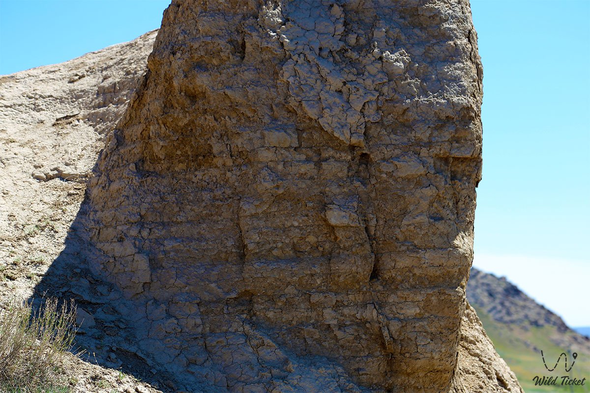
The Baba Ata settlement is a semi-oval hill, which is considered the site of a citadel on the southeastern outskirts of Shahristan, has a height of 10 m, an area of the lower side of 60 meters, and a ceiling area of 17 meters. During the excavation of the citadel, the site of an octagonal house was discovered on the lower floor of a structure dating from the 5th-8th centuries. The roof of the discovered house was covered with a dome. The floor area of this house is 5.8 m2, the height of the walls is 5 meters. An ancient well was also discovered in the center of the citadel. During the excavations, the remains of jugs, whole jugs, ceramics, and small plates were found.
The citadel of Baba Ata dates back to the 13th-14th centuries. The outdoor project is rectangular, oriented to the cardinal directions, the average height is 7-8 meters, the length of the walls from north to south is 182 meters, from west to east is 145 meters, on three sides it is fenced with a 1.5 m high fence. The location of 15 towers is clearly visible along the length of the fence. In the middle part of Shahristan, a stone tank made of flat stones was discovered, apparently for water. It has a 30 m long drain made of ceramic pipes. Rabad is located around the citadel and Shahristan.
Photogallery: