Jeep tour to the Aktolagai chalk plateau in Aktobe region -
Travel from Atyrau to Aktolagai -
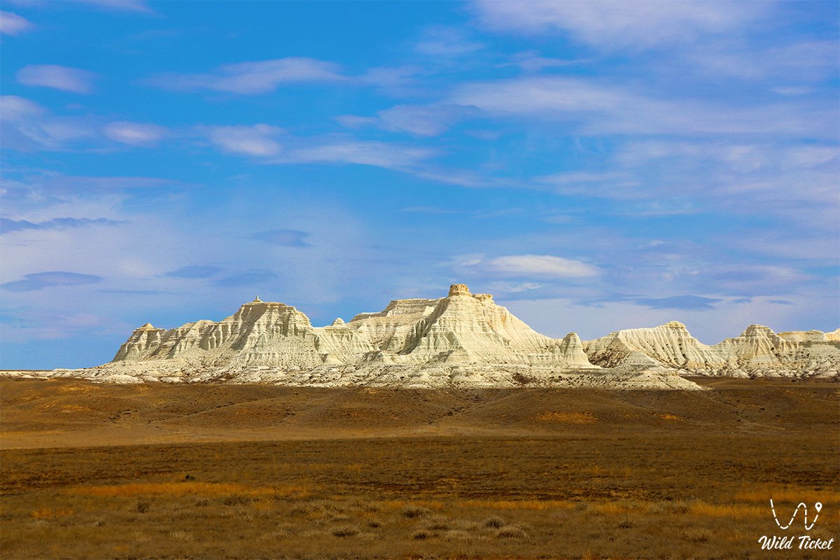
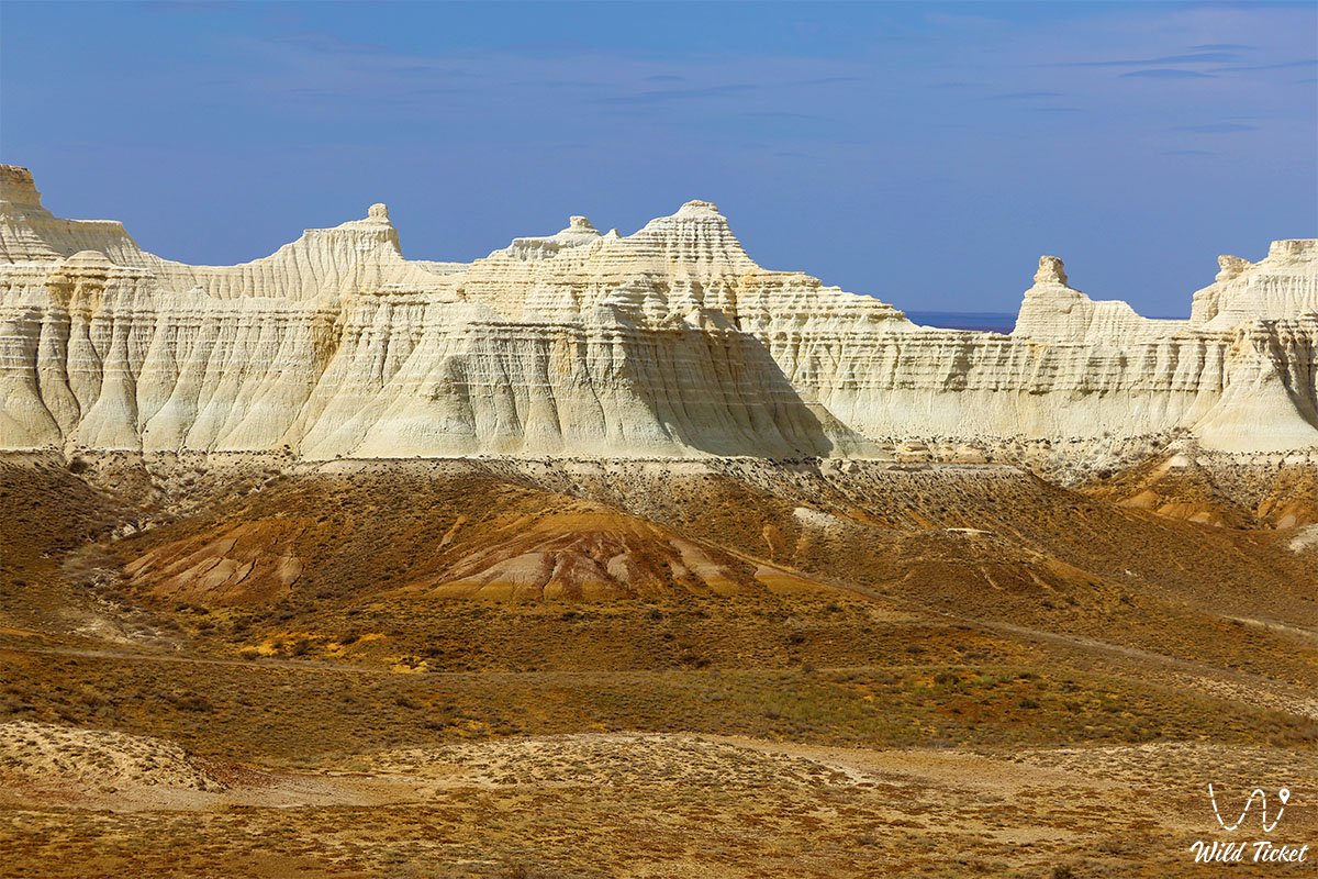
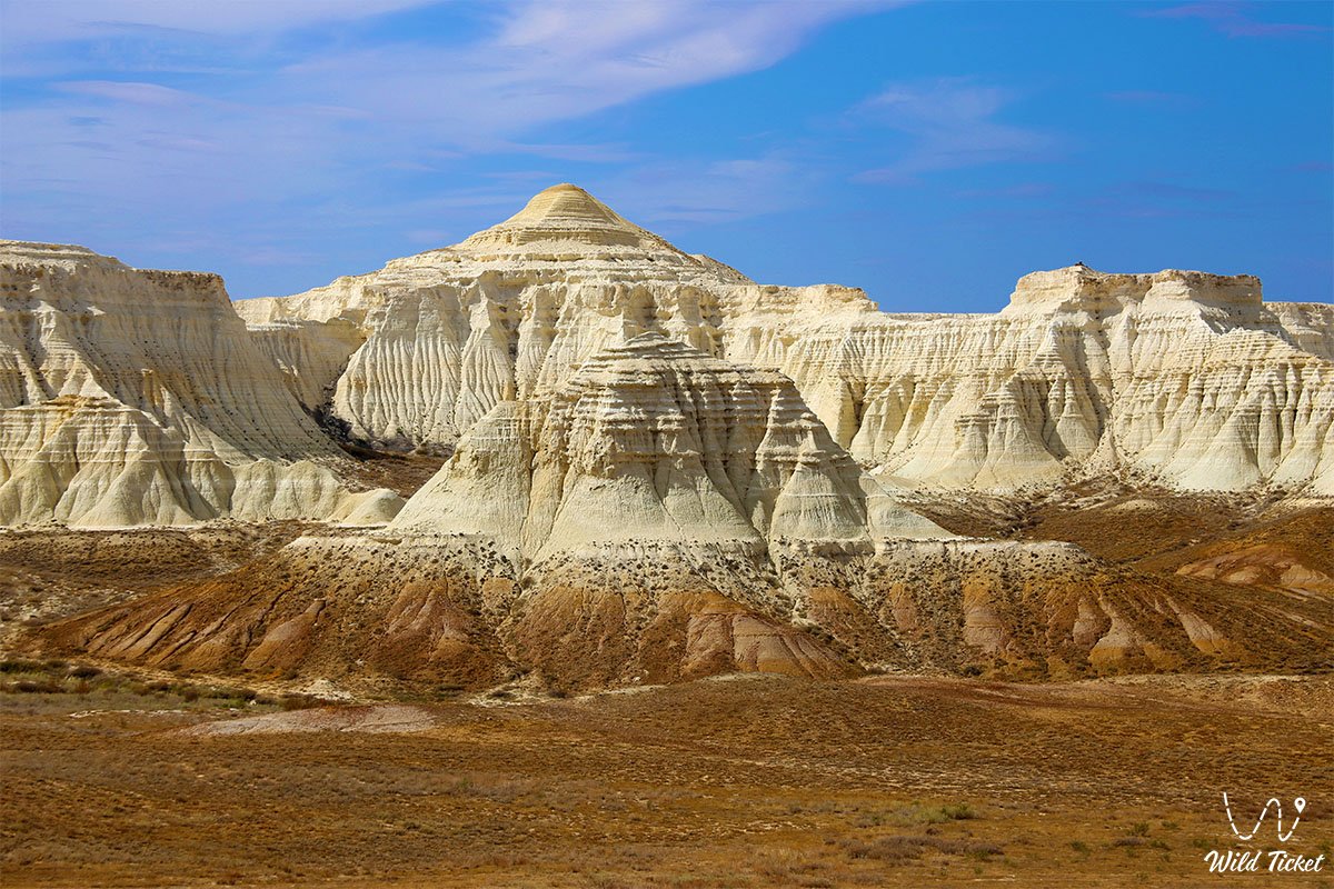
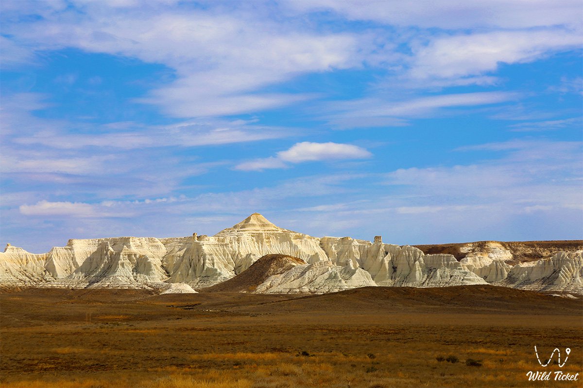
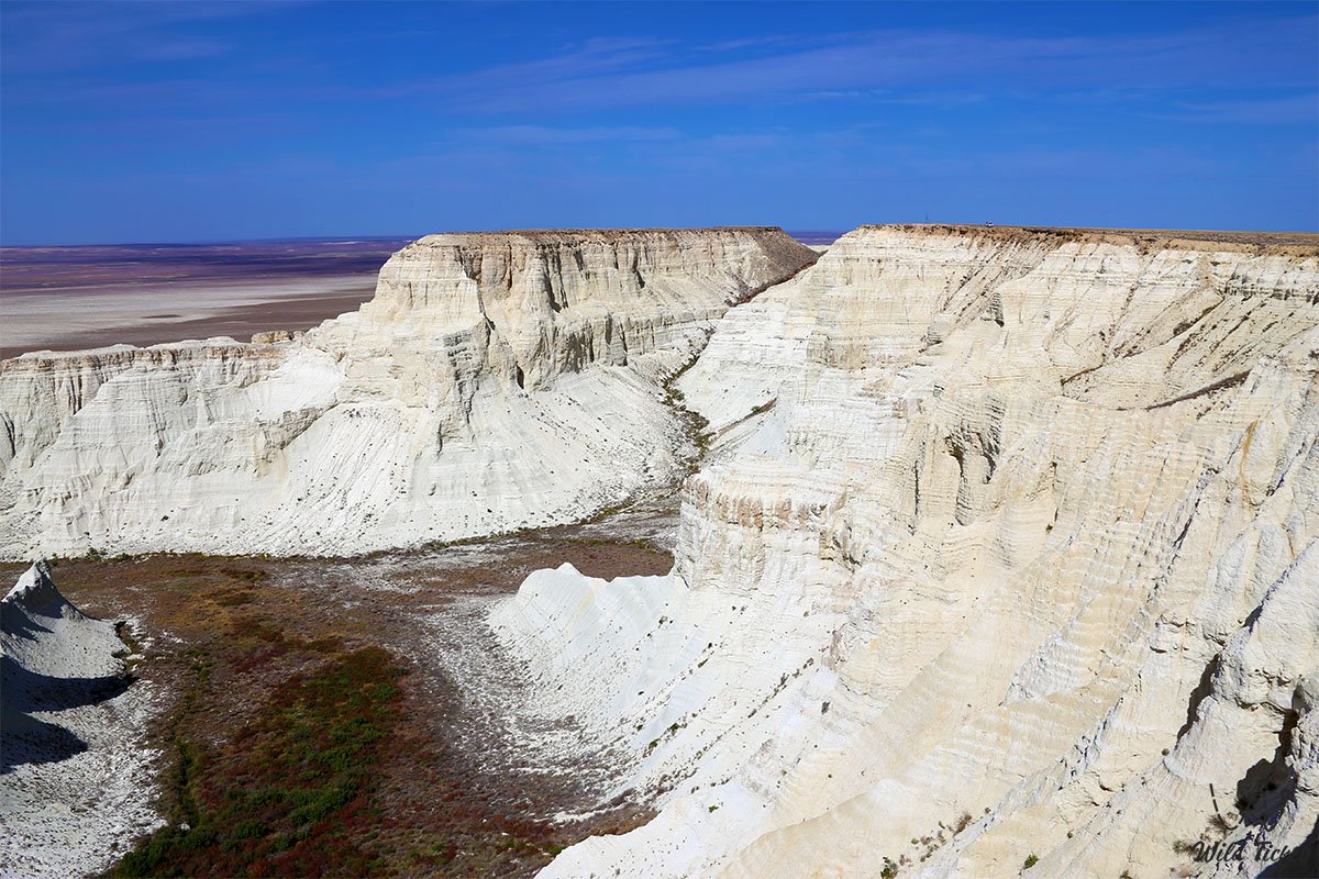
Aktolagai is a Cretaceous plateau, a ridge, a natural landmark, an incredibly beautiful and very popular place in the Aktobe region. Aktolagai is also a mountain range, a mountain range, translated from the Mongolian language Aktolagai means the top of the mountain.
The length of the ridge is 90 kilometers, the width is from 5 to 10 kilometers, the highest point is Mount Kiyakty, whose height is 217 meters above sea level, adjacent to the Caspian lowland.
---------------------------------------------
How to get there, visit -
The Aktolagai plateau is located 250 kilometers from the city of Aktobe, 41 kilometers from the village of Miyaly, 68 kilometers from the village of Akkiztogai, Bayganinsky district, Aktobe region, Republic of Kazakhstan.
GPS coordinates: 47°40'22"N 55°09'26"E
---------------------------------------------
Information
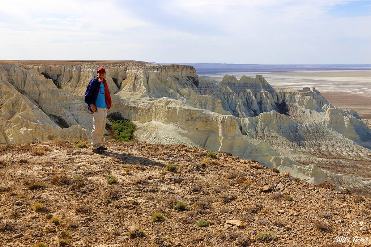
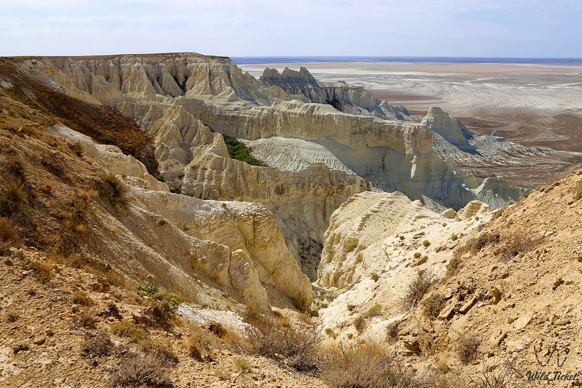
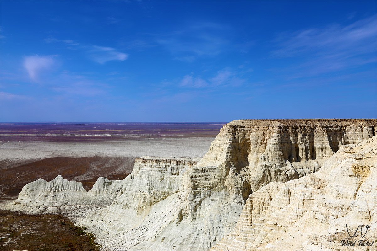
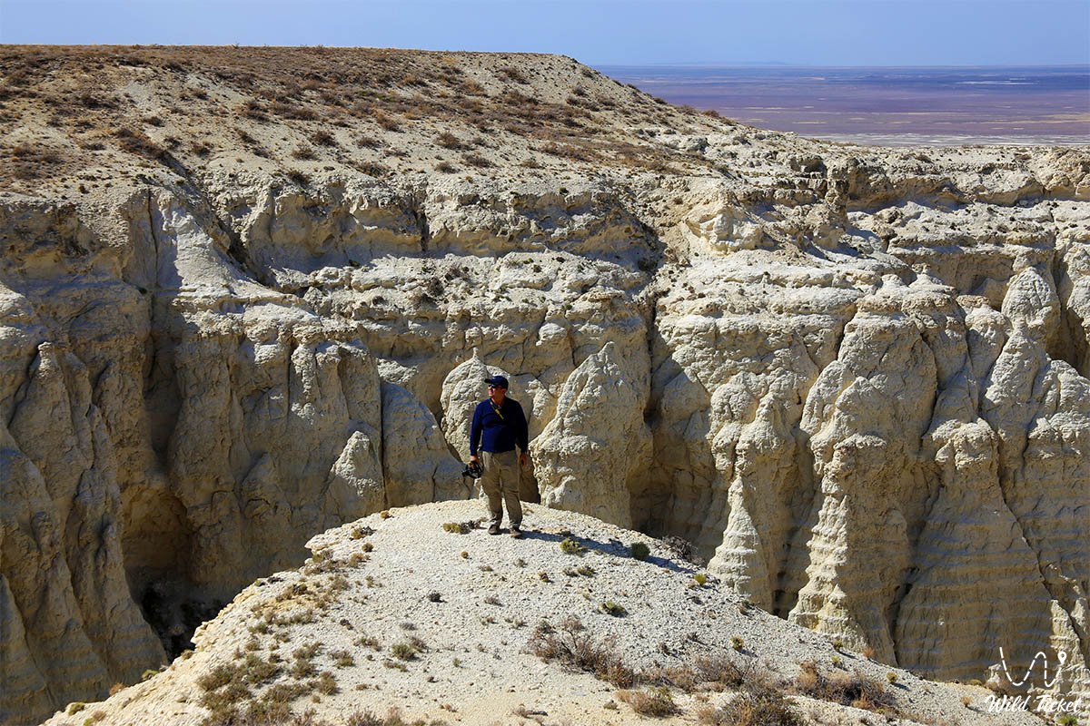
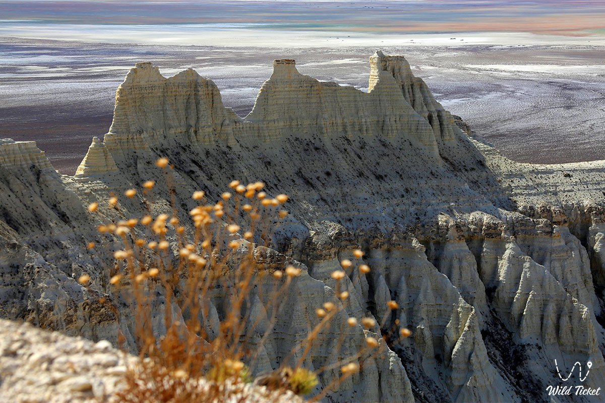
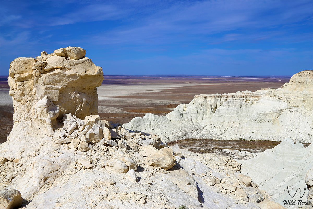
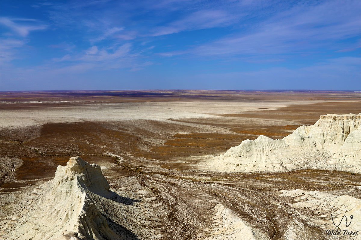
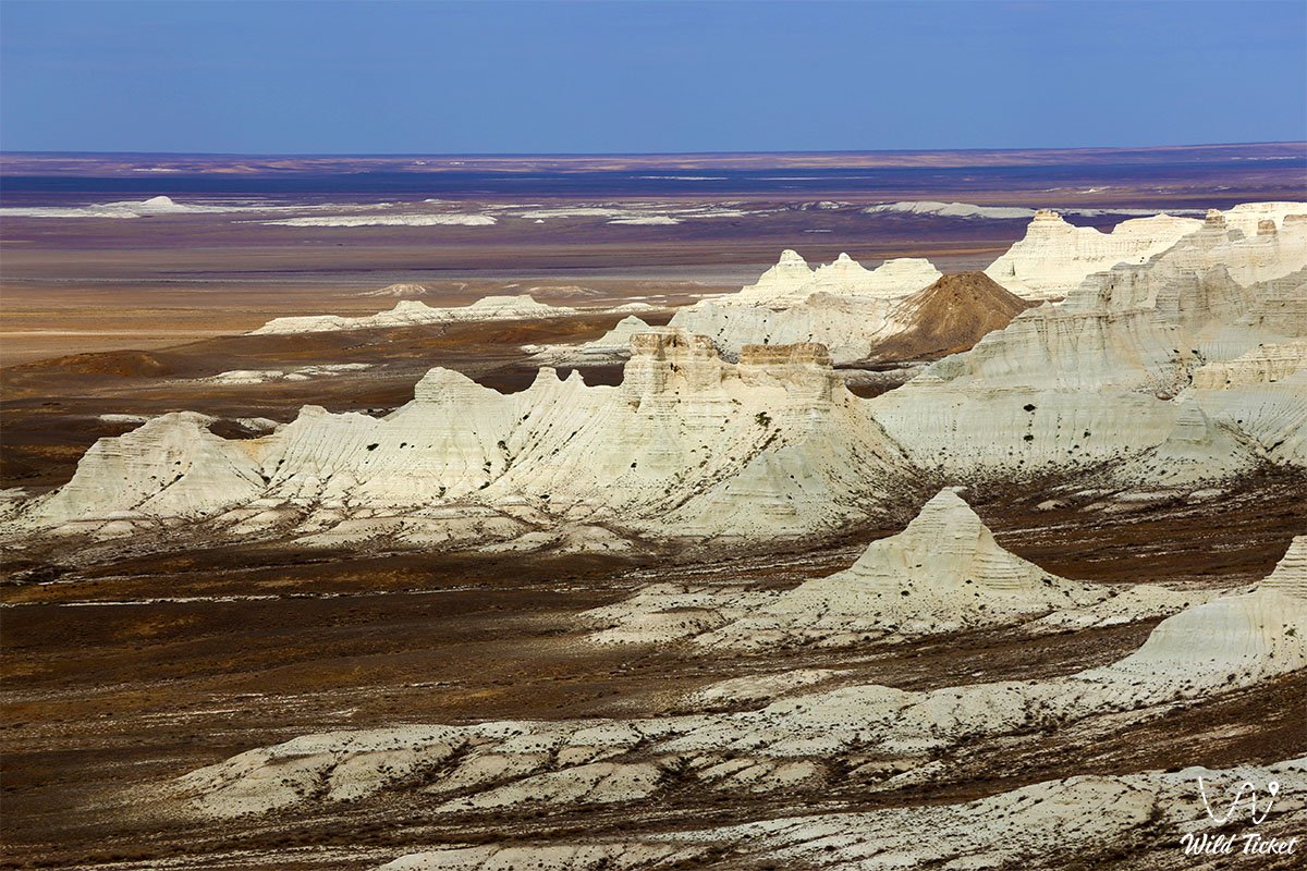
The Aktolagai ridge is part of a Cretaceous plateau consisting of ancient marine sediments, its western part is covered with fractured and ravines, the Terrisakkan River originates here, and Tolagaysor Lake is located in the west.
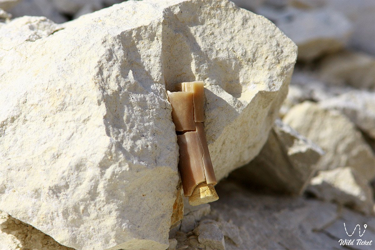
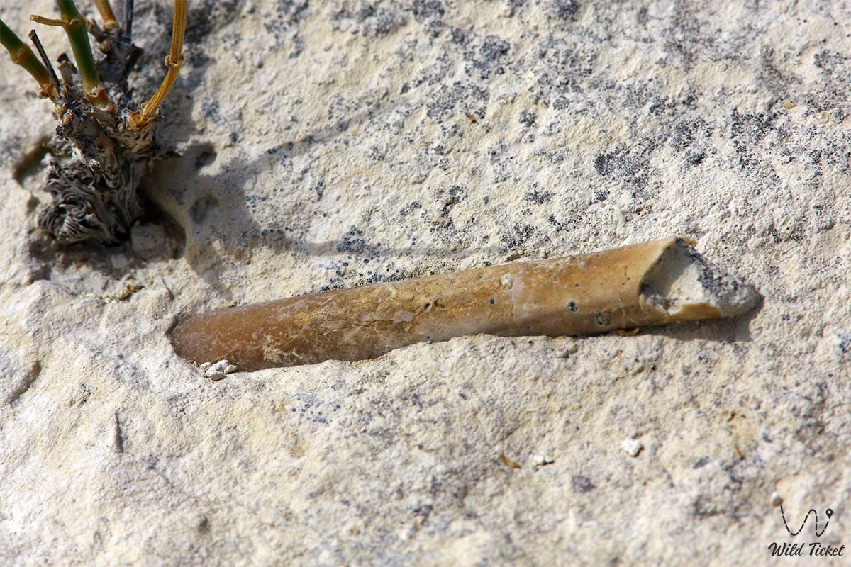
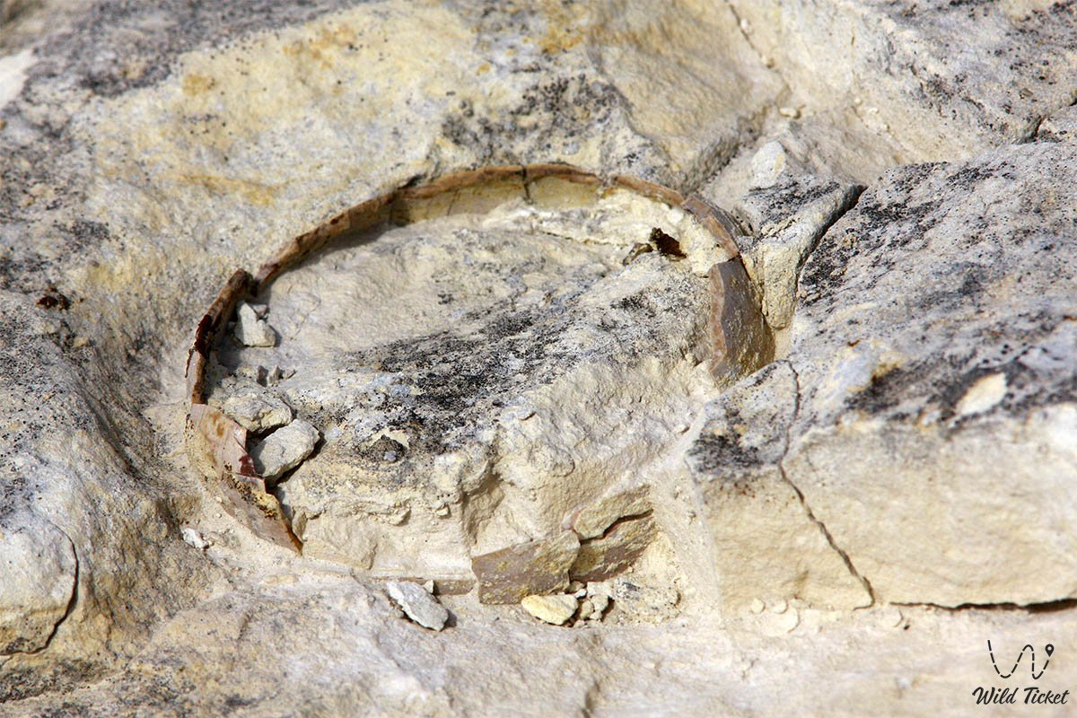
The plateau is formed by Cretaceous-marl rocks, snow-white chalk and calcareous strata of Cretaceous origin consist of fossils of billions of very small ancient organisms. Here you can find large fossils, for example, teeth of Cretaceous sharks, belemnites, fossils of ammonites, corals, sea urchins, etc.
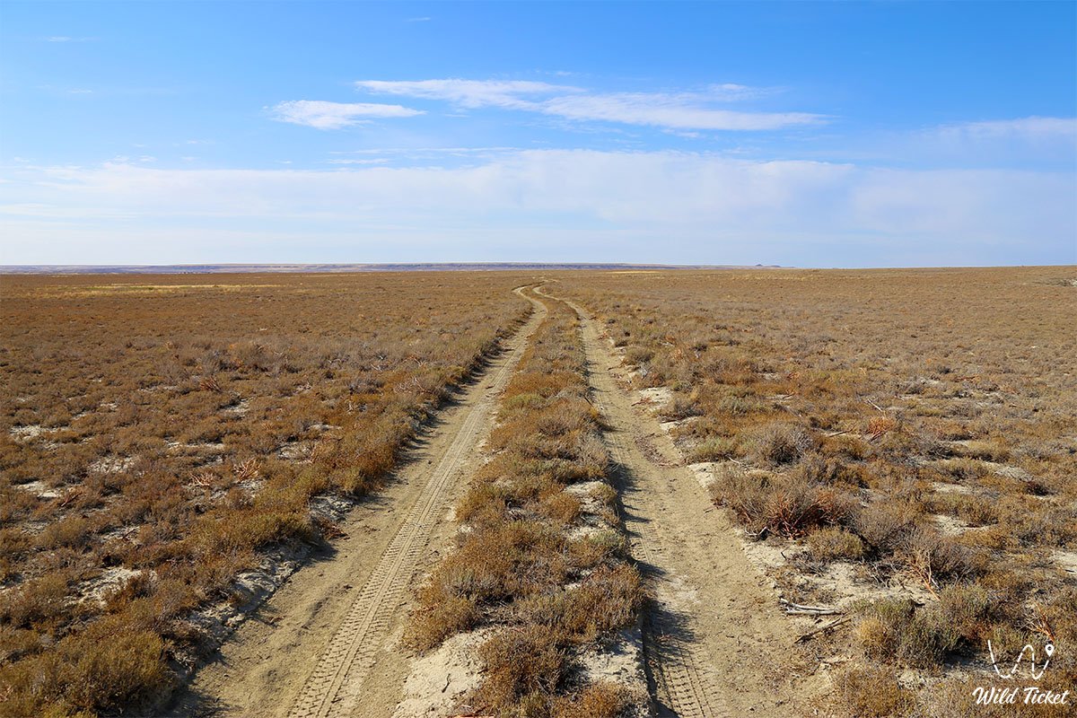
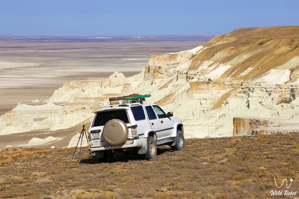
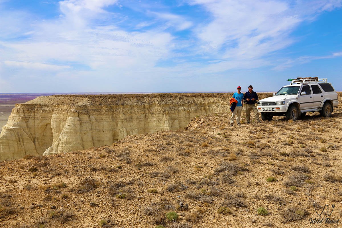
The surface plain of Aktolagai is bounded in its western part by a steep descending ledge, the depth of which sometimes reaches 140 meters. The most convenient way to get here from Aktobe is by 4x4 high-speed car.
Photogallery: