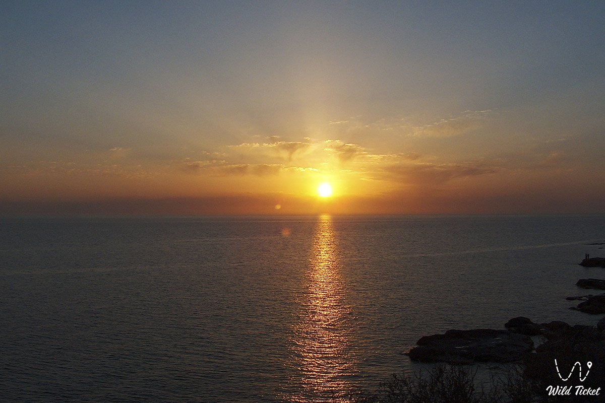
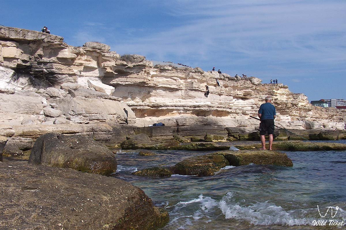
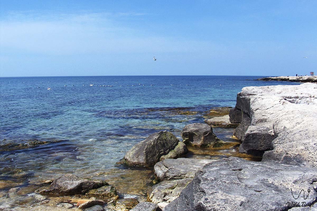
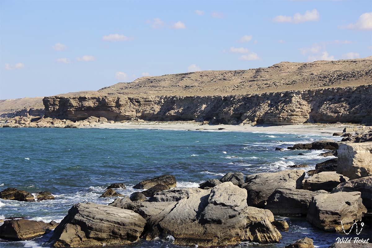
Deep waters of the Caspian, jagged coastline, and the maritime gateway of the peninsula –
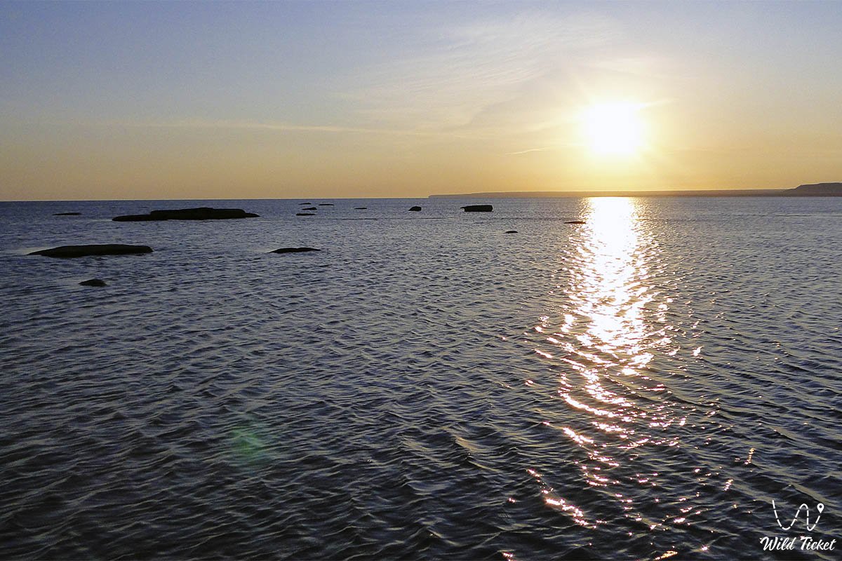
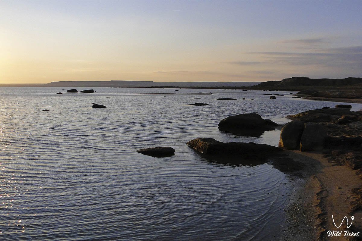
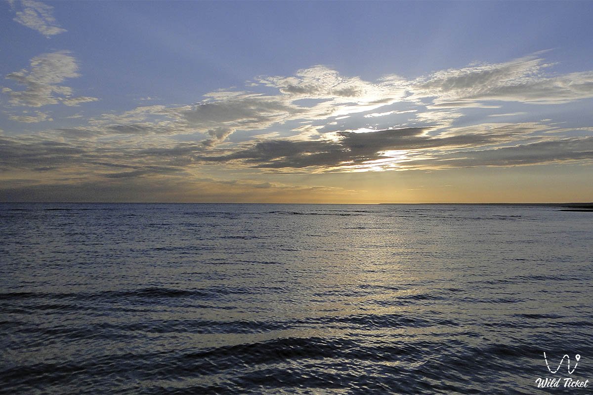
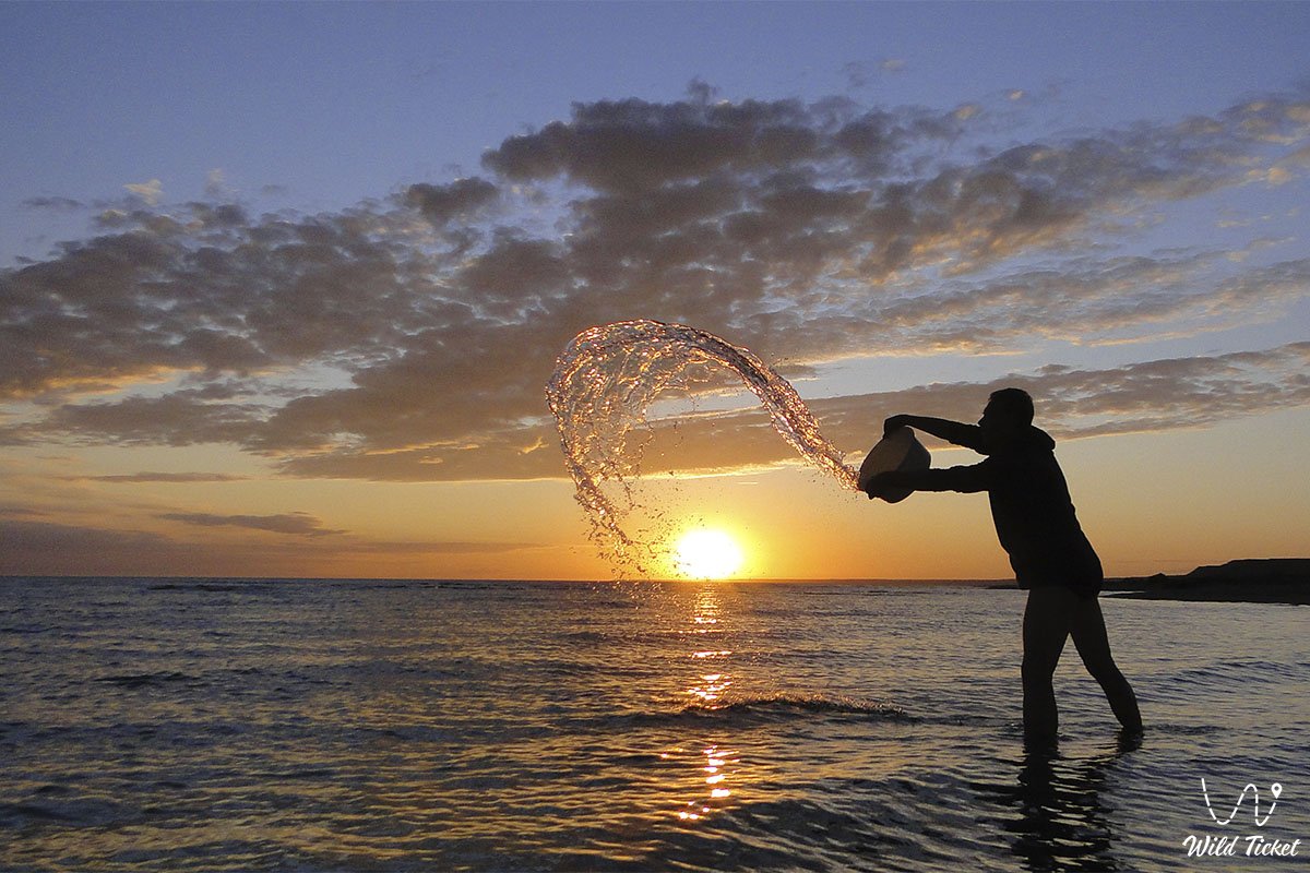
The Mangyshlak Bay represents one of the largest, geographically defining, and rugged marine basins in western Republic of Kazakhstan, shaping the northeastern offshore profile of the Caspian Sea along the shores of the Mangyshlak Peninsula. This vast marine expanse washes the northern and northwestern shores of the region, encompassing the waters between the microregions of the Tupkaragan district and the lowlands of the Buzachi Peninsula.
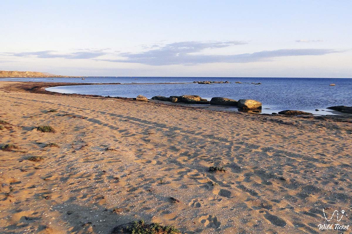
For miles around stretch distinct natural landscapes where the saline waters of the open Caspian meet the sheer scarps of coastal chinks, low salt-marsh shores, and sand spits that preserve traces of centuries-long hydrological shifts and ancient sea transgressions. Nearby lie two other notable embayments of the Caspian: Koshak Bay and Sarytas Bay.
Across the geography and navigation of the region, Mangyshlak Bay serves as a vital natural frontier crossed for centuries by sea routes, fishing corridors, and trade channels of Western Kazakhstan. In immediate proximity to the waters of the bay and its coastline lie historic settlements and port hubs, such as the town of Fort-Shevchenko, the port village of Bautino, and the shores of Tyub-Karagan Bay. Within a short driving distance from the shoreline lie scenic capes, Tamshaly and Kapamsay canyons, and the open waters of the Caspian Sea, which govern the climate and economic rhythm of the entire Mangystau region.
The geological framework of the bay's coastline is composed of thick sedimentary strata of Mesozoic and Cenozoic age, deposited upon the floor of the ancient Tethys Ocean and subsequent Caspian basins, represented by limestones, coquina beds, sands, and clays. From coastal points along the bay, dirt tracks and coastal graded roads lead travelers toward the sacred monuments of the Tupkaragan Peninsula, ancient rock-cut mosques such as Shakpak-Ata, and the ruins of ancient fortified settlements like Kyzylkala, which witness the long settlement history of these shores.
The spirit of Mangyshlak Bay lies in its union of rugged marine wilderness, the undisturbed silence of coastal salt marshes, and deep historical roots. Daily life on this coast has long depended on the variable moods of the Caspian, where nomadic clans and fishermen set up seasonal camps, and seafarers sought refuge in protected coves and harbors. Here, the salt water, steppe winds, and sun have shaped an ecological zone that bridges marine depths and arid land.
After exploring the waters of Mangyshlak Bay, travel itineraries head inland—toward monumental Mount Sherkala, the spherical concretions of the Torysh Valley, white chalk canyons, and the distant chinks of the Ustyurt Plateau.
Today, Mangyshlak Bay and its coastal strip are recognized as an essential natural and economic corridor of Eurasia, attracting researchers, biologists, and overland travelers. From the waters of the bay, maritime routes access the offshore Seal Islands, located out in the open sea.
--------------------------------------------
How to get there and visit –
Mangyshlak Bay washes the northern and northwestern shores of the Mangystau region, situated primarily within the Tupkaragan district and partially bordering the Mangystau district, Republic of Kazakhstan. The distance from the city of Aktau to the bay's coast and nearest harbor centers ranges between 130 and 170 km depending on the chosen bay or cape.
GPS geographical coordinates of Mangyshlak Bay:
44°40'26"N 51°02'29"E
The driving route from Aktau runs north along a modern paved republican highway past the coastal village of Akshukur (about 20–25 km from Aktau) toward the historic center of Fort-Shevchenko and the port settlement of Bautino (about 130–140 km from Aktau, 1.5–2 hours of driving on smooth asphalt). From Fort-Shevchenko and Bautino, dozens of kilometers of hard-packed gravel roads and coastal twin tracks head out toward Cape Tyub-Karagan, Cape Sagyndyk, and secluded inlets.
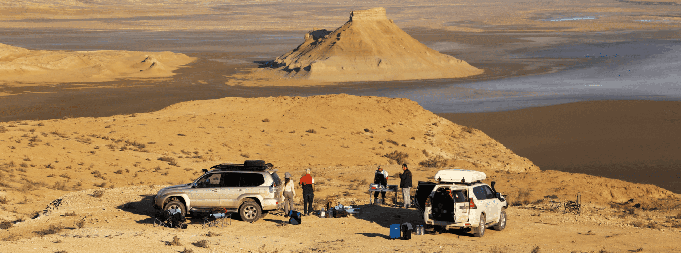
Traveling along the bay coast requires complete self-sufficiency: driving on asphalt is straightforward for any vehicle, but turning off toward wild beaches and rocky bays demands a capable four-wheel-drive vehicle (4x4) with high ground clearance, sturdy suspension, and durable tires. Sharp coquina shell deposits and coastal rocks place heavy stress on tires, making a functional tire compressor and a reliable spare wheel essential.
During autumn and spring storms or rain showers, packed clay soils along the shore and saline flats (sors) soften into slick, greasy mud that can trap vehicles.
Visiting regulations: the coast and open waters of the bay are natural areas accessible for recreation, angling, and exploration. Portions of the coastal belt fall under port or industrial jurisdiction, where local safety rules must be respected. Because the area lies within a border zone, travelers must carry original identification documents (passport or national ID card).
Infrastructure: fuel stations, hotels, tire repair shops, grocery stores, and medical stations are located in Fort-Shevchenko and the village of Bautino. Along undeveloped coastal stretches, facilities are entirely absent, and mobile network reception inside remote coves can be intermittent. Expedition teams must carry adequate potable water, extra fuel in canisters, and offline satellite navigation maps.
Best time to visit – spring (mid-April to late May), when the shoreline greens up with blooming steppe vegetation under mild temperatures, and early autumn (September – October), which is well-suited for coastal travel without summer heat.
--------------------------------------------
History
Human presence around Mangyshlak Bay and its shores traces back to the Paleolithic and Neolithic eras, when early hunters and fishermen took shelter along the headlands and terraces of the Tupkaragan Peninsula, drawing on the aquatic resources of the Caspian Sea. For centuries, these coastlines served as a natural gateway for tribal migrations and the development of nomadic cultures across Mangystau.
During the Middle Ages, the waters of the bay and adjacent Tupkaragan lands formed an important link along regional trade paths. Caravan tracks and seaside havens connected Central Asian oases and Khwarazm with northern steppe territories. Sea and land routes of the Great Silk Road crossed this area, fostering coastal settlements, fortified outposts, and sacred sites—including ancient necropolises and underground mosques such as Shakpak-Ata.
Modern history saw Russian and European scientific missions in the 18th and 19th centuries charting the hydrography of the Caspian, which spurred commercial navigation and coastal fisheries. Strategic fortified posts were founded on the bay's edge: Fort-Shevchenko (initially Novopetrovskoye Fort) and the port of Bautino, which grew into the main maritime hub of northern Mangyshlak. Notable historical figures spent periods of exile here, including Ukrainian poet Taras Shevchenko, whose time on the peninsula remains part of regional history.
With industrial development in Western Kazakhstan during the 20th and 21st centuries, Mangyshlak Bay and surrounding lands gained strategic economic importance. The coastline became an operational base supporting exploration, commercial shipping, and offshore development for giant petroleum deposits such as Kashagan, Kalamkas, and Karazhanbas. Today, Mangyshlak Bay connects historical maritime heritage, the fragile habitats of the Seal Islands, and contemporary Kazakhstani shipping facilities.
Information
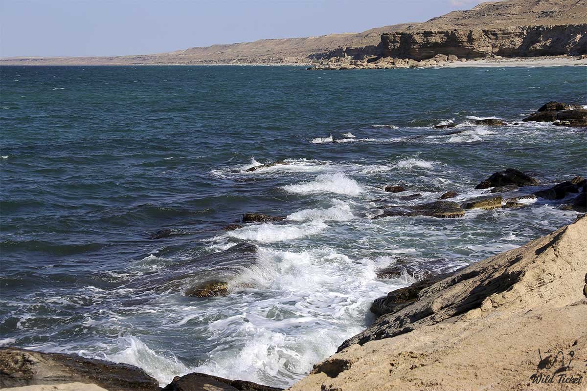
Geomorphologically, Mangyshlak Bay is the largest open embayment in the northeastern Caspian Sea, bordered to the west and northwest by the rocky mass of the Tupkaragan Peninsula and its sea cliffs, while merging to the east and northeast into the coastal salt pans, takyrs, and mudflats of the Buzachi Peninsula. The surface area and shoreline fluctuate due to multi-year sea-level cycles in the Caspian.
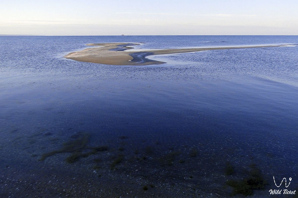
The geological basement of the shoreline and seabed is built from thick Mesozoic and Cenozoic sedimentary strata resting atop a Precambrian platform. Marine terrace benches, shell-hash beds, Quaternary clays, and active windblown dunes shape the perimeter. The eastern sector remains shallow, giving rise to the Seal Islands archipelago (including Kulaly, Morskoy, Ptichy, and Durnev Bank), as well as connected shallow embayments such as Koshak, Sarytas, and Tyub-Karagan, which together form an integrated littoral ecosystem.
The coastal climate is sharply continental, tempered by the water mass of the Caspian, yet marked by year-round winds and high evaporation. Winters are moderately cold and breezy, with January temperatures averaging -4...-8 °C; during severe winters, shallow eastern coastal bays freeze over. Summers are hot and dry, averaging +26...+29 °C in July, while daytime sand and salt-pan surfaces heat up significantly. Annual precipitation is scarce, totaling 130–170 mm.
The hydrological regime of the bay is driven by wind-induced seiches (surges and retreats) and seasonal Caspian water-level shifts. Water salinity here is higher than in the open central Caspian due to strong evaporation across shallow inlets and neighboring salt depressions.
Detailed description of the venue
The coastal and marine complex of Mangyshlak Bay includes the following elements:
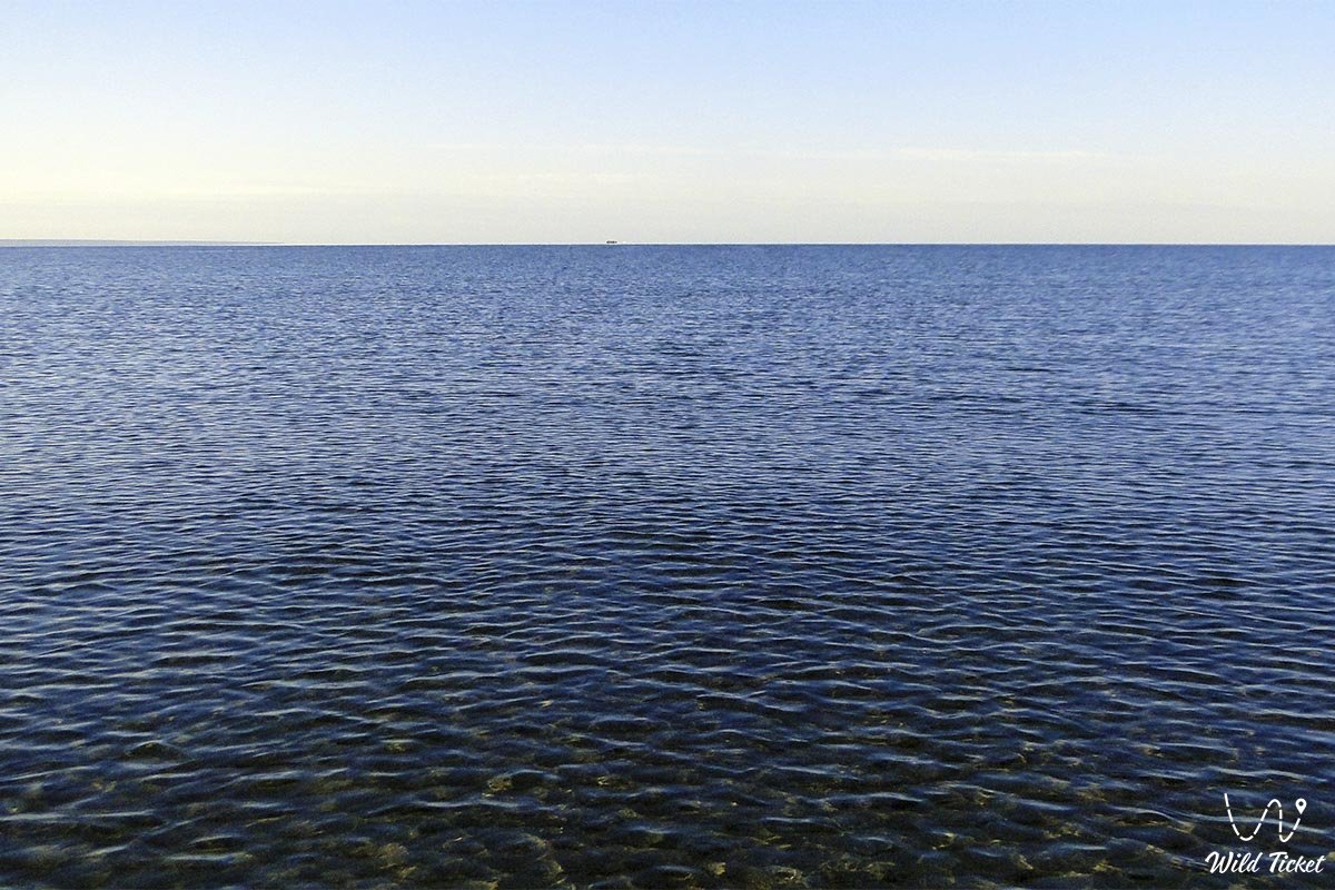
• Open marine waters and shallow embayments – vast tracts of Caspian waters linking the main body of Mangyshlak Bay with the shallow inlets of Koshak Bay, Sarytas Bay, and historical Tyub-Karagan Bay.
• Tupkaragan Peninsula and Cape – the elevated stone massif of the Tupkaragan Peninsula and its prominent Cape Tyub-Karagan, projecting into the sea as a natural navigational landmark.
• Archipelago of the Seal Islands – an island chain in the northern and northeastern waters (including Kulaly, Morskoy, Ptichy, and Durnev Bank) that provides spawning grounds, bird nesting areas, and natural haul-outs for the endemic Caspian seal.
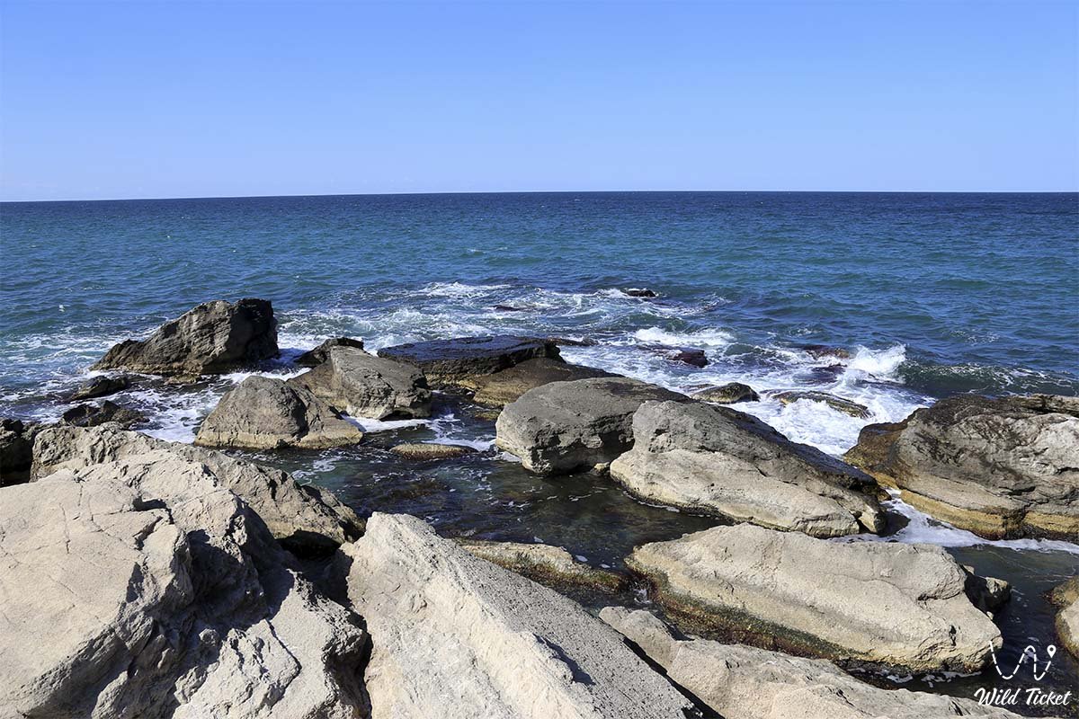
• Indented coastlines and sandy spits – dynamic littoral segments with barrier beaches, spits, and storm ridges shaped by long-term wave action and coastal currents.
• Littoral salt marshes and sors – low-lying saline depressions and clay takyrs subject to seasonal inundation, drying out under the sun to form hard salt crusts.
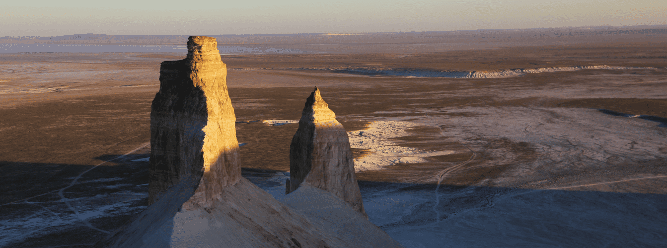
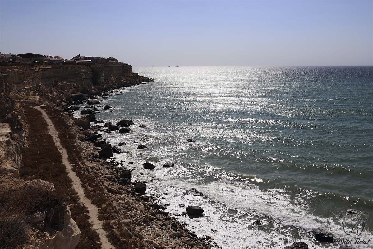
• Sheer cliff escarpments and headlands – coastal scarps where the desert plateau of Tupkaragan drops straight down into the turquoise waters of the Caspian Sea.
• Historic port harbors and settlements – maritime outposts in Bautino and Fort-Shevchenko, joining historical sea routes with modern industrial shipping.
• Coastal graded roads and access tracks – unpaved corridors connecting isolated coves, beaches, and headlands to the main highway grid of the Mangystau region.
Flora and fauna
The natural environment of Mangyshlak Bay combines arid desert ecosystems with Caspian wetland habitats, where flora and fauna adapt to salinity and limited freshwater.
Vegetation (flora): plant cover along the shores and salt marshes is distinctly halophytic and xerophytic. Saline mudflats are colonized by glasswort (Salicornia), Halocnemum strobilaceum (sarsazan), Kalidium, and Anabasis salsa (biyurgun), which tolerate high salt concentrations. Sand spits, coastal dunes, and rocky benches support black wormwood communities, tamarisk (saltcedar) thickets, Page's saltwort, and hardy grasses.
In spring (April–May), the coastal plains green up briefly with flowering ephemerals, Schrenck's wild tulips, and salt-tolerant herbs before summer aridity sets in.
Wildlife (fauna): the bay waters and sheltered shallows provide a major stopover along intercontinental flyways for migratory waterbirds. Spring and autumn passages bring Dalmatian and great white pelicans, mute swans, grey and great white egrets, ruddy shelducks, greater flamingos, gulls, terns, and shorebirds.
The Caspian Sea hosts roughly 30 fish species, including valuable sturgeons, Caspian roach, common carp, grey mullet, and zander (pike-perch), alongside the endemic Caspian seal. On land, the coastal clay scarps and sors are inhabited by long-eared hedgehogs, tolai hares, corsac foxes, wolves, and desert rodents (great gerbils and jerboas). Reptiles include toad-headed agamas, rapid fringe-toed lizards, steppe vipers, and dice snakes inhabiting coastal reed beds and rocky gullies.
Legend
An ancient steppe legend concerning the White Caravan and the Sea Spirit of the Caspian is told along the shores of Mangyshlak Bay.
Lore relates that in ancient times, a merchant caravan carrying valuables from eastern trading towns attempted to cross the coastal shallows during a sudden storm. Surging waves threatened to swallow the cargo, prompting an old caravan leader to call upon the natural elements, casting his wooden staff into the sea to save his companions. The waters subsided, and local tradition holds that the bay keeps the memory of lost treasures, while Caspian storms clear as quickly as they rise, leaving smooth shells along the sand spits in memory of that trial.
Conclusion
Mangyshlak Bay is an expansive natural basin where the desert landscapes of Mangystau meet the open waters of the Caspian Sea. The bay and its coastline preserve historical sea routes, support regional transport links, and sustain the coastal ecosystems of Western Kazakhstan.
Interesting sights nearby:
• Tyub-Karagan Bay;
• Town of Fort-Shevchenko;
• Port Village of Bautino;
• Tupkaragan Peninsula;
• Tamshaly Canyon;
• Kapamsay Canyon;
• Saura Tract;
• Zhygylgan Sinkhole;
• Cape Tyub-Karagan;
• Cape Sagyndyk;
• Cape Tokmak;
• Akshukur Village;
• Mount Sherkala;
• Torysh Valley of Stone Balls;
• Karagiye Depression.
Sacred sights and pilgrimage destinations:
• Shakpak-Ata Underground Mosque;
• Sultan-Epe Necropolis;
• Kenty-Baba Necropolis;
• Ketikkala Ancient Settlement;
• Beket-Ata Underground Mosque;
• Shopan-Ata Underground Mosque;
• Karaman-Ata Underground Mosque.
Photogallery: