Coastal rocky outpost with submerged grottoes and an ancient lighthouse –
Cape Sagyndyk (also known in cartographic sources and historical literature as cape Segendy, Sygyndy, Adaisky, or popularly as the 43rd kilometer) is an outstanding coastal natural-historical monument and a picturesque rocky outpost on the eastern shore of the Caspian Sea in the Tupkaragan district. Hundreds of millions of years ago, this entire area was the floor of the colossal prehistoric Tethys Ocean.
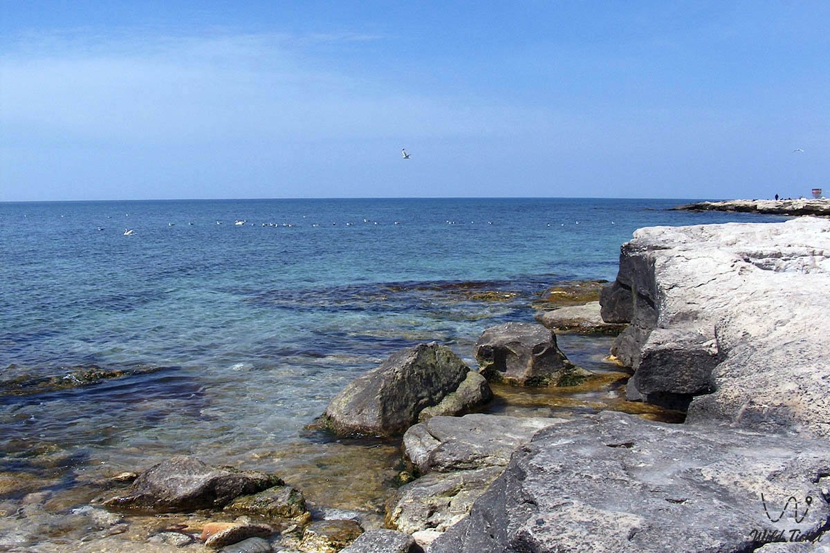
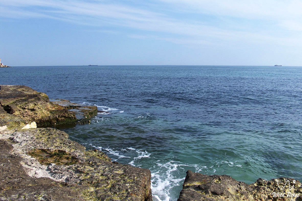
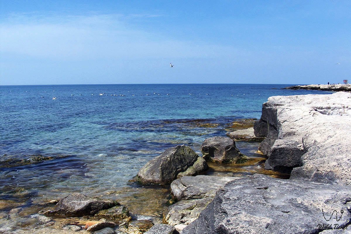
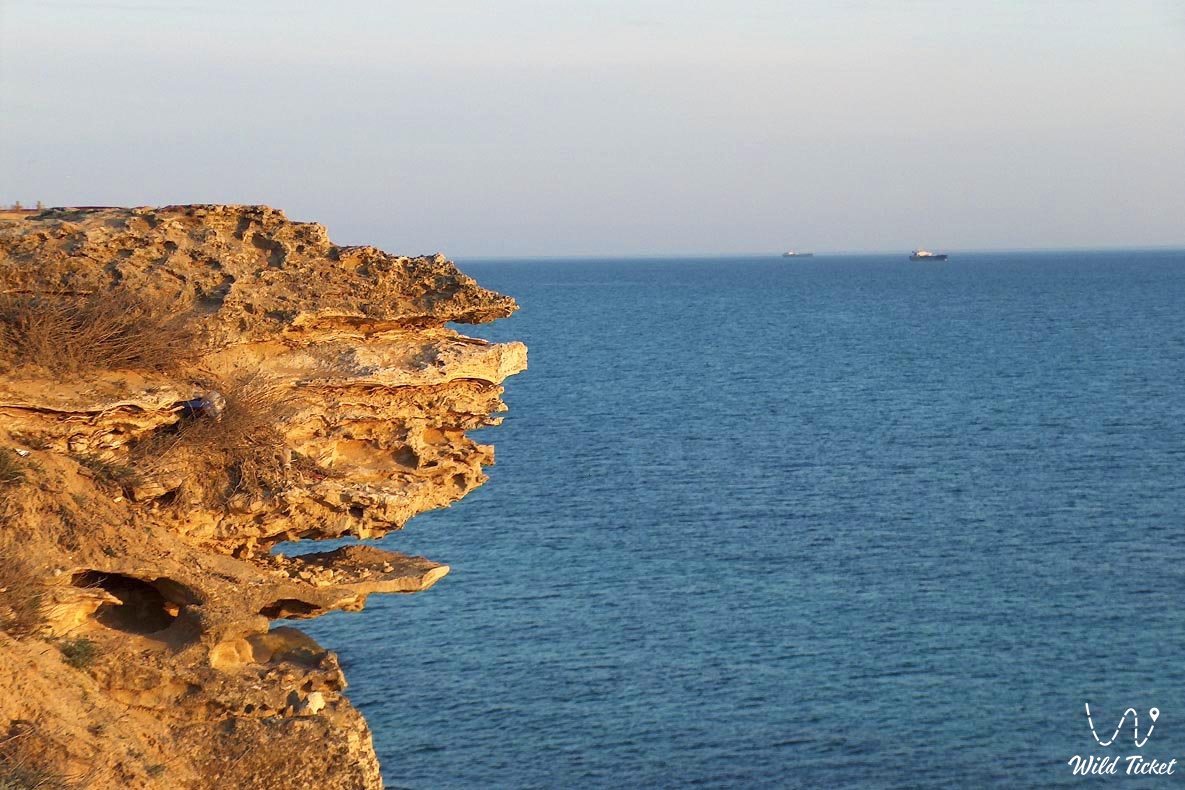
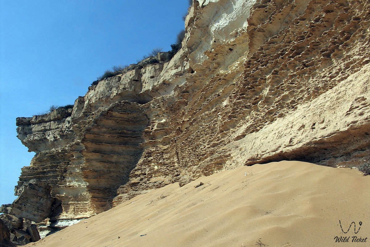
Across shallow bays of Mesozoic and Cenozoic basins throughout geological epochs, continuous deposition of carbonate silts, skeletons of extinct marine organisms, and mollusk shell valves took place, forming thick layers of Sarmatian and Pontian coquina limestones. The coastal slabs of the headland are dissected by deep vertical fissures, which surf waves have carved and polished into extended underwater channels, labyrinths, and semi-submerged rock galleries.
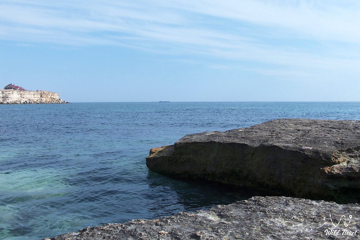
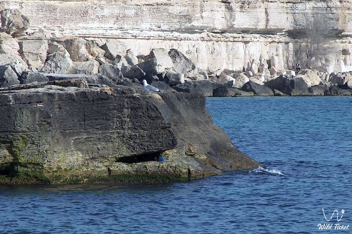
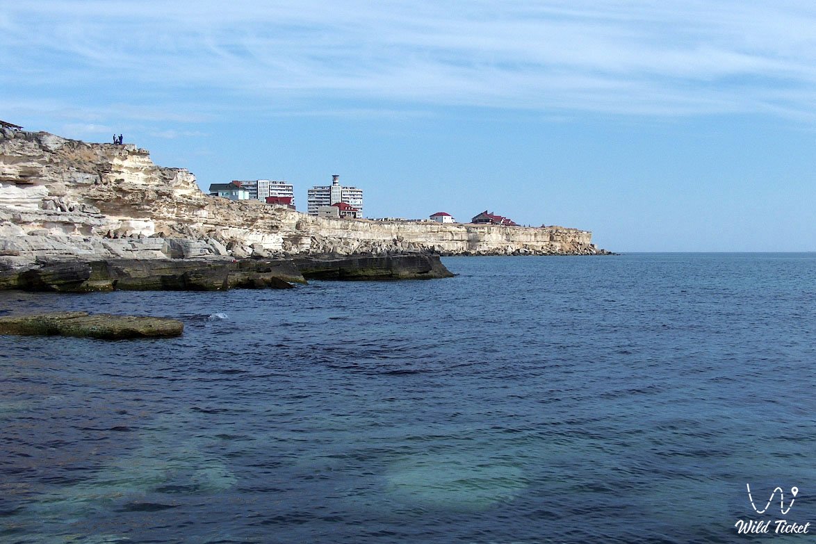
The main highlight of cape Sagyndyk is the combination of dizzying limestone cliffs rising up to 68 m above sea level and clear deepwater lagoons, drawing enthusiasts of scuba diving, spearfishing, and wild camping. The deep water along the coastal zone historically allowed seafarers to use this marine area, sheltered from northern winds, as a safe anchorage and natural harbor.
Atop the plateau, silent witnesses of past epochs remain: an old navigation lighthouse, ruins of the ancient fortified Adaisky wall, and an ancestral necropolis dating from the 18th to the early 20th centuries, linking the primeval maritime expanse with centuries of chronicles of the nomadic Aday clan.
In the travel geography and expedition logistics of the Mangyshlak peninsula, cape Sagyndyk occupies a strategic position on the southwestern face of the Tupkaragan peninsula. The cape projects into the open sea approximately 43–48 km northwest of the regional center of Aktau and 95–100 km southeast of the museum town of Fort-Shevchenko. The site serves as a starting point for exploring the entire coastal route of the region. Just 15 km to the north along the shoreline lies the famous Golubaya bay with golden sands and rocky residual buttes.
Heading northward reveals the unique Saura gorge with its relict freshwater lake Karakup, the deep Tamshaly canyon and Sultan-epe canyon with the rock-hewn Sultan-epe mosque, Kapamsay canyon, the giant Zhygylgan sinkhole, and the sandy shores of Sarytash bay. Directly adjoining cape Sagyndyk to the south is the rugged cape Skalisty, in whose offshore shelf zone geologists surveyed the major "Skalistoye More" marine hydrocarbon field.
--------------------------------------------
How to get there and visit –
Cape Sagyndyk is located on the southwestern coast of the Tupkaragan peninsula in the Tupkaragan district of the Mangistau region, between the seaside village of Akshukur and Golubaya bay, Republic of Kazakhstan. The distance from the city of Aktau is about 43–48 km, from Aktau International Airport around 35 km, from Akshukur village roughly 25–28 km, and from the town of Fort-Shevchenko around 95–100 km along the coastal highway.
GPS geographic coordinates of cape Sagyndyk:
44°01'44"N 50°52'55"E
The route from the city of Aktau leads northwest along the regional paved Aktau – Fort-Shevchenko highway through the suburban village of Akshukur. At the 43rd kilometer mark on the highway, turn left (southwest) onto a well-traveled dirt road that crosses the level plateau toward the coastal precipice of the Caspian Sea (about 4–6 km across firm ground and crushed stone). Total travel time from the center of Aktau by car takes about 45–60 minutes.
Access roads and vehicle requirements: thanks to its proximity to the paved highway, reaching the upper viewpoint by the lighthouse on the edge of the plateau in dry weather is manageable in practically any passenger car. However, descending to the lower rocky terraces, driving along the stony shoreline, and negotiating deep washouts and loose sand in the lagoons requires a four-wheel-drive 4x4 off-roader with ground clearance of at least 200 mm.
Sharp fragments of coquina and flint on the steppe approaches pose a risk to soft tires: vehicles must be equipped with All-Terrain (AT) tires with reinforced sidewalls, an operational spare wheel, a tire compressor, a tow strap, and a hydraulic jack. During prolonged spring or autumn rains, the clay access tracks become slick.
Walking excursions and safety precautions: exploring the cape is conducted on foot along paths following rock ledges and coastal terraces. Caution is essential when standing near the edge of the 68-meter cliff: gusty sea winds can cause a loss of balance. Walking onto overhanging coquina ledges susceptible to sudden fractures and rockfalls is strictly prohibited.
Investigating wave-cut galleries and lagoons requires sturdy trekking footwear with grippy non-slip soles, as wet limestone coated with algae is slippery.
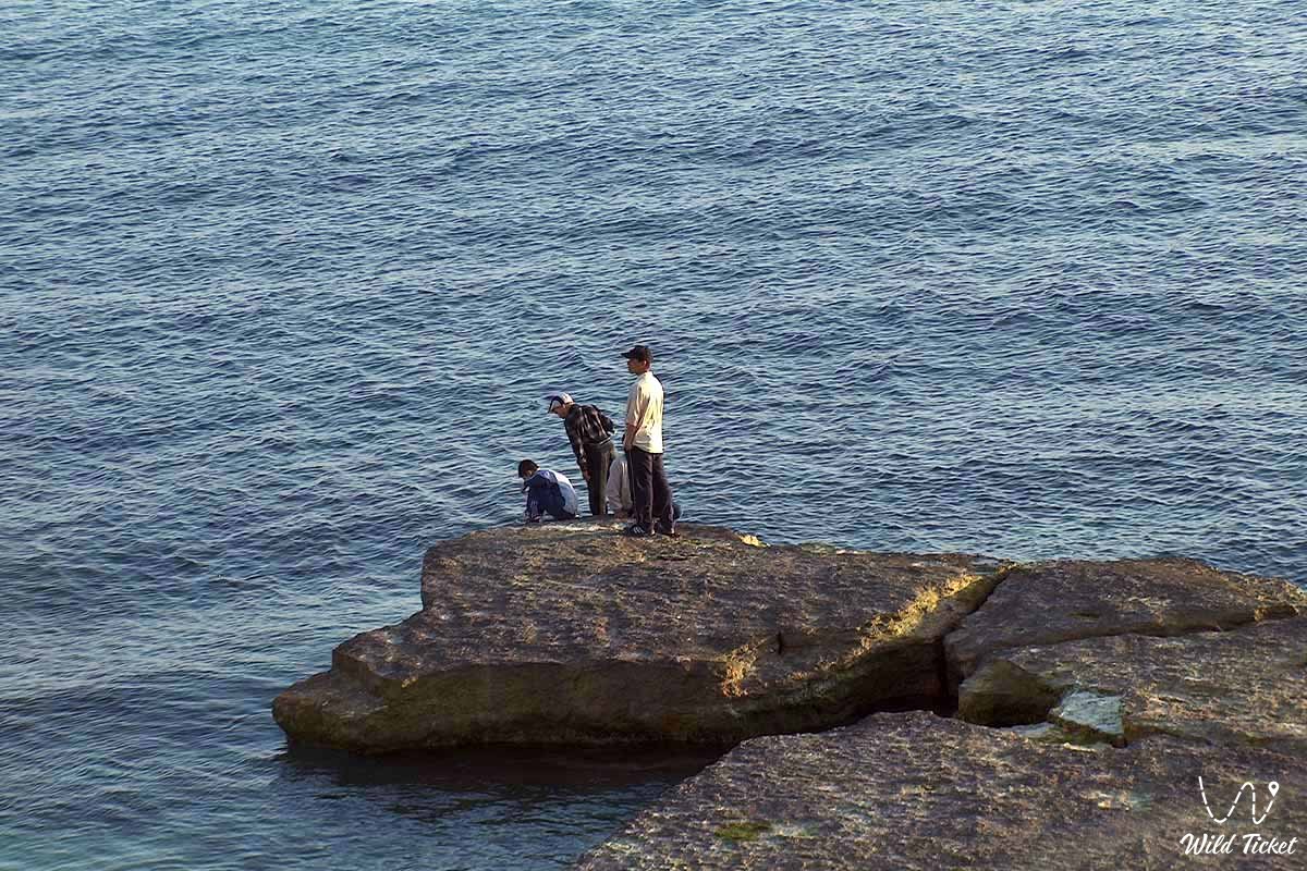
ATTENTION: despite the popularity of cliff diving among thrill-seekers (ledges reach heights of 8–10 m), jumping into the water is STRICTLY PROHIBITED. The underwater area of the cape is strewn with giant boulders and sharp reefs hidden beneath the surface, while strong rip currents can carry swimmers out into the open sea. Snakes frequently bask on rocks and in crevices during hot hours, so watch your step carefully.
Environmental safety rules: due to its accessibility, cape Sagyndyk experiences heavy anthropogenic pressure.
Within the boundary of the cape and wild beaches, it is STRICTLY MANDATORY TO:
– observe environmental etiquette and take all household trash (bottles, plastic containers, packaging, and bags) back to city dumpsters;
– strictly avoid leaving trash piles on beaches or discarding waste into rock crevices;
– avoid driving vehicles directly onto the surf line and sandy sections of lagoons;
– refrain from applying paint or graffiti onto coastal limestone monoliths and the walls of historical grave monuments;
– leave the stone masonry of the Adaisky wall and structures of the necropolis intact;
– light fires strictly inside portable camp grills or prepare food on portable gas stoves, avoiding open fires in high sea winds.
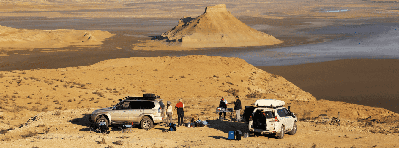
Infrastructure: cape Sagyndyk completely lacks resort or tourist infrastructure. There are no developed beaches, hotels, designated camping sites, freshwater sources, or trash containers. Stays are organized on a self-sufficient wild-camping basis. Visitors must bring a drinking water supply (at least 3 liters per person per day), utility water, windproof tents with reliable storm guy lines, and sun shades.
The nearest modern fuel stations, supermarkets, auto repair shops, and pharmacies are located in Akshukur village (25–28 km) and in Aktau (45 km). Mobile phone reception from major operators works steadily on the upper plateau near the lighthouse, but signal reception can drop under sheer cliff faces right by the water's edge.
Best time to visit is from late May to early October. The velvet season falls in September and the first half of October: the sea remains warm (+22...+24 °C), the summer heat subsides, and water clarity for diving and underwater photography reaches its peak.
In June, July, and August, daytime temperatures under direct sunlight regularly exceed +35...+38 °C, though continuous fresh sea breezes make conditions along the coast manageable, and evening hours provide picturesque sunsets over the Caspian Sea.
--------------------------------------------
History
The history of cape Sagyndyk spans millions of years, uniting the geological record of the relict Tethys Ocean, ancient maritime trade routes of the Caspian basin, and the defensive heritage of the Kazakhs of the Junior Zhuz. During the Mesozoic and Paleogene epochs, deep shelf areas of the Tethys Ocean stretched across this area, where continuous sedimentation occurred.
The uplift of the Turan plate and the regression of oceanic waters brought limestone strata to the surface, after which the wave dynamics of the prehistoric Khvalynian and New Caspian seas carved the coastal scarp into a sheer rock wall.
In the writings of 19th-century researchers, the shoreline of Mangyshlak received detailed physical-geographical descriptions. Naturalist Dmitry Livkin noted in his scientific monograph on the Caspian coast: "Near cape Urdyuk, the shoreline changes direction to the southeast; the coastal strip, gradually rising, forms a narrow terrace between the ridge and the shore, plunging steeply to the sea. The submerged part of the coast is obstructed by enormous rocks protruding above the water surface. This character of the coast continues to cape Sagyndyk."
The deep nearshore water of the cape historically drew seafarers. In contrast to the shallow sandbars along the northern part of the peninsula, large sailing and rowing vessels at cape Sagyndyk could approach right up to coastal terraces, finding reliable shelter here during harsh autumn gales. This made the cape an essential intermediate anchorage along the sea trade route linking the mouth of the Volga, the ports of the North Caucasus, the shores of Persia, and the oases of the Khiva Khanate.
Preserved on the plateau near the cape are monumental fortifications from the Middle Ages and Modern era, known in regional literature as the Adaisky wall (earthen and stone defensive ramparts). These walls served as observation outposts and protection for nomadic clans against attacks by sea raiders and enemy landing parties. In the 18th to early 20th centuries, an ancestral necropolis formed on the high ground, featuring carved stone stelae (kulpytases) and sarcophagi preserving the memory of batyrs and elders of the Aday clan.
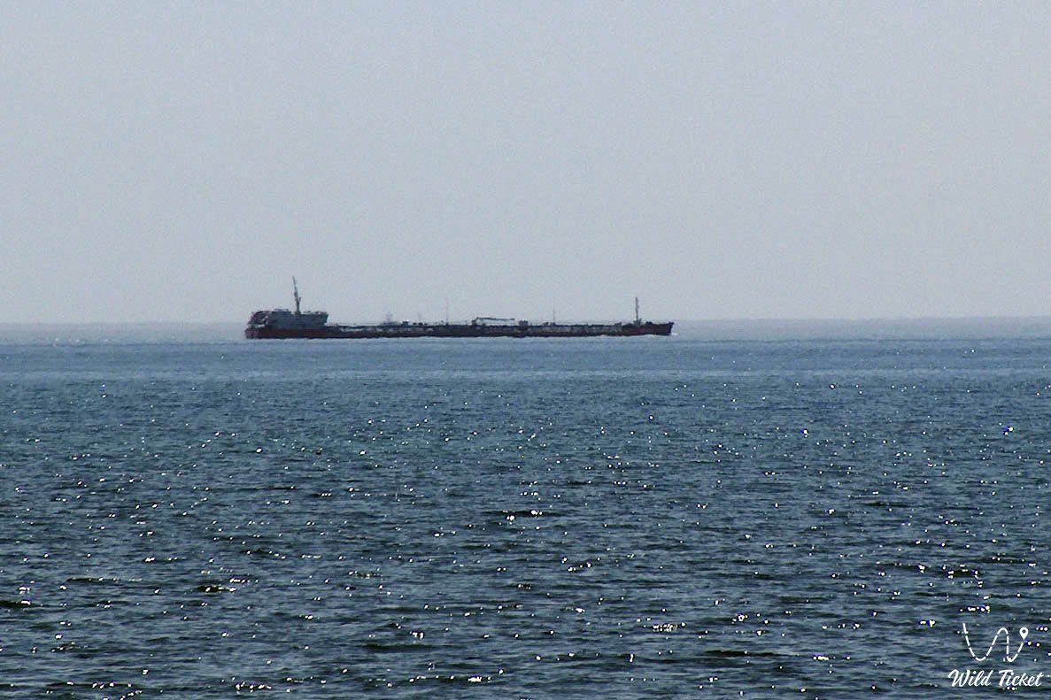
In the 20th century, a permanent navigation lighthouse was erected on the cape to secure shipping lanes past the treacherous reefs of Tyubkaragan. With the discovery of the major offshore "Skalistoye More" oil field in the late 20th century, the cape's waters gained strategic value for Kazakhstan's energy sector. In recent decades, following the construction of the modern Aktau – Fort-Shevchenko highway, the site known as the "43rd kilometer" has become a popular center for wild coastal travel and scuba diving.
Information
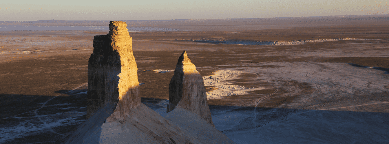
In geological and geomorphological terms, cape Sagyndyk is an abrasional-denudational structural rock massif composed of gently dipping beds of Upper Miocene and Pliocene coquina limestones of the Sarmatian and Pontian stages, formed at the bottom of the Tethys Ocean.
The highest elevation of the rocky plateau is 68 m above sea level. The coastline exhibits distinct vertical zoning:
1. Upper tier – a flat stony plateau with bedrock limestone outcrops and a thin layer of gravelly gray-brown soils.
2. Middle tier – sheer vertical rock cliffs 15 to 40 m high, pitted with wind-eroded niches and karst cavities.
3. Lower tier – wave-cut benches, rock platforms, and narrow pebble-sand lagoons.
The principal hydrogeological characteristic of the coast is the extensive development of coastal wave-cut karst and jointing. Caspian storm waves penetrated tectonic fractures in the limestone, washing out softer fractions and carving out long underwater channels, deep rock corridors, and semi-submerged grottoes. In calm weather, these galleries become natural pools filled with clear water.
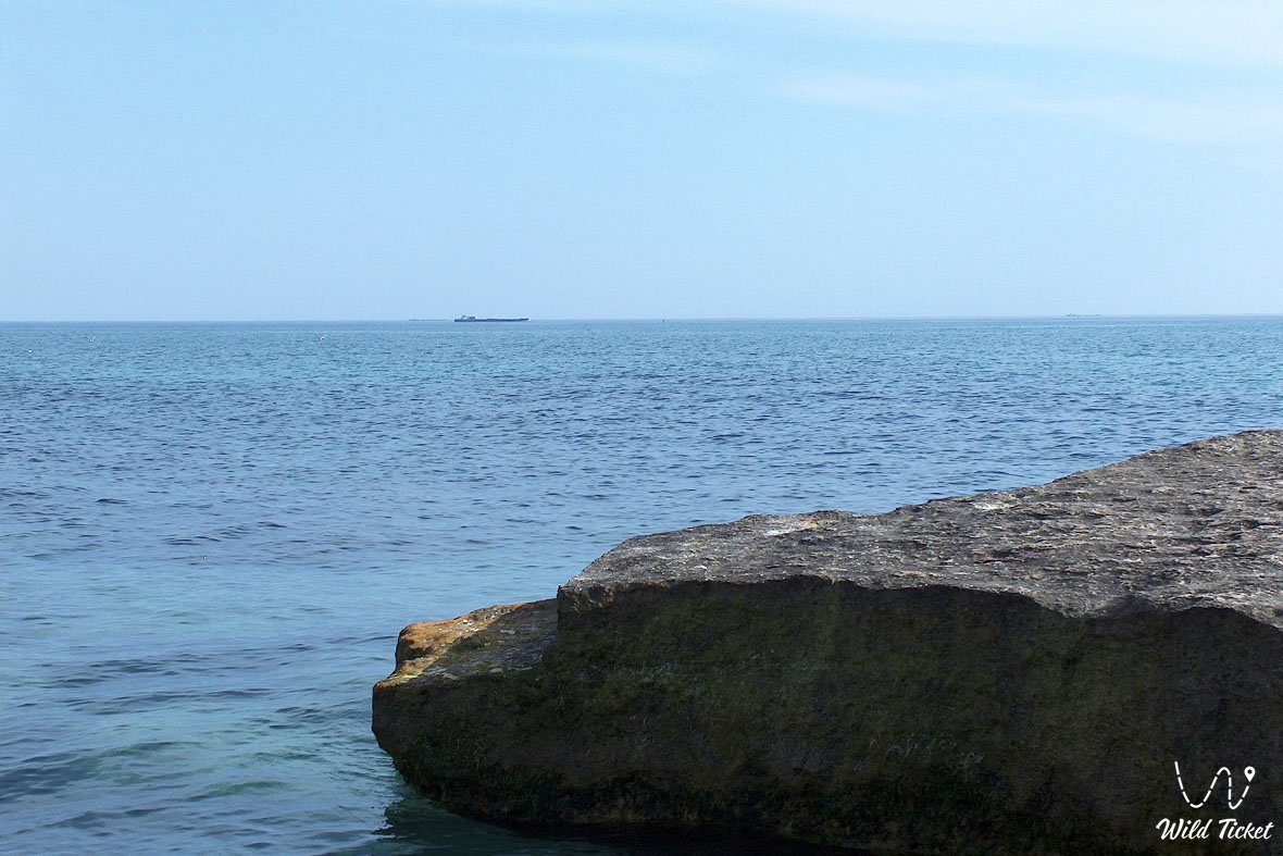
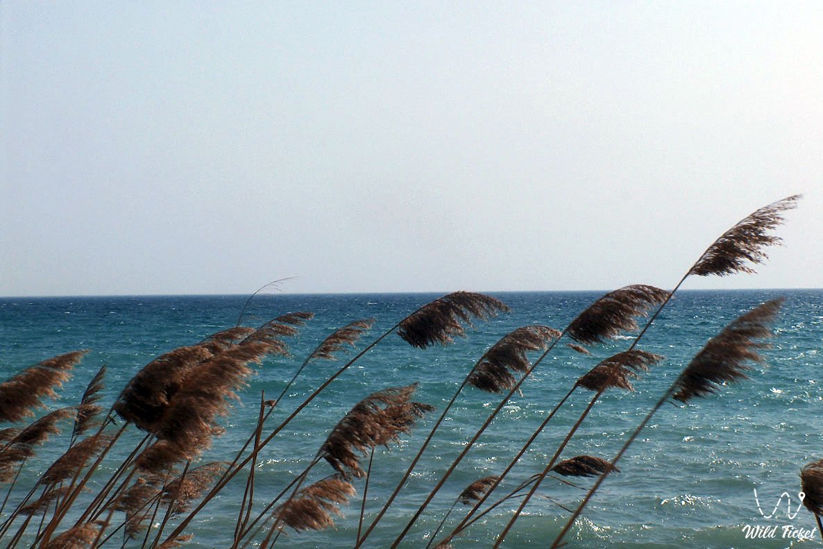
The optical properties of the seawater around cape Sagyndyk are notable for the Caspian. The absence of inflowing rivers and muddy sediments, combined with a rocky seabed foundation, provides underwater visibility of up to 10–15 m. Depending on sun angles and depth, the color of the sea shifts from emerald green near the rock ledges to rich turquoise and dark sapphire in the open deepwater anchorage.
The climate of the area is dry, desert-maritime, featuring mild, moderately windy winters (average January temperature -1...-3 °C) and dry, hot summers. The average daytime July temperature is +27...+30 °C, though continuous onshore sea breezes make the heat easier to tolerate than in interior parts of the peninsula. Annual precipitation is sparse, totaling 120–140 mm.
Detailed site description
The natural, historical, and landscape complex of cape Sagyndyk includes the following characteristic elements:
• Sheer limestone cliffs of cape Sagyndyk – monumental cliffs up to 68 m high formed from Tethys Ocean coquina strata, plunging directly to the surf line;
• Devil's Finger rock stack – a massive stone monolith along the shoreline, serving as a landmark for seafarers and a vantage point for visitors;
• Wave-cut rock galleries and scour channels – long fractures and natural plunge basins in the coastal bench, filled with turquoise seawater;
• Deepwater natural anchorage – a sheltered marine area with a steep depth drop, protected from northern gales and used by vessels since antiquity;
• Old Sagyndyk navigation lighthouse – a historical engineering structure on the rim of the plateau that served as a key beacon along routes to Tyubkaragan ports;
• Earthen and stone fortifications of the Adaisky wall – medieval defensive ditches and ramparts guarding strategic access to the sea harbor;
• Historical ancestral necropolis of the 18th to early 20th centuries – a memorial complex with carved kulpytas grave markers and sarcophagi of nomadic nobility;
• "Skalistoye More" field waters – sea panoramas overlooking adjacent cape Skalisty and the oil-and-gas-bearing offshore shelf horizon of the Caspian.
Flora and fauna
The vegetation cover of the coastal plateau at cape Sagyndyk consists of plant communities typical of arid Turanian semi-deserts and stony steppes. Gravelly terraces are dominated by gray wormwood, salt flat wormwood, biyurgun, boyalych (tree-like saltwort), and spiny atraphaxis. In limestone crevices near the sea, glasswort, tamarisk, and camelthorn (alhagi) occur. During spring (April – May), the stony steppe is blanketed by a brief display of blooming desert tulips, astragalus, wild onions, and steppe ephemerals, scenting the air with herbal sweetness.
The fauna of the area shows considerable diversity. In early morning hours on open plateau tracts, one can observe grazing herds of steppe horses, as well as groups of wild saiga antelopes and cautious goitered gazelles. Corsac foxes, badgers, tolai hares, marbled polecats, and steppe polecats inhabit rock crevices and burrows. Bat colonies roost in fissures along the cliffs.
Herpetofauna on the cape is well represented: Central Asian tortoises, rapid fringe-toed lizards, gray geckos, desert lidless skinks, and desert monitor lizards bask on warm limestone slabs. Common snakes include non-venomous stepped and Caspian whip snakes, dice snakes, as well as the venomous Halys pit viper and steppe viper, requiring care when walking among rocks.
The marine area and cliffs of the cape support numerous birds. Caspian gulls, chukar partridges, great black-headed gulls, and cormorants nest and rest here, while during seasonal migrations, flocks of mute swans, common shelducks, mallards, and pochards settle on the water. Birds of prey soar above the cliffs, including steppe eagles, saker falcons, kestrels, and long-legged buzzards. Gobies, grey mullets, Caspian roach, and carp inhabit clear waters near the reefs, and relict Caspian seals (endemic to the Caspian) regularly surface offshore.
Legend
An ancient Kazakh legend about Batyr Sagyndyk and the Guiding Star of Hope is linked with cape Sagyndyk and the Devil's Finger rock.
The tale relates that during an era when raiders attacked peaceful Mangyshlak villages from the sea, coastal defense was led by a courageous batyr named Sagyndyk of the Aday clan. He was both a fearless warrior and a skilled pilot who knew every reef and submerged hazard around Tyubkaragan.
One night, a violent storm broke out over the sea. An enemy fleet attempted to slip ashore undetected to pillage nomadic camps. Learning of this, Batyr Sagyndyk climbed to the edge of the highest cliff and ordered fires lit across the hills along the Adaisky wall, creating a deceptive fairway line. He then stood with a burning torch on the cliff's edge, directing enemy vessels straight toward the giant submerged reefs. The invading ships crashed at full speed onto the rocks of the cape and were swallowed by the waters of the Tethys Ocean.
An enemy arrow, however, struck the batyr down at the very moment of victory. As he died, Sagyndyk asked to be buried on the high plateau rim so his spirit would guard his homeland forever. Legend says that the mighty rock rising from the sea below the cape stood frozen like the batyr's stone finger pointing the way for lost travelers and sailors, and the people named the place after its defender—Sagyndyk (resonating with the Kazakh word "sagynysh," denoting fond remembrance, devotion, and longing).
Conclusion
Cape Sagyndyk is a monument of Mangystau's untouched wilderness, where sixty-meter limestone ramparts of the ancient Tethys Ocean meet the clear sapphire waters of the Caspian Sea. Preserved fortifications, a maritime heritage, underwater rock labyrinths, and expansive sea sunsets make a visit to cape Sagyndyk an unforgettable chapter in an overland journey along the roads of Tyubkaragan.
Interesting attractions nearby:
• Golubaya bay;
• Saura gorge and lake;
• Akshukur village;
• Tamshaly canyon;
• Sultan-epe canyon;
• Sultan-epe underground mosque;
• Kapamsay canyon;
• Bautino village and port;
• Zhygylgan tectonic sinkhole;
• Fossilized tracks in the Zhygylgan tract;
• Town of Fort-Shevchenko;
• City of Aktau;
• Old Sagyndyk navigation lighthouse;
• Devil's Finger rock;
• Cape Skalisty;
• Adaisky wall;
• Kyzyluzen village;
• Kokbulaksay canyon.
Photogallery: