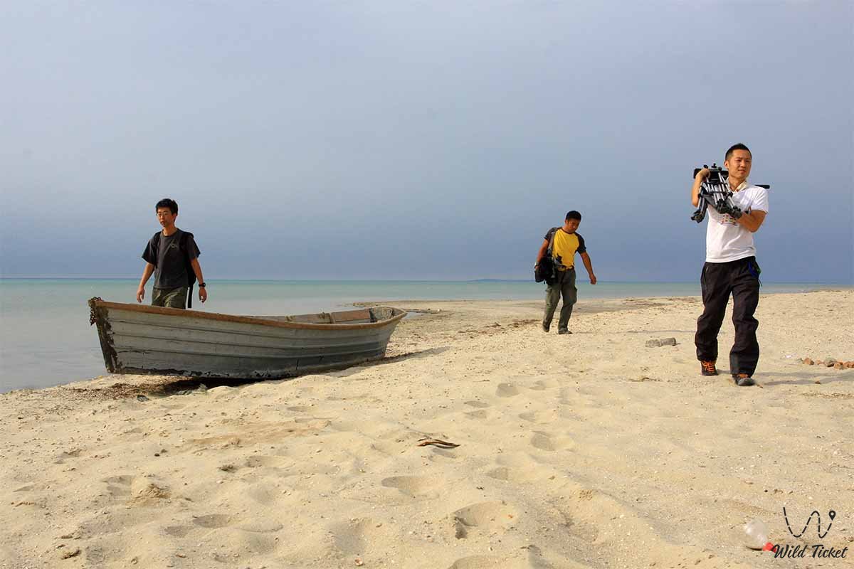
Jeep tour to Aral Sea -
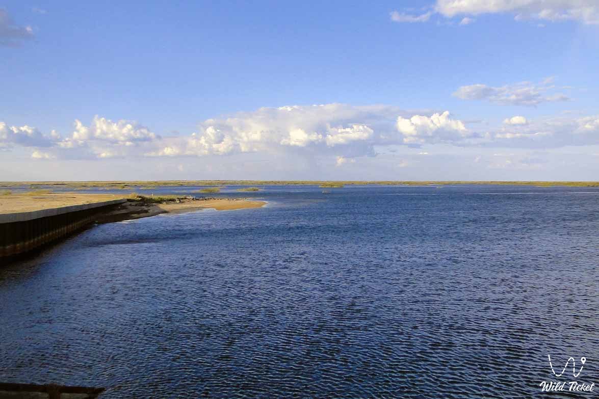
The Aral Sea is a large lake on the border of Kazakhstan and Uzbekistan. In the twentieth century, the sea was the fourth largest in the world in terms of area (68 thousand km2), but since the 1960s, seawater has been decreasing.
---------------------------------------------
How to get there, visit -
The Aral Sea is located on the territory of Kazakhstan in the Kyzylorda region. The nearest city is Kyzylorda and the city of Aralsk.
---------------------------------------------
History
The Aral Sea was formed in the middle of the Cenozoic, i.e. 21 million years ago. The Aral Sea was annexed to the Caspian Sea 1200 years ago. This is evidenced by the fact that at a depth of 80 meters from the present Saryshyganak, Akespe, on the negative sea surface, the vertebrae of red fish, large snails and whales that lived in the Oligocene began to turn into stone. This indicates that the sea was associated with the ocean. Shark fangs and bones have also been found at the bottom of the Aral Sea.
Thus, we can say that the study of this reservoir, which currently attracts the attention of the whole world, continues from ancient times to the present day. Therefore, it is not difficult to determine the evolution of the development of the Aral Sea basin and its shores, as well as the nature of changes over the centuries, comparing ancient studies and modern data. For example, the Aral Sea has long been known in many countries. This is due to the fact that the information given by Arab scientists of the 9th-10th centuries - Ibn Khordadbeh, Ibn Rusta, Al-Masudi, Al-Istakhri - is very valuable. Thus, these works provide information on the size and shape of the shores of the Aral Sea at that time.
Aral depression (basin)
Aral Basin - a tectonic structure consisting of Mesozoic-Cenozoic sediments occupying the Aral Sea basin and its north, east and southeast; Geomorphologically, the depression extends into the northern Kyzyl Kum. It is part of the Turan Plate. The area is about 350 thousand km2.
The upper part of the Aral Sea basin is composed of Paleozoic and Triassic deposits. It is covered with Mesozoic and Cenozoic sedimentary rocks (clay, sandstone, limestone, marl) with a thickness of 1800-2000 m. Jurassic and Cretaceous sediments of the Aral Sea basin contain oil and gas, lignite and iron ores in Paleogene rocks, as well as large reserves of groundwater.
Aral flotilla
In the middle of the 19th century, the approach of the Russian Empire to the borders of the Central Asian khanates, the Aral Sea and the Amu Darya led to the construction of ports in the region and the formation of the Aral flotilla. The first military schooner "Nikolay" was assembled in Orenburg in 1847 and transported to the Raiym fortress across the upper reaches of the Syr Darya. On August 20, 1847, the schooner took part in the battle for the new city of the Khiva fortress.
In 1848 Lieutenant A. Butakov and Warrant Officer Pospelov were assigned to study the Aral Sea. They traveled on the schooners "Nikolay" and "Constantine" (1848) and explored the southern coast of the Aral Sea and the banks of the Amu Darya, which belonged to the Khiva Khanate. In 1850, the Matal plant in Switzerland built the motor ship "Perovskiy" and the barge Obruchev, which sailed both by sea and by river. In 1852 they were delivered to the banks of the Syr Darya, and in February 1853 they were launched. On June 5, 1853, the Perovsk ship took part in the capture of Akmeshit.
June 5, 1856 Butakov on a barge crossed the Amu Darya to Konyrat. In 1873, 2 ships and 3 barges took part in the Khiva campaign. In general, the Aral flotilla consisted of 4 ships ("Samarkand", "Aral", "Tashkent", "Syrdarya"), 11 barges, 10 barges and 5 rafts. In 1877-78. The ships transported people and goods between 4 points (Kazaly - Perovsk, Perovsk - Chinar, Kazaly - Kosaral and Kosaral - Nikolay Island).
In 1888 the ship "Samarkand" sank near the city of Perovsk. On October 26, 1882, Adjutant General Chernyaev established a commission to disband the Aral flotilla. On April 7, 1883, the commission abolished the flotilla. In 1888, the Amu Darya flotilla was created instead of the Aral flotilla.
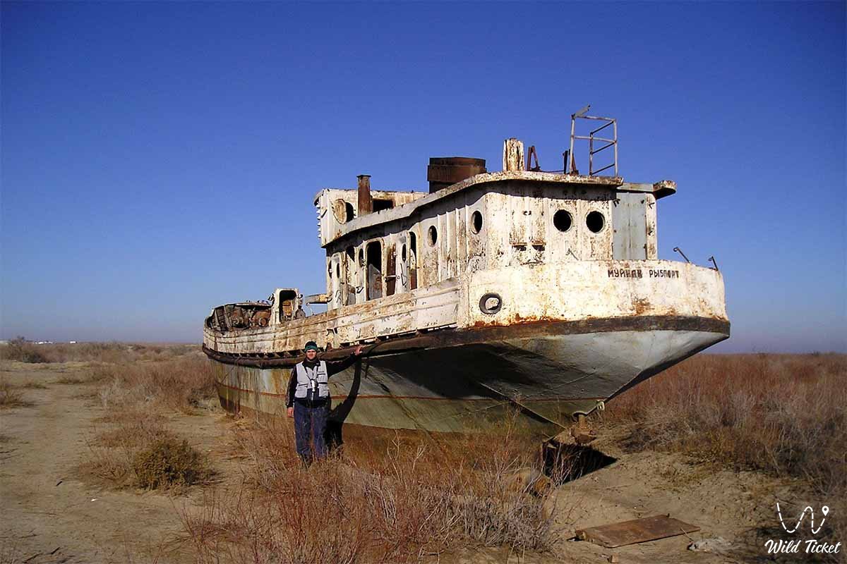
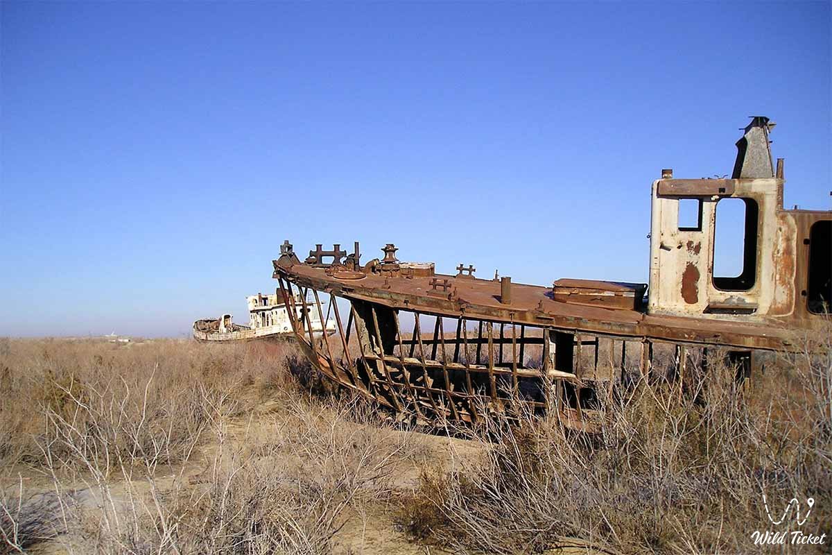
Ecological situation of the Aral Sea
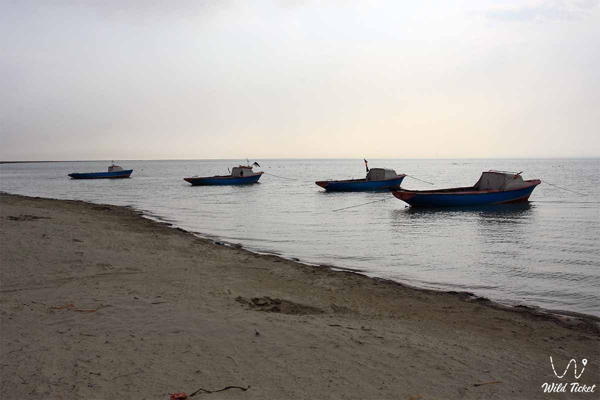
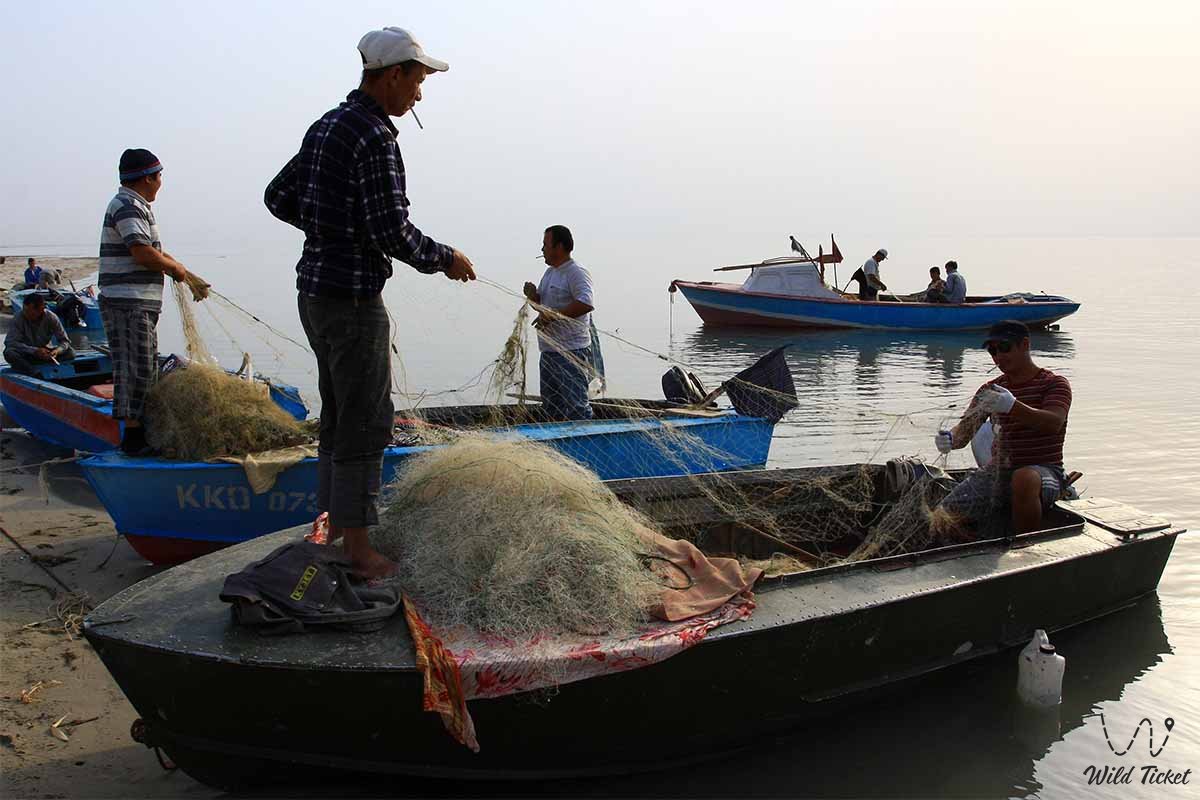
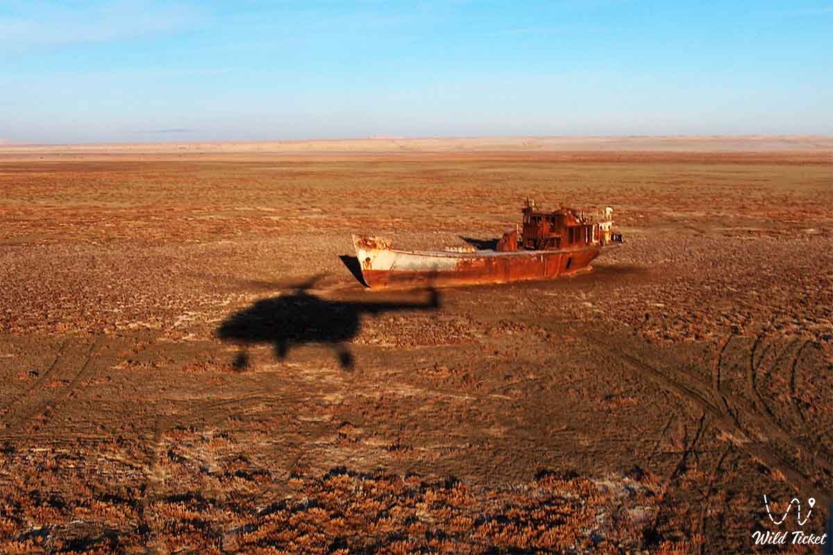
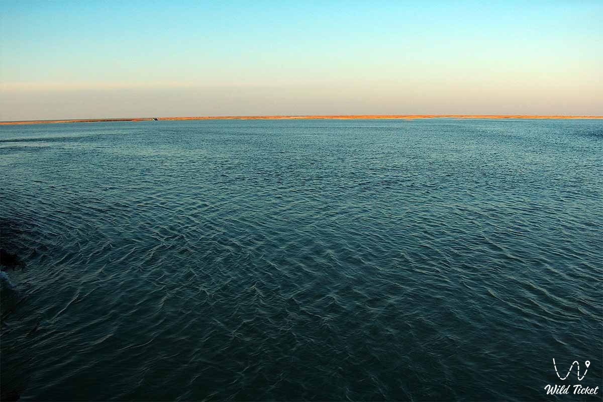
The Aral Sea is the pearl of Kazakhstan, the only blue reservoir in the desert. Before the accident, its volume was 1066 km, depth 30-60 meters, salinity 10-12%. The depths were rich in commercial fish, and the coast was rich in reeds and reeds. At that time, 50-150 thousand fish were caught per year, and a significant amount of sable was harvested from the coast. Until the 1970s, the population of the Aral Sea region was prosperous. In the settlements of the Tengiz region, there were 17 fish collective farms, 10 fish processing plants.
The development of the Aral Sea region began in the 1960s. The area of developed land in the region has continued to increase 1.5 times in Uzbekistan and Tajikistan, 2.4 times in Turkmenistan and 1.7 times in Kazakhstan. Due to population growth, the need for water has also increased. In this regard, from 1970 to 1980, the amount of water entering the Aral Sea decreased. The main reasons were anthropogenic factors. Rice and cotton cultivation developed rapidly, requiring large amounts of water along both rivers (Shardara).
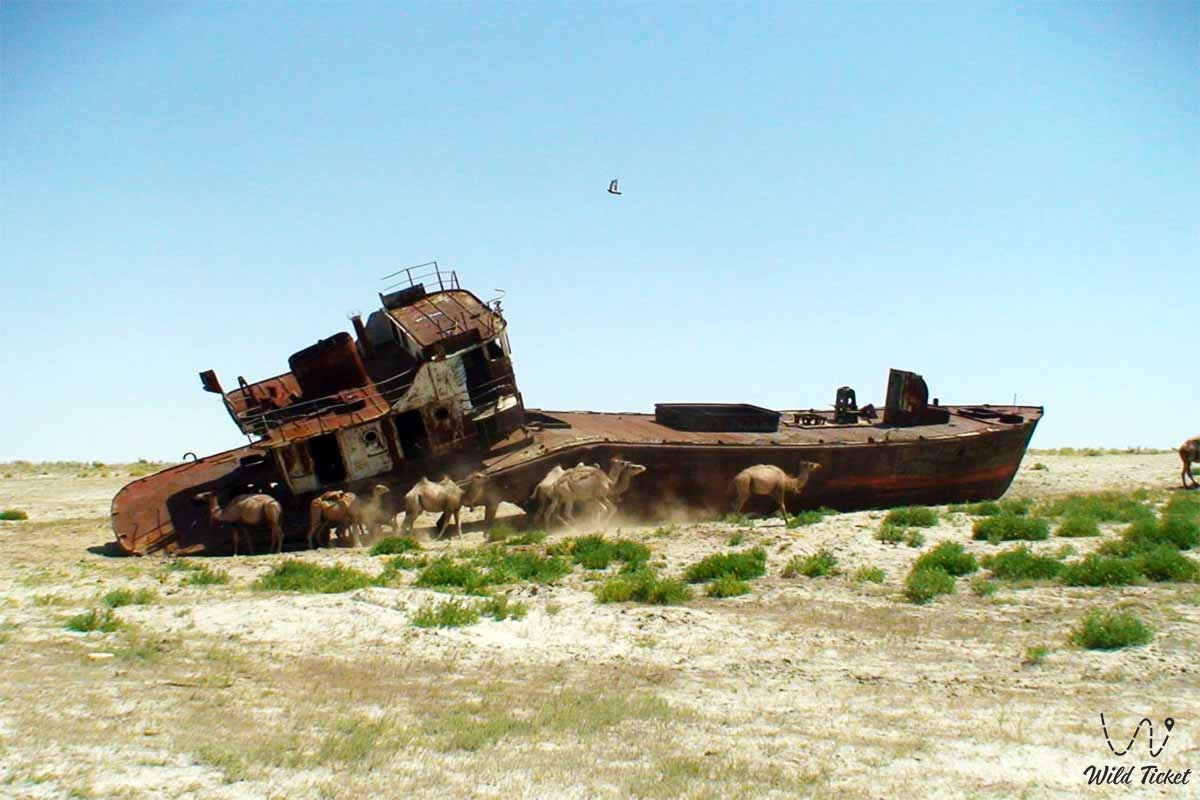
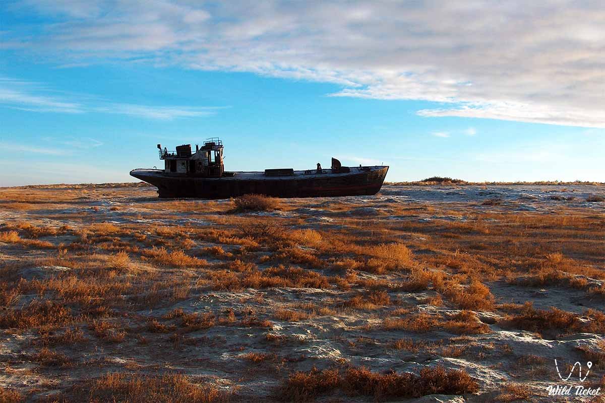
The area of the Aral Sea decreased by 44,000 m2 44 between 1960 and 1965 and halved in the 1990s. As a result, the level of the Aral Sea dropped to 23 meters, and its water area decreased to 30-200 km. The salinity of the water has increased to 40%. In addition, the use of fertilizers and chemicals on farms along the two rivers has increased 10-15 times. Such anthropogenic factors led to an environmental disaster in the Aral Sea region.
Every year, 2 million tons of very harmful salt dust rises from the dried seabed, which is carried away by the wind.
Factors that caused the disaster in the Aral Sea:
• ignoring the historical and natural features of the area;
• wrong agricultural planning, lack of water resources;
• maximizing water-intensive crops of rice and cotton;
• non-compliance with agrotechnical measures for land development and inefficient use of water;
• Errors in the use of natural resources and the lack of scientific justification for their development.
These facts have led to an ecological crisis in the ecosystem of the Aral Sea. These cases have become known worldwide as human errors. Every year less sea water is becoming a symbol of modern ecological disasters in the Aral Sea region. Its fauna and flora are on the verge of extinction. Soil salinization occurs very quickly.
Fish farming in the Aral Sea was suspended and resumed only in the last 1-2 years. The social status of the population has declined. The amount of toxic salt rising from the seabed is estimated at 13-20 million tons per year. In fact, the impact of salt dust has spread to the territory of the Central Asian republics, affecting agriculture. Soil salinization increased by 60% in Uzbekistan and 60-70% in Kazakhstan. This is detrimental to the economy as a whole.
Aral Sea rescue
The future of the Aral Sea worries the peoples of the world. Its irrevocable disappearance will change the life of not only Central Asia and Kazakhstan, but also many countries of the East. And global climate change, desertification, atmospheric anomalies, instability of anthropogenic ecosystems. The Aral Sea problem has been the subject of numerous discussions among geographers and ecologists over the past 10 years. International conferences on the Aral Sea were organized. Civilized countries and the world community provide financial assistance. There are several scientific forecasts and projects for the restoration and revitalization of the Aral Sea.
1. Diversion of Siberian rivers to Kazakhstan.
2. Reproduction of water by regulating the water of the Amu Darya and Syrdarya rivers.
3. Partial preservation of the Aral Sea.
4. Delivery of water from the Caspian Sea through an artificial canal.
5. Use of groundwater.
6. Expectation of spontaneous natural regulation or maturation of the Aral Sea.
A bold and systematic scientific work is currently underway to save the island. Since “the fate of the island is the lot of man”, the preservation of this amazing reservoir is the duty of the present generation to the future.
Tour itinerary:
Photogallery:


Comments 1