Issyk lake
Lake Issyk, a mountain lake, is located in the mountains of the Zailiyskiy Alatau in the Almaty region, earlier the lake was much larger than now, there was a tourist infrastructure around the lake, after the mudflow the lake became much smaller.
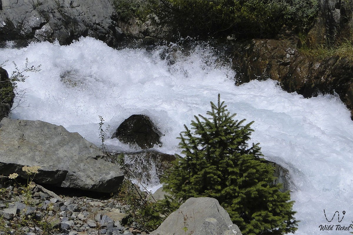
The distance from the city of Issyk to the lake is 17 kilometers, the main landmark here is the village of Issyk, the lake is located at an altitude of 1700 meters above sea level. On July 7, 1963, a catastrophe happened on the lake, a powerful mudflow came down that washed away the lake and it became much smaller. The Issyk River flows into the lake, up the gorge there is a mountain road that goes to the upper reaches of the gorge.
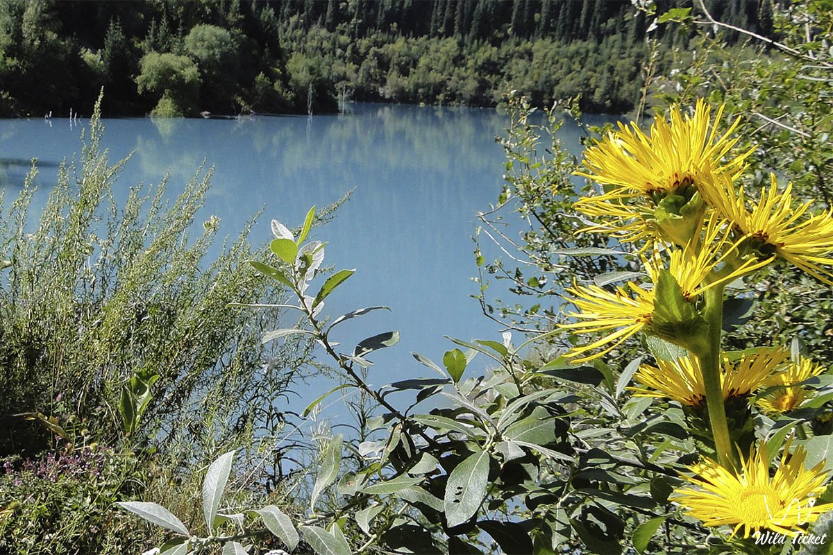
We invite you to visit the lake in early summer when the region is filled with colors or in autumn when the region is also filled with autumn yellow colors. But the lake is very beautiful and there is almost never anyone, so here you can be alone and take great photos.
- Distance of the route:
168 km
- Season time:
May - September
- Best time:
June - September
- Group size:
1-10
- Days & nights:
1 day
Tour itinerary:
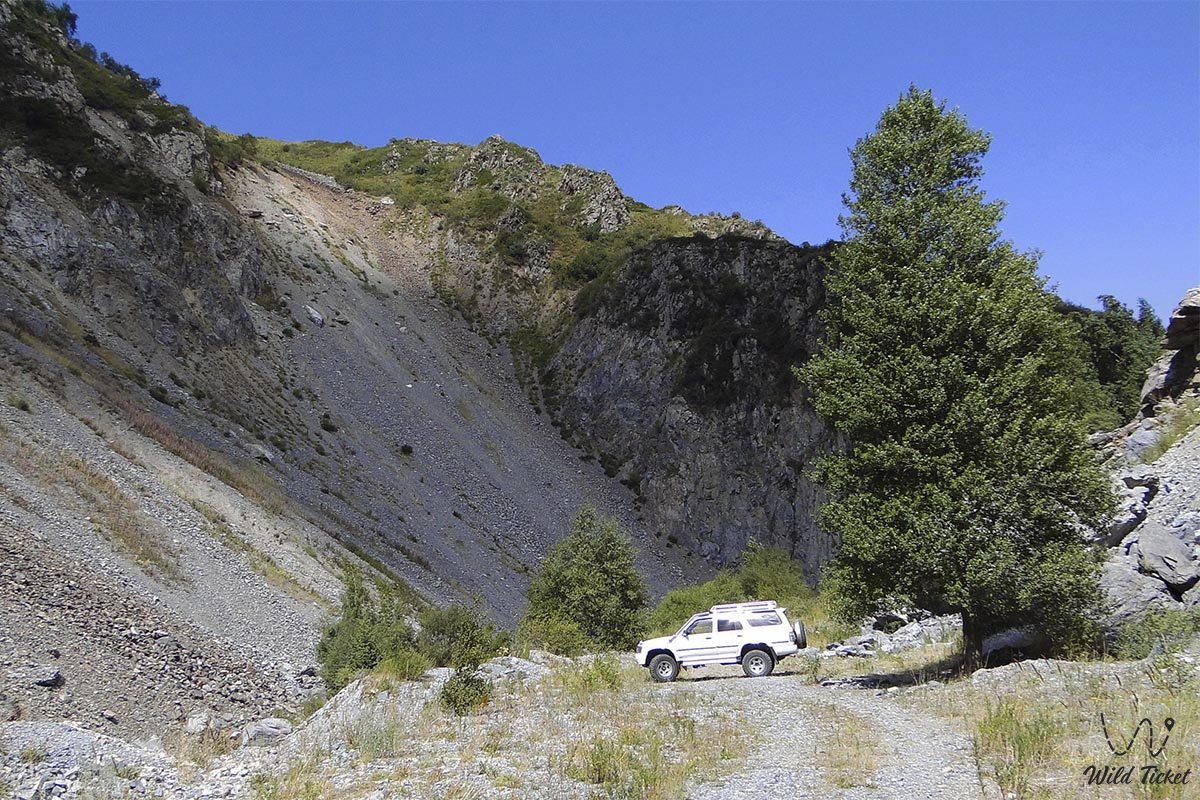
From the city of Almaty, we drive east, along the Kuljinka, passing many villages, one of which is called Avat. After driving about eight kilometers from this village, we turn right onto the road to the city of Issyk, which is located at the foot of the Trans-Ili Alatau mountains]
The Issyk mounds are located not far from the Issyk dachas. In 1969, a group of Kazakhstani archaeologists led by K. A. Akishev found a unique complex of the Issyk burial ground. The Issyk Kurgan was part of this complex, located on the left coast of the Issyk mountain river. A Golden Man was found in this mound, which represents the remains of a Saka warrior in a golden robe. It is assumed that this is sak-tigrahuda, since he has a pointed headdress seventy centimeters high on his head, which is decorated with gold plates and plaques with drawings of various animals, birds and trees.
The city of Issyk received its status in 1968 and is the administrative center of the Yenbekshikazakh district of the Almaty region. Previously, it was called the village of Nadezhdinskaya, then the village of Issyk. After reaching Lake Issyk, we walk, enjoy the beautiful view and take pictures.
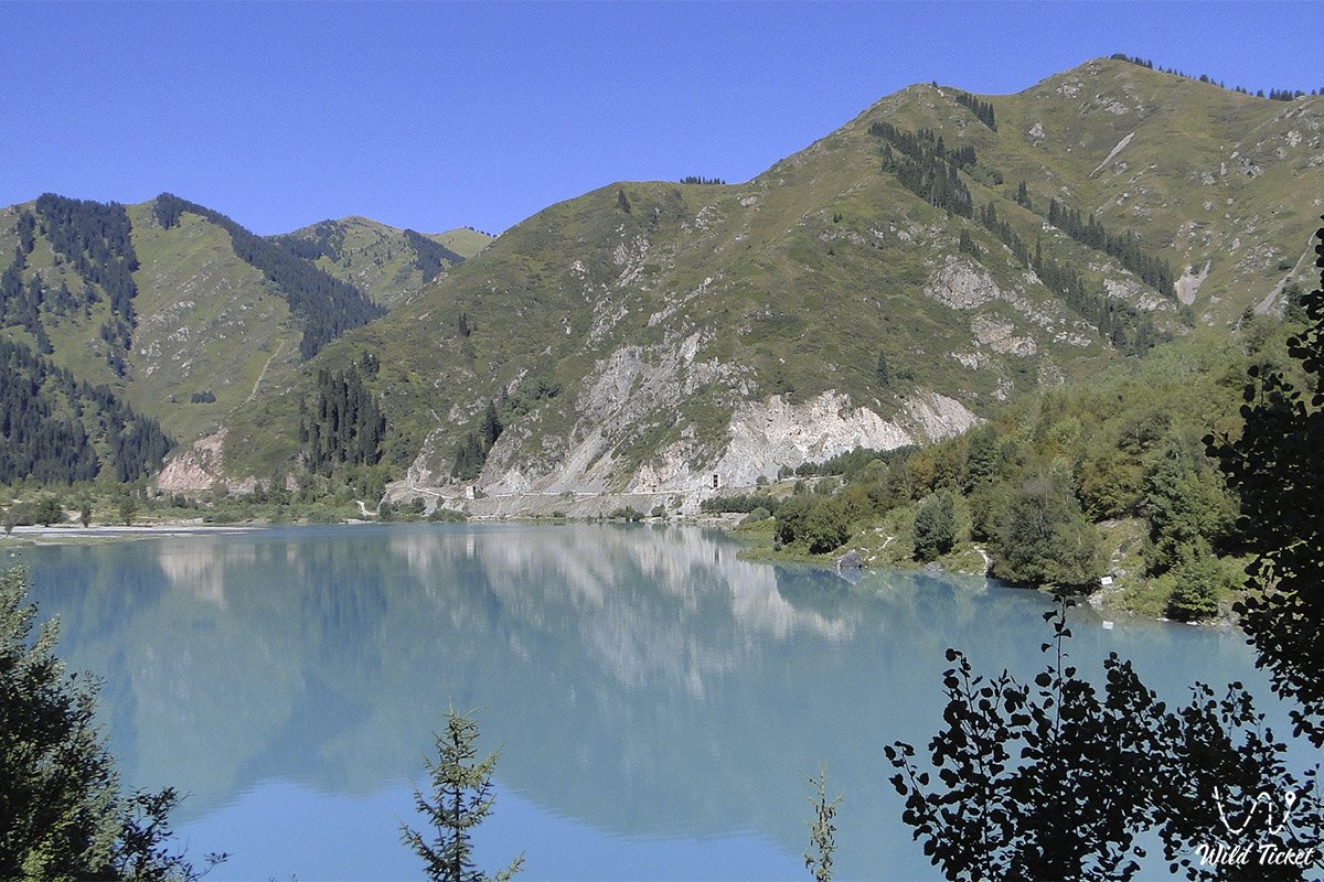
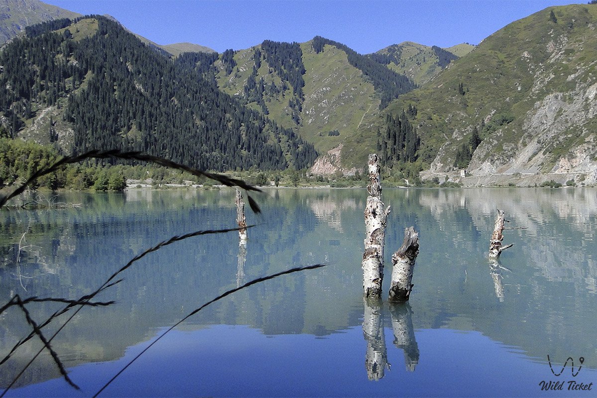
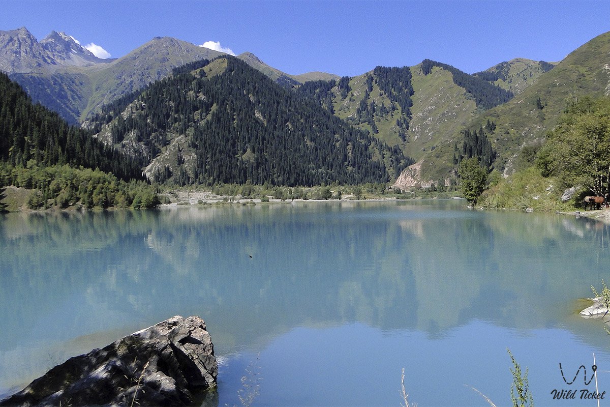
Issyk Lake is located in the area of the Ile-Alatau National Nature Reserve. It appeared almost eight thousand years ago, in connection with a huge landslide that blocked the bed of the Issyk River of the same name and became a natural dam. On July 7, 1963, a mudflow descended from the upper reaches of the Issyk River and destroyed a natural dam located in the western part of the lake, thereby emptying the reservoir.
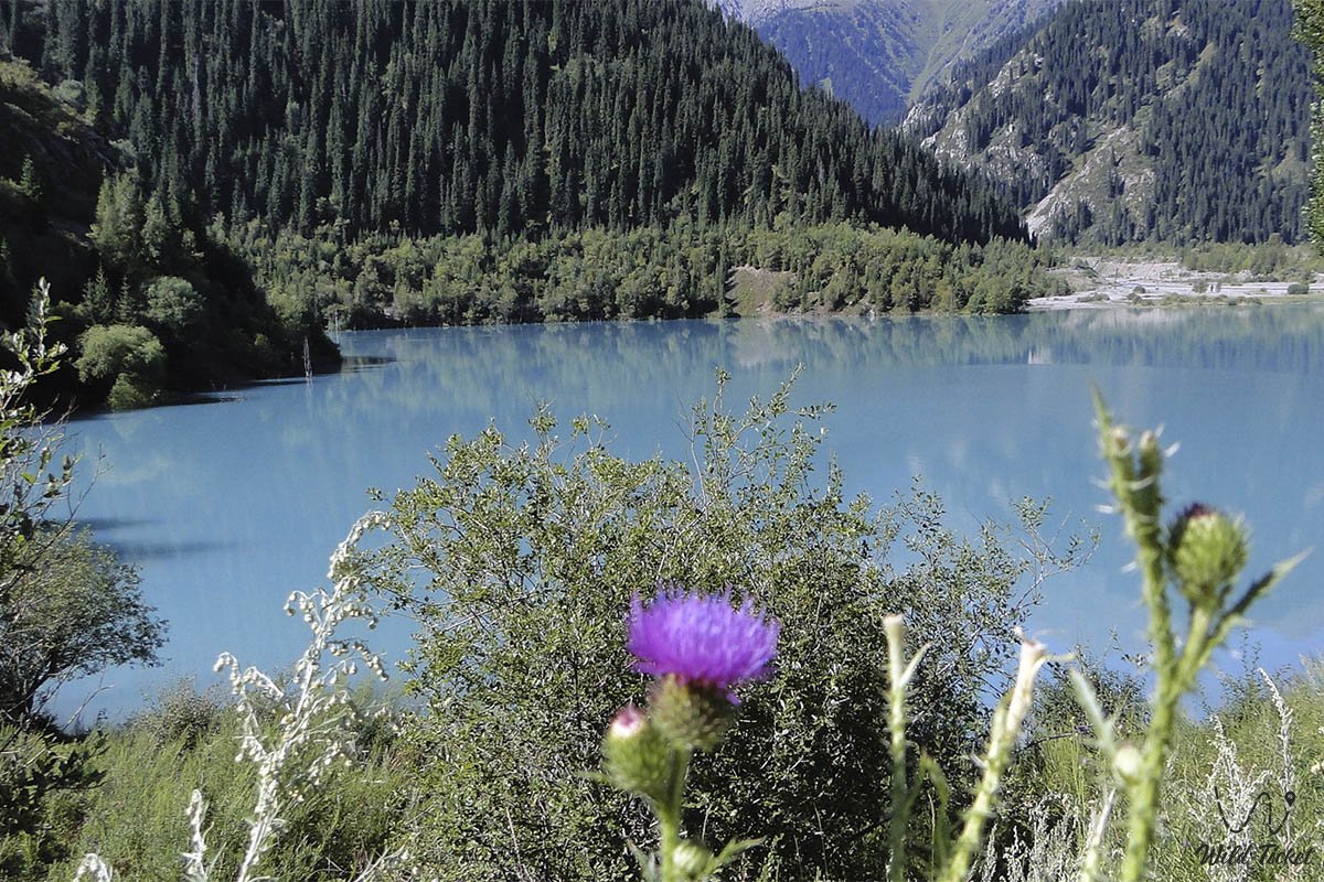
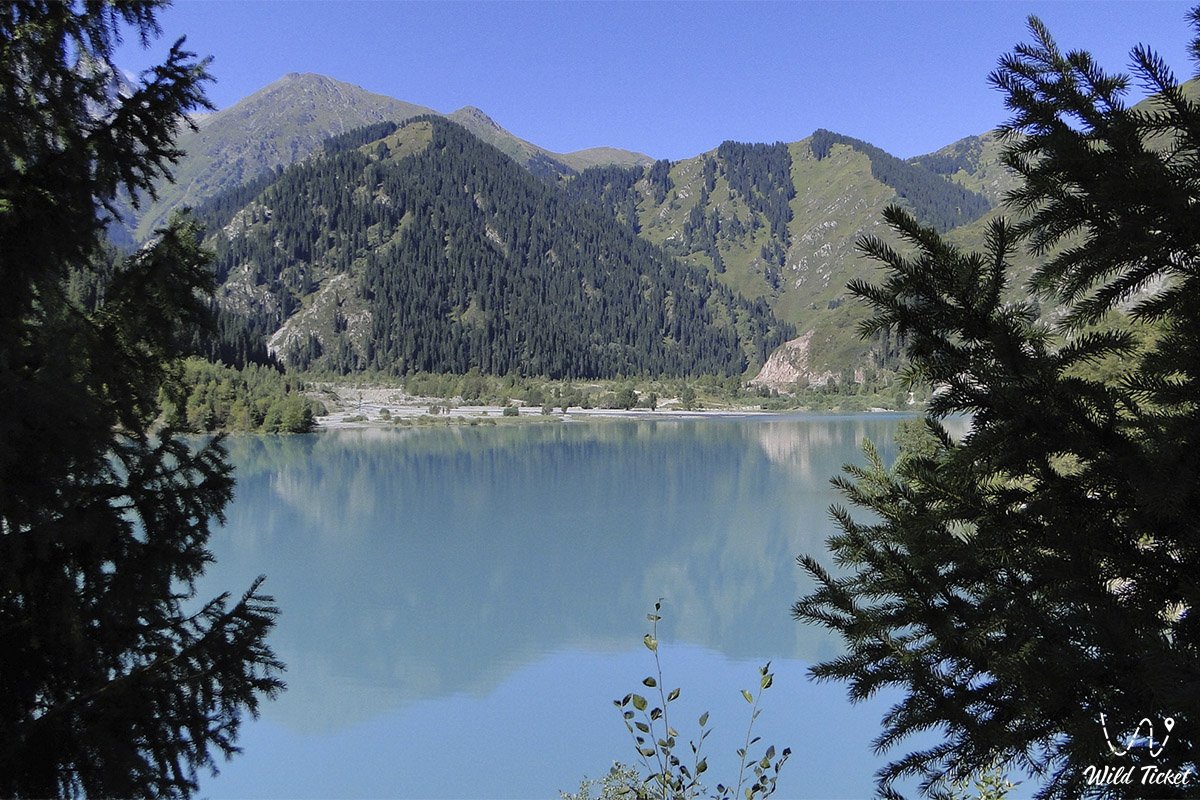
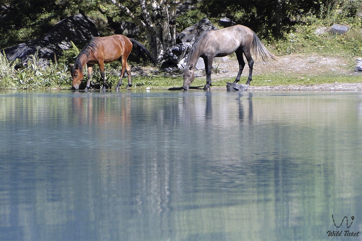
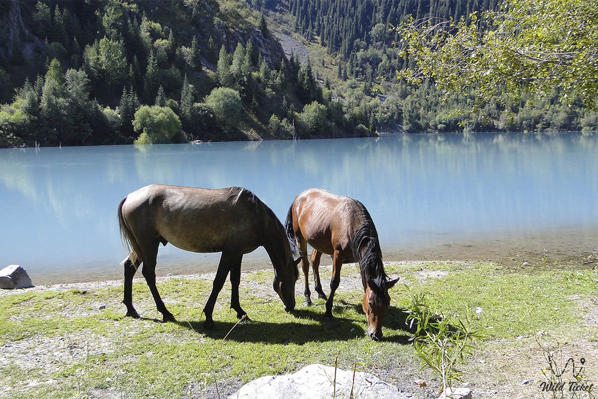
Issyk Lake is constantly changing its color during the day. It turns turquoise aquamarine, then gray and leaden. You can enjoy the beauty of the lake both day and night. The lake, located among the mountain landscapes, takes on an extraordinarily fabulous appearance.We walk through the area near the lake. We're having lunch. Return to Almaty (84 km).
Similar lakes are located in river valleys. The formation of their basins is associated with the collapse of the slopes of river valleys due to tremors. In this case, the landslide material, represented by huge boulders, blocks the valley, damming rivers and forming lakes. Issyk Lake was formed due to a massive collapse that occurred along the fault line. As a result of the collapse, a natural dam was created, 300 meters high.
It is difficult to establish the time of the dam's appearance, although some authors point to 8000 years based on indirect data. One thing is clear that the collapse occurred in the postglacial period. Anyway, over time, at an altitude of 1,760 meters above sea level, competing with the bright blue of the southern sky, a water surface with a mirror area of 1 square kilometer spread at a depth of 55 meters.
Shocked by the beauty of the lake, A. Vinogradsky in No. 30 and No. 32 of the Turkestan Gazette for 1910 titled his article about it: "At the foot of the Throne of God." Framed by the mighty Tien Shan fir trees, during the day, under different lighting conditions, the waters of the lake turn blue, aquamarine or turquoise, or leaden with silver crests of waves. You can admire the lake both during the day and on a moonlit night, when the surrounding landscape takes on a real fabulous look.
On July 7, 1963, a catastrophic mudslide formed in the upper reaches of the Zharsai River, a left tributary of the Esik River, which caused tragic consequences, destroying a picturesque Alpine lake. The mudflow entered it in twelve shafts within four hours. They collapsed on the opposite shore (the dam) and tore it down, forming a giant washout, where 18 million cubic meters of lake water splashed out.
According to eyewitnesses, immediately after each shaft entered, the lake "boiled": "The sandy ridge that held back the waters of Yoshik very soon succumbed to mudflow pressure, and the lake disappeared almost instantly. It disappeared along with people, animals, buildings, and cars. Rumbling, the mudflow rushed down the gorge...". In the village of Esik, about 200 houses, a creamery, a canteen, shops, a market square, bridges over the river and other objects were destroyed. The entire surrounding tourist infrastructure was destroyed. And the lake itself simply ceased to exist after these terrible events.
In the eighties, the construction of a man-made dam began here, in the body of which almost a million cubic meters of rock "lay down". The construction took about 10 years. Thanks to the dam, the reservoir was restored, albeit in smaller parameters than before. There is a road through the non-flooded part of the lake, along which you can walk along the river to the Almaty Nature Reserve (an area of about 1000 square kilometers). On its territory, about 3 kilometers above the lake, there is a 22-meter cellular anti-mud dam, built by Georgian specialists in 1982. Beyond it are interesting rocky outcrops of the valley.
Special attention is drawn to the so-called Flint or "Kremlin Wall", where training and competitions of climbing athletes usually take place. There is no road above the dam, and trails run along both sides of the river, whose banks are steep, rocky, and have a completely wild appearance.
Photogallery: