Horse riding in Amanzhol mountain gorge - Amanzhol pass
Excursion from Almaty to Amanzhol Gorge -
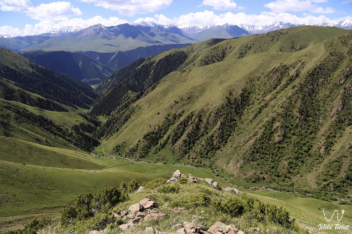
Horseback riding to Amanzhol Pass and further to Kolsay Lakes -
Amanzhol in Kazakh means - Prosperous Road (Successful Road). We will get to Amanzhol Gorge by car, then we will move on horseback and on foot. The gorge is located at altitudes from 1000 to 3500 meters above sea level. This route passes through the famous Turgen Gorge and Asy Plateau and in 4 days will bring us to Kolsay National Park.
---------------------------------------------
How to get there and visit -
Amanzhol Gorge and Amanzhol Pass are located in the Kolsay Lakes National Park, Kegen district, Almaty region, Republic of Kazakhstan.
GPS Coordinates: 43°7'56"N 77°48'42"E
---------------------------------------------
- Season time:
summer season
- Best time:
june-august
- Group size:
1-10
- Days & nights:
10
Tour itinerary:
Arrival - meeting at the airport - transfer to the hotel. City Tour.
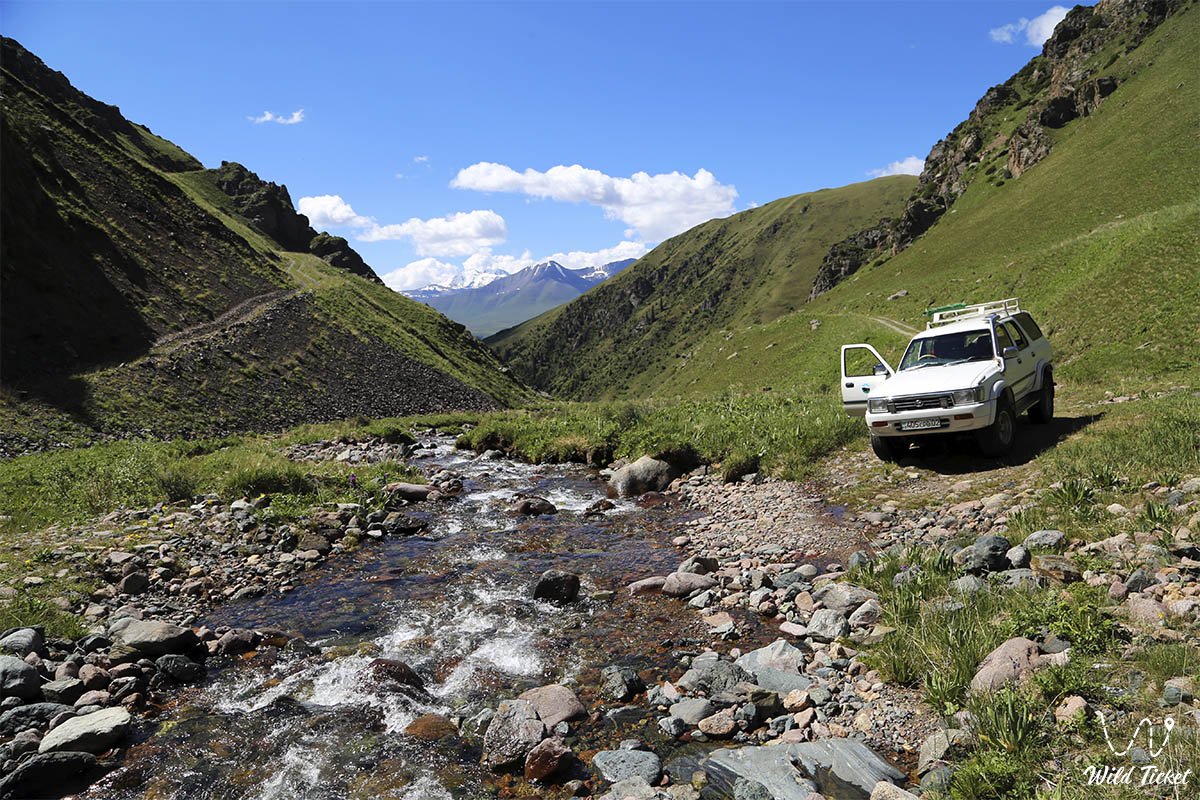
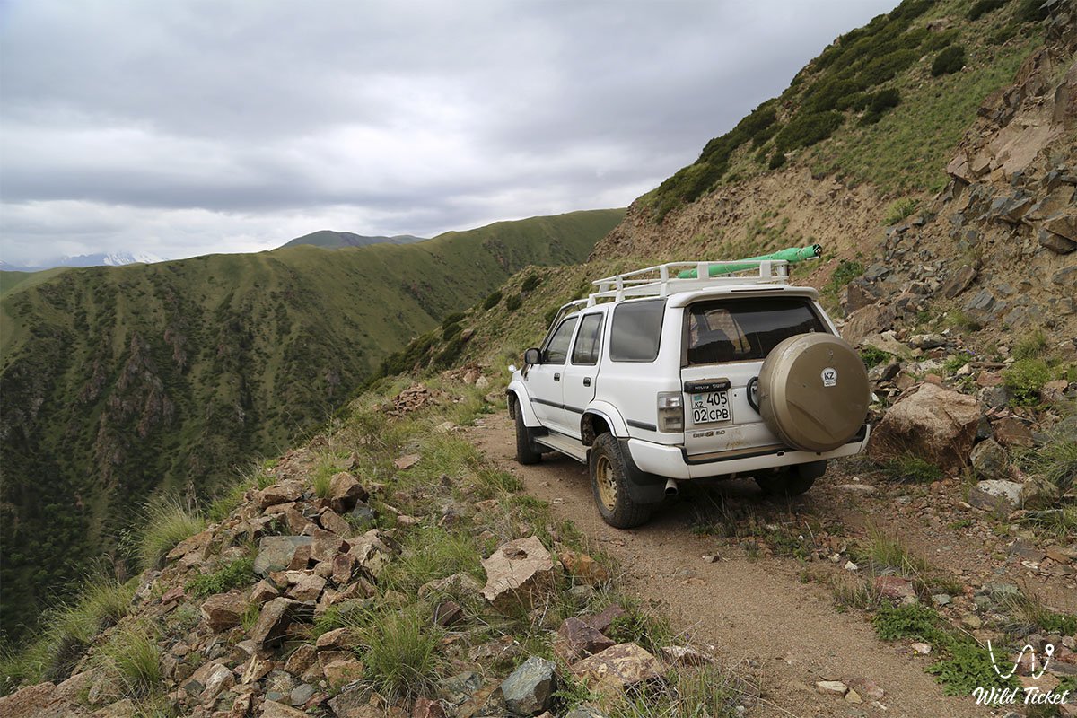
Breakfast at the hotel. Transfer: Almaty city - Issyk village - Turgen gorge-village - Batan forestry - Assy plateau - Assy observatory - Amanzhol mountain gorge (110 km, 3 hours on the way, mountain road, 4x4 car).
On the way, at 53 km, we will stop at the Issyk kurgans where in 1969-1970 the Golden Man was found - then we move to the Assy plateau, height 2510 meters (8 km) - the Amanzhol gorge tract (3 km). Preparing for horseback riding, overnight in tents.
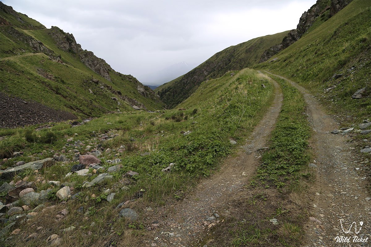
Horse riding to Amanzhol pass - 10 kilometers.
Breakfast at the camp, tea, coffee, scrambled eggs, fried sausage, boiled meat, fruits, bread.
Horseback riding to the Amanzhol pass. Lunch on the way. Dinner overnight in tents under the pass.
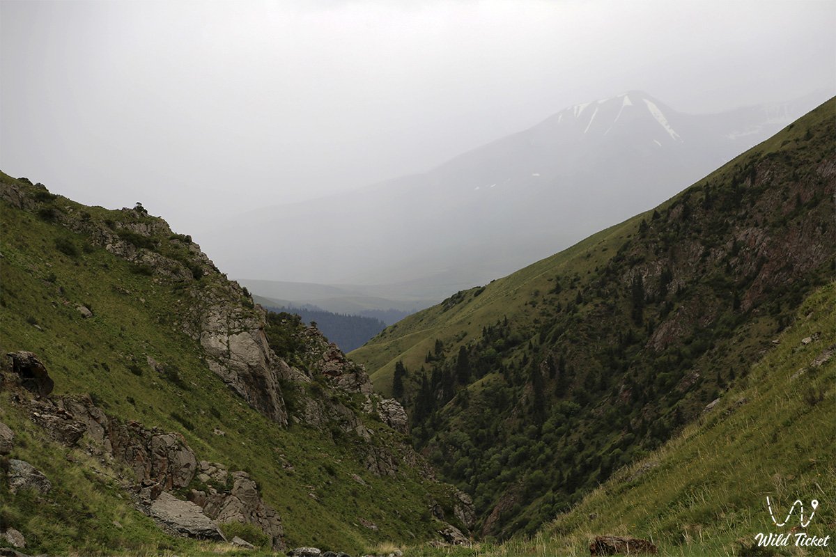
Breakfast at the camp. Ascent to the Amanzhol pass, then we move to the Chilik river and further to the Karagiye river.
(the route is 14 kilometers long) Lunch on the way. Dinner overnight in tents near the Karagiye river.
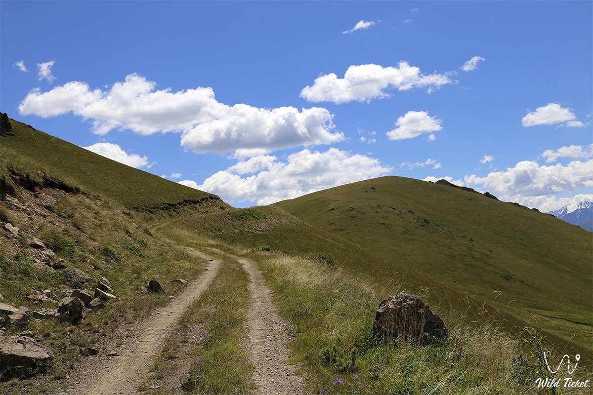
Breakfast at the camp. We move along the Chilik river to the Karasai river.
(14 kilometers) Lunch on the way. (the length of the route is 14 kilometers). Dinner overnight in tents near the Karasai river.
Breakfast at the camp. Horse trekking: mountain plateau Manzhilki (height 2780 m) - Karakshi river (height 2300 m) - Uryukty plateau (height 2720 m) - Bolshaya Uryukty river (height 2279 m) (the length of the route is 16 km).
Breakfast in the camp: Horseback riding from the base camp to the mountain lake Chon-Uryukty (5 kilometers).
Lunch on the way, return to the base camp on the Bolshiye Uryukty river, dinner, overnight.
Breakfast in the camp: Crossing the Bolshaya Uryukty river - the Malaya Uryukty river - the Sarykerege mountain tract (height 1788 meters) - the Kutyrgan river (15 kilometers). Lunch on the way. Overnight in tents near the Kutyrgan river.
Breakfast in the camp: Crossing the Kutyrgan river - Kurmenty village (20 kilometers). Here you can stay overnight or go straight to Almaty (300 kilometers).
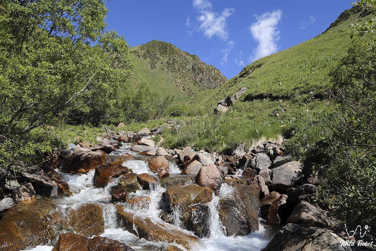
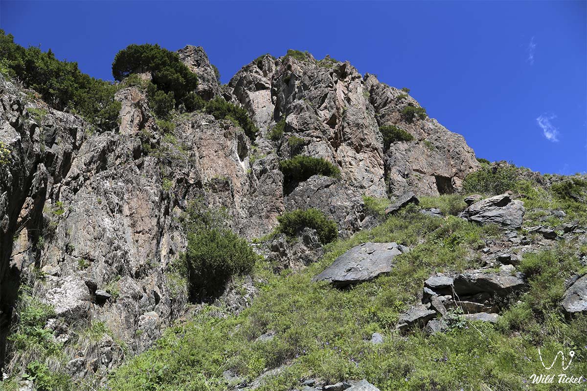
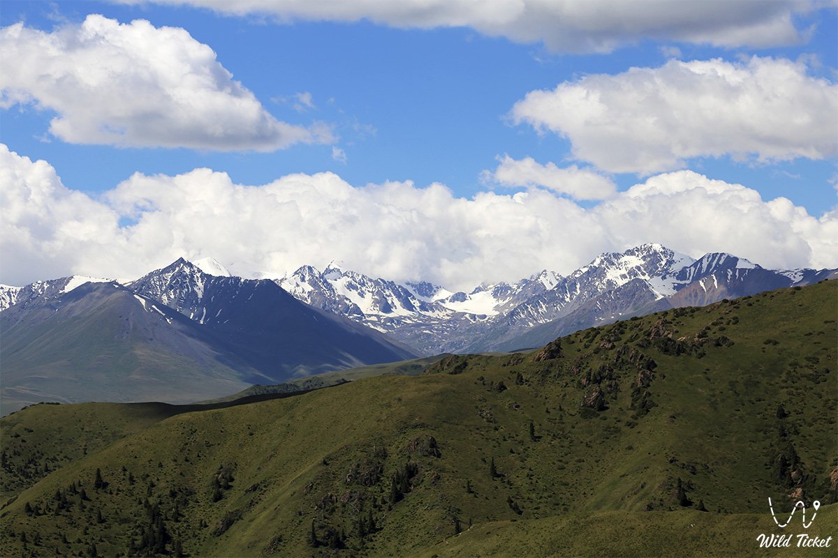
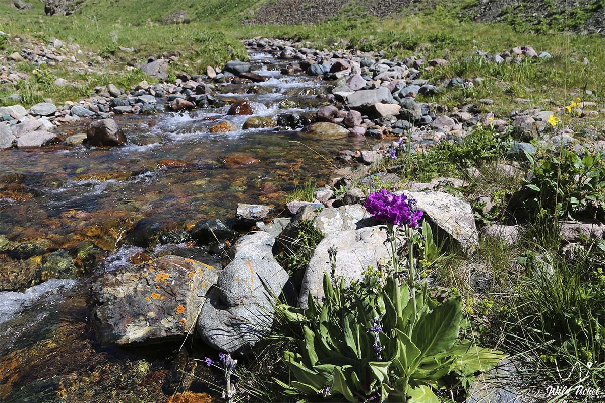
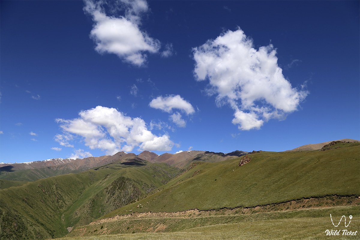
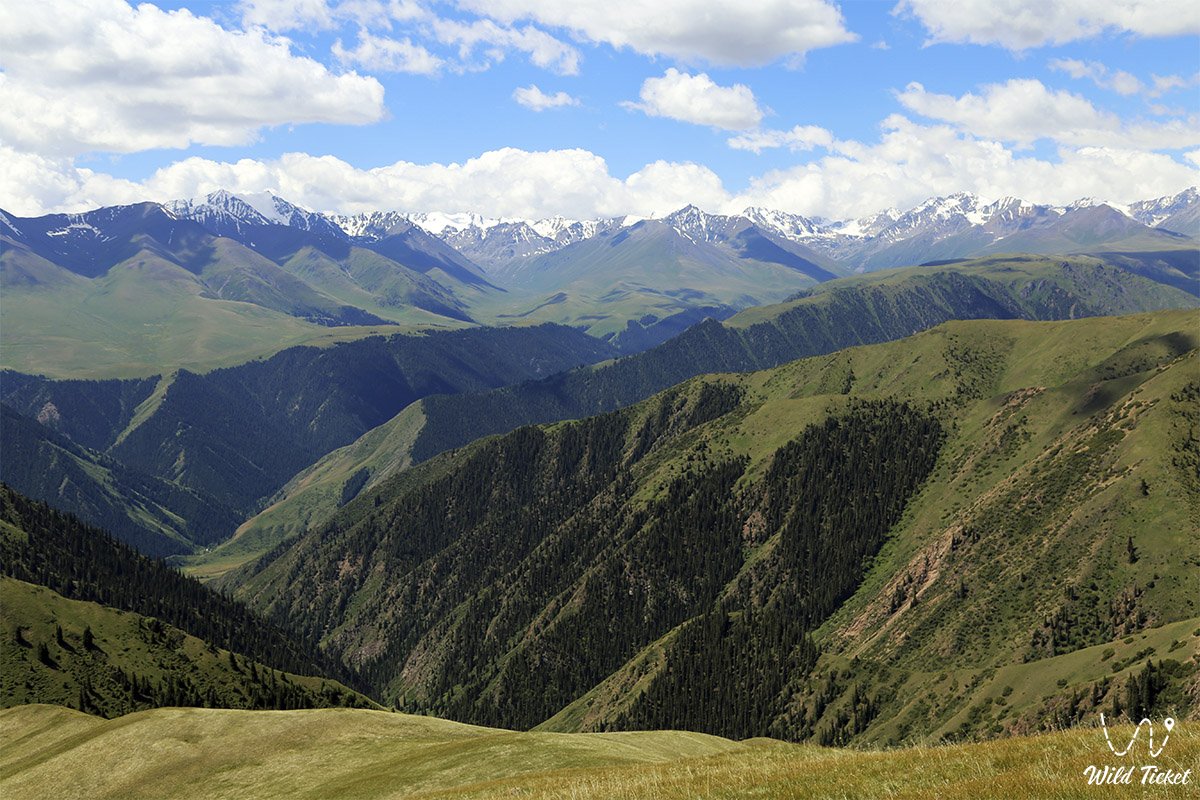
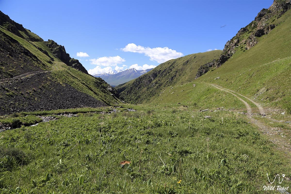
Photogallery: