Zhetysu (Jetysu) – Semirechye -
Zhetysu – how to get there -
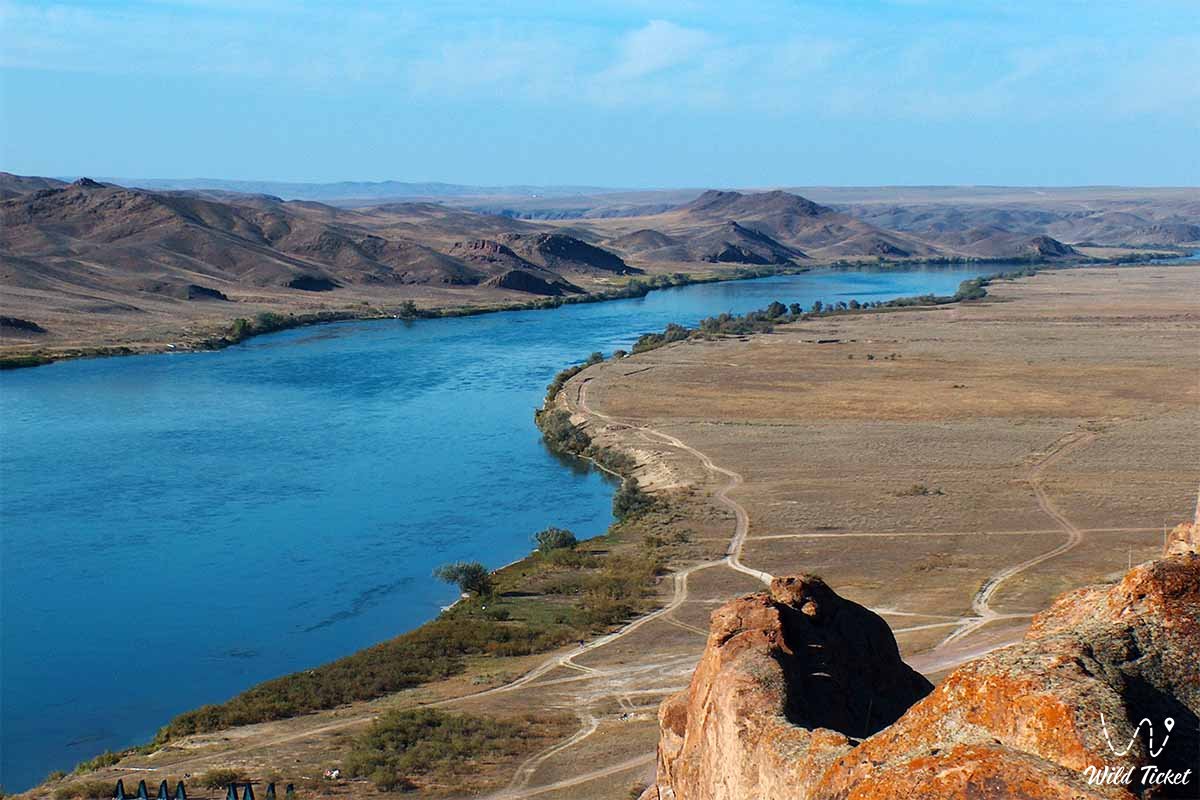
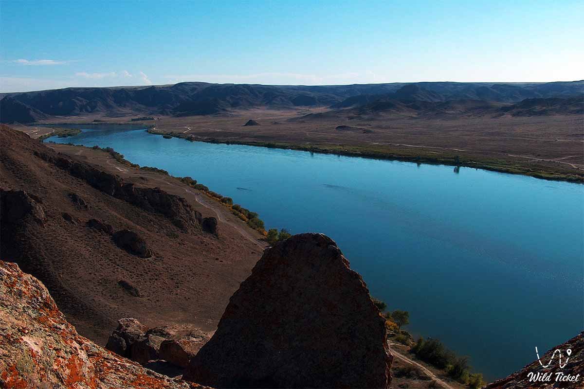
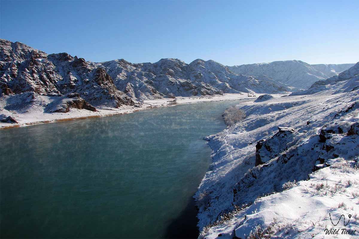
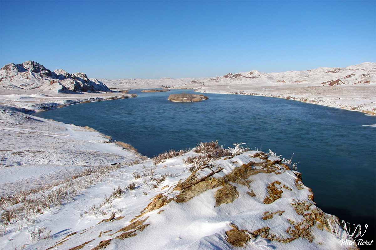
Zhetysu is a historical and geographical region. Zhetysu borders Lake Balkhash to the north, Lakes Sasykkol and Alakol to the northeast, the Zhetysu (Dzungarian) Alatau Mountains to the east and the Northern Tien Shan Mountains to the south and southwest. Historical data and research differ on 7 rivers that are part of the Semirechye. A.K. Gaines names the Lepsy, Baskan, Sarkan, Aksu, Buyen, Karatal and Koksu rivers, A. Vlangali instead of Baskan and Sarkan mentions the Ayagoz rivers in the northeast and Or in the southeast.
According to V.V. Bartold, the locals originally called Semirechye the area extending north of the Ili River, which includes the rivers Lepsy, Baskan, Aksu, Buyen, Kyzylagash, Karatal, Koksu. The idea of a mountainous region extending south of the Semirechye and Ili Rivers spread in the 19th century, as well as to the northwestern and central regions of the Tien Shan. In historical literature, the concept of Semirechye also includes the delta, which includes the basin of the Shu River and the upper reaches of the Naryn River.
History
Archaeologists, historians, and geographers divide Semirechye into the Northeastern Semirechye (from Lake Balkhash in the north to the Ketpen mountain range and the Zailiysky Alatau mountains in the south, from Lake Alakol in the northeast to the Shuili watershed in the southwest) and the Southwestern Semirechye (Shuiskaya and Talas Valleys). When giving such a historical and geographical definition of Zhetysu, they take into account not only the natural conditions of the region, but also the peculiarities of its past economic, political, and ethnocultural development.
General information
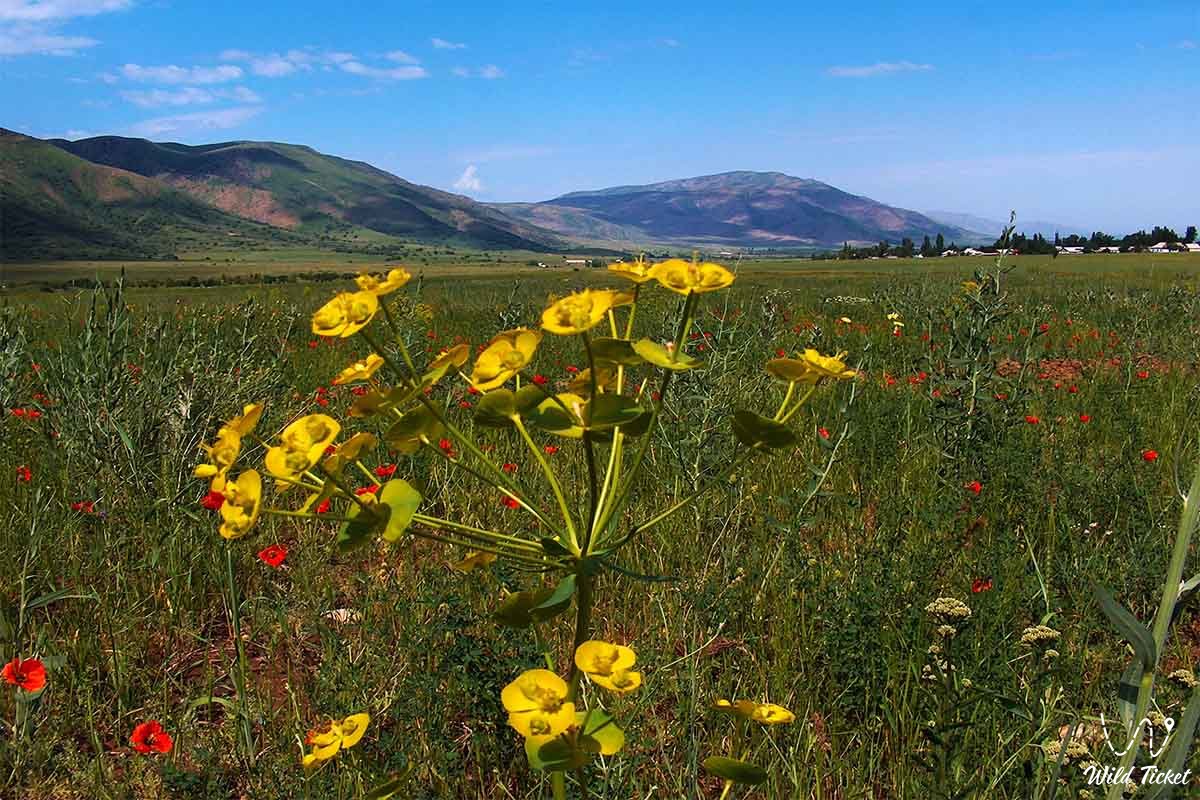
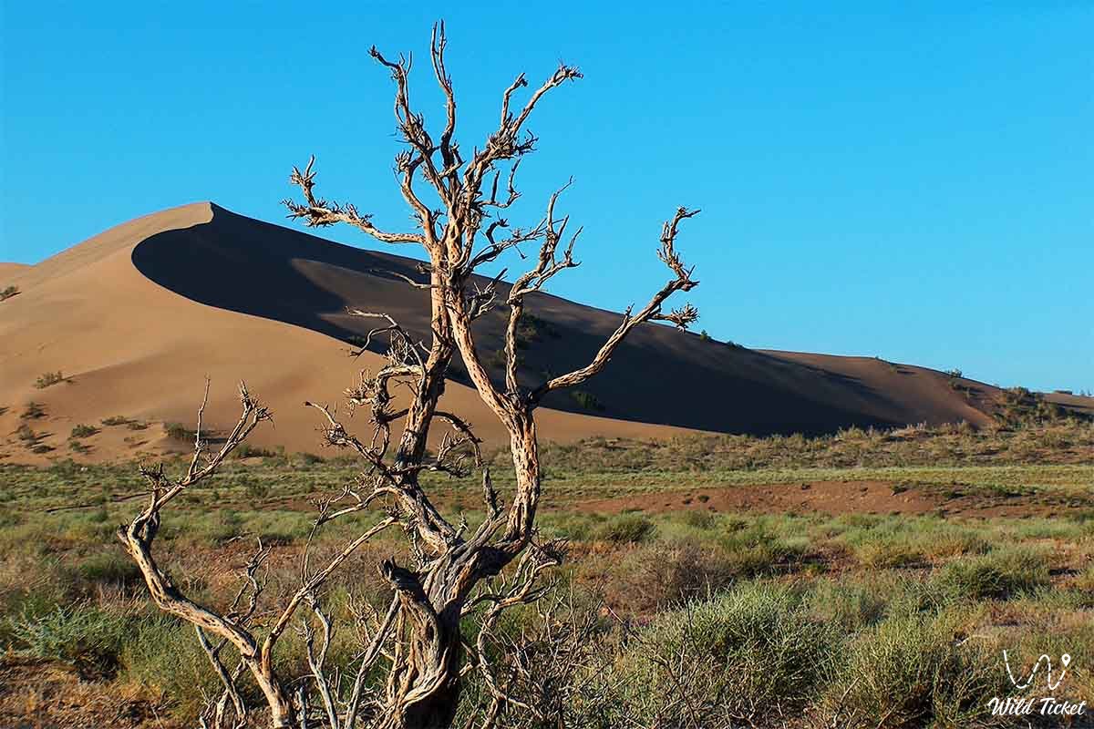
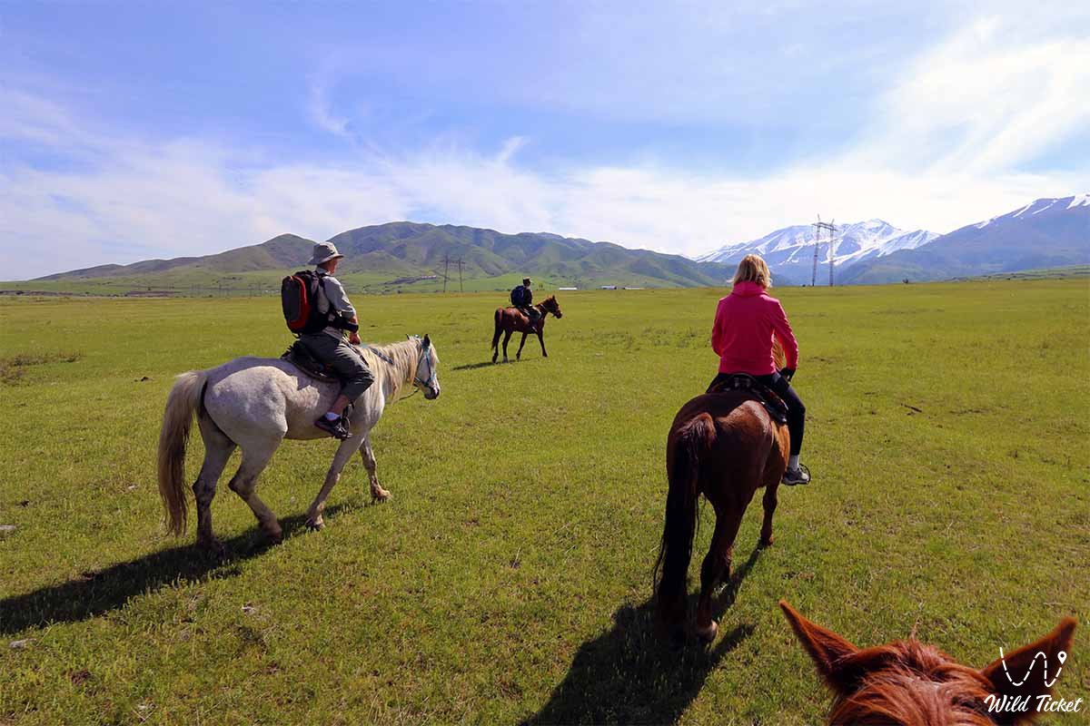
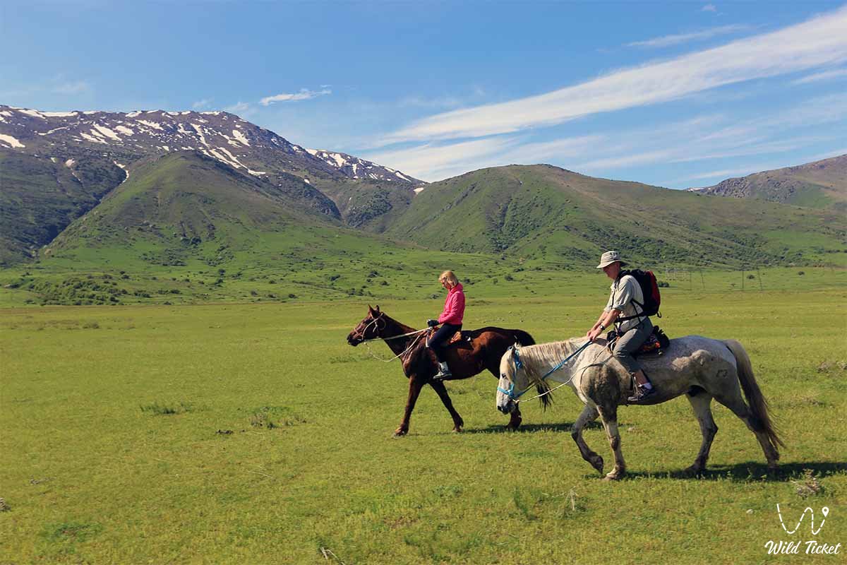
The vast territory of Semirechye (900 km from north to south and 800 km from west to east) and the different heights of the mountains also contributed to the diversity of its climate and landscape. Agriculture in this region has long been oasis-based and required artificial irrigation. Pastoral cattle breeding is widespread. In the foothills of the southeastern part of Semirechye (at an altitude of 600 - 1200 m), the weather is wet, brown, cool and changeable, and the soils are fertile. There are many mountain rivers used for irrigated agriculture. Fruit and deciduous trees grow above it.
The area is rich in green fruit trees and meadows for grazing livestock. Such favorable natural and geographical conditions have made Semirechye one of the oldest cultural centers of Turkestan. The tribes inhabiting it play an important role in the historical formation of the Kazakh people, the formation and strengthening of the state, and the development of culture.
The emergence of animal husbandry and agriculture in the Semirechye region dates back to the Neolithic and Eneolithic eras. In the Bronze Age. The material and spiritual culture of the inhabitants of this region was further developed, copper and bronze tools, cattle breeding, agriculture, hunting and fishing began to appear. By the middle of the first millennium BC, the period of isolation of pastoral communities in the Semirechye region had ended.
Ancient tribes
The economy of the ancient local tribes turned Zhetysu into an independent economic zone. Semirechye was inhabited by the Saks. They were engaged in cattle breeding and irrigation farming, using bronze and iron tools. Archaeologists have excavated the remains of the first settlements in the Talas Valley. In the middle of the 6th century, Zhetysu became part of the Turkic Khaganate. And in 581, the Western Turkic Khaganate separated from it. Its central district was Zhetysu, and its capital was Suyab. In the 30s of the 7th century, two estates called dulu appeared in Semirechye to the east of the Shu River, and Nushebi to the west. Until the 8th century, they were dependent on the Eastern Turkic Khaganate.
At the beginning of the 8th century, the ruling groups of the Turgesh, who migrated between Shu and Ili, seized power in Semirechye. The Turgesh Khanate (704-766) was weakened by the aggravation of internal social conflicts, constant clashes with the Arabs in the south and the Chinese in the east. Another Turkic tribe, the Karluks, seized power in Zhetysu. During the reign of the Turgesh and Karluk khaganates (766-940), old cities that were centers of crafts and trade along the rivers Shu, Talas and Ili grew, and new ones appeared (Atlakh, Hamukent, Kulan, Merke, etc.). In the 9th-10th centuries, sedentary agriculture appeared in the northeastern part of Semirechye, traces of which can be found in Almaty, Talgar, Dungen, Koylyk, Kargaly, etc. preserved in the ruins of cities. Handicraft production increased, economic ties with neighboring nomadic tribes developed, and trade grew. The use of money and the issuance of local money appeared (in Taraz). The Turkic tribes that inhabited the Semirechye region were largely sedentary.
Groups that understood the effectiveness of trade and exchange with Central Asia and East Turkestan tried to increase livestock numbers by occupying good pastures. The nomadic poor, deprived of livestock and pastures, were now forced to engage in agriculture, handicrafts and join the urban population. After the invasion of the Semirechye region by a nomadic Turkic tribe from East Turkestan (940), it became part of the Karakhanid state. Thus, the Semirechye region, together with Eastern Turkestan, formed the eastern part of the Karakhanid state under the rule of Elkhan (Karakhanid state). At the end of the 10th century, the capital of the Karakhanid dynasty was the city of Balasagun on the Shu River. In a part of Semirechye, representatives of the Karluk and Shigil tribes seized power.
Ancient history
Studies by medieval authors (Maqdisi, Ibn Khordadbek, etc.) and archaeologists from Kazakhstan and Kyrgyzstan prove that sedentary agriculture and urban culture flourished in Zhetysu in the 10th-11th centuries. Newly formed farms and urban settlements are now appearing not only on trade routes, but also in remote areas of the region (lower reaches or).
In the XI-XII centuries, the main cities and settlements (Shelek, Kapal, Arasan, Lepsi, etc.) appeared in the northeast of Semirechye. Babaji Katyn Mausoleum (10th-11th centuries) and Aisha Bibi Mausoleum (11th-12th centuries) are witnesses of the high level of architectural development. The Turkic tribes inhabiting Semirechye and other regions of Kazakhstan became ethnically closer. 1129-30 The Khitans invaded Zhetysa and soon mixed with the locals. The territory north of the Ili River was still under the jurisdiction of the Karluk Khanate (the capital of Koylyk). The Khitan invasion lasted until the beginning of the 13th century.
The Turkic-speaking tribes of Naimans and Kere came to Semirechye and Eastern Kazakhstan. The struggle with the Naiman commander Kushluk Khan weakened the Khitan gurkhan. In 1210, he was defeated by Muhammad Khorezm Shah on the Talas River. Kushluk is dancing Zhetysu now. 1211 Genghis Khan's troops invaded the north of the region in 1218. He won a Badge. As a result, Semirechye was divided into two parts. Most of it (to the south and southwest of Ili) belonged to the Chagatai ulus (the center was near Almalyk), and the lands to the north of Ili belonged to the Jochi ulus. The northeastern part (Tarbagatai, Emil and Kobik) went to Ugedeysky ulus.
At the kurultai in Talas, a state headed by Khaidu (d. 1301) was established on the basis of the former Chagatai and Ugedei uluses. His hometown is located in the Ili Valley. For a while, the domestic political and economic life of the country returned to normal. However, the internal strife of the Chagatai dynasty after his death, as well as wars with neighboring khanates, had a significant impact on the population of Semirechye and its economy. In the first half of the 14th century, the conflict between the ruling factions of Semirechye and Mauerannahr intensified.
In the middle of the 14th century, the western and eastern parts of the Chagatai ulus began to disintegrate. One of the main reasons for this was that as a result of the invasion, they were formed from different ethnic groups in terms of economic, political and historical development. The rulers of the Dulat tribe in the eastern part of the Chagatai ulus created a new state called Mogulstan and proclaimed Togluk Temir Khan from among it (1348-62/63).
Now the Turkic tribes of the Semirechye region, which has become the central part of Moghulstan, have the opportunity to ethnically regroup. However, they were still far from their brothers and sisters with similar cultural and historical ties in other regions of Kazakhstan. The union of tribes in Moghulstan included local Turks such as Dulat, Kangly, Kerey, Barin (all), Bulgashi and the Mongolian tribes assimilated into them. Later they became part of the Kazakhs and Kyrgyz (15th and early 16th centuries).
The political situation of the Semirechye region in the second half of the 14th century in Moghulistan was characterized by mutual conflicts and invasions by Amir Temir. Qamar al-Din Dulati conquered most of Semirechye in the 70s of the 14th century. In addition to this ulus, Zhetysu contained the ulus of the Mongol ruler Enketore, the ulus of the rulers of the Bulgachi tribe, and several independent estates.
Due to the lack of a centralized government, Semirechensk residents were unable to resist the invasion of Amir Temir. The invasion prevented the economic and political strengthening of Moghulistan and the White Horde. In the late 80s of the 14th century, Amir Temir began to strike together. The Semirechye rulers Kamar ad-Din Dulati, Enketore, the Mogul khan Kyzyr-khoja (1389-99) and the Deshti Kipchak khan Toktamys united against him. Such a union was important for the interdependence of the Desht-Kipchak and Semirechye tribes.
As a result of Amir Temir's bloody campaigns, the population of Semirechye decreased, agriculture collapsed and livestock numbers decreased. In the first half of the 15th century, riots in Semirechye did not stop. The temporary lull in the internal political situation in Moghulistan under Kyzyr-khoja, Muhammad Khan (1408-15), and Uais Khan was disrupted by the invasion of the Semirechye by the troops of Amir Temir (1425 (Ulugbek's campaign) and the attacks of the Oirats (Kalmyks).According to Mohammad Haidar Dulati, around 3030 About 30,000 Mongol families were sent to Mauerannahr, and part of the Barin and Khora tribes moved to the Oirats ruled by Amasanji Taisha.This was a sign of popular protest against internal strife. The rule of the new Khan of Moghulstan Esenbugi (1424-62) was limited to a part of Kashgaria.
It was only in the late 40s and early 50s of the 15th century that he was able to subdue the nomads of Semirechye. However, despite these difficulties, the process of unification of the Kazakh tribes inhabiting the Semirechye (Kazakh land as a whole) continued, and now it became clear that they wanted to separate from Moghulstan.
This was facilitated by the natural, geographical, economic and historical situation in the northern and southern regions of Mongolia (Semirechye and Tien Shan, parts of East Turkestan), as well as the ancient cultural, ethnic and kinship ties of the Semirechens with tribes in other regions of Kazakhstan. According to the Tarikhi-i Rashidi, about 200,000 Kazakhs moved here in 1465. They were accompanied by Sultans Zhanibek and Kerey, descendants of Barak Khan, who fought with Abulkhair Khan.
Thus, Zhetysu became the center of a political and ethnic association of tribes from Desht-Kipchak, as well as local Kazakh tribes. In the mid-60s and early 70s of the 15th century, the Kazakh Khanate was formed in the western part of Semirechye. In the late 15th and early 16th centuries, the borders of the Kazakh Khanate gradually expanded in Semirechye, Deshty-Kipchak and the northern part of the Turkestan region (including the cities of Suzak, Sauran, Syganak). The Kazakh tribes and clans that inhabited these lands united into the Kazakh Khanate, completing the long process of forming the Kazakh people.
In the course of the historical development of the Kazakh people, three groups of tribes emerged. Although each of them had common economic interests, they differed from each other geographically. In this regard, the formation of three zhuzes in the Kazakh steppes, including the formation of the Great Zhuz in Semirechye, was completed in the late 15th and early 16th centuries. Under Kasym Khan (1511-23), the borders of the Kazakh Khanate reached the Karatal River, and under Tair Khan it covered the territory up to the Kas and Kunes rivers. The strengthening of the Kazakh Khanate in the early 16th century. it accelerated the liquidation of Mughal power in Semirechye. The khans Sultan Said (1514-33) and Abd ar-Rashid (1533-65), who ruled the East Turkestan region, tried to regain Semirechye. However, the Kazakh rulers, in alliance with the Kyrgyz, did not implement it. This struggle did not stop during the reign of Aknazar Khan. In the 17th century, the dead zhuz, like other Kazakh zhuzes, was considered a separate khanate.
The Zhetysu tribes trade with other settled agricultural areas. there was a relationship. In 1643, the Dzungarian settler Batur conquered most of the Semirechye region. And in 1681-88 . The Dzungarian Khanate made several expeditions from Semirechye to Southern Kazakhstan. In the 18th century, most of Semirechye was under the control of the Dzungarian Khanate. After the defeat of the Dzungarian state by the Qin Empire, Semirechye was under threat of conquest by this empire. The southern part of Semirechye was conquered by the Kokand Khanate in the 19th century. The Kazakhs of the Great Zhuz fought against the impoverished violence of the Dzungarian and Kokand khanates. In the mid-40s of the 19th century, Kazakhs who migrated to the Kapala region of Semirechye were captured by Russia. Part of the Semirechye region reached the Ili River and became part of the Russian state. 1854
A Faithful fortress was built in Almaly, which was considered a "reliable" stronghold of tsarist Russia during its colonization of Central Asia. 1860 Together with the Kazakh cavalry, the Russian army defeated the army of the Kokand Khanate at the foot of the tree. 1860 Eventually, tsarist Russia completely colonized Semirechye. In 1867, the Zhetysui district was established on the territory of Zhetysu. Zhetysu was one of the largest centers of the national liberation movement in 1916. 1924-25 After the national-state demarcation in the republics of Central Asia, Semirechye became part of Kazakhstan and Kyrgyzstan. After Kazakhstan gained independence in 1991, Zhetysu, as the ancient homeland of the Kazakh people, became a region with a developed culture and a strong economy of a single state.
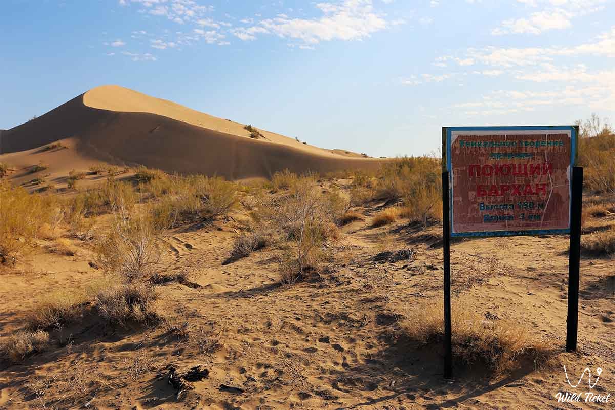
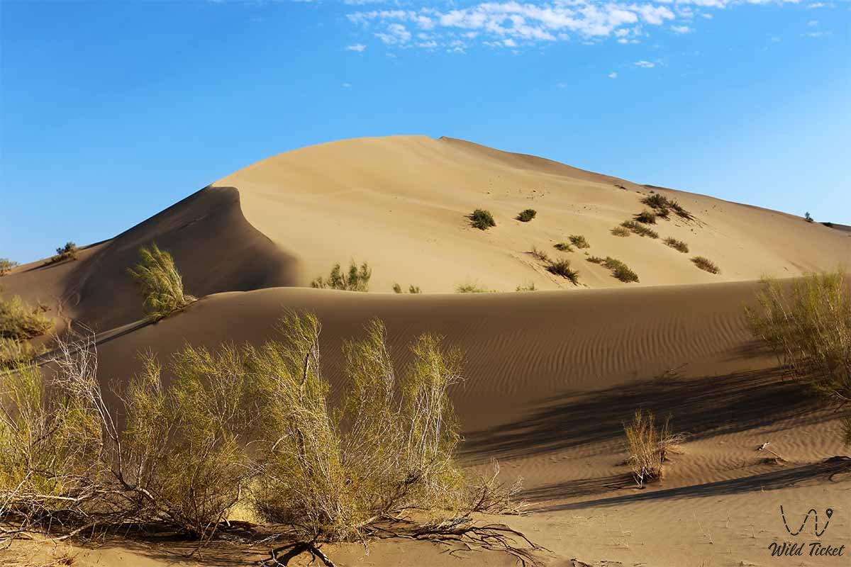
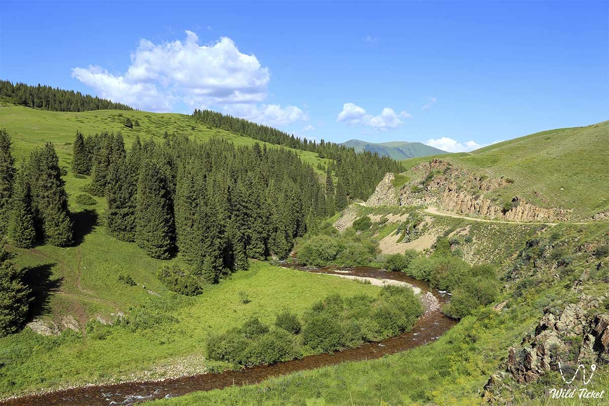
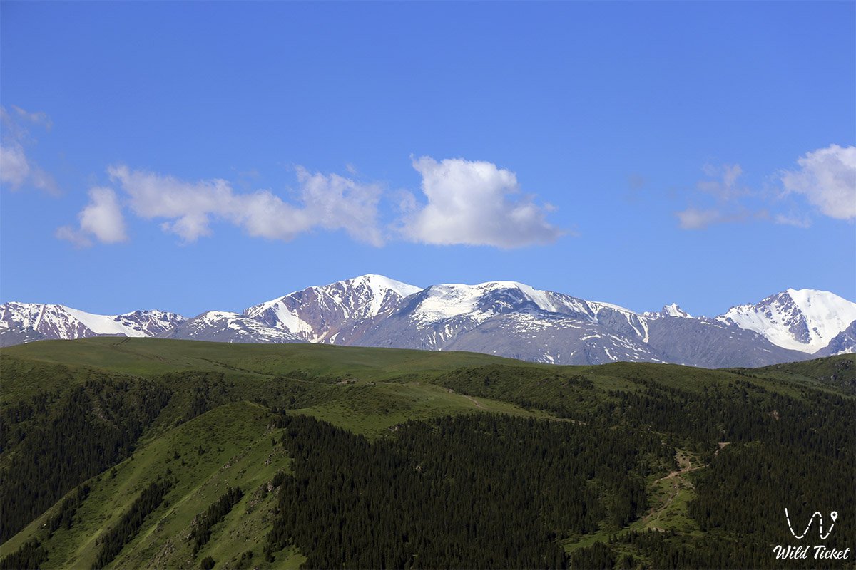
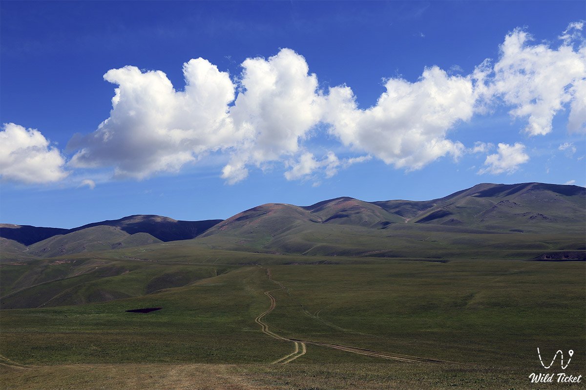
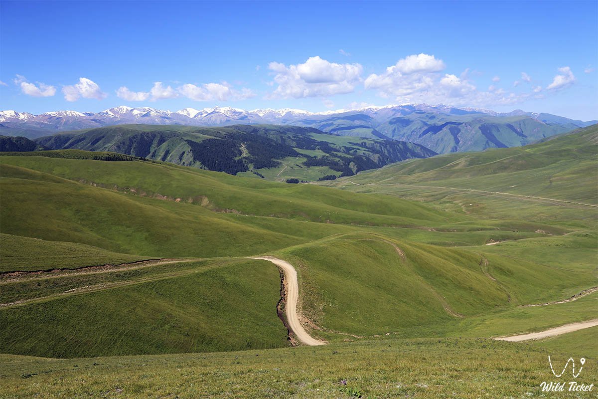
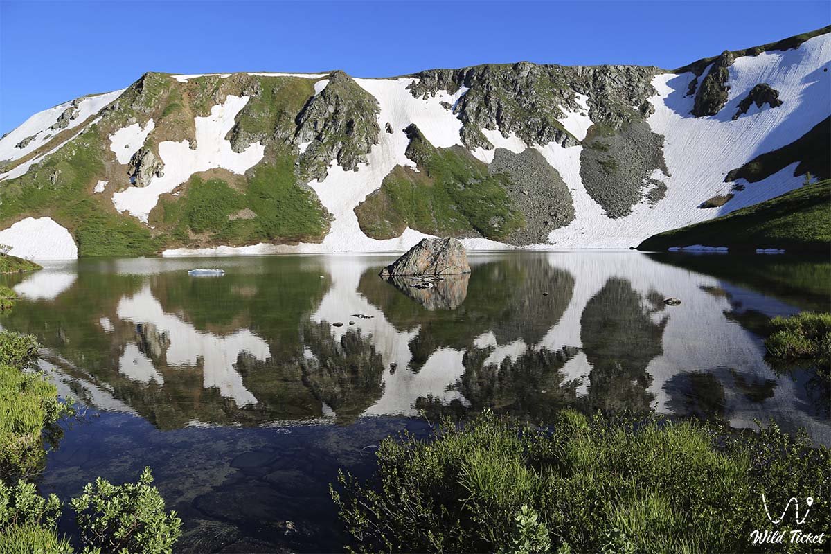
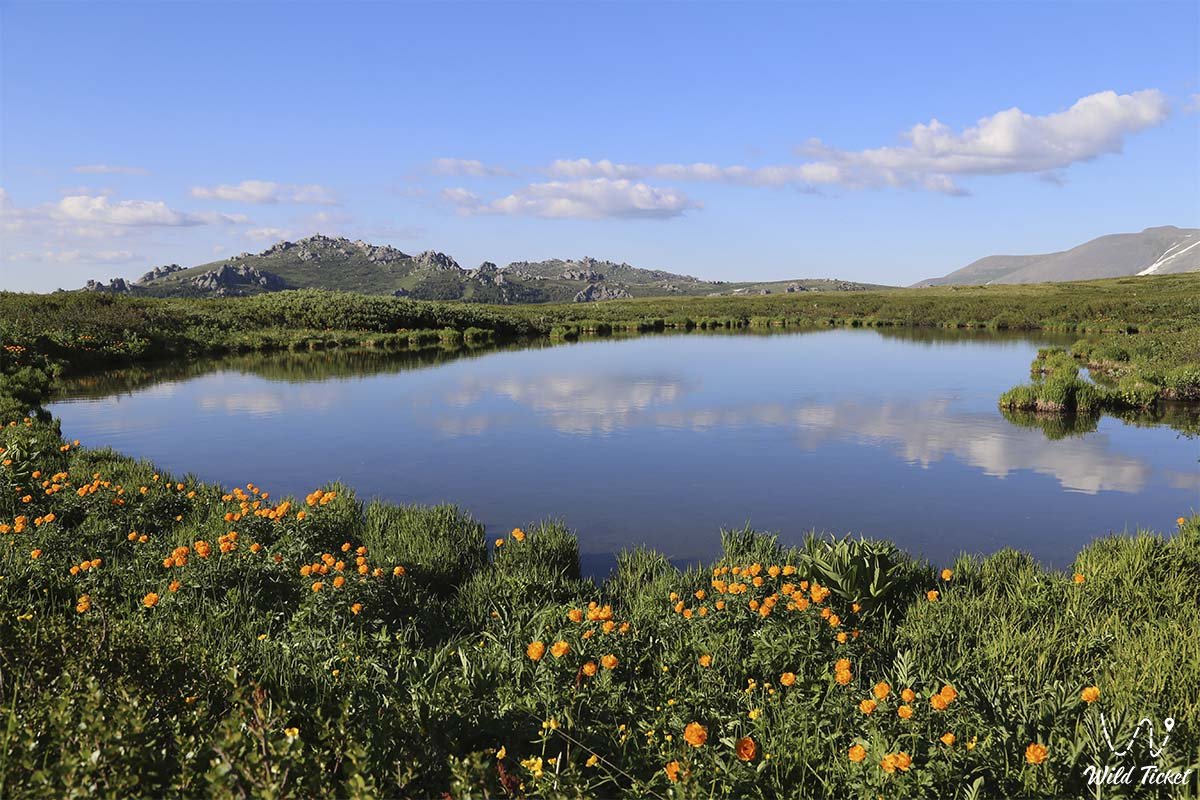
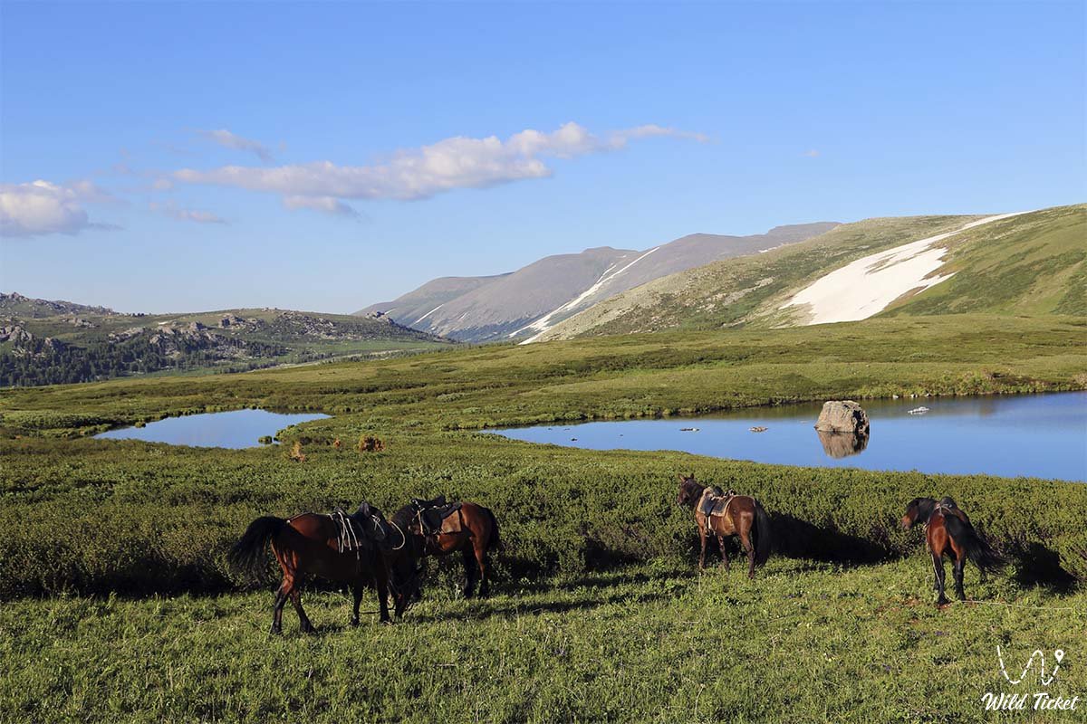
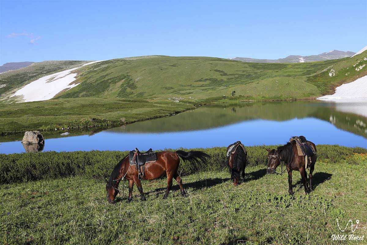
Photogallery: