Tours to historical and archaeological sites of Kazakhstan -
Historical tours of Kazakhstan -
Otrar-(kaz. Otyrar) Tarband, Turarband, Turar, Farab, a medieval city, known since the beginning of the 8th century. Otrar was an important city on the trade route from Iran and Central Asia to Siberia, Mongolia and China, merchants who traded with nomadic tribes along the route on which the city was located in the 5th-15th centuries. According to some researchers, the city then housed the world's largest library and many mosques-madrassas, the city grew and prospered.
---------------------------------------------
How to get there, visit -
The city of Otrar is located in the Turkestan region, Otyrar district, 10 kilometers from the Timur railway station, and near the village of Talapty and 57 km from the city of Turkestan.
GPS coordinates: 42°51'09"N 68°18'10"E
---------------------------------------------
History
In 1218, the merchants of Genghis Khan's caravan were killed by the ruler of Muhammad Khorezmshah of Otrar, the ruler of Kairkhan. This was a pretext for Genghis Khan's invasion of Central Asia. In historical literature, this massacre is known as ” The Otyrar catastrophe". In the autumn of 1219, the Mongol troops reached Otrar. As a result of the Mongol invasion, Otyrar was destroyed, and the inhabitants of the city were killed. But after the catastrophe of 1219, Otrar was reborn.
In 1255, an Armenian traveler calls Otrar one of the largest cities of the Syr Darya. Otrar continued to play an intermediary role in world trade. The city is also highlighted in the works of the Florentine merchant Pegolotti in 1320 about the trade route from the Sea of Azov to the Far East. In the 14th century, the khans of the Ak Horde built madrassas, khanaks, mosques, and schools here. From the 2nd half of the 16th century, the city finally came under the rule of the Kazakhs and existed until about the beginning of the 18th century. Archaeological excavations in Otrar began in 1969 after the organization of the Otyrar archaeological expedition led by K. Akishev.
Information
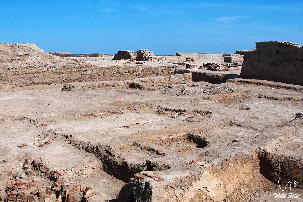
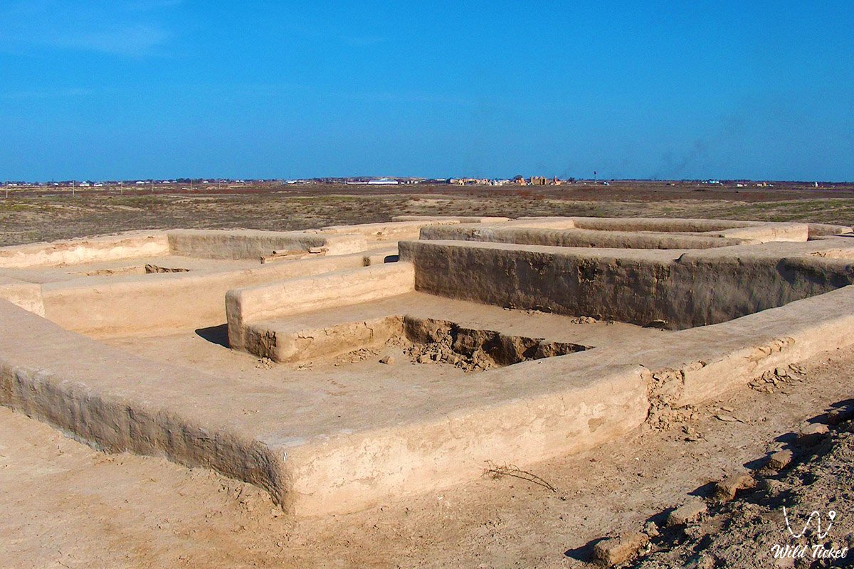
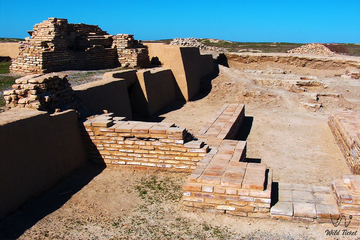
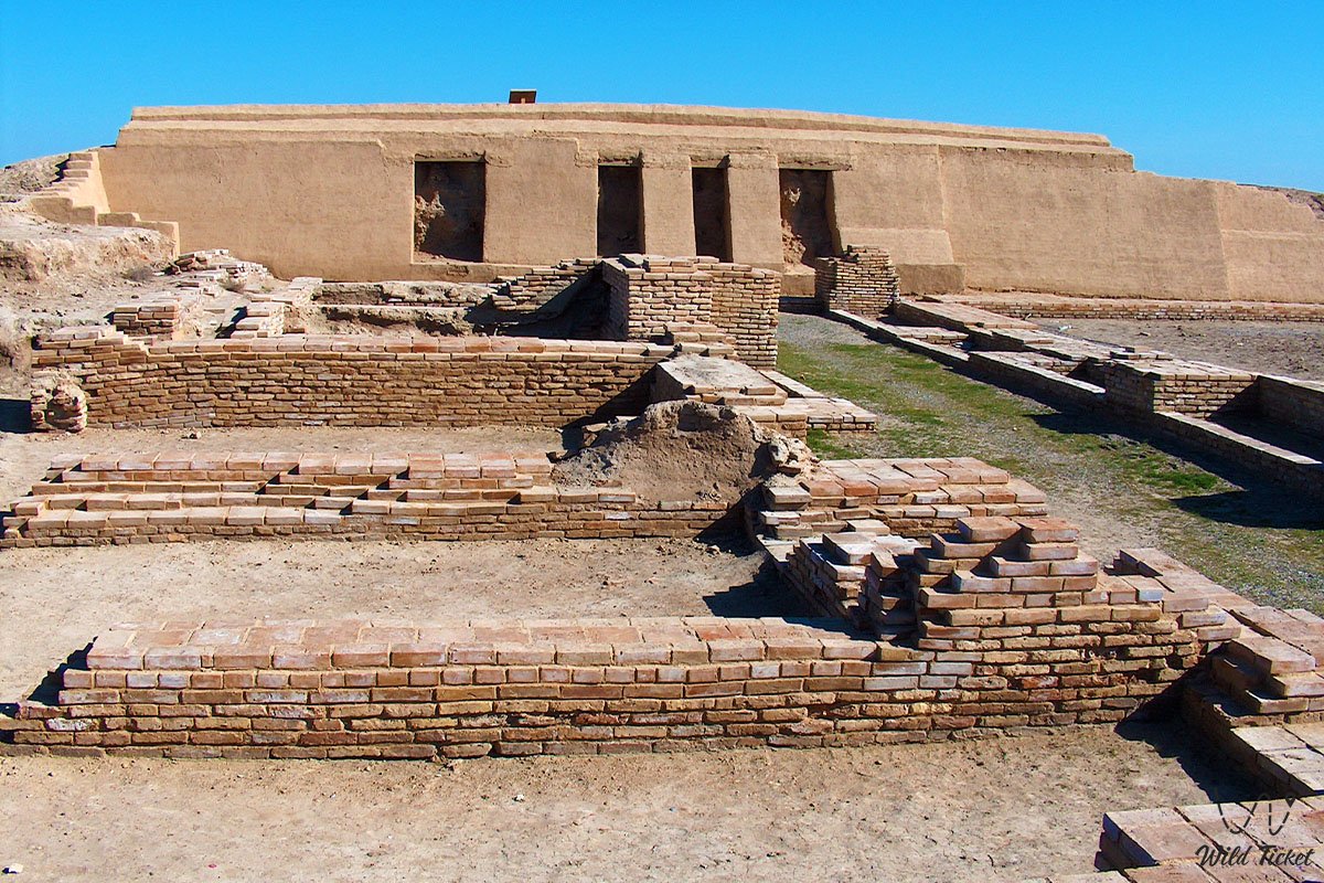
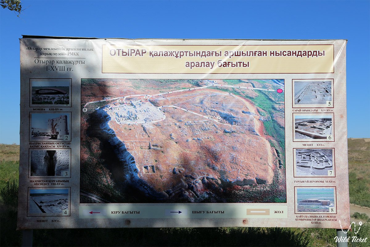
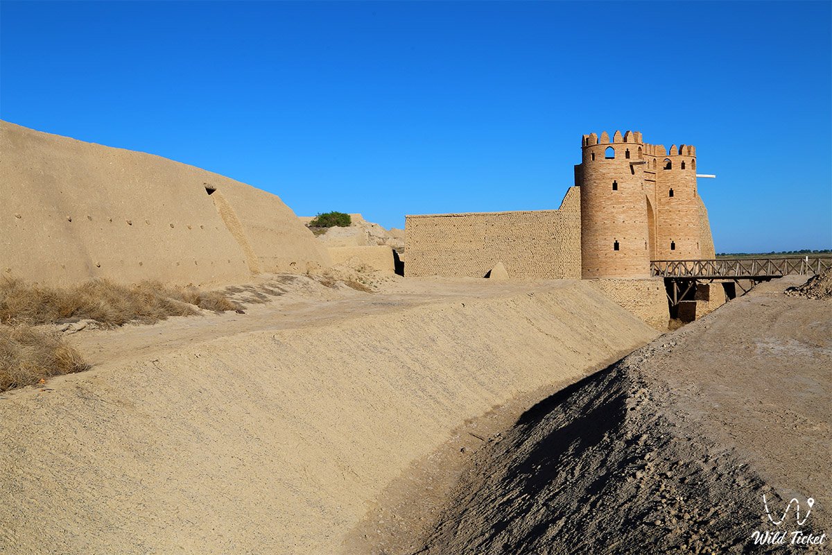
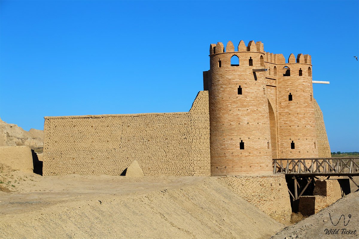
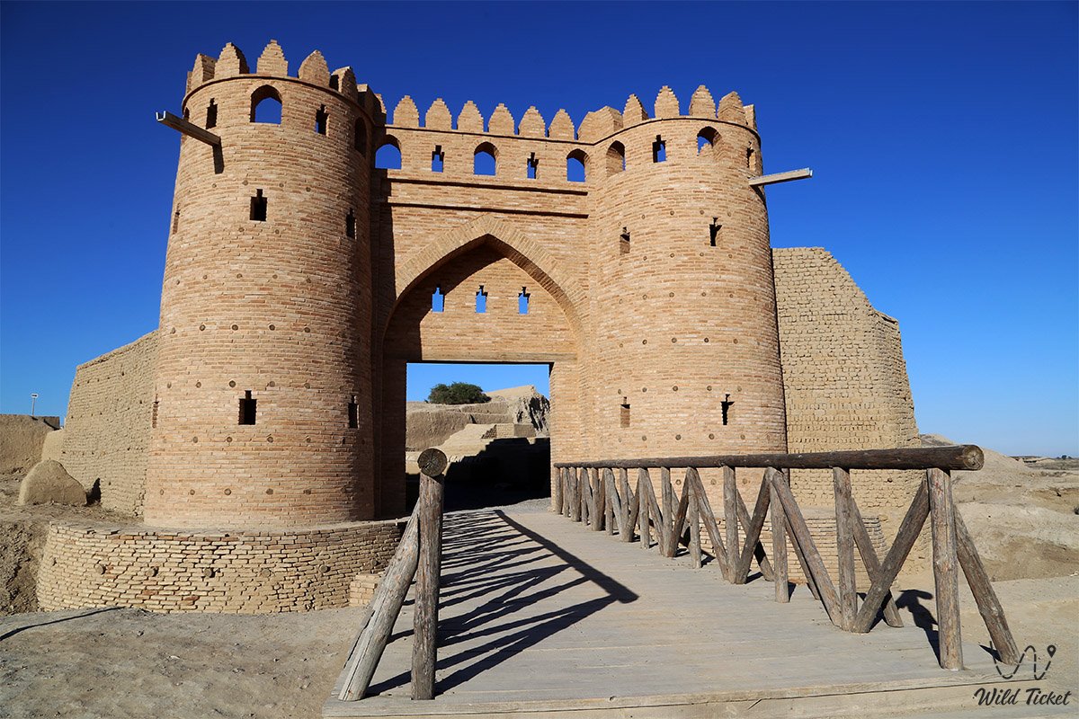
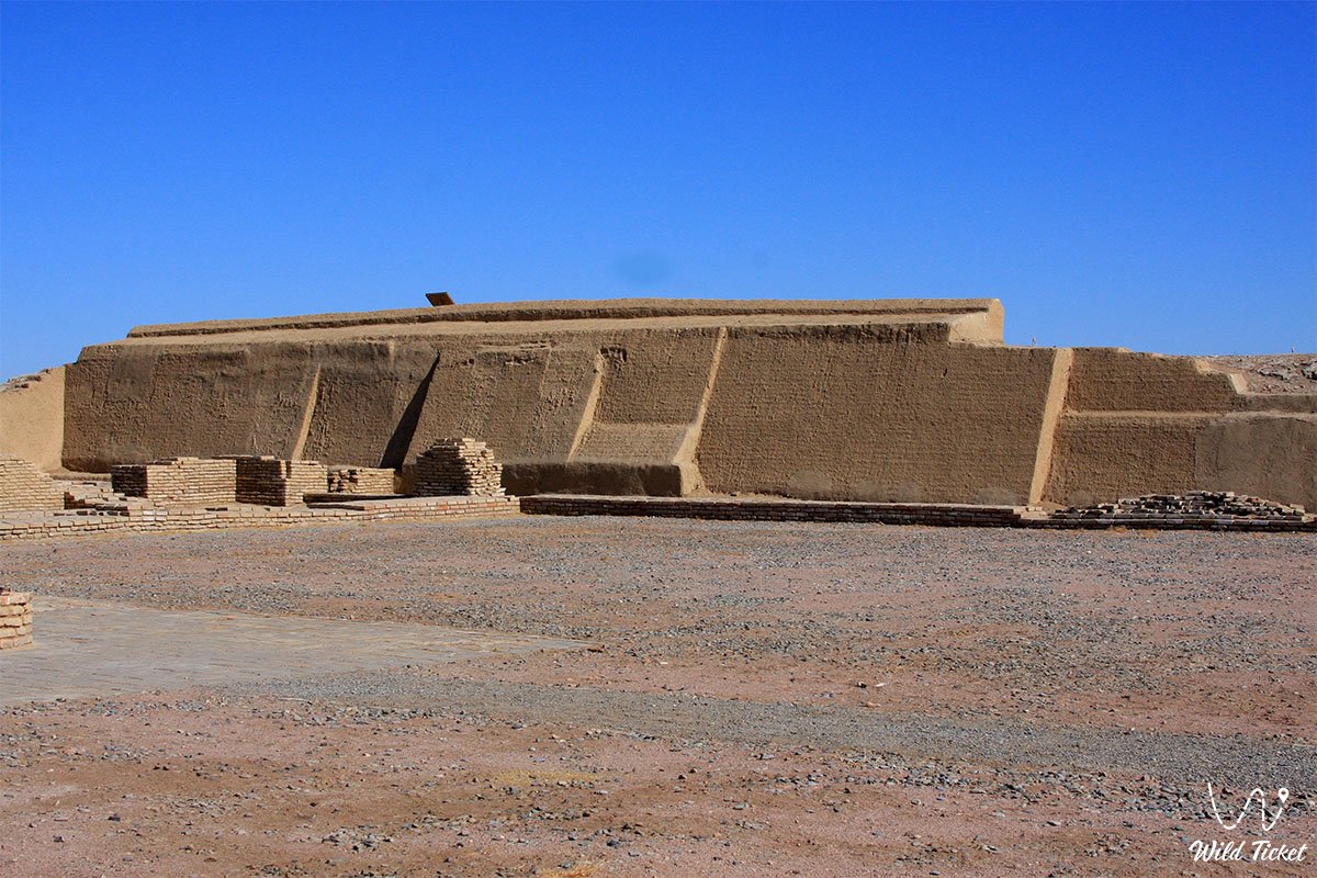
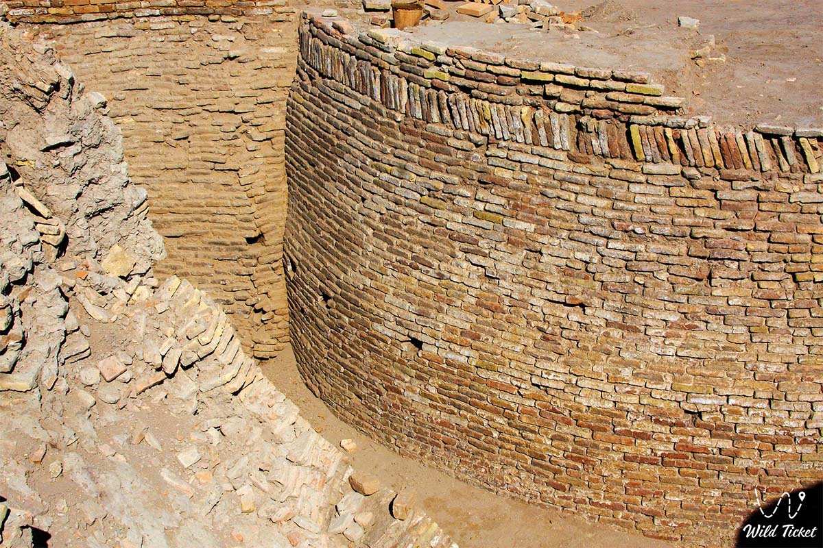
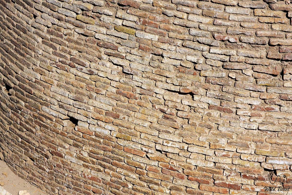
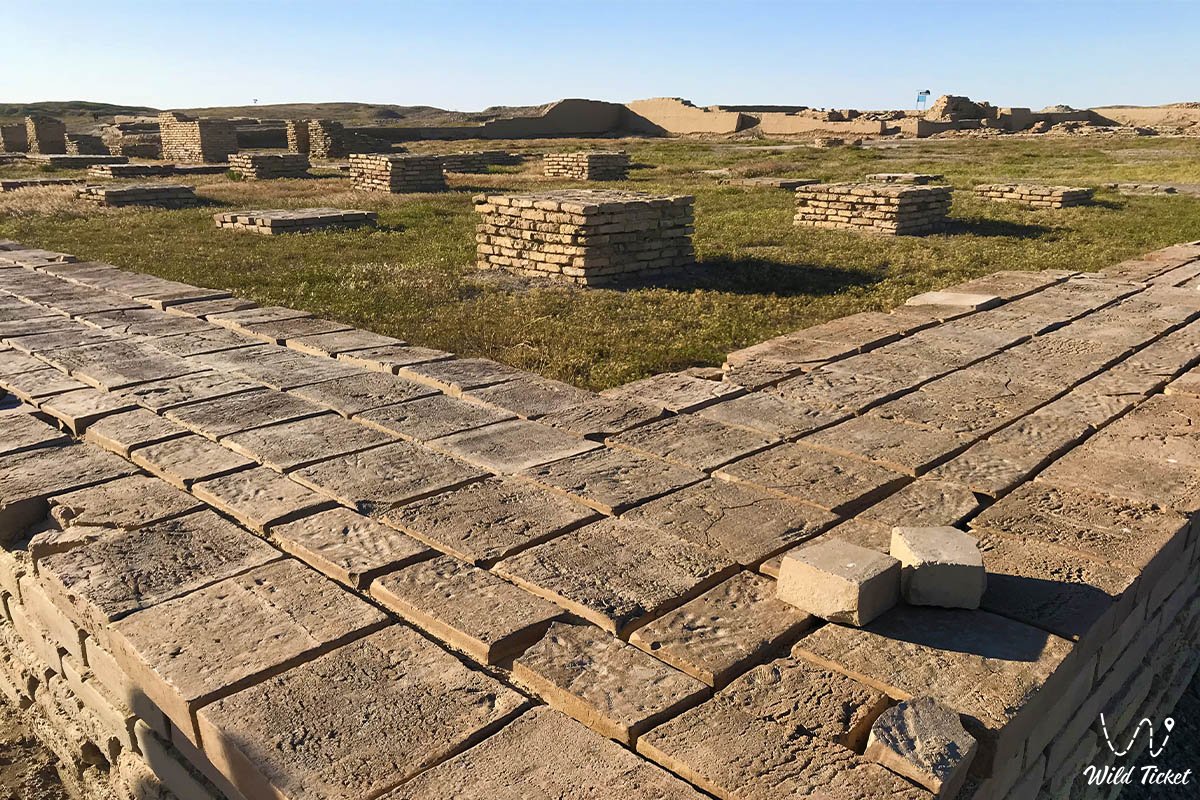
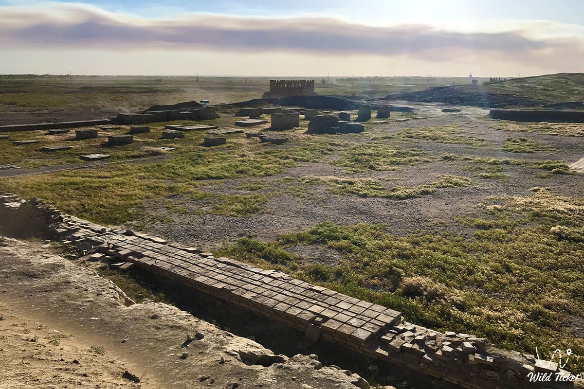
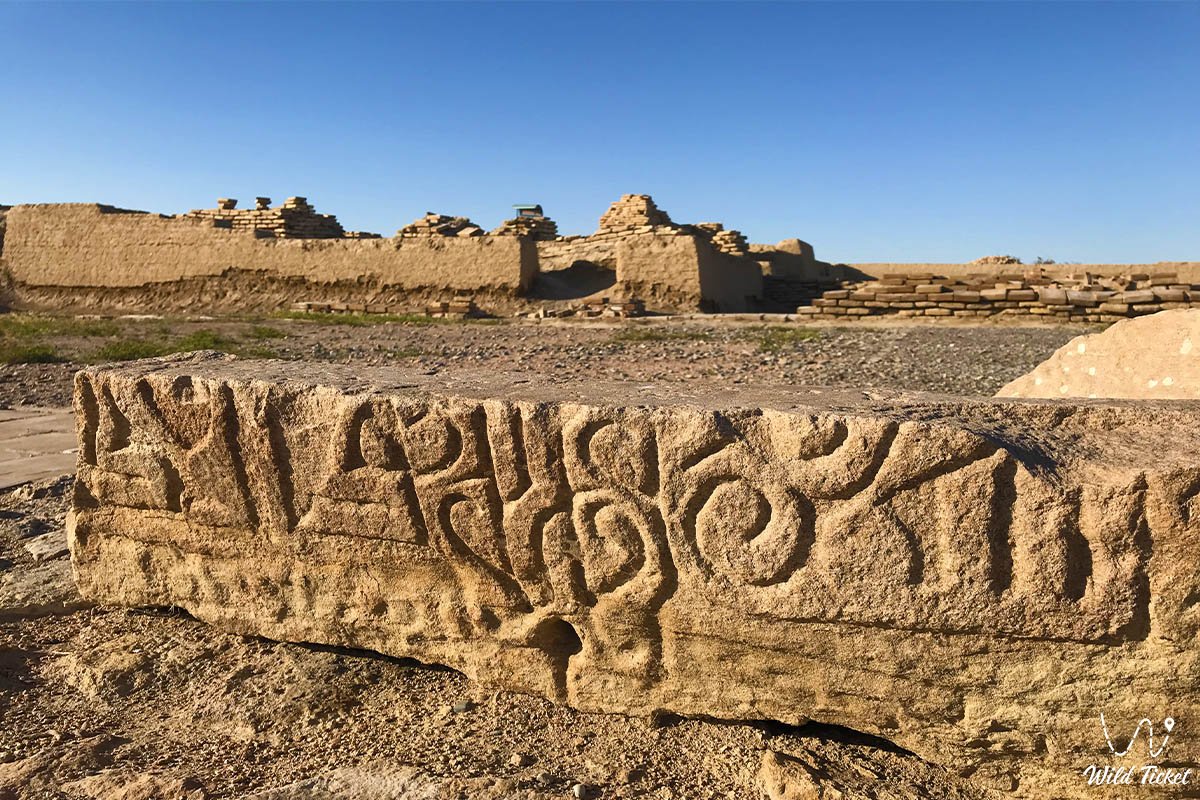
Currently, Otrar, a pentagonal hill. Dimensions: right side-380 m, right west-145 m, west-400 m, east-380 m. The highest point of the hill is 18 meters, the total area is 200 hectares. The city is fenced. Its walls are well preserved on the Eastern side. There is a moat that is dug around the main hill. There were three entrances with gates in the city. Archaeological excavations have made it possible to identify cultural layers on the site of the city, determine at what time they occurred, identify and analyze construction sites. The cultural layer of the city has 16 meters, it consists of 7 cultural layers.
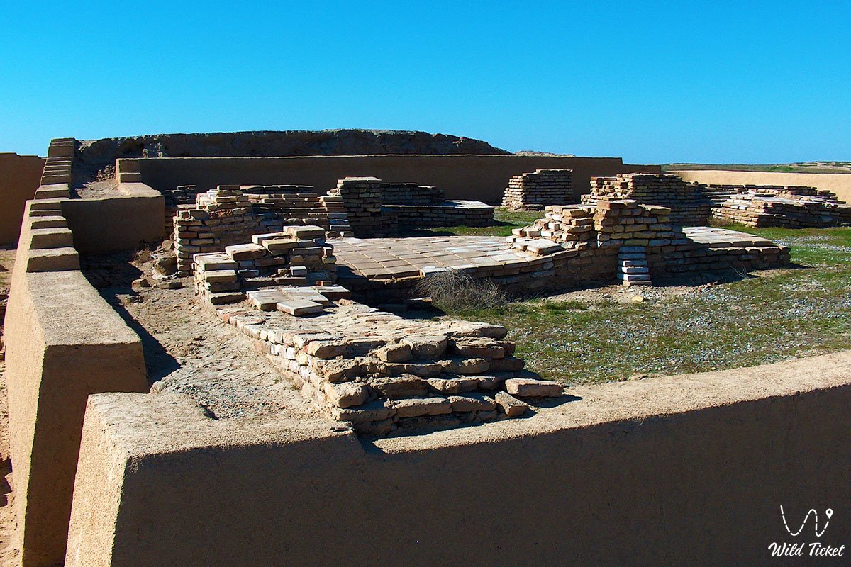
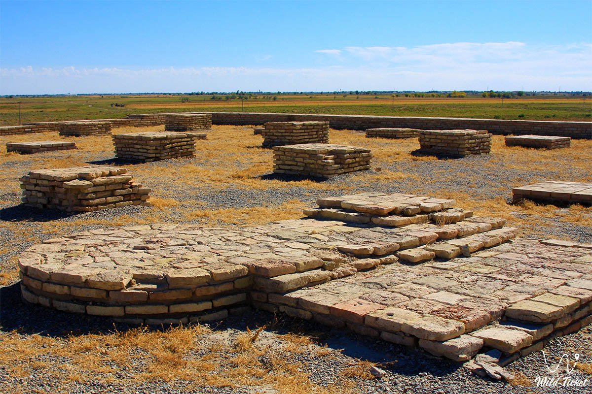
Madrasah of Otrar city
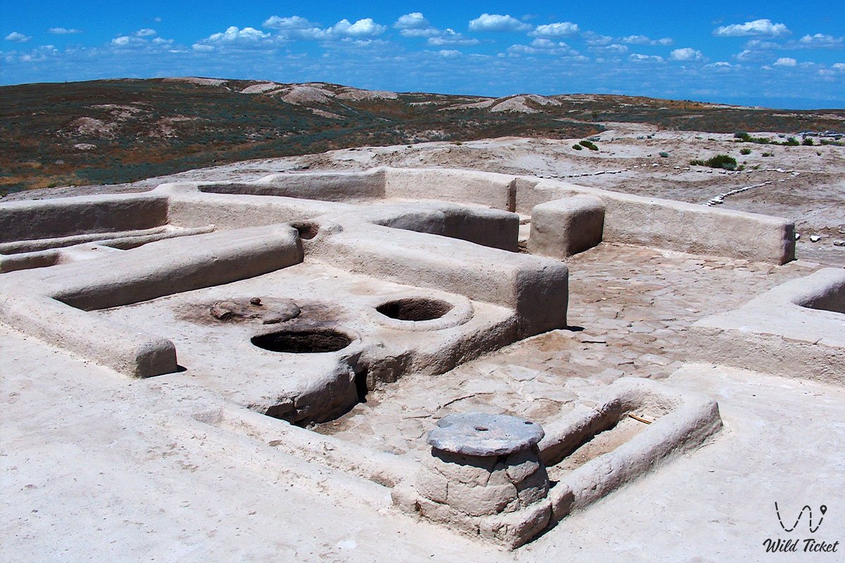
Otyrar Madrasah is a medieval religious educational institution located in the city of Otrar. It was founded at the end of the 8th century and operated until the Mongol invasion. For 10 years, students were brought up in the madrasah, who came in search of knowledge from all sides. In the first 5 years of study at the madrasah, three modern world languages were studied: Turkic-Kipchak, Persian, Arabic. After 5 years, students will attend classes in astronomy, geometry, music, etc. along with religious classes.
Photogallery: