Breakfast. Transfer: Sarkand village – Ekiasha village (Pokatilovka) – Topolevka village (39 km).
From Sarqand, our path lies to the southeast, along the northern slopes of the Markatau Mountains. We pass by the village of Yekiasha, which was called Pokatilovka until 1993. Abilseit Aykhanov, 11-time champion of Kazakhstan in freestyle wrestling, actor Kuman Tastanbekov, who played one of the main roles in the film "Kyz-Zhibek" (1970), was born and grew up in the village, Hero of the Soviet Union Vasily Belenko, participant in the Great Patriotic War, was born and raised here.
We head towards the village of Yekiasha, pass the bridge over the Bolshoy Baskan River and turn northeast to the next village, Topolevka, which is located in the northern part of the Zhamankotyrta mountains. If desired, you can visit the Pitenko beekeepers' apiary in the village.
Transfer: Topolevka village – Terekty River – Kokzhota tract (7 km).
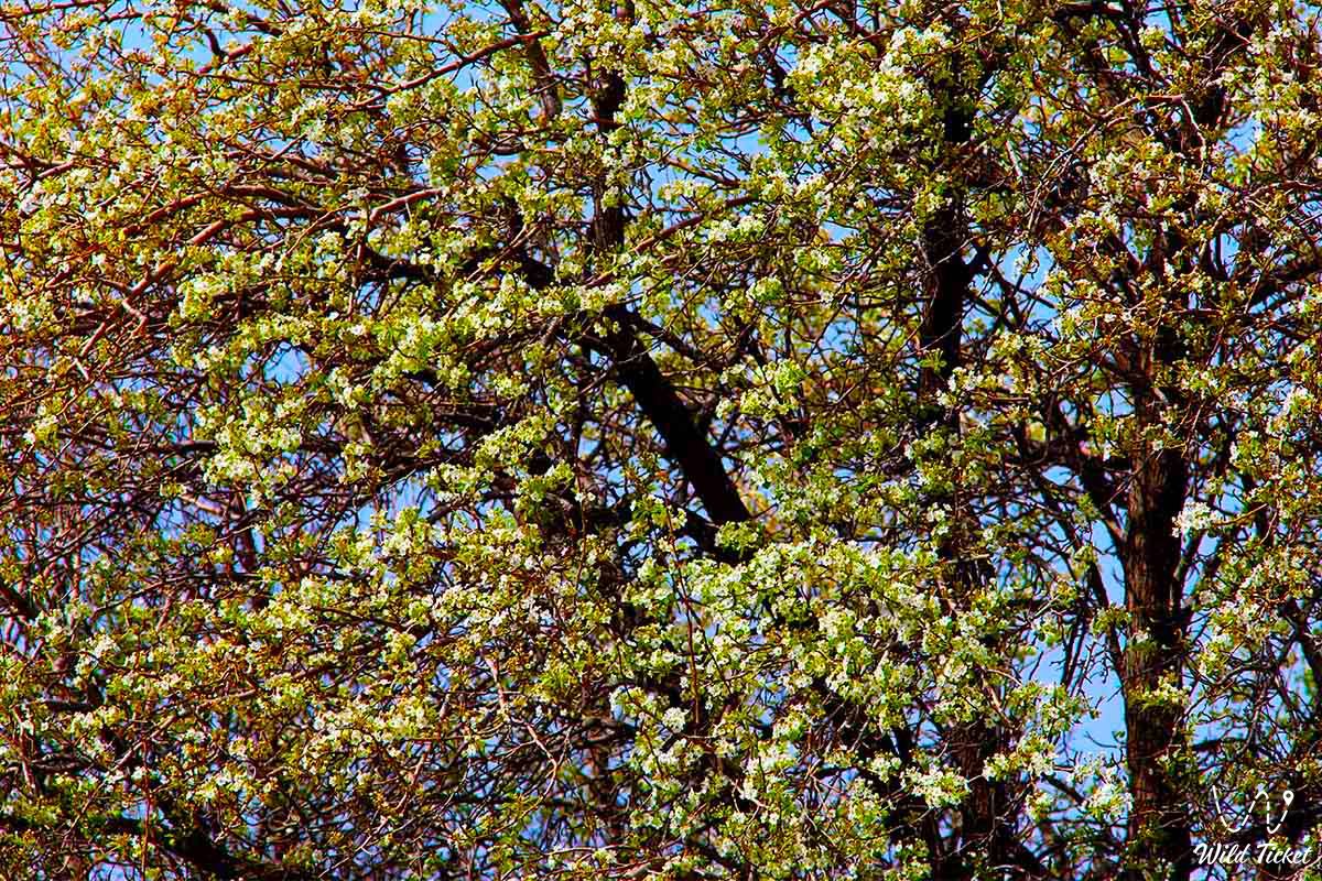
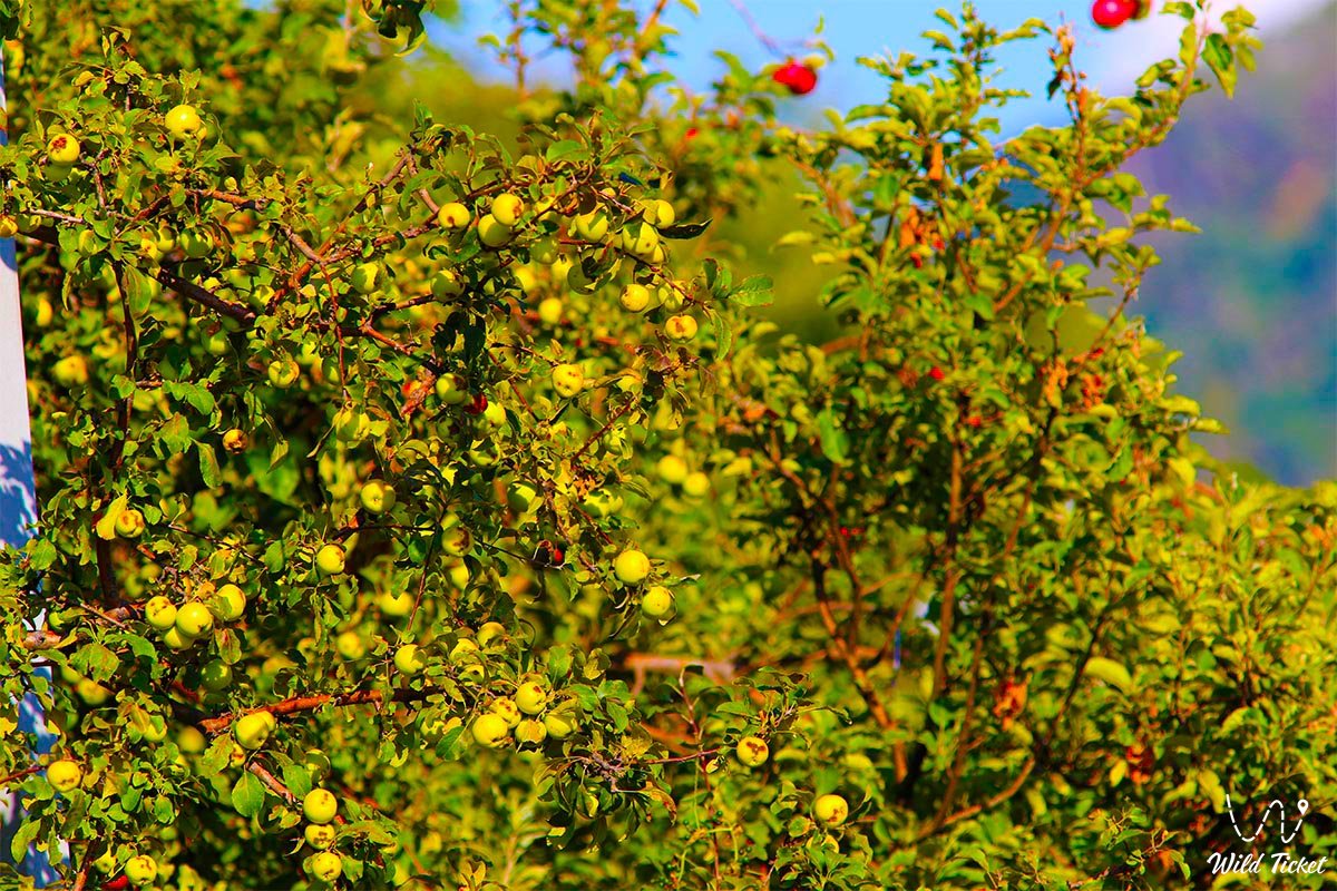
The Kokzhota tract is located on the northern slope of the Dzungarian Alatau Mountain in the upper reaches of the Vasiliev Klyuch River, in the northern part of the Gorely Log tract and in the northwest of the Mynbulak tract. In the Kokzhota tract, we will meet individual trees of the Sievers apple tree and small groups.
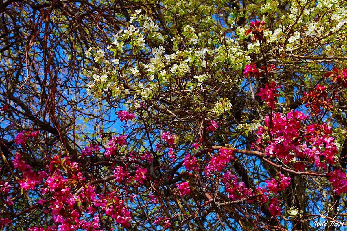
The permanent companions of the Sievers apple tree are two types of trees: the Songara hawthorn (Crataegus songarica) and the common apricot (Armeniaca vulgaris). A walk along the left bank of the Terekta River.
Transfer: Kokzhota tract – Terekty River – Mynbulak tract – Maketkol lake (14 km).
We pass the Terekty River, here is a picturesque place – granite slabs slope down into the river. The water flows among thickets of aspen forest, apple trees, and shrubs. From the Kokzhota tract, our path lies northwest to the southern slopes of the Shatyrbai range.
From here, we turn northwest and drive through the picturesque Mynbulak tract. The Mynbulak tract is located in a small intermountain depression in the northern part in a natural depression, which is home to Lake Mock Kol, this is one of the picturesque places of the northern foothills of the Dzungarian Alatau.
Lake Mock-up Kol is located at an altitude of 1,093 meters above sea level, in the northern part of it there is an embankment dam that blocked the sources of the Maly Zhalanash River. In the southwestern part of the lake grows a rare Lichen (Lychnis), a flowering plant with red flowers, which gives the lake a peculiar flavor against the background of the snowy peaks of the Dzungarian Alatau. A walk in the vicinity of the lake.
Transfer: Lake Mockup Kol – Aganakty River – Bolshoy Zhalanash River – Karbushka river gorge (11 km).
From the Layout, as our path lies to the east, we cross the Aganakty River bridge and head into the Karbushka River gorge. There are thickets of Sievers apple trees on the left bank of the river, and a forest nursery is located just above on the right bank of the river.
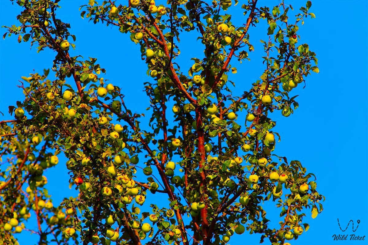
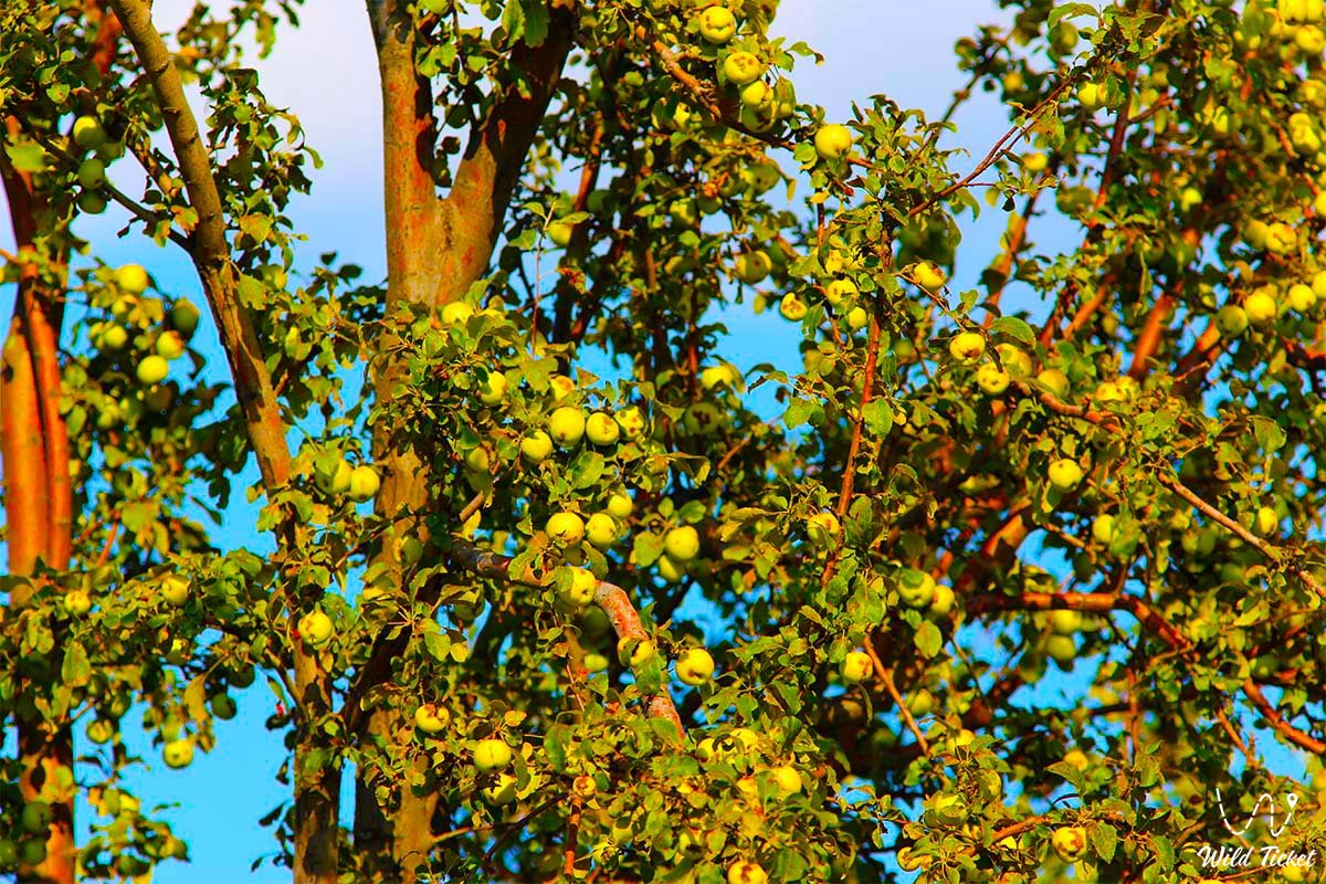
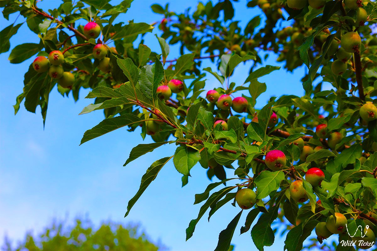
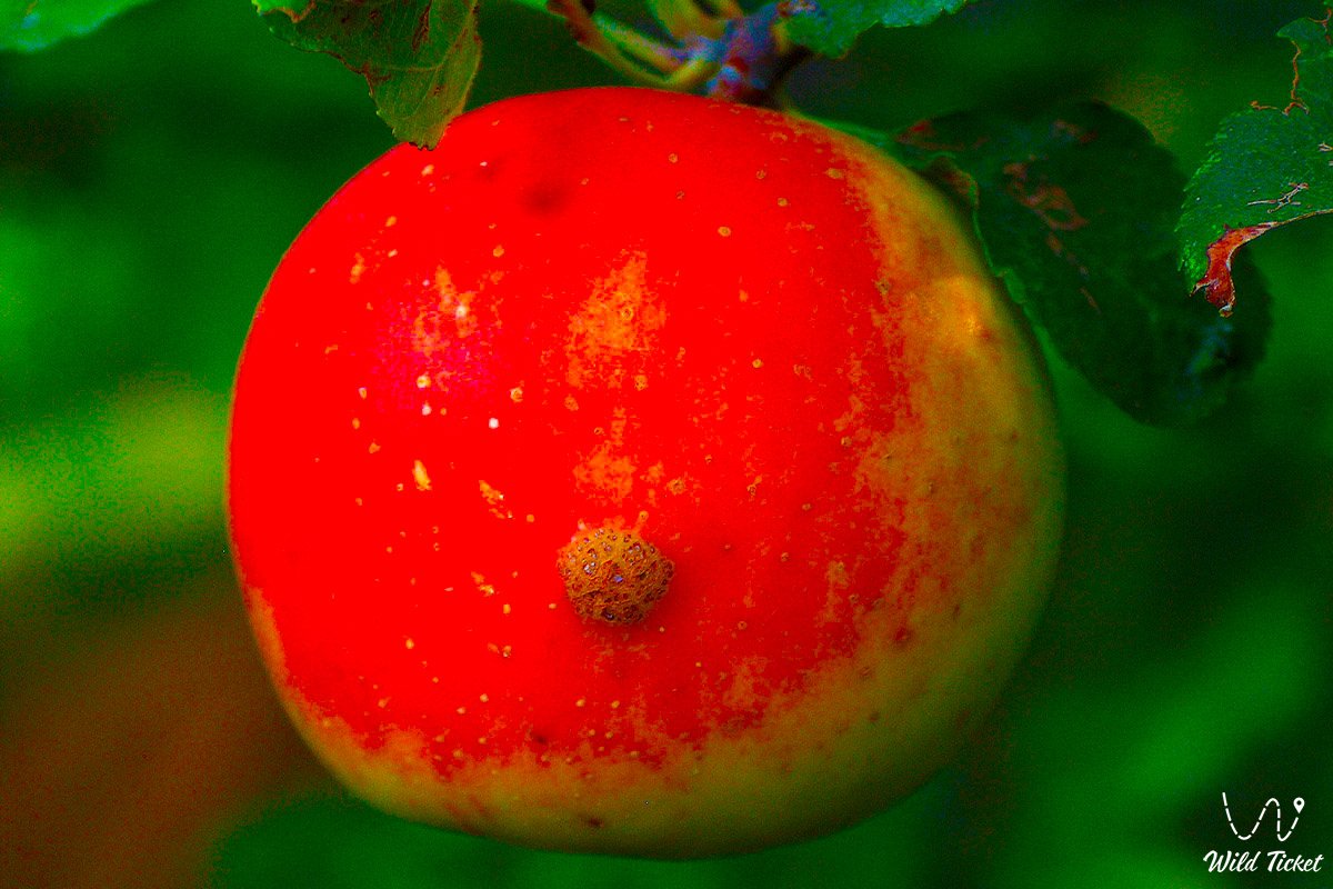
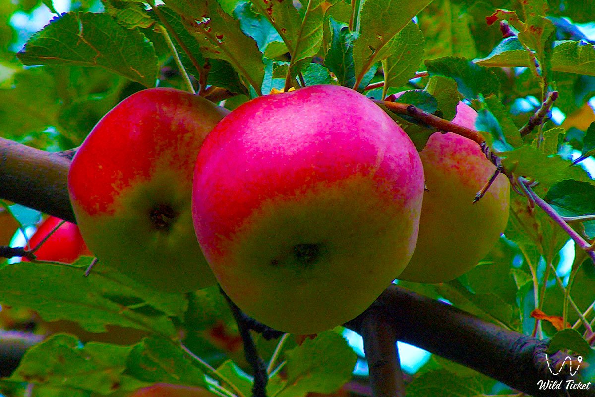
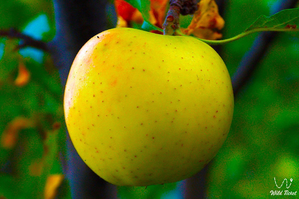
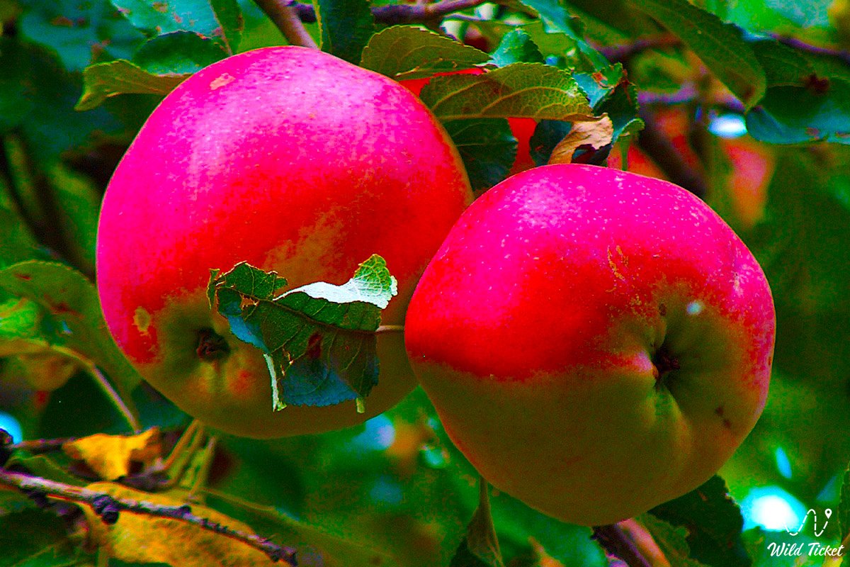
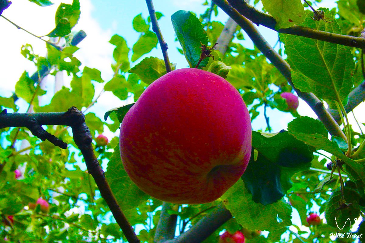
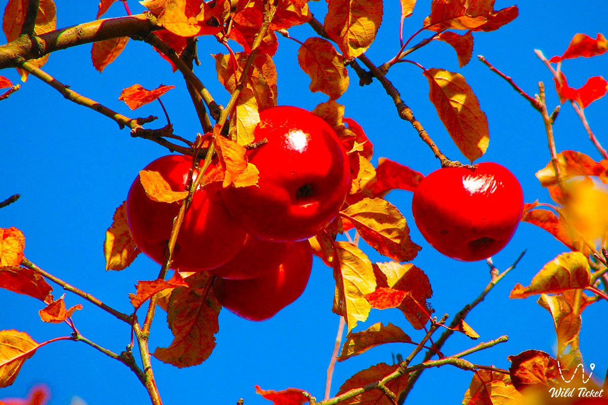
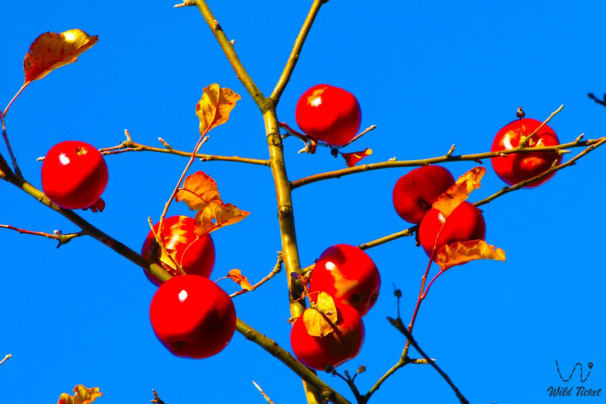
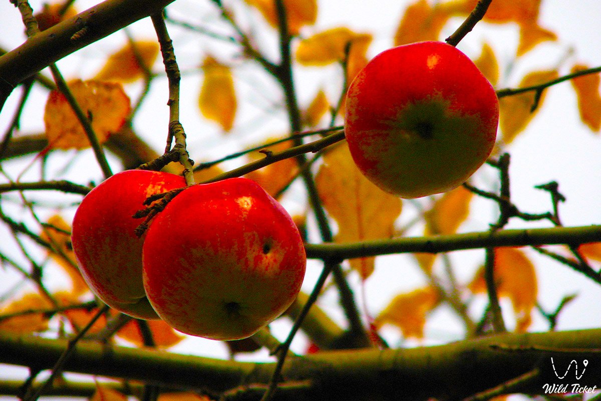
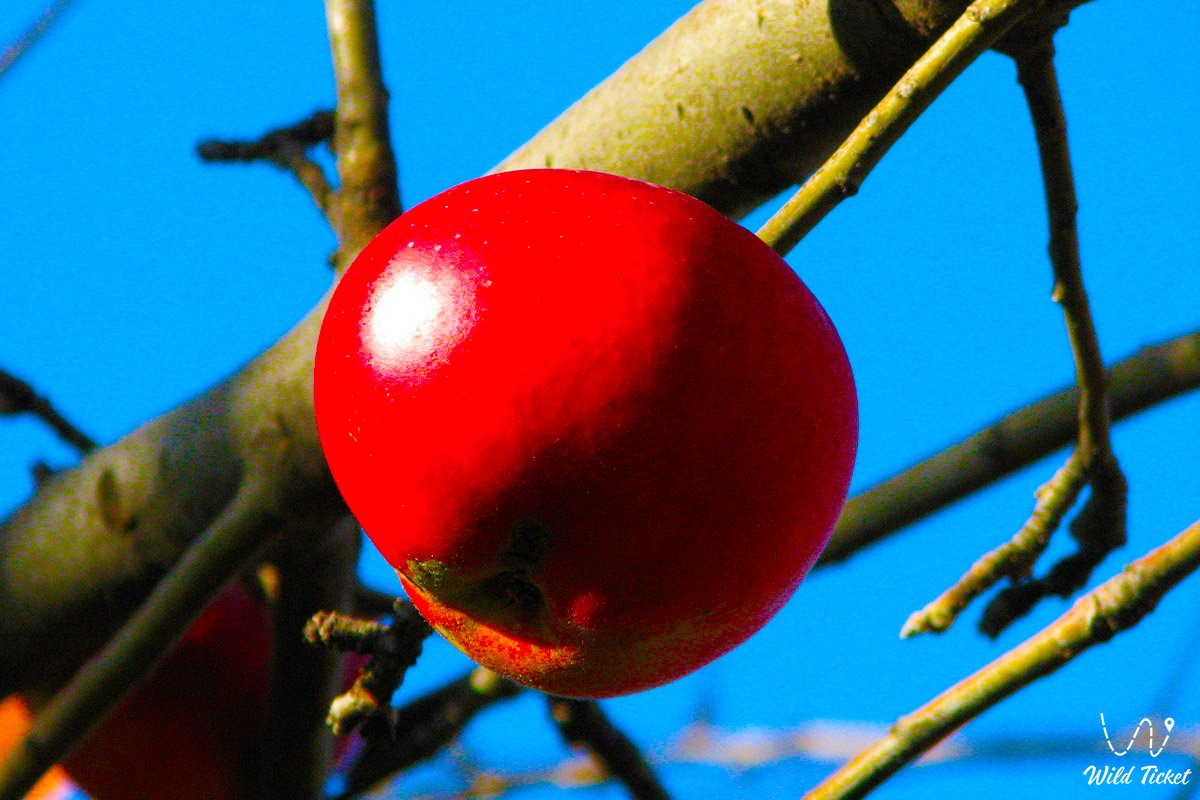
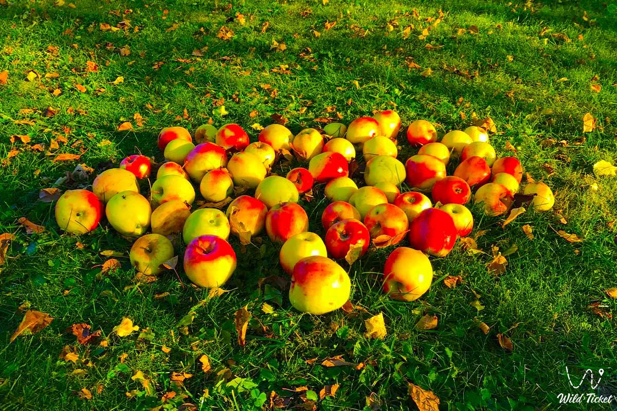
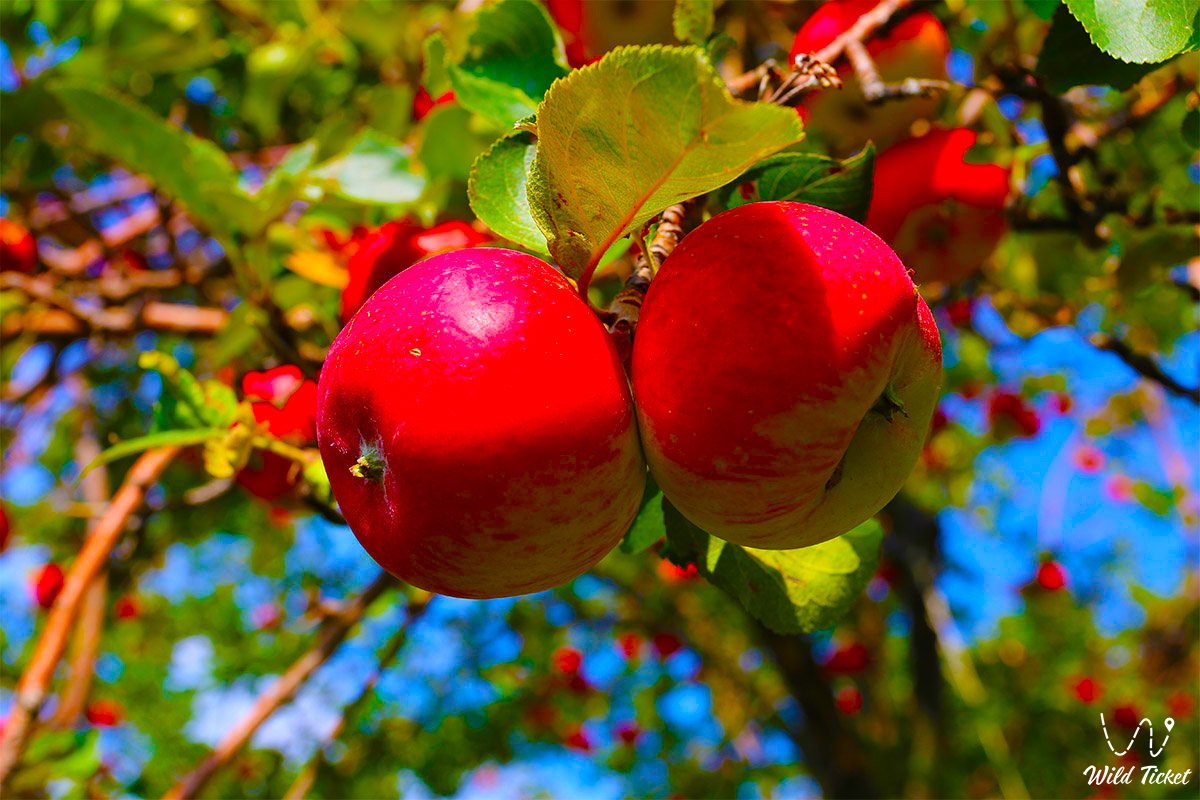
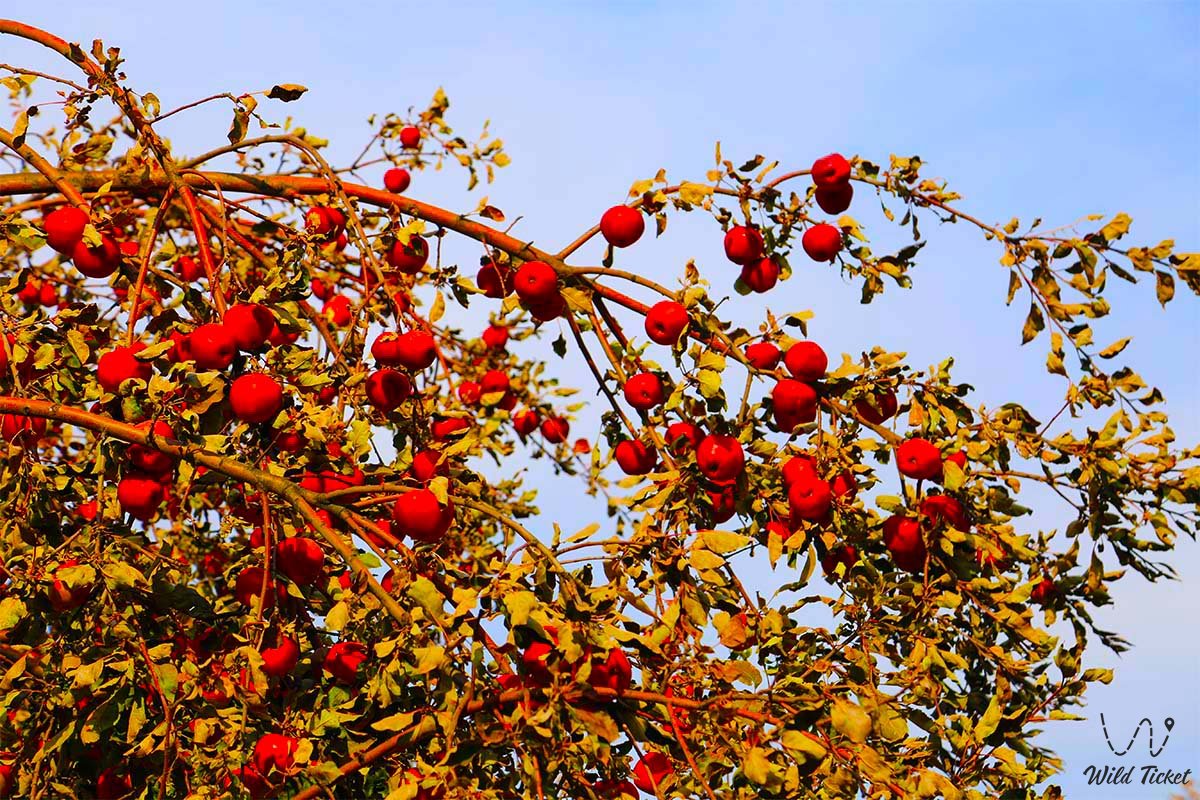
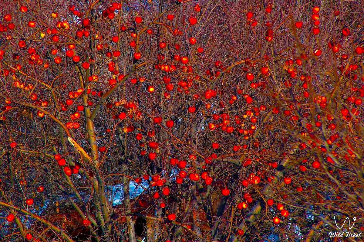
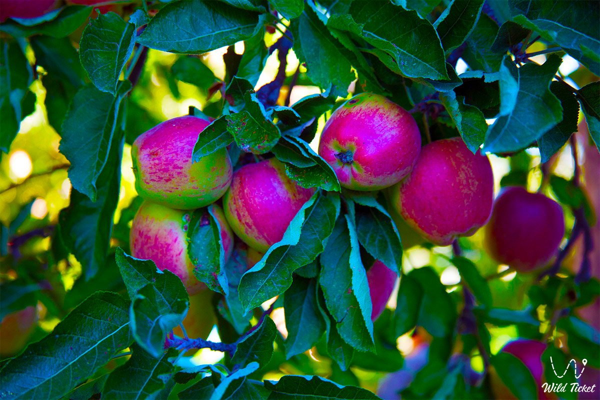
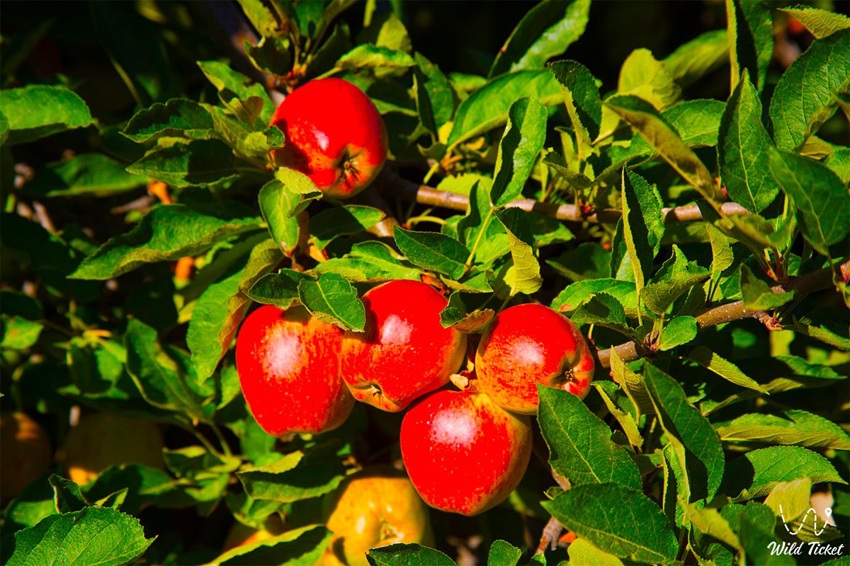
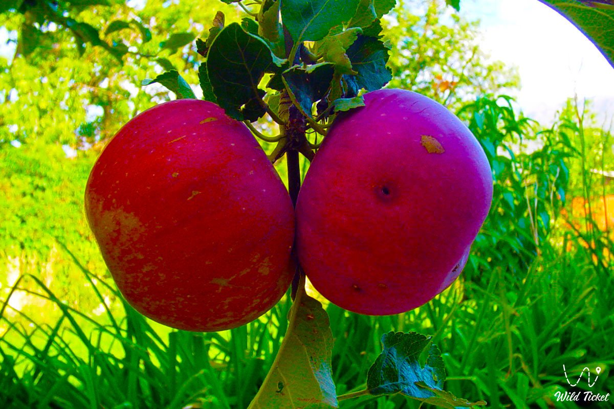
The Sivers apple tree (Malus sieversii) from the Rosaceae family, was listed in the Red Book of the Kazakh SSR in 1981. In the Dzungarian Alatau, the Sivers apple tree occupies 48.8%. About 75% of the groves of the Sivers apple tree are located on the territory of Kazakhstan, which are mainly concentrated in the Trans-Ili and Dzungarian Alatau.
On the territory of the Zhongar-Alatau Park, it occurs in the Kokzharsky, Topolevsky, Zhalanashsky, Chernovsky sections at an altitude of 1100 – 1850 meters above sea level. A walk in the neighborhood.
Transfer: Karbushka river – Zhalanash tract – Aganakty river – Lepsi village (Lepsinsk) (15 km).
We ford the Karbushka River and move along the right side of the river valleys of Aganakty and Bolshoy Zhalanash to the village of Lepsi. The village got its name after the Lepsa River, whose sources are located on the northern slope of the Dzungarian Alatau.
During the reign of the Dzungars, there was a headquarters of one of the Kalmyk khans here. With the defeat of the Khanate in 1758 by the Manchus and the Chinese, the empty lands of the Semirechye began to be inhabited by the Kirghiz and the Kaisaks of the Middle and Great Horde.
The first settlers settled here in 1855-1856, they were two hundred Siberian Cossacks from 6,7,8 and 9 regiments of the Siberian Line Cossack Army and 200 peasant families. The first batch of migrant Cossacks arrived on 06/18/1855.
The valley of the Lepsa River was chosen as the place for settlement. Arrival in the village of Lepsi, accommodation in a guest house, lunch.
Transfer: Lepsi – Lepsinsky forest nursery (2.3 km).
After lunch, visit the forest nursery of the Lepsinsky branch of the Zhongar-Alatau Park. The forest nursery is located in the southern part of the village at an altitude of 1019 meters above sea level. More than 18 species of tree species are grown in the nursery.
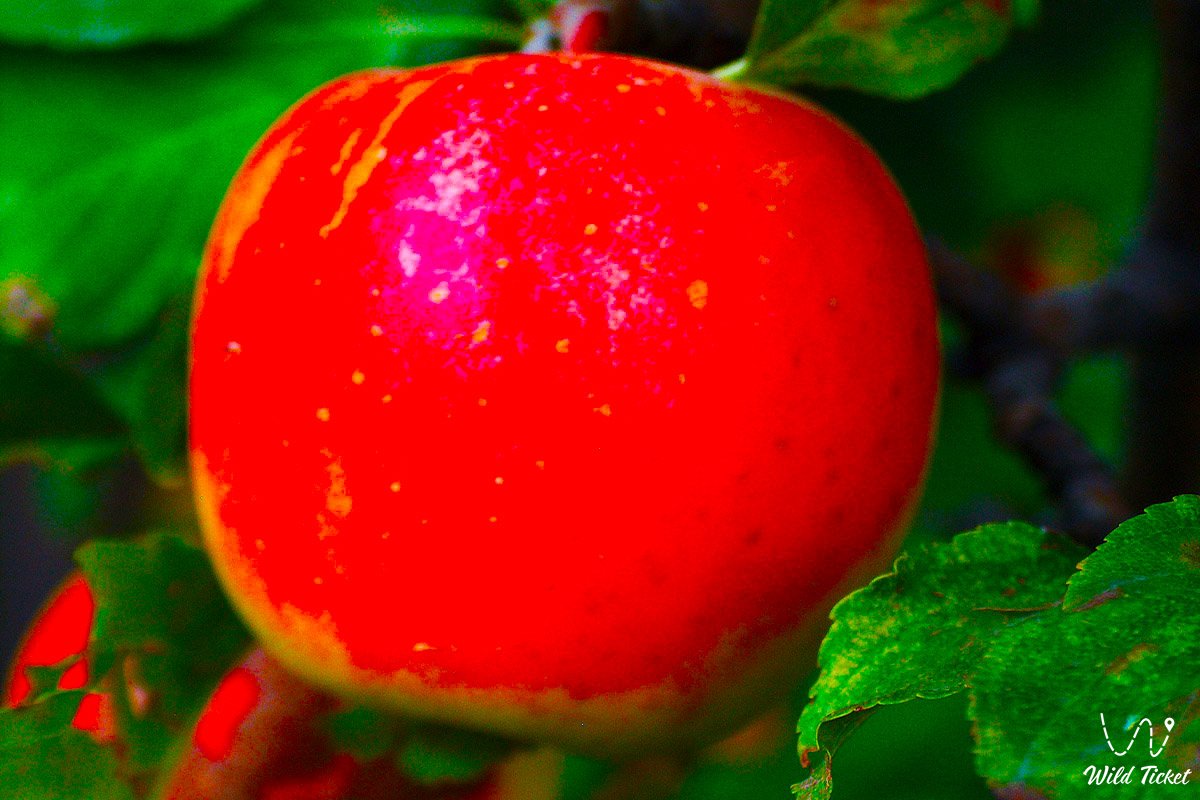
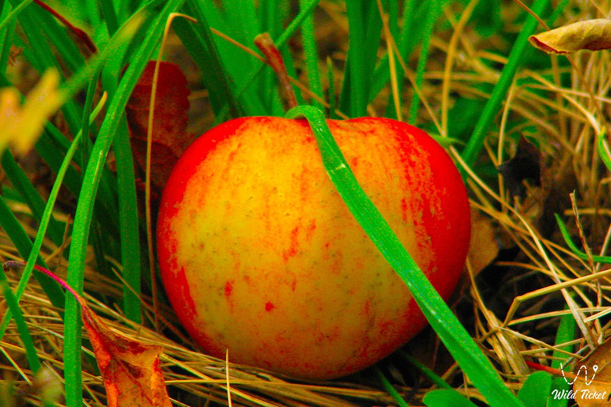
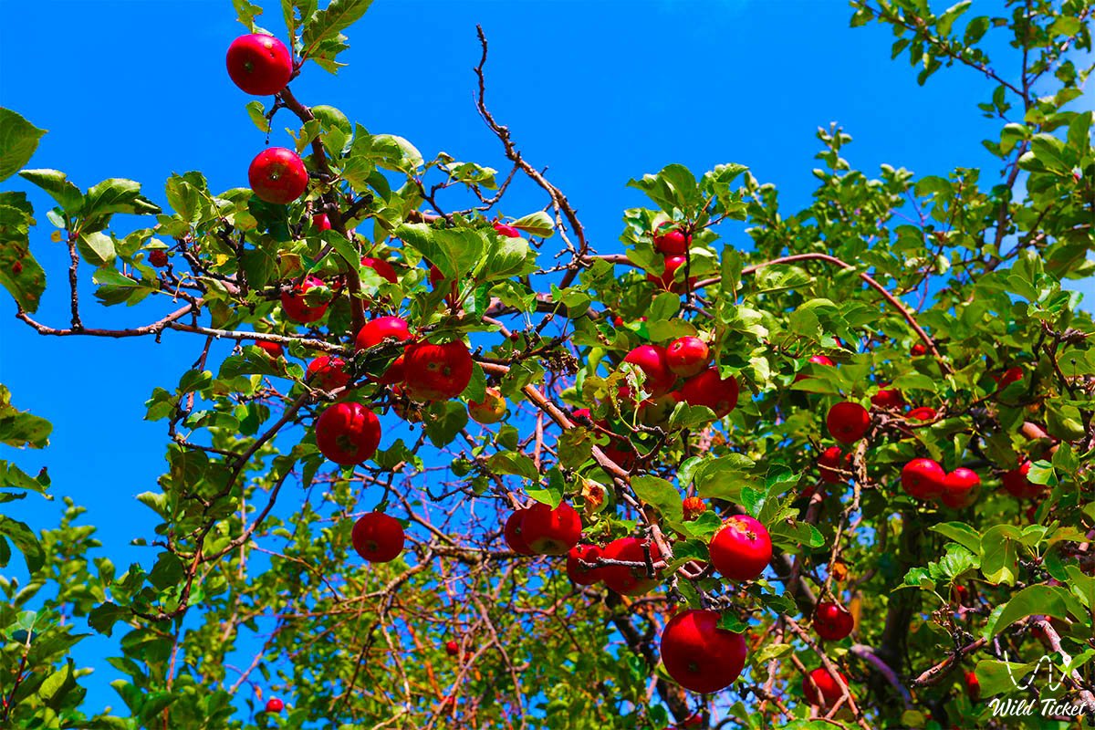
Here you can get acquainted with the technology of growing the Sievers apple tree and the main measures for sowing and caring for young plants. They are trying to preserve the Sievers apple tree, which has survived all the natural disasters since the time of the dinosaurs, and increase its number.
There are several nurseries at the Sarkand, Lepsinsky and Alakol branches of the Zhongar-Alatau Park, where Sivers apple trees are grown. The end of the tour.
Transfer: Lepsinsky forest nursery – Chernaya Rechka cordon (12 km).
We leave the village first, along the left bank of the Piketny Stream, and gradually the country road turns to the southeast. Along the way, we pass two small lakes overgrown with reeds, and in autumn these lakes almost dry up.
Soon the road leads us to the Chernaya Rechka cordon, which is located at an altitude of 1221 meters above sea level on the left bank of the Chernaya Rechka River. The cordon and its buildings are located among apple trees, one of them is an old Sievers apple tree growing in the fence of the cordon.
On the east side, the cordon is surrounded by an acacia hedge. The formalities of passing the security checkpoint.
Transfer: The Black River cordon – Chernovskoye tract (Rodmir Vishnyakov's apiary) (4 km).
The road from the cordon leads us to a ford across the Chernaya Rechka River. The road is narrow and rarely visited by cars, replete with steep ascents and descents, the roadsides are overgrown with raspberries and other bushes that completely blocked the road. Soon we are at the apiary, which is located in a picturesque, open place.
Walking tour: long–lived Sievers apple tree apiary (1.5 + 1.5 = 3 km).
From the apiary, the ascent begins to the southeast along the old trail, which passes among tall grass and bushes: Semenov's birch bark (Euonymus semenovii), Tatar honeysuckle (Lonicera tatarica), barberry, Bykov, multi-legged (Berberis sphaerocarpa), laxative joster, laxative bush (Rhamnus cathartica), blue blackberry, common (Rubus caesius, R. idaeus). The companions of the Sievers apple tree are two types of trees: the Songara hawthorn (Crataegus songarica) and the common apricot (Armeniaca vulgaris).
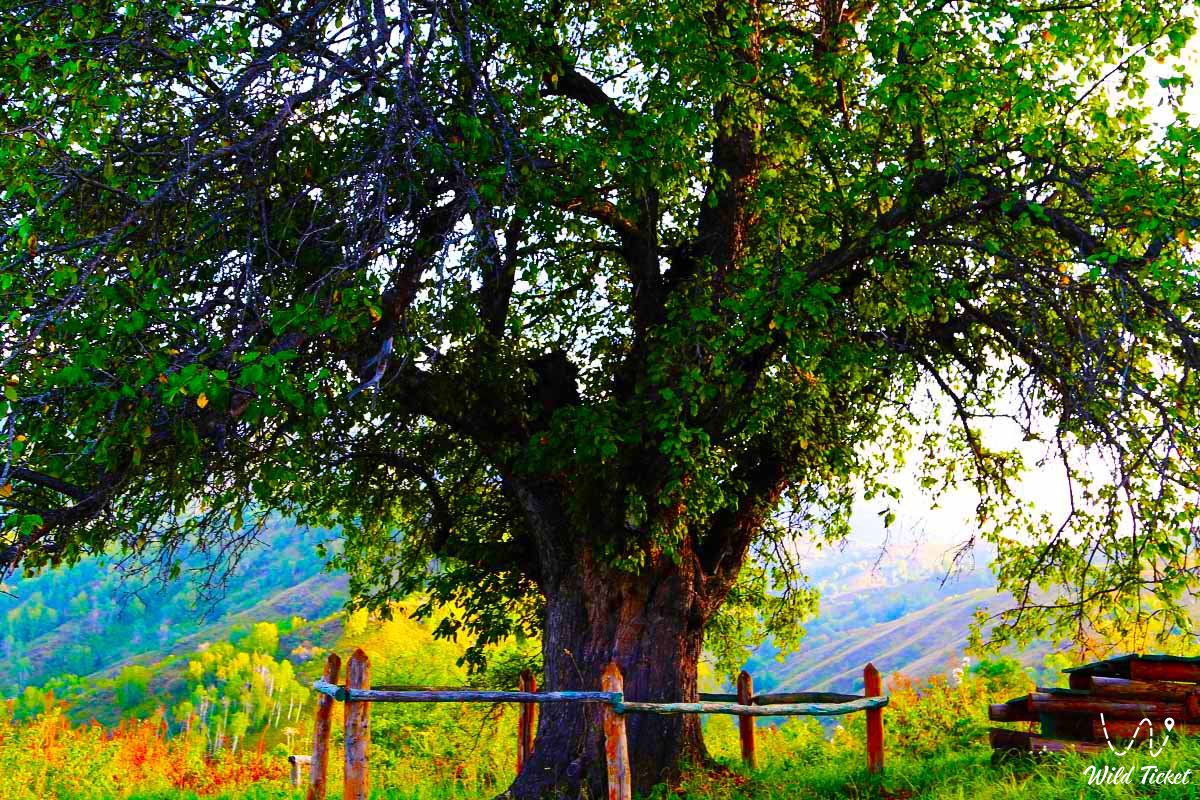
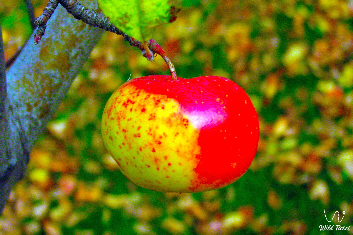
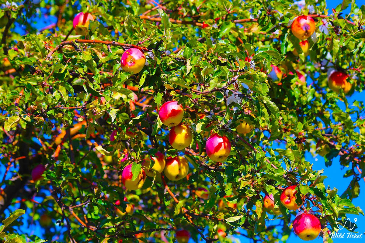
Soon we reach the site of the long-lived Sievers apple tree. The apple tree is located at an altitude of 1,458 meters above sea level. From here you can observe a beautiful panorama of the Lepsa River, thickets of apple trees, picturesque views of the mountains.
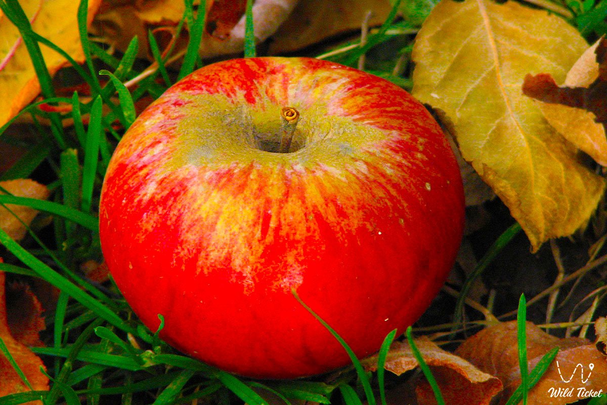
According to DNA studies, it has been proven that the Sievers apple tree is the ancestor of most cultivated apple varieties. This long-lived Sievers apple tree grows the only one in the region on the northern slope of the Dzungarian Alatau range, between the Vankova Mane range in the west and the Zhunzhuru Mountains in the east.
The apple tree reaches a height of 18 meters, the trunk diameter at the base is 1.8 meters, and the crown diameter is 15 meters. According to a special technique developed by specialists of the Lepsinsky branch of the Zhongar-Alatau Park, the age of the Siver apple tree was determined (as an exception), it was 300 years old. A walk in the surroundings, exploring the ancient Sievers apple tree.
Return to Lepsi, end of the tour (17.5 km). Arrival in Lepsi, accommodation in a guest house, dinner, overnight.
Breakfast. Transfer: Lepsi – Kabanbai village – Koylyk village – Sarqand village – Zhansugurov village – Taldykorgan city (284 km). Lunch at a local cafe.
Transfer: Taldykorgan – Konayev city – Almaty (263 km). Arrival in Almaty, hotel accommodation, dinner, overnight.
Departure to the airport, departure from Almaty.
1. In the village of Lepsi, accommodation is provided in a private, rural house, which does not have a bathroom – toilet and shower. The village toilet is located in the courtyard of the house. If desired, you can prepare a Russian sauna with hot and cold water.
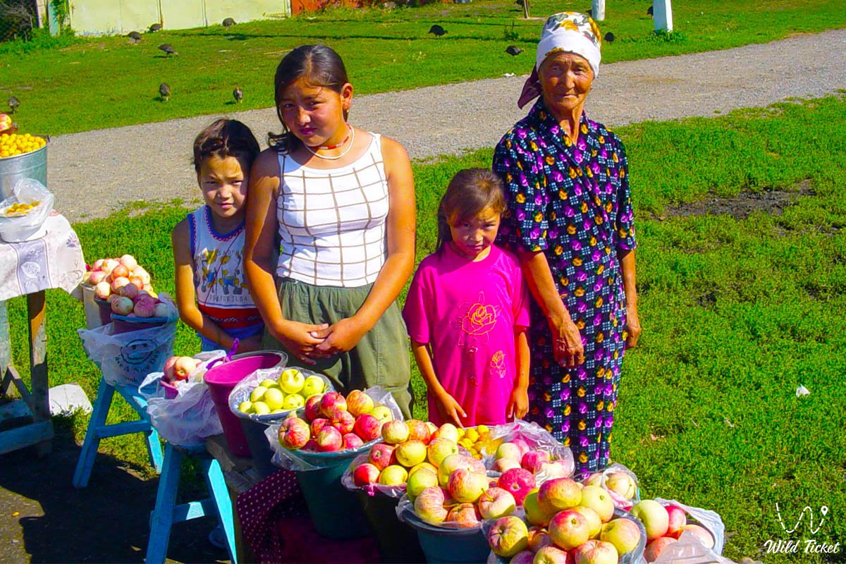
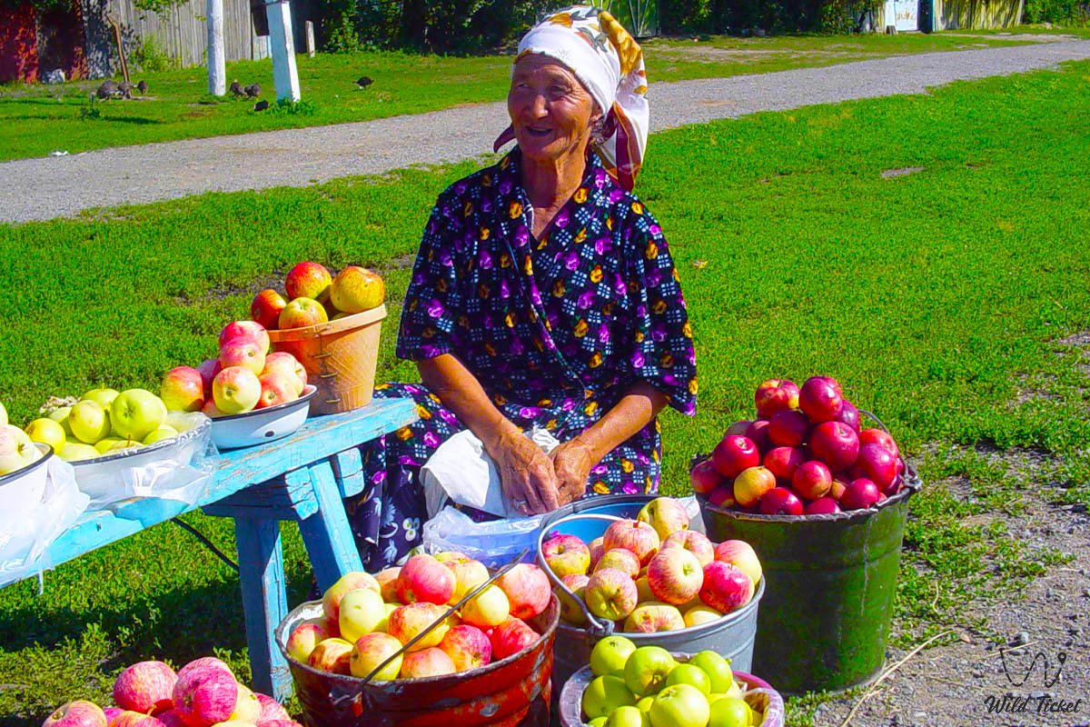
2. There are no cafes and restaurants in the village. Meals (lunch and dinner on the first day, and breakfast on the second day) will be served in a private house prepared by the family. During your stay, you can get to know the family customs and household traditions of a modern Kazakh family more closely, or it can also be a family of another nationality.
3. Part of the route runs along the Sark–Topolevka highway. Along the way, you can see stone and granite slabs on the Terekty River – a place of rest and bathing for the local population, rock carvings of Bayanbai, the Auliye Tas tract with picturesque and relief granite remains.
Route length: 50 km.
Duration of the trip: 1 day.
The distance of the active part of the tour: 8-10 km.
Lepsi village -
Lake Zhasylkol (8 km).
Transfer: Lepsi village – Zhalanash cordon – Martynov apiary – Zhasylkol cordon (25 km).
Arrival at the Jasylkol cordon, the beginning of the walk to Lake Jasylkol.
Walking tour: Zhasylkol cordon – Zhasylkol Lake (4 km).
At first, we climb from the cordon along the Aganakty River, then, gradually, the path moves away from the river and begins climbing the ancient moraine, which blocked the riverbed and formed a lake.
The flowing, fresh lake Zhasylkol is located at an altitude of 1,630.5 meters above sea level, located on the northern slope of the Dzungarian Alatau range in the valley of the Aganakty River. The largest length of Lake Zhasylkol from the northern to the southern shore is 1.9 kilometers, the largest width of the lake in the southern part of the lake is 525 meters.
In the northern part, the largest width of the lake reaches 632 meters. The area of the lake is 0.95 square kilometers, the length of the coastline reaches 5.2 kilometers. The delta of the Aganakty River in the southern part of the lake is 312 meters.
Flowing through the lake, in the southwestern part, the river overcomes huge rocks in the riverbed and forms a cascade of waterfalls outside the lake. A walk in the vicinity of the lake. Lunch on the lake shore.
Return to the Jasylkol cordon (4 km).
Transfer: Zhasylkol cordon – Zhalanash cordon – Lepsi village (25 km).
Arrival in Lepsi, the end of the walk.
Length of the tour route: 74 km.
Duration of the tour: 1 day.
Lepsi village – kurgan Uygentas (37 km).
Transfer: Lepsi village – Koktobe pass (9 km).
We leave the village of Lepsi to the north, cross the bridge over the Lepsy River and immediately turn east, passing the rural racetrack, which remains on our left. We drive 7 kilometers from the bridge over the Lepsy River and the ascent into the mountains gradually begins.
Our way lies to the Koktobe Pass, 1,797.5 meters above sea level, which divides the Zhanjurek Mountains into western and eastern parts. The Zhanzhurek Mountains are the northern spur of the Dzungarian Alatau range, which stretch in a latitudinal direction for 13 kilometers.
The eastern border of the mountains is the Tentek River, from the south the mountains are bordered by the right bank of the Lepsa River, in the west the mountains gently descend into the valley of the Lepsa River. The highest point of the mountains is the Koktobe peak, 1814.4 meters above sea level, which rises 500 meters southeast of the Koktobe Pass.
There is a radio translator on the pass, which provides communications and television to the villages of Lepsinsk and Zhanzhurek. Stop at the pass. The pass offers a picturesque panorama of the northern slope of the Dzungarian Alatau range and its surroundings. A short walk in the vicinity of the pass.
Transfer: Koktobe pass – Tentek River – Uygentas kurgan (28 km).
Our path lies to the east, we move among the hills, cross the sources of a Steep river, which is a left tributary of the Lepsa, and gradually descend into the valley of the Tentek River. Before descending to the Tentek River, Mount Zhunzhuru rises 1,733 meters above sea level in the south.
The road leads us to the left bank of the Tentek, from here we turn at an acute angle and head south, passing the ford over the small river Rybny Klyuch, which flows into the Tentek from the left. After 1.5 kilometers, we cross the bridge over the Tentek River to the right side and after 600 meters we reach the Uygentas mound.
The Uigen-Tas oval stone mound is located at an altitude of 1,374 meters above sea level, located between the Tentek and Ipili rivers. Here, 250 meters south of the Uigen-Tas mound, there are L-shaped ruins with sunken earth walls, which consisted of five rooms with separate entrances measuring 20 x 10 meters.
140 meters northwest of the mound is another completely identical L-shaped structure. The dimensions of the Uigen-Tas mound are 6 meters high, the length of the mound from south to north is 65 meters, the width from west to east is 74 meters, the area of the mound is 3778.78 square meters, the perimeter of the mound reaches 221 meters.
Apparently, the mound is a funerary burial. On the right-bank terrace of the Tentek River, in the vicinity of the burial mound, there are about ten small burials. In the southern part of the mound there is a reinforced concrete structure without inscriptions.
Judging by the sunken, sunken central part, the mound was looted in ancient times. Modern excavations and surveys have not been conducted by archaeologists. The kurgan is associated with the well-known legend of Tamerlane, who marched here with an army.
The terrible lord ordered each of his warriors to put a stone in a pile. Returning, each warrior also took one boulder from the pile. The remaining and recalculated stones gave the number of dead in the battles.
A very similar San-Tash mound, somewhat smaller in size and made of the same oval stones, is located in the Tyupsky district of the Issyk-Kul region in the southeastern part of the Kungei Alatau range. Kazakh explorer and traveler Chokan Valikhanov visited the San-Tash mound in May 1856. A walk in the vicinity of the kurgan. Lunch on the bank of the Tentek River.
Return to the village of Lepsi (37 km).
Arrival in the village of Lepsi, the end of the trip.