Geographical and sacred heart of the peninsula and an open-air museum of nature –
The Mangystau District (Kaz. Mangystau audany) represents the central, largest in area, and most richly endowed with natural and historical landmarks administrative district of the Mangystau region in the Republic of Kazakhstan. Sprawling across an area of more than 47 thousand square kilometers in the very heart of the Mangyshlak Peninsula and across the adjoining scarps of the Ustyurt Plateau, the district stands as the true geographical, cultural, and spiritual core of the entire region.
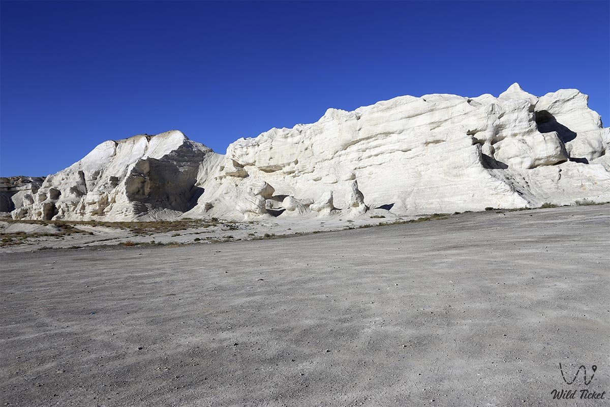
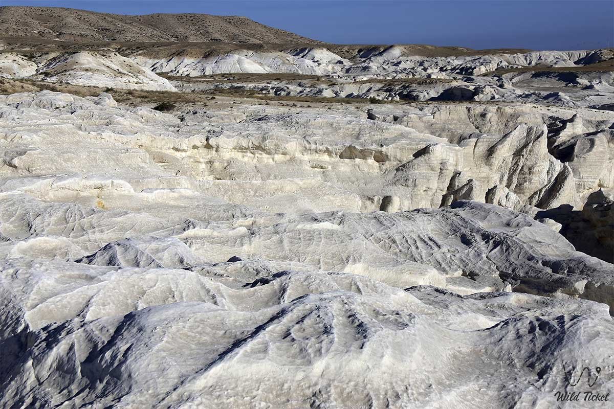
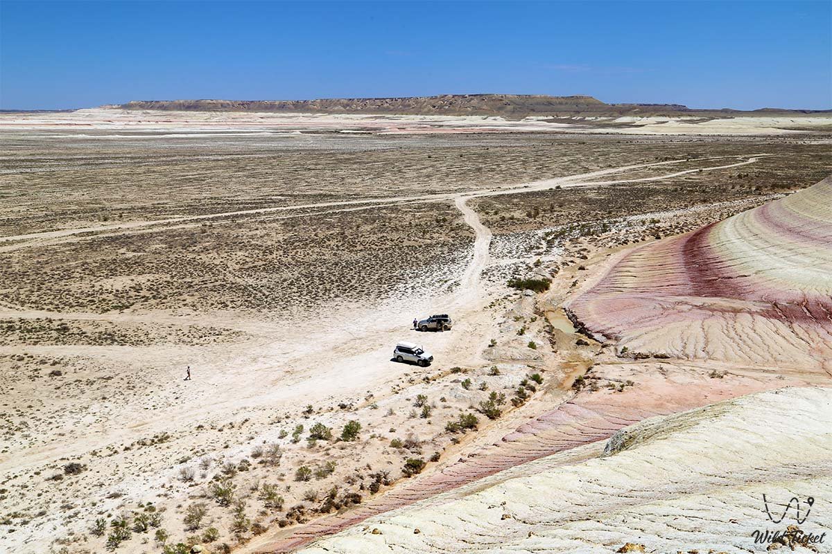
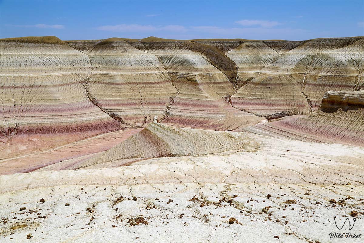
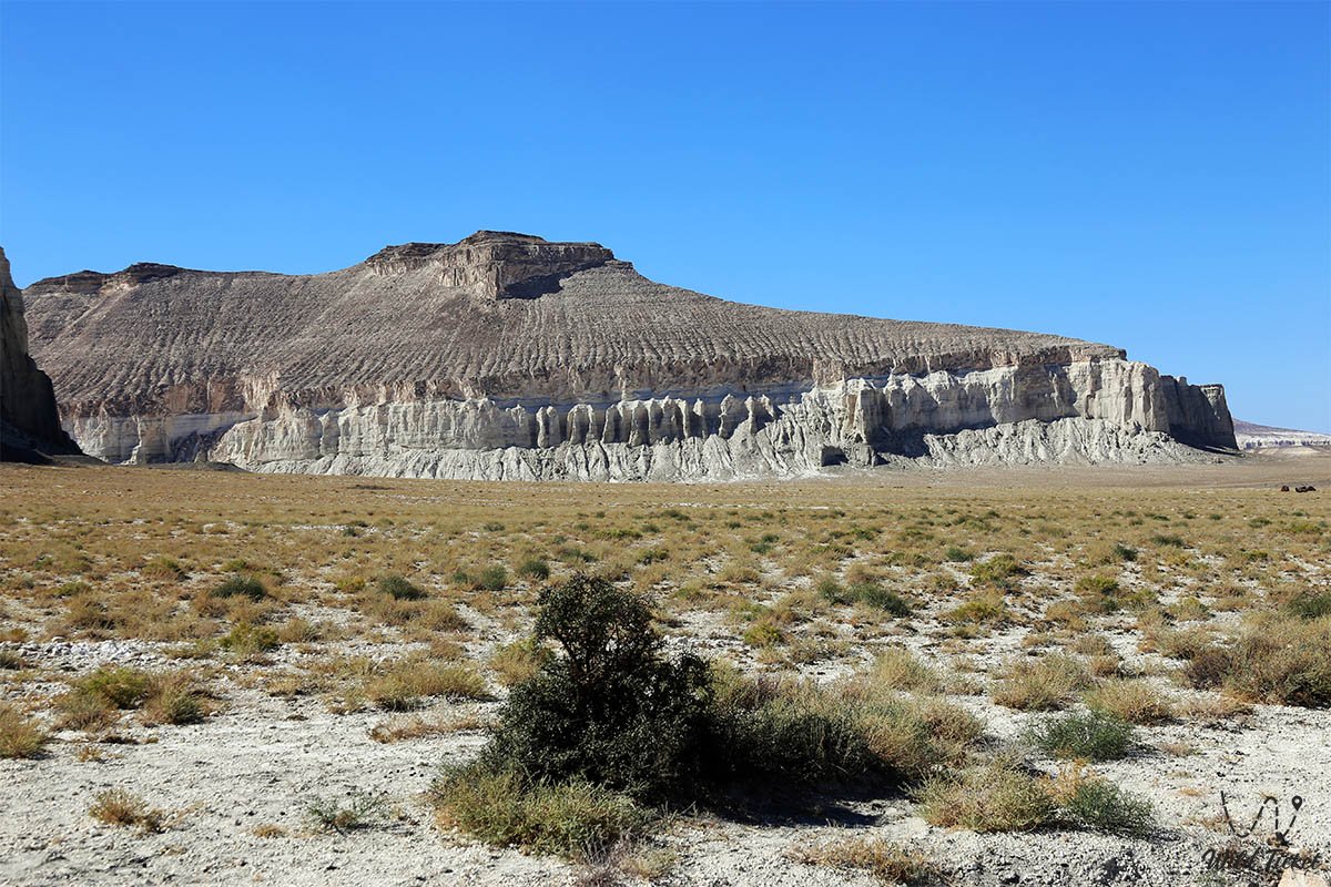
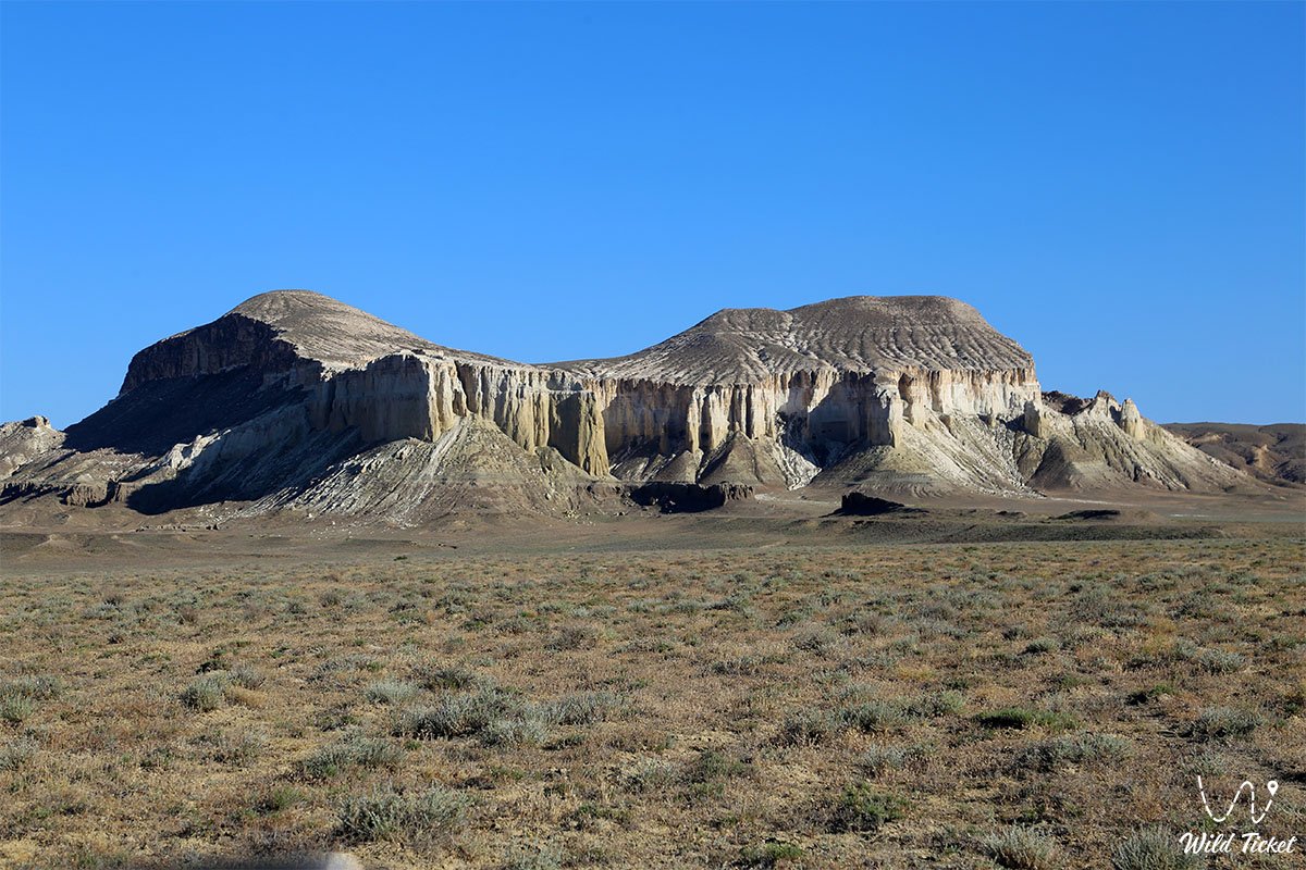
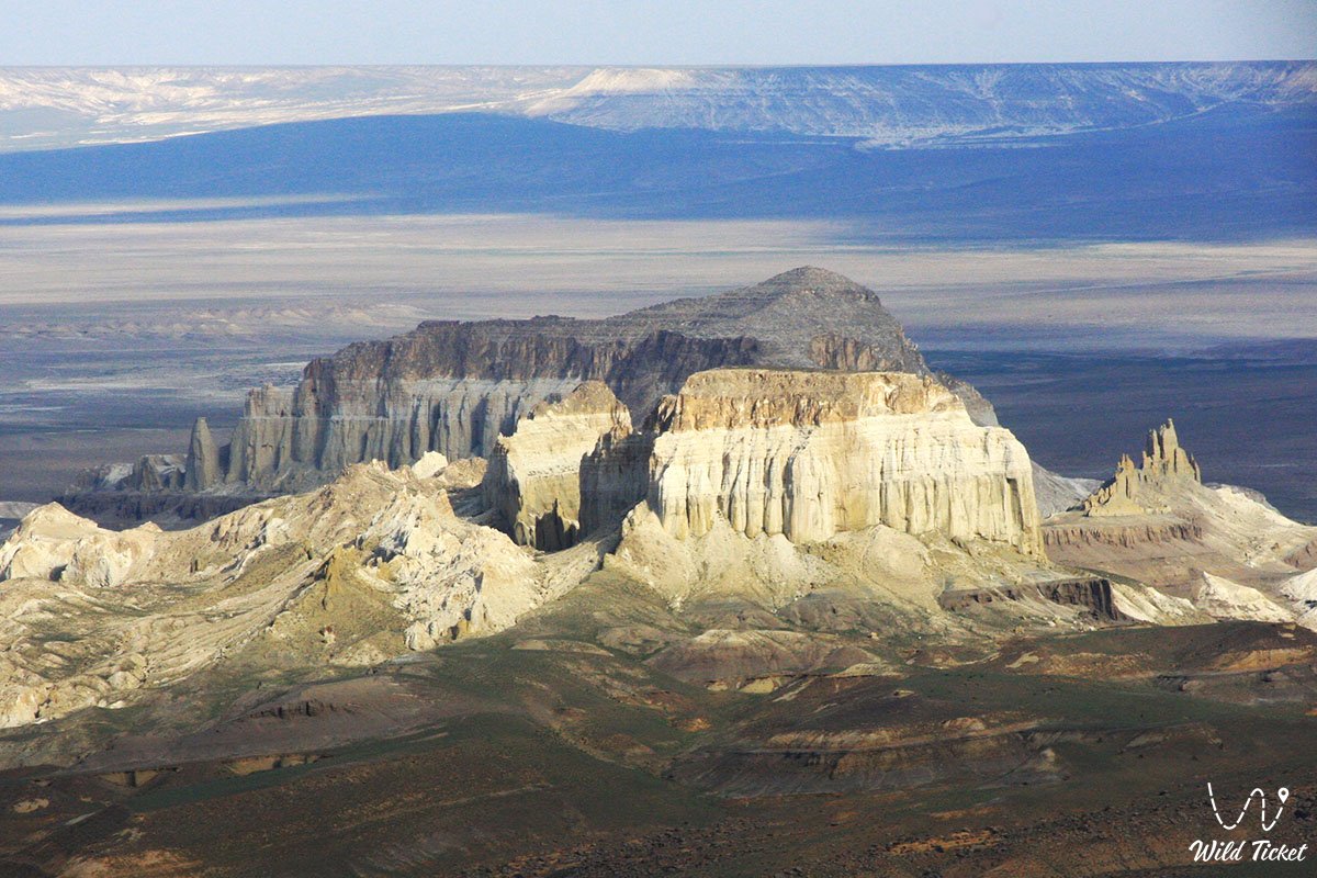
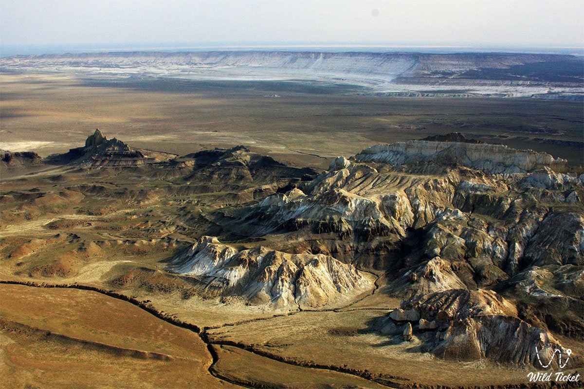
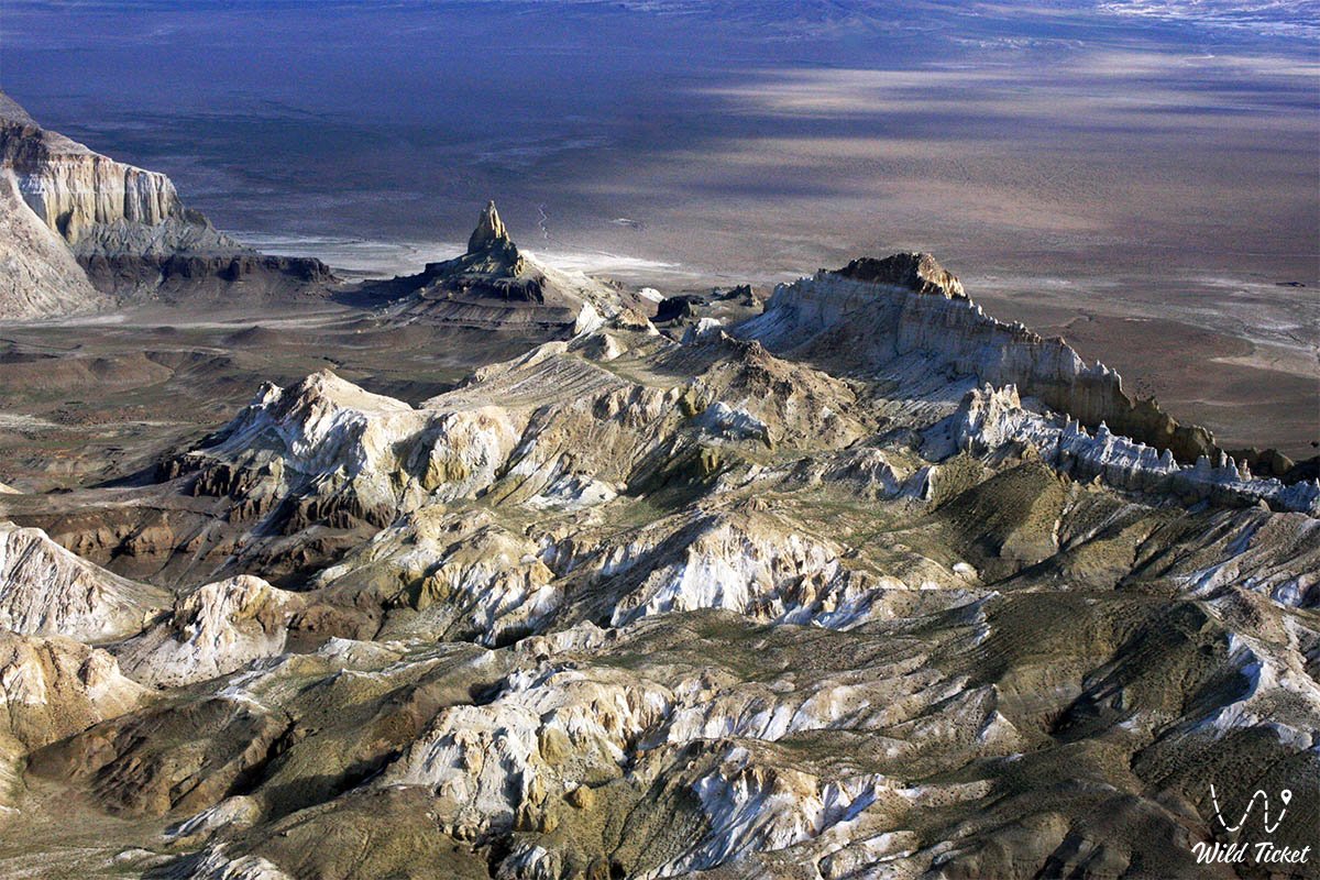
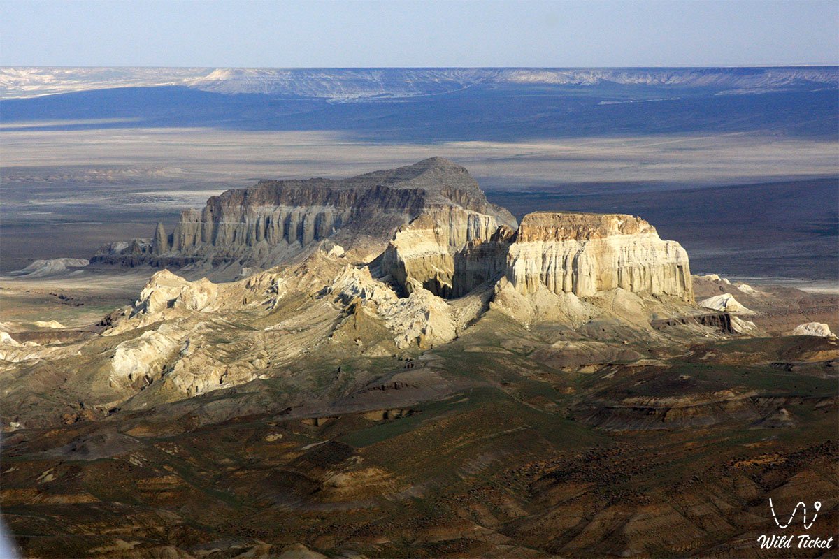
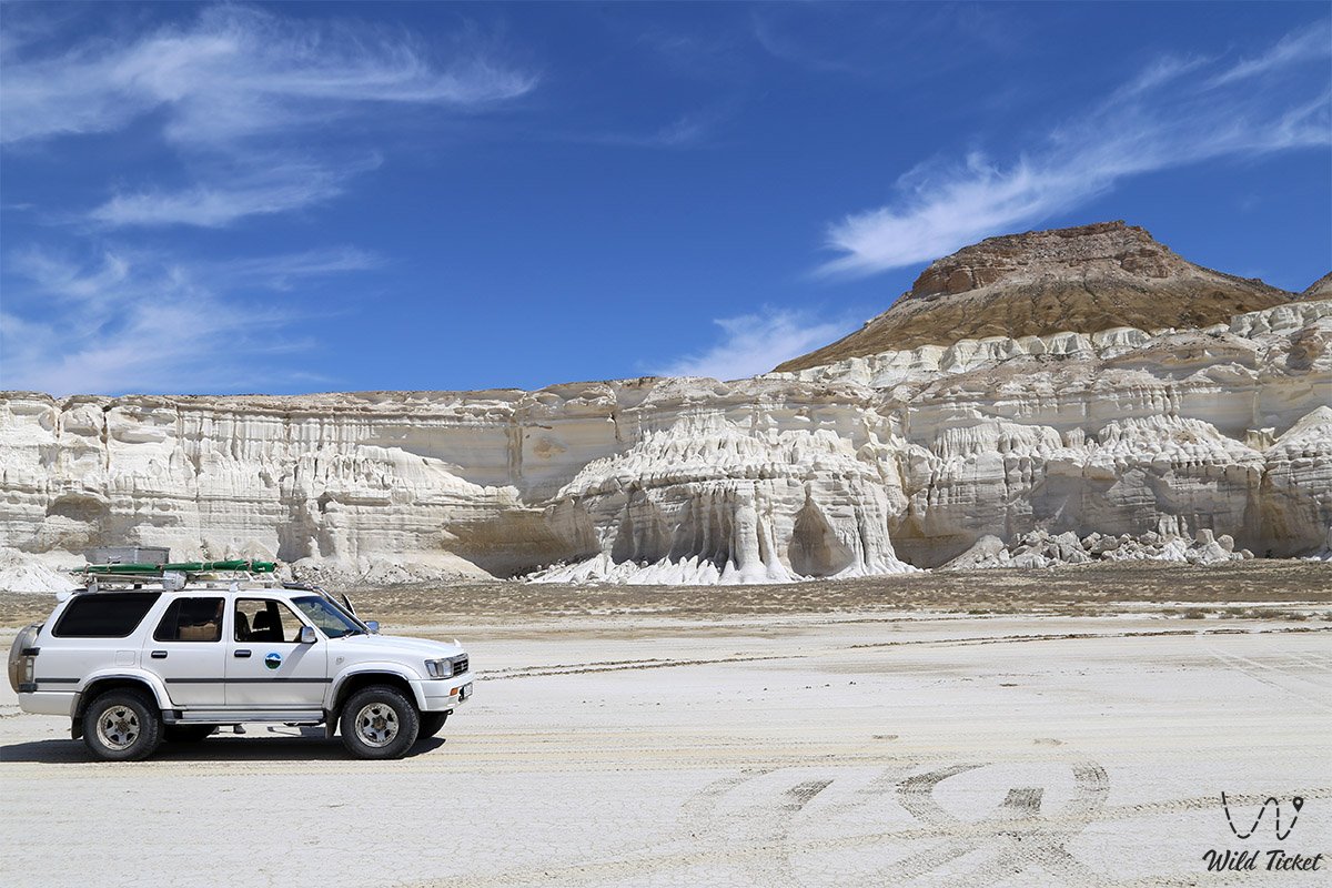
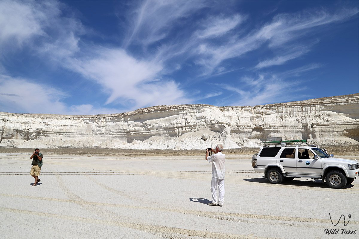
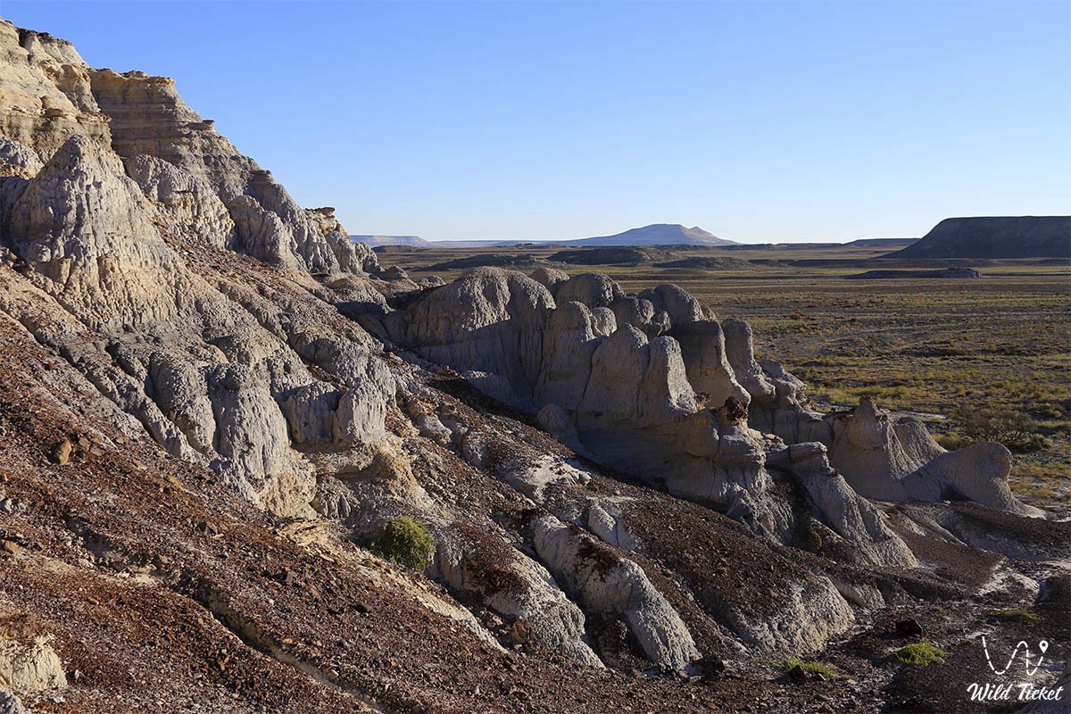
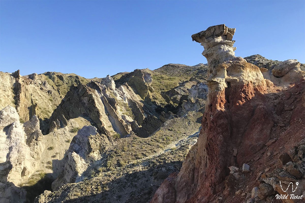
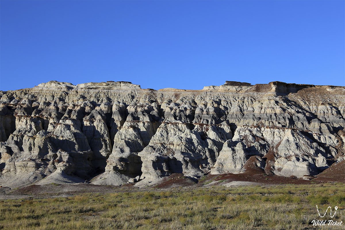
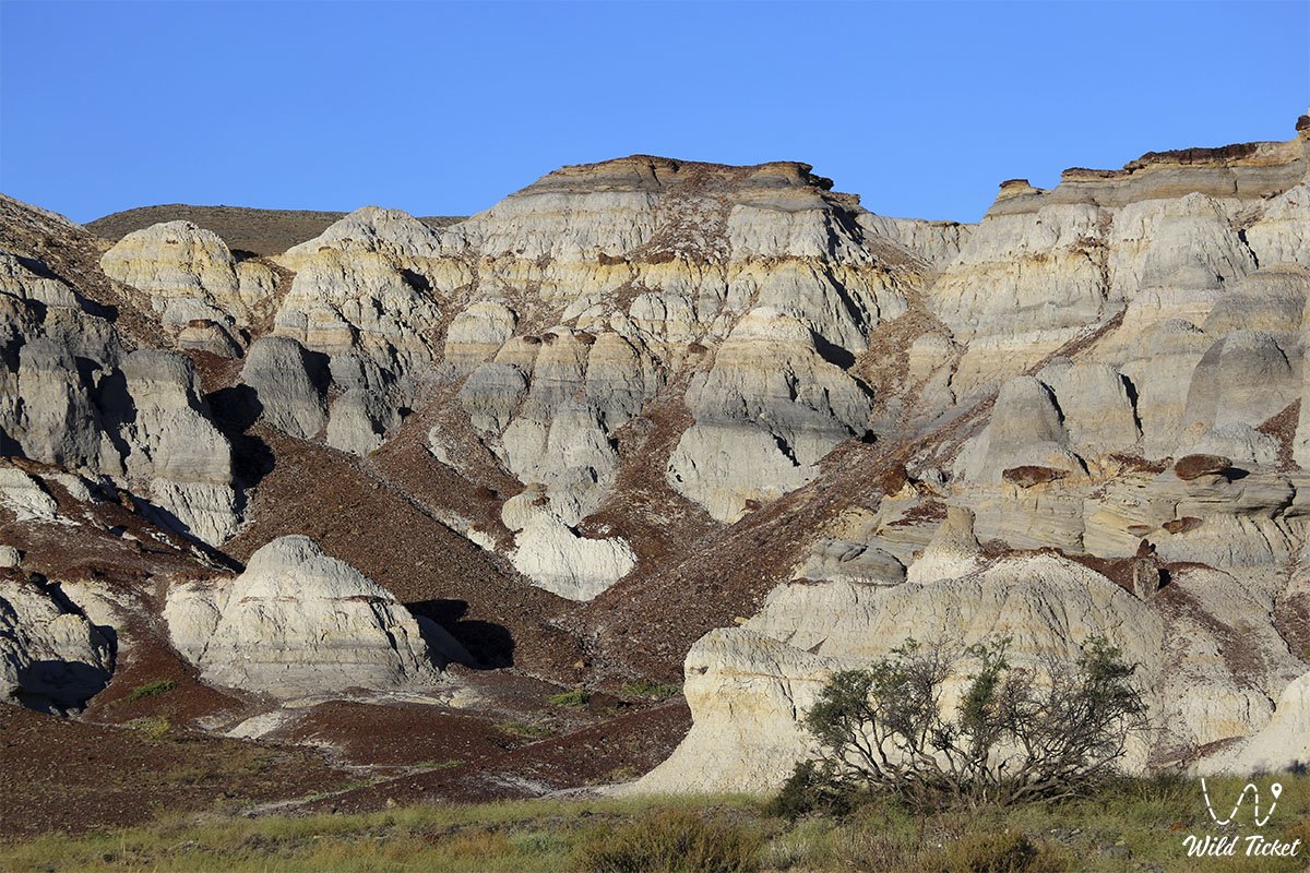
This entire grandiose territory is a direct geological legacy of the prehistoric Tethys Ocean, which surged here tens of millions of years ago: receding ancient waters laid bare colossal strata of white writing chalk, marls, variegated Jurassic clays, and coquina limestones, sculpted by winds into whimsical mountain ranges and canyons.
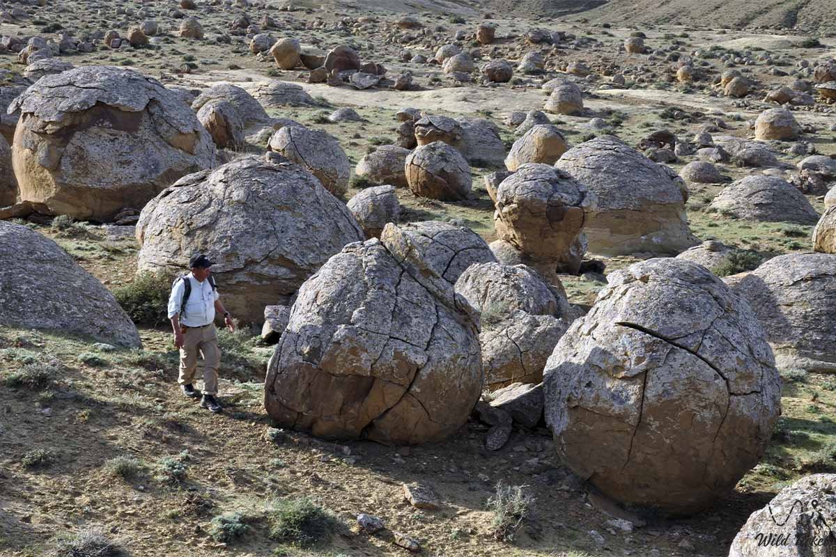
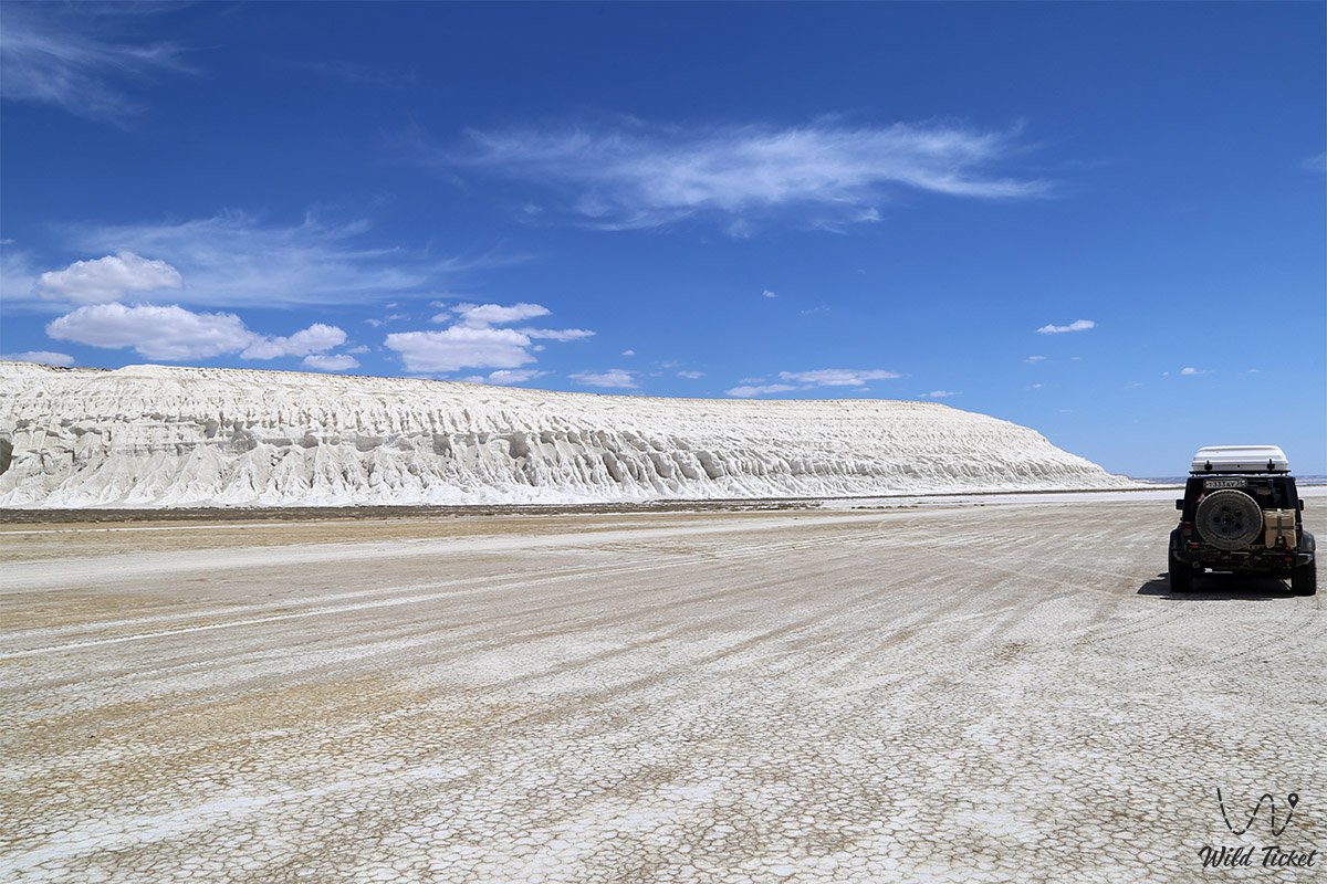
The district serves as the primary crossroads for all tourist and pilgrimage itineraries of Western Kazakhstan: concentrated here are world-renowned natural icons such as the solitary sacred residual mountain Sherkala ("Lion's Fortress"), the mysterious spherical concretion valley of Torysh, the fantastical Valley of Castles Airakty – Shomanay, the stratified colored clays of the Kokkala canyon, the shaded spring groves of Samal Gorge and the Akmysh Say oasis, alongside the dazzling white scarps of the Ustyurt chink with the famed Tuzbair salt flat.
Historically, the Mangystau District is the cradle and citadel of the nomadic Aday clan, a land of martial valor of steppe batyrs, and the focus of the ancient Sufi tradition of the "360 Saints of Mangyshlak." Proudly crowning the highest elevation of Western Karatau is the Otpan-Tau Memorial Complex with the flame of unity of Aday-Ata, while the foothills and mountain passes shelter supreme sanctuaries of the steppe – the Karaman-Ata underground mosque, the ancient pantheon of batyrs at the Sisem-Ata Necropolis, the Man-Ata sanctuary-mausoleum on the Manata pass, and the ruins of the medieval Silk Road commercial town of Kyzylkala.
The administrative center of the district is the settlement of Shetpe – a key transportation hub, a railway station on the Aktau – Beyneu line, and the main expedition base for most off-road journeys across Mangystau.
Today, the Mangystau District is recognized as a pivotal center of ecological, pilgrimage, geomorphological, and ethnographic tourism in Kazakhstan, drawing researchers and overland travelers from across the globe with the primeval beauty of its Martian landscapes and the depth of centuries-old traditions.
--------------------------------------------
How to get there and visit –
The Mangystau District occupies expansive territories in the central and eastern sections of the Mangystau region, bordering to the north and west on the Tupkaragan District and bays of the Caspian Sea, to the south on the Karakiyan and Munaily districts, and to the east and northeast on the Beyneu District and the chinks of Ustyurt. The administrative center of the district – the settlement of Shetpe – is situated roughly 100 km northeast of the regional center, the city of Aktau, in a straight line and 110–120 km along the highway.
GPS geographical coordinates of the district center (settlement of Shetpe):
44°08'01"N 52°09'02"E
The primary transportation artery of the district is the paved A-33 highway of republican significance Aktau – Shetpe – Beyneu – Dossor. The road is maintained in excellent condition, allowing a comfortable drive from Aktau to Shetpe in 1.5–2 hours in any passenger car, scheduled bus, or shared taxi. Running parallel to the motorway is the main railway line, connecting the Shetpe station via regular passenger trains with Aktau, Atyrau, Aktobe, Almaty, and Astana.
From the settlement of Shetpe, regional paved highways lead north and northwest: Shetpe – Shayyr and Shetpe – Tauchik, connecting the district with the Tupkaragan Peninsula. Most of the primary landmarks (Sherkala, Akmysh, Samal, Airakty, Torysh, Tuzbair) are located within a 15–40 km radius of Shetpe.
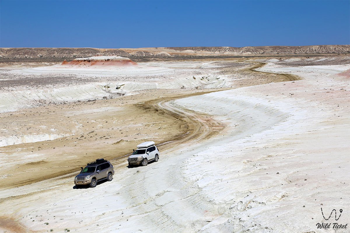
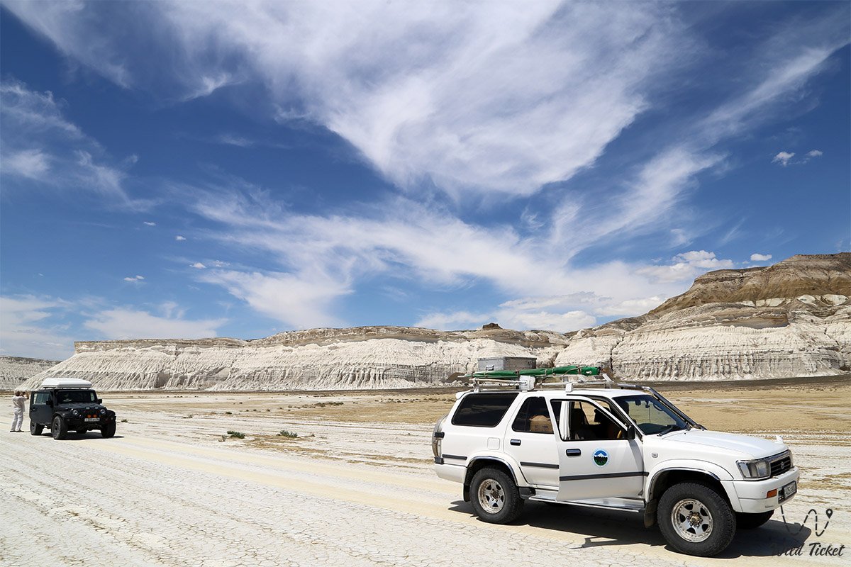
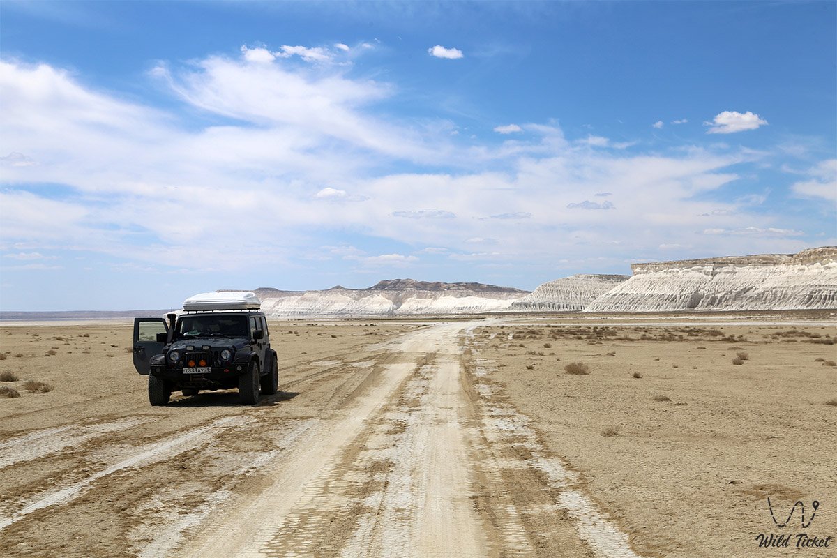
In dry weather, access to the foot of Sherkala, into the Akmysh grove, and to the entrance of Samal Gorge is feasible in a standard passenger car or crossover. However, negotiating clay salt-flat hollows after rain, traversing stony passes of the Karatau range, traveling over sands, and executing a full circular route toward the Tuzbair salt flat, the Sisem-Ata Necropolis, or the Kokkala clays strictly requires a dependable body-on-frame 4x4 vehicle with high ground clearance and all-terrain tires (AT/MT).
District infrastructure is most developed in the settlement of Shetpe: operational here are modern gas stations (including brand-name networks), vehicle service stations, tire repair shops, hotels, ATMs, supermarkets, local cafes, and the railway terminal. Situated near Mount Sherkala and the Akmysh tract is the year-round Kogez tourist ethno-village, offering authentic lodging in equipped, air-conditioned Kazakh yurts, alongside a restaurant, swimming pool, and showers. Across other remote corners of the district, infrastructure is entirely absent; therefore, long autonomous trips necessitate a reserve of drinking water (at least 4–5 liters per person per day), extra fuel, and a fully functional spare wheel.
When visiting sacred monuments of the district (necropolises, mazars, and underground mosques), strict adherence to an ethical dress code is required: modest, concealing clothing (shoulders and knees covered), and women must wear a headscarf. Noise, smoking, and the consumption of alcohol are strictly prohibited on sanctuary grounds.
The best time to travel across the district is spring (from mid-April to late May), when the semi-desert awakens, fields of wild Sogdian tulips and herbs burst into bloom, and the air is pleasant, as well as early autumn (September – October) with its comfortable, mild temperatures. In July and August, midday heat inside the intermontane basins climbs above +40...+45 °C, while gale-force winds and blizzards rage across the open plateaus during winter.
--------------------------------------------
History
The history of the Mangystau District is a chronicle of the continuous succession of ancient Eurasian nomadic civilizations, the flourishing of transcontinental caravan routes, and the heroic struggle of steppe peoples for independence. The territory was settled by humans as early as the Paleolithic and Neolithic epochs: within the ravines of Karatau and along the scarps of Northern Aktau, archaeologists have uncovered numerous flint tool workshops, hunter camps, and kurgan complexes of the Early Iron Age Saka-Massagetae period.
During the Middle Ages (10th–13th centuries), the northern branch of the Great Silk Road (the Khiva route) wound through the intermontane valleys of the present-day Mangystau District, linking the cities of Khwarazm, Khiva, and Bukhara with Caspian ports and the lower reaches of the Volga River. At the base of Mount Sherkala, the Khwarazmshahs constructed the formidable fortified trade and craft city of Kyzylkala, complete with 13 towers, a rabad, and caravanserais. Endless caravans passed through the district's passes bearing Chinese silk, Indian spices, Iranian ceramics, and Baltic amber. In the 13th century, following the campaigns of Genghis Khan's Mongol armies, the land became part of the Ulus of Jochi (the Golden Horde).
From the 14th to the 16th centuries, the land of Mangystau became a sphere of spiritual ministry for Sufi teachers. According to tradition, it was within these mountains and caves that holy auliye lived and preached, spreading the light of Islam, compassion, and literacy among Oghuz-Turkmen and Kazakh clans. Unique rock-cut cave mosques were hewn from the cliffs, around which monumental clan necropolises expanded.
In the 18th century, the Kazakh Aday clan, led by legendary batyrs, firmly established its presence across these lands. The Mangystau District became the primary stronghold of the Aday people: atop Mount Otpan, the sacred beacon fire was lit, alerting the steppe to the approach of enemies and summoning the militia to defend their ancestral pastures. The Sisem-Ata Necropolis took shape here as a national pantheon where the greatest batyrs, biys, and folk heroes were laid to rest.
In 1851, the notable Karatau military-scientific expedition led by Lieutenant A. I. Antipov conducted surveys across the district. Exiled Ukrainian poet Taras Shevchenko and Polish artist Bronisław Zaleski took part in the journey, documenting Mount Sherkala, the Akmysh oasis, and the Airakty crags in sketches and watercolors, introducing the "Valley of Castles" to the wider world.
In 1870, the district became the epicenter of the famous Adayev Uprising against the colonial administrative reforms of the tsarist administration, led by Dosan Tazhiuly and Isa Tlenbayuly. Insurgents held defensive positions within the impregnable gorges of Karatau, demonstrating the steadfast courage of the steppe spirit.
As an official administrative-territorial unit, the Mangystau District was established in 1928 within the Adayev Okrug of the Kazakh ASSR (over various decades the district seat was located in the villages of Tauchik and Shayyr, before being permanently established in the settlement of Shetpe in 1966). During Soviet years, the district developed as a prominent center for karakul sheep breeding, livestock farming, and the quarrying of building stone (coquina limestone and crushed rock). In the era of independent Kazakhstan, the district acquired the status of the premier tourism, historical, and cultural center of the region.
Information
Geomorphologically, the territory of the Mangystau District is distinguished by a mountain-basin and chink relief unique within lowland Kazakhstan. The landscape is divided into several well-defined orographic zones:
1. Karatau Mountain Massif (Mangyshlak Upland) – stretches across the entire central portion of the district from northwest to southeast for 130 km, divided into Western Karatau (highest point – Mount Otpan, 533 m), Eastern Karatau (Mount Besshoky, 556 m), and the Karatauchik massif.
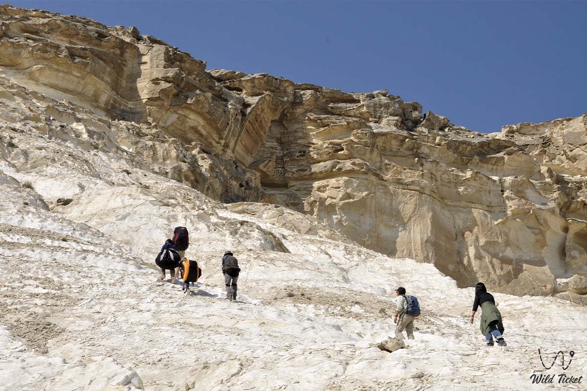
2. Ridge of Northern Aktau and Western Aktau – parallel limestone-chalk ridges with sheer white cliffs (reaching 300–350 m).
3. Intermontane erosional basins – deep depressions between the ranges containing the Torysh valley, the basin of Mount Sherkala, and the Valley of Castles Airakty.
4. Paleontological cross-section near Mount Sherkala – a paleontological excursion around Sherkala turns sightseeing into an engaging scientific inquiry. Holding the tooth of a shark that swam here tens of millions of years ago, one truly appreciates the epic scale of this ancient fossilized sea bottom.
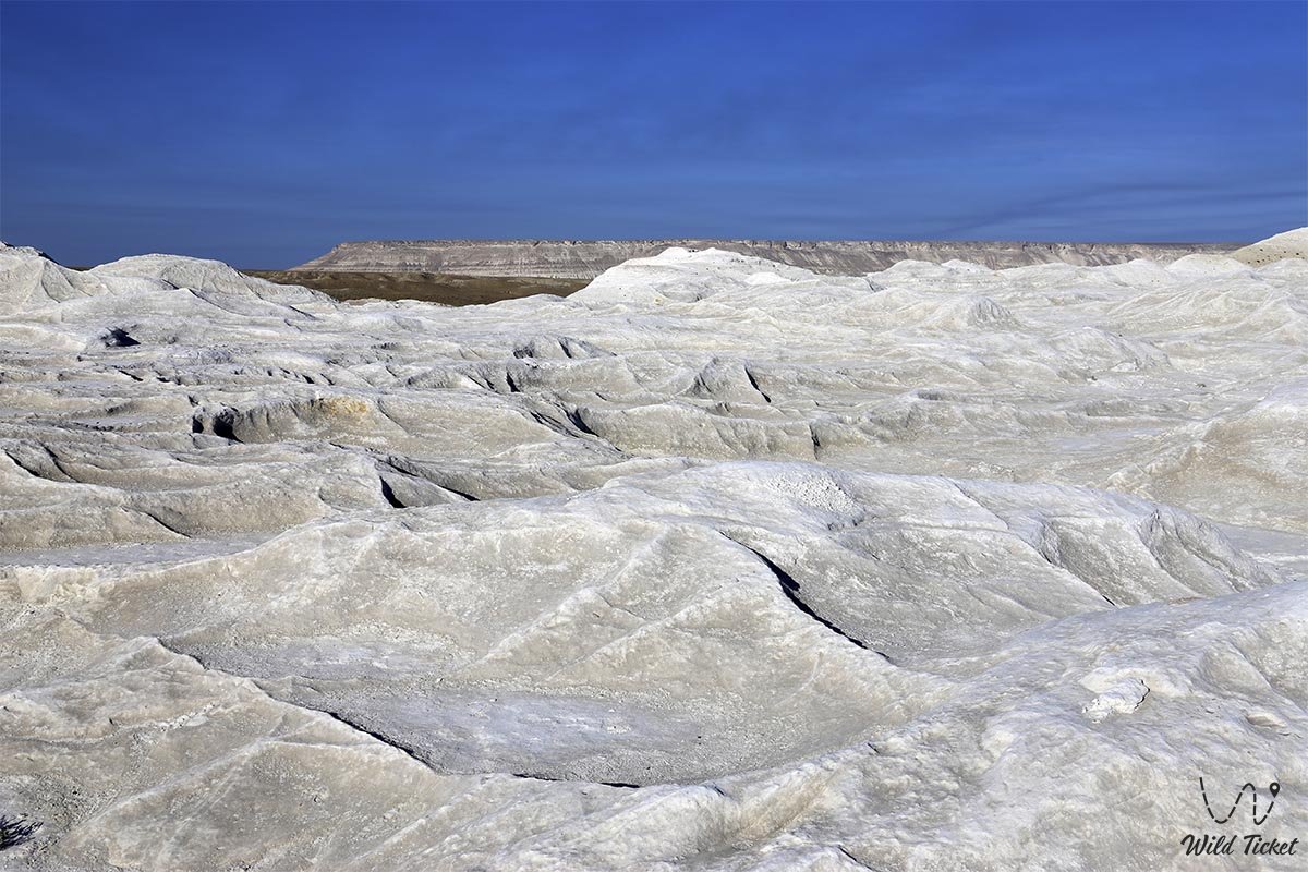
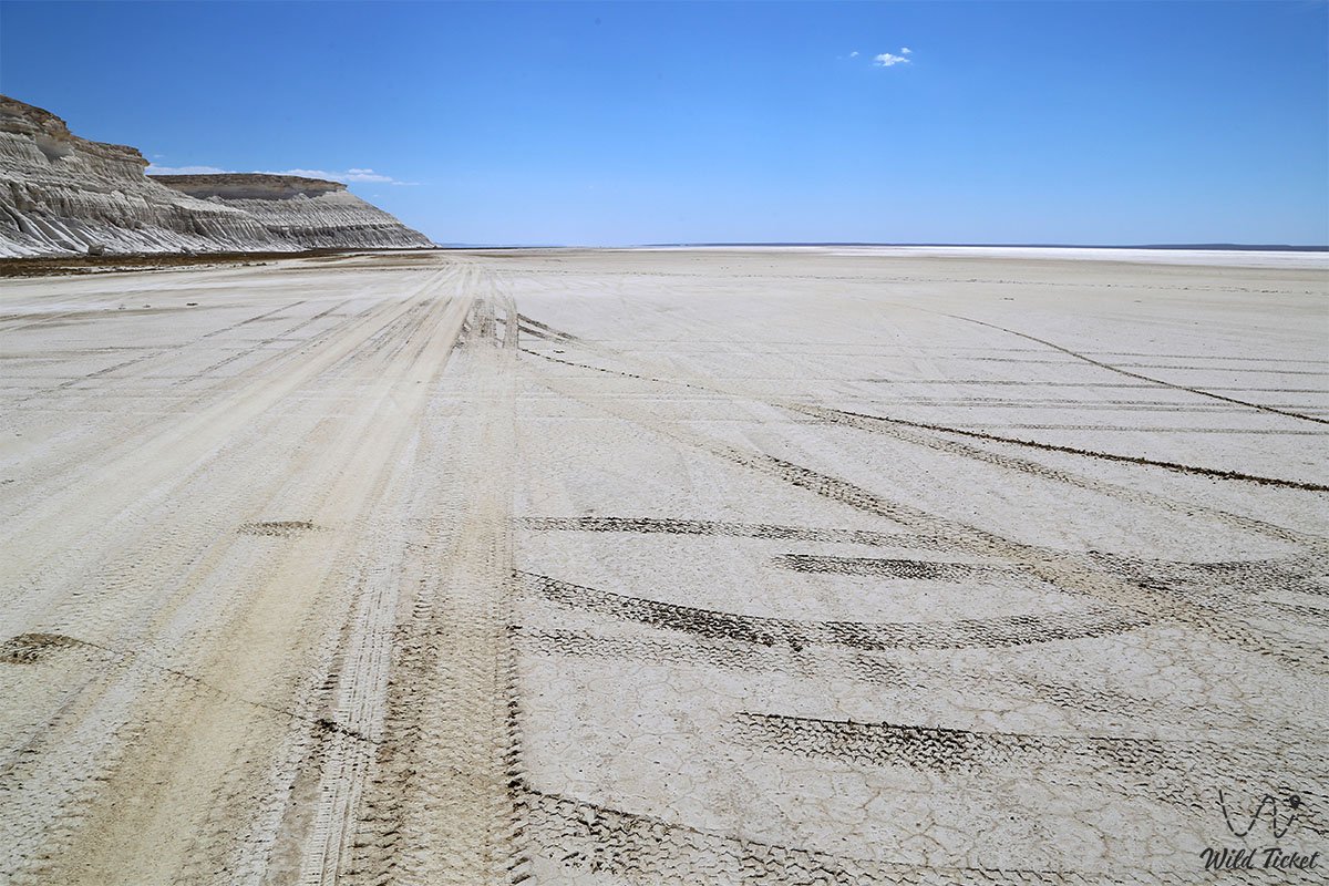
5. Western Chink of the Ustyurt Plateau – a monumental 100–150-meter escarpment in the east of the district, at whose foot the salt-marsh basins of the Tuzbair sor are spread.
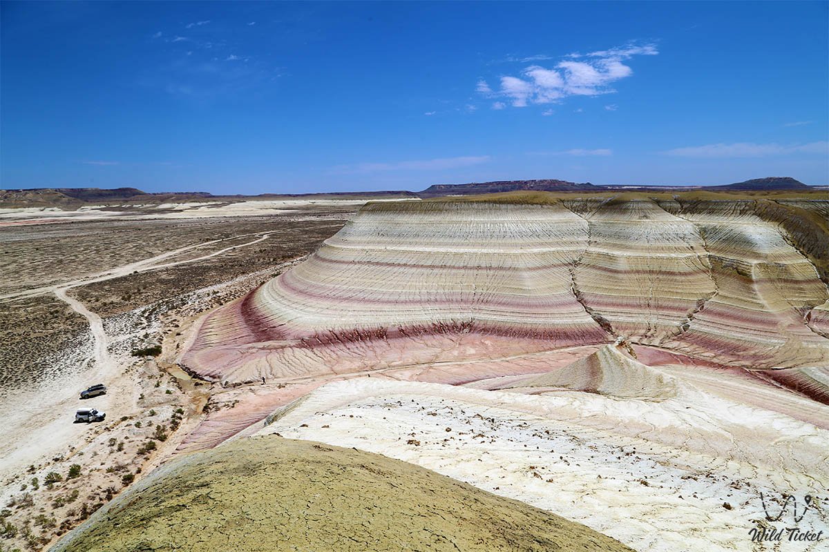
The geological structure of the district is an open-air museum illustrating the evolution of the Earth from the Paleozoic to the Cenozoic. The Karatau ranges are composed of ancient Permo-Triassic folded and metamorphosed dark sandstones and shales. The surrounding Aktau ranges and Ustyurt chinks consist of thick marine deposits of the ancient Tethys Ocean – Turonian writing chalks, Paleogene coquina limestones, marls, and gypsum. In the Kokkala tract, unique variegated clays and carbonaceous shales of the Jurassic period dating back over 140–170 million years outcrop on the surface, preserving fossilized flora of ancient cycads and ginkgoes.
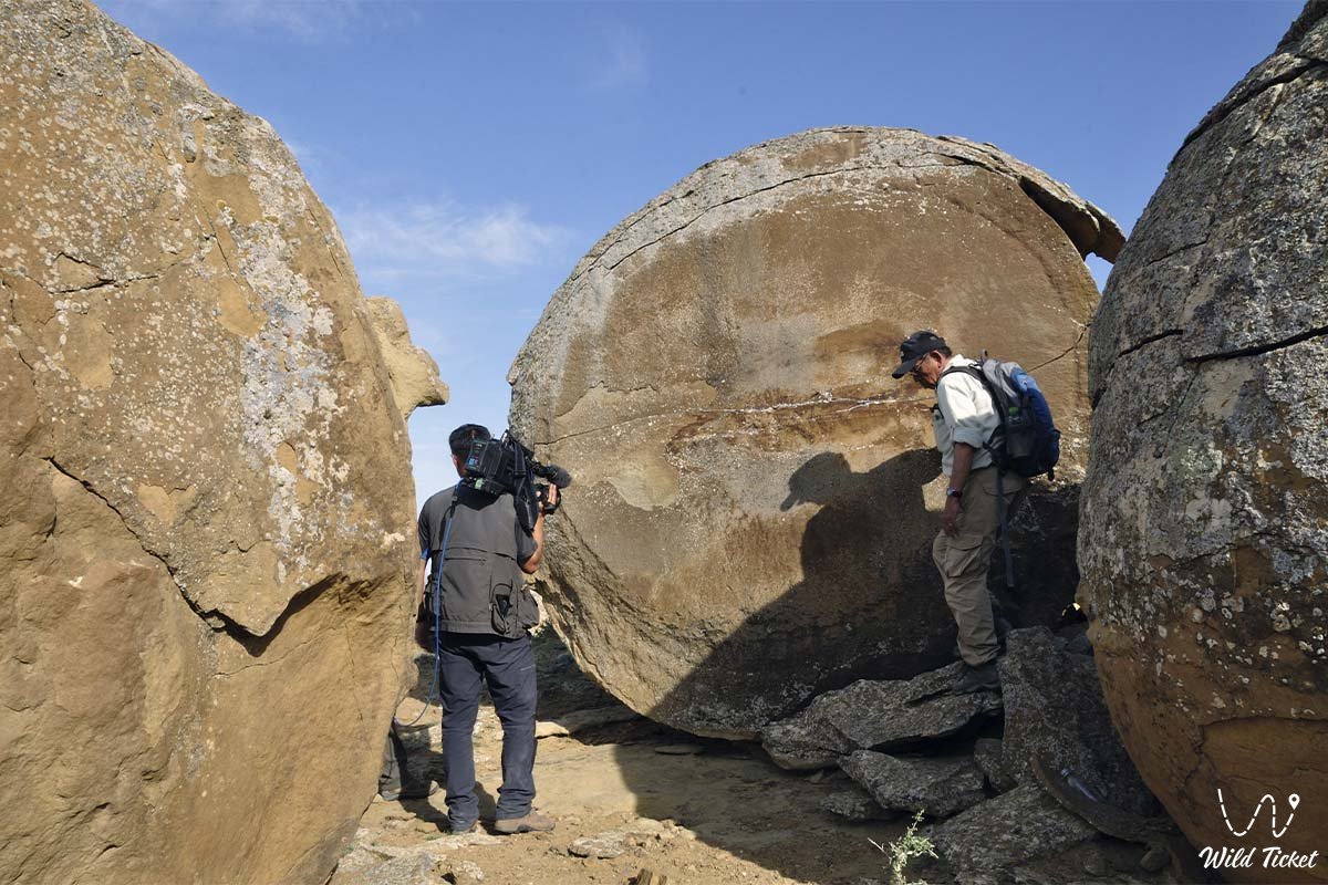
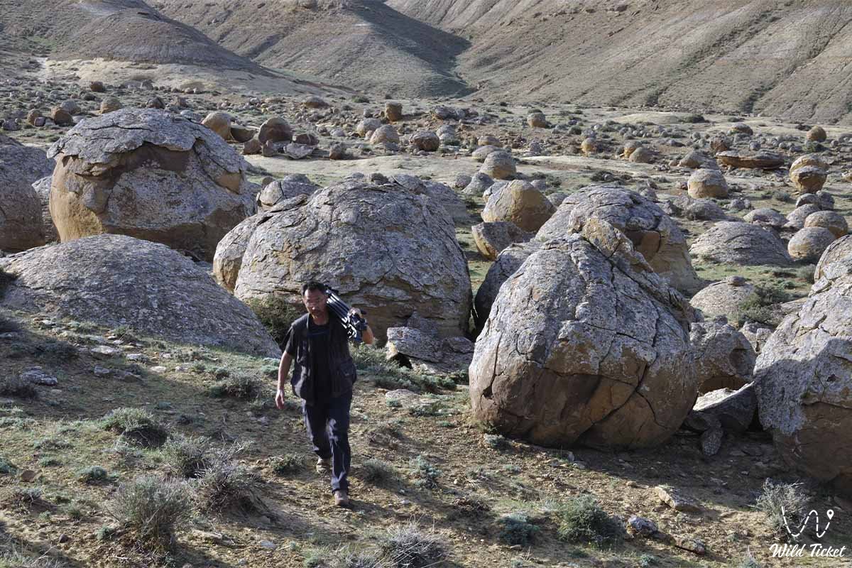
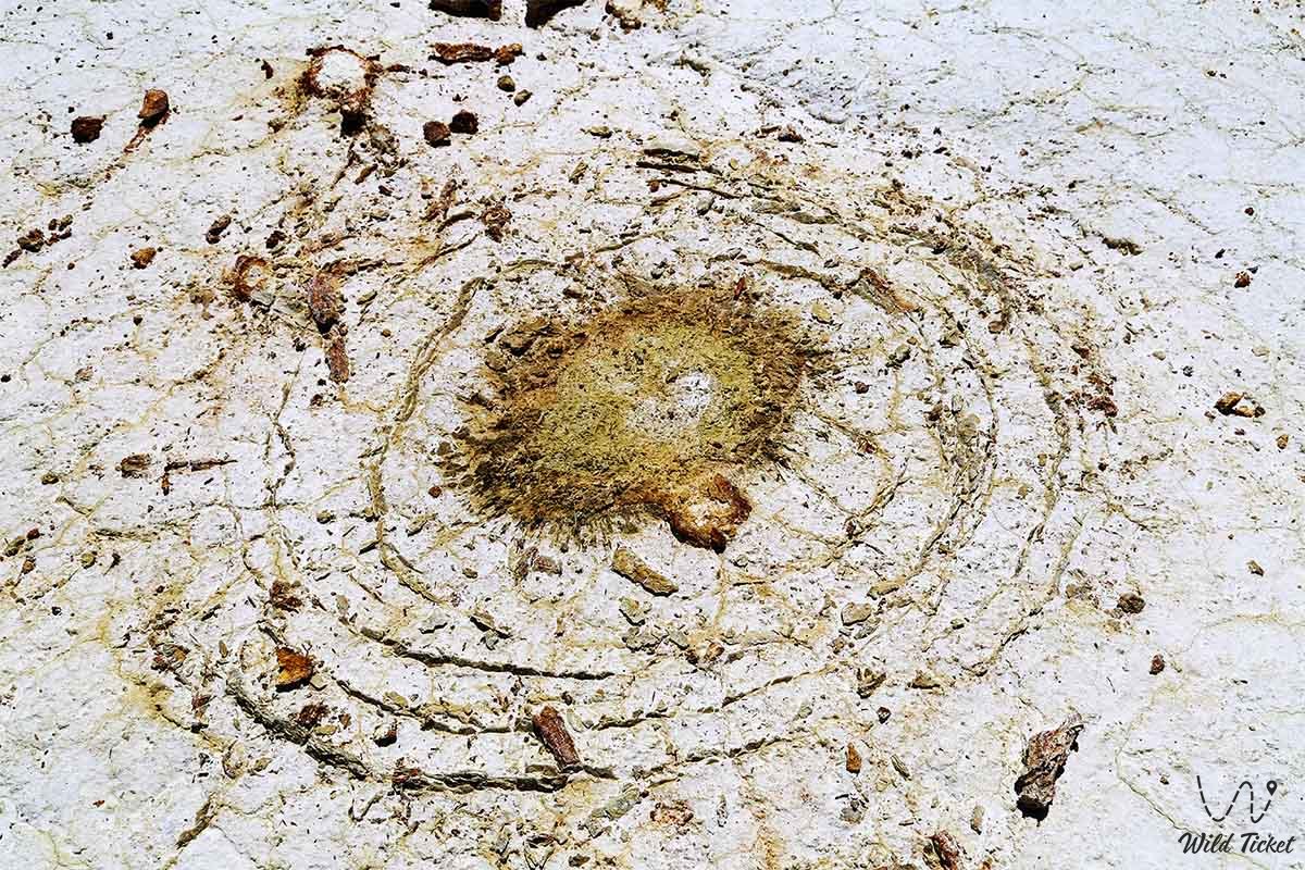
Paleontological wealth in the district is vast: teeth of prehistoric sharks, ray dental plates, belemnite rostra, and Mesozoic mollusk shells are routinely found in the chalk screes of Tuzbair and Airakty. Thousands of giant spherical mineral concretions up to 2–3 meters in diameter lie scattered across the Torysh tract, formed within the ocean's sandy strata through concentric cementation of minerals around organic nuclei.
The hydrological regime of the district is arid: perennial rivers do not exist here. The life of oases is sustained by deep fractured Karatau springs, which nourish permanent brooks in the Samal, Sazanbay, and Akmysh ravines.
The climate is sharply continental and arid. The average January temperature ranges from -4 to -7 °C (with winter drops down to -25 °C accompanied by biting winds), while July averages +28...+32 °C (with daytime peaks in the sun exceeding +45 °C). The frost-free period lasts approximately 200 days per year.
Detailed description of the venue
The natural, historical, and infrastructural complex of the Mangystau District encompasses the following major zones and landmarks:
• Settlement of Shetpe – administrative, cultural, and transport center of the district with a population of over 16,000 residents, a major railway junction, a quarrying and stone-processing hub (crushed stone and coquina quarries), and the primary transit base for travelers.
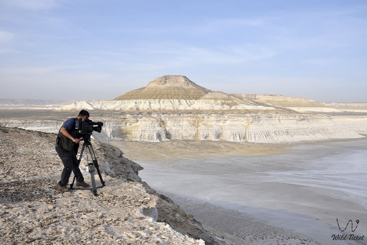
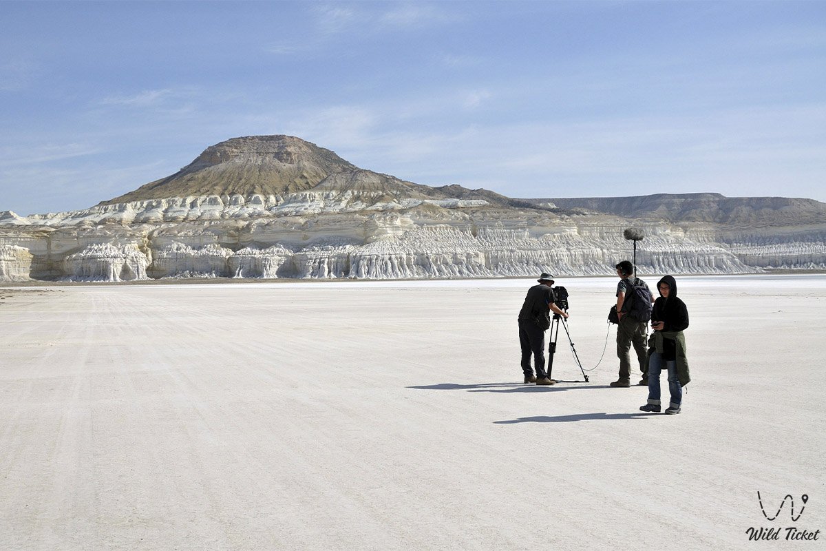
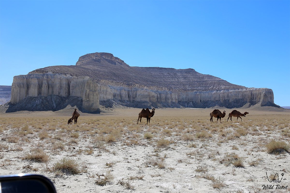
• Mount Sherkala Remnant Outlier ("Lion's Fortress") – the globally recognized symbol of Mangystau rising over 300 meters, a solitary table mountain of white chalk and ochre sandstone resembling a giant yurt from one angle and a crouching lion from another.
• Torysh Valley of Spherical Concretions – a colossal natural field spanning dozens of square kilometers, strewn with thousands of perfectly round stone spheres, spheroids, and cracked "dragon eggs."
• Airakty – Shomanay Valley of Castles Outlier Massif – an 11-kilometer ridge of snow-white chalk outliers crowned with colonnades, towers, and spires, sketched by Taras Shevchenko, featuring giant contemporary geoglyphs by Andrey Astafyev and ancient petroglyphs.
• Samal Mountain Gorge with Cascading Brooks – a narrow, shaded rock canyon cut into Permo-Triassic strata of Karatau, featuring a perennial freshwater stream, cascading waterfalls, running pools, and relict hawthorn thickets.
• Relict Spring Garden and Akmysh Say Oasis – a shaded park of centuries-old elms, poplars, and weeping willows with a cool murmuring brook, a monument to the maiden Akbobek, and picnic gazebos.
• Ruins of the Medieval Fortified Town of Kyzylkala – the only medieval trade and craft town of the 10th–13th centuries on the peninsula, preserving the remains of a citadel, 13 towers, caravanserais, and Silk Road jewelry workshops.
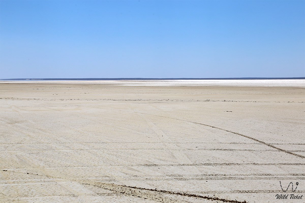
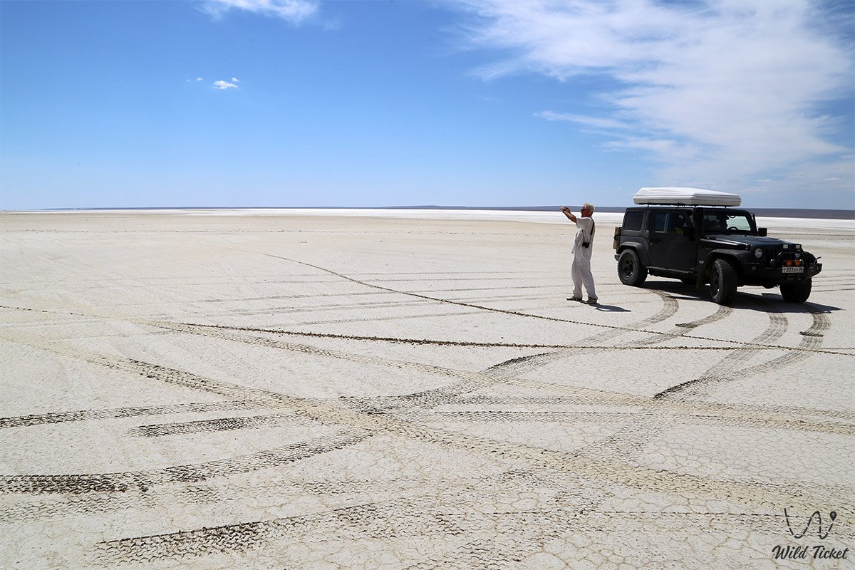
• Snow-White Tuzbair Salt Flat and Natural Arch – a giant salt lake measuring 15x4 km at the foot of a 100-meter Ustyurt scarp, featuring mirror-like water in spring, a natural rock arch, and deposits of shark teeth from the Tethys Ocean.
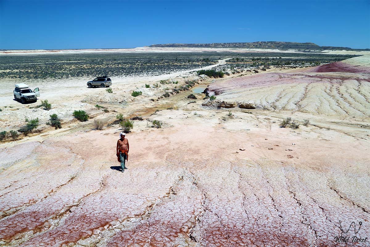
• Kokkala Variegated Jurassic Clays Tract – a whimsical erosional labyrinth of stratified clays, siltstones, and coaly beds over 140 million years old, displaying vivid shades of ochre, lilac, green, and white.
• Otpan-Tau Historical and Cultural Complex – the sacred summit of Western Karatau (533 m) featuring the monument to Aday-Ata, the beacon bowl of unity, a museum of national history, and a panoramic viewing terrace overlooking the peninsula.
Flora and fauna
The plant cover of the Mangystau District is markedly arid, complemented by localized oasis sanctuaries. The stony plateaus, gravel aprons, and clay plains are dominated by semi-desert vegetation: gray-soil wormwood, Lerche's wormwood, biyurgun, boyalych, eastern saltwort, and spiny dzhantak (camelthorn). Thickets of nitre bush (Nitraria) and tamarisk grow within scarp ravines.
In spring, the landscape undergoes a striking transformation: in April and May, the intermontane valleys are carpeted with wild Sogdian tulips, two-flowered tulips, steppe irises, giant ferula, and feather grass. Deep, shaded gorges fed by permanent springs (Samal, Akmysh, Sazanbay) preserve relict woodlands: black and heterophyllous poplar (turanga), weeping willow, centuries-old elms, Russian olive, alongside dense growths of hawthorn, blackthorn, blackberry, reed, and fragrant peppermint.
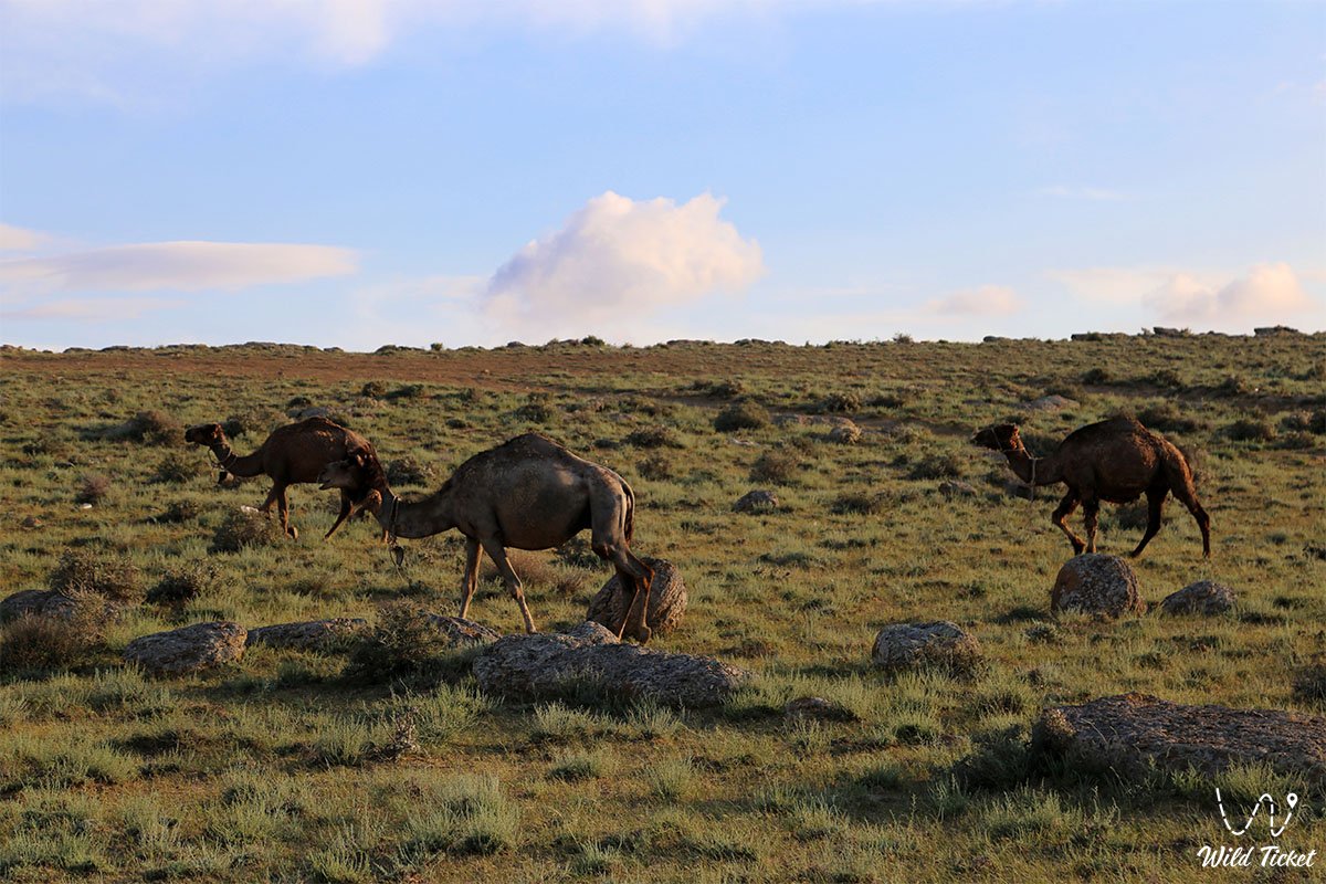
The wildlife of the district is varied and includes rare species entered into the Red Book of Kazakhstan. The steep cliffs of the Karatau range and Ustyurt chinks provide habitat for the regional endemic—the Ustyurt mountain sheep (mouflon/argali). Bands of saigas and cautious goitered gazelles wander the open plains. Semi-feral Aday horses and one-humped dromedary camels are seen everywhere. Common small mammals include the tolai hare, corsac fox, steppe polecat, badger, long-eared hedgehog, along with numerous rodents like jerboas and gerbils. At night, steppe wolves and jackals hunt throughout the foothills.
The avifauna encompasses dozens of species. Raptors nesting in rock niches include the golden eagle, steppe eagle, long-legged buzzard, saker falcon, common kestrel, Egyptian vulture, and Eurasian eagle-owl. Chukar partridges, European rollers, hoopoes, and desert wheatears frequent the rocky screes.
Reptiles are represented by the Central Asian tortoise, agile steppe agama, toad-headed agama, sand boa, dione snake, and the venomous Halys pit viper. Solifuges, scorpions, and karakurt spiders shelter in stone crevices.
Legend
A renowned steppe legend celebrating the sacred fire of unity and the endurance of the people is tied to the land of the Mangystau District and the sacred summit of Otpan-Tau.
Tradition recounts that at the dawn of time, when hostile invaders sought to conquer the boundless expanses of Mangyshlak, tribal elders gathered at the base of Karatau for a great council. Wise Aday-Ata climbed to the summit of Otpan, the highest peak. Addressing his sons and people, he declared: "Our land is austere and waterless, yet it is generous to those who hold honor and unity in their hearts. So long as we remain united, no enemy shall ever break the spirit of our batyrs!"
Striking a piece of black Karatau flint with his steel, the elder ignited the sacred beacon flame ("uran oty") atop the mountain. The fire leapt toward the night sky, illuminating the chalk crags of Sherkala and the white chinks of Ustyurt. This beacon became an enduring symbol of brotherhood: whenever danger threatened the steppe borders, sentinels lit the sacred pyre on Otpan. Seeing the flames, dzhigits from the most distant auls saddled their mounts and gathered under a single banner, repelling every assault.
Ever since, the mountains of the Mangystau District have been revered as the sacred hearth of the ancestors. Each spring, on the vernal equinox during the Amal (Korisu) celebration, the flame of unity is lit anew atop Mount Otpan, reminding future generations of the batyrs' covenants, an unbreakable devotion to their homeland, and the sanctity of the native hearth.
Conclusion
The Mangystau District is the quintessential expression of Mangyshlak's majesty and mystique, a realm where snow-white chalk castles and spherical concretion fields of the ancient Tethys Ocean blend seamlessly with the valiant history of nomadic batyrs and the serenity of Sufi shrines. An expedition across the Mangystau District grants the traveler a profound sense of genuine freedom, revealing the intimate secrets of nature and the timeless spiritual heritage of the Kazakh people.
Attractions near the district:
• Chalk Outliers "Fangs of Bozzhira";
• Kyzylkup Tract;
• Porous Canyon Kabyrga (Ybykty-Say);
• Mount Bokty Table Mountain;
• Zhygylgan Sinkhole;
• Traces of Ancient Animals in the Zhygylgan Tract;
• Heart-Shaped Lake Kuzdykary;
• Karynzharyk Desert Depression;
• Chalk Outliers "Three Brothers";
• Deepest Karagiye Depression;
• Canyons of Kapamsay, Tamshaly, and Saura;
• Lake Karakol;
• Tyub-Karagan Bay, Bautino Village-Port, and the Town of Fort-Shevchenko;
• Tupkaragan Peninsula;
• Ustyurt State Nature Biosphere Reserve;
• Karagiye-Karakol Nature Sanctuary.
Shrines of Mangystau – underground mosques and pilgrimage destinations:
• Otpantau Complex on Mount Otpantau;
• Kolbas Ishan Mosque;
• Koben Mosque;
• Zholaskan Mosque;
• Great Tulep Necropolis;
• Seydi Islam Ata Necropolis;
• Nurbergen Kalyshev Mausoleum;
• Zhaman Sauran Mosque;
• Ishan Khozha Mosque;
• Itolla Mosque;
• Akshora Mausoleum;
• Sonabay Underground Mosque;
• Masat-Ata Mosque;
• Uytoly-Ata Underground Mosque;
• Sanctuary of Bayte;
• Khanga Baba Necropolis;
• Sherkala Necropolis near Mount Sherkala.
Photogallery: