Rocky scarps of Tupkaragan and protected marine haven of the Caspian Sea –
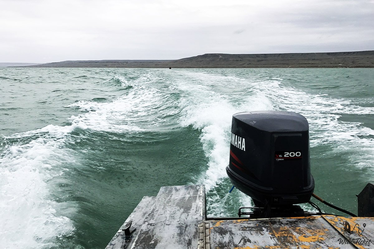
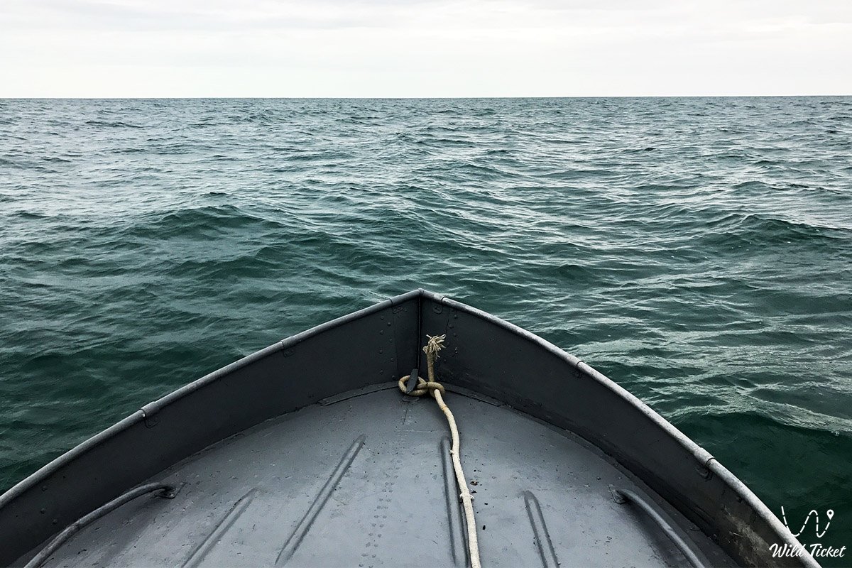
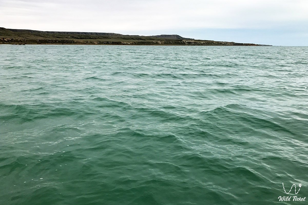
Koshak Bay (Kaz. Qoshaq shyghanaghy) represents a scenic semi-enclosed bay in the basin of the Caspian Sea, situated on the southwestern borders of the Republic of Kazakhstan. Indenting the northeastern coastline of the Tupkaragan Peninsula, it forms a calm, deep basin amidst the rugged desert landscapes of the Tupkaragan district. This vast coastal water body serves as an important natural landmark of the Mangystau region, transitioning smoothly in the east into the low-lying shores of the Buzachi Peninsula.
In the tourism and expedition logistics of the Northern Cluster of Mangystau, the coast of the bay serves as an excellent starting base for coastal off-road expeditions. Just 120–130 kilometers to the south along a paved highway lies the regional center Aktau, from where the route to maritime horizons passes through the ancient crossroads of Tauchik village. West of the bay along the ridge of the peninsula open celebrated landmarks of the coast: the colossal geological Zhygylgan sinkhole with fossil tracks of Neogene saber-toothed cats, wild Cape Tyub-Karagan, the deep marine haven of Tyub-Karagan Bay, the historic seaport village of Bautino, and the relict poplar oasis of the Khanga-Baba tract.
Coastal relief and littoral cliffs were shaped by the retreat of the ancient Tethys Ocean and Late Quaternary marine transgressions of the ancient Caspian. From the bay in a southeasterly direction toward the mountain ridges of Northern and Southern Aktau, routes lead to the valley of giant stone spheres Torysh, the sacred summit of Mount Otpan-Tau with the Aday-Ata memorial complex, the solitary residual mountain Sherkala, and the excavations of the caravan trade settlement of Kyzylkala.
Sheltered by rocky scarps from open-sea storms, the shallow waters of the bay warm rapidly in spring and summer, creating a rich feeding ground for fish, colonies of waterfowl, and the Caspian seal. Traveling northeast from the bay opens the boundless realm of coastal salt flats leading to the Buzachi sands, the salt marshes of Dead Kultuk and Kaydak bays, and the boundaries of the Aktau-Buzachi Nature Sanctuary.
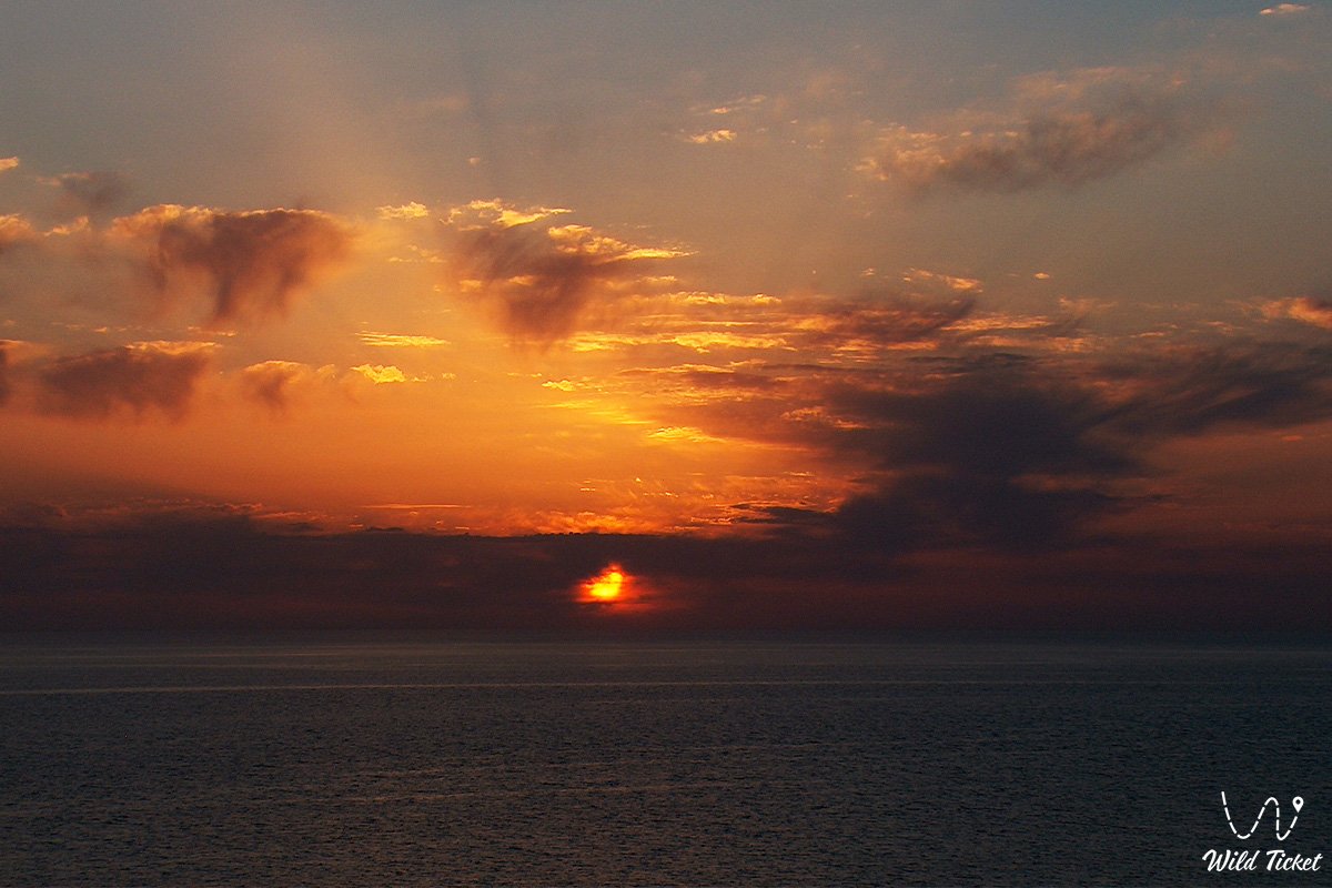
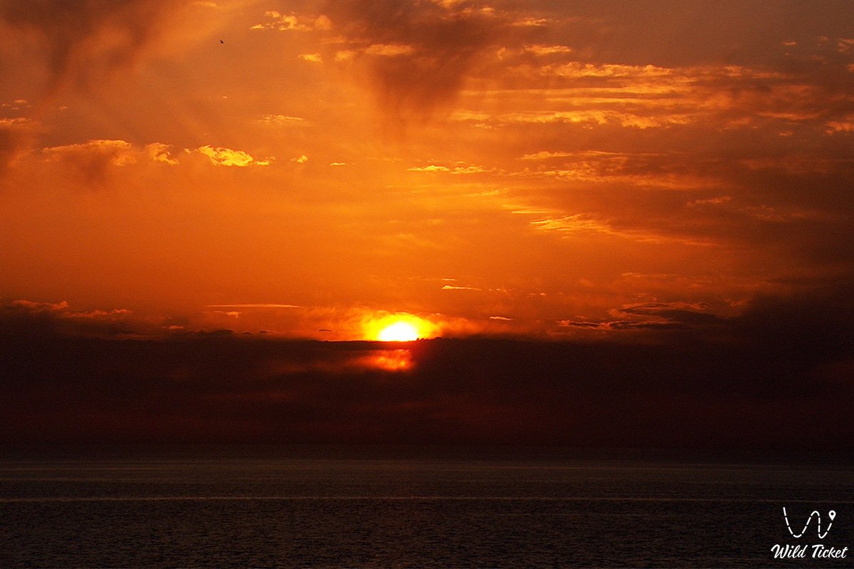
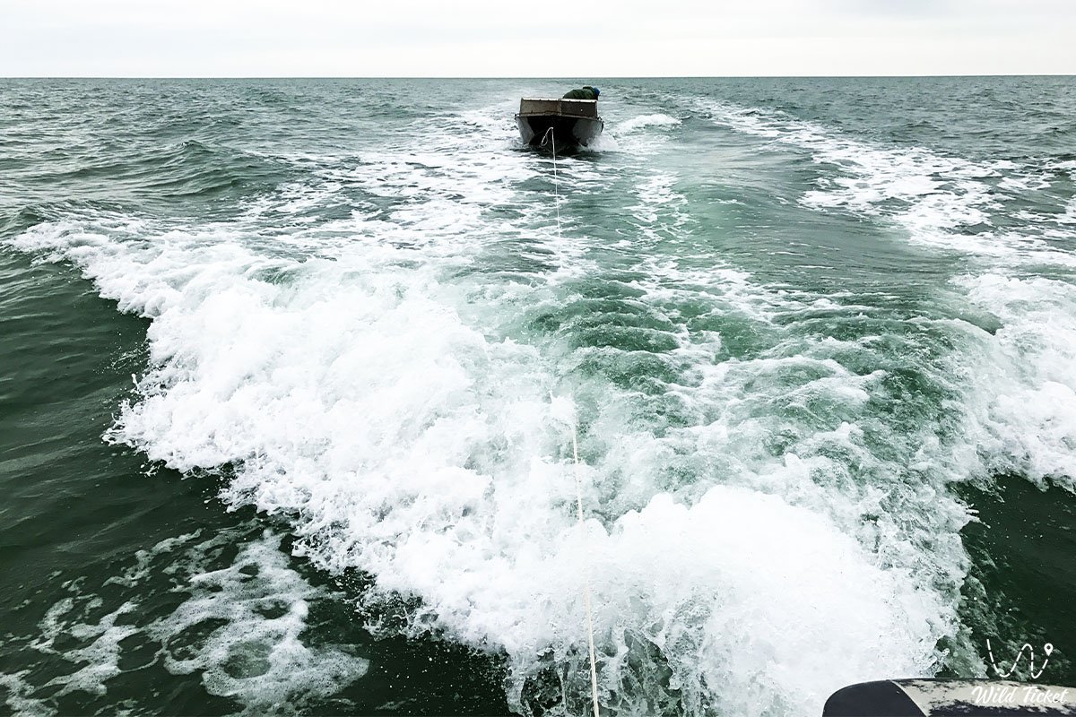
For self-drive travelers and explorers, Koshak Bay serves as an ideal seaside refuge: people travel here for superb coastal fishing targeting Caspian mullet and pike-perch, picturesque campsites with tents framed by sunset skies, and the chance to observe Caspian seals surfacing near rocky headlands alongside flocks of migratory flamingos. Today, Koshak Bay is recognized as a benchmark of wild, untouched coastal nature of Tupkaragan, attracting expedition teams, off-road road-trippers, and birdwatchers with the crystal turquoise of secluded lagoons, fantastic sunsets over the Caspian, and the absolute silence of the coastal desert.
--------------------------------------------
How to get there and visit –
Koshak Bay is located on the northeastern coast of the Tupkaragan Peninsula in the Tupkaragan district, Mangystau region. The distance from the city of Aktau is about 135–145 km, from the district administrative center town of Fort-Shevchenko – roughly 75–80 km, from the village of Bautino – about 70 km, and from the junction settlement of Tauchik – approximately 45–50 km.
GPS geographical coordinates of Koshak Bay:
44°33'29"N 51°24'05"E
The primary driving route from the city of Aktau leads north along the paved highway of republican significance Aktau – Fort-Shevchenko (via Akshukur village). Near Tauchik village, the route turns north toward the coast, where the quality paved asphalt gives way to a network of hard-packed gravelly-stony graders and field tracks descending from the plateau down to the shoreline of the bay. Driving time from Aktau by car takes about 2.5–3 hours.
An alternative expedition route runs from Fort-Shevchenko and Bautino along the northern rim of Tupkaragan's cliffs via the Zhygylgan sinkhole. This trail is exceptionally scenic, but requires slow driving across stony terraces and rocky ledges.
Driving directly to the shores of the bay and camping on its beaches requires an all-wheel-drive vehicle (crossover or body-on-frame 4x4 SUV). Descents from the plateau to the water follow narrow erosional gullies and stony screes. Along the coastline, heavy vehicles must strictly avoid driving onto soft silty mudflats at the waterline and loose dry shell mounds. Every vehicle must carry a tire compressor, a kinetic recovery strap, a sound spare wheel, and a jack.
Visiting regime: the coast of the bay is open to visitors, and access does not require special permits. However, the territory borders the maritime frontier zone of the Republic of Kazakhstan on the Caspian Sea; all members of the group must carry original passports or ID cards.
Infrastructure along the shores of the bay is completely absent: untouched wilderness reigns supreme. The nearest brand-name gas stations, tire shops, grocery stores, and medical posts are situated in Tauchik village and the town of Fort-Shevchenko. Wild camping requires full autonomy: an ample supply of drinking water (at least 5 liters per person per day), spare fuel in jerrycans, camp gear, sturdy windbreak shelters, and sun protection. Mobile reception along the plateau above the bay is patchy and drops out completely under the cliffs near the water.
The best season to visit is from late May through mid-September, when seawater in the sheltered bay warms to a comfortable +23...+26 °C, providing pleasant conditions for swimming, snorkeling, and tent camping. Spring (April – May) and autumn (September – October) are optimal for birdwatching, sea angling, and landscape photography without summer heat.
--------------------------------------------
History
The history of Koshak Bay reaches deep into antiquity, intertwined with seafaring, fishing, and ancient migration trails of Eastern Caspian nomads. Since the Neolithic and Bronze ages, the sheltered coves of Tupkaragan attracted early hunters and fishermen: archaeologists have identified flint flakes, arrowheads, and ceramic shards on the plateau overlooking the bay.
The bay draws its Kazakh name "Qoshaq" from a pastoral nomadic term: the word "qoshaq" or "qoshalaq" designated sheltered enclosures for young lambs and sheep. The very shape of the bay's shoreline, guarded by sheer cliff scarps from harsh northerly and westerly gales, served Aday nomads as an ideal natural paddock and warm wintering ground (kystau) where juvenile livestock was shielded from blizzard winds.
In medieval centuries, Caspian maritime routes passed through the bay: merchant ships and fishing boats took refuge in Koshak's calm waters during storms on the open roadsteads of Tupkaragan. Steppe holy men and batyrs were buried across the flat terraces above the bay, as marked by ancient headstones and sculptured koytases.
In the 19th century, during hydrographic surveys conducted by the Russian Empire, Koshak Bay was documented on nautical charts as a convenient anchorage with good depths for longboats and sloops. In the late 19th and early 20th centuries, seasonal camps of Aday and Turkmen fishermen operated in the bay, harvesting mullet and sturgeon.
During the Soviet era, the bay's waters were utilized by fishing collectives of the Guryev and Mangyshlak regions. In recent decades, Koshak Bay has become a favored destination for eco-tourism, off-road safaris, and spearfishing thanks to water clarity and the complete absence of industrial infrastructure.
Information
Geomorphologically, Koshak Bay represents a semi-enclosed marine abrasional-aggradational basin carved into the northeastern part of the Tupkaragan Peninsula for 8–10 kilometers with an entrance mouth width of up to 12 kilometers. The shoreline alternates between steep rocky cliffs rising 20–35 meters high in the west and gently sloping sandy-shell beaches in the east. The water level matches the Caspian Sea baseline (-28 meters below global sea level), rising across coastal terraces of the plateau to +40...+60 meters.
The geological basement of the coast is formed of Neogene and Paleogene marine sedimentary strata deposited on the floor of the Tethys Ocean. Shoreline outcrops and chinks expose beds of yellow-brown Sarmatian coquina limestones, oolitic limestones, marls, and bedded clays, capped by Quaternary marine gravels and sands. Wave surf and longshore currents created extensive underwater reef zones, stone platforms (benches), and shell banks across the bay floor.
Soil cover is sparse, represented by coastal hydromorphic salt marshes, littoral sand-shell grounds, and gravelly gray-brown desert soils across the plateau.
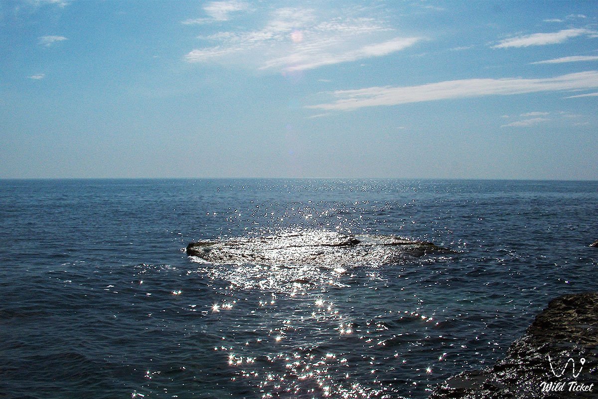
The hydrological regime features favorable stability: sheltered within the inner arc of Tupkaragan, the bay remains protected from heavy ocean swell. Central depths reach 4–7 meters, shelving gently toward the eastern shore. The water exhibits high clarity (visibility up to 4–5 meters) and a distinctive emerald-turquoise hue. In summer, water temperatures reach +25...+27 °C. In severe winters, shallow fringes freeze with fast ice for several days up to two weeks.
The climate is temperate desert with marked maritime influence. Winters are comparatively mild yet breezy, with average January temperatures of -2...-5 °C. Summers are long, dry, and sunny: average July temperatures measure +27...+31 °C with daytime highs up to +38...+40 °C. Annual precipitation averages 140–160 mm, with sea breezes bringing nightly cooling and easing daytime heat.
Detailed description of the venue
The natural landscape ensemble of Koshak Bay includes the following distinct sectors, shoreline zones, and scenic viewpoints:
• Western rocky chinks of the bay – sheer limestone cliffs up to 30 meters high with wave-cut notches, grottoes, and natural observation shelves overlooking the azure sea.
• Eastern coquina lagoon – an extensive gentle beach strip carpeted with crushed white shells and quartz sand, well suited for camp pitches and swimming with a shallow water entrance.
• Submerged limestone reefs – rock ridges and drowned slabs extending dozens of meters from the shore, providing natural shelter for fish shoals and marine life.
• Estuarine dry ravines (says) – deep dry gorges cutting through the plateau down toward the bay, through which challenging off-road tracks descend to the sea.
• Inner shallow shoals – quiet shallows at the head of the bay with warmed water, serving as feeding and resting grounds for waterbirds.
• Panoramic headland above the entrance – an elevated rocky promontory providing a 360-degree vista over the open Caspian and the distant outlines of the Buzachi coast.
Flora and fauna
The plant life along the coast exhibits an arid-littoral character. Stony plateau terraces and sand dunes support gray-soil wormwood, Lerche's wormwood, Anabasis salsa (biyurgun), boyalych, Krascheninnikovia (teresken), Russian saltwort, and eastern saltwort. In ravines near brackish groundwater seepages grow dense clusters of tamarisk, common reed, and camelthorn (dzhantak). In spring, stony slopes are briefly blanketed with wild tulips, alliums, and ephemeral grasses. Submerged meadows of brown and green algae thrive in the water.
Fauna in the bay is diverse. Caspian seals regularly haul out on quiet shallows and isolated reef rocks, feeding on fish far from shipping lanes. The ichthyofauna includes commercial fish species: Caspian mullet (singil), wild carp, pike-perch, Caspian roach, herring, bream, and gobies. Migratory sturgeons (stellate and Russian sturgeon) frequent deeper water layers.
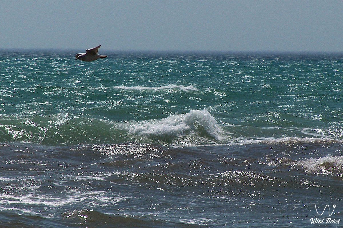
Avifauna exceeds one hundred species. Caspian gulls, mallards, ruddy shelducks, and great cormorants nest along rocky ledges. Shallows support foraging waders, grey and white herons, glossy ibises, and common shelducks. During spring and autumn migrations, flocks of mute swans, whooper swans, and greater flamingos rest upon the water.
Terrestrial mammals inhabiting the semi-desert of Tupkaragan include the corsac fox, wolf, steppe polecat, tolai hare, long-eared hedgehog, and gerbils. Cautious Ustyurt mouflons (argali) occasionally appear along the cliffs.
Herpetofauna is represented by the agile steppe agama, toad-headed agama, dione snake, four-lined snake, arrow snake, and Central Asian tortoise.
Legend
An ancient Kazakh legend concerning the Shepherd-Batyr and the Haven of Refuge is tied to Koshak Bay.
Tradition tells that in ancient times, a poor yet steadfast shepherd named Koshak wandered the plains of Tupkaragan. He guarded his aul's flocks and understood the voices of the winds and sea.
One winter, a freezing blizzard—a zhut—struck from the north. The storm drove needle-like snow, threatening to freeze all lambs and destroy the herds. Steppe wolves stalked the exhausted flocks. Seeing the peril facing his people, Koshak prayed to the spirits of his ancestors and guided the sheep straight toward the edge of a high coastal precipice.
When the clan lost hope, Koshak struck his wooden staff against the rock rim. The ground opened, uncovering a secret gentle path to the sea, where behind high limestone ramparts lay a warm, ice-free marine haven. The shepherd sheltered the entire camp and all the young livestock in the bay, standing vigil with a spear on the narrow trail to fend off wolf packs until dawn.
With spring's return, the camp was saved, and people gratefully named the sheltered cove after the brave shepherd – Koshak Bay. Ever since, nomads believed the rocky walls were blessed, protecting any traveler from life's fiercest storms.
Conclusion
Koshak Bay is a hidden jewel of the rugged Tupkaragan coast, where the primeval power of the Caspian Sea blends with the peace of white shell lagoons and the majesty of ancient cliffs. A journey to Koshak Bay offers wild tent camping by the surf, crystalline water, rewarding fishing, and the sight of the sun slowly sinking into the boundless waters of the Caspian.
Interesting sights in Mangystau:
• Bozzhira Tract;
• Ybykty-Say (Kabyrga) Canyon;
• Fangs of Bozzhira (Chalk Outliers);
• Mount Bokty;
• Airakty Tract;
• Tuzbair Salt Flat;
• Kenderli Salt Flat;
• Mount Sherkala;
• Paleontological Guide at Mount Sherkala;
• Kyzylkup Tract;
• Karagiye Depression;
• Karynzharyk Depression;
• Cape Tyub-Karagan;
• Oasis and Khanga-Baba Tract;
• Tamshaly Rocky Gorge;
• Saura Rocky Canyon with Relict Turtles.
Sacred pilgrimage sites:
• Beket-Ata Underground Mosque in Oglandy Tract;
• Shopan-Ata Underground Mosque in Karakiyan District;
• Karaman-Ata Underground Mosque and Necropolis;
• Mausoleum of Saint Man-Ata on Manata Pass;
• Shakpak-Ata Rock-Cut Cruciform Mosque;
• Sultan-Epe Underground Mosque and Necropolis.
Photogallery: