Travel from Almaty to Katon-Karagay -
Organization of tours and excursions in Katon-Karagay National Park -
Katon-Karagay District is the pearl of Eastern Kazakhstan, famous for its majestic mountains, unique nature and rich cultural heritage. This district is located in the east of the East Kazakhstan region, and its administrative center is the village of Katon-Karagay.
The district was founded on August 1, 1928, and in 1932 it became part of the East Kazakhstan region. The district borders on the Altai and Bolshoi Naryn districts in the west, the Kurchum and Markakol districts in the south, the Russian Federation in the north and the People's Republic of China in the southeast. The village of Katon-Karagay, which is the administrative center of the district, officially received the status of the center on December 4, 1970.
---------------------------------------------
How to get there and visit -
Katon-Karagay district is located 1100 kilometers from Astana and is located near the border with Russia, East Kazakhstan region, Republic of Kazakhstan.
GPS coordinates: 49°12'42"N 84°30'11"E
---------------------------------------------
Nature and climate
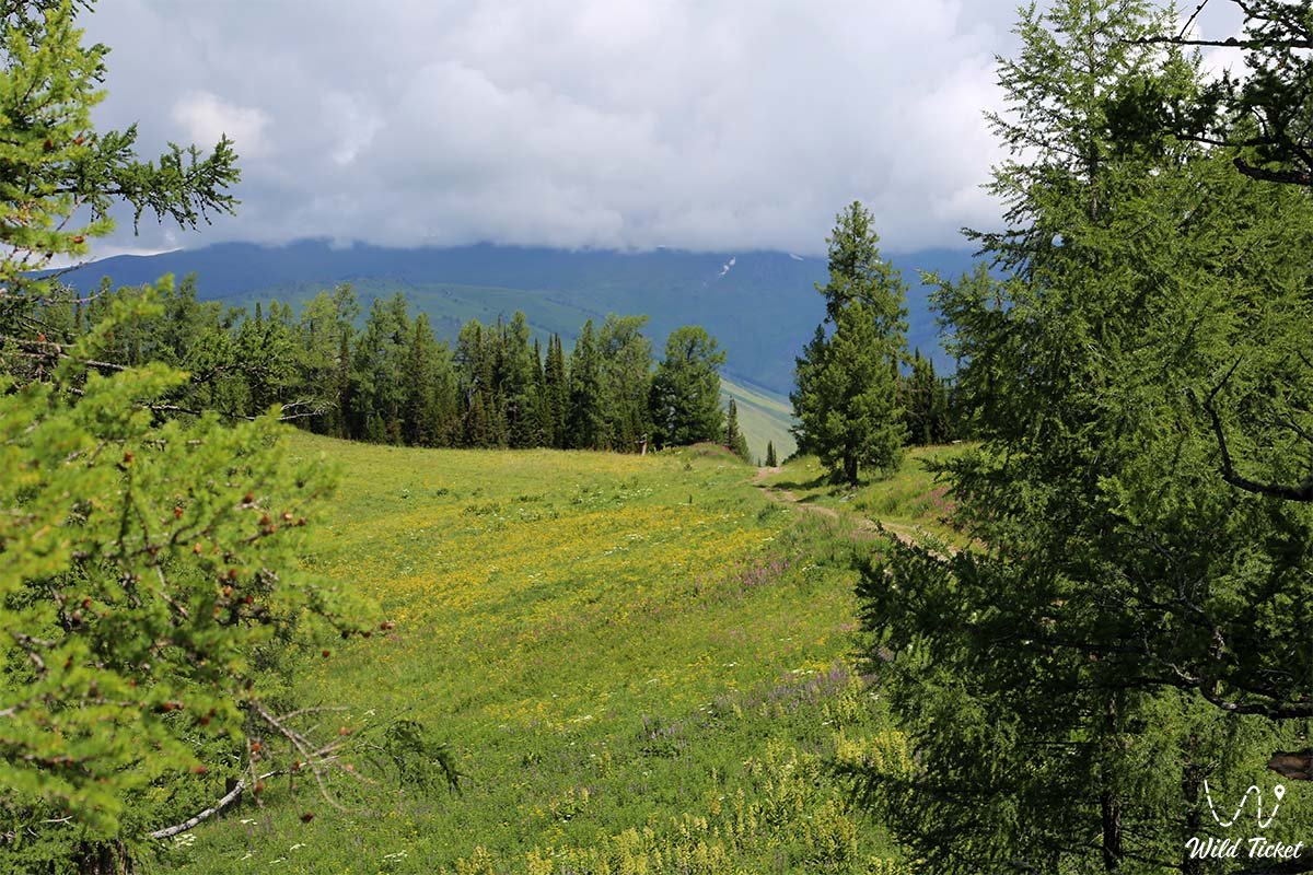
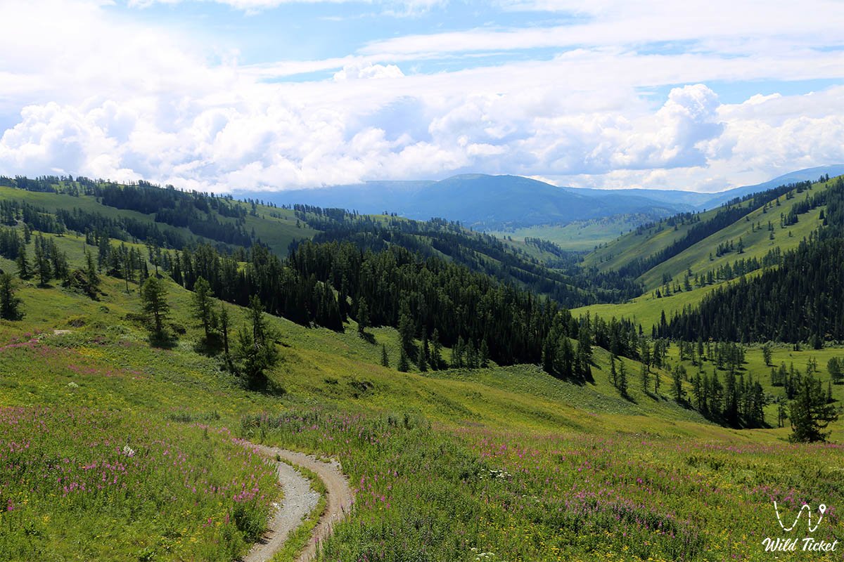
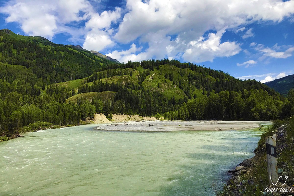
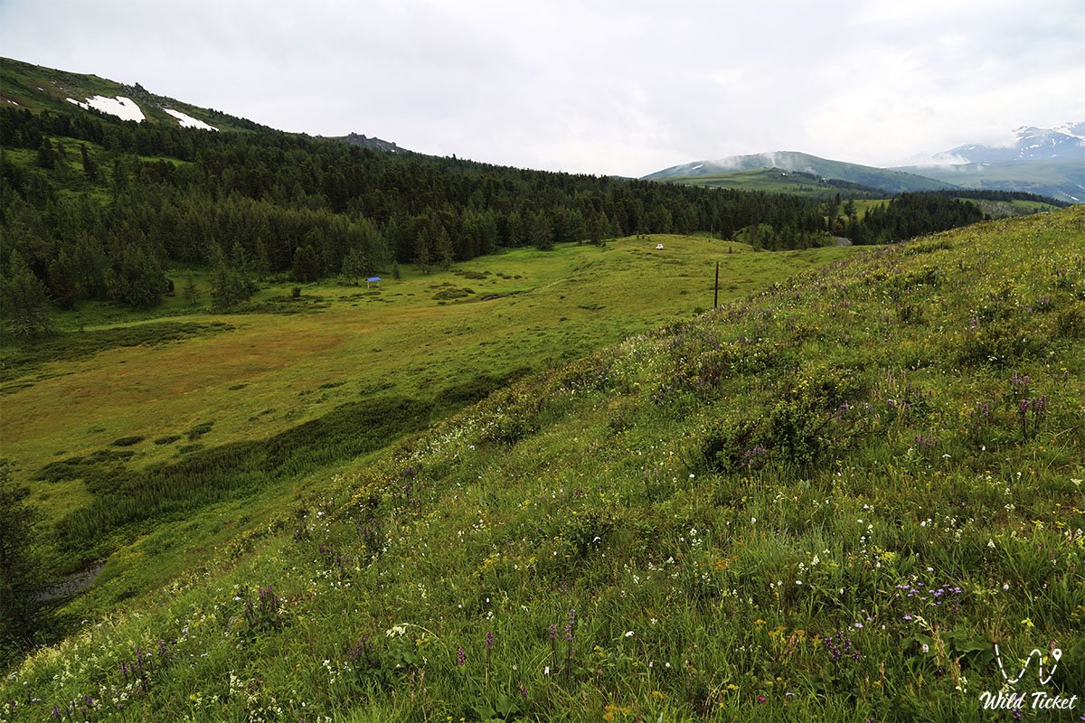
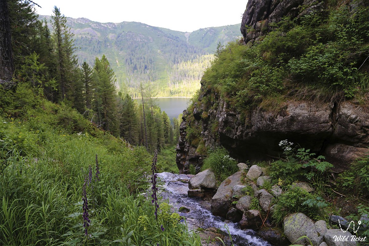
Katon-Karagay district is famous for its mountain-alpine landscape. Its climate is sharply continental: summers are hot, and winters are severe and cold. The territory of the district covers four natural and climatic zones:
High-mountain zone (tundra-meadow): characterized by sparse vegetation, among which green lichens, shrubs and sedge stand out.
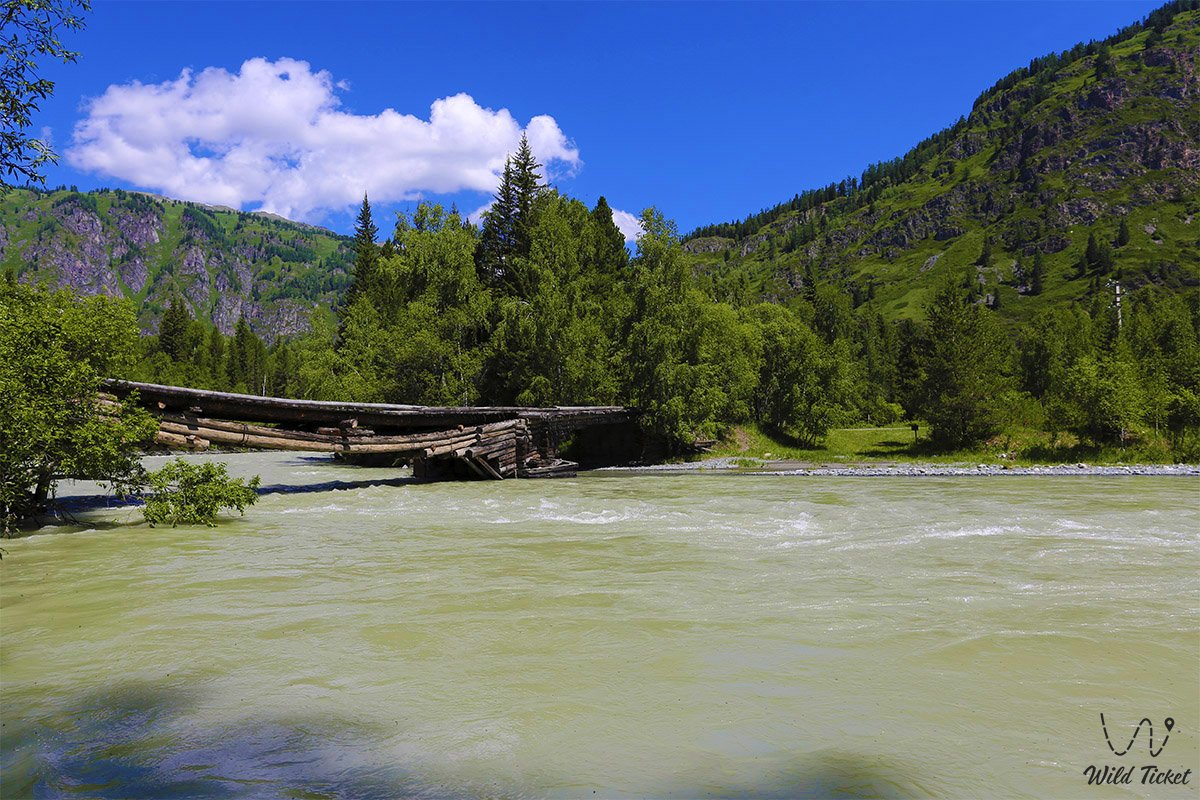
Mountain forest zone: more humid, with a cool climate. Here you can find lush forests with larch, spruce and birch trees.
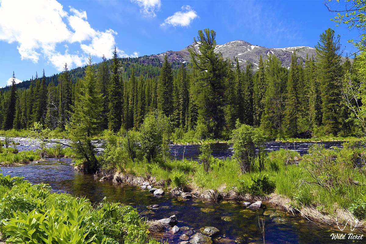
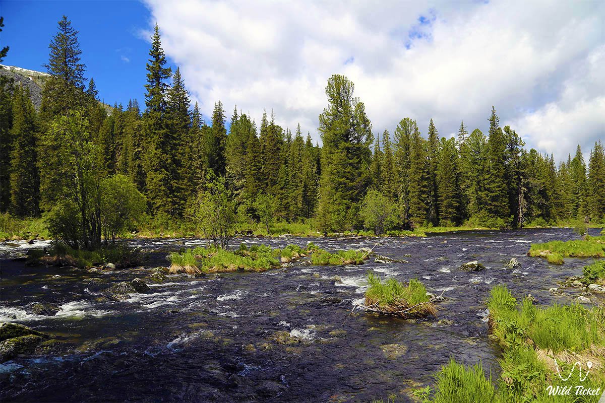
Mountain zone: characterized by high humidity and a wide variety of vegetation.
Humid forest-steppe: zone with vast grassy plains.
Vegetation depends on the altitude above sea level. In the subalpine zone, dense herbaceous plants grow, and alpine areas are characterized by low-growing plants and areas with rocky soil.
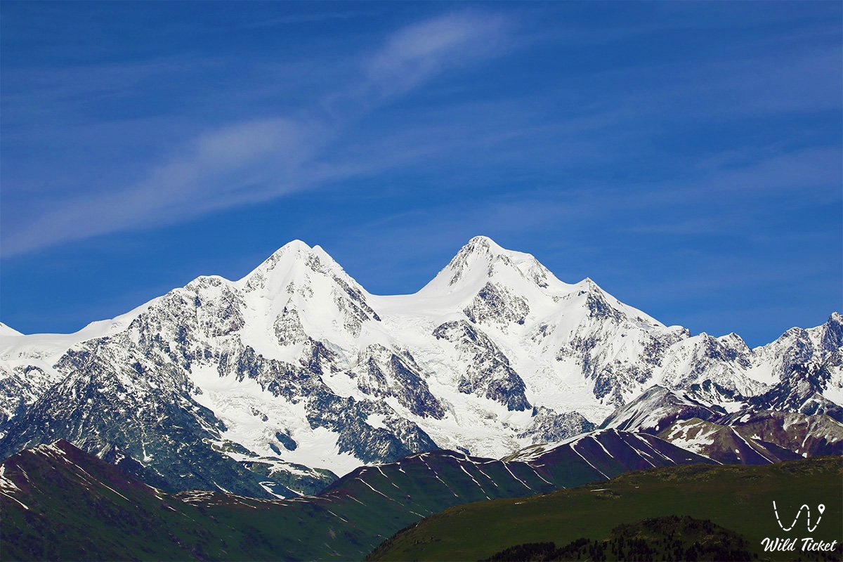
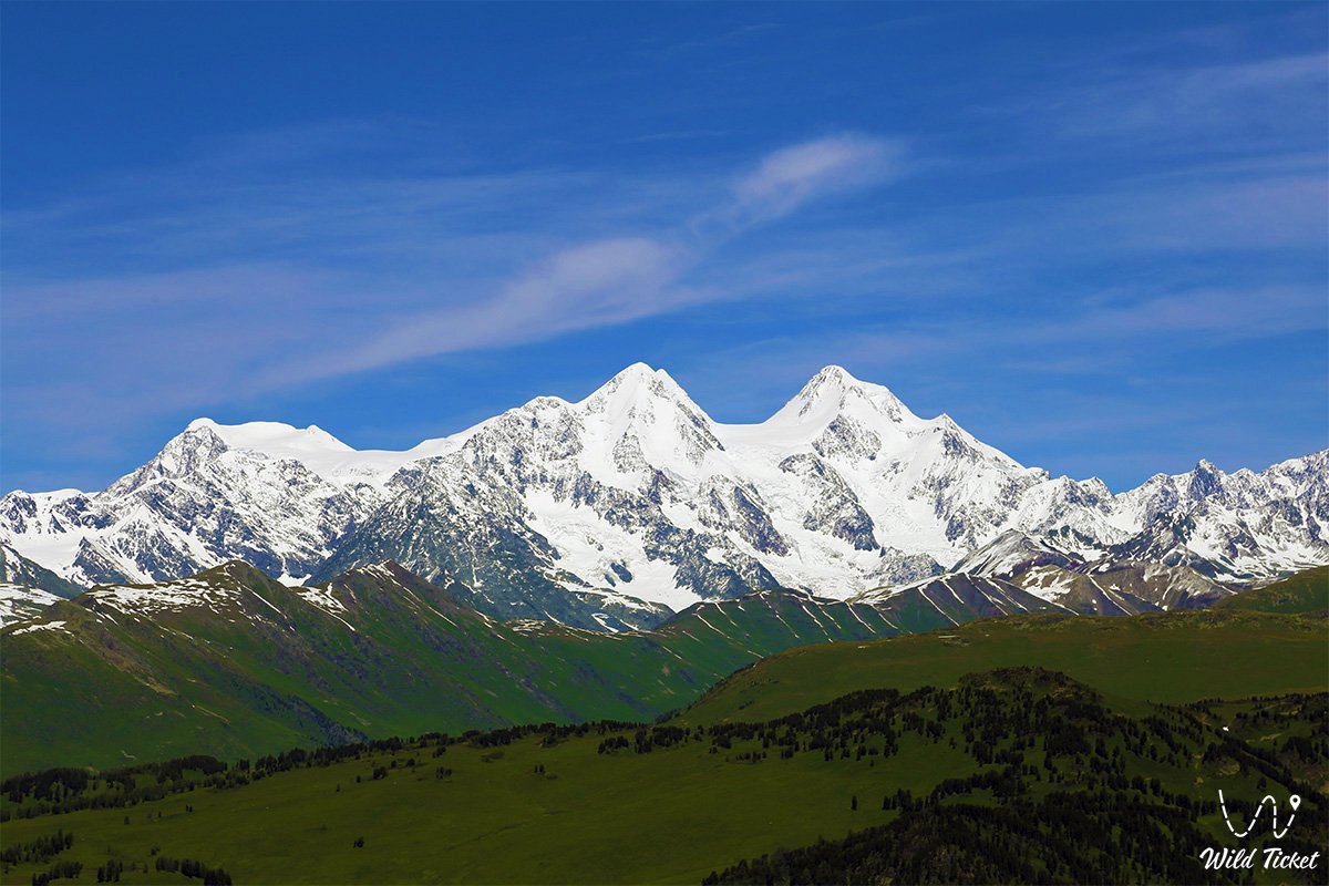
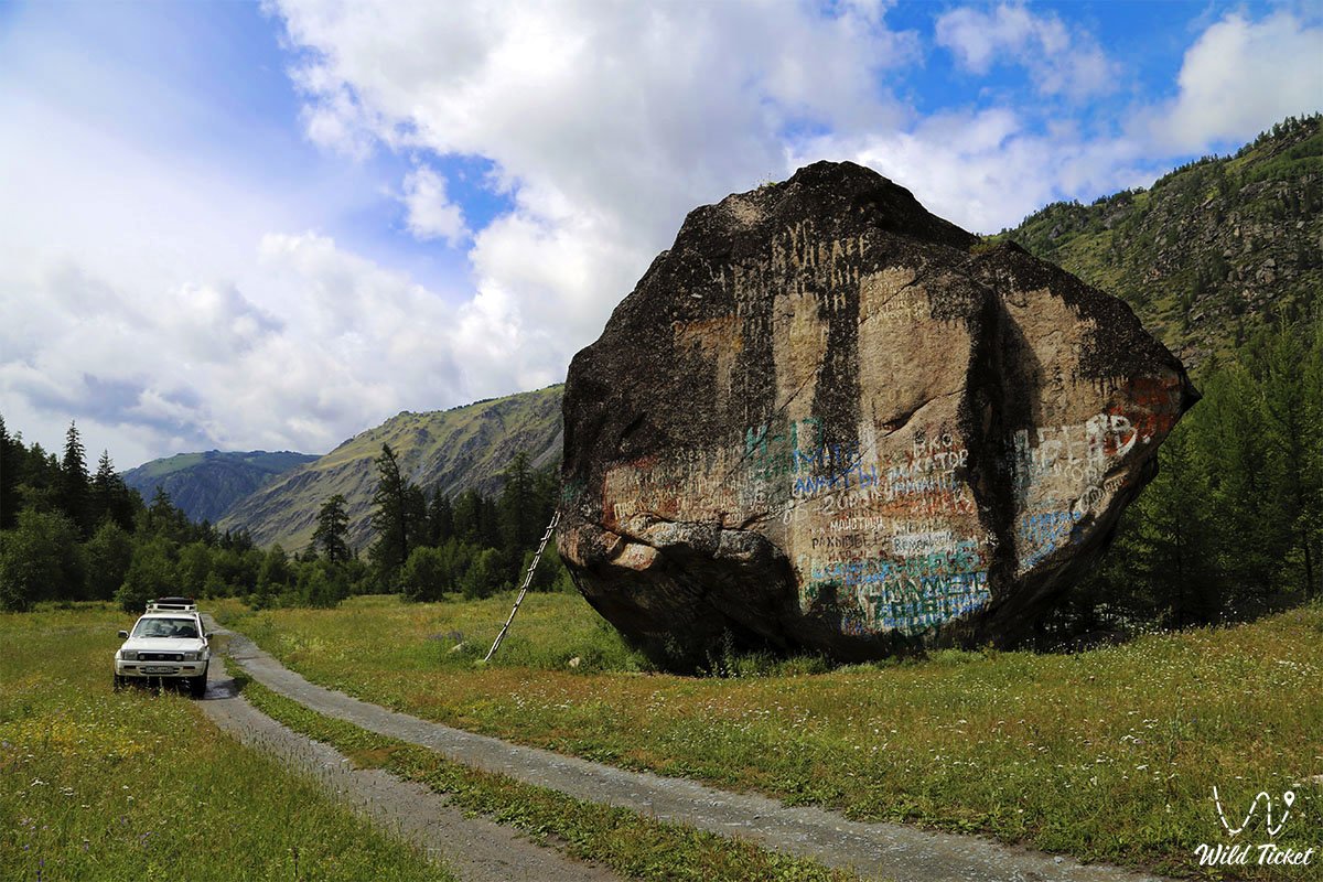
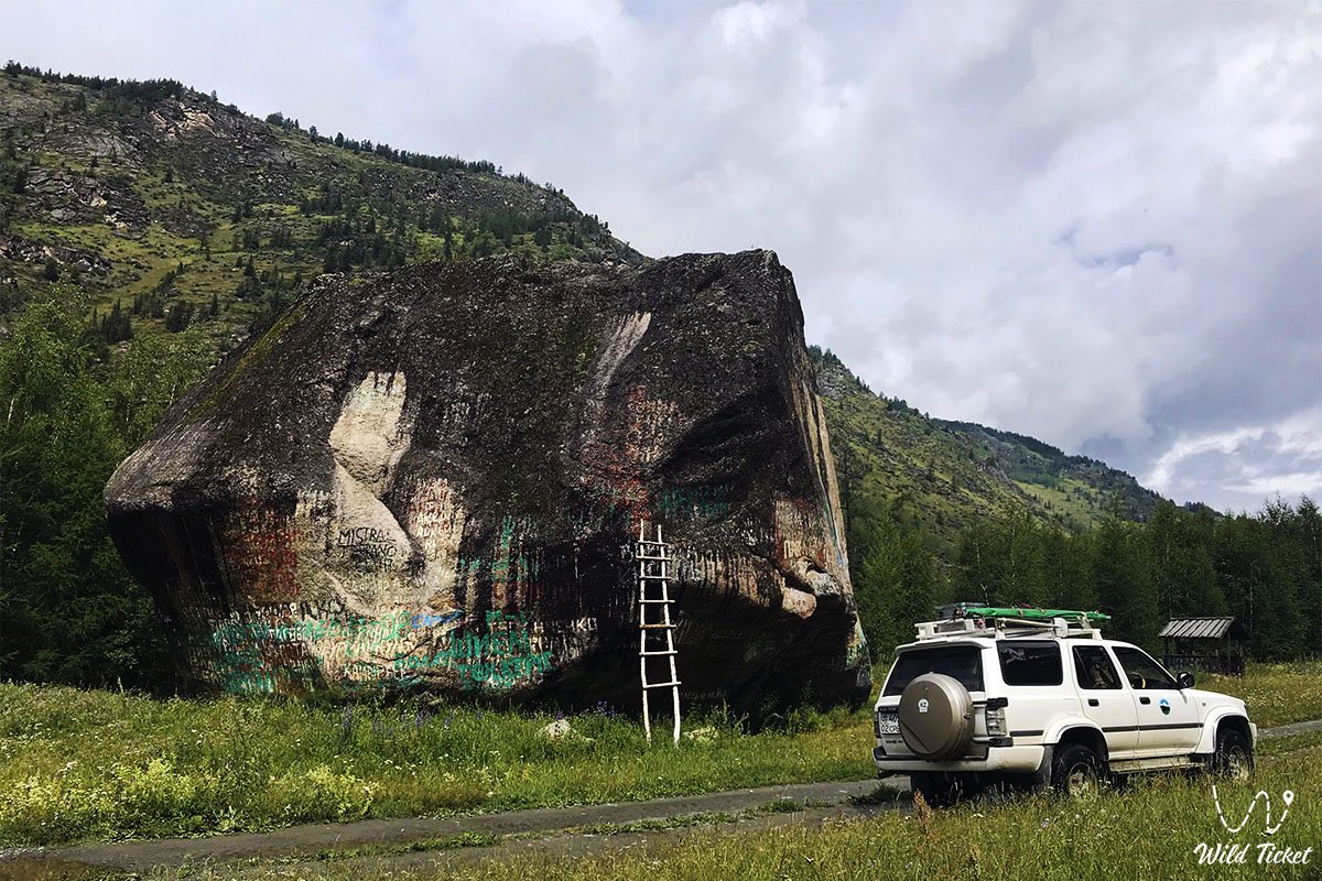
Attractions and features
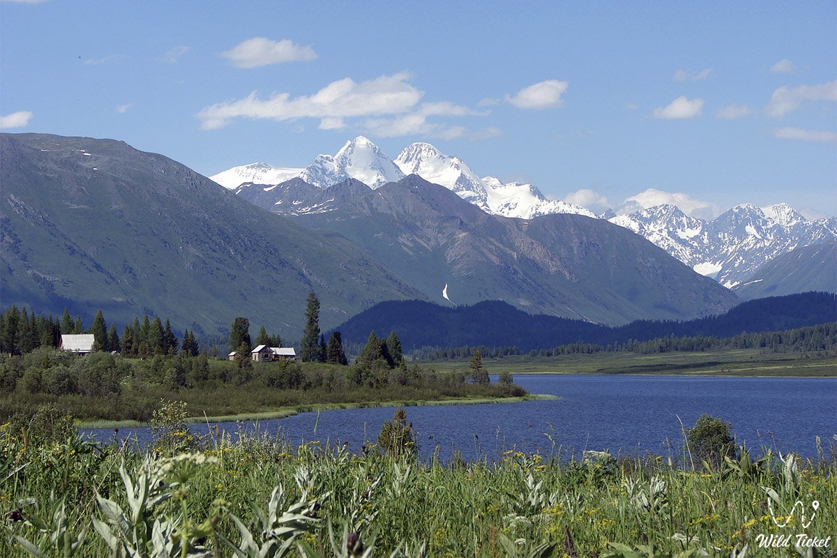
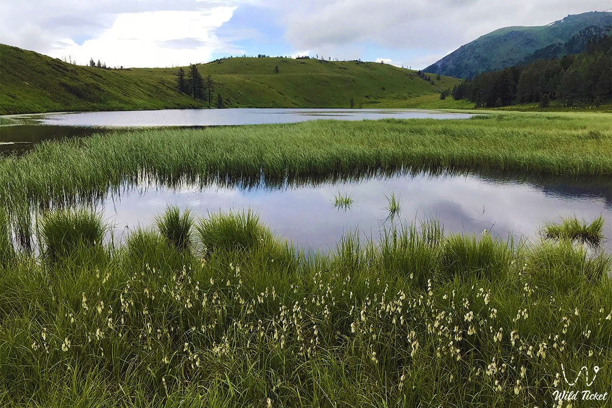
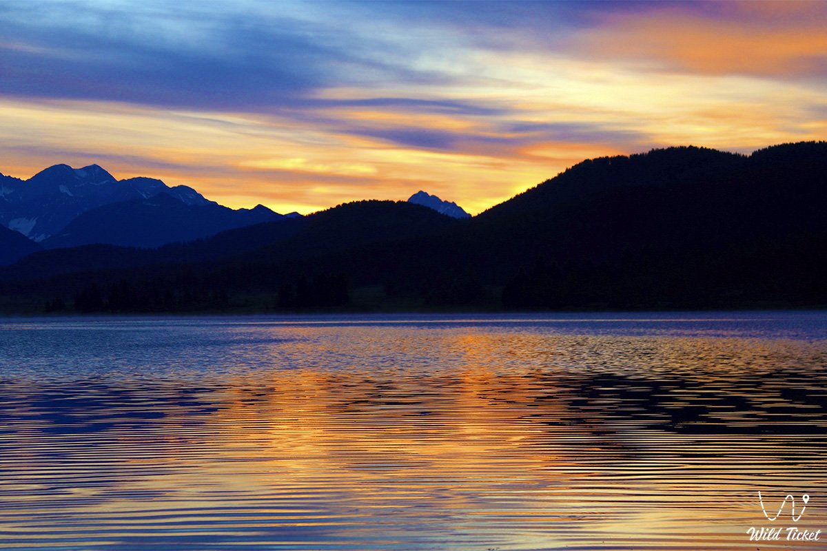
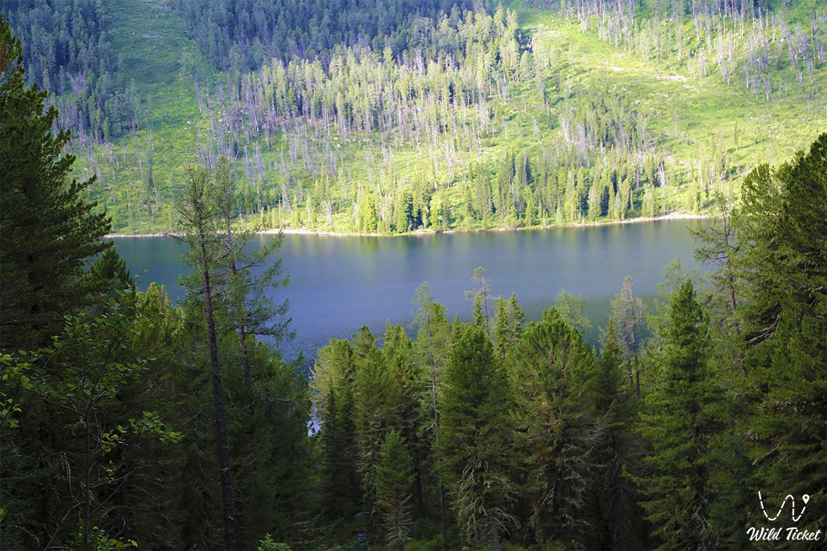
Katon-Karagay is a paradise for nature lovers. Here is the Katon-Karagay National Park, which includes protected areas, alpine meadows, lakes and forests.
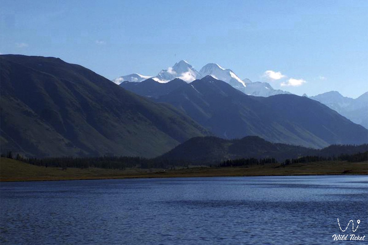
Mount Belukha (4506 m): the highest point of the Altai Mountains, a favorite place for climbers and travelers.
Lake Rakhmanov: at the foot of Mount Belukha is this beautiful mountain lake, famous for its hot springs and picturesque views.
Berel burial mounds: an archaeological site from the Scythian era, located near the village of Berel.
Cultural heritage
Katon-Karagay district is not only nature, but also a rich history. Here, the traditions of Kazakh culture, the hospitality of local residents and unique crafts have been preserved. Ecological tours and ethnographic excursions provide an opportunity to get to know the life and everyday life of the region better.
Katon-Karagay is an ideal place for those who seek solitude, inspiration and communication with untouched nature. Here you can take a break from the bustle of the city, enjoy the grandeur of the mountains and discover the natural wealth of Eastern Kazakhstan.
Photogallery: