River Trips in East Kazakhstan -
Rafting and Kayaking on the Ulba River in Kazakhstan Altai -
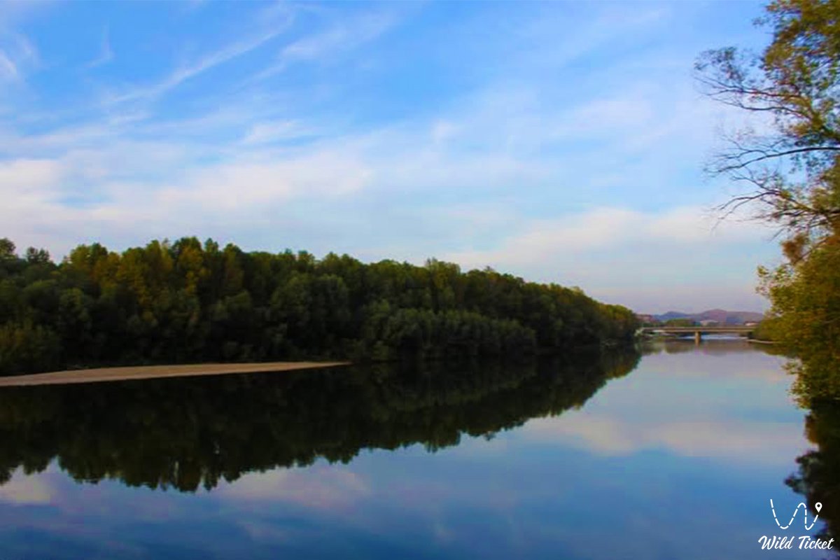
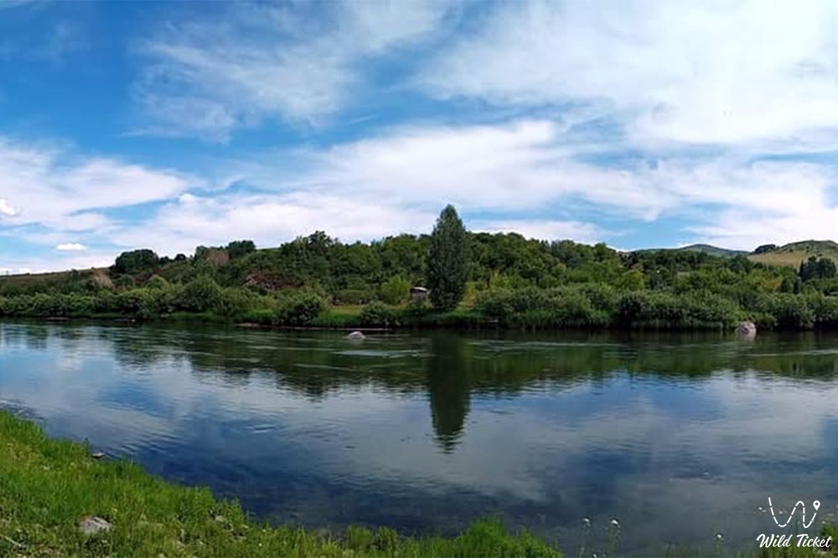
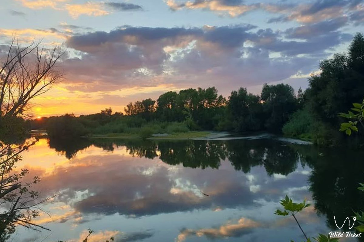
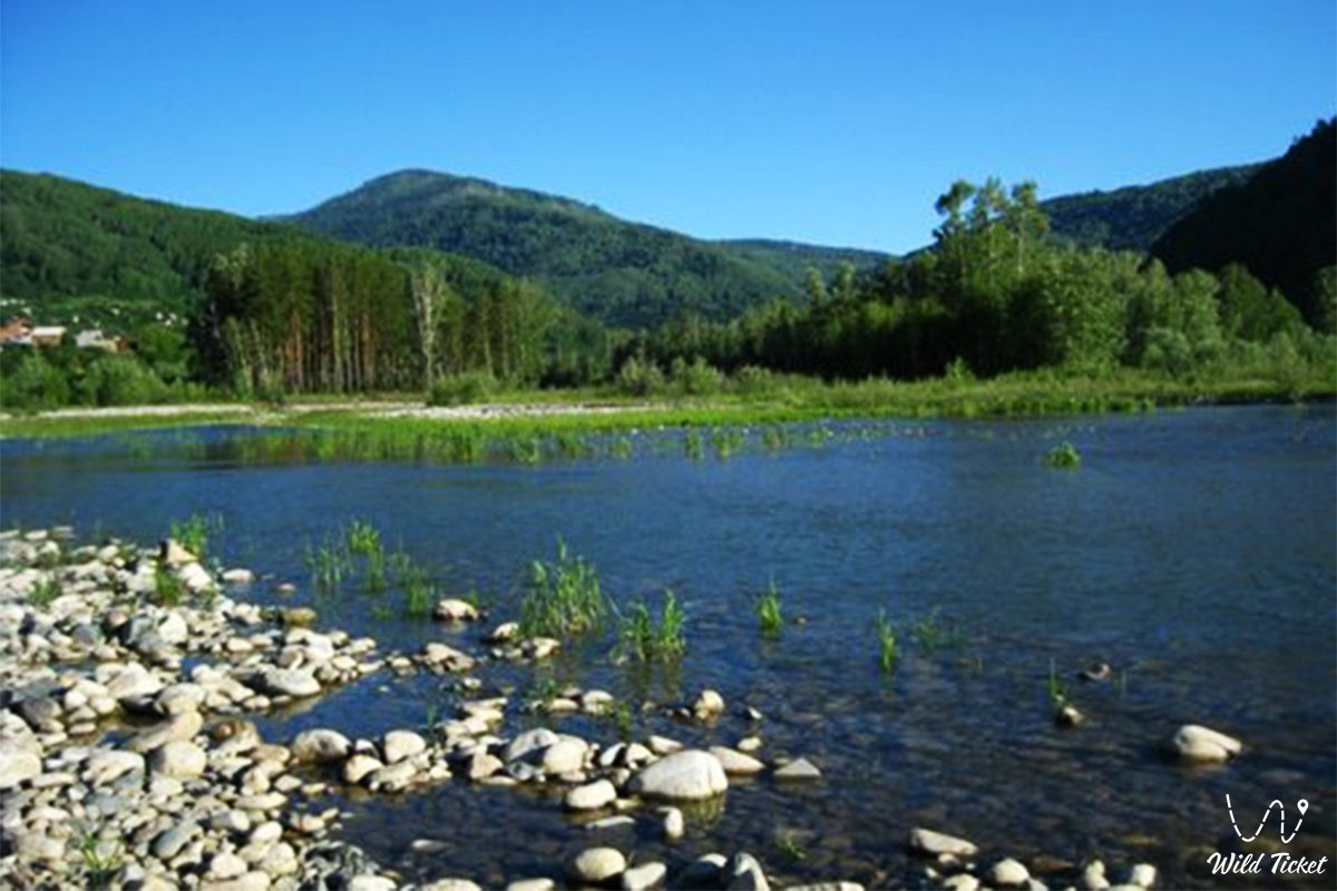
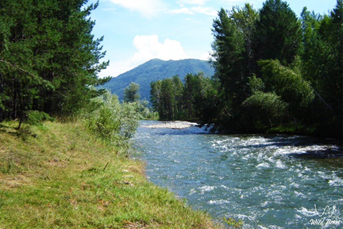
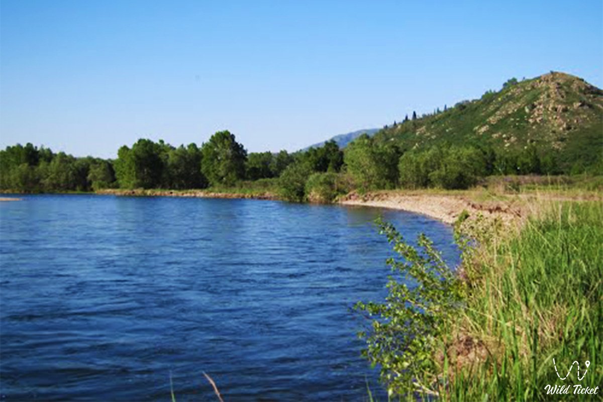
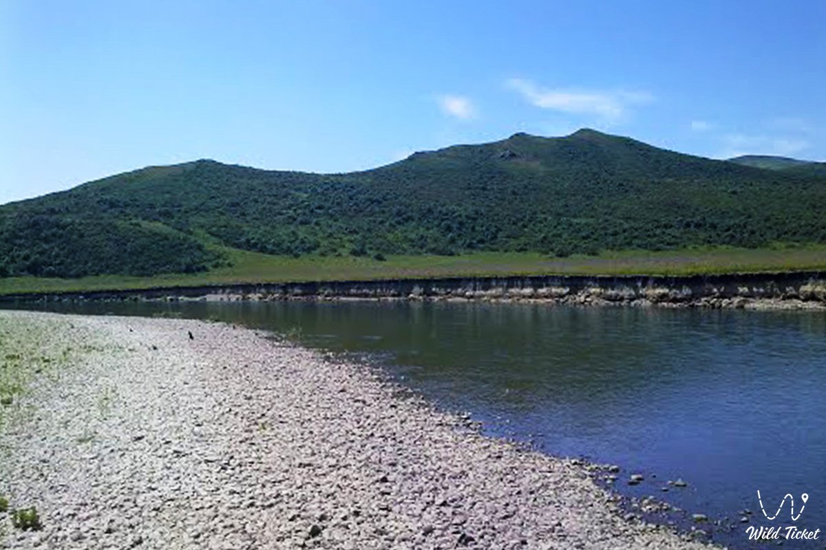
The Ulba River is a natural treasure of East Kazakhstan, a right tributary of the Irtysh, flows in the East Kazakhstan region and is one of the key rivers of the region. Its length is about 100 kilometers, and its sources originate in the Altai Mountains, where the river collects its waters from many mountain streams. The river flows through Ust-Kamenogorsk, the largest city in the region, and flows into the Irtysh River, enriching it with crystal clear mountain waters. It is formed by the Gromotukha River and the Tikhaya River. The river is famous for its picturesque banks, a variety of natural landscapes and opportunities for active recreation. This is an ideal place for travelers who want to enjoy the beauty of the Southern Altai and immerse themselves in an atmosphere of peace and tranquility.
---------------------------------------------
How to get there and visit -
The Ulba River is located near the city of Ust-Kamenogorsk, the territory of the East Kazakhstan region, the Republic of Kazakhstan.
GPS coordinates: 49°58'23"N 82°37'43"E
---------------------------------------------
River tourism
The Ulba River offers tourists many options for active and relaxing recreation:
Rafting and kayaking: The mountainous sections of the river with fast currents and rapids create excellent conditions for extreme water sports.
Hiking routes: The landscape along the river is rich in coniferous forests, rocky cliffs and alpine meadows. Tourists can explore the surroundings, climbing to observation platforms to enjoy views of the river valley.
Fishing: The river is rich in fish, especially grayling and trout. Fishing here becomes a real rest for the soul.
Outdoor recreation: There are camping areas along the river where you can pitch a tent, make a fire and spend time away from the bustle of the city.
Nearby attractions
Mount Lineyka: A popular place for hiking with stunning views of the Ulba Valley and the surrounding mountains.
Ust-Kamenogorsk Hydroelectric Power Station: An impressive hydraulic structure located at the confluence of the Ulba and the Irtysh.
Rock "Stone Frog": A unique natural landmark located near the river.
Museums of Ust-Kamenogorsk: The city is rich in history and cultural monuments, including the regional museum of local history and the art museum.
Information
The Ulba River is famous not only for its natural beauty, but also for its rich history. The banks of the river have long been inhabited by people, and the area around was used for agriculture and fishing. Today, the river retains its importance, attracting tourists and nature lovers. The river waters are moderately hard, suitable for everyday use and agriculture. Along its course there are cozy villages, guest houses and recreation centers that offer comfortable accommodation for tourists. The Ulba River is a place where mountain landscapes and noisy river streams merge together, creating a unique atmosphere. Regardless of whether you are looking for extreme or a relaxing holiday, the river will give you unforgettable impressions and memories!
Photogallery: