Akmysh Tract
Relict oasis of freshwater springs and a man-made garden of centuries-old groves –
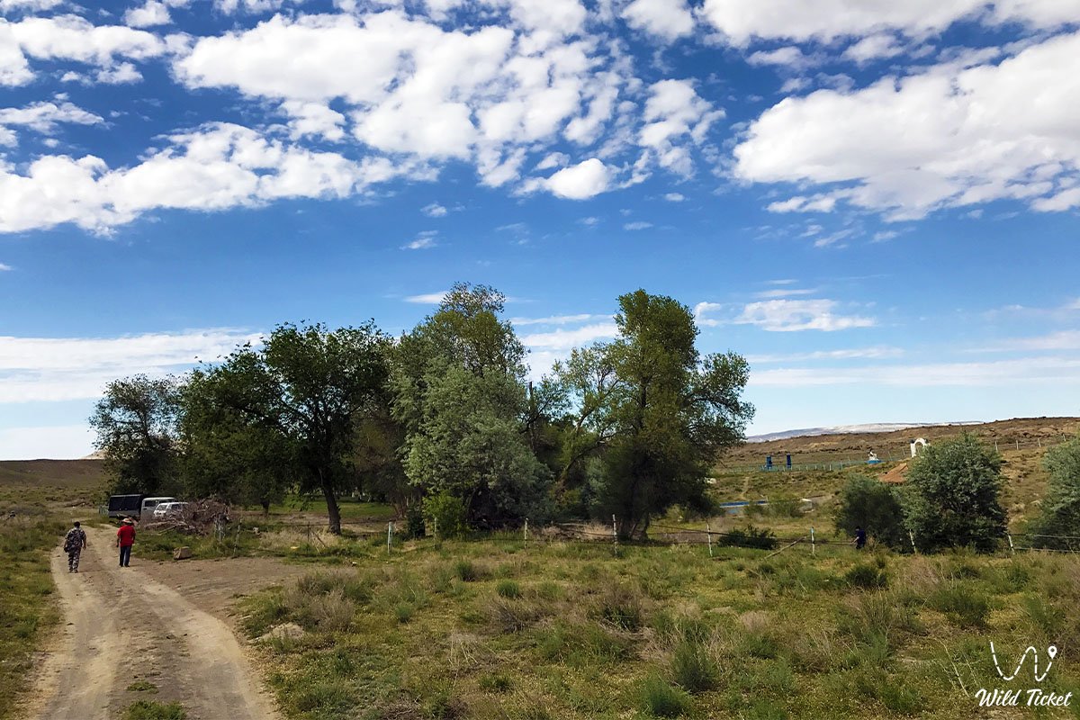
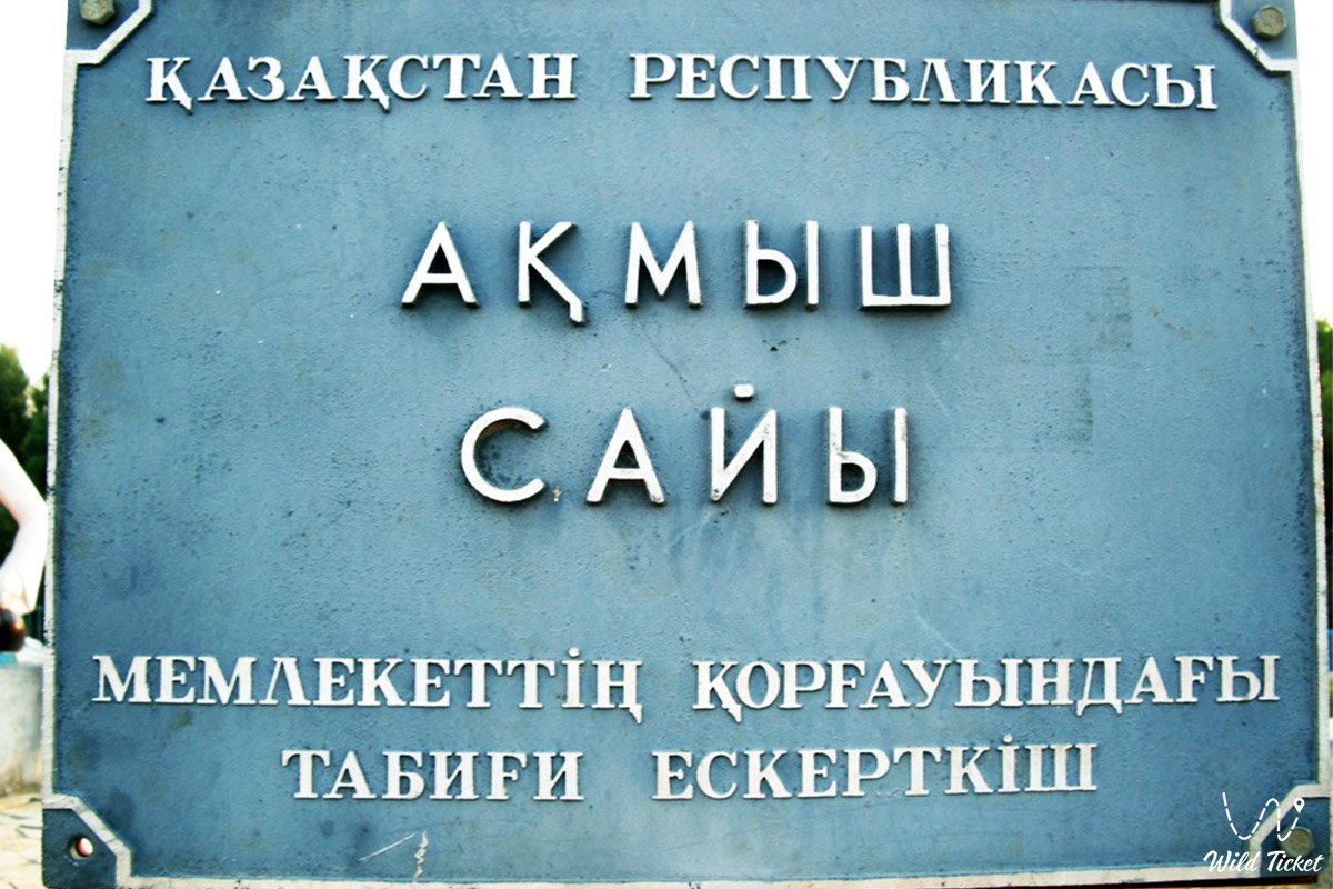
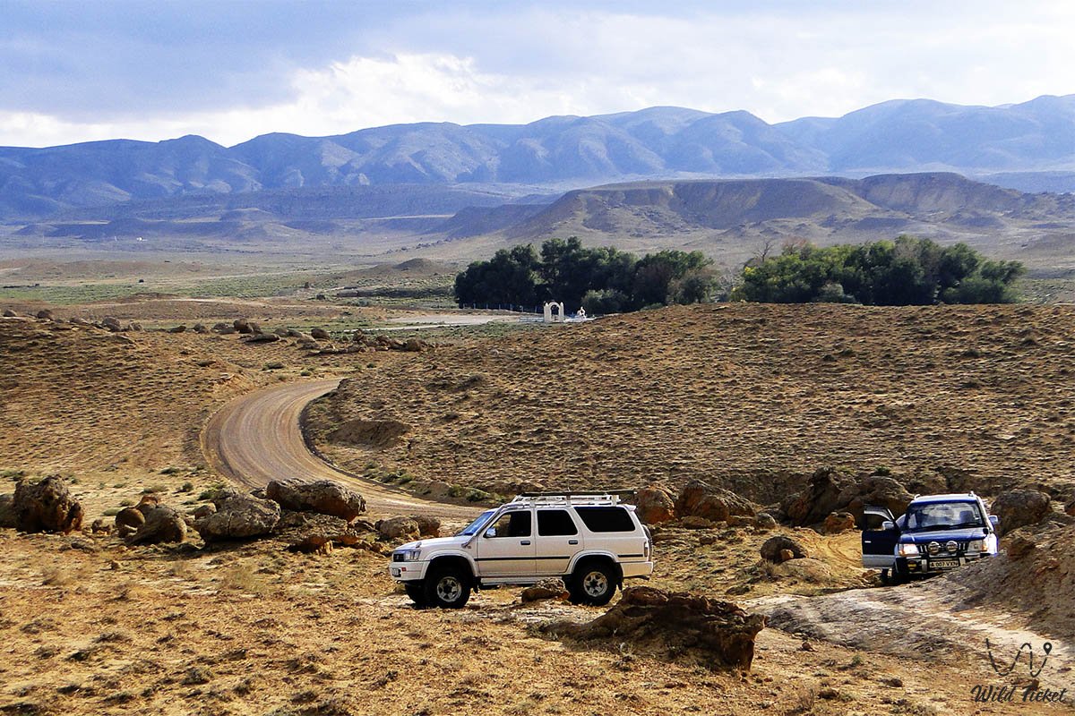
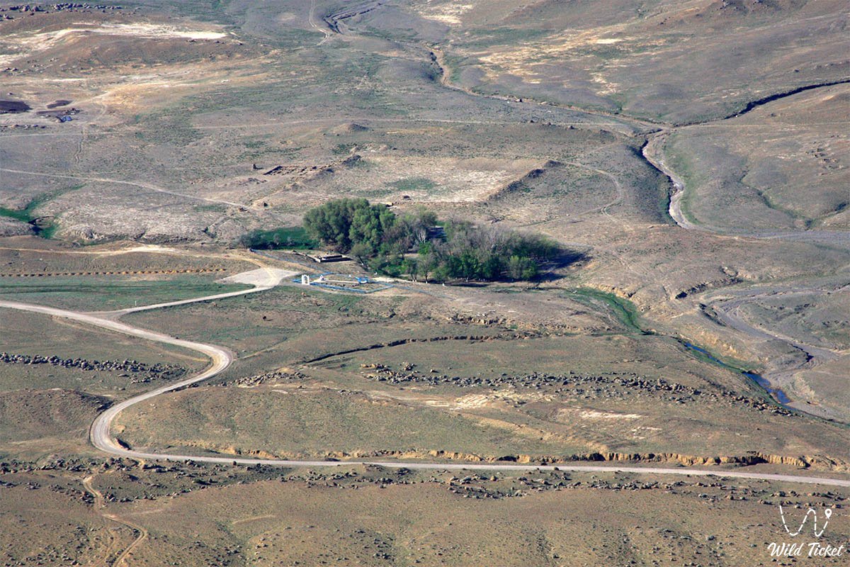
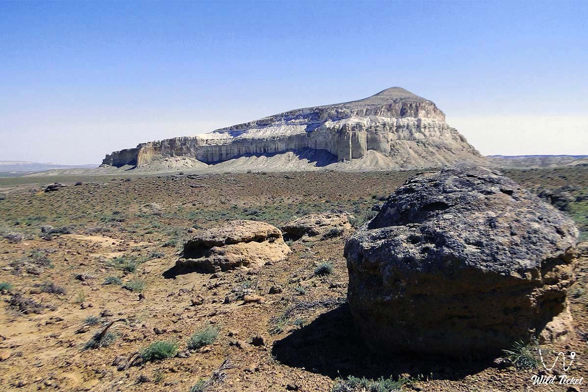
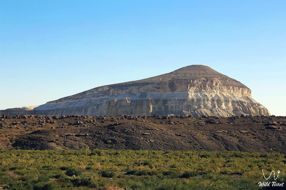
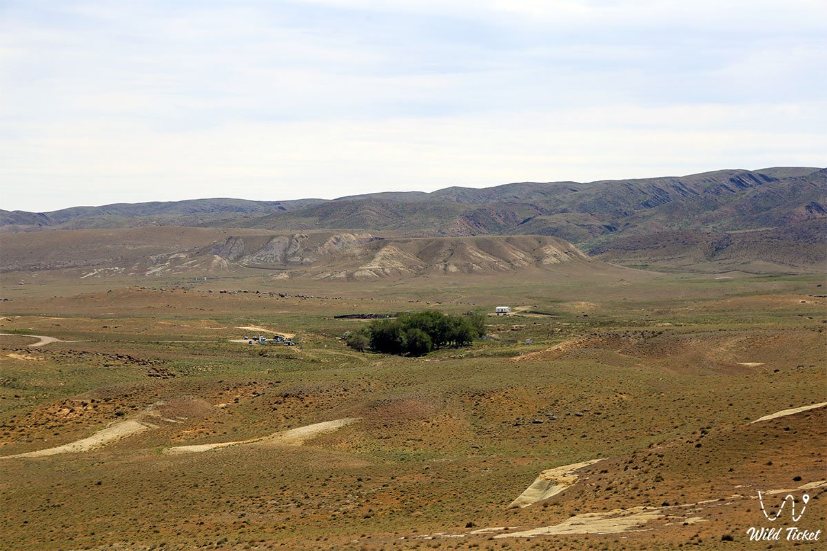
The Akmysh Tract (Akmysh Say, Kaz. Aqmysh sai'y) represents a picturesque spring-fed oasis, a deep mountain valley, and an outstanding historical and natural monument situated in the Mangystau district of the Mangystau region. The valley is cradled within an intermontane basin between the Western and Northern Aktau ridges, directly at the foot of legendary Mount Sherkala ("Lion's Fortress").
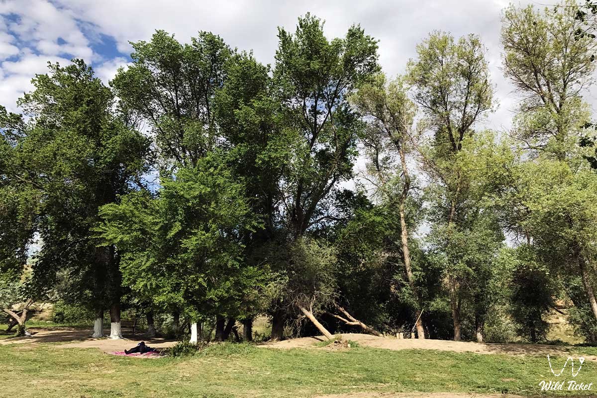
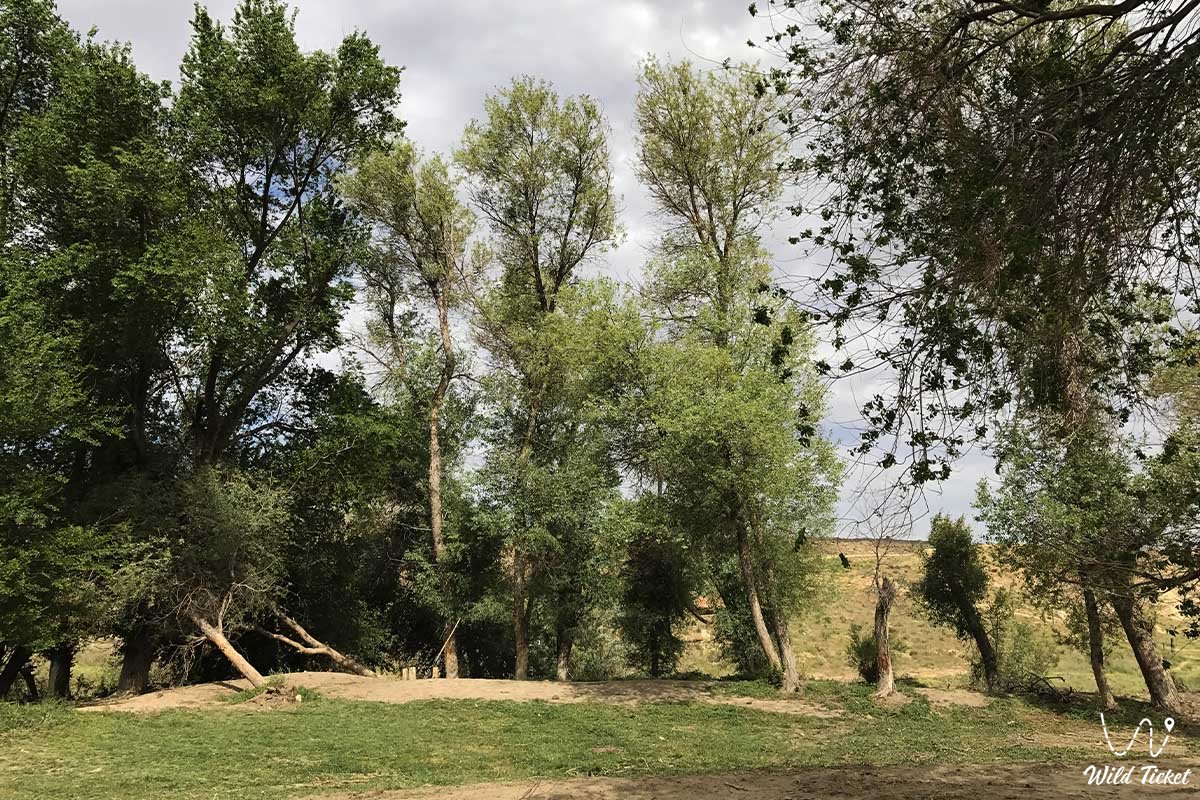
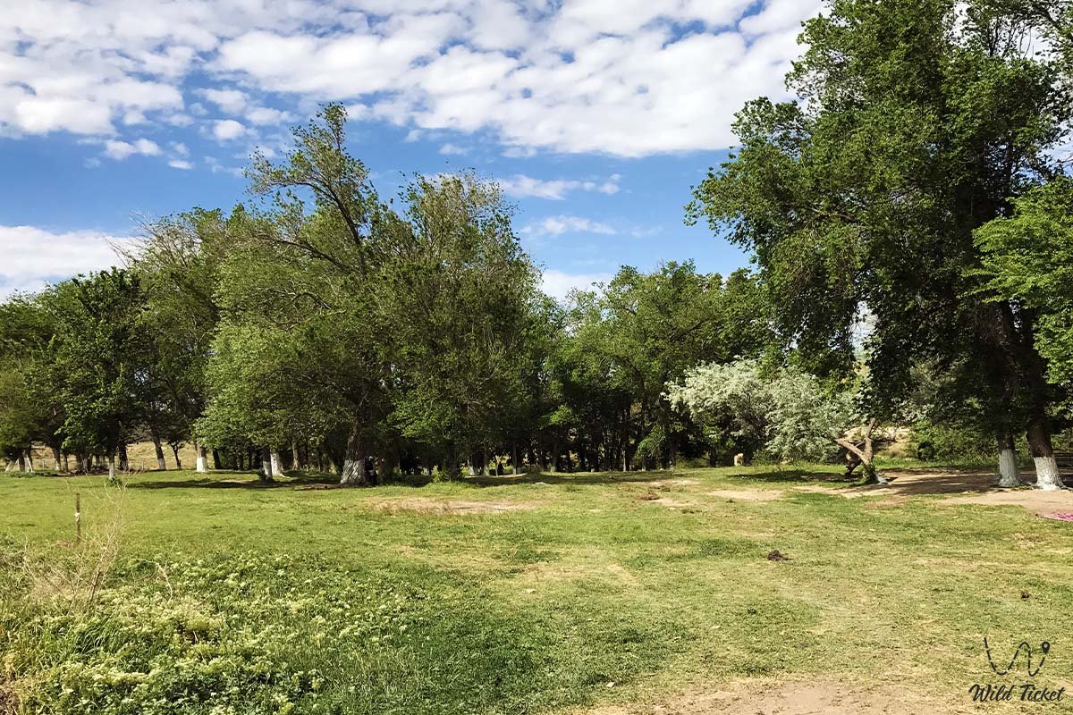
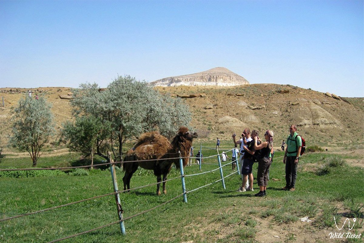
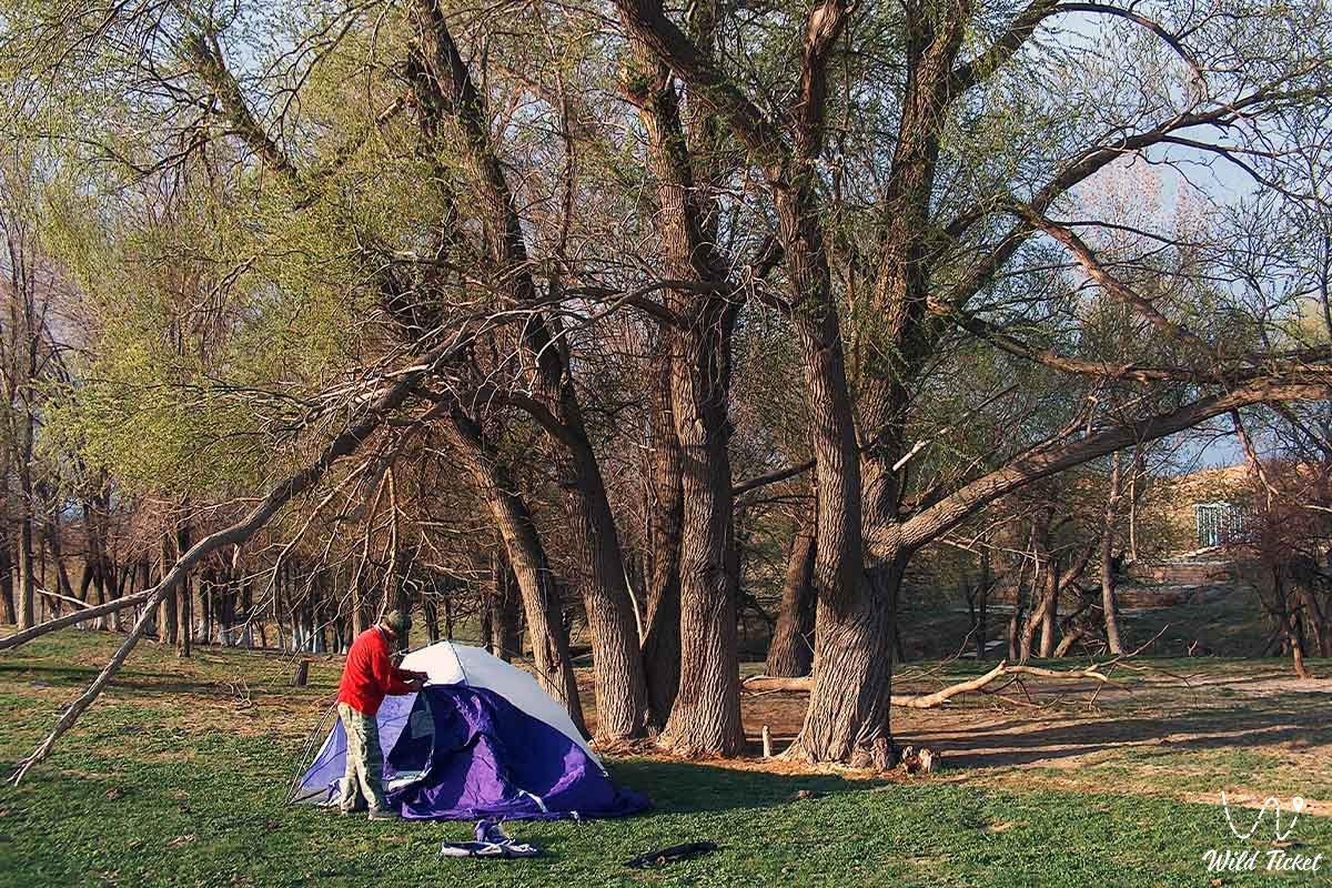
Amid the sun-scorched stony semi-deserts and chalk highlands of Central Mangyshlak, the Akmysh tract stands out as a dense green haven of relict trees nourished by copious freshwater springs. Beneath the canopy of centuries-old elms, black poplars, and willows flows a perennial cool brook that forms charming pools and sustains a flourishing oasis.
The tract possesses immense historical and archaeological value: situated right at the entrance to Akmysh Say are the ruins of the medieval fortified city of Kyzyl-Kala (10th–13th centuries) – an essential commercial bastion and caravanserai along the northern branch of the Great Silk Road connecting Khwarazm with the Volga basin.
In the mid-19th century, the oasis served as a base camp for regional expeditions, and the exiled poet and artist Taras Shevchenko immortalized the beauty of Akmysh's shady groves in his famous watercolors and drawings.
Today, the Akmysh Say tract is recognized as one of the focal travel hubs of Mangystau, combining nature retreats beneath ancient trees, explorations of the ancient caravan fortress, and ascents to the vantage points of Mount Sherkala into a unified itinerary. Located nearby is the mountain tract of Airakty (Shomanay – Valley of Castles).
--------------------------------------------
How to get there and visit –
The Akmysh Say tract is located in the central part of the Mangystau region, roughly 18–20 km northwest of the district center – the settlement of Shetpe, 170–180 km northeast of the regional center – the city of Aktau, and just 1.5–2 km southwest of Mount Sherkala, Republic of Kazakhstan.
GPS geographical coordinates of the Akmysh Say oasis:
44°14'53"N 51°59'15"E
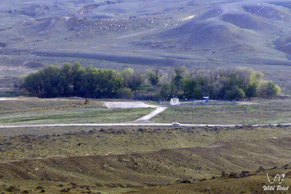
The main driving route from Aktau follows the paved highway of republican significance Aktau – Shetpe – Beyneu. Upon reaching the turnoff for Shetpe, head north toward the village of Shayyr. A few kilometers past the settlement of Zharmysh and Mount Sherkala, a turnoff onto an unpaved road leads directly into the lush hollow of the Akmysh tract.
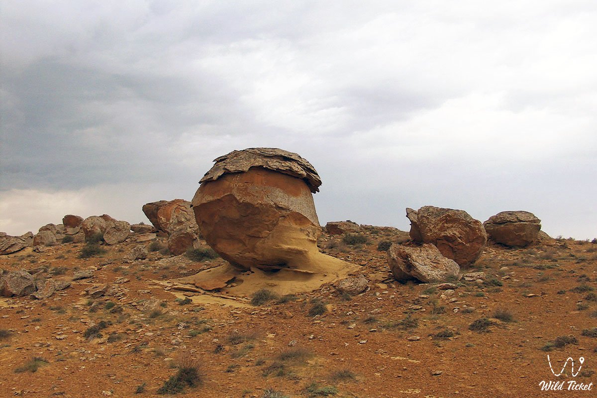
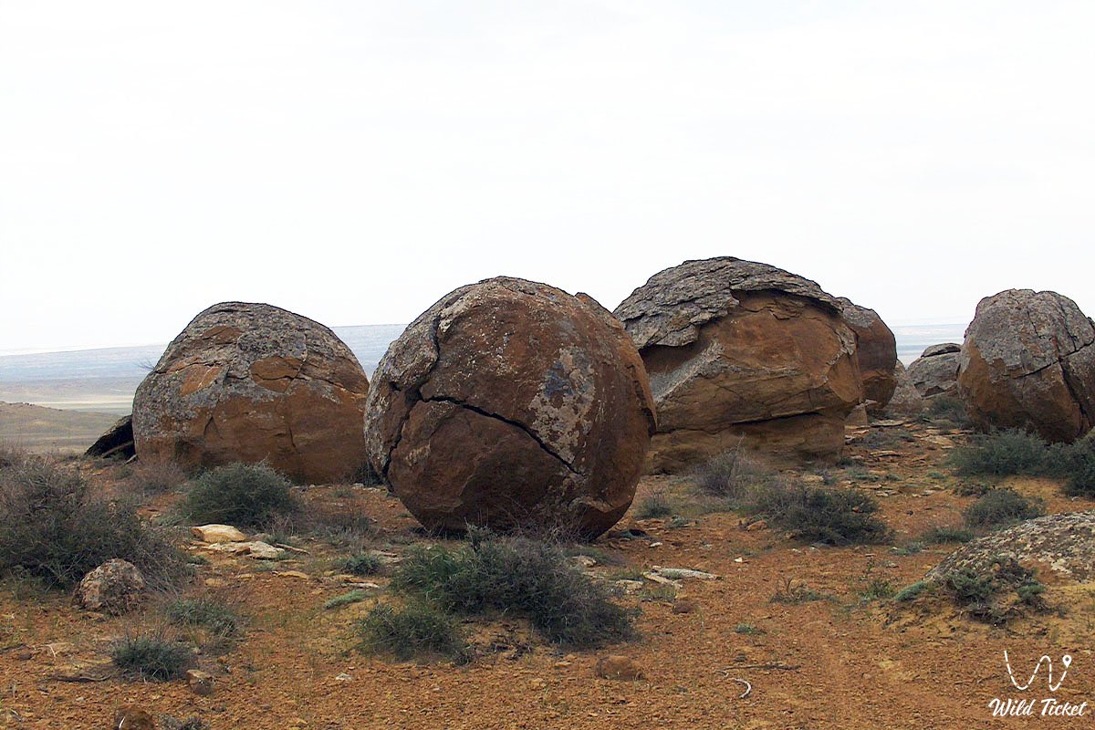
Thanks to its proximity to the paved motorway, accessing the shaded grove and springs of Akmysh during dry weather is straightforward in a standard passenger car or crossover. However, continuing on to explore the surrounding dirt tracks – such as driving to the spherical concretion valley of Torysh, the variegated clays of Kokkala, or the castle plateau of Airakty-Shomanay – strongly warrants a body-on-frame four-wheel-drive vehicle (4x4) with high ground clearance.
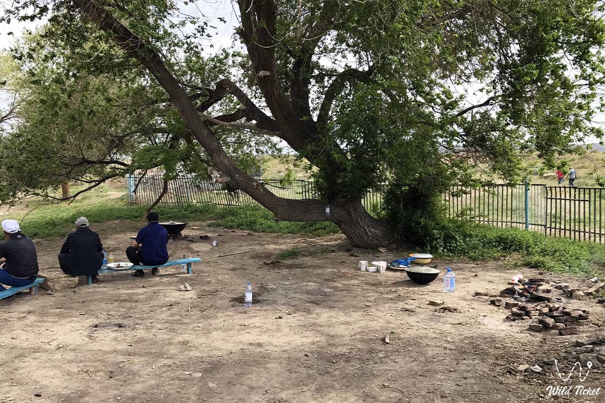
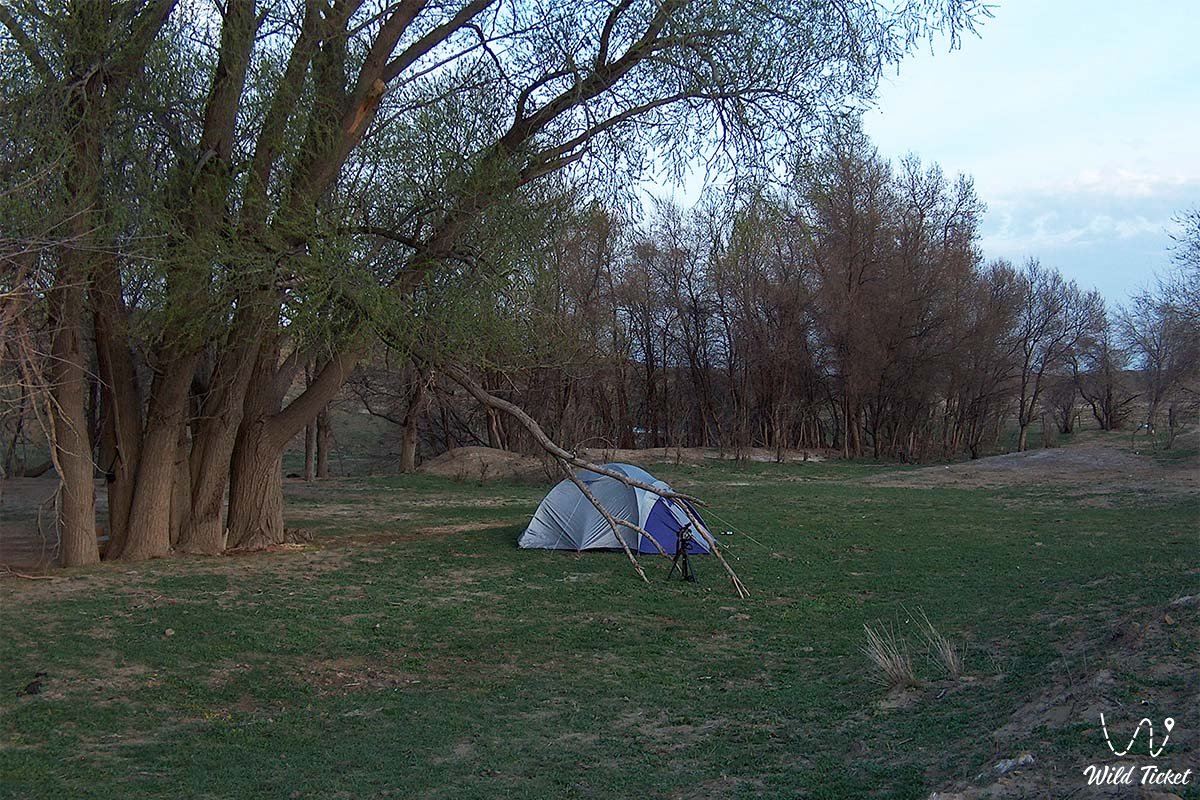
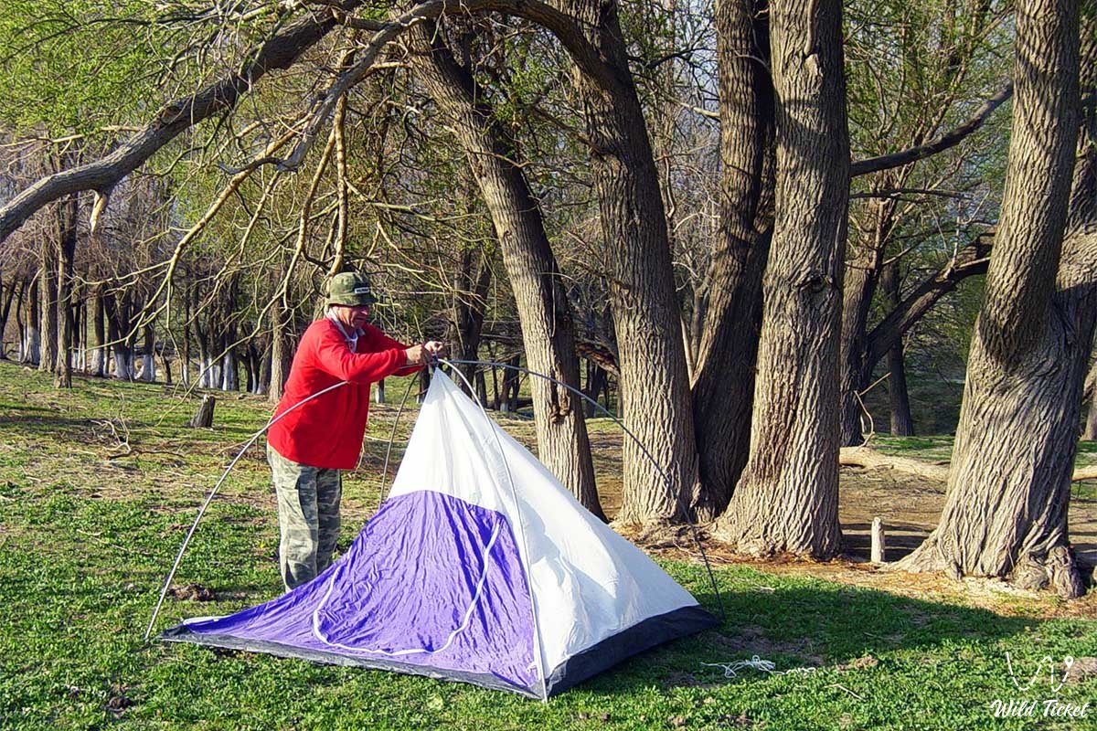
On-site infrastructure in the tract caters to travelers: wooden gazebos, tables, and benches are installed for road-trippers and picnickers. Operating near the tract is the popular Kogez ethno-village, offering overnight lodging in traditional yurts, regional culinary specialties, and modern conveniences.
The nearest gas stations, shops, tire repair shops, and vehicle service facilities are located in the settlement of Shetpe. Fresh drinking water can be drawn right from the brook, though boiling before consumption is recommended.
When visiting the oasis, environmental regulations must be strictly respected: felling live branches from ancient trees, lighting campfires outside of designated fire rings, littering, and washing vehicles in the stream are strictly prohibited.
The best time to visit is spring (from late April to early June), when the steppe is blanketed in emerald greenery and wild blooms while the spring flow is at its peak, alongside the velvet autumn season (September – October). During hot summer months (July – August), the tract offers a vital sanctuary from desert heat, as the dense elm canopy maintains a comfortable microclimate even when ambient temperatures in open sun climb above +40 °C.
--------------------------------------------
History
The history of the Akmysh Say tract is closely tied to transcontinental commerce and the defensive ramparts of nomadic empires. A perennial freshwater supply and natural mountain protection made the tract a strategic hub along the Khiva branch of the Great Silk Road, linking ancient Khwarazm, Khiva, and Urgench with the Caspian roadsteads of Sarytash and the lower reaches of the Volga River.
In the 10th century, the Khwarazmshahs founded the major fortified trade city of Kyzyl-Kala ("Red City") at the entrance of the gorge. The city featured a formidable citadel with towers built of baked brick and stone, caravanserais, craft quarters, and an irrigation canal system fed by the waters of the Akmysh brook. The town flourished through the trade of silk, spices, ceramics, and weapons until the Mongol invasion led by Genghis Khan's forces in the early 13th century, when the fortress was captured and burned.
A renewed era of exploration began in the 19th century. In 1851, the Akmysh Say tract served as the base camp for the notable Karatau military-scientific expedition directed by mining engineer Captain A. I. Antipov. Exiled Ukrainian poet and artist Taras Shevchenko took part in the expedition. Captivated by the contrast between the white chalk cliffs of Sherkala and the emerald verdure of the spring grove, Shevchenko spent weeks here producing a suite of plein-air drawings, sketches, and watercolors documenting Akmysh's elms and the life of Kazakh encampments.
During the Soviet era, the Akmysh oasis was surveyed by archaeological teams from the Academy of Sciences of the Kazakh SSR. In the late 20th and early 21st centuries, joint Kazakhstani-Russian expeditions from the A. Kh. Margulan Institute of Archaeology conducted extensive excavations at the Kyzyl-Kala settlement, unearthing Khwarazmian coins, glazed ceramics, and metallurgical furnaces, thereby corroborating Akmysh's standing as a premier center of ancient urbanization on Mangyshlak.
Information
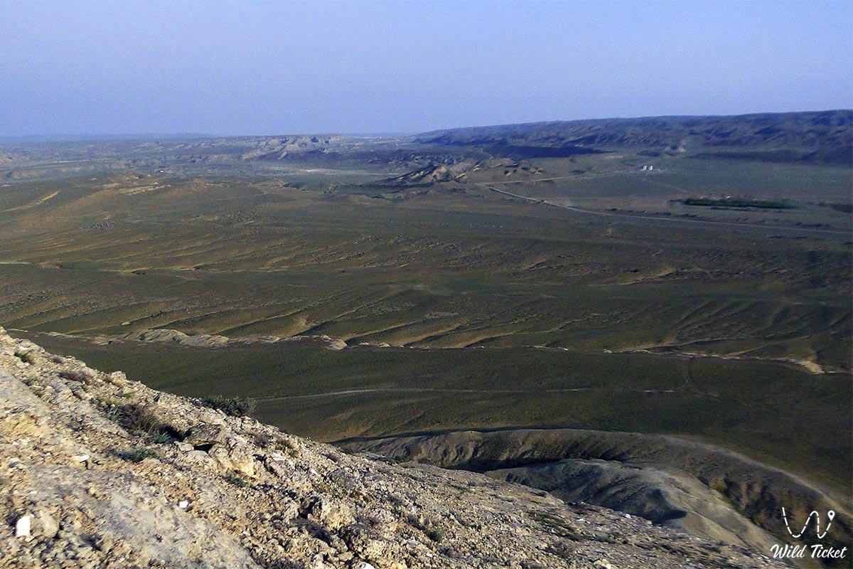
Geomorphologically, the Akmysh Say tract represents an erosional mountain ravine and canyon-like valley incised into sedimentary formations of the Northern Aktau intermontane depression. The terrain sits at elevations between 150 and 220 meters above sea level.
The geological cross-section of the valley consists of Cretaceous and Paleogene limestones, marls, gray and variegated clays, and sandstones. Outcrops along the flanks of the say contain abundant fossils of the prehistoric Tethys Ocean: belemnite rostra, fossil bivalve shells, and ammonite casts.
The hydrological foundation of the oasis is a group of ascending unconfined springs draining fractured limestone and sandstone aquifers of Karatau. The springs coalesce into the continuous Akmysh Say brook, which winds over a gravel bed for several hundred meters before filtering into the alluvial deposits of the plain. The temperature of the spring water remains steady year-round at approximately +12...+15 °C.
The climate of the area is sharply continental and arid semi-desert. However, shielded by the walls of Mount Sherkala, evaporative cooling from the brook, and the dense tree canopy, Akmysh Say generates a mild oasis microclimate characterized by reduced diurnal temperature swings and elevated humidity.
Detailed description of the venue
The natural, historical, and recreational complex of the Akmysh Say tract encompasses the following focal zones:
• Relict grove of ancient trees – a shaded woodland corridor lining the stream bed. The core of the grove consists of centuries-old elms (Ulmus pumila), black poplars, and silver willows with massive gnarled trunks, providing dense relief from the blazing sun.
• Akmysh spring and brook – a freshwater spring welling up at the base of rocky benches. Clear, cool water courses over a gravel bed, forming quiet pools edged by lush grasses and wild mint.
• Medieval Kyzyl-Kala settlement – a 10th–13th-century archaeological monument situated at the mouth of the gorge. Visible on site are the eroded ramparts of the citadel, stone and adobe wall foundations, remnants of a caravanserai, and segments of an ancient canal network dating to the height of the Silk Road.
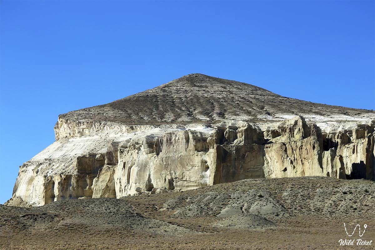
• Panoramic vistas of Mount Sherkala – scenic vantage points along the rim of the tract offering classic views of the solitary table mountain Sherkala, which evokes a giant yurt from one angle and a resting lion from another.
• Shevchenko memorial landmarks – historical clearings in the grove where the 1851 Karatau expedition pitched camp and where Taras Shevchenko painted his well-known Mangyshlak landscapes.
• Recreation area and tourist campsite – an outfitted sector with gazebos, fire rings, and vehicle parking serving as a launch pad for walking day treks around Sherkala.
Flora and fauna
The plant cover of the Akmysh tract presents a marked divergence between the moisture-loving flora of the ravine floor and the drought-tolerant communities on the surrounding plateaus. The tree canopy is formed by elms, black poplars, Russian olive, and willow stands. The understory features thickets of tamarisk, wild rose, hawthorn, and blackberry. Along the brook, wild mint, Ural licorice, horsetail, bulrush, reed, and plantain flourish. The enclosing rocky slopes are dominated by gray-soil wormwood, biyurgun, boyalych, and prickly camelthorn (dzhantak).
The wildlife of the oasis is remarkably diverse thanks to the reliable water source. Dozens of avian species nest in the tree canopies: great spotted woodpeckers, hoopoes, European rollers, turtle doves, Eurasian scops owls, Eurasian tree sparrows, and shrikes. Above the open cliff faces soar birds of prey – long-legged buzzard, steppe eagle, saker falcon, and kestrel.
Mammals inhabiting the environs of the oasis include the tolai hare, corsac fox, steppe polecat, long-eared hedgehog, badger, and various gerbil species. Wolves occasionally descend from the steppe to drink at night. Common reptiles include the steppe agama, Central Asian tortoise, toad-headed agama, sand boa, and dione snake. European green toads and aquatic beetles dwell in the calm pools of the stream.
Legend
A dramatic steppe legend concerning unyielding defenders is linked to the Akmysh tract and the towering summit of Mount Sherkala.
Tradition recounts that during an enemy invasion, hostile armies surrounded the city of Kyzyl-Kala and the citadel perched upon the mountain's peak. Outnumbered, the defenders withdrew onto the impregnable precipices of Sherkala. Within the core of the mountain, they carved a hidden vertical shaft reaching down to the subterranean springs of the Akmysh tract.
For months, the besieged warriors held out against furious assaults, invulnerable to arrows and free from thirst thanks to the water of Akmysh drawn up on ropes in leather skins. Stunned by their tenacity, the invading khan could not fathom how the warriors drew strength and water in the middle of a parched desert.
Eventually, a traitor disclosed the secret of the hidden shaft. The invaders blocked the underground passage with boulders, cutting the defenders off from water. Deprived of moisture beneath a relentless sun, the batyrs refused to capitulate. Fighting like enraged lions, they made their final stand upon the cliffs, perishing with honor. Moved by their valor, the nomads named the mountain Sherkala ("Lion's Fortress"), and the spring valley below it Akmysh ("White Flow"), whose waters are said to carry the unbending spirit of the ancient defenders of the homeland.
Conclusion
The Akmysh Say tract is the life-giving green heart of Mangystau, where cool spring waters unite with the storied heritage of the Silk Road and the artistic legacy of Taras Shevchenko. Resting beneath ancient elms, wandering the ruins of historic Kyzyl-Kala, and viewing the chalk cliffs of Sherkala leave an enduring impression of harmony and a connection to the timeless mysteries of the Kazakh land.
Interesting sights nearby:
• Kyzyltas Fortress (Fort Novoaleksandrovsk);
• Karagan Fortress;
• Altynkazgan Complex;
• Toksanbay Settlement;
• Koskuduk Petroglyphs;
• Stone Arrows of Ustyurt;
• Kanga Baba Fortress (Tubezhik);
• Koskuduk Town-Settlement;
• Ancient Aytman Town-Settlement;
• Airakty Petroglyphs;
Sacred sights and pilgrimage destinations:
• Kapasha Mosque;
• Karakoz Mausoleum;
• Koshkar-Ata Necropolis;
• Sherkala Necropolis on Mount Sherkala;
• Kenty-Baba Necropolis;
• Karaman-Ata Necropolis;
• Shopan-Ata Necropolis;
• Shakpak-Ata Necropolis;
• Sanctuary of Bayte;
• Beltoran Necropolis;
• Man-Ata Mausoleum;
• Kosmola Mausoleum;
• Kuyeutam Mausoleum.
Photogallery: