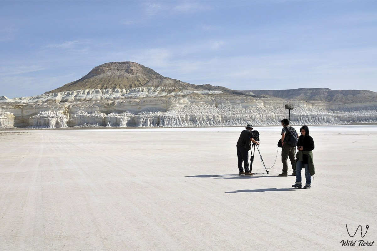
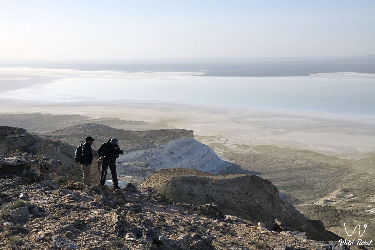
Mangyshlak Upland is a grand folded mountain system in Kazakhstan and the primary orographic ridge crossing the northern and central parts of the Mangyshlak Peninsula within the Mangistau Region. Hundreds of millions of years ago, this vast territory was the floor of the colossal prehistoric Tethys Ocean: as a result of the ancient sea waters retreating and subsequent massive tectonic uplifts, the former oceanic bed transformed into an expressive mountain chain.
Orographic and geologically, the upland forms the tectonic axis of the region extending over one hundred and thirty kilometers, rising above the adjacent structural plains and limestone plateaus elevated at one hundred and fifty to one hundred and seventy-five meters. In the center of this mountain realm rises the dominant peak of the entire peninsula – Mount Besshoky, with an absolute elevation of five hundred and fifty-six meters above sea level.
To the north, the upland borders the low-lying Buzachi Peninsula with its sandy expanses and salt marshes, while to the south lie the deepest endorheic depressions of the Caspian region, prominently featuring the grand Karagiye Depression at a depth of 132 meters below global sea level.
In expedition routes and tourist logistics of Mangystau, the Mangyshlak Upland serves as a pivotal connecting hub through which routes to all iconic eastern and western landscapes pass. Approximately one hundred and forty to one hundred and fifty kilometers to the southwest by road lies the city of Aktau, from where traveler caravans proceed through the village of Zhetybay toward the key transportation base – the village of Shetpe.
Literally a few kilometers from the mountain ridges of the upland, famous natural and historical landmarks begin: the sacred peak of Mount Otpan-Tau with the Aday-Ata complex, the relict butte – Mount Sherkala, the valley of castles in the Airakty Tract, the multicolored clays of the Kokala Tract, fields of spherical stones in the Torysh spherical concretion valley, Samal Gorge with a freshwater stream, the Kapamsay chalk canyon, Shakpaktysay Gorge with the limestone-carved Shakpak-Ata Underground Mosque, as well as the quiet Sarytash Bay and Tuzbair Salt Flat.
The orographic structure of the Mangyshlak Upland is composed of a series of prominent ranges: the central axial line is formed by the Western Karatau and Eastern Karatau and its westernmost extension, the low-mountain massif of Karatauchik. From the north and south, the dark ridges are flanked by the cuesta ranges of Northern Aktau and Southern Aktau, as well as the mountain ridges of Kaskyrzhol, Ushawyz, the meridional ridges of Akmaya and Myrzatay, and individual elevated massifs including Karakyz, Kaushe, and Yemdy.
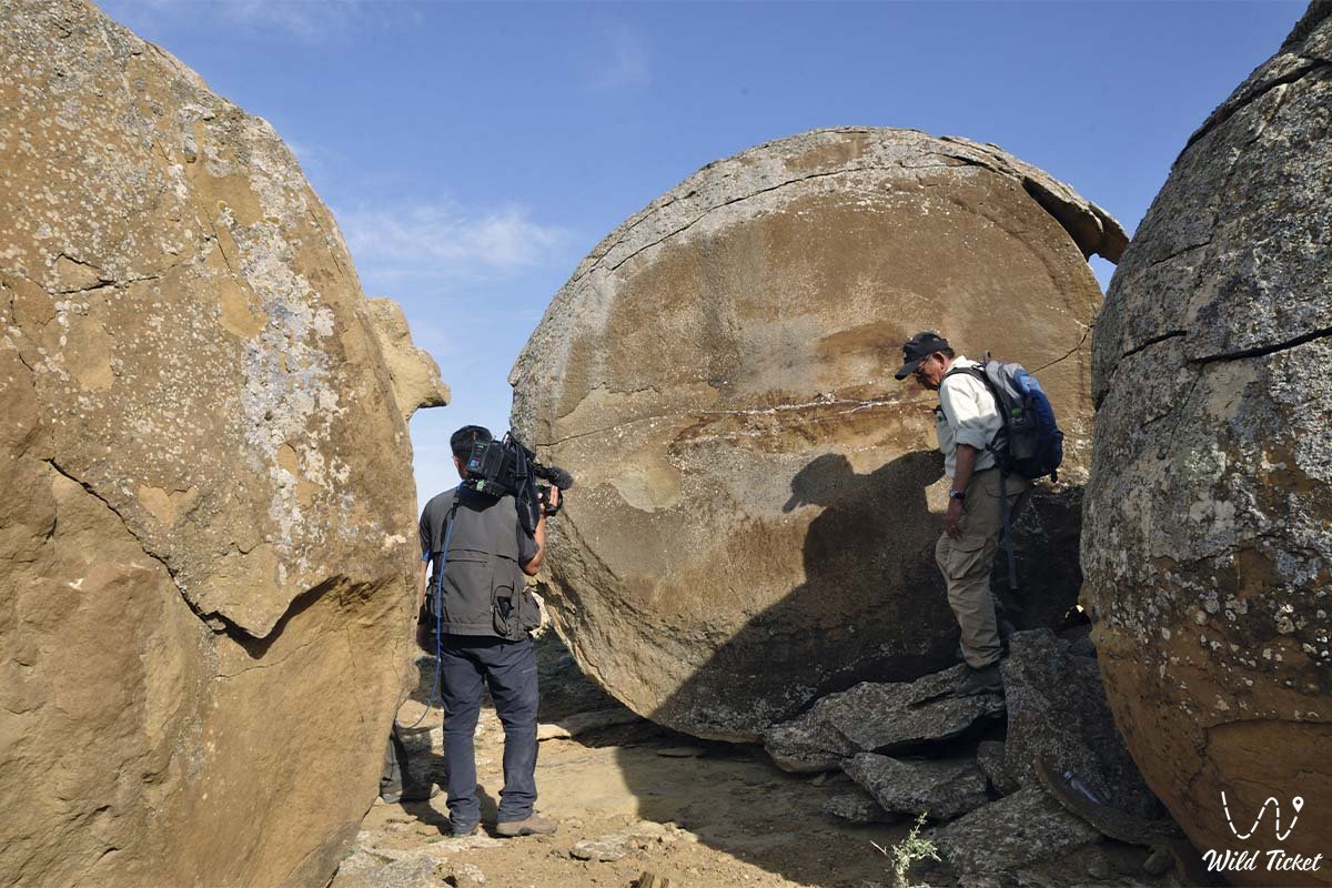
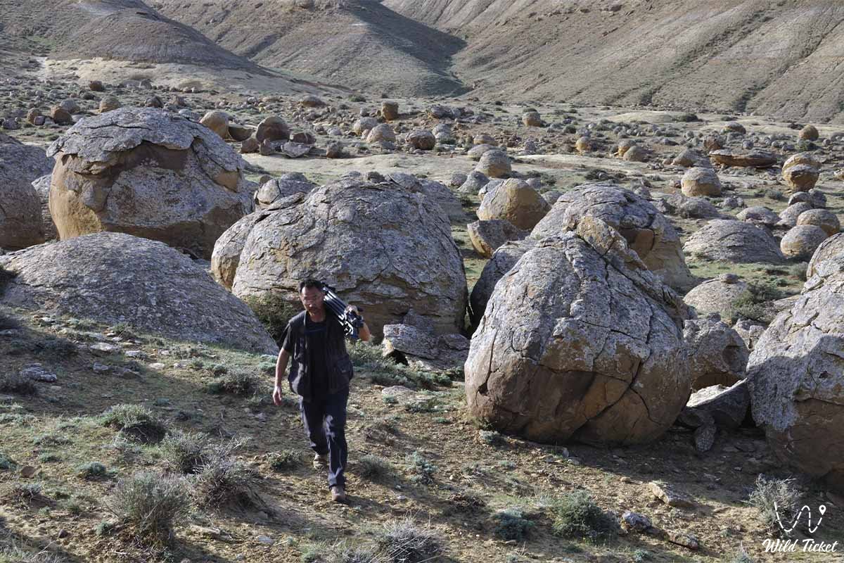
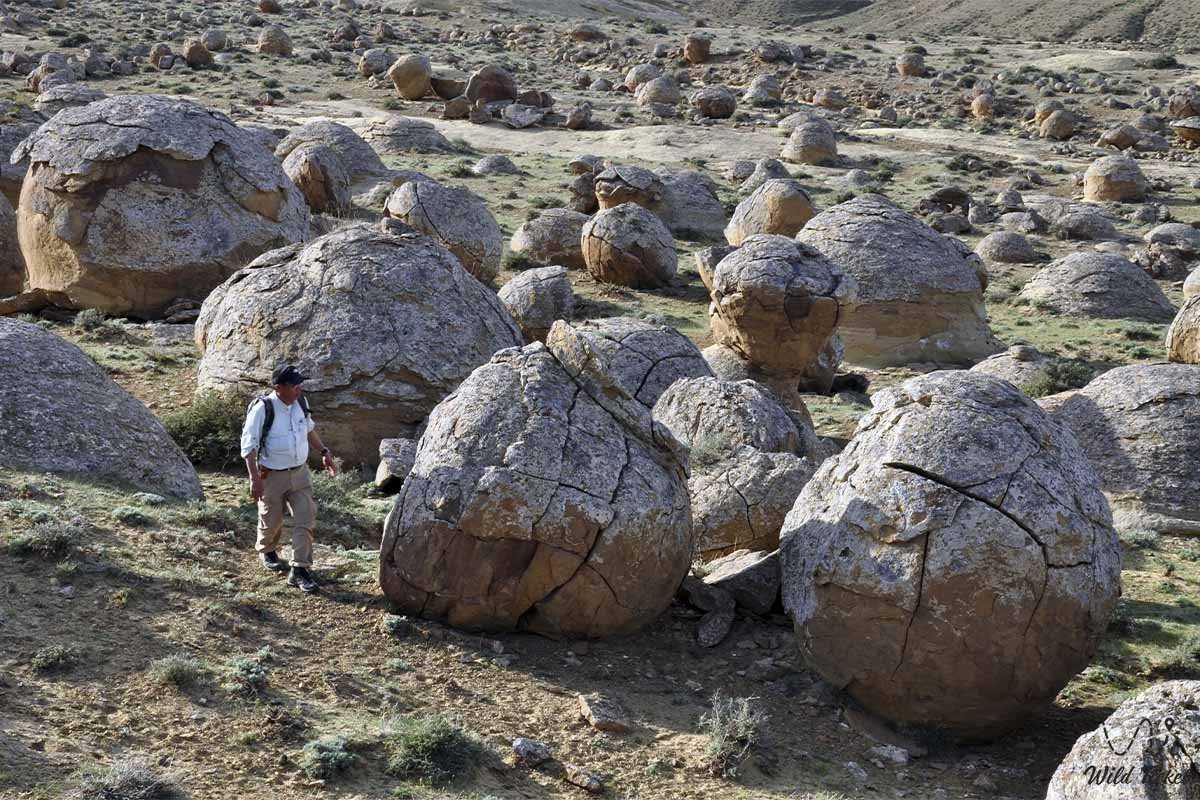
In the broad longitudinal valleys between the scarps of Aktau and the crests of Karatau, Lower Cretaceous sandstones outcrop, forming world-renowned fields of spherical concretions ranging from one and a half to three meters in diameter. From the eastern spurs of the upland, steppe trails open the way to the chinks of the Ustyurt Plateau: the Bozjyra Tract, Mount Bokty, the Karynzharyk Depression, and protected wildlife reserves.
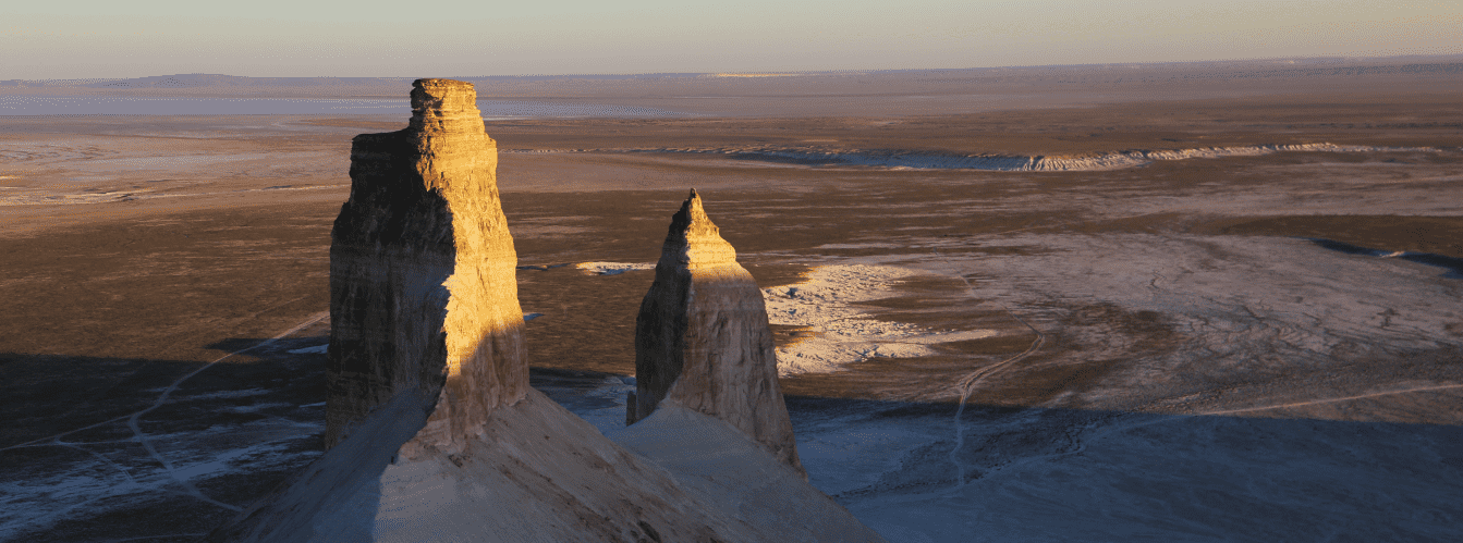
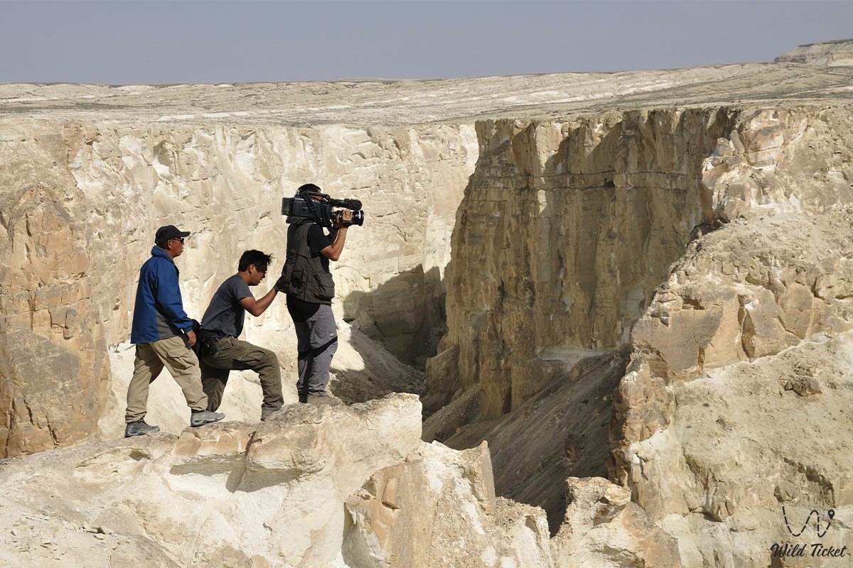
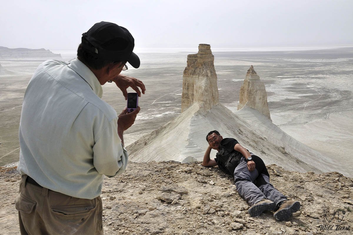
Today, the Mangyshlak Upland is recognized as an exceptional destination for off-road expeditions, geomorphological field studies, and landscape photography. Lovers of pristine nature venture here to witness the stark contrast between black shale ridges and dazzling white chalk scarps, discover hollow, wind-carved stone spheres, and touch the ancient nomadic heritage of Mangystau.
--------------------------------------------
How to Get There and Visit –
The Mangyshlak Upland stretches across the Mangystau District, cutting across the peninsula from west-northwest to east-southeast. The main logistical hub for exploring the entire mountain system is the village of Shetpe, situated in an intermontane depression between the Western Karatau and Eastern Karatau massifs.
The distance from the regional center Aktau to Shetpe is about 150 kilometers via paved highway, around 180 kilometers from the coastal town of Fort-Shevchenko, and about 70 kilometers from the village of Zhetybay.
GPS geographic coordinates of the central part of the Mangyshlak Upland:
44°10'48"N 51°58'32"E
Route from the city of Aktau leads eastward along the paved national highway A-33 through the village of Zhetybay to the major hub of Shetpe (around 150 km of well-paved asphalt). From Shetpe, well-traveled gravel roads and field tracks branch out: to the northwest, the trail enters the longitudinal valley between the Karatau and Northern Aktau ridges toward Mount Sherkala, the Airakty massifs, the Kokala tract, and the Torysh valley of stone balls.
Heading east, dirt tracks lead to the spurs of Eastern Karatau, the springs of Zhamanushkuz and Sarybulak, and the base of the dominant peak Besshoky. Driving time from Aktau to the foot of the ridges takes about 2 to 2.5 hours.
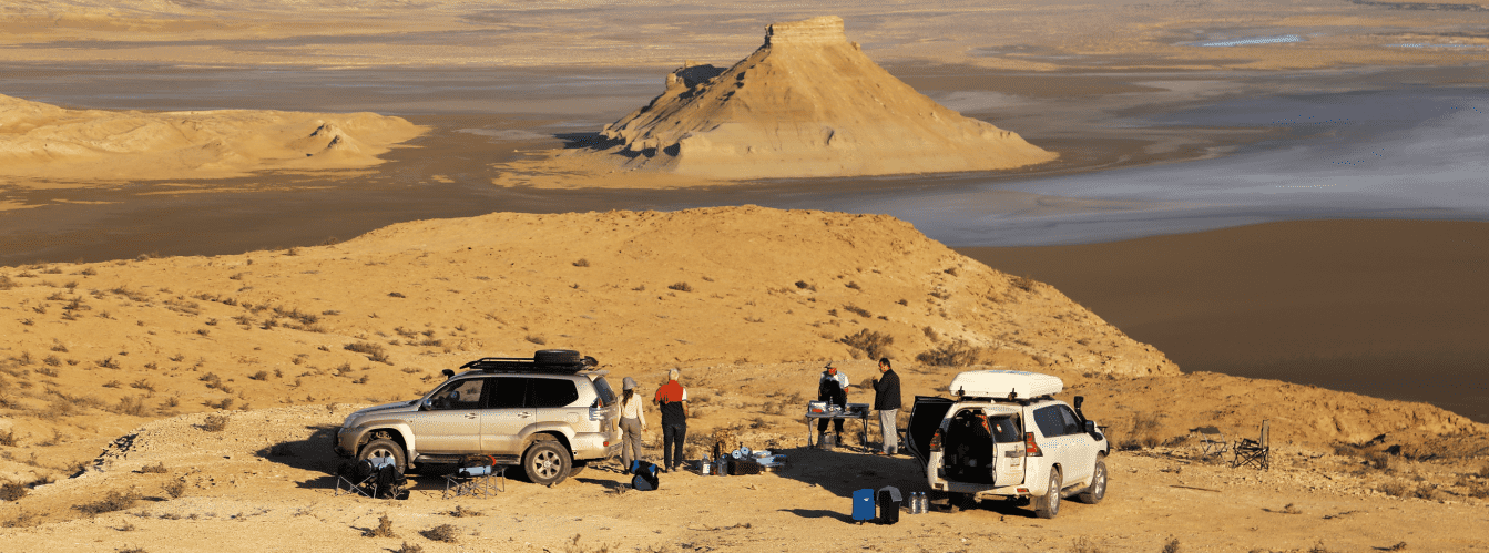
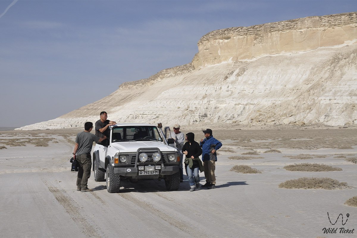
Access roads and terrain passability: the main viewpoints near Mount Sherkala, the village of Shetpe, and along the Aktau highway can be reached without difficulty in a standard passenger car. However, tackling the rocky passes of the Karatau range, driving along dry riverbeds (sayas), ascending the elevations of Karatauchik, or navigating loose sands and eroded salt flats strictly requires a four-wheel-drive SUV with a minimum ground clearance of 200 mm and durable tires with reinforced sidewalls. In wet weather, clay sections of intermontane depressions instantly lose load-bearing capacity, and rocky canyons can become blocked by flash mudflows.
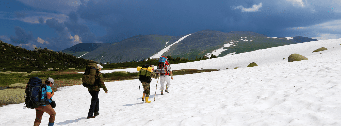
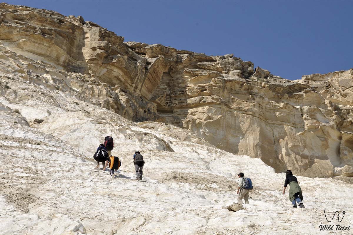
Hiking routes and day treks: the upland relief consists of alternating steep scree slopes of black Permian shales and vertical cliffs of white Upper Cretaceous limestones. For summit ascents of Mount Besshoky (556 m) or traverses across the Kaskyrzhol and Aktau ridges, sturdy trekking boots with deep tread are essential. The bases of the ridges are dissected by gullies, a dense network of deep ravines, and rocky debris fans, demanding heightened vigilance while walking.
Environmental safety regulations: the mountain ridges and watercourses of the upland serve as vital refugia for fragile arid zone fauna.
Across the entire territory of the Mangyshlak Upland, it is STRICTLY FORBIDDEN to:
– drive off established tracks onto pristine land and damage the fragile semi-desert turf layer;
– move, split, or damage spherical concretions and geological outcrops;
– contaminate mountain freshwater springs, watering holes of wild ungulates, and dry riverbeds;
– light campfires in open windy areas (cooking is permitted exclusively using gas burners);
– leave behind household waste, plastic containers, and tin cans at campsites;
– carve or paint inscriptions on limestone cliffs, boulders, and ancient necropolis tombstones;
– approach nesting sites of rare birds of prey along cliff ledges.
Infrastructure: developed municipal infrastructure is concentrated in the district center of Shetpe, which features gas stations, hotels, tire repair shops, cafes, pharmacies, and grocery supermarkets. Within the mountain valleys, infrastructure is entirely absent, aside from rare seasonal yurt ethno-camps operating during the warmer months. For self-sufficient camping in intermontane basins, travelers must carry a supply of drinking water of at least 5 liters per person per day, spare gasoline or diesel in jerrycans (at least 20–30 liters), strong wind guy-lines for tents, and a comprehensive first aid kit. Cellular reception is stable near Shetpe and along ridge tops, but signal drops out completely at the bottom of gorges and behind towering monocline cliffs of Aktau.
Best time to visit is May and June, when ephemeroids bloom, steppe shrubs blossom, and the upland is carpeted with vibrant herbs. The autumn season in September and October is equally magnificent, offering dry, pleasant days and crisp, clear air. In July and August, closed upland basins experience oppressive heat exceeding +40 °C, while winter frequently brings biting winds and blizzards with sub-zero temperatures dropping to -15...-20 °C.
--------------------------------------------
History
The history of the Mangyshlak Upland reaches back into deep antiquity, representing an ancient chronicle of nomadic tribal adaptation to the mountain-desert landscapes of the Northern Caspian region.
Owing to an abundance of fresh groundwater and springs (such as Sarybulak, Zhamanushkuz, and others) emerging at the base of watershed ridges, the upland remained a life-saving oasis amidst waterless deserts for pastoralists and caravans for millennia.
Archaeological excavations in the Western and Eastern Karatau ranges have uncovered Stone Age encampments, Paleolithic and Neolithic flintknapping workshops, and Early Bronze Age burial kurgans. The presence of rich copper and iron ore exposures fostered prehistoric metallurgy: researchers have discovered remnants of primitive smelting furnaces and slag heaps in the upland tracts. During the Early Iron Age, the mountain depressions served as wintering grounds for nomadic confederations of Massagetae, Dahae, and Sarmatians.
In the Middle Ages, northern branches of the Great Silk Road passed through the longitudinal valleys between the Karatau and Aktau ranges. Merchant caravans traveled from the Caspian anchorages of Sarytash Bay and Fort Karagan deep into Asia toward the oases of Khwarazm and Urgench. The Karatau massifs served as reliable navigational landmarks, while the impregnable Mount Sherkala acted as a vital caravan citadel guarding gorge passages.
From the seventeenth to the nineteenth century, the upland became a central territory for the settlement and spiritual renaissance of the Kazakh Aday tribe. At the foothills, unique rock-cut mosques, underground Sufi hermitages, and grand necropolises adorned with carved stone saganatams and domed mausoleums were erected. In the nineteenth century, prominent geological expeditions explored the upland ranges, and the exiled Ukrainian poet Taras Shevchenko, as part of the Karatau Expedition, created an extensive series of drawings and watercolors capturing the pristine geology of Aktau and Karatau.
In the twentieth century, Soviet geologists discovered deposits of coal, copper, iron ores, and minerals within the upland strata. The discovery of the colossal Zhetybay and Uzen oilfields in the south of the peninsula transformed the region into a major industrial power, while the central upland ranges preserved their value as traditional grazing pastures and a unique landscape sanctuary.
Information
Geotectonically, the Mangyshlak Upland (Mangystau) is a major anticlinal folded structure that formed within the Meso-Cenozoic sedimentary cover of the Epi-Hercynian platform through the arched uplift of the folded Paleozoic basement of the Turan Plate. Hundreds of millions of years ago, this entire territory was the bottom of the colossal prehistoric Tethys Ocean. Through a succession of geological epochs and tectonic shifts, the ancient ocean retreated, leaving behind massive beds of bottom sediments that eventually formed the uniquely contrasting relief of Mangyshlak. In structure and genesis, the upland system is analogous to the Tuarkyr folded system situated to the southeast in the Transcaspian region.
In broad structural terms, the upland is a meganticlinorium whose fold hinge exhibits wave-like undulations (uplifts and subsidences). In the zone of maximum tectonic uplift, three massive basement outcrops are exposed along a single axis: the Western Karatau, Eastern Karatau, and Karatauchik massifs. The core of the anticline is composed of displaced, steeply dipping metamorphosed rocks of the Upper Permian, Triassic, and Jurassic: dark gray and black shales, dense sandstones, conglomerates, and metamorphic limestones, giving rise to the name Black Mountains (Karatau).
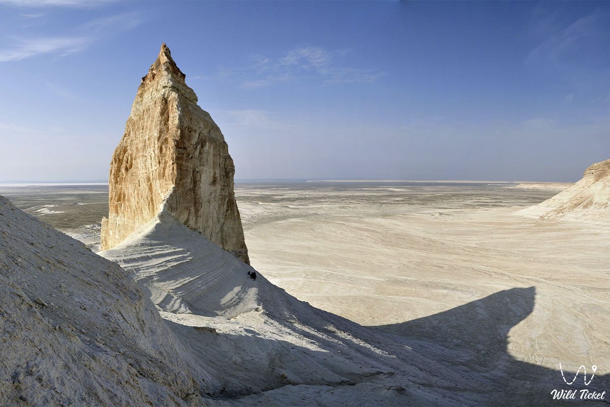
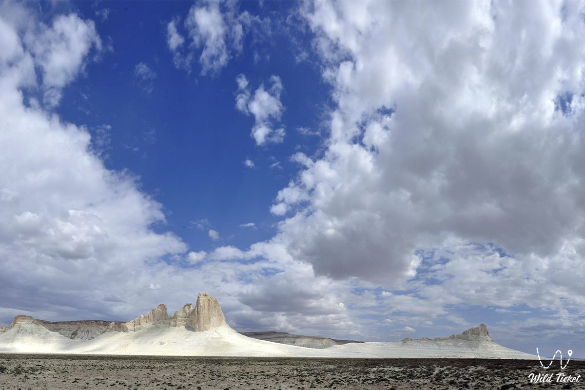
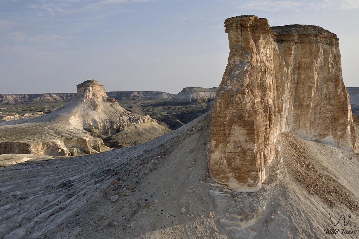
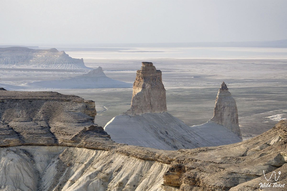
The flanks of the anticlinal fold are composed of Cretaceous and Paleogene strata deposited by the retreating shallow basins of the Tethys Ocean, forming asymmetric monoclinal cuesta ridges known as Northern Aktau and Southern Aktau (White Mountains). Their steep escarpments facing the axial Karatau ridge and stepped crests are built of dazzling white writing chalk, marls, and Upper Cretaceous limestones. In the broad depressions between the black core of Karatau and the white limbs of Aktau lie soft Lower Cretaceous clays and sandstone beds. It is here that frost weathering and eolian deflation sculpted rows of giant spherical concretions up to 1.5–3 meters in diameter, whose soft interiors have frequently been hollowed out by the wind.
Soil cover of the upland belongs to the Turan province of calcareous gray-brown soils. The northern portion of the region (north of the 44th parallel north) is occupied by zonal clayey wormwood deserts. In the southern portion, solonchakous and solonetzic gray-brown soils of deep endorheic depressions prevail. On the higher elevations of the upland, vertical zonation takes effect: the stony desert soils of the foothills transition into semi-desert soil complexes as one climbs toward the upper crests of Karatau and Northern Aktau.
The climate is sharply continental, harsh, and temperate desert. The average January temperature ranges from -3 to -6 °C, and in July from +26 to +28 °C, with extreme daytime spikes reaching up to +45 °C over the salt flats. Annual precipitation varies between 120 and 160 millimeters, peaking during the spring.
Detailed Description of the Site
The natural and orographic complex of the Mangyshlak Upland includes the following iconic features:
• Folded axial core of Karatau – exposures of the ancient Paleozoic basement composed of dark Permo-Triassic shales and sandstones, forming the Western Karatau and Eastern Karatau ranges and the western outlier Karatauchik;
• Highest point of the upland – Mount Besshoky – a monumental pyramidal peak rising 556 meters above sea level, crowning the ridge and offering a panorama across central [url=https://wildticketasia.com/1509-mangystau-kazakhstan.html]Mangystau[/b][/i];
• Monoclinal cuestas of [url=https://wildticketasia.com/420-aktau-mountains-mangyshlak-kazakhstan.html]Northern and Southern Aktau – extensive asymmetric ridges with brilliant white cliffs of Upper Cretaceous limestones and marls, standing in contrast to the dark valley shales;
• Longitudinal intermontane valleys with spherical concretions – expansive depressions exposing Lower Cretaceous sandstones where fields of giant spherical boulders and hollowed wind-carved stone balls up to three meters in diameter lie scattered;
• Secondary ridges and mountain wings – the folded ridges of Kaskyrzhol, Ushawyz, meridional folds of Akmaya and Myrzatay, as well as the prominent highlands of Karakyz, Kaushe, and Yemdy;
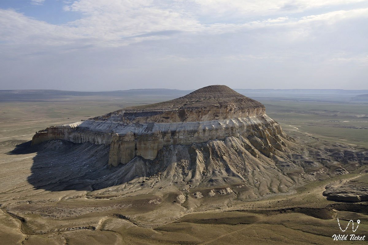
• Fortress-like buttes and badland valleys – the isolated table mountains of Sherkala and Airakty with labyrinths of erosion gullies and canyons;
• Spring gorges and oases – deep, sheltered sayas with pure freshwater fissure springs including Sarybulak, Zhamanushkuz, and Samal, creating verdant refuges of life in the midst of a stony desert.
Flora and Fauna
Vegetation cover of the Mangyshlak Upland is characterized by a transition from typical northern wormwood-saltwort deserts to rocky mountain semi-deserts along the upper crests. In the plant communities of lowland and foothill clay plains, North Turanian species of sagebrush (Artemisia) predominate alongside saltworts: boyalych, biurgun, tree-like saltwort, and Nanophyton. In endorheic depressions and around solonchak patches, succulent saltwort groups thrive, including Halocnemum strobilaceum, Kalidium caspicum, and Salicornia.
On the rocky scarps and screes of Karatau and Aktau, endemic mountain species grow: Karatau wormwood, Caspian feather grass, prickly Atraphaxis, Caragana, and Ephedra distachya. In spring-fed oases and along watercourse beds, mint, common reed, wild briar rose, Asiatic poplar (turanga), willow, and shrubby tamarisk grow vigorously. During the spring awakening in May, the upland is adorned with a green carpet of ephemerals, wild Sogdian tulips, and Turkestan rhubarb.
Wildlife is rich and well-adapted to the severe microclimate of rocky habitats. The symbol of the upland is the Ustyurt mountain mouflon, whose herds find refuge along the sheer rocky crests of Karatau. Predatory mammals include the wolf, golden jackal, corsac fox, badger, marbled polecat, and steppe polecat. Tolai hares, long-eared hedgehogs, and colonies of gerbils are common in the dense shrubbery of gorges.
The avifauna of the upland features numerous birds of prey nesting on the precipitous ledges of the White Mountains: golden eagles, long-legged buzzards, saker falcons, steppe eagles, peregrine falcons, and Eurasian eagle-owls. Rocky slopes are home to chukar partridges, desert wheatears, sandgrouse, and little bustards.
Reptiles are widely represented by the Central Asian tortoise, Caspian bent-toed gecko, toad-headed agama, barred snake, rapid fringe-toed lizard, Central Asian pit viper, and tartar sand boa.
Legend
An ancient legend surrounds the Mangyshlak Upland and the ridges of Karatau and Aktau, telling of the Black and White Batyrs and the petrified cannonballs of giants.
In ancient days, when Caspian waters lapped against the base of the chinks, two inseparable batyrs roamed the peninsula – the mighty Black Giant Karatau and the handsome White Knight Aktau. Karatau was a blacksmith and defender of the land who mastered the subterranean fires, while Aktau brought pure spring water and the light of wisdom to the people.
When a horde of ruthless invaders marched from the eastern dunes toward the sacred nomadic encampments, the batyrs stood up to defend their ancestral lands. From dark iron and stone, Karatau forged massive cannonball-shaped projectiles, while the White Knight Aktau hurled them with his sling into the enemy ranks, crushing the invaders. For seven days and seven nights the earth shook, and the impacts of the giant spheres threw up hills and fractured mountains.
Once the enemy was routed and fled, the exhausted batyrs sank to the earth and fell into eternal slumber, transforming into impenetrable mountain ranges. Black Karatau became the central ridge of dark shale, shielding the valley, while White Aktau turned into gleaming chalk battlements safeguarding the peaceful foothills. The giant stone balls that the heroes did not have time to launch remained lying in orderly rows across the longitudinal valleys, reminding future generations of the heroic defense of their homeland.
Conclusion
The Mangyshlak Upland is an incomparable natural monument and the geological heart of Mangystau, where the rugged strength of ancient Permian shales, the brilliant white of chalk cliffs, and the mysterious labyrinths of spherical stone concretions come together in complete harmony. Journeying through the passes, valleys, and spring oases of the upland reveals the true scale and majesty of Western Kazakhstan's pristine wilderness.
Interesting Nearby Attractions:
• Kenderli-Kayasan Plateau;
• Mount Otpan-Tau;
• Mount Sherkala;
• Kokala Tract;
• Torysh Valley of Spherical Concretions;
• Sarytash Bay;
• Kapamsay Canyon;
• Shakpaktysay Canyon;
• Karagiye Depression;
• Tuzbair Salt Flat;
• Bozjyra Tract;
• Samal Canyon;
• Akmyshtau Tract;
• Karynzharyk Depression.
Pilgrimage Sites in Mangystau:
• Beket-Ata Underground Mosque;
• Karaman-Ata Underground Mosque;
• Shakpak-Ata Underground Mosque;
• Sultan-Epe Underground Mosque;
• Shopan-Ata Underground Mosque;
• Masat-Ata Underground Mosque;
• Koben Mosque;
• Zholaskan Mosque;
• Kolbas Ishan Mosque;
• Sonabay Underground Mosque;
• Uytoly-Ata Mosque;
• Ishan Khoja Mosque;
• Zhaman Sauran Mosque;
• Sanctuary of Bayte.
Photogallery: