Waters of the Caspian and sun-baked shores of Western Kazakhstan –
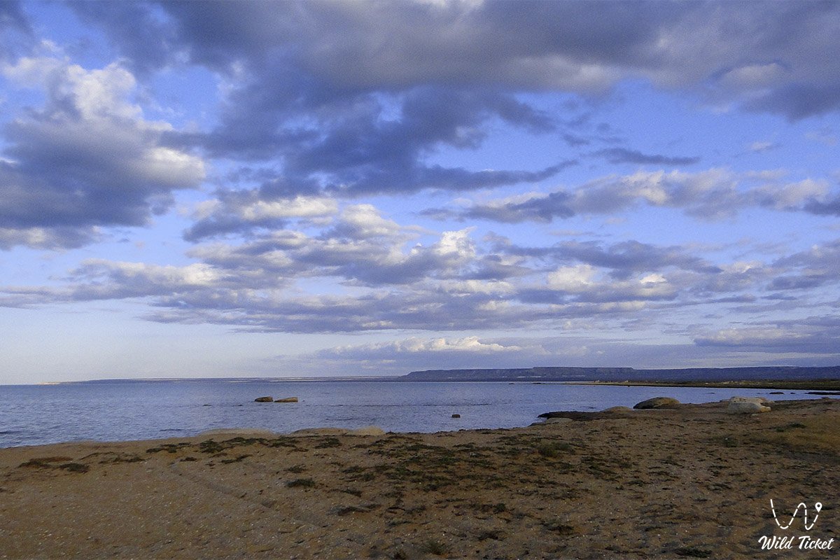
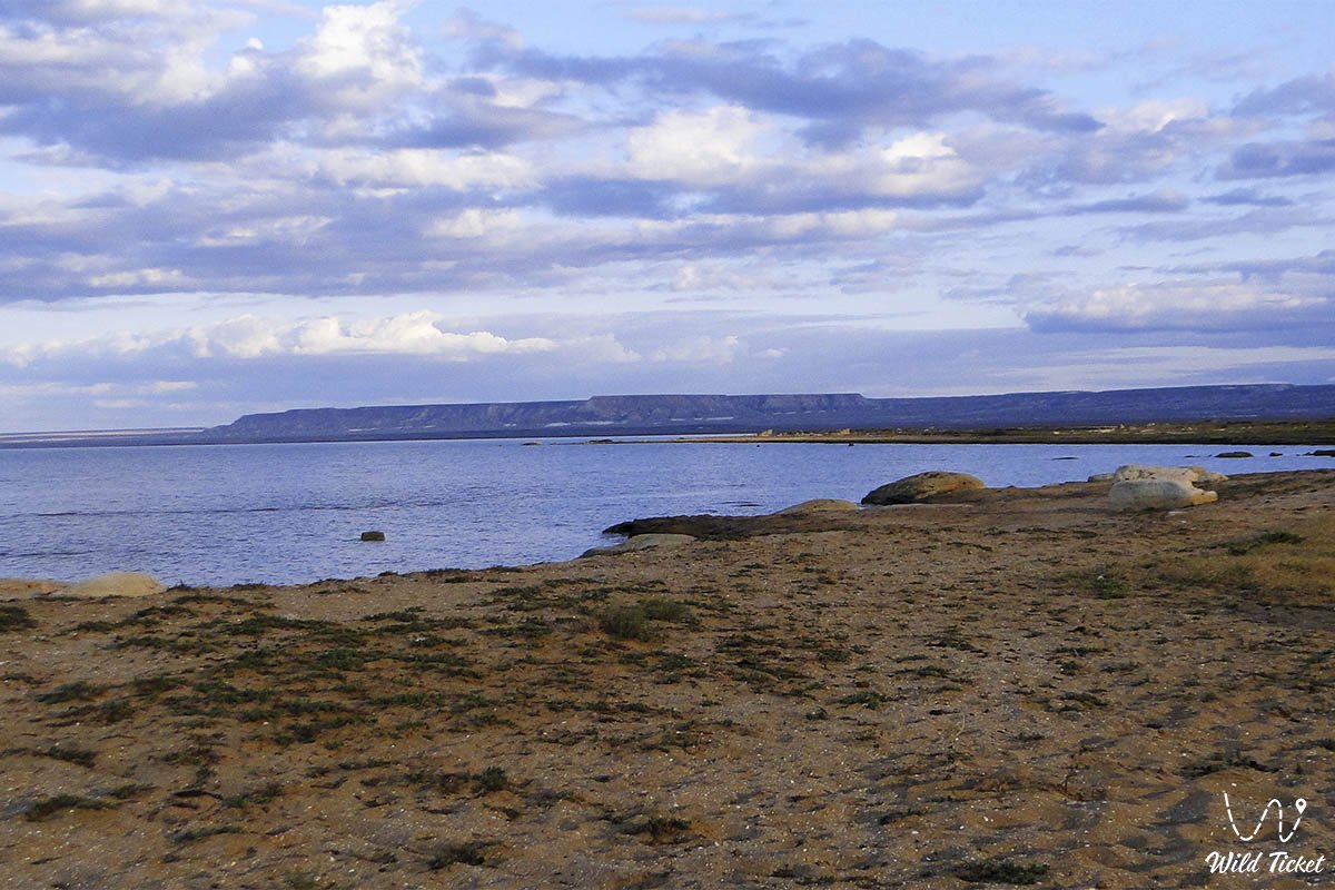
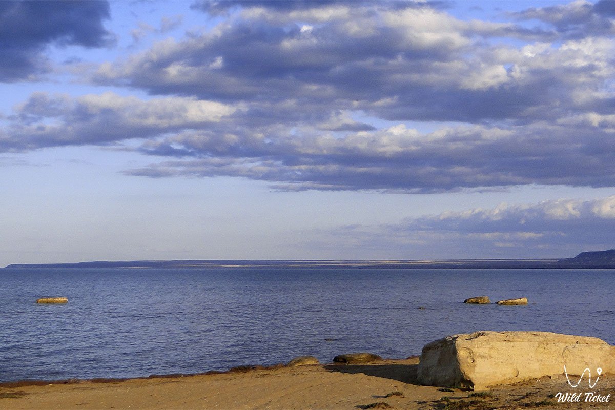
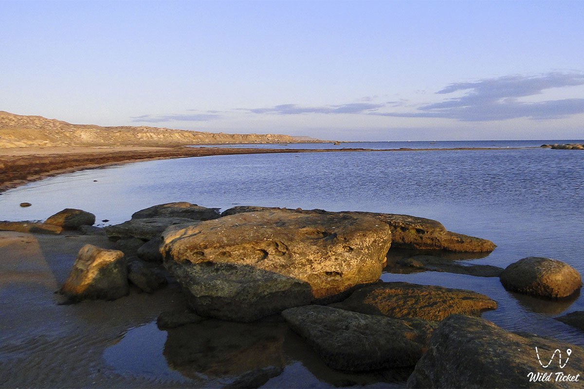
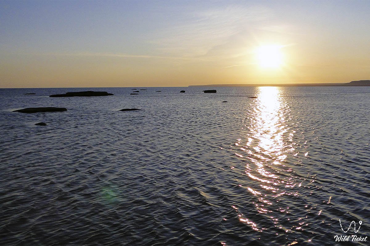
The Kazakh Bay (Kaz. Qazaq shyğanağy) represents a grand, picturesque, and geographically distinct natural feature in the west of the Republic of Kazakhstan. This marine basin indents deeply into the land along the eastern coastline of the Caspian Sea, spreading along the southern boundaries of the Mangyshlak Peninsula within the Karakiya district. Once, the waters of the ancient Tethys Ocean—the great predecessor of the modern Caspian—covered these arid expanses, leaving behind multi-layered bottom deposits, shell beds, and salt strata that shaped the unique geological profile of the entire coastal zone.
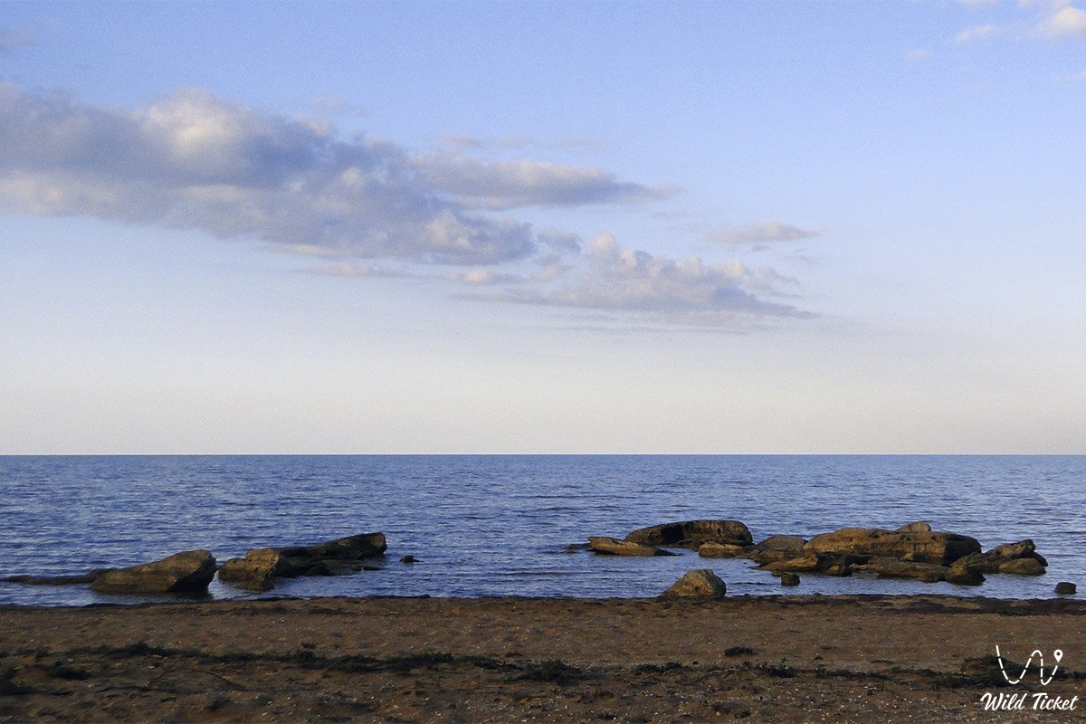
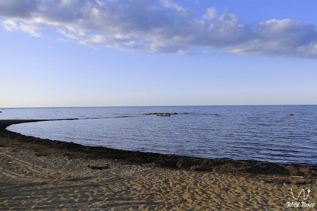
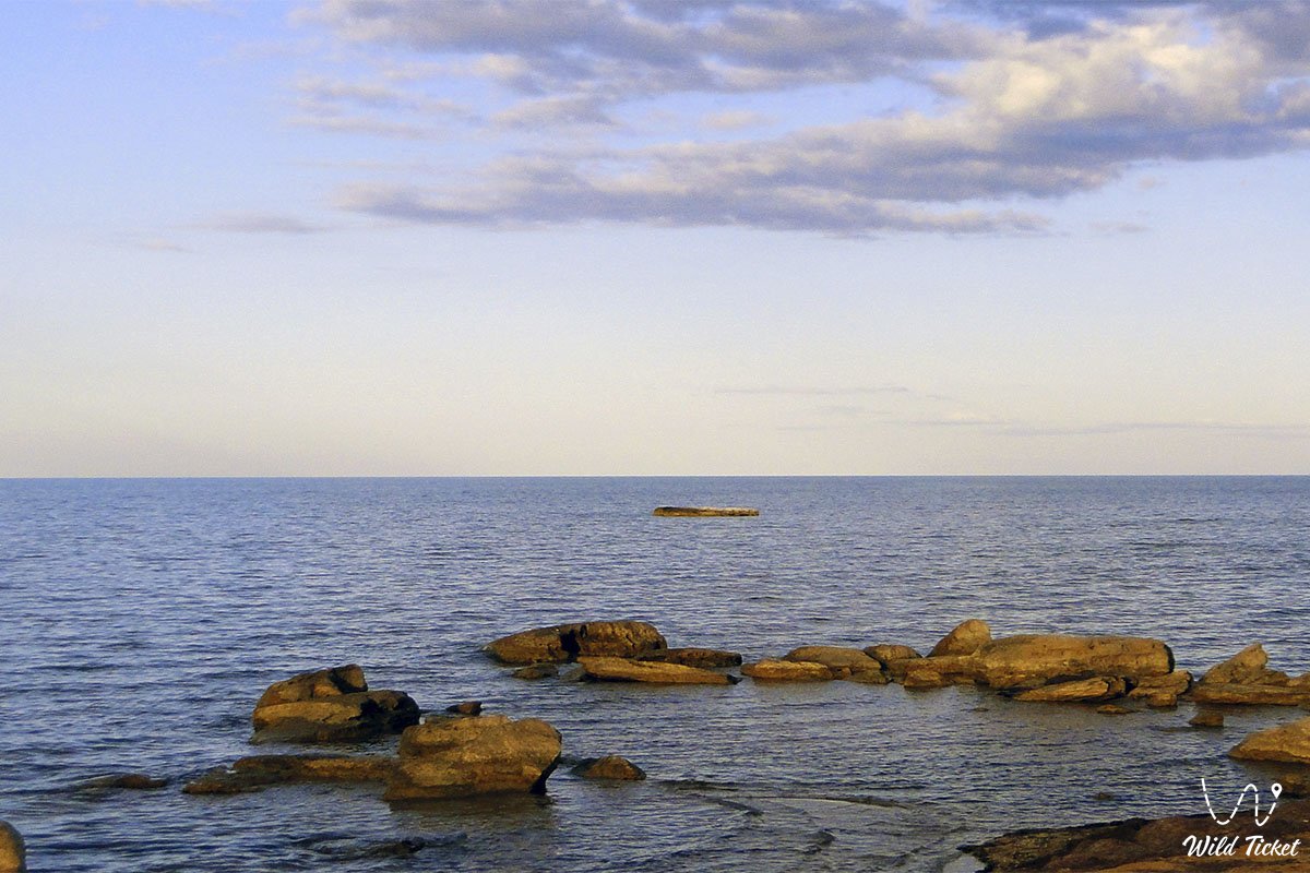
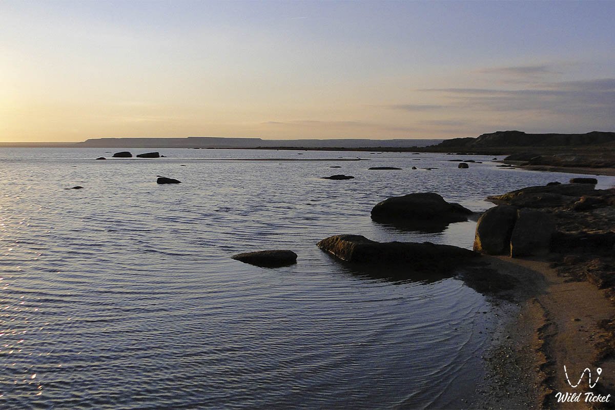
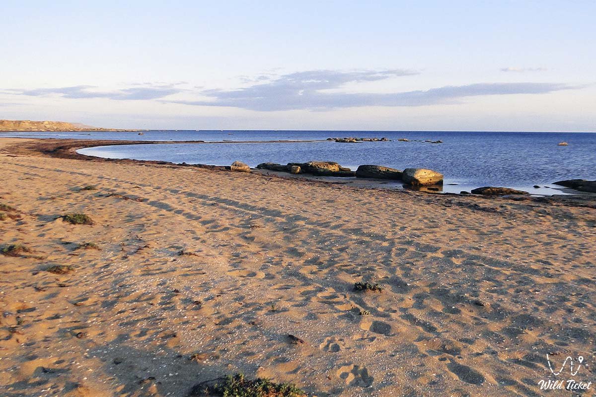
The bay's open waters sweep across the turquoise waves of the Caspian, forming a wide arc that washes wild coastal deserts, saline depressions, and clay-soil terraces. A direct extension and component of this coastal system is the scenic Kenderli Bay, featuring the renowned Kenderli Recreation Center and separated from the main basin by a sandy spit. For kilometers around, pristine landscapes stretch out where rugged takyrs and cracked salt flats meet the endless sea surface, creating a distinct regional microclimate.
In the geography and expedition practice of the region, Kazakh Bay serves as an essential landmark and a magnet for researchers, travelers, and overlanding enthusiasts. North of the bay's waters lies Cape Peschany ("Kazakh Emirates"), acting as a prominent waypoint on the journey toward wild beaches and secluded coves along the southern coast.
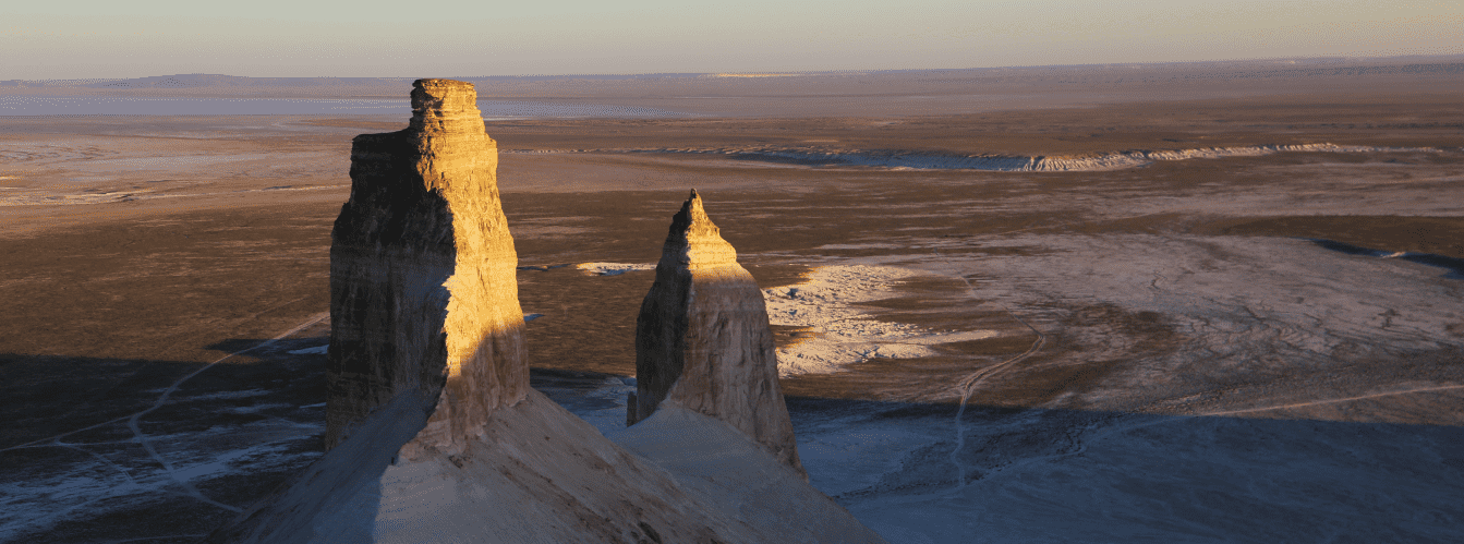
The geological framework of the coast is composed of thick Quaternary marine terrace deposits, contemporary sediments, and shell limestone shaped by long-term wave currents and wind dynamics. From the coastal strip, dirt tracks and saline grading roads lead travelers toward the Ashhysor Depression, the Karagiye Depression, and the regional center. From here, visitors can also drive inland toward the Basgurly-Zhazgurly depression network and onward to the Karynzharyk Depression, viewing the Kenderli salt flat and the Three Batyrs Mountains (Onere).
The essence of Kazakh Bay is its absolute, primordial solitude, quietude, and the striking emptiness of the Caspian shores. For centuries, these wild locations served as temporary campsites for nomads, fishermen, and trade caravans journeying along the eastern coastline. Following backcountry tracks along the open water leads to remote coastal stretches and neighboring desert tracts.
Following exploration around the bay, expedition routes typically venture deeper into the Karagiye-Karakol Nature Sanctuary toward Lake Karakol, or head north toward the canyons, the Bozjyra tract, Mount Bokty, and other natural monuments of the peninsula. Travelers can journey north toward Cape Tyub-Karagan, the town of Fort-Shevchenko, and onward to the Zhygylgan sinkhole, or visit the Lake and Basin of Koshkar-Ata.
--------------------------------------------
How to get there and visit –
Kazakh Bay is situated on the eastern coast of the Caspian Sea in the Mangystau region, Republic of Kazakhstan, within the territory of the Karakiya district. The distance from the regional capital city of Aktau to the bay's coast is about 100–140 km south via steppe and saline dirt tracks.
GPS geographical coordinates of Kazakh Bay:
42°29'12"N 52°20'29"E
The distance from the bay to the major industrial and transit hub of Zhanaozen is about 130–150 km northeast via steppe graders and coastal access routes. Near Zhanaozen lies the major Uzen Oil Field.
Reaching the site from nearby rural localities—such as Senek village (situated east toward the Senek sands and Bozjyra) and Shetpe village (located further north in central Mangystau)—requires navigating transit routes across steppe tracks spanning 120 to 200 km.
The driving route from Aktau via Kuryk village and Aleksandrbay Bay leads south along a paved republican highway toward resort bases ("Tree of Life," "Stigl," "Sunset") and the Kuryk Ferry Complex, after which it turns south along dirt roads and saline tracks across the coastal strip.
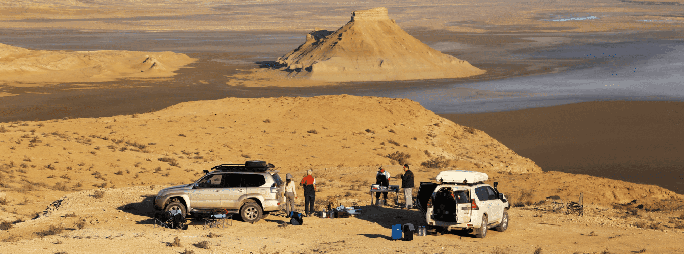
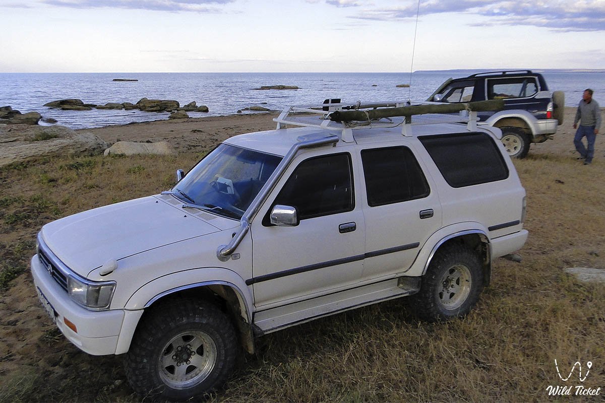
Traveling to the coast of Kazakh Bay involves distinct technical challenges: leaving the highway and driving along the coastal strip crosses salt flats, takyrs, and patches of loose sand. Standard passenger vehicles will inevitably get stuck. Safe passage requires a fully equipped frame-chassis four-wheel-drive vehicle (4x4) with high ground clearance, low-range gearing, and tire pressure deflation capability. Every vehicle must carry a working air compressor, a heavy-duty shovel, sand boards, and a reliable tow strap.
Visiting regulations and infrastructure: the territory of the bay and its wild beaches are open natural areas accessible for tourism, recreation, and amateur fishing.
Fixed infrastructure (fuel stations, stores, repair shops, pharmacies) is entirely absent on the coast itself. The closest full-service fuel and supply points are located in Aktau or Zhanaozen.
Mobile reception along the coast is intermittent or nonexistent. Each crew must carry an independent supply of drinking water (at least 3–5 liters per person daily), reserve fuel in metal canisters for the return trip, and navigation devices pre-loaded with detailed offline regional maps.
Best time to visit: spring (mid-April to late May), when the coastal desert awakens with ephemeral vegetation under comfortable weather, and early autumn (September – October), which is ideal for fishing, overnight tent camping, and off-road expeditions without the intense summer heat.
--------------------------------------------
History
The historical past of the Kazakh Bay coast and its surrounding waters is tied to the centuries-old exploration of Mangyshlak by nomadic clans, fishermen, and hydrographers of the Caspian Sea. For centuries, these dry steppe and saline shores served as seasonal pastures for Kazakh clans moving livestock between winter and summer grazing grounds, as well as sheltered anchorages for trade caravans and vessels sailing along the eastern sea border.
A major milestone in the region's cartographic exploration occurred when the renowned explorer Alexander Bekovich-Cherkassky first mapped this bay in 1715 under the name Kyzyl ("red"), and in 1724 it appeared as Peterbay ("Peter's Bay"). On I.V. Tokmachev's 1731 map, the water body was designated as Kenzhyrminskaya Cove, and only after 1917 did the bay receive its current name in honor of the Kazakh Republic.
A vital historical and archaeological marker of this terrain is found in the ancient ancestral necropolises and old burial sites located near the bay. Descendants of local clans still visit these locations to honor their ancestors and perform traditional memorial rites. The tombs reflect traditional Mangystau architecture, featuring stone gravestones, koytas monuments, and saganatam structures characteristic of past nomadic funerary cultures.
In later periods, with the onset of active navigation and exploration on the Caspian Sea, the bay's coastline gained importance for fisheries and coastal shipping. Today, the historical landscape of the bay unites traces of ancient nomads, old burial grounds, and relics of old fishing stations, creating a unique historical and cultural environment where desert meets sea.
Information
Geomorphologically, Kazakh Bay is a major water body and recessed basin on the eastern coast of the Caspian Sea, shaped by long-term wave currents, tectonic troughs, and accumulative processes. The dimensions of the bay reach approximately 46 kilometers inland with an entrance width of 83 kilometers (in the central part between Rakushechny and Sengirli capes, the length reaches 91.5 km, while the average depth ranges from 3 meters in the shallow Kenderli cove to 50 meters in the central zone). The terrain combines open sea expanses, high clay scarps, flat coastal terraces, and saline depressions.
The geological base of the coast is formed of thick Quaternary marine deposits, shell limestone, and contemporary sediments overlying older Meso-Cenozoic platform strata.
The climate of the coast is sharply continental, moderated by the proximity of the Caspian Sea but prone to strong winds, especially during the autumn-winter period. Winters are moderately cold and windy, with January temperatures averaging down to -8 °C, causing shallow parts of the bay to freeze over with a thin layer of ice for 2 to 3 months. Summers are hot and dry, with water temperatures reaching +26...+27 °C, offering favorable conditions for recreation. Water salinity in the basin is 13–14 ‰. Precipitation is sparse.
The hydrological regime of the littoral zone depends on Caspian sea-level fluctuations, wind surges, and wave dynamics that continually reshape the coastline, shallow areas, and saline lagoons.
Detailed description of the venue
The natural and landscape complex of Kazakh Bay includes the following features:
• Extensive marine waters and deep bay – a grand water basin with clean waters of the open Caspian, extending 46 kilometers inland.
• Precipitous clay shores and saline terraces – rugged coastal scarps and salt depressions along the approaches to the water between Rakushechny and Sengirli capes.
• Resort zone and shallow Kenderli Cove – a scenic inlet in the eastern section, sheltered from the sea by the Kenderli Spit and modern resort developments.
• Coastal sandy beaches and shell spits – wild coastal stretches with warm water and clean sand that attract travelers.
• Historic necropolises and ancestral burial grounds – ancient nomad tombs in the vicinity of the bay.
• Old caravan and fishing trails – communication routes running along the eastern Caspian coast.
Flora and fauna
The nature of Kazakh Bay reflects a blend of marine biotopes and harsh saline-desert ecosystems.
Vegetation (flora): plant cover consists of halophytes, saltworts, and wormwood adapted to soil salinity and sea winds. Protected spots support rare desert shrubs and spring ephemerals.
Wildlife (fauna): coastal areas support tolai hares, corsac foxes, rodents, and steppe birds. Coastal reed beds and open waters harbor gulls and shorebirds, while the bay's waters host the endemic Caspian seal.
Legend
An ancient steppe legend concerning the Sea Wanderer and the Lost Treasures of Ancient Mariners is told in connection with the endless waters of Kazakh Bay and the wild shores of the Caspian.
Lore relates that in ancient times, when heavy merchant vessels sailed along the eastern Caspian shore, merchants and fishermen found shelter in the quiet waters of the bay. During one sudden and violent storm, a ship carrying a precious cargo sank into the dark depths of the bay, and its captain was transformed into the immortal guardian spirit of these places.
Local residents still believe that on quiet moonlit nights, a light mist rises over the bay's surface, within which the silhouette of the Sea Wanderer can be glimpsed, guarding the underwater depths and the peace of the coastal desert from greedy and disrespectful strangers.
Conclusion
Kazakh Bay on the Caspian Sea is a wild, primordial, and rugged corner of Mangystau nature, where endless desert expanses meet the marine element. It stands as an ideal destination for those who value absolute isolation, wildlife, and the spirit of off-road expeditions paired with the resort comfort of Kenderli.
Interesting sights nearby:
• Sandy Cape (Cape Peschany);
• Aleksandrbay Bay;
• Kuryk Port;
• Kenderli Bay;
• Cape Tokmak;
• Lake Karakol;
• Karagiye Depression;
• Karagiye-Karakol State Nature Sanctuary;
• Ashhysor Depression;
• Basgurly Depression;
• Zhazgurly Depression;
• Karynzharyk Depression;
• Kenderli Salt Flat;
• Three Batyrs Mountains (Onere);
• City of Aktau;
• City of Zhanaozen.
Sacred sights and pilgrimage destinations:
• Beket-Ata Underground Mosque;
• Shopan-Ata Underground Mosque;
• Karaman-Ata Underground Mosque;
• Sultan-Epe Underground Mosque;
• Tolegen Aulie Mosque;
• Makhtum Baba Mosque;
• Temir Abdal Underground Mosque;
• Old Beyneu Mosque.
Photogallery: