Unique natural reserve of global significance in western Kazakhstan –
The Karagiye-Karakol State Nature Sanctuary (zoological) of republican significance represents one of the most large-scale, contrasting, and valuable conservation complexes in the Mangystau region. Located across the territory of Karakiyan and Munaily districts, the sanctuary covers an area of over 137 thousand hectares, uniting two fundamentally different yet ecologically interrelated geosystems: the colossal tectonic endorheic Karagiye depression (Kaz. Qaraqiya – "black jaws" or "steep slope") and an artificially formed wetland of international importance – Lake Karakol, situated along the coastal strip of the Caspian Sea.
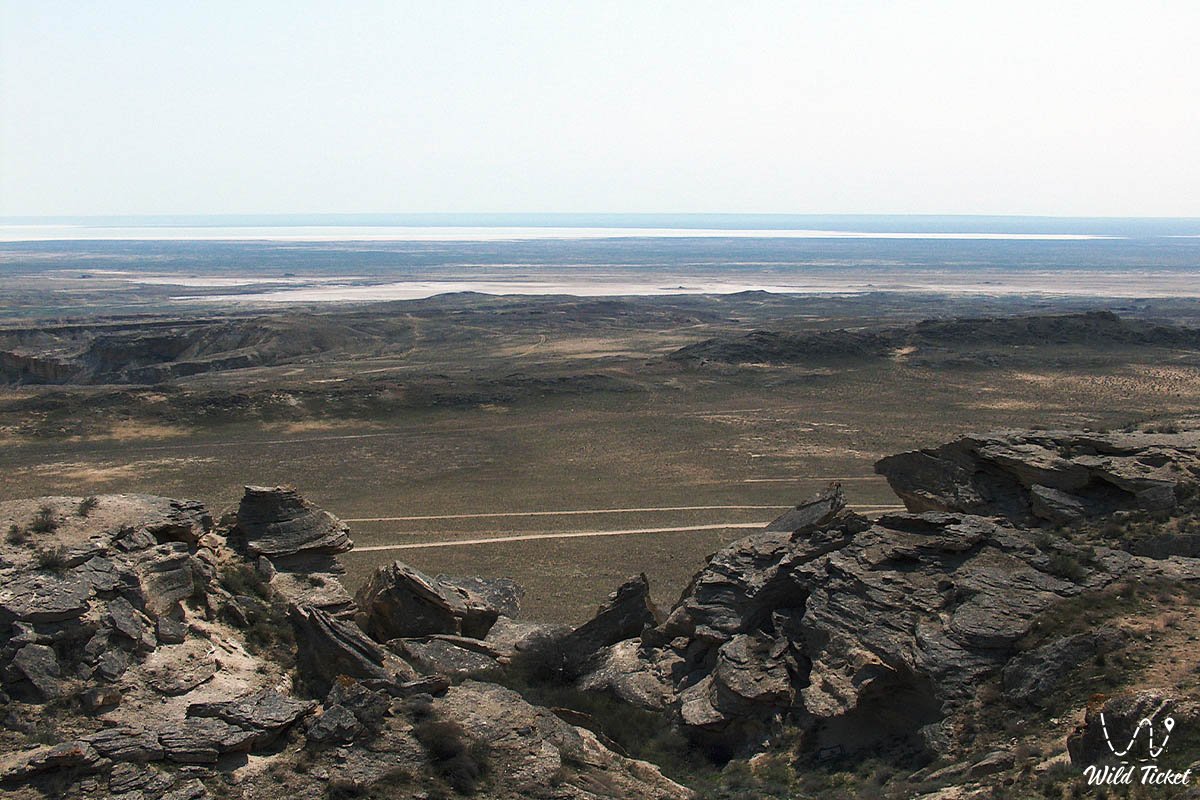
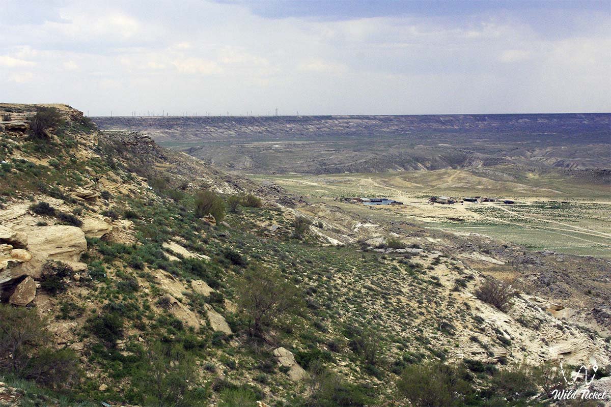
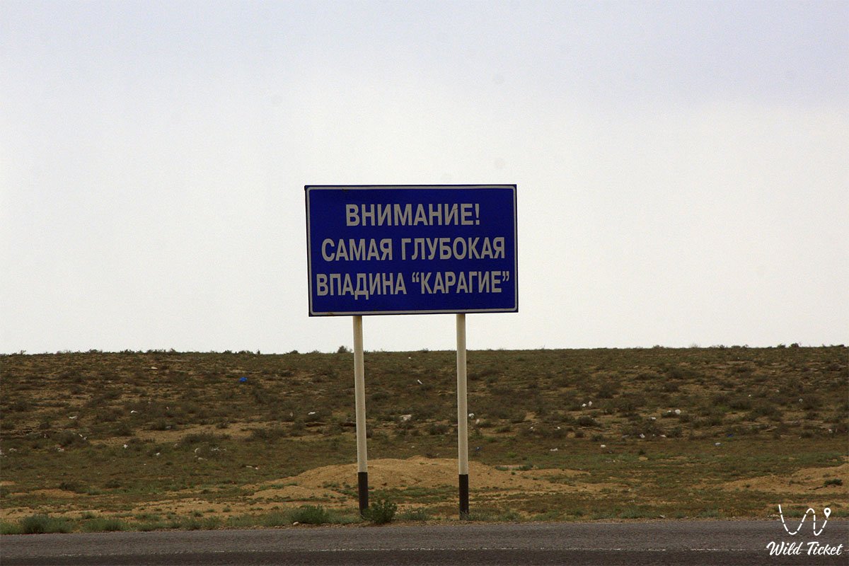
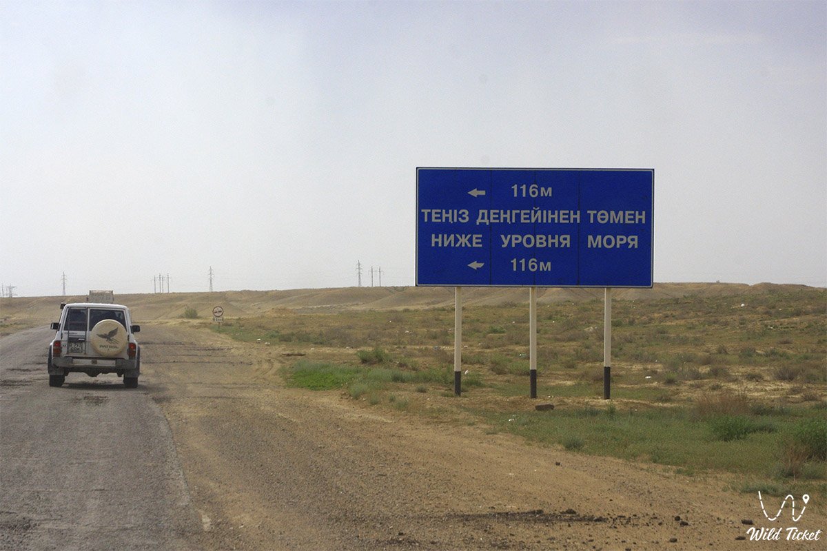
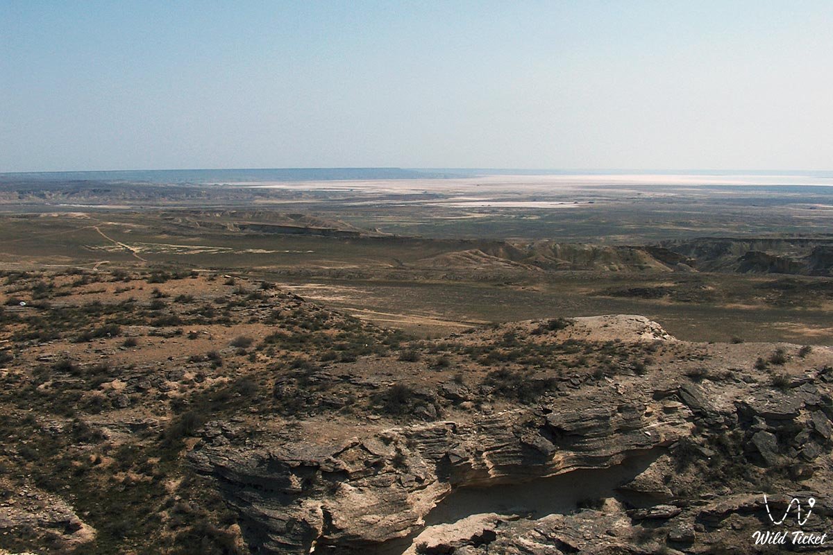
The Karagiye depression is recognized as one of the deepest depressions in the world: its maximum depth reaches minus 132 meters below world sea level, making it the deepest dry depression in Kazakhstan and across the entire post-Soviet expanse, as well as the fifth deepest on the planet.
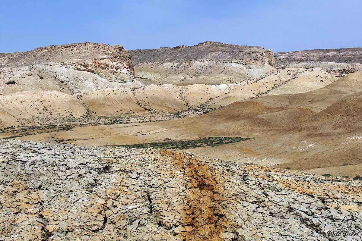
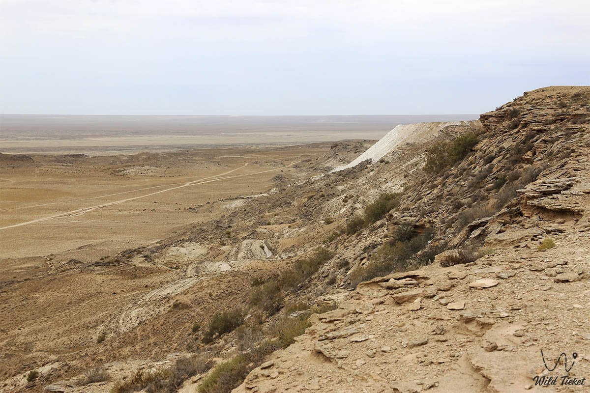
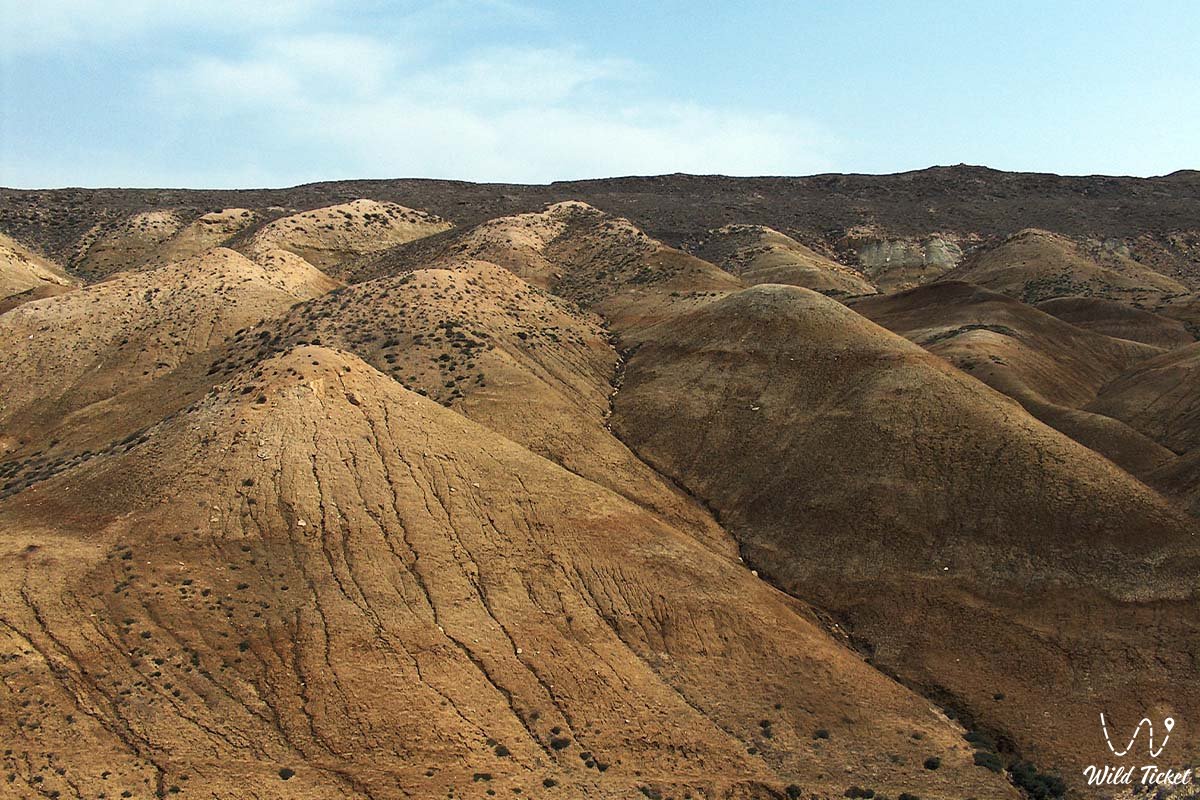
The length of this cyclopean basin is about 85 kilometers with a width of up to 25 kilometers. The relief of the depression stuns the imagination with sheer stepped scarp-chinks, dazzlingly white batyr salt flats, chalk outliers, and surreal canyons exposing multi-million-year geological strata of the ancient Tethys Ocean.
The second key cluster of the sanctuary is Lake Karakol, located just 10–15 kilometers southeast of the city of Aktau. This shallow, brackish water body formed in the second half of the 20th century as a result of the discharge of warm cooling industrial waters from the energy plant (MAEK) and has become a vital ornithological oasis for the whole of Central Asia.
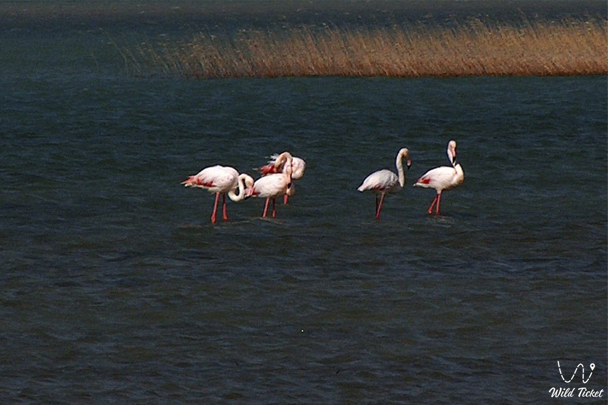
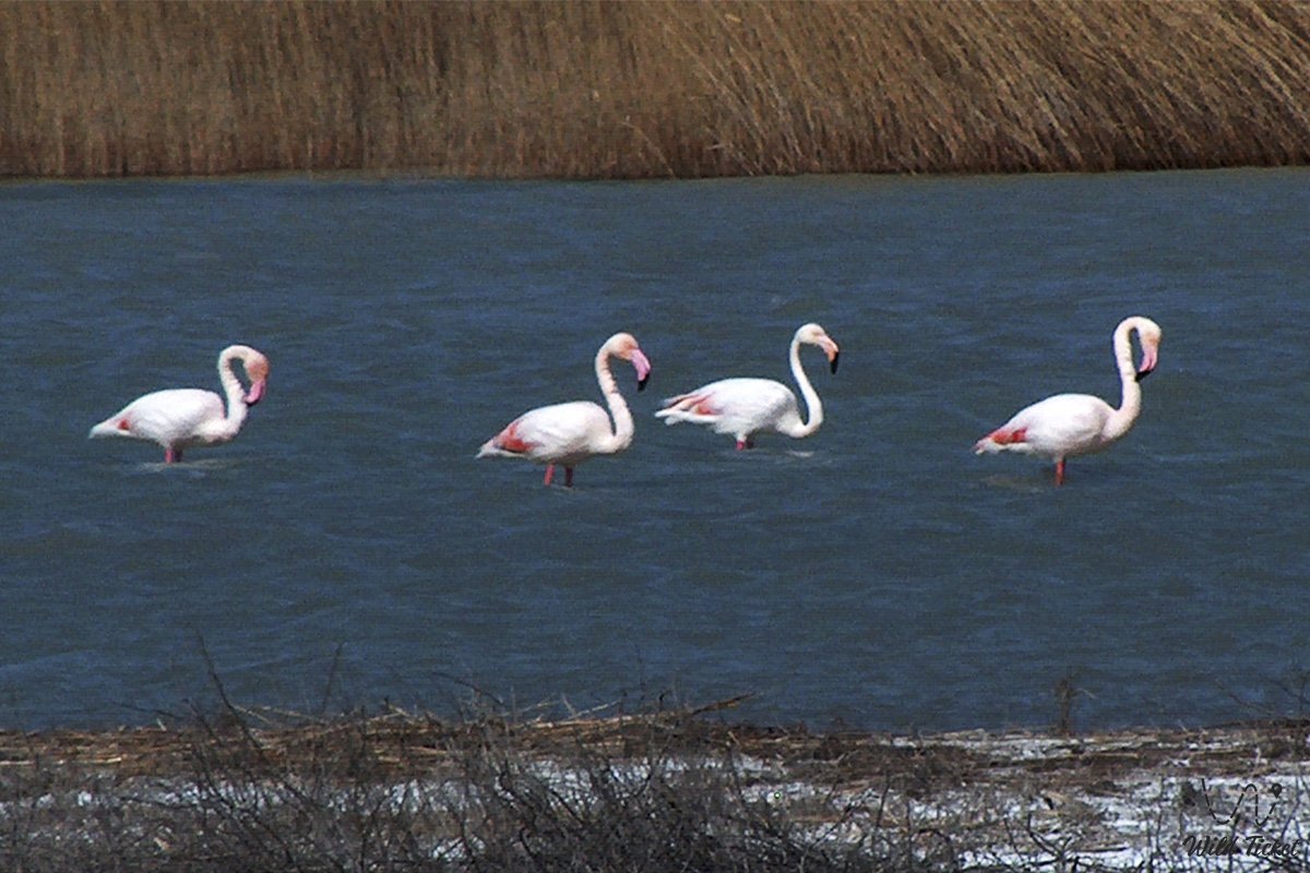
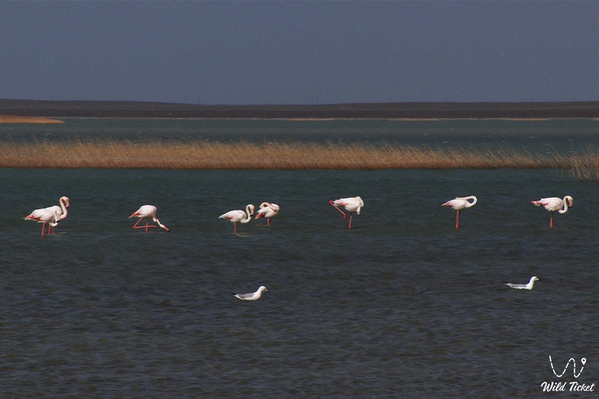
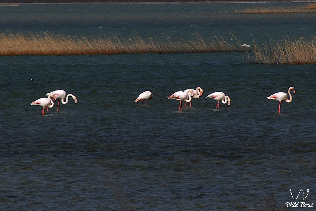
Karakol is included in the directory of Important Bird Areas (IBA) and the list of wetlands of international importance, serving as a migratory stopover and wintering ground for hundreds of thousands of passage birds, including famous greater flamingos and Dalmatian pelicans.
Today, the Karagiye-Karakol sanctuary serves as a benchmark for arid and maritime landscapes of Eurasia, attracting geologists, birdwatchers, photographers, and overland expedition enthusiasts from all over the world.
--------------------------------------------
How to get there and visit –
The Karagiye-Karakol sanctuary is located in close proximity to the administrative center of the region – the city of Aktau, making it one of the most accessible natural locations to launch expeditions across Mangystau, Mangystau region, Republic of Kazakhstan.
GPS geographical coordinates: 43°26'19"N 51°47'14"E
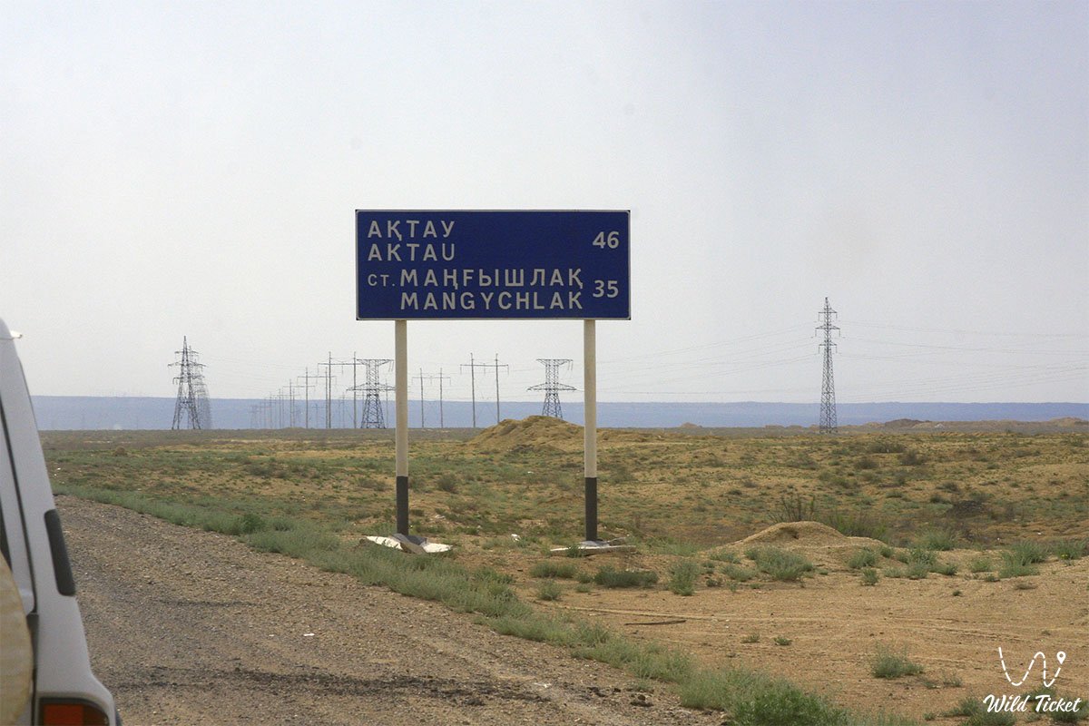
Lake Karakol adjoins the city limits of Aktau on the southeastern side (about 10–15 kilometers along a paved highway toward the airport or the village of Kuryk). The northern rim of the Karagiye depression begins just 20–30 kilometers east of Aktau, and the main highway of republican significance Aktau – Zhanaozen crosses the depression, descending via serpentines directly to its floor.
For a trip to the equipped panoramic observation deck of the Karagiye depression and the observation points of Lake Karakol, a standard passenger sedan or urban crossover is sufficient, as the road is completely paved. However, for deep radial journeys across the floor of the depression, approaching remote tracts, salt flats, and distant chinks, a dependable four-wheel-drive vehicle (4x4) with high ground clearance, reinforced suspension, and durable tires (AT/MT) is necessary.
During self-sufficient trips down to the bottom of the depression, it is mandatory to carry a fuel reserve, a compressor, a dynamic tow strap, spare wheels, and a navigator loaded with offline maps. Inside the bowl of the depression itself, mobile reception drops out in places due to screening by high scarp cliffs. It is critically important to carry a drinking water supply of at least 4–5 liters per person per day: the Karagiye depression generates its own thermal microclimate, creating ascending currents of dry, scorching air.
The optimal time to visit the sanctuary is the spring period (from April to early June), when desert ephemerals bloom and mass bird migration occurs at Lake Karakol, as well as warm autumn (September – October). In July and August, temperatures at the bottom of the depression frequently exceed +45...+50 °C in the sun, turning the hollow into a natural furnace.
--------------------------------------------
History
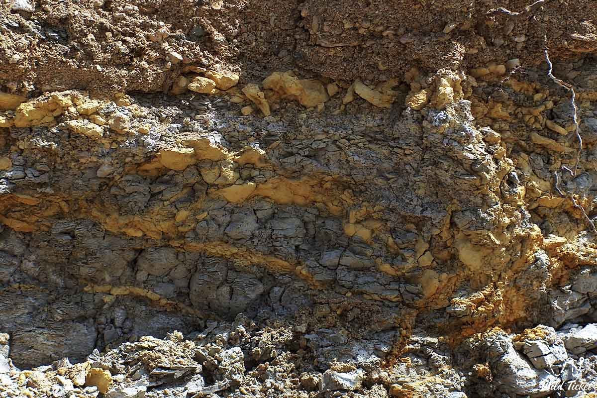
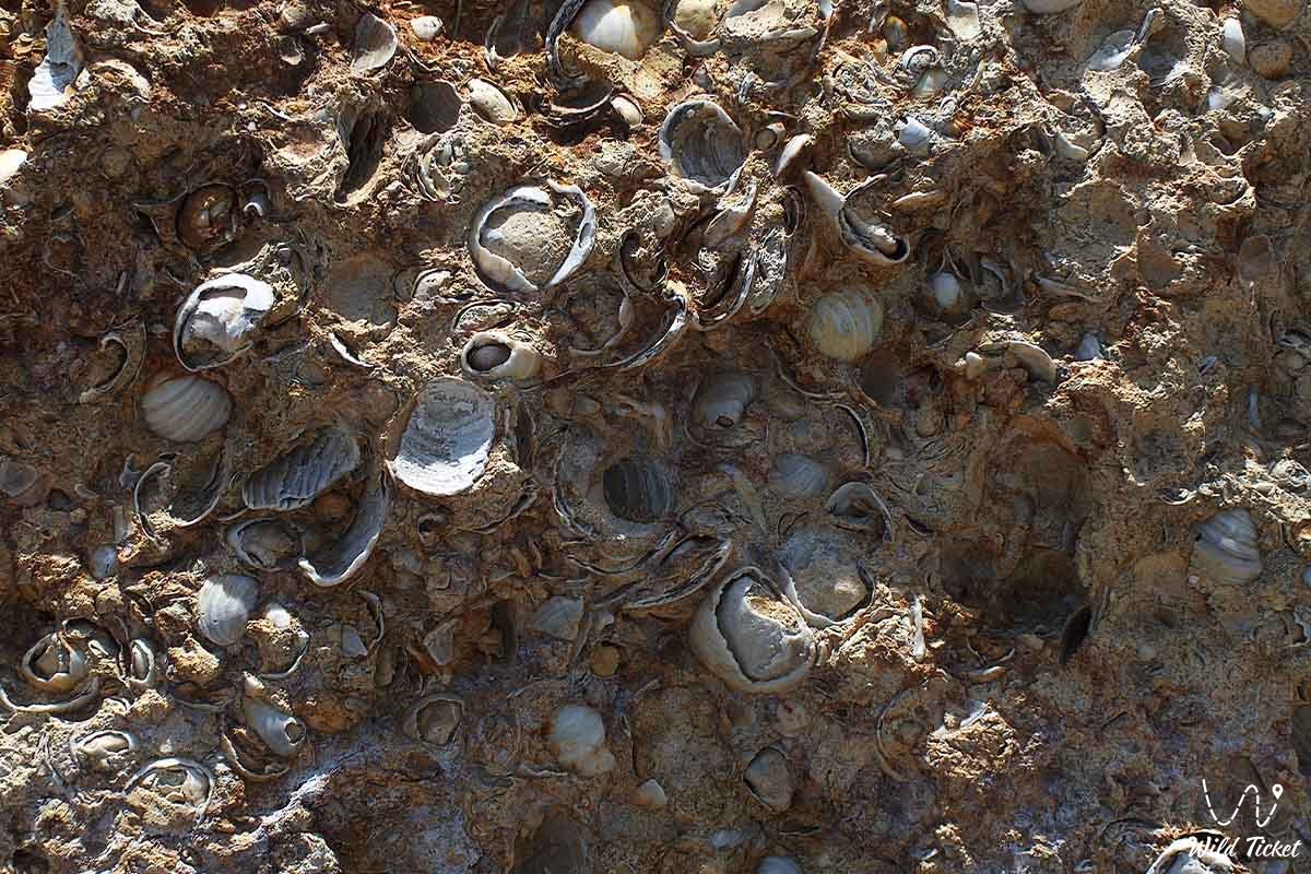
The geological chronicle of the Karagiye depression's formation began hundreds of millions of years ago at the bottom of the vanished Tethys Ocean. The territory is composed of Paleogene and Neogene strata of coquina limestones, marls, and clays. With the uplift of land and retreat of ancient seas, a decisive role was played by intensive tectonic subsidence, karst cave-ins, and centuries-long wind deflation. Soft rocks were blown away by gale-force winds and washed out by rare cloudbursts, deepening the landlocked basin step by step to record negative elevations.
Humans explored the borders of this gigantic hollow since the most ancient times. Along the plateau edges of Karagiye, archaeologists find stone tools from Neolithic and Bronze Age campsites, as well as medieval caravan routes that linked the Caspian coast with Khiva and Mangyshlak shrines.
Lake Karakol has a fundamentally different, anthropogenic-natural history. Until the 1960s, a dry coastal salt flat was located in its place. With the commissioning of the Mangystau Energy Plant and desalination units, pure warm water used for technological cooling began to be discharged into the endorheic lowlands. The basin filled rapidly, became overgrown with coastal reeds, and transformed into an exceptional, fertile oasis amid the waterless desert, attracting migratory bird flows from across Siberia and Eurasia.
To preserve rare species of desert fauna, the unique landscape of the deepest depression, and key nesting sites of waterfowl, the Karagiye-Karakol State Nature Zoological Sanctuary was established in 1986 by decree of the Council of Ministers of the Kazakh SSR.
Information
Geomorphologically, the territory of the sanctuary is divided into two distinct natural features. The Karagiye depression represents an enormous karst-erosional hollow with an elevation drop from +100–150 meters on the plateau down to minus 132 meters at the floor. The bottom of the depression is occupied by the boundless Batyr salt flat, covered by a thick crust of self-precipitating salt beneath which lie deep silty muds. Due to gigantic evaporation and superheating, the depression acts as a natural heat pump and generator of convective currents, frequently forming specific cloud cover above itself.
Lake Karakol represents a shallow lagoon about 15–18 kilometers long and up to 3–4 kilometers wide. The water in the lake is slightly brackish, remaining ice-free even during severe frosts thanks to the inflow of heated technological waters. This creates an ideal food base: algae, small crustaceans (Artemia), mollusks, and numerous fish species multiply in the water.
The climate of the region is extra-continental, semi-arid. Annual precipitation is extremely low – 100–140 mm. Winters near the seashore and at the bottom of the depression are comparatively mild but windy, while summers are long, dry, and exceptionally hot.
The environmental status of the sanctuary demands strict compliance with conservation rules: hunting, fishing, the use of motorboats, and disturbing birds during the nesting season are prohibited at Lake Karakol. On the territory of the Karagiye depression, motor vehicle traffic is allowed strictly along existing tracks, and collecting minerals and fossils is forbidden.
Detailed description of the venue
The territory of the Karagiye-Karakol sanctuary includes a whole complex of benchmark natural zones:
• Floor of the Karagiye depression and Batyr salt flat – a grandiose snow-white field of self-precipitating salt at a negative elevation down to minus 132 meters, creating the illusion of a boundless snow plain amidst a sweltering desert.
• Northern and eastern chinks of Karagiye – colossal stepped plateau scarps up to 200–250 meters high, composed of horizontal strata of limestones, sandstones, and colored clays, where traces of ancient geology are laid bare.
• Panoramic observation decks – equipped viewpoints along the Aktau – Zhanaozen highway offering a dizzying vista over the basin receding beyond the horizon.
• Waters of Lake Karakol – shallow reaches with islands and channels where giant colonies of waterfowl and wetland birds gather.
• Reed beds and coastal marshes of Karakol – dense natural biofilters and protective nesting refuges for rare avian species.
• Springs and ravines of Karagiye chinks – rare outflows of brackish and fresh groundwater at the base of the cliffs, forming micro-oases with thickets of tamarisk and black saxaul.
Flora and fauna
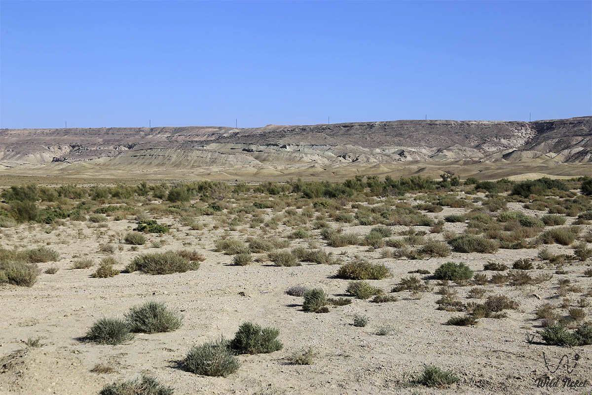
The plant world of the sanctuary is adapted to extreme salinity and drought. Caspian saltwort, boyalych, biyurgun, Lerche's and gray-soil wormwood, bean caper, and camelthorn grow on the plateau and scarp slopes. Black and white saxaul, tamarisk bushes, and nitre bush occur in gorges. Around Lake Karakol stretch continuous belts of common reed, glasswort, and sea clubrush.
The animal kingdom of the sanctuary is exceptionally rich and includes dozens of Red Book-listed species. The rare Ustyurt mountain sheep (mouflon), superbly adapted to life on vertical cliffs, inhabits the precipitous ledges of the Karagiye chinks. On clay and sandy plains roam the graceful goitered gazelle, corsac fox, steppe wolf, badger, marbled polecat, sand cat, and long-eared hedgehog.
The avifauna of Lake Karakol stuns with its diversity: over 170 bird species have been recorded here, of which more than 20 are included in the Red Book of Kazakhstan.
The calling card of the lake is thousands-strong flocks of greater flamingos feeding in the shallows. Dalmatian and great white pelicans, mute swans, whooper swans, Eurasian spoonbills, glossy ibises, squacco and grey herons, and white-tailed eagles also dwell here. Golden eagles, saker falcons, steppe eagles, and long-legged buzzards soar in the sky above the chinks of the depression.
Mullet, carp, Caspian roach, and pike perch inhabit the waters of Lake Karakol and the adjacent Caspian Sea, while in the winter period Caspian seals haul out onto the Caspian shoreline.
Legend
A Kazakh nomadic legend about the "Black Jaws" is associated with the origin of the name and the somber fame of the Karagiye depression. Elders used to recount that in time immemorial, a flourishing and abundant lake of clear water spread across the site of the depression, bordered by the encampments of hospitable pastoralists. But one day, a mighty khan came to the steppe, determined to subjugate the free batyrs and claim the lake for his sole possession.
When the khan's ruthless army encircled the shores, the earth shook with the wrath of the steppe spirits. A deafening underground roar erupted, the ground split apart, and the lake, along with the khan's pavilions, plunged into a bottomless abyss. A giant black chasm formed, belching plumes of salty dust and hot wind, which the nomads named Karagiye – "the black slope", serving as an enduring reminder of the vanity of earthly wealth before the majesty of nature's forces.
Conclusion
The Karagiye-Karakol Nature Sanctuary is an authentic jewel of the Mangystau land, combining the planetary scale of a bottomless tectonic depression with the life-giving harmony of an avian paradise at Lake Karakol.
A journey through the sanctuary offers an incomparable experience: the chance to stand at minus 132 meters below sea level, observe graceful greater flamingos against the backdrop of a Caspian sunset, and take in the primeval silence of ancient chinks.
Interesting sights nearby:
• Ustyurt Plateau;
• Caspian Sea;
• Sandy Cape;
• Karaman-Ata Underground Mosque;
• Koshkar-Ata Necropolis;
• Kuandy Depression;
• Saura Tract;
• Mount Otpan-Tau and Aday-Ata Memorial Complex;
• Bozzhira Tract;
• Ustyurt Reserve.
Photogallery: