Grandiose water basin of the Mesozoic Era in Western Kazakhstan –
The Tethys Ocean (an ancient ocean that separated the supercontinents of Laurasia and Gondwana during the Mesozoic Era) represents the fundamental historical and geological foundation that determined the entire modern appearance of the Mangystau region and the Ustyurt Plateau. Hundreds of millions of years ago, warm equatorial waters of a deep-water and shallow-water oceanic barrier surged in place of the boundless deserts, chalk canyons, sheer chinks, and salt flats of Kazakhstan.
Sedimentary deposits of the Tethys Ocean formed thick strata of limestones, marls, coquina beds, and white chalk up to 250–300 meters thick. When the bed of the ancient sea was uplifted to the surface as a result of Alpine tectogenesis and continental convergence, erosion and weathering exposed these geological layers. Today, it is precisely the traces of Tethys that attract travelers from all over the world to the Mangyshlak Peninsula: fossil shark teeth, ammonite shells, belemnite rostra, and petrified remains of ancient fauna are encountered everywhere in the canyons and tracts of Bozzhira, Kyzylkup, Mount Sherkala, and at the bottom of the Zhygylgan sinkhole.
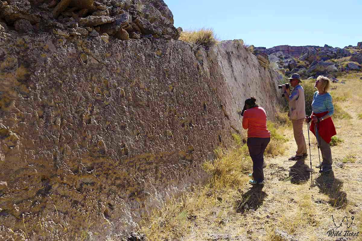
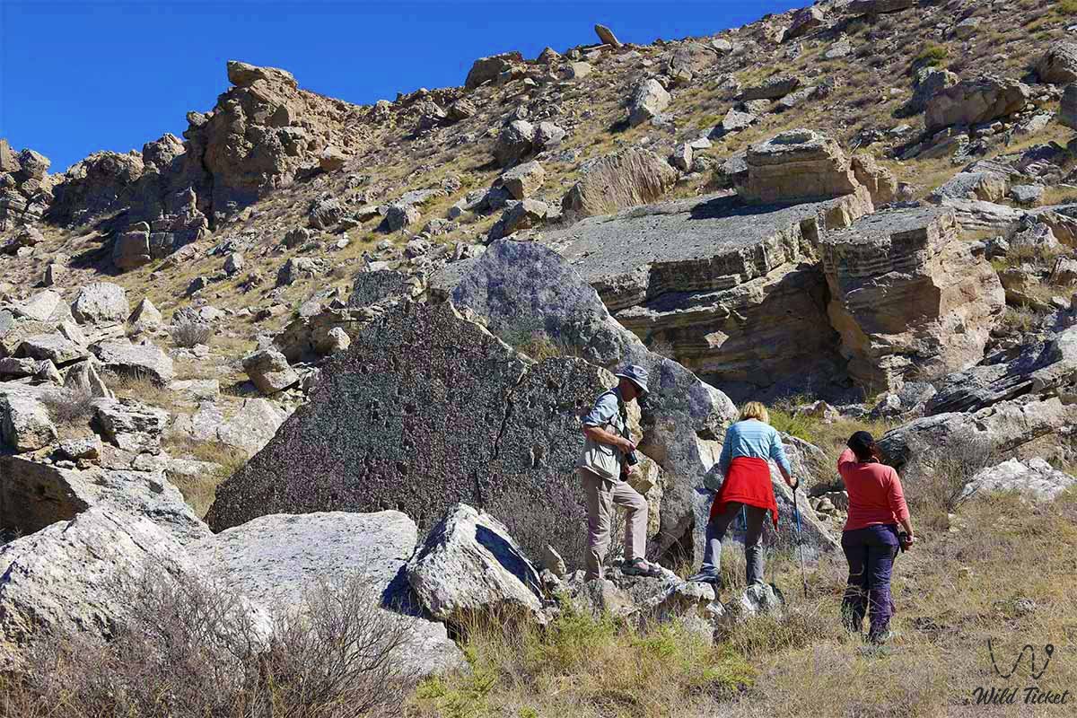
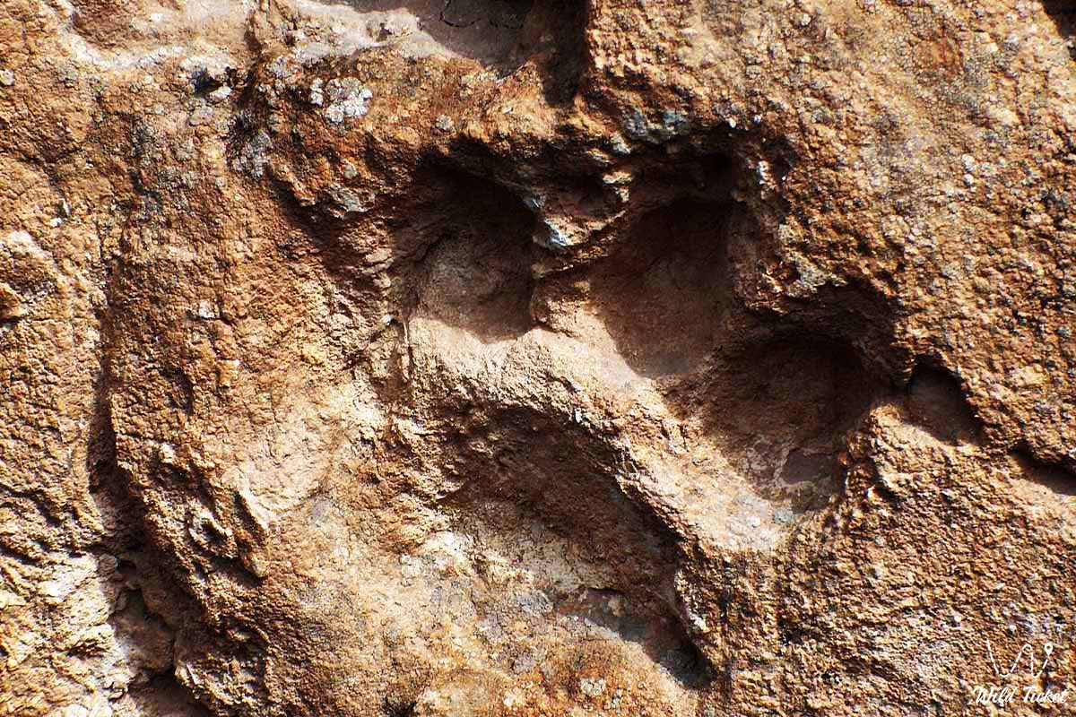
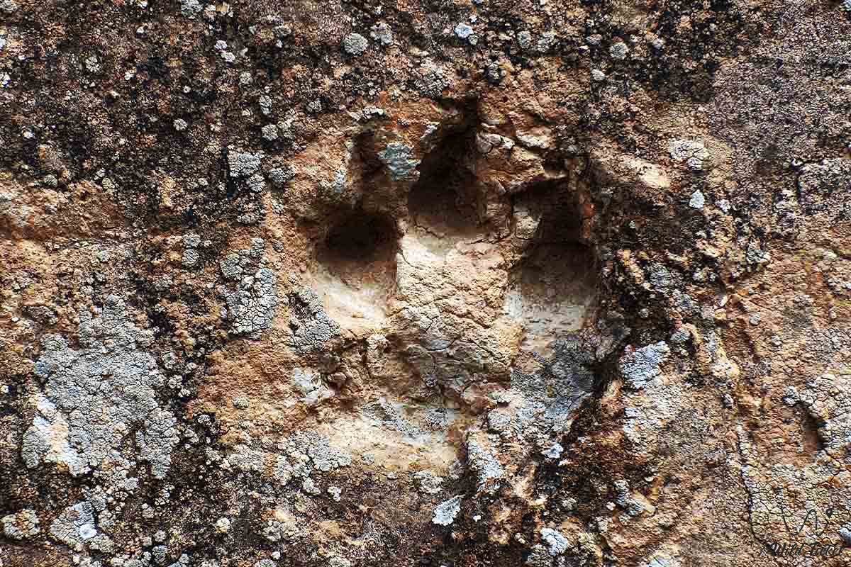
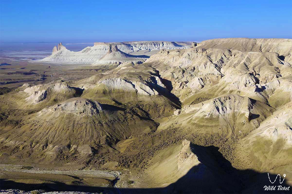
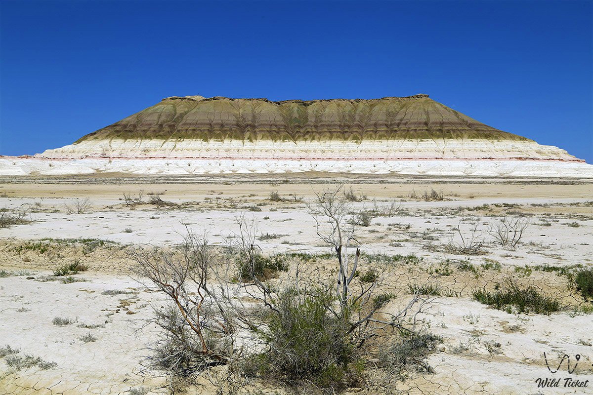
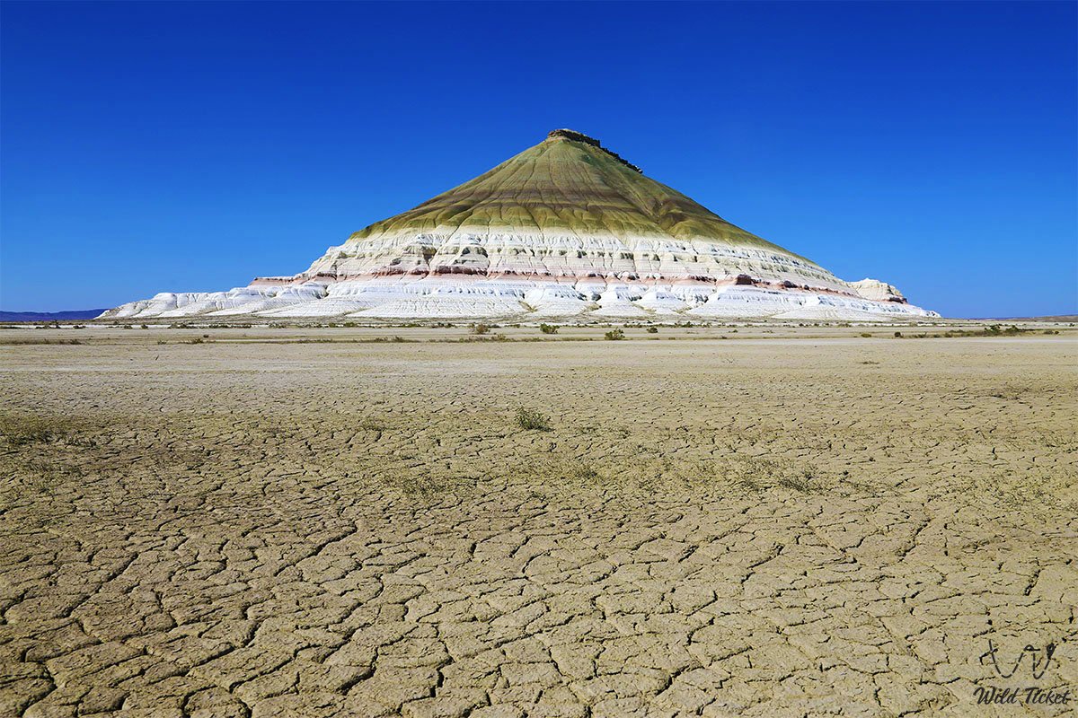
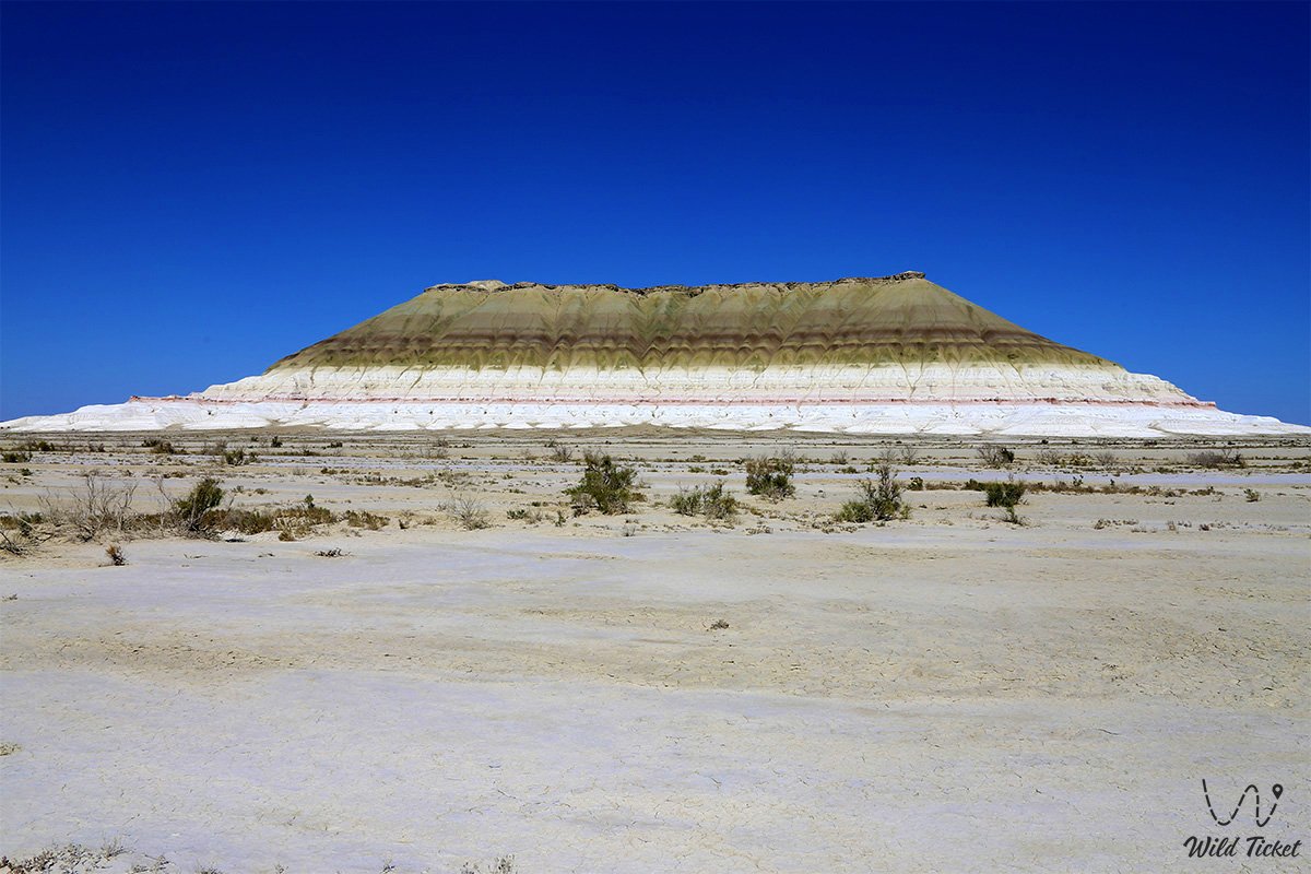
Mangystau's natural monuments and sacred sites are inextricably linked to the history of Tethys: the Martian towers and remnant outliers of the Bozzhira tract, the red-and-white layered hills of the Kyzylkup tract ("Tiramisu"), the monumental pyramid of Mount Bokty, the cliffs of the Zhygylgan tract with ancient footprints of Neogene machairodonts, and the Beket-Ata underground mosque in Oglandy are carved into the limestone strata born at the bottom of this prehistoric ocean.
Today, the geological heritage of the Tethys Ocean in Mangystau is recognized as an asset of planetary significance, transforming the peninsula into a unique open-air museum of natural history. On the bed of the former ocean, even the Silicon Valley of Mangystau, littered with flint fragments, has survived. Likewise, on the floor of the former sea, one can descend into the famous Utebay cave cavity and the Balayuk cave.
--------------------------------------------
How to study and explore –
Traces of the ancient Tethys Ocean can be traced at virtually every key location in the Mangystau region, situated at a distance of 110 to 300 kilometers from the regional center, the city of Aktau, Tupkaragan district, Republic of Kazakhstan.
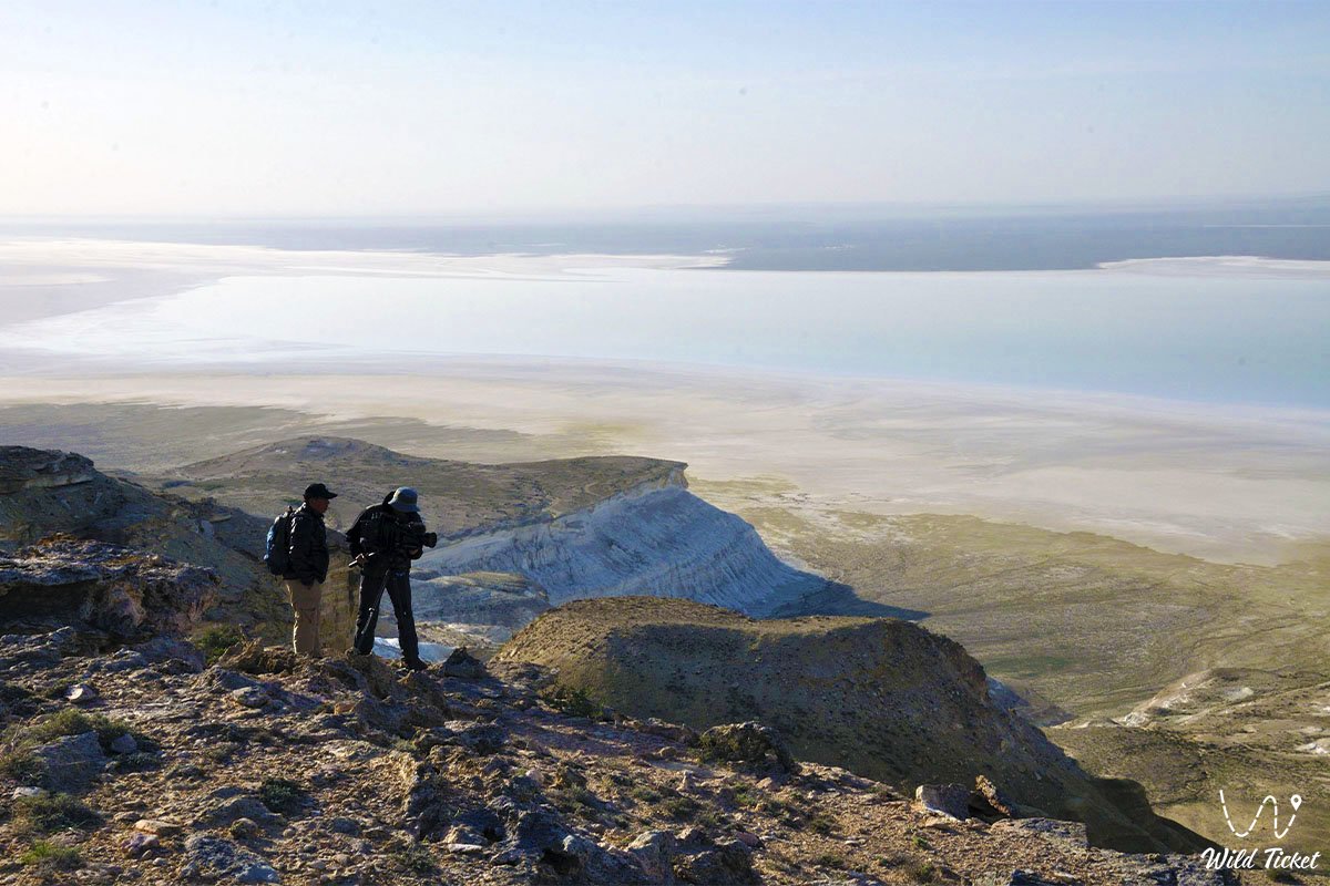
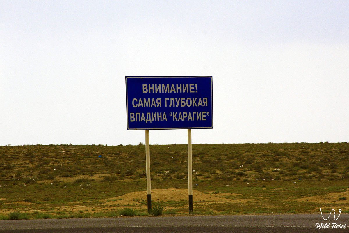
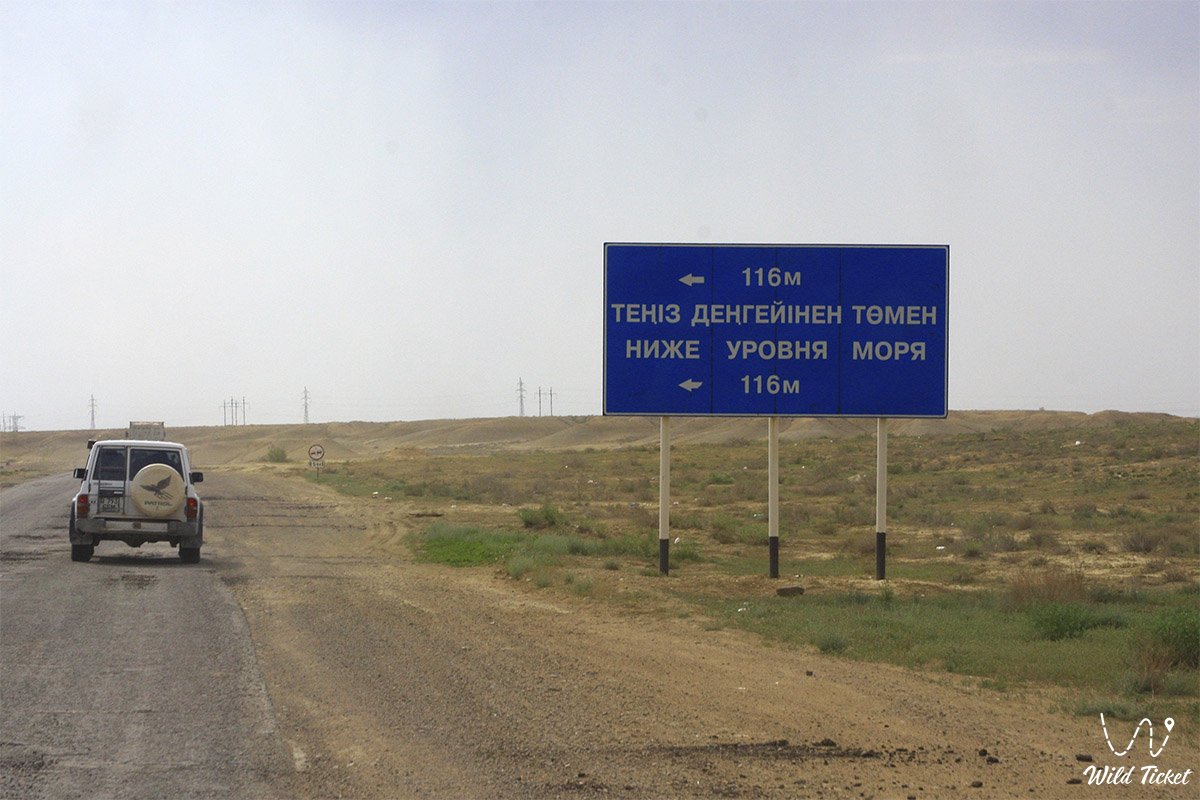
Traveling across the "seabed" encompasses both the northern districts of the peninsula (Cape Tyubkaragan and peninsula, the Zhygylgan collapse tract, and the Tamshaly and Kapamsay canyons) and grandiose southern expedition routes to the Ustyurt Plateau (Fangs of Bozzhira, the Karynzharyk depression, the Karagiye depression, the Ustyurt Reserve, the village of Senek, and its spiritual shrines: the Nurbergen Kalyshev mausoleum and the Senek necropolis).
GPS geographical coordinates of the base sector of the Bozzhira tract and the central zone of oceanic chinks: 43°27'10"N 54°05'11"E
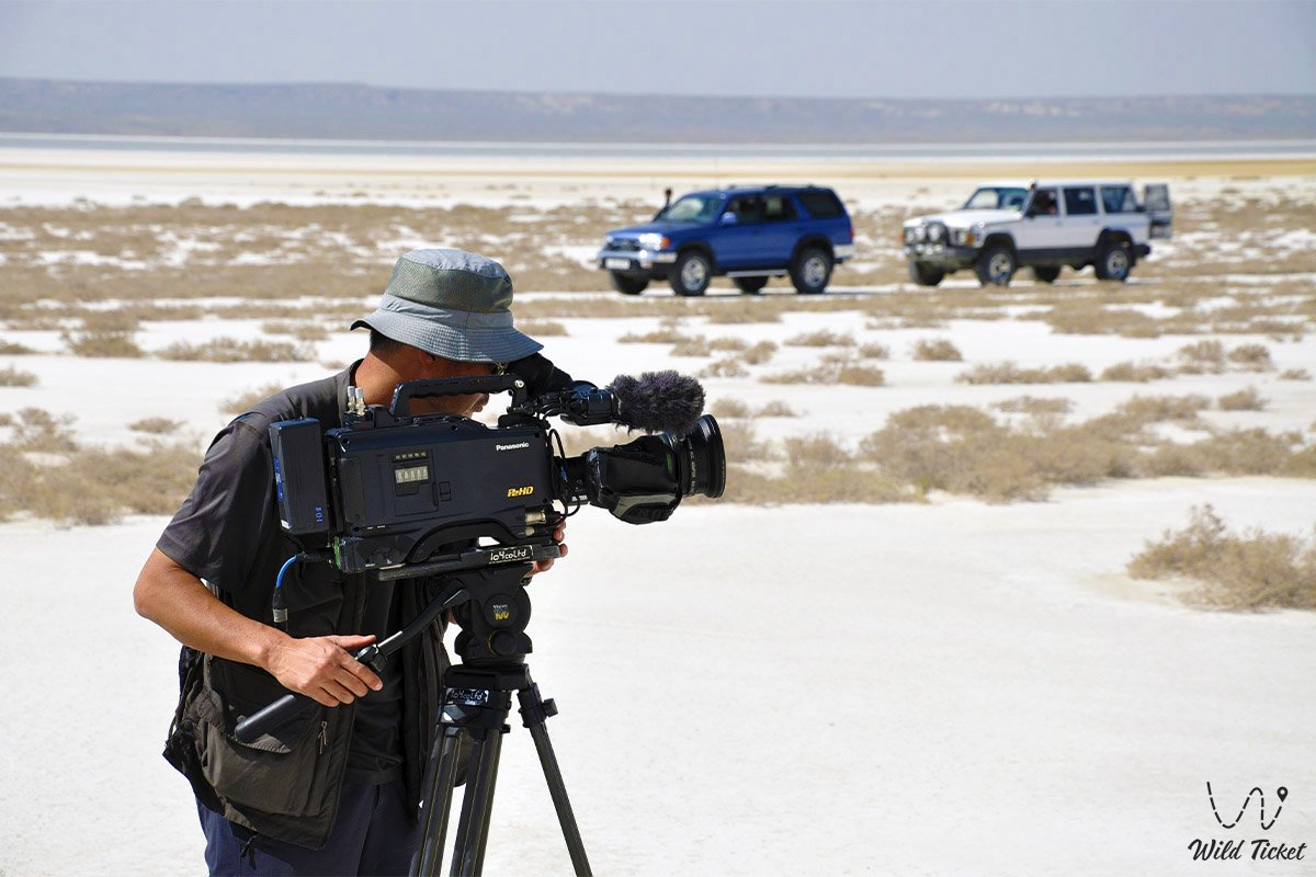
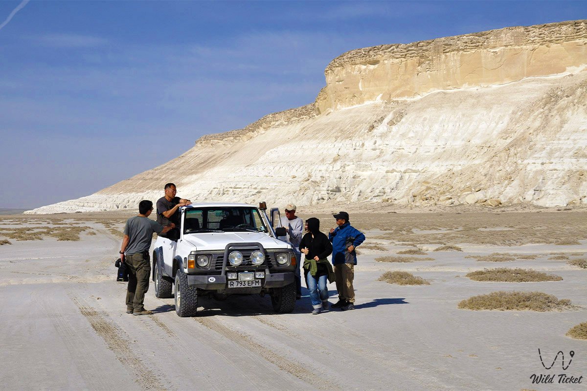
Transport logistics depend on the chosen direction: high-quality paved highways lead from Aktau to the northern sites of Tupkaragan via Fort-Shevchenko or the city of Zhanaozen, whereas venturing south into the canyons of Ustyurt requires preparation – reliable four-wheel-drive off-road vehicles (4x4), navigation equipment, and self-sufficient supplies.
Comfortable trekking footwear with durable soles, head coverings, sunglasses (white chalk is blinding to the eyes), and a generous supply of drinking water at a rate of no less than 2–5 liters per person per day are mandatory for journeys across the bed of the ancient ocean. Traveling along the steppe graded gravel tracks of Ustyurt is recommended in a convoy of at least two vehicles due to the lack of mobile reception and for mutual assistance.
The best time to study paleogeological sites is spring (from late April to late May) and early autumn (September – October). In July and August, temperatures on open limestone plateaus exceed +40...+45 °C, and sun-baked rocks intensify the heat.
Infrastructure is developed in major towns (Aktau, Zhanaozen, Fort-Shevchenko), whereas in the central part of the former oceanic bed (Bozzhira, Kyzylkup, Zhygylgan), tourists must rely entirely on autonomous field camps and tent equipment.
--------------------------------------------
History
The geological chronicle of the Tethys Ocean spans a colossal time interval of the Mesozoic and Cenozoic eras (from 250 to 40–50 million years ago). The vast water basin stretched from modern Europe and North Africa to South Asia and the Pamirs, separating ancient continental platforms.
Continuous sedimentation took place over millions of years across the territory of modern Mangyshlak and the Ustyurt Plateau. During periods of stable marine conditions, myriads of microscopic organisms, foraminifera, and algae inhabited the warm tropical waters; upon dying, their calcareous shells settled to the bottom, forming thick strata of pure white chalk and writing marls.
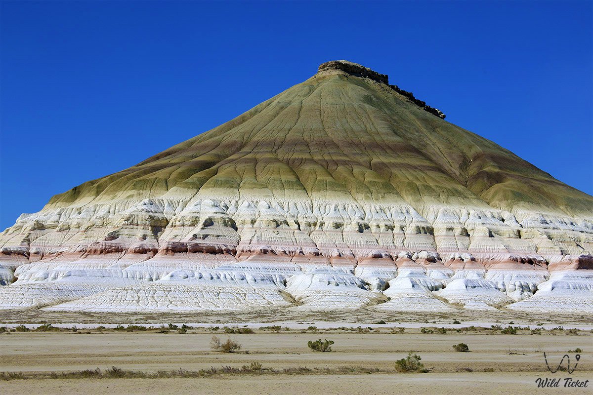
During epochs of tectonic shifts and changes in river runoff from ancient landmasses, enormous volumes of clay particles and iron oxides were discharged into shallow bays and lagoons. The oxidation of minerals under hot climatic conditions tinted distinct sediment horizons in bright crimson, terracotta, pink, and ochre tones (as seen in the Kyzylkup and Bokty tracts).
Around 40–60 million years ago, global Alpine orogeny began: lithospheric plates collided, causing a large-scale uplift of the Tethys Ocean floor. The water gradually retreated, leaving behind isolated relict water bodies – the Sarmatian and Akchagylian seas, traces of which are recorded in the Neogene deposits of Cape Zhygylgan.
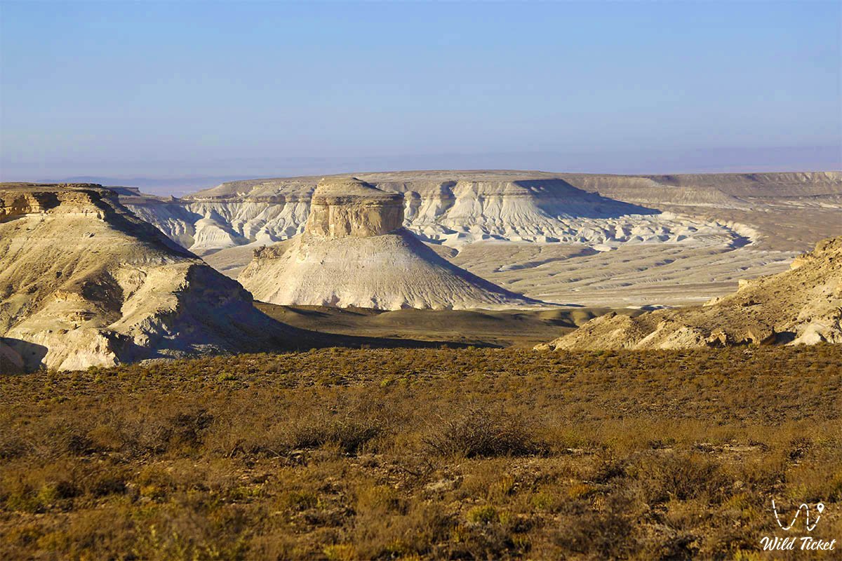
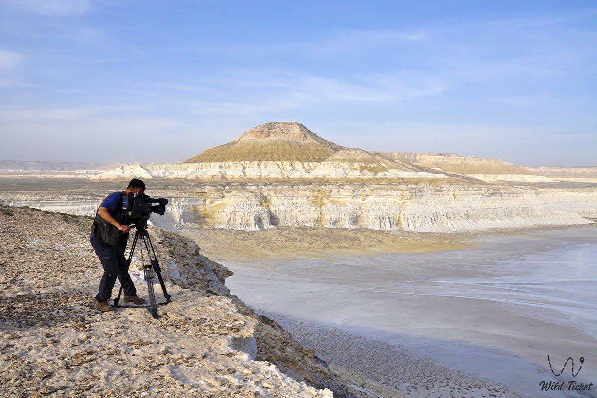
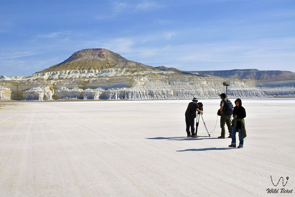
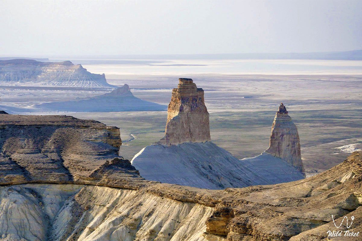
The definitive drainage of the region about 5 million years ago paved the way for exogenic processes. Torrential downpours, diurnal temperature fluctuations, and steppe winds carved the soft marine sediments over millions of years, creating grandiose canyons, precipitous chinks, and isolated table-shaped remnant mountains.
Information
From a geological standpoint, all major landscapes of Mangystau represent a classic sedimentary cover of the Turan Plate, composed of Mesozoic and Cenozoic marine deposits.
The stratigraphic section of the region includes:
• Upper Cretaceous deposits – thick units of pure white carbonate chalk and soft marls that form the lower tiers of the Bozzhira and Oglandy chinks.
• Paleogene and Neogene strata – sandstones, clays, and dense coquina limestones that form the protective "caps" of table mountains and slabs of the Caspian coast.
The paleontological wealth of the former Tethys bed stuns the imagination. In screes at the foot of chalk outliers, marine fossils are encountered everywhere: teeth of ancient sharks and rays, spiral ammonite shells, belemnite rostra ("devil's fingers"), imprints of bivalve mollusks, cardiids, and fossilized sea urchin tests.
The climate of the region is sharply continental and ultra-arid, with sparse precipitation (100–160 mm per year). The severity of the desert climate is underscored by the complete absence of permanent surface freshwater streams: all water resources are concentrated in subterranean artesian horizons and springs in deep canyons.
The ecology of the territory requires conscientious care: fragile chalk slopes and paleontological strata are damaged under vehicle wheels and hikers' footsteps, making movement strictly regulated.
Detailed description of the venue
The geological and landscape manifestations of the Tethys Ocean in Mangystau encompass several outstanding natural zones:
• Chinks of the Ustyurt Plateau – grandiose stepped precipices up to 250 meters high, serving as a direct stratigraphic cross-section of the ancient seabed.
• Limestone outliers "Fangs of Bozzhira" – vertical geological towers carved out of ancient marine silts at the bottom of the canyon.
• Red-and-white layered hills of Kyzylkup – polychrome outcrops of Paleogene clay and carbonate sediments exposing sedimentation cycles of Tethys.
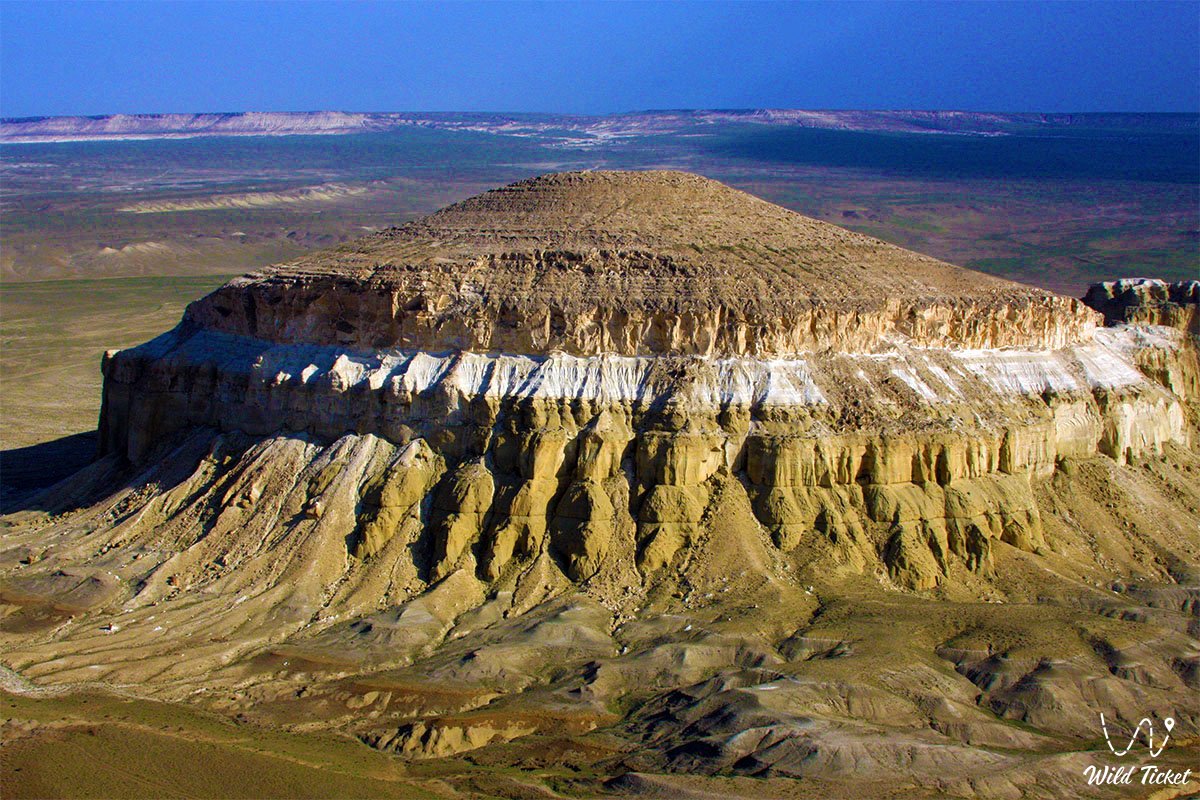
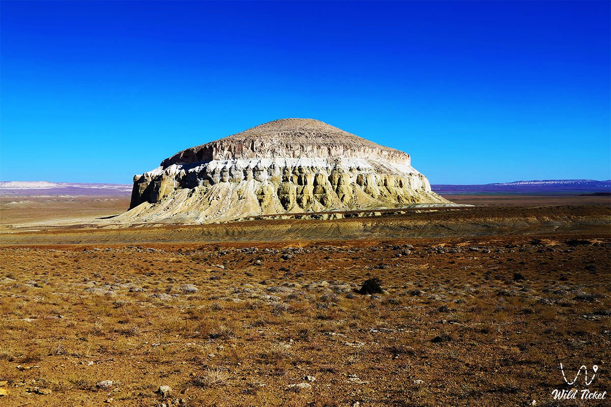
• Table Mount Bokty – an isolated remnant mountain with regular geometric strata demonstrating a vertical profile of marine epochs.
• Paleontological slabs of Zhygylgan – petrified strata of shallow-water sandstone bearing imprints of Miocene fauna that once roamed the silty shore of a Tethys relict.
• Beket-Ata underground mosque in Oglandy – a sacred temple hewn by a monk in a homogeneous stratum of white Upper Cretaceous marl.
Flora and fauna
The plant world of the region is represented by typical xerophytes, halophytes, and petrophytes of arid zones adapted to growing on saline marine loams and stony plateaus. Gray-soil and Turanian wormwood, salt-marsh biyurgun, boyalych, itsegek (anabasis), spiny bean caper, and sparse bushes of black saxaul grow on limestone outcrops and in ravines. Relict willows and tamarisk thickets survive in sheltered canyons with springs (Saura, Tamshaly). In spring, the stony desert is briefly carpeted with ephemerals and wild tulips.
The fauna of Mangystau is closely linked to the evolution of landscapes following the retreat of the sea. The Ustyurt mountain sheep (mouflon) – a regional endemic listed in the Red Book of Kazakhstan – inhabits hard-to-reach chinks and outliers. Goitered gazelles, saiga antelopes, corsac foxes, badgers, and steppe polecats occur on the plains and salt flats.
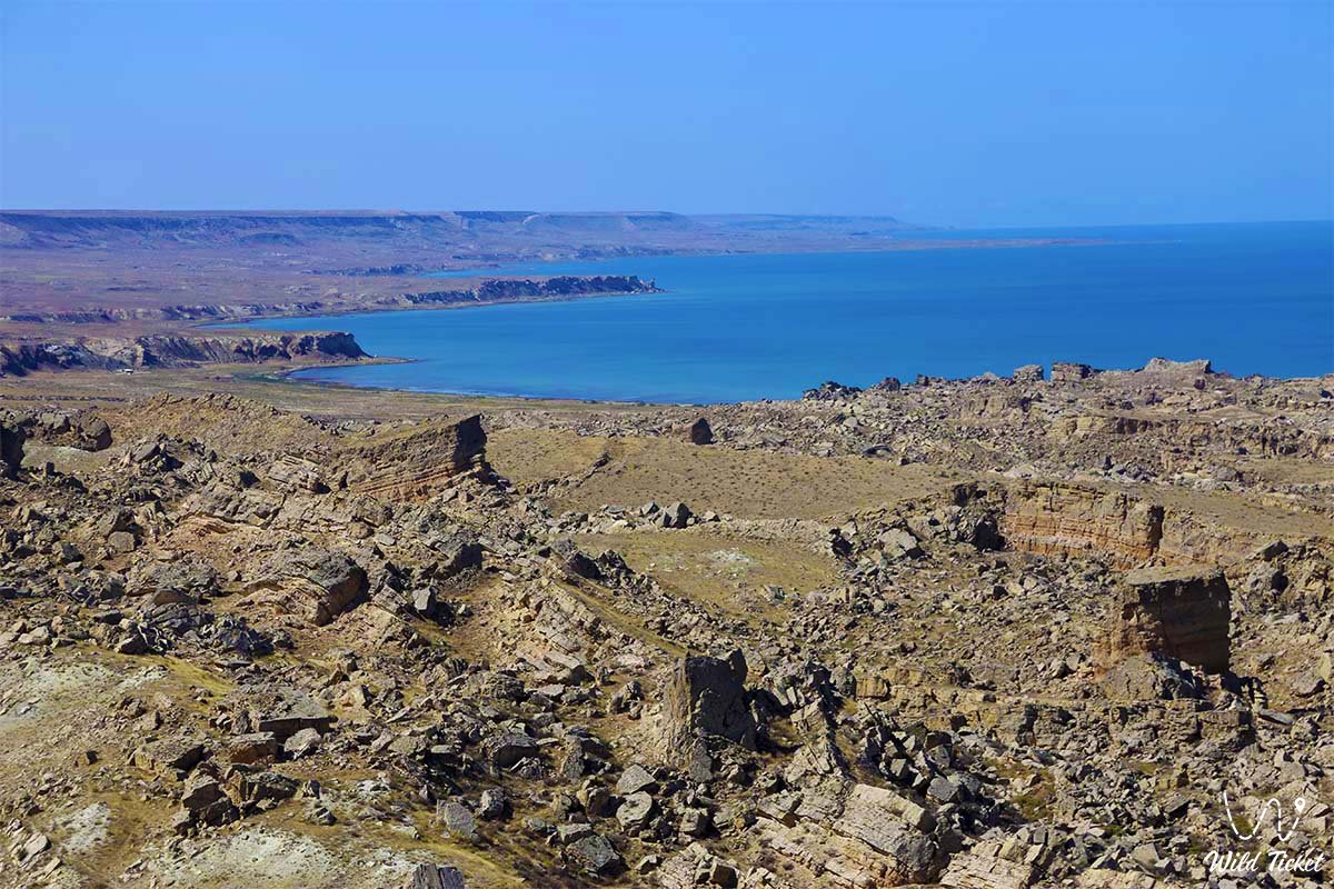
The reptile world is represented by toad-headed agamas, Ustyurt geckos, steppe agamas, and whipsnakes. Large predatory birds soar in the sky above the former ocean bed – golden eagles, long-legged buzzards, saker falcons, and eagle owls. The endemic Caspian seal resides in the waters of the modern Caspian Sea – a living reminder of ancient marine epochs.
Legend
Numerous nomadic legends are linked to the retreat of the great ocean's waters and the appearance of Mangystau's cliffs. One of the most poetic tales recounts that in immemorial times, at the behest of supreme spirits, the marine abyss of Tethys had to depart into underground treasuries to give life to the boundless golden steppe.
Unwilling to part with his dominion, the sovereign of the seas left the petrified footsteps of his guardians on land, transformed the royal sails into the white fangs of Bozzhira, and sealed the waves into strict pyramids of mountains and multicolored hill patterns so that every traveler would remember the former grandeur of the water element. Nomads believed that the echo of the ancient ocean still resonates at night in the silence of the canyons, healing the souls of lost wanderers.
Conclusion
The Tethys Ocean in Mangystau is a great invisible thread linking the deep geological history of the planet with the dazzling beauty of the modern desert. Its waves frozen into chalk and marl, coquina slabs, and fossils turn every corner of the peninsula into a grandiose natural museum.
A journey following the traces of Tethys offers a rare opportunity to touch eternity, sensing the fragility of human existence against the backdrop of monumental creations of ancient water and time.
Interesting sights nearby:
• Caspian Sea;
• Kenty-Baba Necropolis;
• Sultan-Epe Canyon;
• Heart-Shaped Lake Kuzdykary;
• Mount Borly-Tau;
• Mount Otpan-Tau and Aday-Ata Monument;
• Shomanay Mountains;
• Akespe Tract on Mangyshlak;
• Flying Saucer-Shaped Mount Sherkala;
• Shatkal Canyon;
• Mount Shokytau;
• Mount Ushkirtaw;
• Utebay Tract;
• Kokala Tract;
• Kenderli Steppe Salt Marsh.
Photogallery: