Climatic profile of the North Turan desert province and the impact of the Aral Sea desiccation -
The climate of the territory of the Barsakelmes State Nature Biosphere Reserve and the adjacent Kazakhstani part of Kazakhstan Priaralye is part of the continental North Turan climatic province of the desert zone.
Forming under the dominant influence of continental Siberian and Arctic air masses, it has a sharply continental character with large annual and diurnal amplitudes of air temperature, low cloud cover, high variability of climatic indicators over time, and an acute deficit of atmospheric precipitation.
The region is characterized by an extremely low temperature background in winter and a significant duration of the cold period of the year.
The basic climate-forming factors are solar radiation and general atmospheric circulation. The average annual value of total solar radiation here is 142 kcal/cm², which causes extremely hot and dry weather in the summer period.
The characterization of the region's climatic conditions relies on long-term observation series from two key meteorological stations: the "Barsa-Kelmes" station, located directly on the territory of the reserve, and the "Uzynkair-Bayan" station on the eastern coast of the Aral Sea.
The wind regime is distinguished by a stable predominance throughout the year of winds from northeastern directions with an average speed of 3.5–6 m/s and an annual recurrence of 45 to 55%. In winter, the territory is under the constant influence of the periphery of the powerful Siberian anticyclone, which is why the recurrence of northerly winds in January is noticeably higher than in July, and regular intrusions of cold air masses lead to severe frosts.
In summer, the structure of the wind field reorganizes due to the influence of a high-pressure ridge over the Ustyurt Plateau. On the peninsula and tract of Barsakelmes itself, wind speeds are noticeably higher than on adjacent plains due to the orographic features of the elevated plateau.
The sharp fall in the level of the Aral Sea and its division into the Small Aral (North Aral Sea) and the Large Aral (Large Aral Sea or South Aral) fundamentally altered the meteorological balance: the reduction in the area and volume of the water mirror led to a drop in the heat storage of the water body. This caused an increase in continentality: January temperatures decreased by 1–2 °C, while July temperatures increased by 2–2.5 °C. The disappearance of the natural hydrological buffer intensified aridity, provoking the development of regular salt-and-dust storms and the degradation of natural freshwater lenses.
--------------------------------------------
How to get there and visit -
The protected tracts of "Barsakelmes" and "Kaskakulan" are located in the southwestern part of the Aral district, Kyzylorda region, Republic of Kazakhstan, 180–250 kilometers southwest of the district center – the city of Aralsk.
The route starts from Aralsk along the "Samara – Shymkent" international highway (M-32), passes through the delta villages of Karateren, Akespe, Tastubek, and Akbasty.
From the point of view of climatic comfort, the ideal time to visit is spring (from mid-April to late May), when the snow cover has already melted, temperatures remain within comfortable limits of +15...+22 °C, and the steppe blooms briefly, or early autumn (September – early October). During summer months, dangerous heat exceeding +40...+44 °C reigns on the plateau, while in winter gale-force winds of up to 18–24 m/s rage alongside frosts down to -36 °C.
--------------------------------------------
History
The history of climatic research in the Barsakelmes area originates in the middle of the 19th century. The first scientific observations of the temperature regime, windstorms, and precipitation deficit were carried out in August 1848 by the expedition of Lieutenant Commander Alexei Ivanovich Butakov on the schooner "Konstantin".
Officers A. I. Maksheev and A. A. Akishev maintained continuous watch meteorological logs, recording the strength of coastal breezes and atmospheric pressure. Serving in this expedition was the exiled Ukrainian poet Taras Shevchenko, who captured atmospheric phenomena, weathered cliffs, and storm horizons of the Aral Sea in his paintings.
In July 1900, a detailed characterization of the climate and the influence of the marine basin on the adjacent semi-deserts was compiled by the prominent geographer Lev Semyonovich Berg.
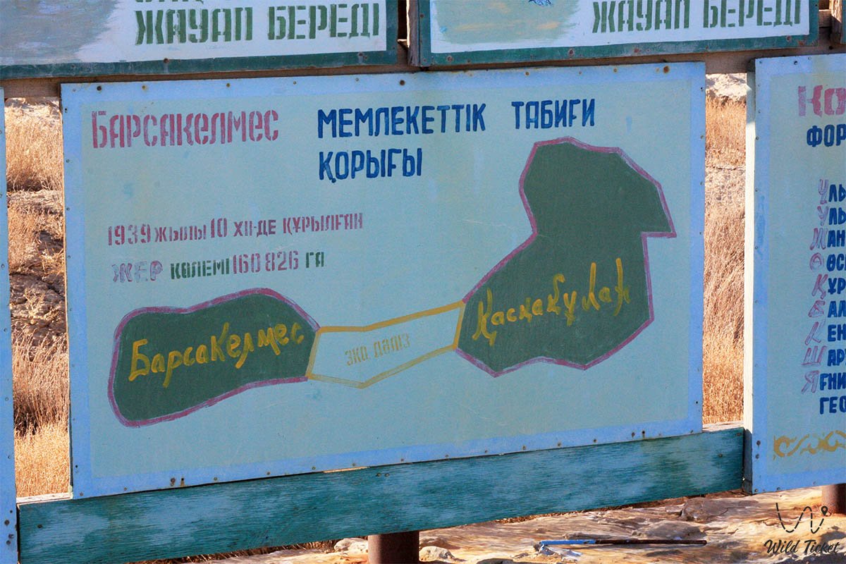
Systematic instrumental climatic monitoring began in 1929 with the establishment of the "Soyuzpushnina" hunting enterprise and the foundation of the Barsakelmes State Nature Reserve on December 10, 1939.
A permanent meteorological station, "Barsa-Kelmes", was opened on the island, and the base station "Uzynkair-Bayan" began operations on the eastern coast of the sea. During the arduous field seasons of 1940–1941, graduates of the S. M. Kirov Kazakh State University conducted comprehensive meteorological observations here.
In the second half of the 20th century, meteorologists recorded a planetary tragedy: as the sea grew shallow, the climate rapidly lost its features of marine moderation. While prior to 1960 the water mass smoothed temperature fluctuations (in winter the coast was 1–2 °C warmer and in summer cooler than deep inland), with the retreat of the sea, continentality rose sharply.
Fresh groundwater lenses feeding the wells became salinized and depleted, which forced scientists in 1982–1991 to evacuate over 250 kulans to other nature reserves of Kazakhstan.
In the 1990s, the "Barsa-Kelmes" station was mothballed, but regular collection of microclimate data continues by the scientific department of the reserve in cooperation with scientists from the Korkyt Ata Kyzylorda University.
Information
Long-term meteorological data from the "Barsa-Kelmes" and "Uzynkair-Bayan" stations provide an accurate physical picture of the reserve's climatic parameters:
The temperature regime is characterized by high contrast. The average air temperature in July is +25...+26 °C, with an absolute maximum reaching +42...+44 °C. The average temperature of the coldest winter month (February) is -10...-13 °C, the average January temperature is -8.8...-13 °C, and the absolute minimum drops to -34...-36 °C. In winter, thaws with positive average daily temperatures are not uncommon, caused by the influx of warm air masses from the southwest.
The duration of the period with sub-zero temperatures ranges from 120 to 150 days per year. Sub-zero average daily air temperatures persist on average from the first decade of December to the third decade of March. The period with an average daily temperature above 0 °C lasts 227–237 days – it begins on March 20–25 and ends on November 8–13. The duration of the frost-free period is 173–178 days (according to other long-term datasets, the absolutely warm season reaches 204–223 days). The depth of soil freezing averages 45 cm, with complete thawing recorded at the end of March.
Air humidity in summer is insignificant – average monthly figures are only 40–50%. Overcast days in summer are rare (fewer than 10 days per season), whereas in winter cloud cover reaches 50%. Spring is distinguished by extreme transience: the snow cover melts rapidly, accompanied by a sharp jump in temperatures.
Atmospheric precipitation is extremely scarce – the average annual norm is only 126–128 mm (ranging by year from 25 to 208 mm). The main mass of precipitation falls during the cold period of the year. The wettest months are the transitional months of April and October: their precipitation amounts are virtually equal, but cyclonic activity often makes October rainier than April. In July, an acute deficit of moisture is consistently recorded, caused by the dominance of a high-pressure area during the western type of circulation. The number of days with precipitation in the cold period is almost one and a half times greater than in the warm period, with rain occurring one and a half times more frequently than snow.
During the winter season, about 20% of the average annual precipitation norm falls. A stable snow cover with a depth of 10–15 to 40 cm forms in the second half of December and melts in the second decade of March, persisting for about 80–90 days (in individual years from 42 to 118 days). The snow is often unstable due to thaws, and under the influence of frequent strong winds it compacts quickly, reaching a density of up to 0.30 g/cm³ as early as the second decade of January.
The wind regime is distinguished by extreme severity: in the winter period, between 8 and 31 days with sharp winds at speeds of 12–18 m/s are recorded. On the peninsula and tract of Barsakelmes, the recurrence of strong winds is abnormally high, reaching 44 days per year. Throughout the year, northeastern winds dominate (recurrence of 45–55% with an average speed of 3.5–6 m/s; in January their recurrence is 24–32% with storm gusts up to 20–24 m/s). The number of days with storm winds reaches 14 per month during the passage of cold cyclones from the northwest. In spring, the recurrence of northeastern winds decreases to 20–22%, while the proportion of westerly winds increases (speeds of 5–7 m/s). In summer, northerly winds prevail at speeds of 4–6 m/s, and in autumn northeastern and easterly flows intensify.
A consequence of the influence of the marine water area is a high recurrence of fogs: on the coast, the number of days with fog reaches up to 32 per year (decreasing eastward to 22 days). The main fog seasons are the winter months, March in spring, as well as October and November in autumn.
Detailed description
The meteorological complex of the reserve is manifested through the orographic and climatic zones of the tract:
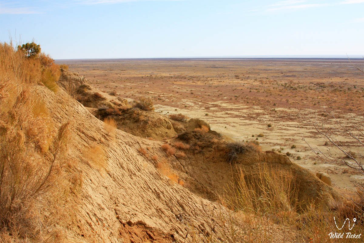
• Plateau of the Barsakelmes tract – an elevated table massif with heights up to 108–113 m above sea level, where maximum wind loads (up to 44 storm days per year) and high evaporation are recorded.
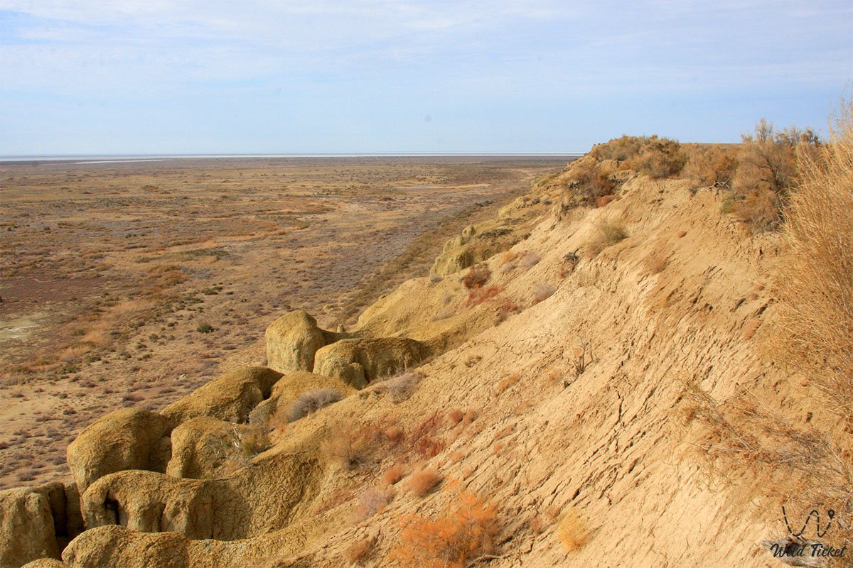
• Chinks of the southern coast – rocky ledges up to 60 meters high that form local microclimatic screens, blocking cold flows and creating shaded zones.
• Kebirsay erosional ravines (Eastern and Western) – ravine labyrinths where snowdrifts with a density of up to 0.30 g/cm³ accumulate in winter, and in summer the surface layer of air heats up above +45...+50 °C.
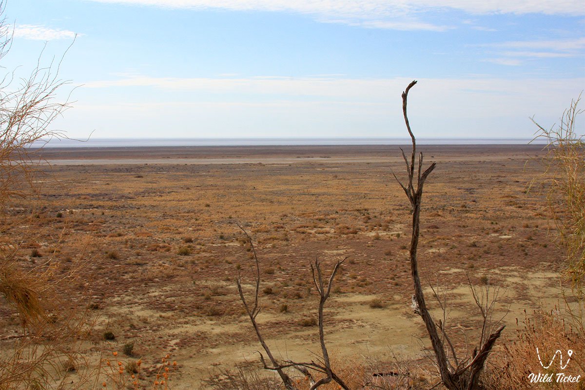
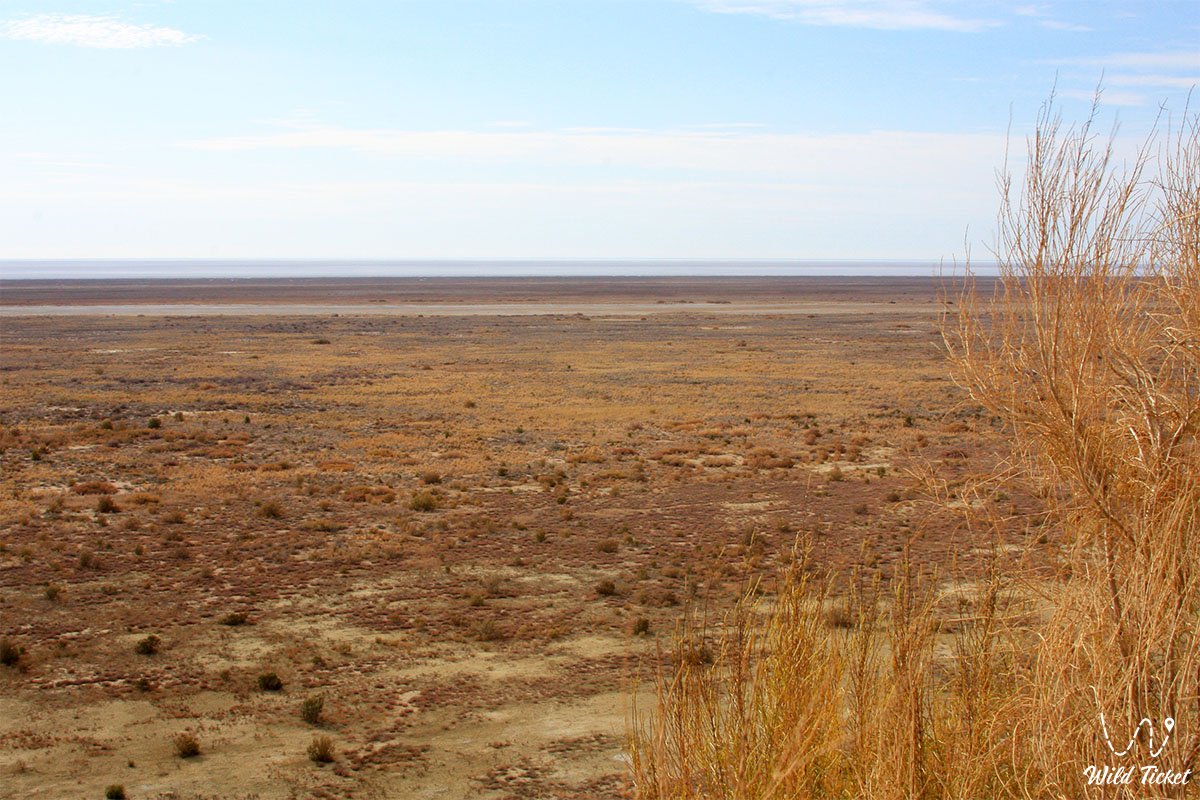
• Drained seabed zone (Aralkum Desert) – vast expanses of marsh salt flats serving as a source for the formation of thermal vortices and deflation of salt aerosols during northeastern winds.
• "Kaskakulan" cluster – the eastern protected sector, whose microclimate is significantly moderated by three active artesian fountains, extensive reed beds, and saxaul stands.
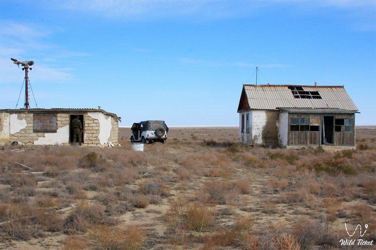
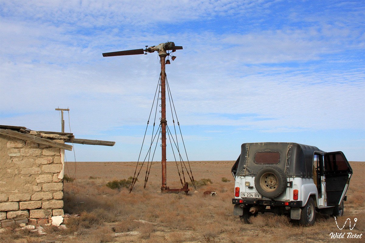
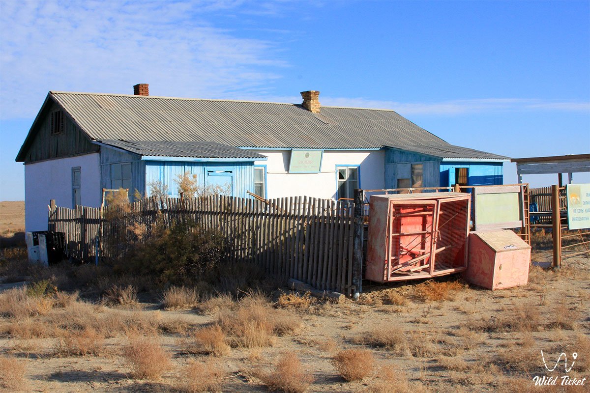
• Historical site of the "Barsa-Kelmes" meteorological station – a scientific location on the northern gentle slope of the tract, where round-the-clock collection of climatic data series was conducted for decades.
• "Uzynkair-Bayan" base meteorological zone – a coastal monitoring post on the eastern shore that recorded the dynamics of interaction between the marine water mass and dry land.
• Petkin-Kul basin – an enclosed lowland in which spring meltwaters lingered the longest, briefly raising local air humidity.
Flora and fauna
Strict climatic limits have shaped an extremely resilient complex of living nature. Of the 278 species of higher vascular plants, about half are ephemerals and ephemeroids: Borshchov's tulip, two-flowered tulip, Adonis, corydalis, and Tatar rhubarb. These species are adapted to a short spring and exploit the brief period of snowmelt in late March – April, managing to complete their vegetative cycle before the onset of the parching July heat with air humidity of 40–50%.
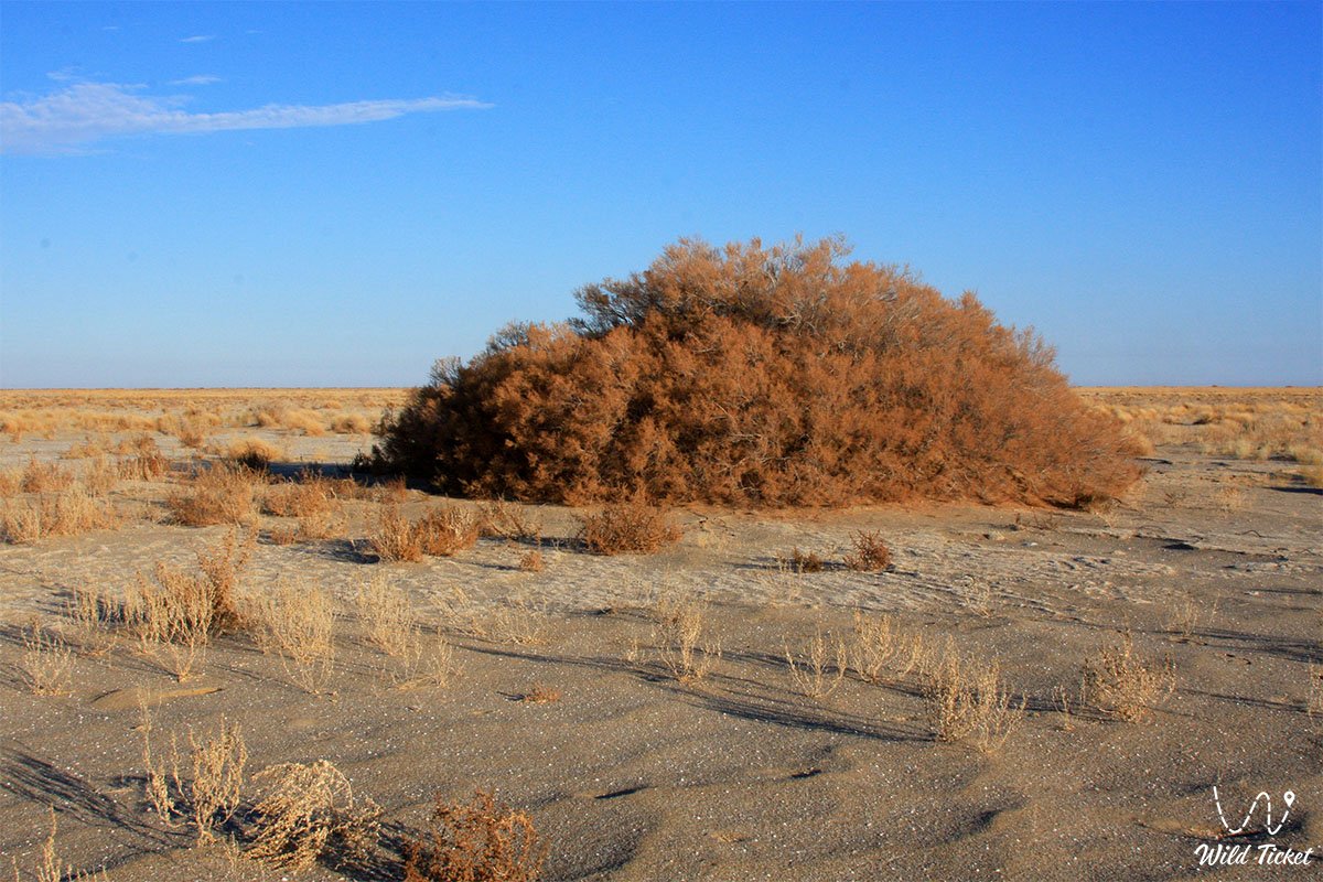
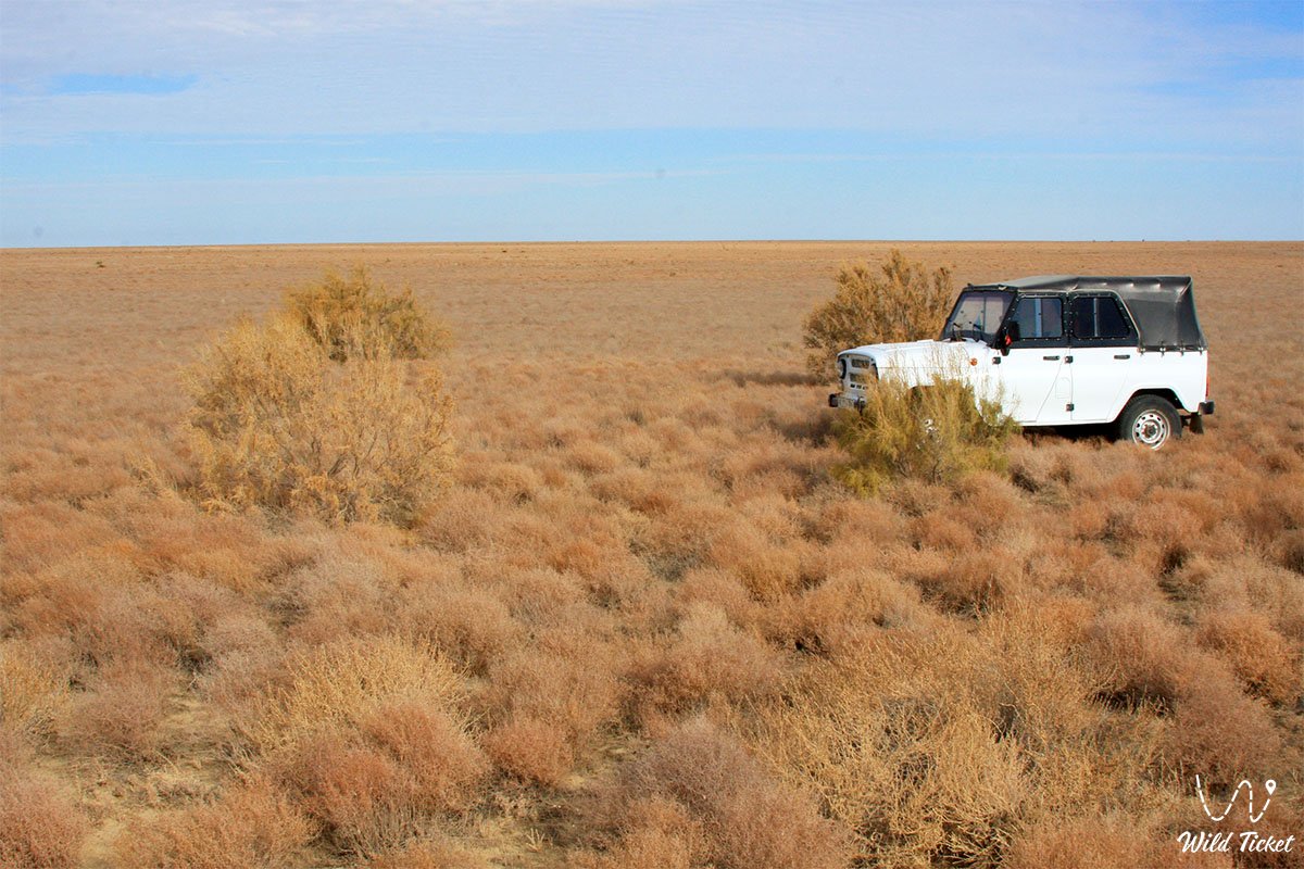
Under conditions of precipitation deficit (126–128 mm per year) and deep soil freezing (down to 45 cm), robust shrub and arboreal xerophytes survive: black and white saxaul (forming 164 ha of forest stands), tamarisk, dzhuzgun, and Atraphaxis, whose roots reach depths of up to 10–15 meters in search of moisture. On saline areas, European glasswort, jointed glasswort (sarsazan), and salt-marsh wormwood dominate.
Wild animals have fully synchronized their life cycles with the temperature and wind rhythms of the desert. Turkmenian kulans (276 individuals), saigas, and goitered gazelles take shelter from fierce winter winds (with speeds up to 18–24 m/s) in dense saxaul tracts and the ravines of Kebirsay. In the summer heat, ungulates concentrate near the artesian boreholes of Kaskakulan or graze during nocturnal and morning hours.
Rodents (small jerboa, small five-toed jerboa, yellow ground squirrel) and reptiles (toad-headed agama, steppe tortoise, sand boa) sit out the summer heat and the freezing period of the year (from 120 to 150 days of sub-zero temperatures) in deep burrows, entering torpor or hibernation. Birds of prey – the golden eagle, steppe eagle, long-legged buzzard, and saker falcon – masterfully exploit steady thermal currents and strong plakor winds for hunting over open expanses.
Legend
The extreme climate of Barsakelmes inspired sacred awe in nomads for centuries, giving birth to the formidable name "If you go, you will not return". An ancient Kazakh legend tells that the island was created by the spirits of icy winds and fiery heat. In ancient times, a wealthy bai, saving his flocks from a winter dzhut, led his clan across the thick Aral ice to this island, lured by the abundance of pastures. But as soon as the people settled down for the winter, a furious storm cyclone from the northwest raised waves and shattered the sea's icy armor.
The short spring that followed was replaced by an unprecedented drought: the scorching sun dried up snow pits and buguty, and rain never fell upon the parched earth. All the wells turned out to be salty, and the people perished together with their livestock from unbearable thirst in the midst of the salty marine expanse. Only the following winter did relatives cross the frozen strait and find yurts buried in sand and white salt.
Another belief is linked to the thick sea fogs that shroud the tract for up to 32 days a year. Nomads believed that a mysterious haze of time was hidden in the whitish gloom: a person who stepped into the dense shroud lost memory and the count of days. Legends of time traps and mirages, even if supplemented during the Soviet years by literary hoaxes of science fiction writers, arose from the real psychological phenomenon of losing orientation during sudden fogs and sand-and-salt storms.
Conclusion
The climate of the Barsakelmes Nature Reserve is a harsh architect of Priaralye landscapes, vividly demonstrating the rapid transformation of ecosystems under the impact of a global environmental crisis. The loss of the Aral Sea's water basin turned a once-moderated coastal corner into an epicenter of aridity, where every degree of temperature and every millimeter of moisture define the boundary between life and oblivion.
Researching the meteorological data series of the "Barsa-Kelmes" and "Uzynkair-Bayan" stations provides modern science with fundamental material for understanding climatic transformations, desertification, and the limits of biota adaptation to critical changes on the planet.
Attractions of the protected zone and adjacent territories:
• Aral Geopark;
• Kokaral Dam;
• Butakov Bay;
• Shevchenko Bay;
• Aralkum Desert (dried seabed);
• Lake Kamystybas (Kambash);
• Aral-Asar Settlement;
• Kerderi Mausoleum;
• Istyk-Su Hot Radon Spring near Akespe Village.
Additional Information:
• Barsakelmes Nature Reserve;
• Barsakelmes Island;
• History of Barsakelmes Island.
Photogallery: