Unique natural and historical complex of the Aral Sea region -
Aral Geopark represents a large-scale initiative implemented with the active support of Satbayev University, international partners, and the International Fund for Saving the Aral Sea. The project is aimed at preserving the unique geological, ecological, and cultural heritage of the Aral Sea region, developing sustainable tourism, and forming a new model for the post-disaster recovery of the region.
Unlike strictly protected natural areas, the Aral Geopark does not introduce rigid restrictions on economic and recreational activities, combining science, education, and the local economy in accordance with the UN Sustainable Development Goals (SDG 11, SDG 13, and SDG 15).
The creation of the geopark is aimed at preserving the world-famous natural phenomenon associated with the history of the Aral Sea and the newly restored North Small Aral Sea, demonstrating the consequences of anthropogenic changes and the processes of ecological recovery in the region.
This territory attracts researchers, ecologists, and travelers from all over the world who wish to see with their own eyes a living textbook of Earth's history and human resilience.
---------------------------------------------
How to get there and visit -
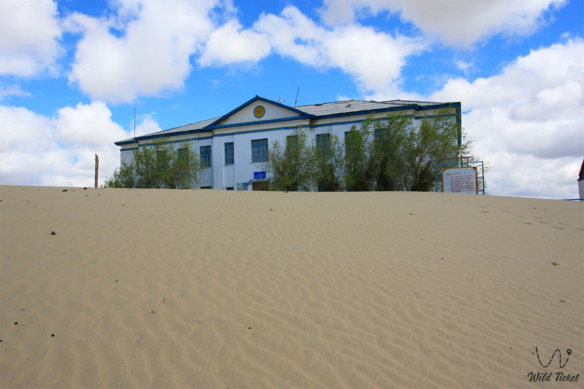
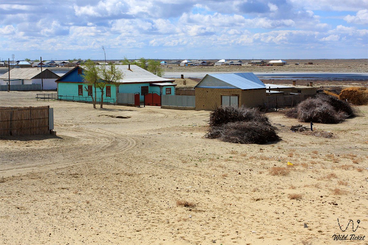
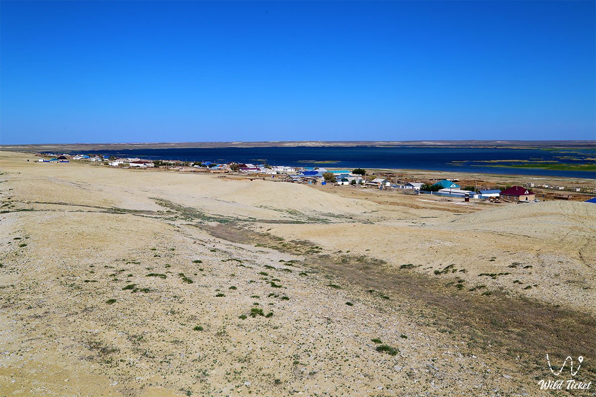
The territory of the Aral Geopark covers key sites of the Aral district of the Kyzylorda region in the Republic of Kazakhstan, including the coast of the Small Aral Sea, the water area, the surroundings of the city of Aralsk, and the adjacent unique landscapes.
GPS geographical coordinates of the central part: 46°47'28"N 61°39'52"E (landmark by the city of Aralsk).
The second point of coordinates of the Aral Geopark: 46°01'58"N 60°22'00"E (landmark by the former bottom of the Aral Sea).
It is convenient to start a journey through the sites of the geopark from the city of Aralsk, which serves as the main logistical hub. To study the territory, four specialized tourist and educational routes have been developed, including directions along the coast, to the Kokaral Dam, Lake Kambash (Kamystybas), and the territory of the state natural Barsakelmes Nature Reserve.
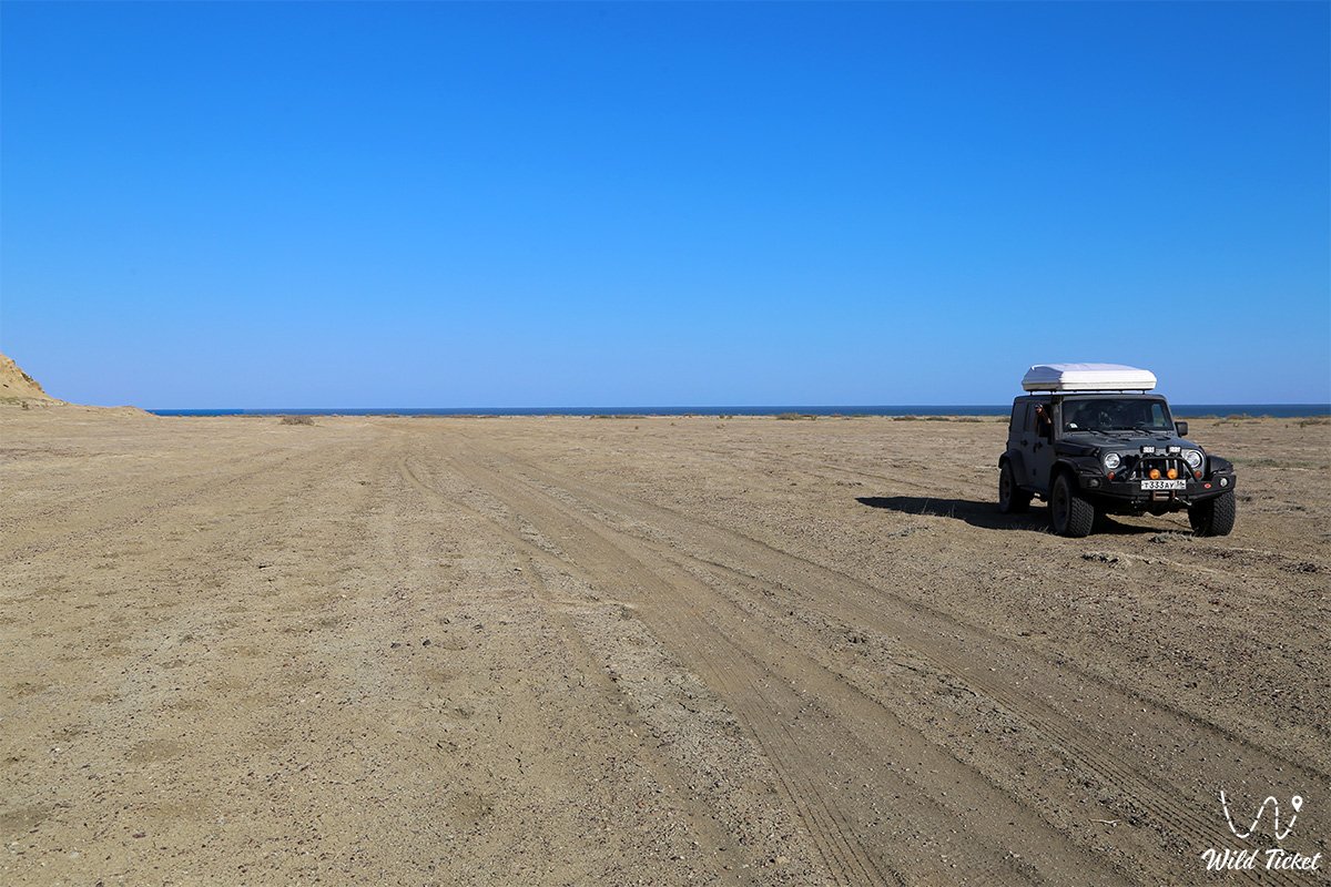
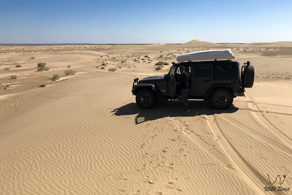
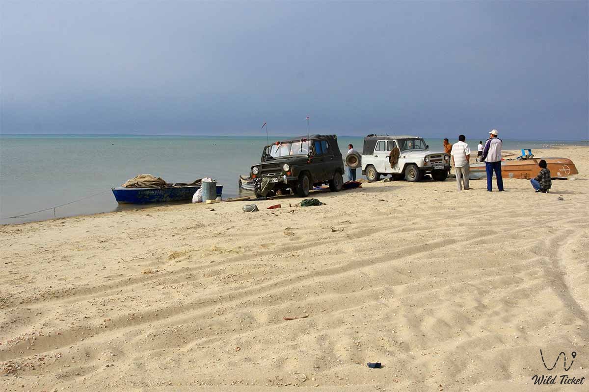
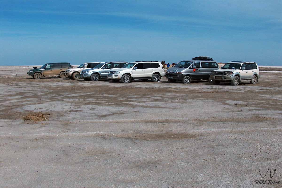
Movement is recommended to be carried out on off-road vehicles within organized eco-tours. The most popular points on the route through the geopark pass through the Tastubek fishing village, then the expeditions follow to Akespe village, where the Istyk-Su geothermal water spring is located, and further around the Small Aral Sea.
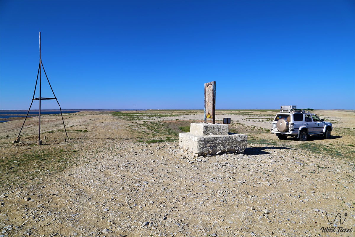
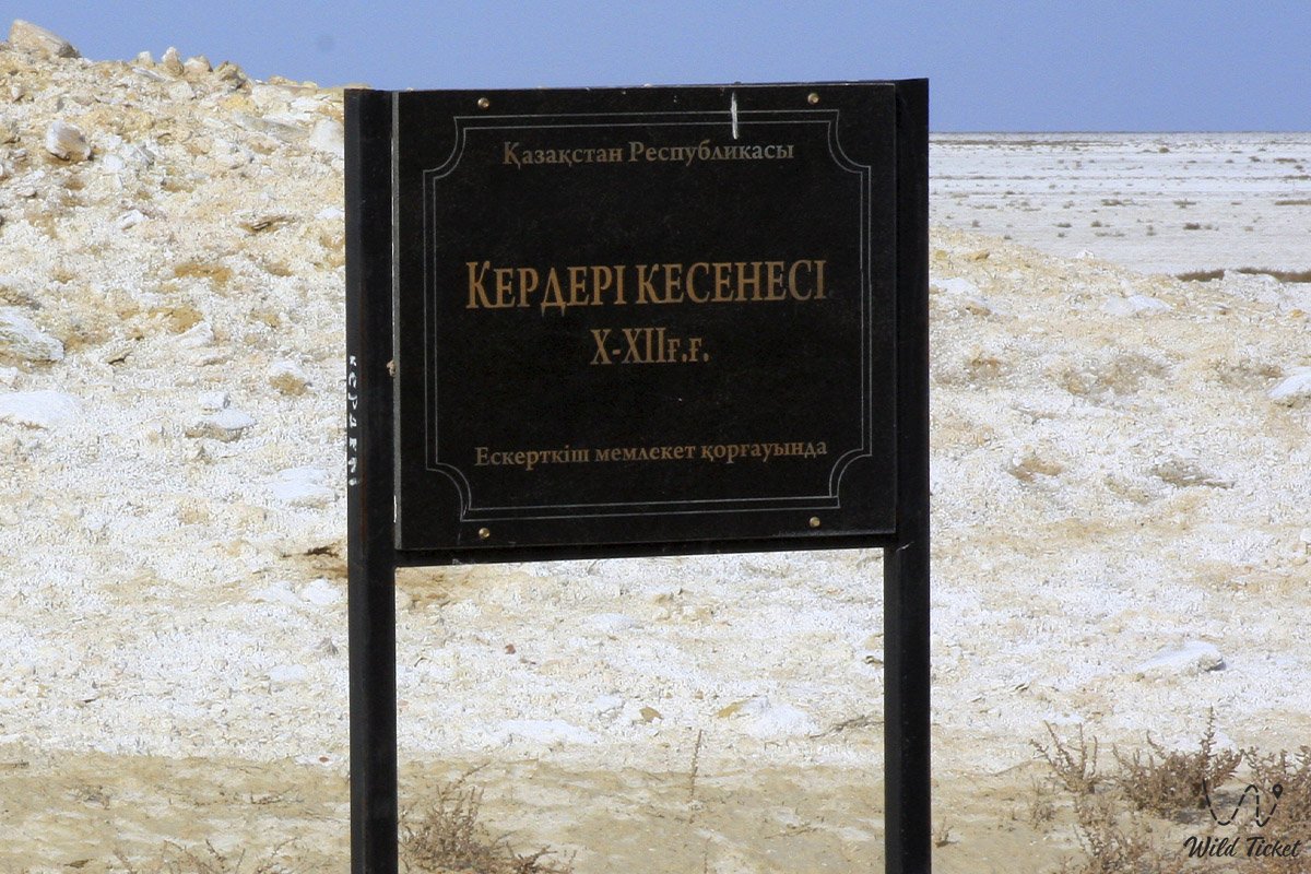
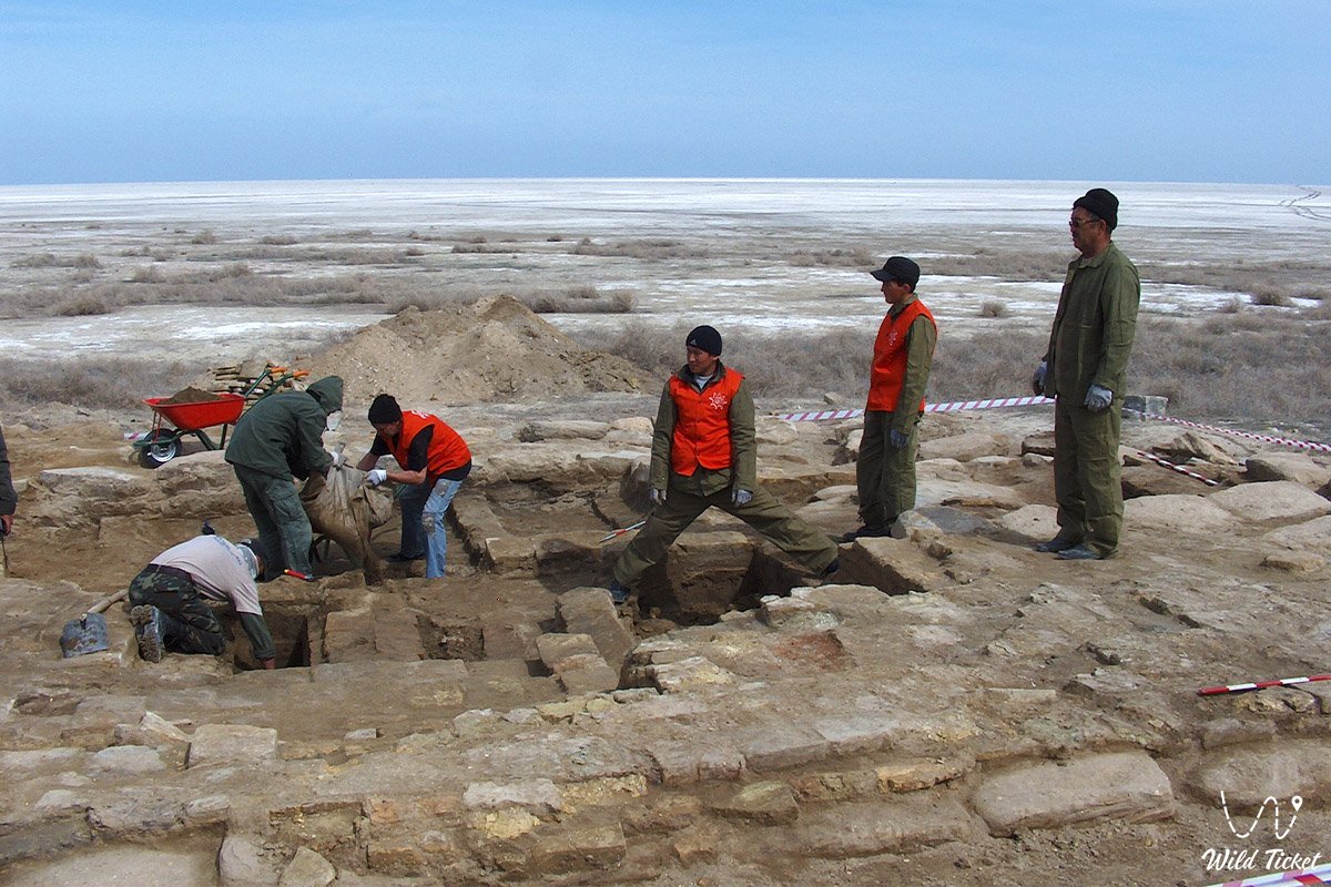
Another route from Aralsk passes through Bogen village and further to Karateren village, from which travelers can get to the Kerderi Mausoleum by driving along the bottom of the former Aral Sea. Also located near the mausoleum are the ancient Aral-Asar settlement and the former Barsakelmes Island.
---------------------------------------------
History
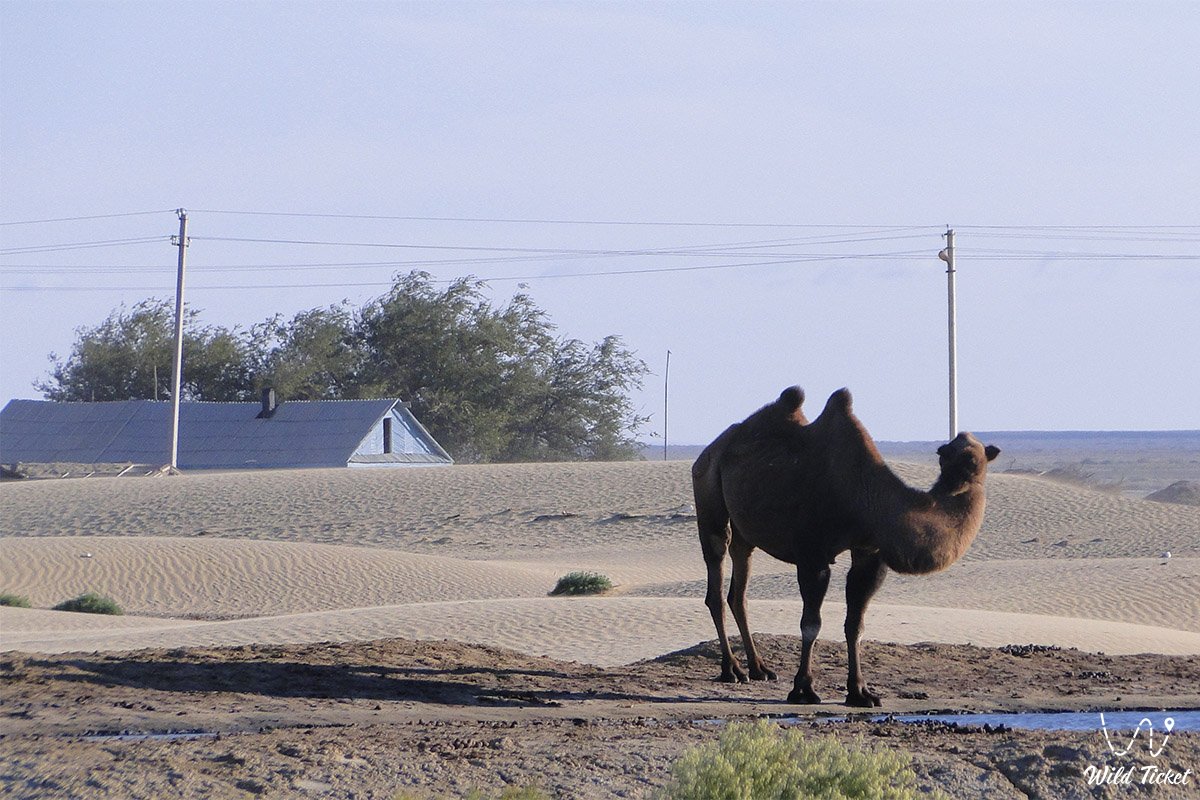
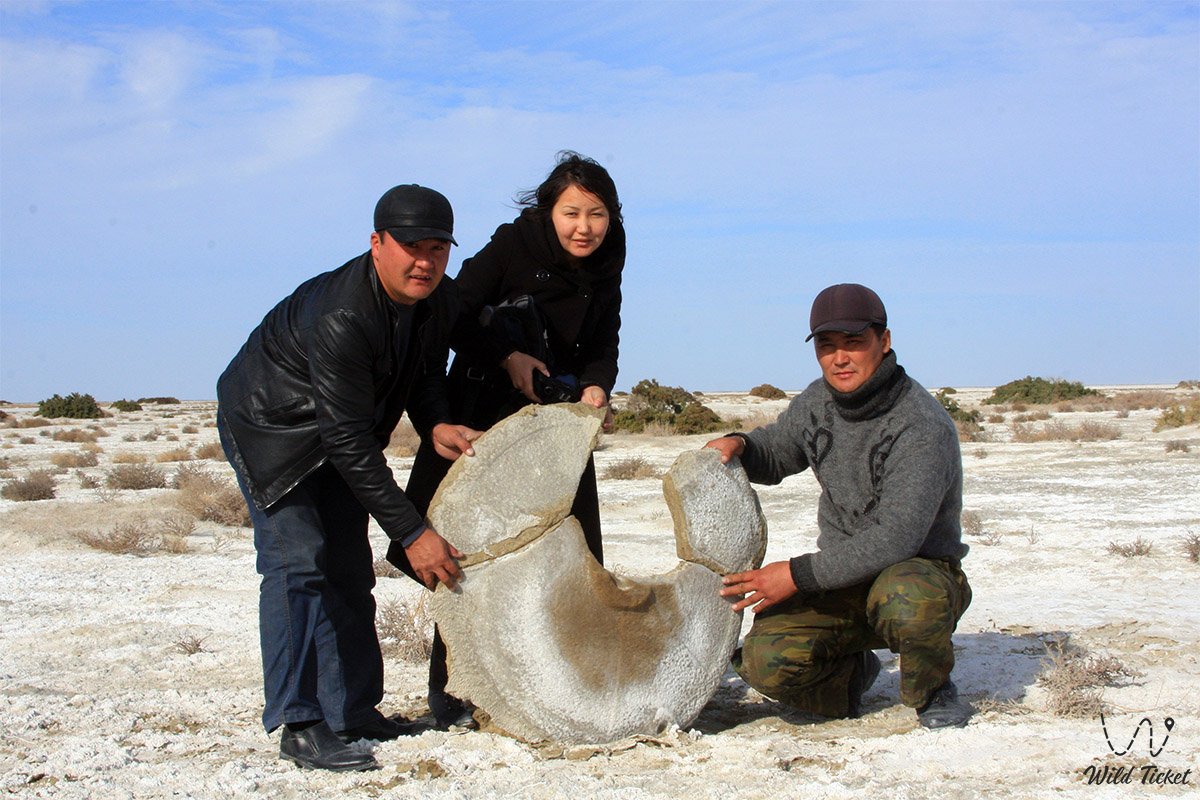
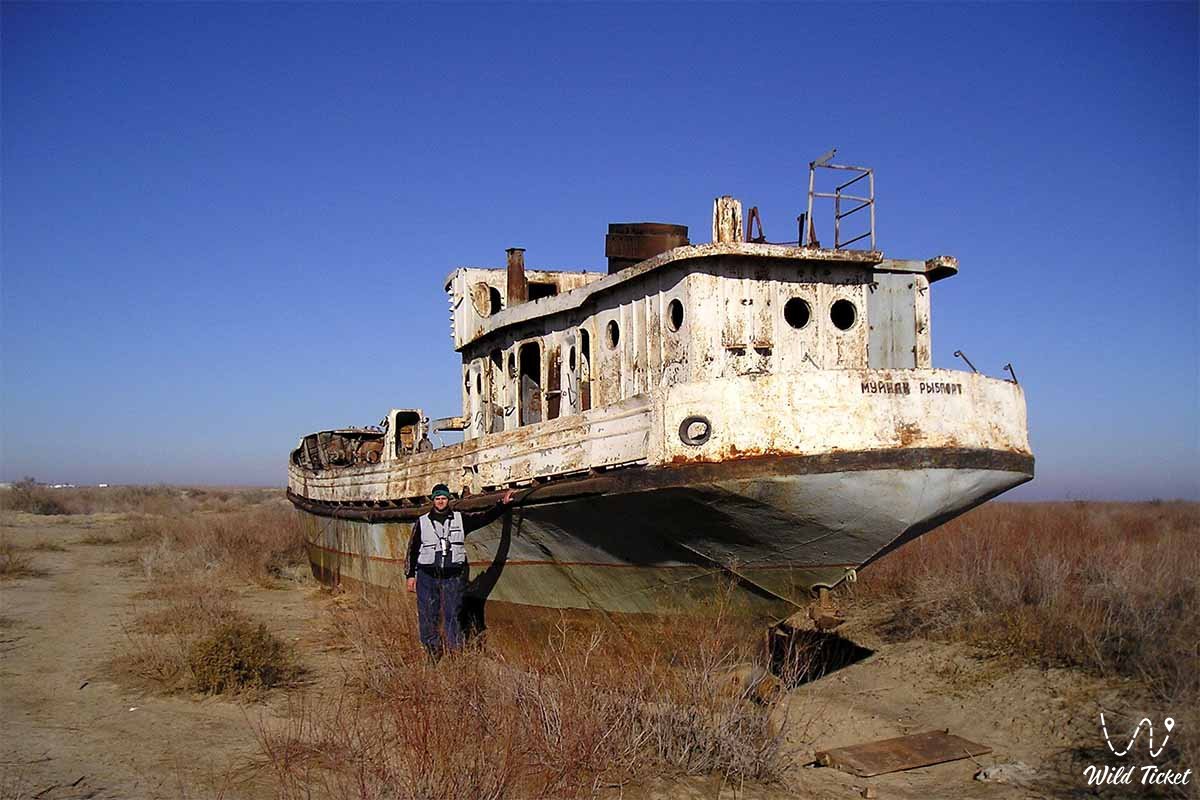
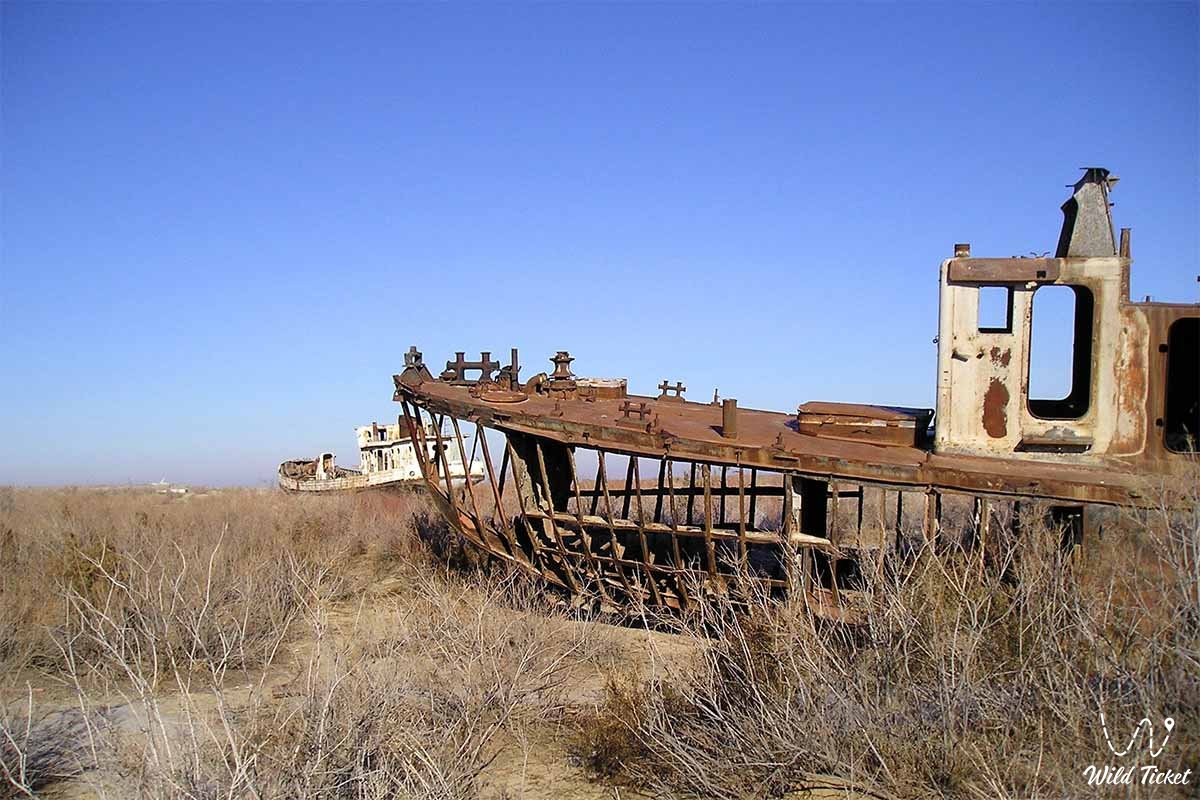
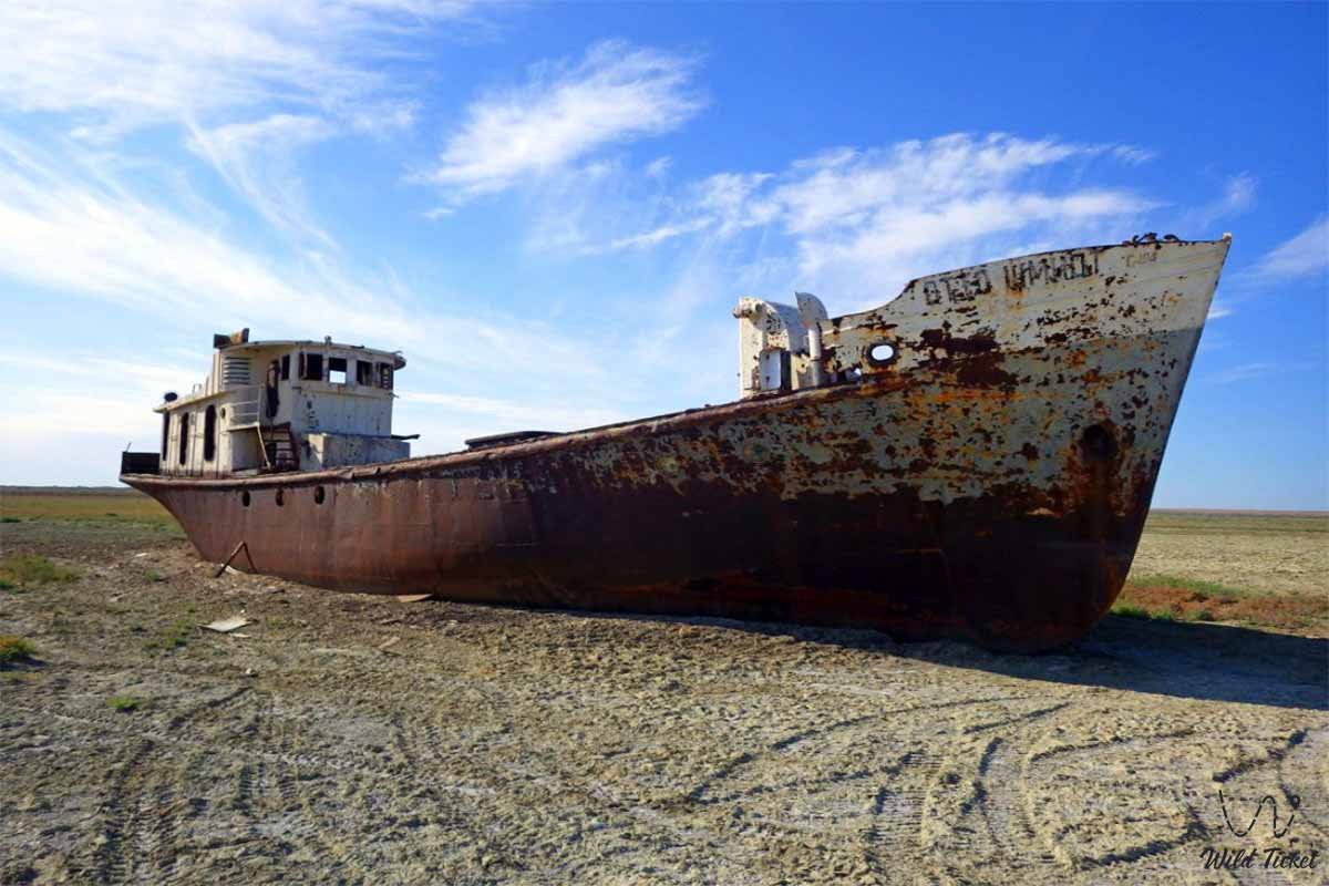
The history of the formation of the Aral Geopark landscapes is closely connected with the fate of the Aral Sea. The full-scale environmental crisis of the second half of the XX century led to a catastrophic shrinking of the reservoir.
However, the turning point was the completion of the construction of the Kokaral Dam in 2005, which made it possible to save and stabilize the water level of the Small Aral Sea.
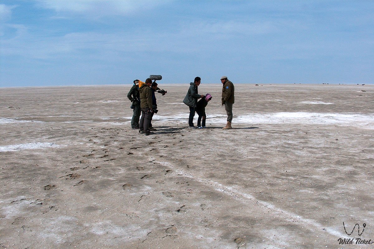
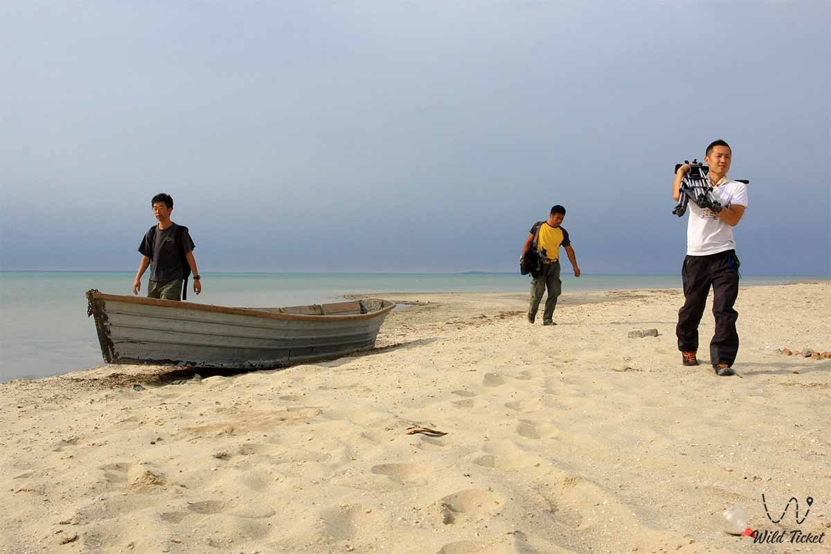
The most important stage in the modern history of the region was the creation of the first tourist center in Central Asia, Geopark Aral. In May 2025, an International Scientific and Practical Conference and a large-scale expedition took place here with the participation of scientists from Kazakhstan, Uzbekistan, Kyrgyzstan, Germany, and Russia.
In November 2025, the official nomination dossier of Kazakhstan was sent to the UNESCO headquarters, and in July 2026, international experts José Brilha and Soma Saeedi-Younesi conducted an evaluation mission on the territory of the geopark for its inclusion in the UNESCO Global Geoparks Network.
Information
The concept of the "Aral" geopark is based on the principles of geoconservation, the development of science, and the support of local communities. The project acts as an interdisciplinary platform for the inventory of geosites, conducting international expeditions, and implementing UNESCO standards.
Against the backdrop of a growing tourist flow (thousands of domestic and hundreds of foreign travelers visited the region in the first half of the year), the status of a UNESCO Global Geopark is intended to attract international investment, create new jobs, and improve the living standards of the region's population.
Detailed description of the venue
• Tourist routes: Four specially developed educational directions covering key points from Aralsk to the Kokaral Dam and Lake Kambash.
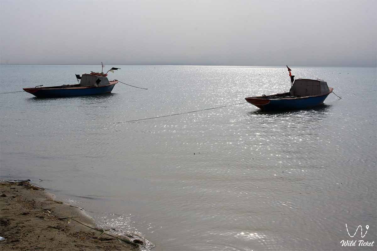
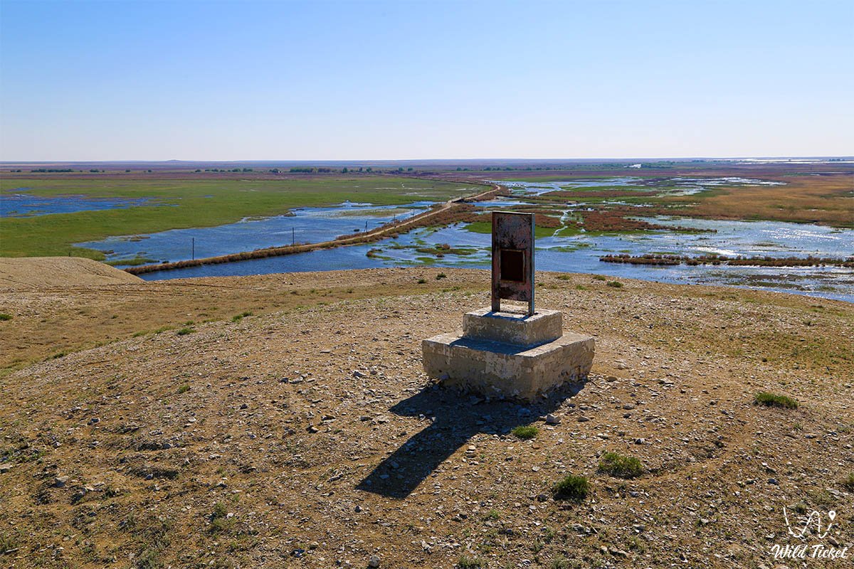
• Coastal zone of the Small Aral Sea: Areas of ecosystem restoration where water returns and the fishing industry is being revived.
• Barsakelmes State Nature Reserve: A unique territory where about 250 bird species have been registered, including rare and endangered species listed in the Red Data Book.
• Information and tourist center Geopark Aral: A base platform for coordinating ecotourism, educational programs, and receiving researchers from all over the world.
Architecture
The architectural context of the geopark is of a landscape and industrial-historical nature. It organically combines the infrastructure facilities of the city of Aralsk, the hydraulic structures of the Kokaral Dam, elements of eco-trails, and the historical monuments of the Aral Sea region. The architecture of open spaces emphasizes the harsh, majestic aesthetics of the steppe and coastal territories.
Legend
An unwavering belief in the cyclical nature of nature and the incredible resilience of human beings in the face of the elements lives among the local residents. The legends of the Aral Sea region are intertwined with real stories of fishermen and scientists who believe in the full revival of the aquatic ecosystem and the return of former prosperity to the shores of the Aral Sea, proving that the land stores the memory of every wave and every generation of its defenders.
Conclusion
Aral Geopark is a symbol of the triumph of engineering thought, environmental responsibility, and hope. Obtaining status in the UNESCO Global Geoparks Network will open a new chapter in the history of Kazakhstan, combining science, tourism, and sustainable development for the future of the region.
Visiting the geopark allows one to personally touch the unique experience of post-disaster nature recovery.
Interesting sights nearby:
• Butakov Bay;
• Shevchenko Bay;
• Syr Darya River;
• Akbasty Village;
• Aralkum Desert;
• Kazalinsk City;
• Ayteke Bi Village;
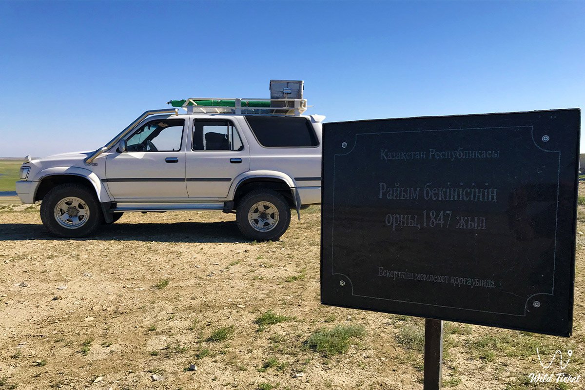
• Raim Fort;
• Begim-Ana Tower;
• Saraman-Kosa Tower.
Photogallery: