Border railway and highway hub on the Ustyurt plateau –
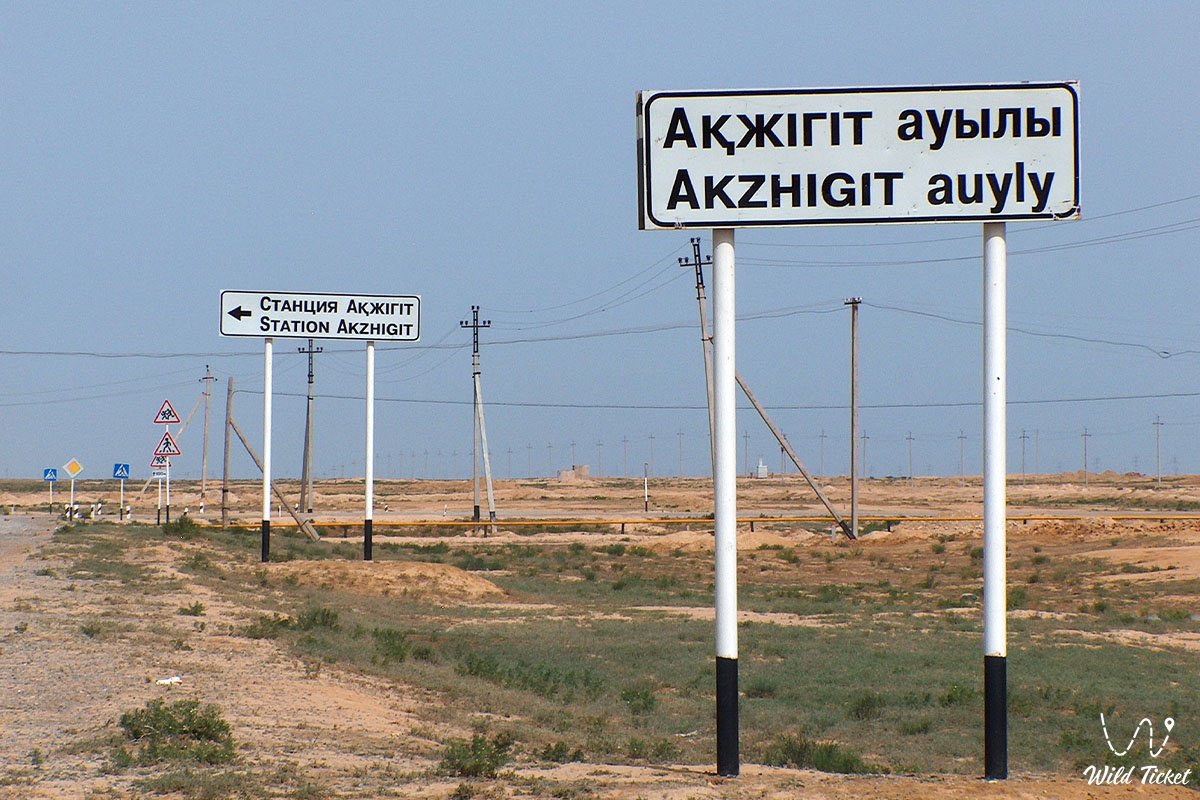
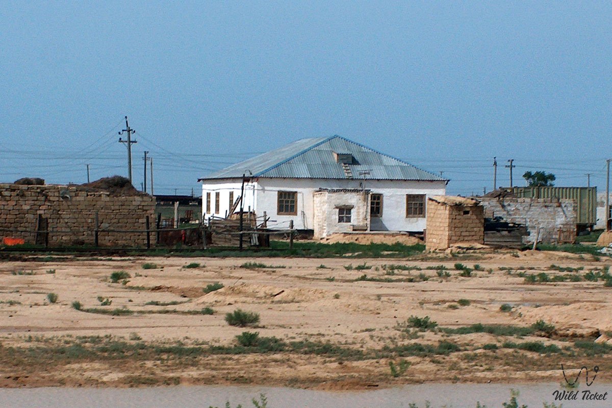
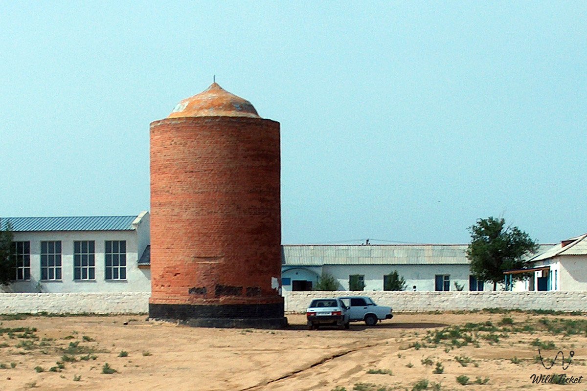
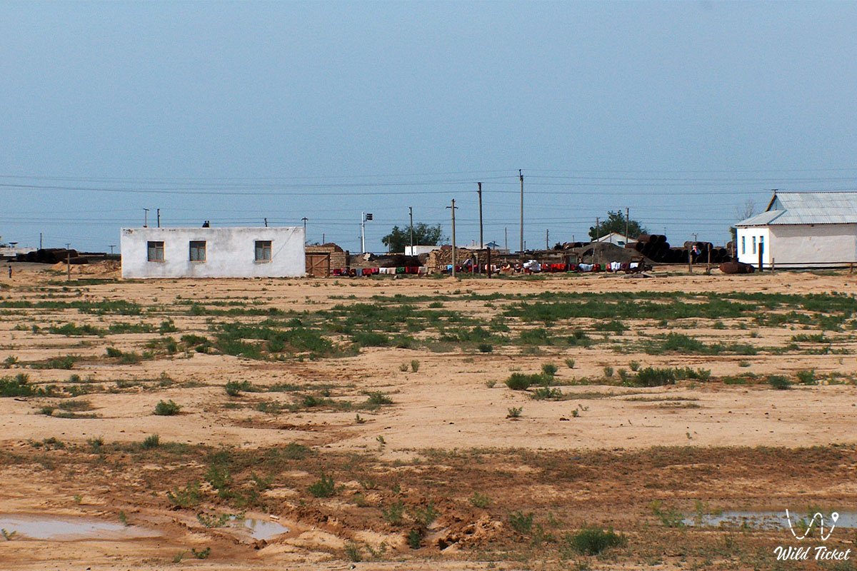
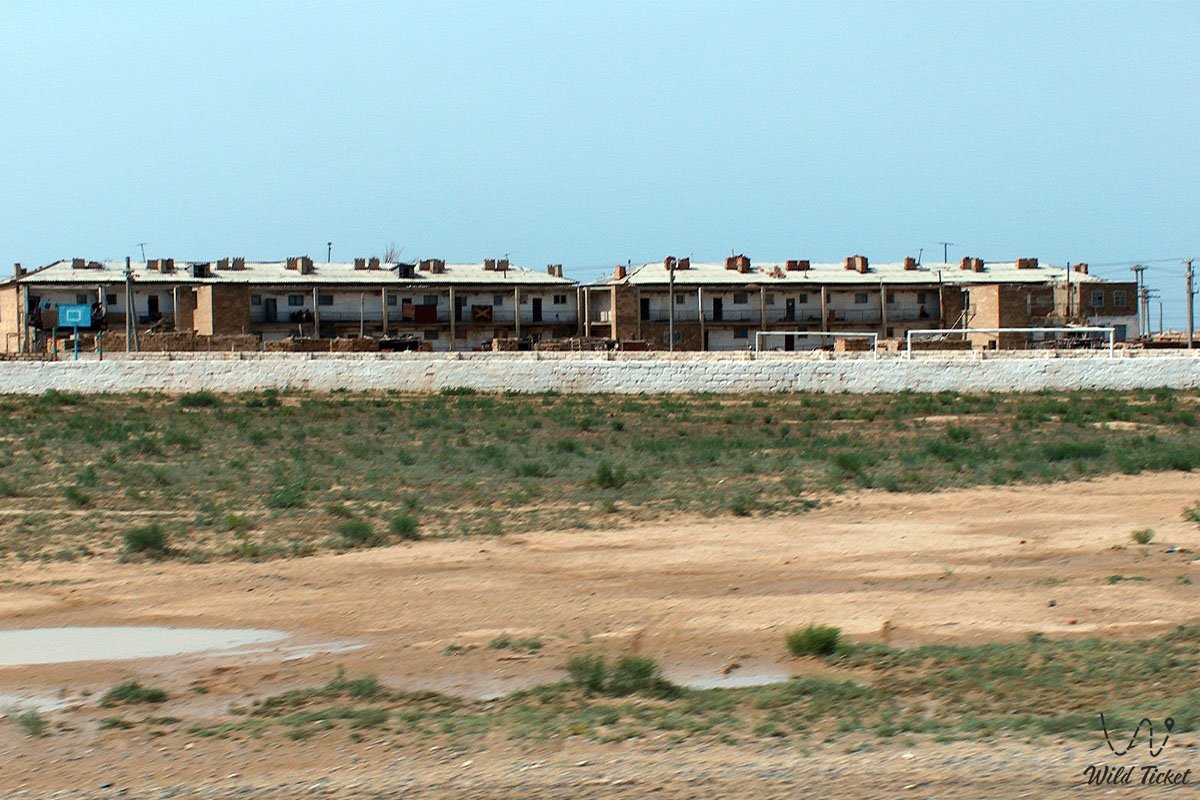
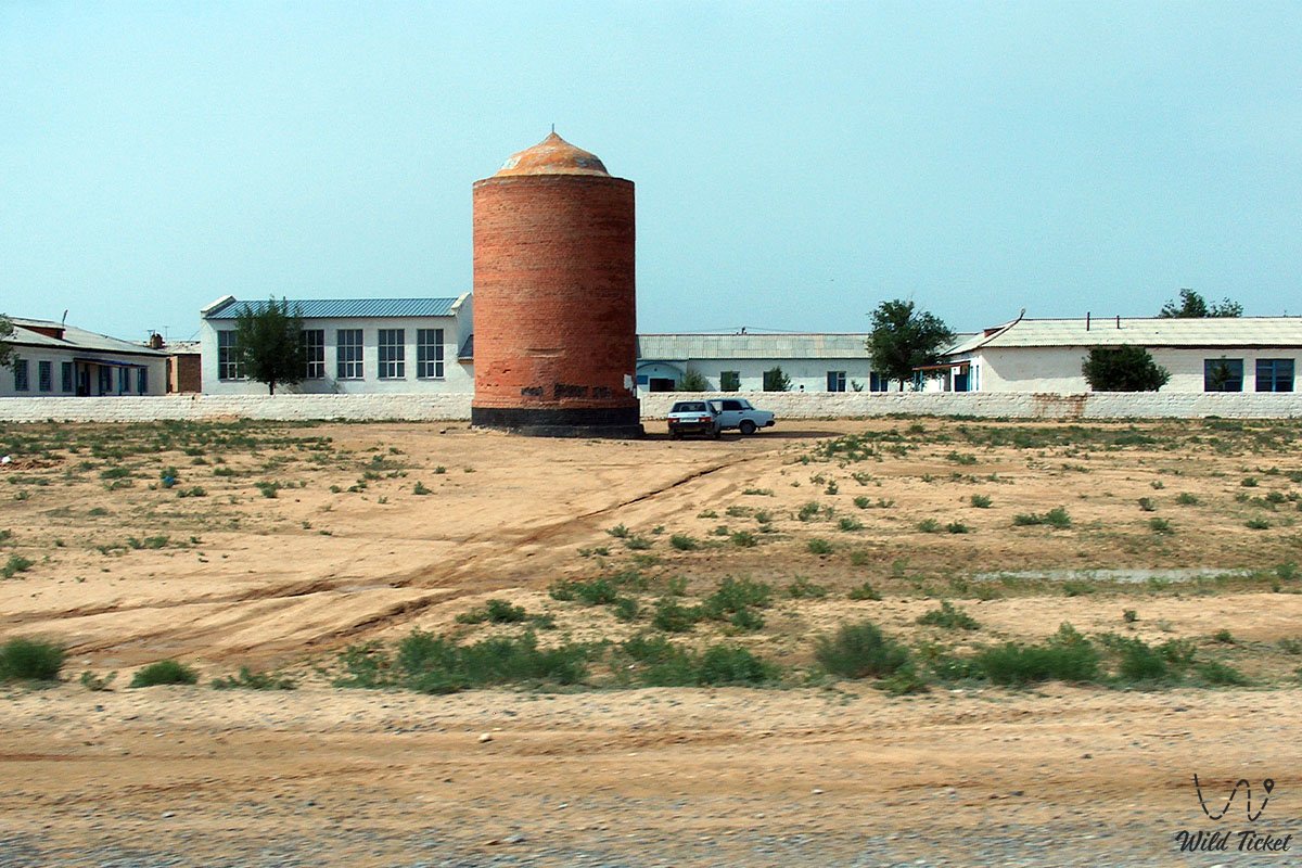
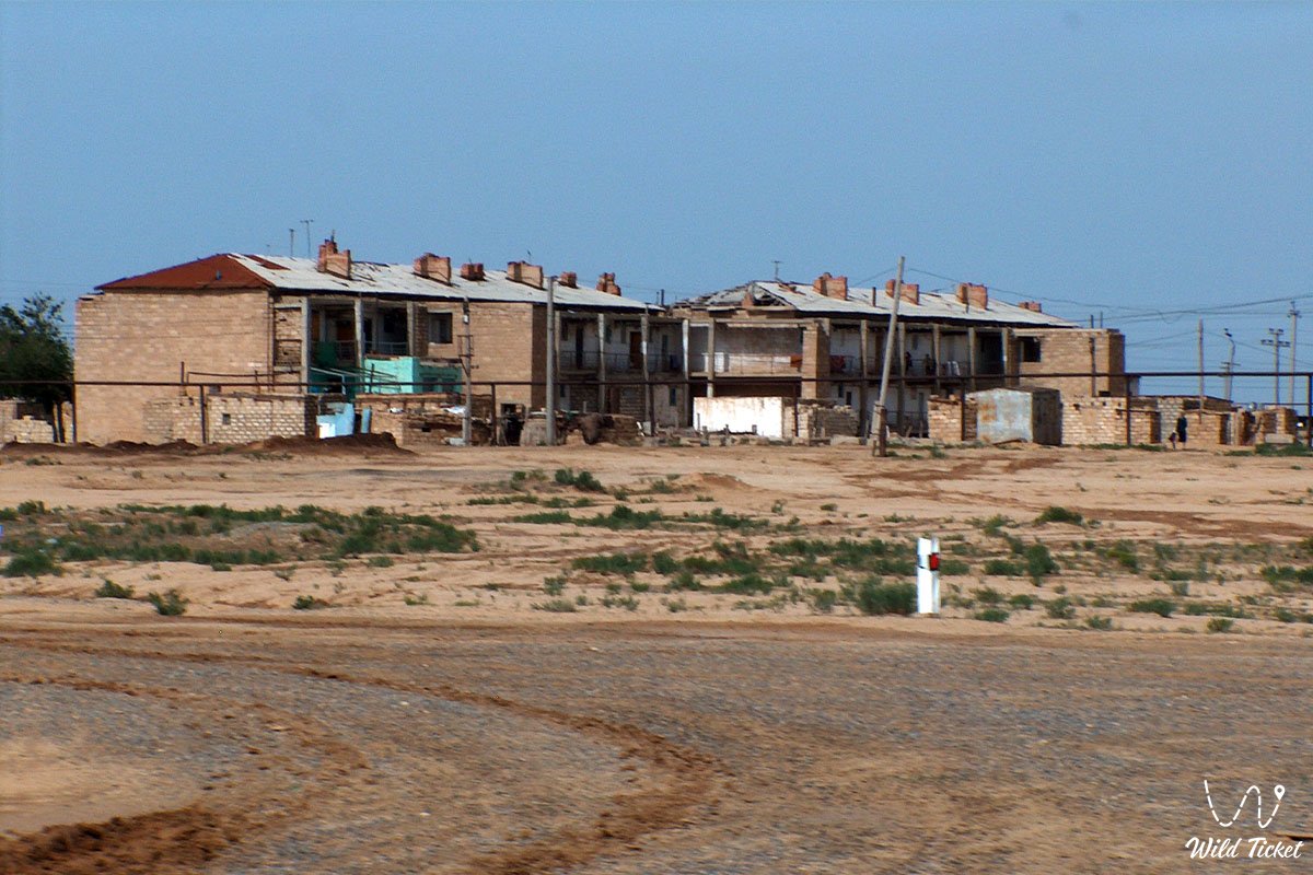
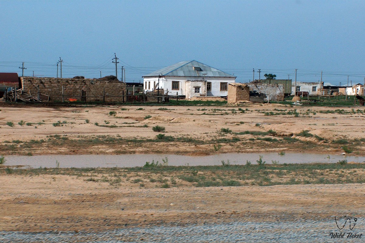
Akzhigit village represents an important border settlement and the administrative center of the Akzhigit rural district in the east of the Mangistau Region. Located within the Beyneu district, the village sits on the desert expanses of the Ustyurt plateau approximately 52 kilometers southeast of the district center – Beyneu village.
The settlement owes its strategic importance to its location along a key transport corridor of Western Kazakhstan linking the regions near the Caspian Sea coast with the Republic of Uzbekistan and the countries of Central Asia. A major railway mainline passes through the village with the active Akzhigit station, and in July 2019, a modern international highway "Beyneu – Akzhigit – Border of the Republic of Uzbekistan" (heading toward the "Tazhen" vehicle border crossing checkpoint) was officially inaugurated here.
For road travelers and transit tourists heading from the city of Aktau or from the Mangyshlak peninsula toward the Uzbek city of Nukus, ancient Khiva, or the shores of the Aral Sea, Akzhigit village serves as the last major settlement before crossing the state border.
Within the geographic space of eastern Mangystau, the village acts as a connecting link between transport arteries and remote natural and historical sites of the Ustyurt plateau:
– 52 kilometers to the northwest lies the major transport hub of Beyneu village, beyond which toward the Caspian Sea coast stretch the northern Kolenkeli Mountains and the vast Dead Kultuk Bay;
– to the west and southwest spread the sand massifs of the Sam sands and the sheer western chinks of the Ustyurt plateau, along which are situated the sacred pantheon of batyrs at the Sisem-Ata necropolis, the underground Beket-Ata mosque, the gigantic Kaidak salt marsh, and the Tuzbair salt marsh;
– to the east and southeast beyond the "Tazhen" border crossing begin the desert plains of Karakalpakstan (Uzbekistan), leading toward the dried basin of the Aral Sea.
--------------------------------------------
How to get there and visit –
Akzhigit village is located in the southeastern part of the Beyneu district of the Mangistau Region, directly along the international highway A-380 / R-1 ("Beyneu – Akzhigit – Border of Uzbekistan" section) and the Beyneu – Kungrad railway branch. The distance from the regional administrative center of the city of Aktau is around 520–530 km via motor roads, from the district center of Beyneu village – about 52 km southeast, and to the "Tazhen" border checkpoint on the border with Uzbekistan – about 32–35 km.
GPS geographic coordinates of Akzhigit village:
45°02'02"N 55°44'45"E
45.033889, 55.745833
Route from Aktau and Beyneu: the main route from the city of Aktau runs along the paved trunk highway through Shetpe settlement and Saiotes village to Beyneu village (about 470 km). From Beyneu village, continue southeast along the new international-grade paved highway "Beyneu – Akzhigit – Border of Uzbekistan" (about 52 km, travel time roughly 40–45 minutes). The village can also be reached by passenger trains running through Beyneu station toward Uzbekistan.
Vehicle requirements: thanks to the construction of a modern international-standard paved highway, Akzhigit village itself can be reached in any standard passenger car at any time of year. Further inside the territory of Uzbekistan, the A-380 highway continues across the Ustyurt plateau toward the city of Kungrad and Nukus (about 330 km to Kungrad); most sections of this road have been reconstructed with cement-concrete and asphalt surfacing, though detours may occasionally be encountered. A four-wheel-drive 4x4 off-road vehicle is needed only if you plan to turn off the highway deep into the waterless steppe of the Ustyurt plateau to visit remote historical monuments and caravanserais.
Border crossing ("Tazhen" – "Daut-Ata" checkpoint) and border regime:
Before planning transit through Akzhigit village into Uzbekistan, it is important to take into account the current operating regime of the border crossing and border-crossing rules:
– Important notice regarding the reconstruction of the "Tazhen" checkpoint: due to large-scale reconstruction of the "Tazhen" (Kazakhstan) – "Daut-Ata" (Uzbekistan) vehicle border checkpoint, strict temporary restrictions were introduced on the passage of passenger cars, passenger buses, and pedestrians, maintaining traffic exclusively for freight vehicles. Before setting out in a passenger car, be sure to check the current opening status for passenger traffic in official bulletins of the Border Service of the National Security Committee of the Republic of Kazakhstan; while restrictions are in force, you can cross the border in this area by passenger train from Beyneu or Akzhigit station, or in a private vehicle only via detour checkpoints in the Turkestan Region.
– Documents and visa regime: citizens of Kazakhstan, Russia, and most CIS countries, as well as many foreign nations, enjoy visa-free entry into Uzbekistan (for 30 or 60 days). Crossing the border requires a valid international passport, vehicle registration certificate, and driver's license. If the vehicle is not driven by its registered owner, a notarized power of attorney explicitly granting the right to drive abroad is mandatory.
– Vehicle registration on the Uzbek side: when vehicle traffic is open, after clearing the Kazakh "Tazhen" checkpoint and entering the Uzbek "Daut-Ata" post, the driver completes a temporary vehicle import declaration and purchases a mandatory motor third-party liability insurance policy (local OSAGO). Insurance kiosks and currency exchange offices operate immediately beyond the exit barrier of the post.
– Fuel and currency reserves: it is recommended to fill the fuel tank completely in Beyneu or Akzhigit village. Within Karakalpakstan (along the stretch from the border to Kungrad and Nukus), shortages of high-grade AI-95 gasoline and especially diesel fuel frequently occur. In Akzhigit, it is also convenient to exchange a small amount of tenge or US dollars into Uzbek sums in advance to cover insurance and road expenses, and to download offline maps of the region, as Kazakh mobile coverage cuts off immediately across the border.
– Climate and queues: lengthy vehicle queues may occur on the approach to the "Tazhen" checkpoint. Considering that summer temperatures on Ustyurt reach +40...+45 °C while winter brings frosts down to -30...-35 °C with strong winds, always keep a supply of drinking water, food, and warm clothing in your vehicle.
Infrastructure: as the administrative center of a rural district, Akzhigit village possesses basic infrastructure for local residents and transit travelers. Operating here are a railway station, gas stations, currency exchange offices, grocery and hardware stores, roadside cafes, postal offices, a medical post, and a tire repair shop. Mobile reception and mobile internet from Kazakh operators work reliably.
Seasonality: visiting and transiting through the village are possible year-round. The most comfortable weather conditions for traveling across the Ustyurt plateau prevail in spring (April – May) and autumn (September – October).
--------------------------------------------
History
The history of the territory where Akzhigit village is located is inextricably linked to the ancient caravan routes of the Ustyurt plateau and the development of railway and highway arteries in Western Kazakhstan.
In antiquity and the Middle Ages, major caravan trails of the Great Silk Road ran across this section of the Ustyurt plateau, linking the oases of Khwarezm (Urgench, Khiva) with the trading towns of the Mangyshlak peninsula (fortified settlement of Kyzylkala), the fortified town of Saraishyk on the Ural River, and the lower Volga region. Along the ancient roads, nomads and merchants built stone wells (shynyrau) and fortified caravanserais, one of the best known among which is the medieval Beliuli caravanserai located southeast of Akzhigit.
In the 18th–19th centuries, the steppes surrounding the present village formed part of the seasonal migration routes of Kazakh clans of the Aday tribe moving between summer pastures in the northern steppes and winter quarters in the lowlands of Mangyshlak.
The modern history of Akzhigit village began during the Soviet period in connection with the development of livestock state farms on Ustyurt and the construction of the strategic "Makat – Beyneu – Kungrad" railway linking Western Kazakhstan with Central Asia. The station and settlement of Akzhigit became an important stronghold along this mainline.
New momentum for the village's development came with Kazakhstan's independence and the transformation of the "Beyneu – Akzhigit" corridor into the main overland transit route between Kazakhstan and Uzbekistan. In July 2019, the Prime Ministers of the two countries, Askar Mamin and Abdulla Aripov, officially opened the reconstructed international highway "Beyneu – Akzhigit – Border of Uzbekistan," significantly accelerating freight and tourist traffic in the region.
Information
Akzhigit village is the administrative center of the Akzhigit rural district in the Beyneu district of the Mangistau Region of the Republic of Kazakhstan.
Main administrative and geographic parameters:
– status: village, administrative center of a rural district;
– KATO code: 473633100;
– geographic location: eastern part of the Ustyurt plateau, 52 km southeast of the district center of Beyneu village and about 32–35 km from the state border with Uzbekistan ("Tazhen" checkpoint);
– population: according to the 1999 census – 2,496 residents (1,240 men and 1,256 women); according to the 2009 census – 2,567 residents (1,286 men and 1,281 women).
Transport and logistics significance:
– railway transport: a mainline passes through the village with the active Akzhigit railway station;
– road transport: the international highway "Beyneu – Akzhigit – Border of the Republic of Uzbekistan," forming part of the international transit route E-40 / A-380, runs through the settlement.
Climate and relief:
The village is situated on the flat clay-and-wormwood surface of the Ustyurt plateau at an elevation of about 70–85 meters above sea level. The climate is sharply continental and arid, with hot, dry summers (up to +45 °C) and scant-snow, windy winters (down to -35 °C).
Detailed site description
The infrastructural and geographic profile of Akzhigit village is defined by the following key elements:
• Akzhigit railway station – a line station on the international trunk railway providing passenger and freight connections between the Mangistau Region and Uzbekistan.
• International highway "Beyneu – Akzhigit – Border of Uzbekistan" – a modern high-speed road opened in 2019 that serves as the settlement's primary transport artery.
• Roadside services and supply points – gas stations, cafes, currency exchange offices, and stores along the highway where road travelers can refuel and prepare before crossing the border or setting out on routes across the Ustyurt plateau.
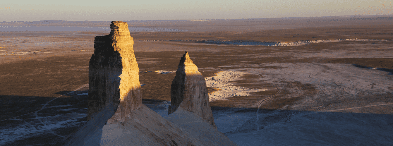
• Steppe environs of the Ustyurt plateau – boundless wormwood-and-saltwort plains surrounding the settlement on all sides and preserving monuments of ancient caravan roads.
Flora and fauna
Plant life around Akzhigit village is typical of the northern deserts of the Ustyurt plateau. Various species of desert wormwood, biyurgun, boyalych saltwort, saltworts, and winterfat (teresken) dominate the dry sierozem and clay soils. Shrubs of black saxaul, tamarisk, and caragana occur in terrain depressions, while in spring (April – May) the steppe surrounding the settlement is briefly carpeted with green ephemerals and wild tulips.
Animal life away from the highway and railway is represented by inhabitants of the desert steppes: herds of saiga antelope, goitered gazelles, steppe wolves, corsac foxes, tolai hares, jerboas, little ground squirrels, and long-eared hedgehogs are encountered here.
Bird life includes steppe eagles, long-legged buzzards, kestrels, larks, wheatears, Pallas's sandgrouse, and black-bellied sandgrouse. Among reptiles, Central Asian tortoises, steppe agamas, toad-headed agamas, rapid fringe-toed lizards, and patterned racers are common.
Legends
The name of Akzhigit village (translated as "White Dzhigit" or "Noble, Pure-Hearted Youth") is associated in folk memory with the image of an honest steppe guide and warrior.
The Tale of the Noble Dzhigit of Ustyurt:
According to local elders, in times long past on the waterless expanses of the Ustyurt plateau, where caravan roads from Khwarezm to Mangyshlak intersected, there lived a young batyr and skilled tracker. He was renowned for his honesty, selflessness, and ability to unerringly locate freshwater springs hidden beneath the earth, earning him the popular nickname Akzhigit – the Bright, Noble Dzhigit. When a great dzhut struck the steppe and caravans began perishing from thirst, the youth dug a deep well at the crossroads and refused to take a single coin from travelers for water, saving hundreds of lives. Centuries later, a large village grew up at that very crossroads, receiving his name as a token of eternal gratitude.
Conclusion
Akzhigit village is a key border outpost of the Beyneu district in the Mangistau Region, playing a vital role in transport links between Kazakhstan and Uzbekistan. Thanks to its modern international highway and railway station, the settlement serves as a convenient staging point for transit travelers heading from Aktau across the Ustyurt plateau into the countries of Central Asia.
Nearby attractions:
• Beyneu Village;
• Ustyurt Plateau;
• Sam Sands;
• Kolenkeli Mountains;
• Dead Kultuk Bay;
• Kaidak Salt Marsh;
• Tuzbair Salt Marsh;
• Shetpe Settlement;
• Mangyshlak Peninsula;
• City of Aktau;
• Caspian Sea;
• Aral Sea;
• Sisem-Ata Necropolis;
• Beliuli Caravanserai;
• Saiotes Village.
Photogallery: