Picturesque sea bay with the whimsical chameleon rock Devil's Finger –
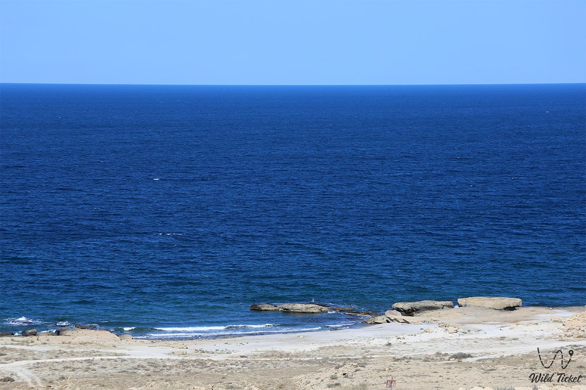
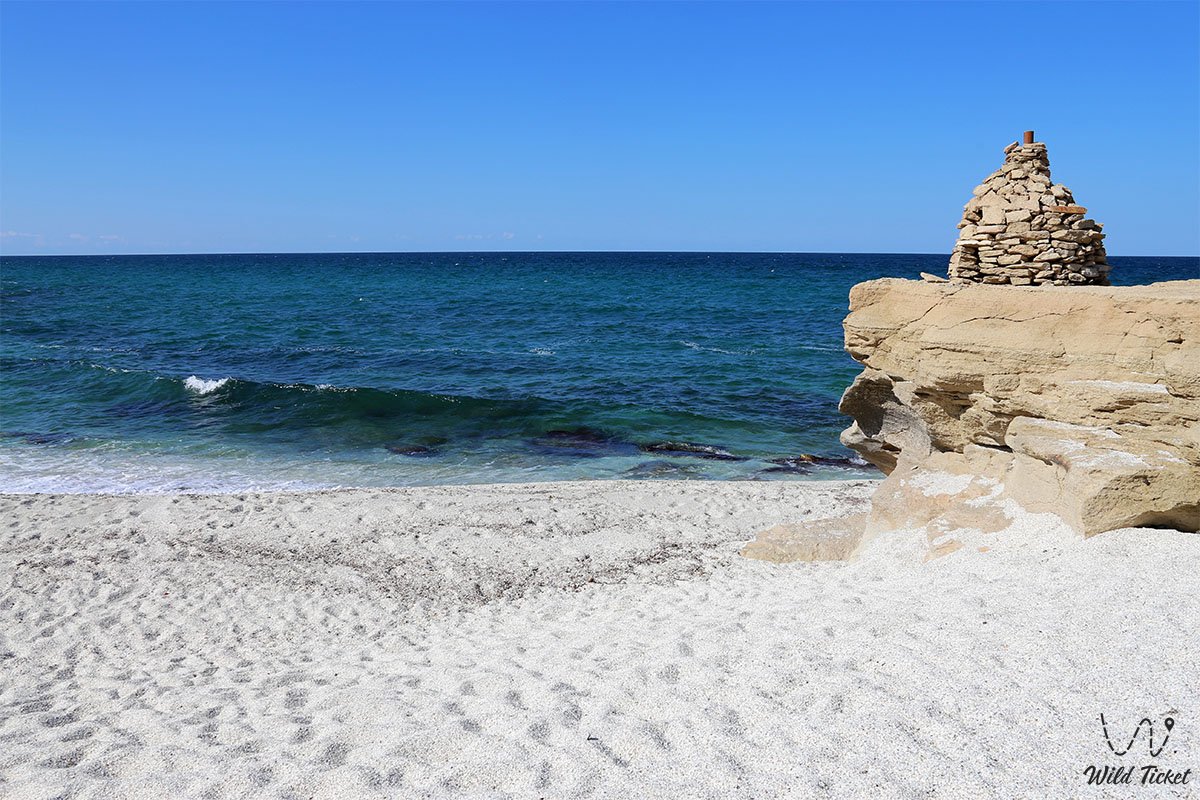
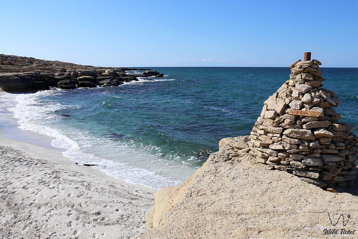
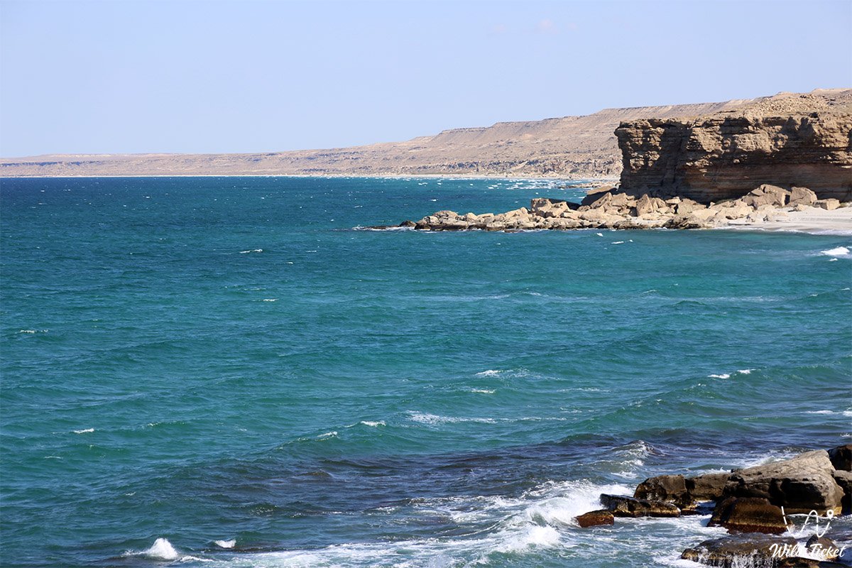
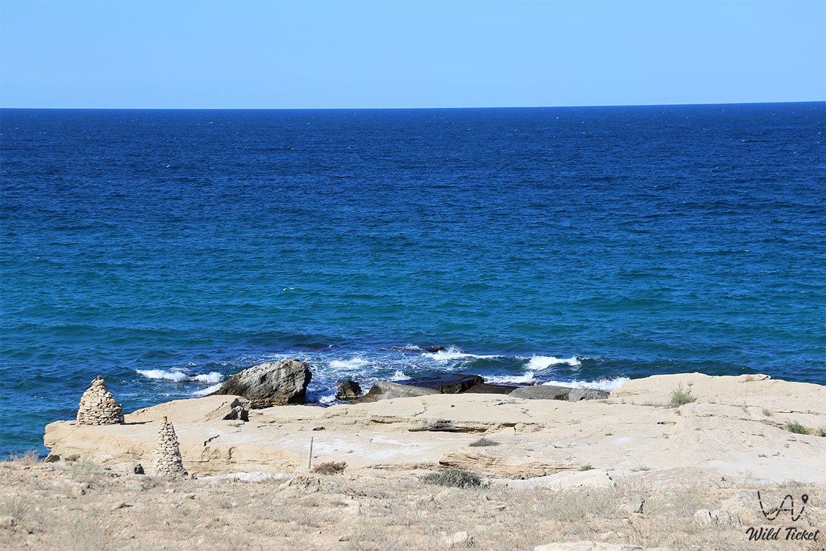
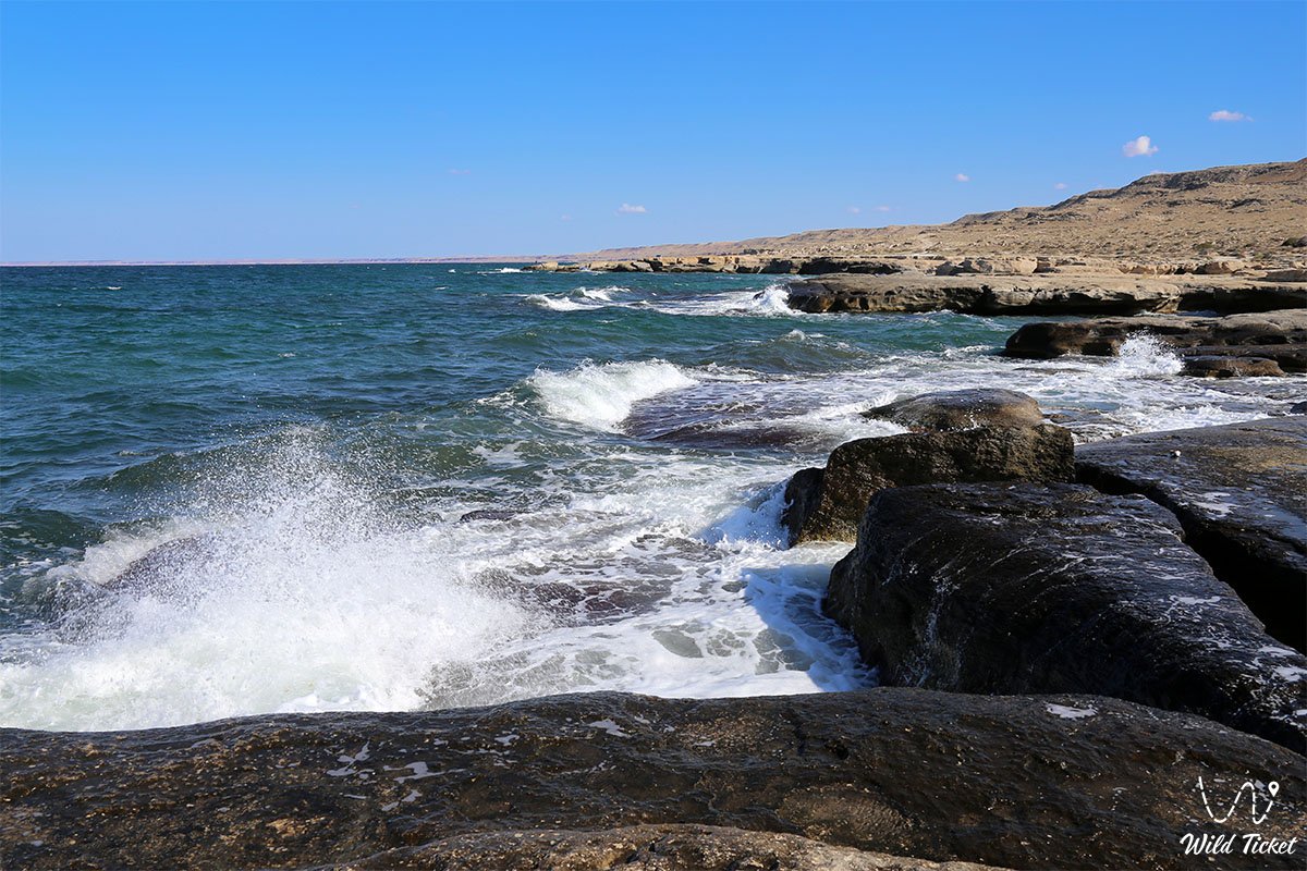
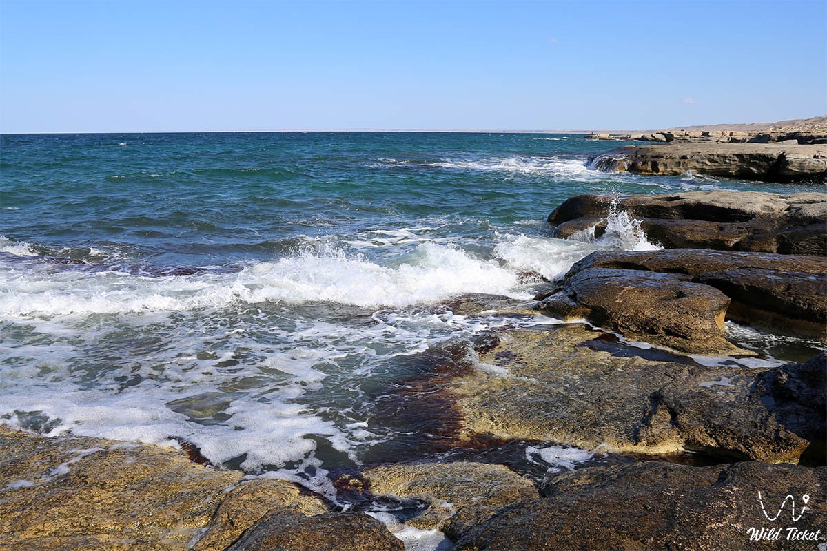
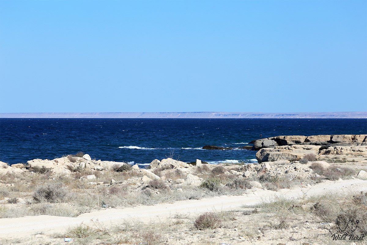
Golubaya bay (Blue bay, also known among local road travelers as the 63rd or 68th kilometer, Blue Lagoon) is one of the most picturesque and grand wild coastal corners on the eastern shore of the Caspian Sea in the Tupkaragan district. Hundreds of millions of years ago, this entire marine area and the adjacent coast were part of the prehistoric Tethys Ocean.
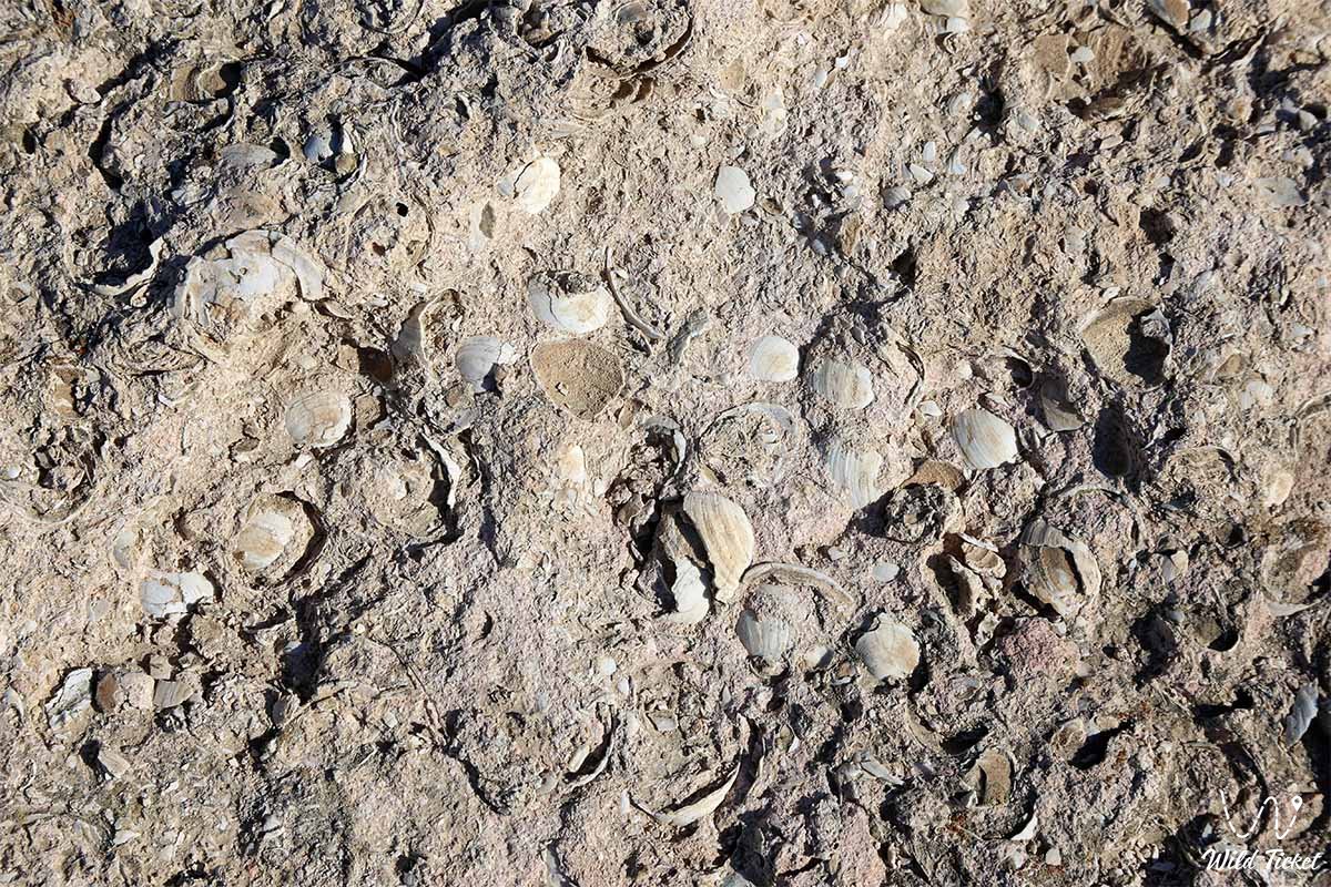
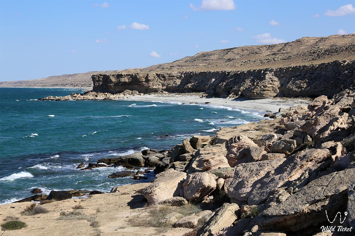
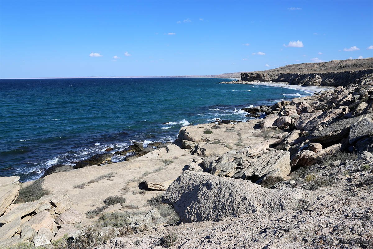
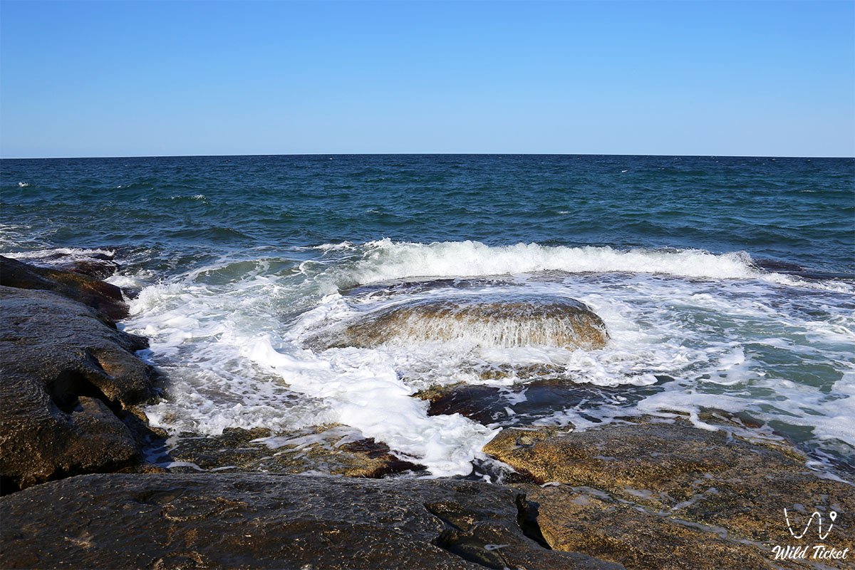
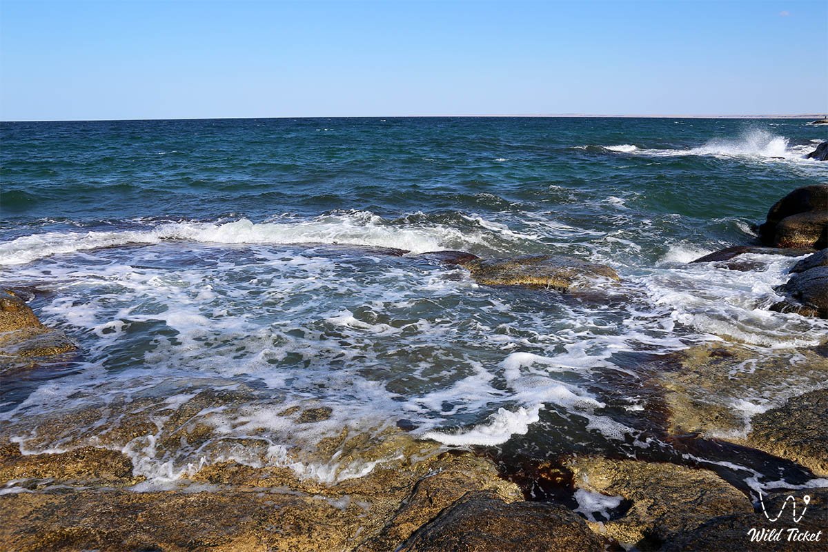
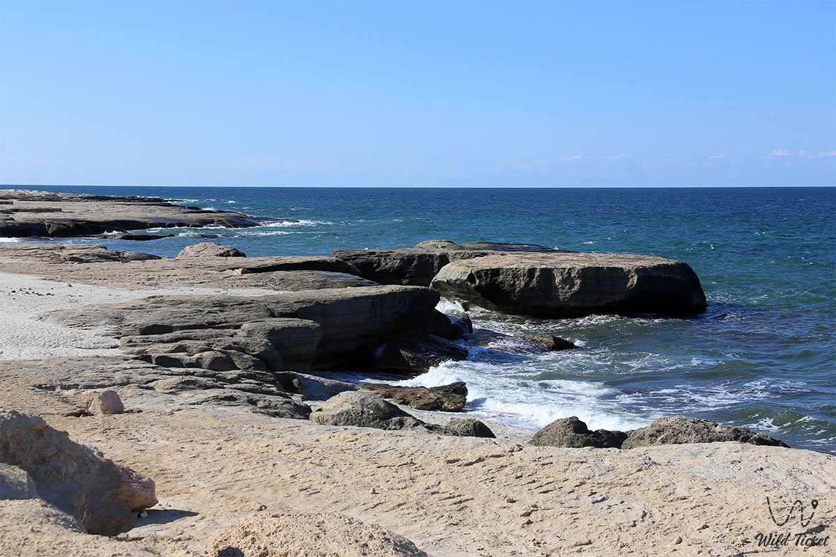
Throughout geological eras, massive beds of Sarmatian and Pontian shell limestones were deposited in the shallow bays of the Mesozoic and Cenozoic basins, composed of compressed shells of ancient mollusks, carbonate silts, and coral colonies. Following the retreat of the ancient ocean waters and the stabilization of the Caspian Sea borders, surf waves and constant wind erosion abraded the hard limestone slabs, turning them into natural stepped terraces, deep scour hollows, and whimsical grottoes.
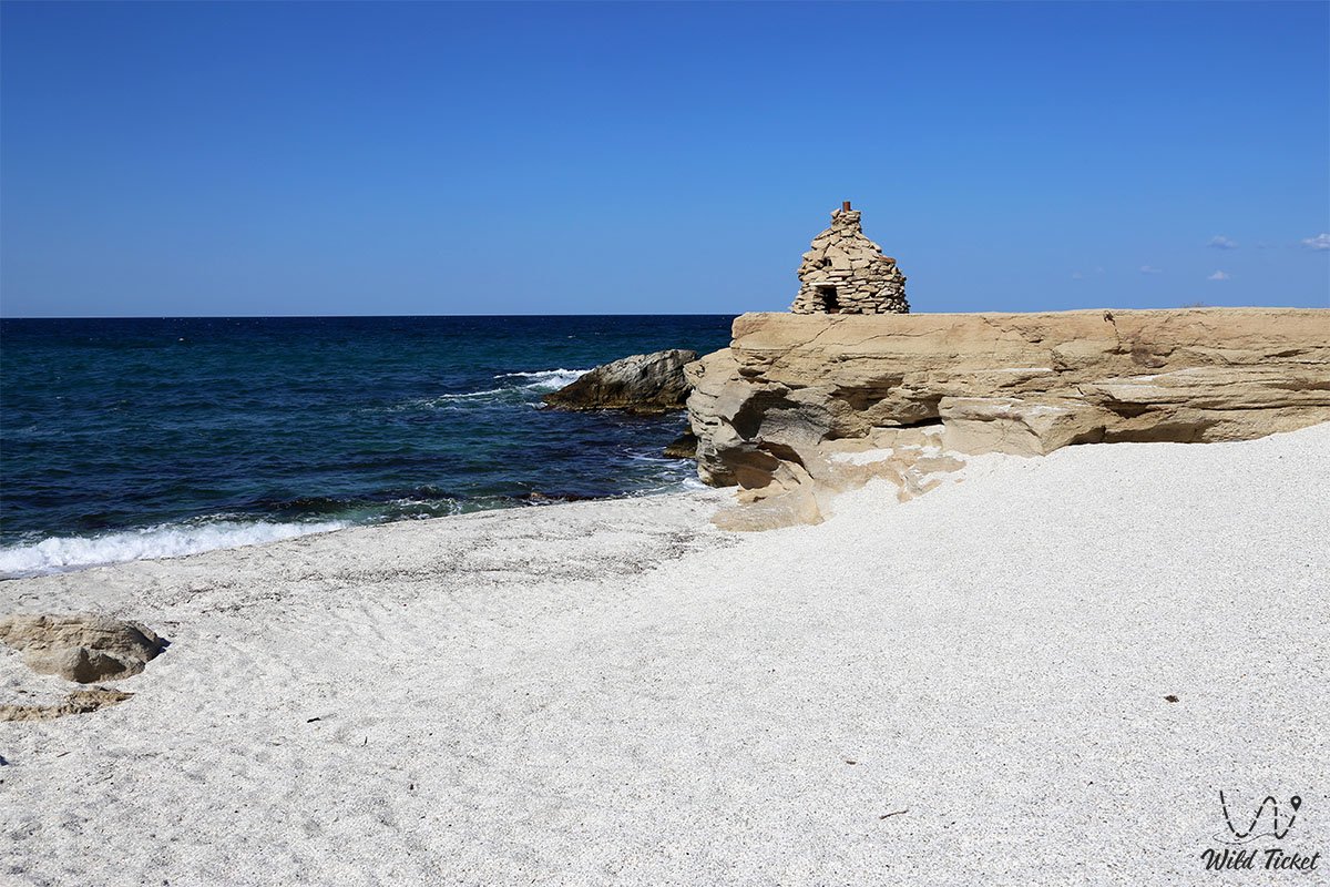
Golubaya bay owes its popularity not only to its pristine beach, but also to its distinctive rock monuments. The main signature attraction of the bay is the Devil's Finger rock, standing offshore 500 m from the coast and concealing a small through-grotto inside. From a certain point on the shore, the coastal stone boulders form a striking optical phenomenon—the profile of a human face that, as the observer slowly shifts position, seems to alter its emotions from stern sorrow to a broad smile.
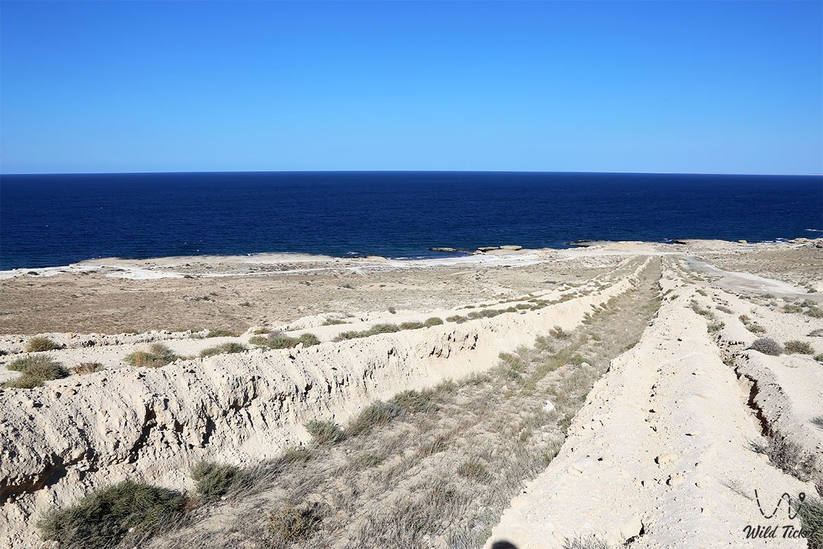
The rich history of the coast is complemented by medieval stone fortifications and deep cartwheel ruts carved into the solid coquina limestone by the "Tulkili" fishing guild, which supplied Caspian fish to the markets of Fort-Shevchenko.
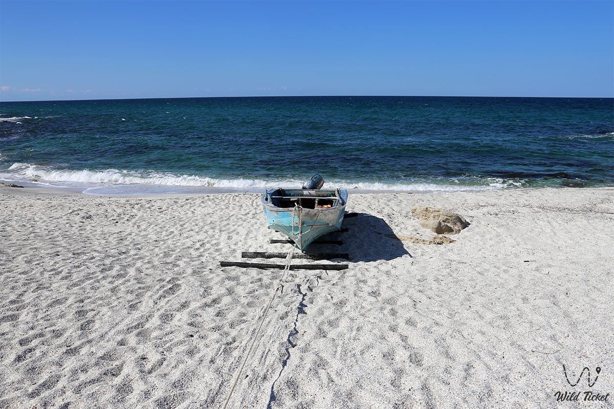
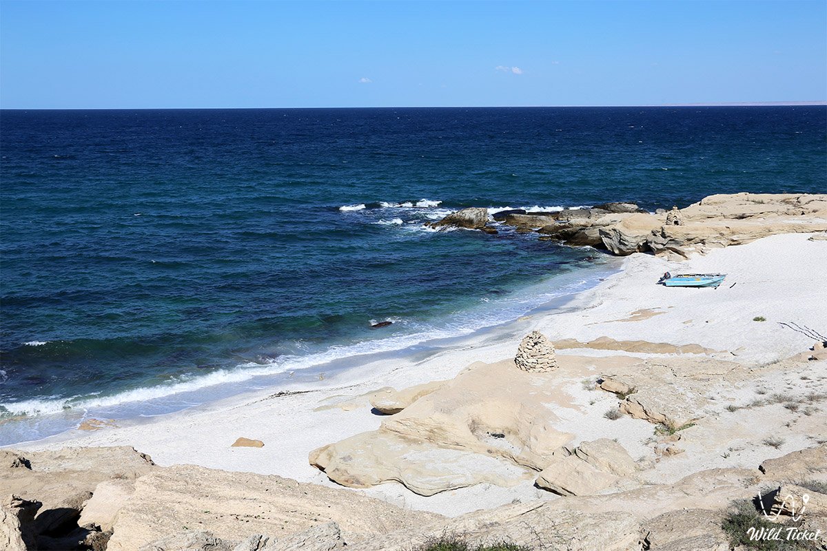
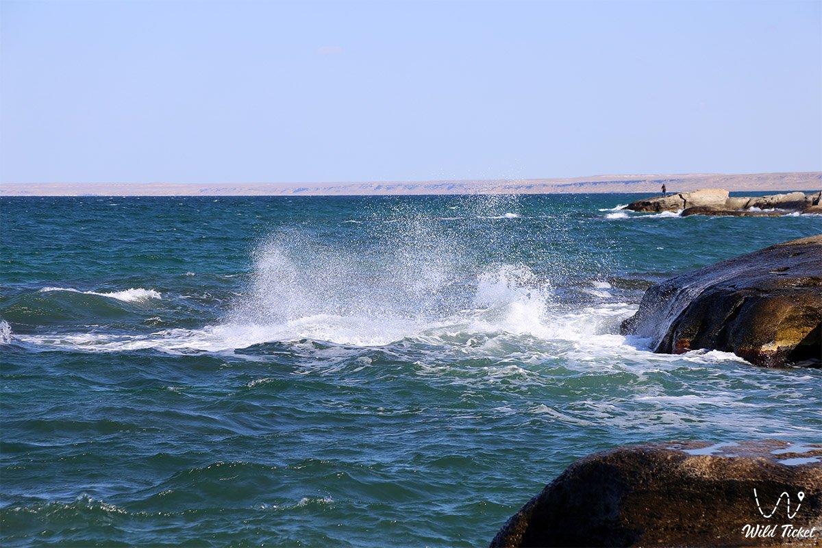
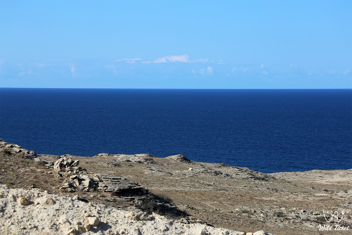
The unique heavy golden-hued coquina sand does not kick up sediment from the bottom, allowing the seawater to maintain crystal clarity that shimmers from delicate turquoise across shallow bars to deep sapphire and emerald shades along rocky drop-offs.
In the expeditionary geography and travel logistics of Mangyshlak, Golubaya bay holds an exceptionally advantageous position in the southwestern section of the Tupkaragan peninsula. The coastal strip, extending 546 m from south to north with a maximum width of 123 m, is formed by the confluence of the mouths of two scenic erosional canyons—Tulkili and Uzynkudyk.
The bay is located approximately 80 km northwest of the regional center of Aktau and 75 km southeast of the historic museum town of Fort-Shevchenko. The site seamlessly integrates into the coastal tourist circuit of Western Kazakhstan. Just 15 km to the south, monumental cape Sagyndyk projects outward with sheer cliffs alongside neighboring cape Skalisty.
Heading northward along the coastline opens access to the freshwater oasis of Saura gorge with its relict Karakup lake and swamp turtles, Tamshaly canyon with its waterfall ledge, Kokbulaksay canyon, Sultan-epe canyon with the famous rock-cut Sultan Epe mosque, Kapamsay canyon, the remarkable Zhygylgan sinkhole with fossilized footprints of prehistoric animals, and the gentle shores of Sarytash bay.
--------------------------------------------
How to get there and visit –
Golubaya bay (Blue Lagoon) is situated on the southwestern coast of the Tupkaragan peninsula in the Tupkaragan district of the Mangistau region, between cape Sagyndyk and the village of Kyzyluzen. The distance from the city of Aktau is around 80 km, from the town of Fort-Shevchenko about 75 km, from the village of Kyzyluzen 33 km, and about 15 km north along the coast from cape Sagyndyk.
GPS geographic coordinates of Golubaya bay beach:
44°10'19"N 50°51'07"E
The route from the city of Aktau leads northwest along the regional paved highway Aktau – Fort-Shevchenko (via Akshukur village). At kilometer 68–69 of the highway, turn left onto an unpaved steppe track heading toward the sea. From there, the trail runs for about 10 km along a stony-sandy dirt track until coastal structures and landmarks of the Tulkili tract appear, where an established track descends directly onto the sandy strip of the bay. Total driving time from Aktau takes about 1–1.5 hours.
When traveling from Fort-Shevchenko, the route heads southeast along the highway (about 70 km of asphalt), followed by a right turn onto a steppe track extending for about 5–7 km to the shores of the bay.
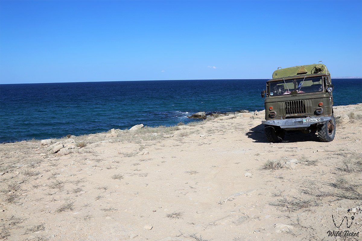
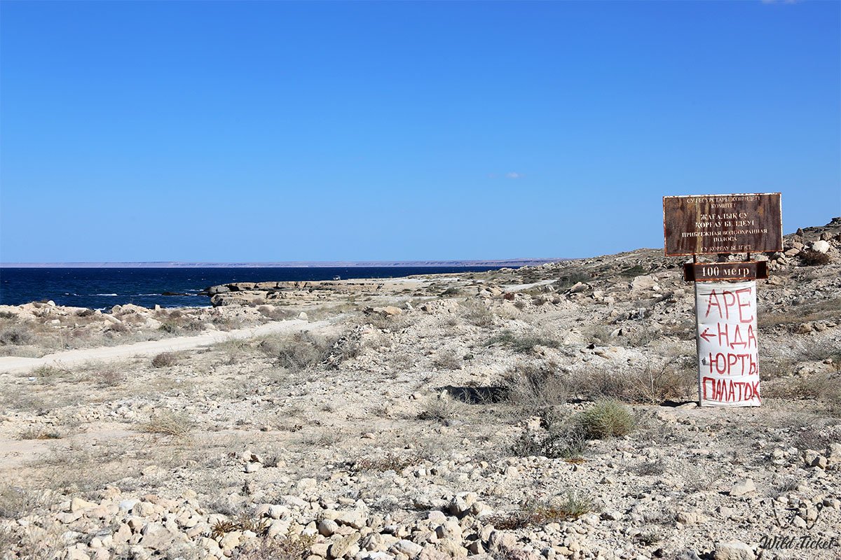
Access tracks and passability: scheduled public transport and route buses do not run to Golubaya bay. The first 68 km follow smooth asphalt suitable for any vehicle. However, the final 10 km of the steppe approach to the sea feature stretches of deep loose sand, washboard terrain, stepped limestone rock outcrops, and washouts around the Tulkili and Uzynkudyk canyons.
A four-wheel-drive 4x4 SUV with ground clearance of at least 200 mm is strongly recommended for safe travel to the bay. Low-clearance, two-wheel-drive passenger cars risk getting bogged down in the loose sand of the coastal terrace or scraping undercarriages on sharp coquina limestone ledges.
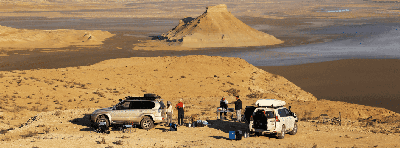
Vehicles should be fitted with All-Terrain (AT) tires, a functional spare tire, an automotive compressor for deflating and inflating tires when traversing sandy sections, a dynamic snatch strap, and a shovel.
Walking excursions and safety precautions: walking along the shoreline from the main sandy beach to the Devil's Finger rock takes about 10–15 minutes (a distance of around 500 m). When exploring coastal rock ledges and grottoes, exercise extreme caution: wet limestone covered with algae is extraordinarily slippery, and loose boulders can shift on talus slopes. Wearing comfortable shoes with non-slip soles or closed-toe hiking shoes is strongly advised.
ATTENTION: swimming in the waters of Golubaya bay is officially prohibited due to complex hydrodynamics, treacherous bottom rip currents, abrupt depth drops, and an abundance of sharp underwater reefs. The Devil's Finger rock attracts thrill-seekers for cliff diving, but such jumps are deadly due to submerged rock ledges and strong swells.
Snakes (including copperheads and vipers) frequently bask on coastal stones and in rock crevices, so watch your step carefully when walking along stony terraces.
Environmental safety rules: the coast of Golubaya bay is a unique wild ecosystem subjected to heavy recreational pressure.
Within the limits of the bay and adjacent canyons, it is STRICTLY MANDATORY TO:
– carry out all household trash (plastic, glass, packaging, metal cans) with you to stationary city dumpsters;
– avoid driving vehicles onto the sandy surf line and vegetated dune sections;
– avoid lighting open, uncontrolled brushwood campfires in windy weather (cooking is permitted strictly on portable gas stoves or in camp grills);
– preserve historic fragments of the medieval stone wall and ruts of the ancient road;
– avoid painting graffiti on the Devil's Finger rock and coastal limestone monoliths.
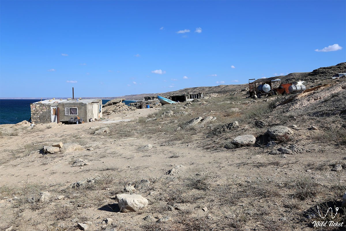
Infrastructure: Golubaya bay completely lacks tourist infrastructure—there are no hotels, cafes, equipped shower facilities, lifeguard stations, or trash bins. Trips are organized on a fully self-sustained basis.
Camping and picnicking on the coast require a drinking water supply of at least 3 liters per person per day, a windproof tent with reliable sand stakes or storm guy lines secured to heavy rocks, sun protection (canopy/tarp), and a personal first-aid kit.
The nearest modern fuel stations, tire repair shops, pharmacies, and grocery stores are located in the village of Akshukur (about 65 km south) or in Fort-Shevchenko (about 75 km north). Mobile coverage by major Kazakhstani telecom operators is reliable across elevated plateau sections, but signal reception may weaken under sheer rock ledges right at the water's edge.
Best time to visit is the period from May through October. In spring (May – early June), the coastal steppe blooms and carries the scent of wormwood, air temperatures stay within a pleasant +22...+26 °C, and the sea showcases vivid turquoise shades.
The velvet season runs from late August to early October, when the summer heat subsides, calm seas prevail, and water temperatures hold around +23...+25 °C. In July and August, midday temperatures under direct sunlight regularly exceed +36...+38 °C, making the afternoon hours an ordeal, though evening hours offer unforgettable crimson sunsets over the sapphire waves of the Caspian Sea.
--------------------------------------------
History
The history of Golubaya bay preserves traces of the prehistoric Tethys Ocean, memories of medieval caravan routes across the Aral-Caspian region, and the working chronicle of Mangyshlak fishing crews.
Millions of years ago, when the waters of the Mesozoic Tethys Ocean and the subsequent Neogene Sarmatian Sea covered Tupkaragan, multi-meter limestone sequences accumulated in bottom strata. Tectonic uplift transformed the seabed into a tableland, while faults and water flows cut deep Tulkili and Uzynkudyk canyons toward the sea, forming a protected cove.
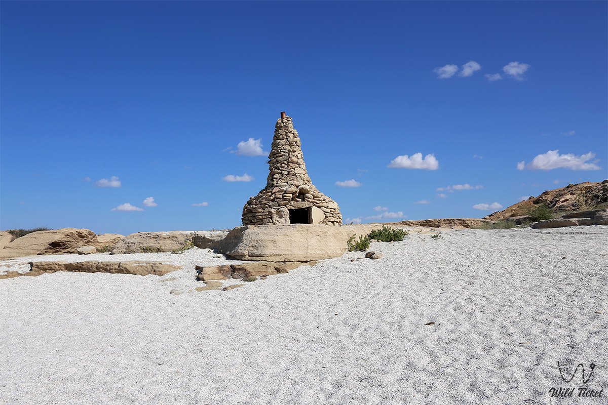
During the Middle Ages and Early Modern period, the Tyubkaragan coast served as an essential maritime transit artery. Just 30 km to the north lay the beginning of the famous trade route "from Khiva to the Rus," which connected Central Asian oases with merchant piers across the Caspian Sea. On the southern rocky ledge of Golubaya bay, fragments of a medieval defensive wall built from rough coquina stone survive to this day. This fortification served as an outpost and shelter for merchants and seafarers overseeing safe vessel mooring in the storm-sheltered bay.
On the northern rocky terrace above the bay lies a rare historical transportation monument—the remains of a multi-lane stone-rut road. In the soft Sarmatian limestone, the wooden wheels of hundreds of carts (arbas) carved deep parallel ruts over decades of continuous use. In the late 19th and early 20th centuries, a prominent fishing enterprise known as "Tulkili" (meaning "fox place / fox den" in Kazakh) operated here. Fishermen carried out large-scale harvesting of valuable sturgeon and freshwater-tolerant fish species in the rich waters of the bay, after which the catch was loaded onto carts and hauled along these carved rock ruts to urban markets and salting facilities in Fort-Shevchenko.
During Soviet times and up through the late 20th century, Golubaya bay remained an isolated, near-legendary destination. Among residents of the emerging city of Shevchenko (now Aktau), accounts of white sands, turquoise waters, and the mysterious Devil's Finger rock were passed down as romantic folklore. Only with the widespread availability of capable 4x4 vehicles in the early 21st century did the bay open to a broader range of travelers, evolving into an iconic destination for ecological and overland expeditions.
Information
In geological and geomorphological terms, Golubaya bay is an erosional-abrasional semi-enclosed coastal lagoon carved into the structural plateau of the Tupkaragan peninsula where limestone formations contact the Caspian basin. The shoreline arc of the beach measures 546 m from south to north, reaching a maximum sand-and-shell width of up to 123 m.
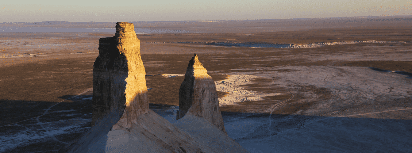
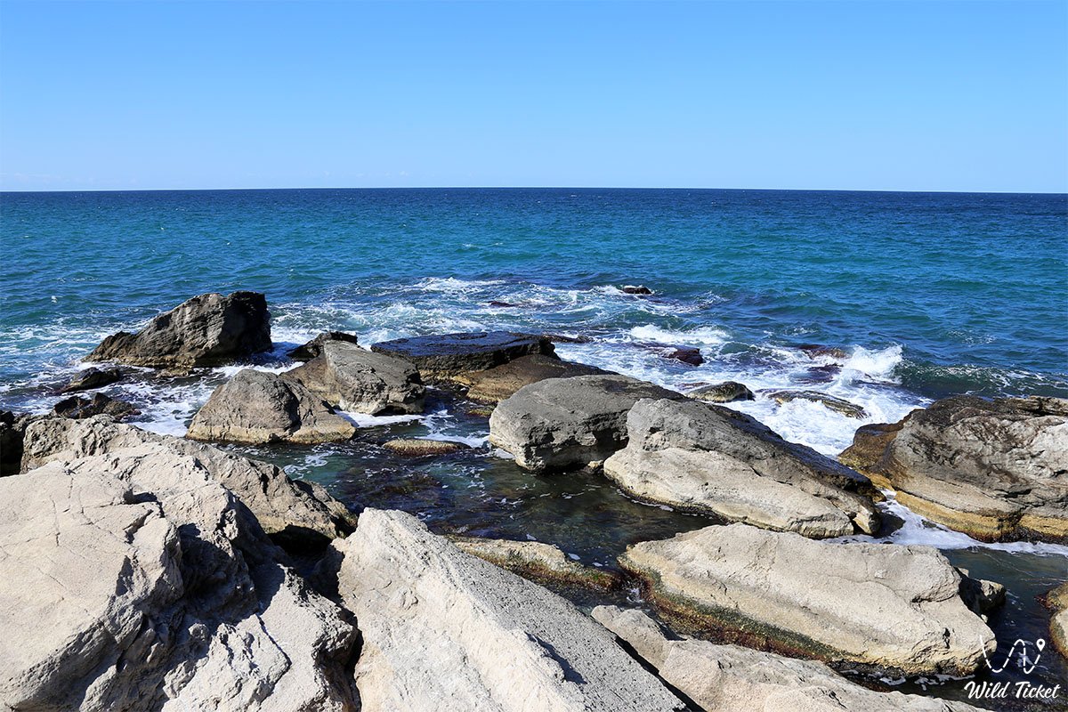
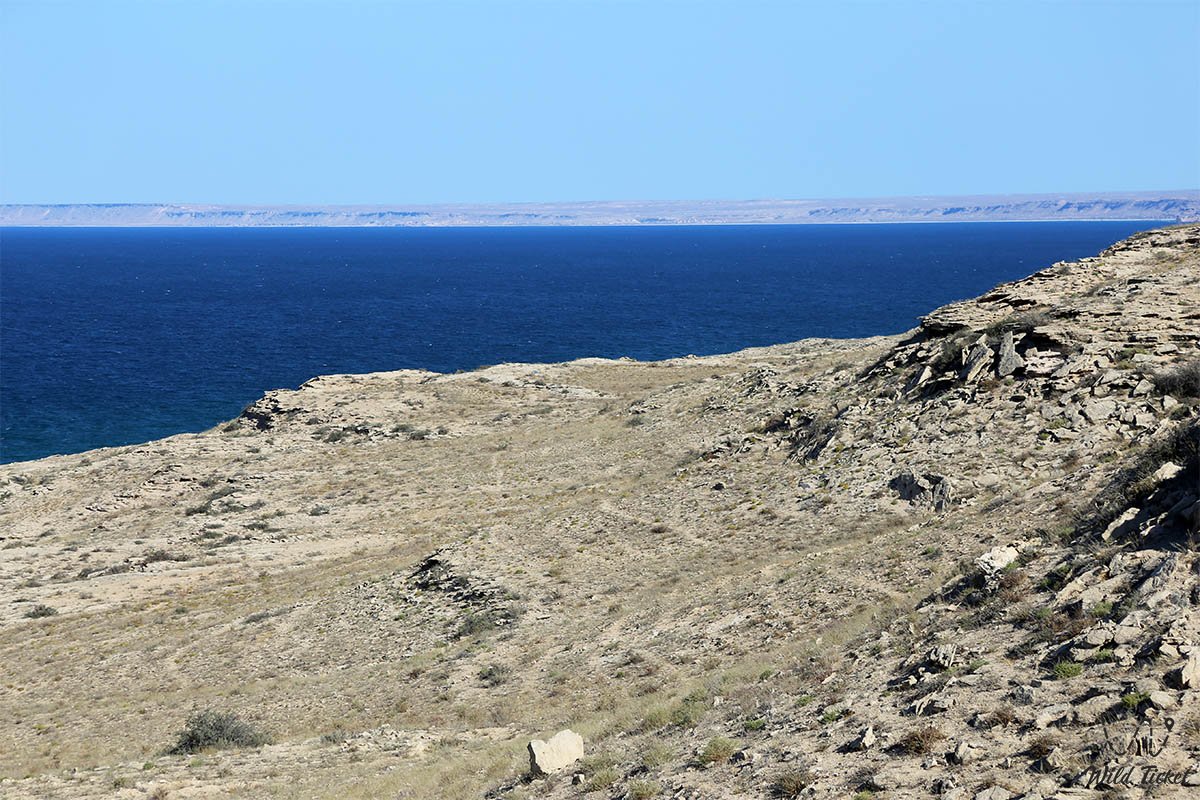
The flanks of the bay and adjacent headlands consist of Miocene and Pliocene coquina limestones of the Sarmatian and Pontian stages, formed at the bottom of the ancient Tethys Ocean. The rock exhibits high porosity, distinct stratification, and abundant impressions of bivalve mollusks (cardiids, mactrids). Under wave action, bottom currents, and wind abrasion, the coastal rock massif underwent pronounced erosion, producing wave-cut niches, underwater grottoes, natural rock pools, and monumental sea stacks.
The primary residual landform is the Devil's Finger rock—an isolated coastal sea stack standing about 8–10 m high, positioned in the sea 500 m north of the main beach. The stack is composed of hard, silicified limestone varieties and features a wave-carved through-grotto at water level that can be entered on a stand-up paddleboard or by swimming in calm conditions.
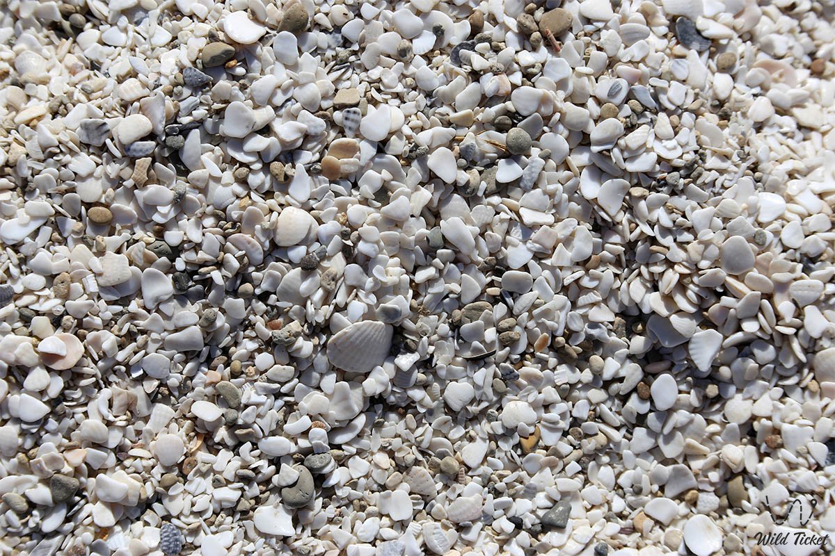
The distinct optical clarity of Golubaya bay's water is driven by the physical and mineralogical properties of its bottom sediments. The beach is formed of heavy, coarse-grained quartz-carbonate and shell sand with a golden-yellow hue, devoid of fine silt or clay fractions. Consequently, even during moderate wave activity, the water does not cloud with suspended sediment. Over sandy shallows, the depth increases gradually, producing a clear turquoise tone, while along submerged rock drops and reefs, the sea transitions sharply to deep sapphire and cobalt tones.
The climate of the area is dry and desert-maritime, featuring mild winters (average January temperature -1...-3 °C) and prolonged, hot summers. The average July temperature is +27...+29 °C, though continuous refreshing sea breezes temper coastal heat. Precipitation is minimal—no more than 130–150 mm annually—while relative summer humidity ranges between 50% and 65%.
Detailed site description
The natural and historic complex of Golubaya bay includes the following key features:
• Golden shell-and-sand beach – an expansive shoreline arc 546 m long and up to 123 m wide featuring heavy sand and a gentle entry into the azure sea;
• Devil's Finger sea stack – a whimsical stone pillar at the northern entrance to the bay with an internal wave-cut grotto and stepped limestone ledges;
• Rock relief "Human profile" – a distinct pareidolic visual phenomenon on the right-bank cliffs that alters facial contours depending on the viewing angle;
• Tulkili canyon and Uzynkudyk canyon – two converging deep erosional gorges carved by plateau floodwaters that shape the natural amphitheater of the bay;
• Ruins of a medieval fortification wall – remains of defensive stone masonry on the southern rocky headland that served as a citadel for medieval seafarers;
• Ruts of the Tulkili cart road – deep grooves carved into the coquina bedrock on the northern plateau by wagons of 19th- and 20th-century fishing guilds;
• Abrasion pools and rock terraces – natural hollows in the Tethys Ocean coastal limestone that fill with seawater during storms.
Flora and fauna
The vegetation cover surrounding Golubaya bay is typical of coastal semi-deserts and rocky Tyubkaragan chinks. Psammophytes and halophytes thrive along sandy shore stretches and dune flanks: giant wildrye, sand acacia, Schober's nitrebush, and camelthorn (alhagi). Along the slopes of the Tulkili and Uzynkudyk canyons grow thickets of tamarisk, hawthorn bushes, wild blackthorn, and gray wormwood, which lends a characteristic herbal scent to the warm air. In May, the coastal plateau is carpeted with wild tulips, desert poppies, astragalus, and flowering succulents, followed by wild berries ripening on bushes by autumn.
The wildlife of the coastal zone displays remarkable diversity. Among mammals, herds of semi-feral grazing horses roam the steppe near the bay, alongside graceful saiga antelopes and goitered gazelles visiting open pastures in morning hours. The rocky slopes are inhabited by corsac foxes, badgers, tolai hares, marbled polecats, and steppe polecats. Rock crevices provide roosting habitat for bat colonies.
Herpetofauna is particularly rich: numerous reptiles bask on sun-warmed rocks around Golubaya bay. Common species include the rapid fringe-toed lizard, desert lidless skink, gray gecko, Central Asian tortoise, and desert monitor. Among snakes, non-venomous stepped and four-lined rat snakes, dice snakes, as well as the venomous Halys pit viper and steppe viper are found, requiring ongoing care from visitors.
The waters and coastal zone of the bay form an important transit corridor and stopover for migratory waterfowl. During seasonal flights, flocks of mute swans, whooper swans, common shelducks, tufted ducks, mallards, and wild geese rest on the waters of Golubaya bay. Caspian gulls, chukar partridges, and birds of prey—including long-legged buzzards, kestrels, saker falcons, and peregrine falcons—nest along the cliffs. In clear waters among reefs live Caspian gobies, mullets, and Caspian roach, while from headlands one can occasionally spot an endemic Caspian seal surfacing.
Legend
An ancient Mangystau legend about the Stone Guardian of the Caspian and beautiful Aisulu is associated with Golubaya bay and the Devil's Finger rock.
The legend tells that when merchant caravans journeyed along the silk roads of Tyubkaragan, beautiful Aisulu—daughter of an old fisherman from the Tulkili tract—lived on the shores of the azure bay. The maiden's beauty matched the radiance of morning waves, and her voice rang clear like water droplets from a mountain spring. A brave young batyr fell in love with her, venturing out onto the stormy sea in his tarred boat.
One day, a ruthless sea raider landed on the coast, intending to carry the beauty away into captivity by force. The batyr engaged the villain in an uneven duel upon the rocky headland. When his strength waned, the young warrior raised his hands to the sky and appealed to the spirits of the ancient Tethys Ocean to protect the honor of his beloved. Instantly, thunder rolled, the sky darkened, and the cruel raider froze on the brink of the abyss, transformed into an ugly solitary stone pillar that the people later named the Devil's Finger.
The noble batyr, wounded in battle, sank to his knees on the right shore of the bay, never taking his loving eyes off the calm azure harbor where Aisulu awaited him. The ancient spirits imprinted his faithful face directly upon the coastal cliffs. The legend claims that the stone profile of the batyr lives on: when calm settles over the sea and lovers walk along the water, the stone warrior smiles at them in the evening glow, but before storms gather, his brow furrows, warning fishermen of the perils of the merciless sea.
Conclusion
Golubaya bay is a true highlight of wild adventure travel in Mangystau, where limestone battlements of the ancient Tethys Ocean meet golden sands and crystal-clear turquoise waters of the Caspian Sea. The pristine silence of vast open landscapes, the mystique of the Devil's Finger rock, and the romance of rolling azure waves offer every traveler an incomparable experience in the wilderness of the Tyubkaragan peninsula.
Interesting attractions nearby:
• Cape Sagyndyk;
• Saura gorge and lake;
• Tamshaly canyon;
• Sultan-epe canyon;
• Sultan-epe underground mosque;
• Kapamsay canyon;
• Zhygylgan tract;
• Fort-Shevchenko museum town;
• Cape Tyub-Karagan;
• Tupkaragan bay;
• Sarytash bay;
• City of Aktau;
• Devil's Finger rock;
• Kokbulaksay canyon;
• Cape Skalisty;
• Kyzyluzen village.
Photogallery: