Deep-water marine area in the west of the Tupkaragan Peninsula –
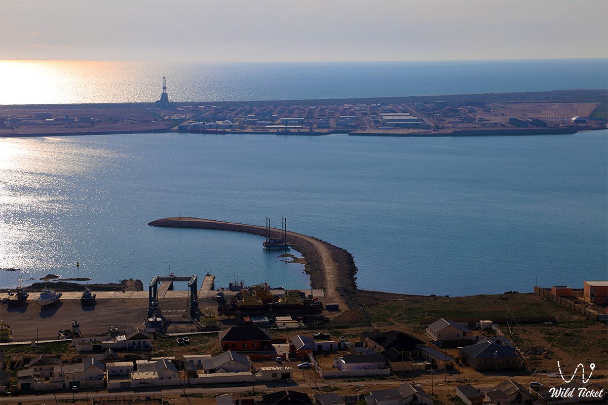
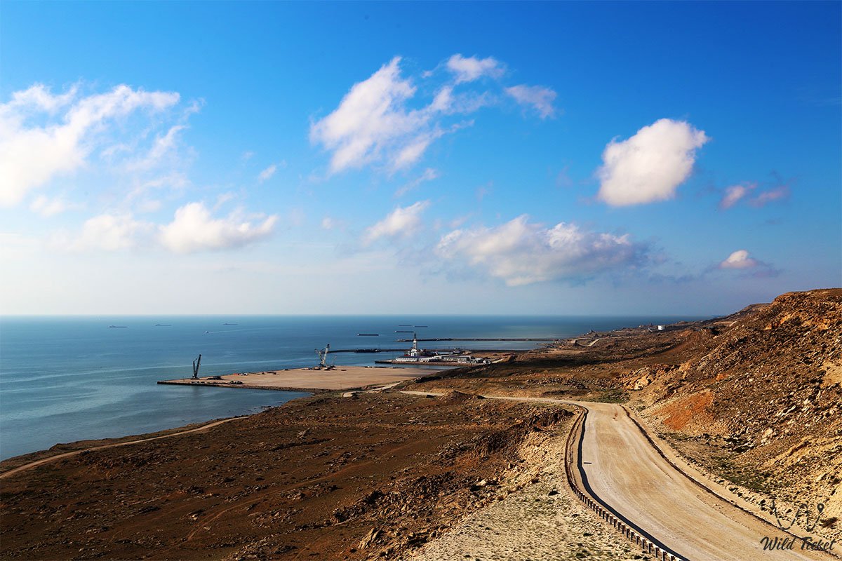
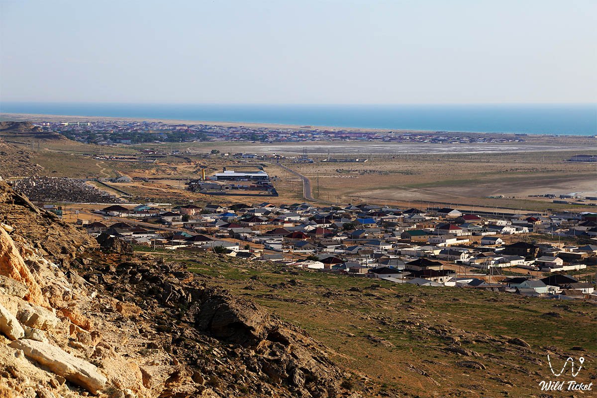
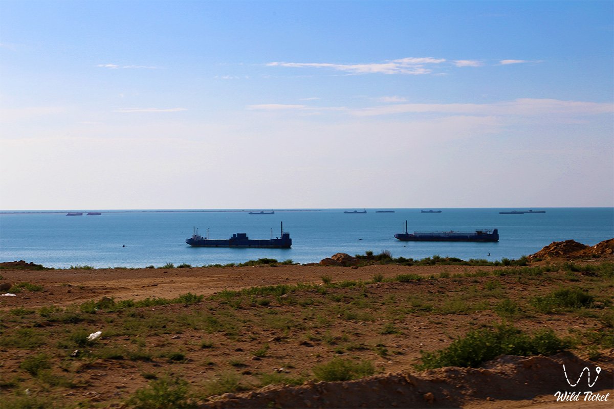
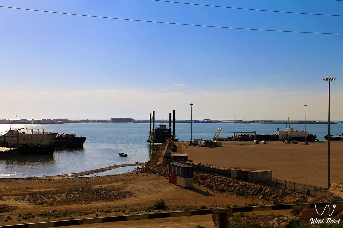
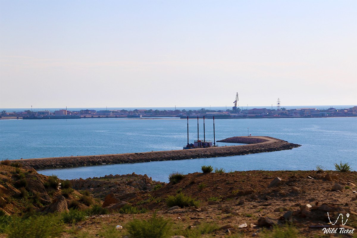
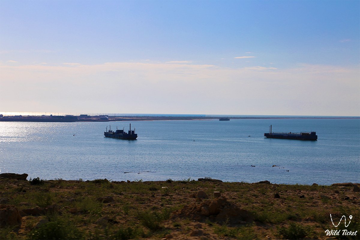
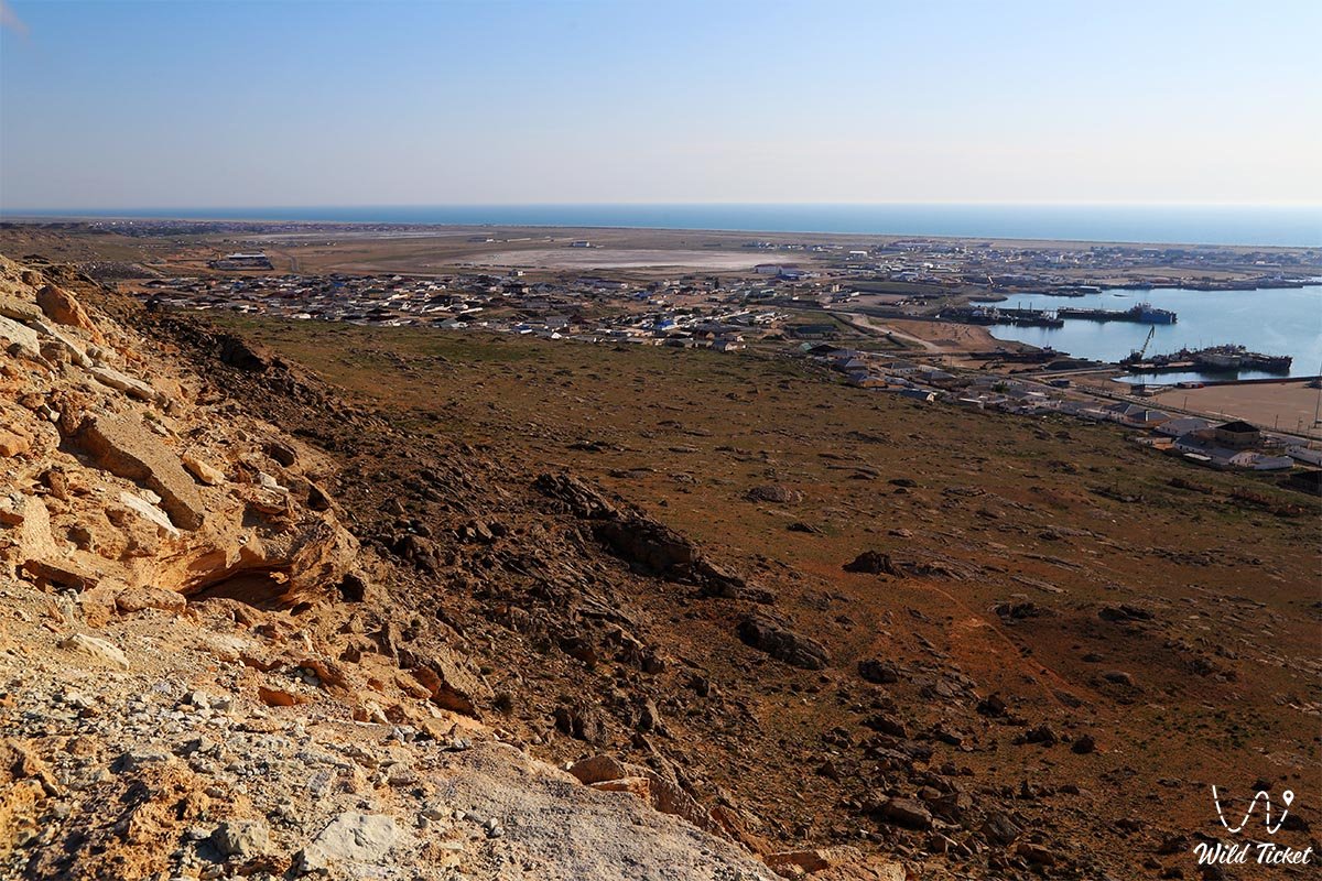
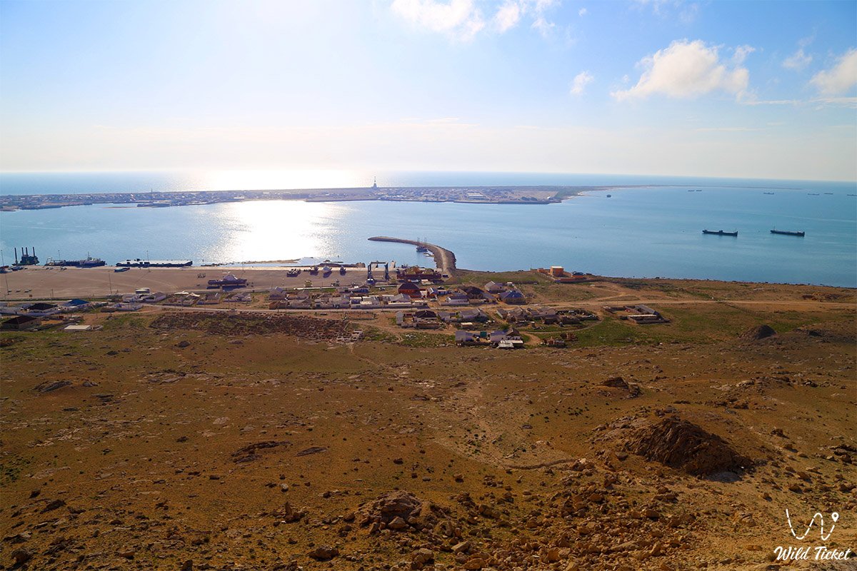
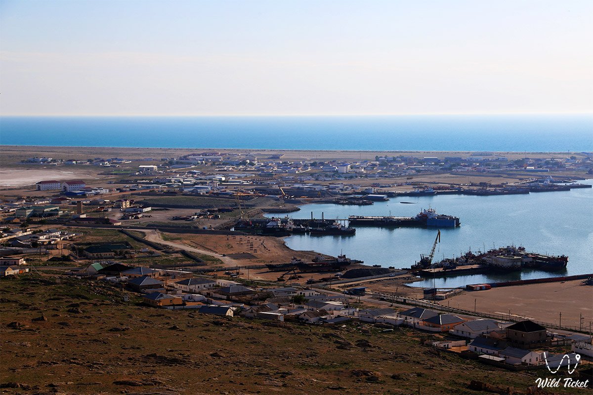
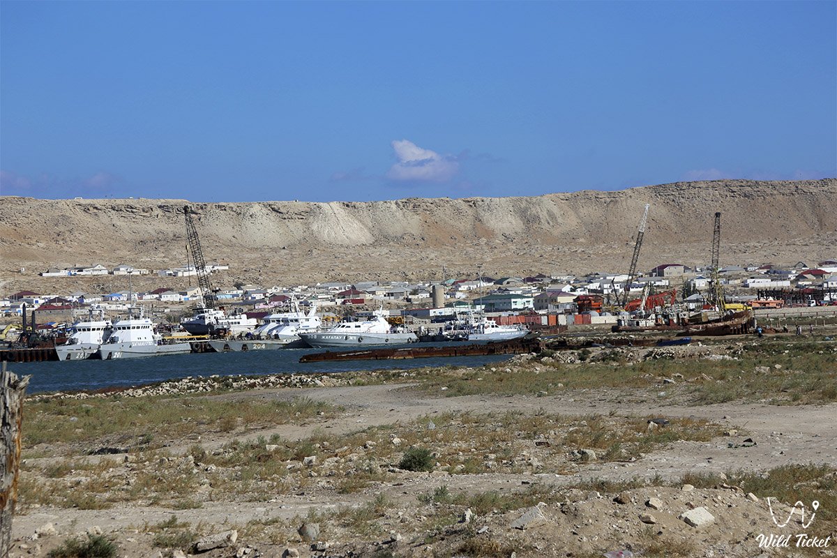
Tyub-Karagan Bay (in geographical and cartographical publications also Tyubkaragan Gulf, Tyub-Karagan Cove) represents the largest natural sea bay of the Caspian Sea, jutting deeply into the western coast of the Tupkaragan Peninsula within the territory of the Tupkaragan district in the Mangystau region. Sprawling along the coast of the historical town of Fort-Shevchenko, the port village of Bautino, and the seaside village of Atash, this bay forms the primary sheltered hydrographic hub of the entire eastern sector of the Caspian. Its key hydrological core is the semi-enclosed inner Bautino Bay, reliably separated from the storm waves of the open sea by the elongated sand-and-shell Tyubkaragan Spit.
The Tupkaragan Peninsula itself (in historical sources also Tyub-Karagan, Tyubkaragan), into whose shores the bay is incised, represents a prominent northwestern promontory of the Mangyshlak Peninsula and a unique geographical bridge linking the boundless expanses of the Caspian semi-desert with azure sea bays, deep erosional canyons, tectonic sinkholes, and dazzling limestone precipices.
The landscape of Tupkaragan was shaped by the multi-million-year influence of the ancient Tethys Ocean and subsequent transgressions of the Caspian Sea: its northern and western facades are formidable white chinks and layered terraces composed of Sarmatian coquina limestones, marls, and variegated clays.
It is here that world-famous geological phenomena are located, such as the grandiose tectonic Zhygylgan sinkhole ("Fallen Land"), Kapamsay canyon with colossal chalk cornices, as well as picturesque freshwater oases Tamshaly and Saura, where crystalline springs flow directly to the seashore.
In the north, the peninsula is crowned by the rocky Cape Tyub-Karagan – the westernmost point of the region with twenty-meter cliffs and the oldest 19th-century lighthouses, while its expanses preserve the oldest towns and ports of the region (Fort-Shevchenko, Bautino), medieval trade centers (Ketikkala settlement), as well as outstanding subterranean rock-hewn mosques of Kazakh Sufis and saints – Shakpak-Ata, Sultan-Epe, and Karaman-Ata.
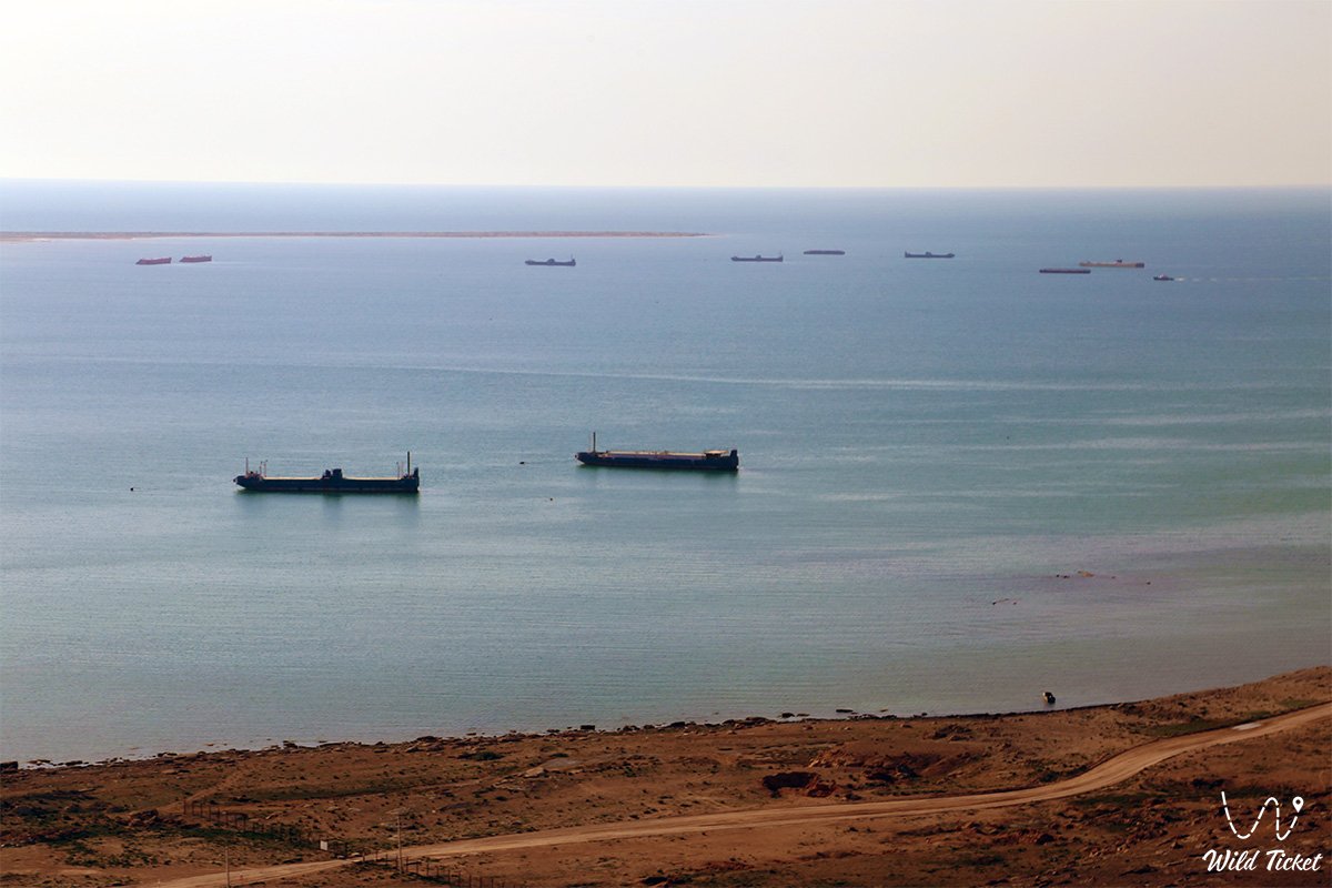
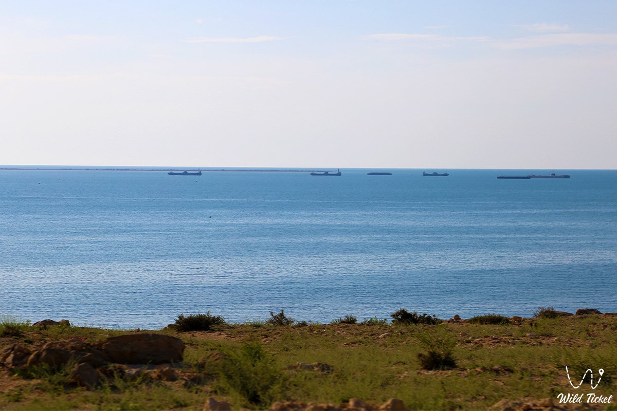
The geographical location and hydrography of the bay have secured its status as the most vital maritime gateway of the region. The length of the bay from the head of Bautino Bay to Cape Tyub-Karagan is about 12 kilometers. The width of the water surface reaches 9 kilometers at the northern entrance throat, about 4.7–5 kilometers in the central part, and narrows to 1.5 kilometers in the south.
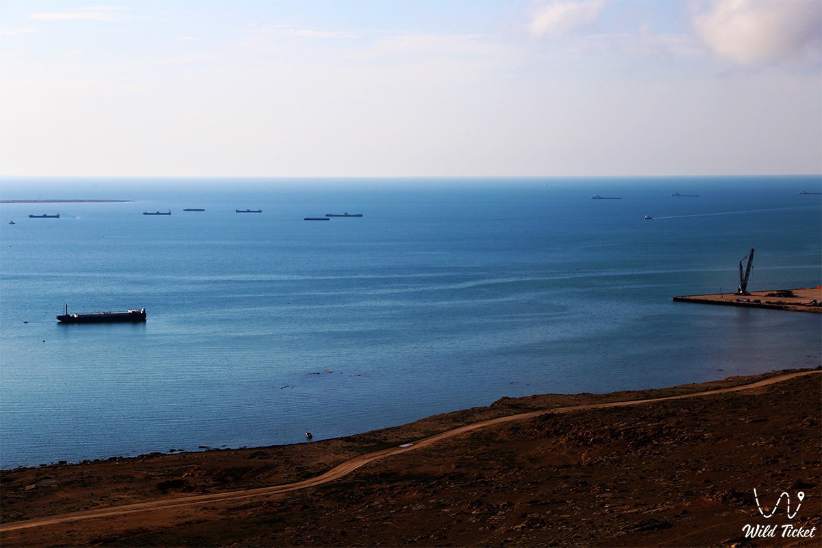
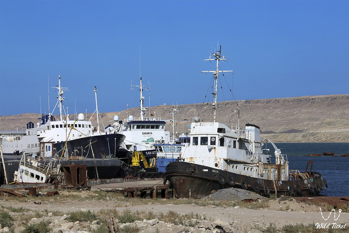
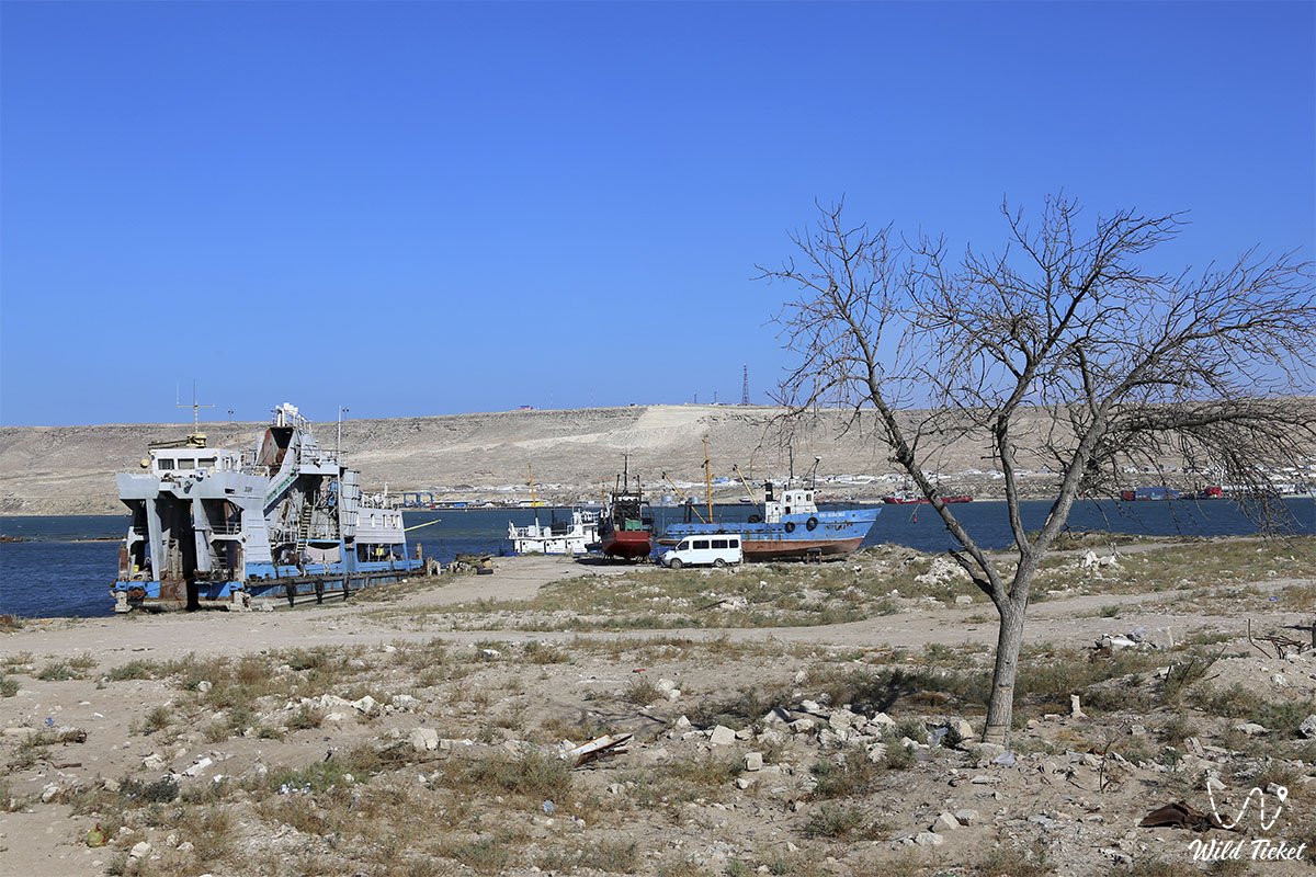
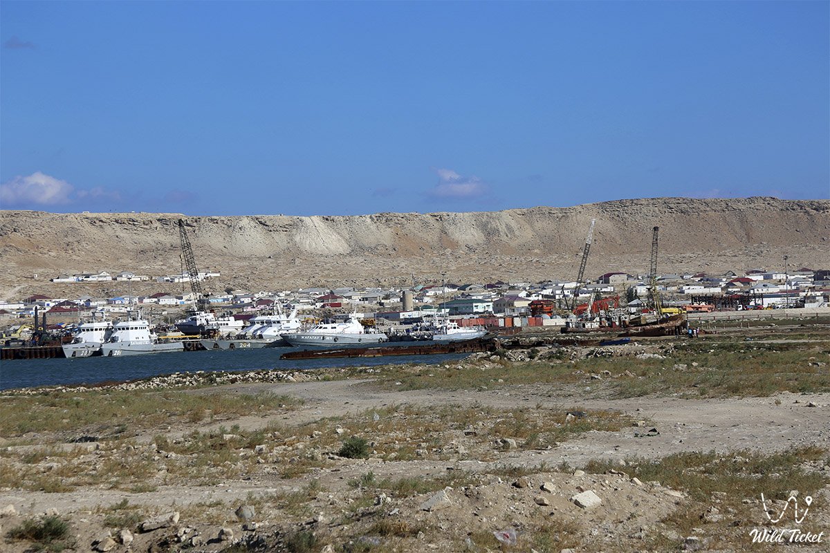
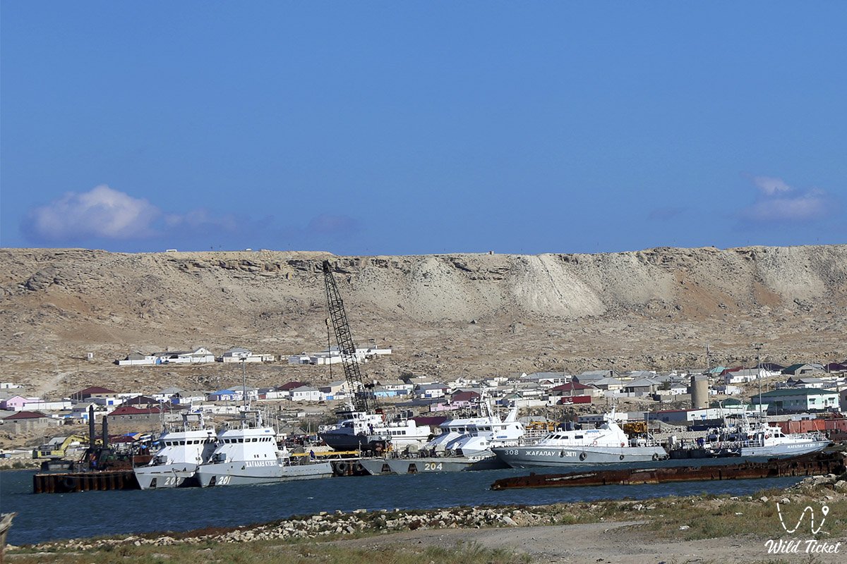
The coastal relief is distinctively contrasting: the southern and western shores are low-lying, composed of coquina and quartz sand, whereas the eastern shore is mountainous, formed by stepped limestone scarps and hills. Unlike the open marine coast of Mangyshlak with its dangerous reefs, the bay provides a reliably sheltered roadstead for vessels of various drafts with a gentle sandy-silty bed.
Thanks to water circulation and coastal topography, the water area virtually never freezes over completely even during severe winters, creating favorable conditions for year-round navigation, wintering of waterfowl, and a safe habitat for marine fauna.
Today, Tyub-Karagan Bay is recognized as a key center of educational, maritime, beach, and fishing tourism in Kazakhstan, revealing to travelers an exciting blend of the Caspian's raw maritime forces, the industrial rhythm of an active port, and the primeval silence of white chinks.
--------------------------------------------
How to get there and visit –
Tyub-Karagan Bay is situated on the northwestern edge of the Mangystau region, approximately 140–145 kilometers northwest of the administrative center of the region – the city of Aktau in the Republic of Kazakhstan. The coastline of the bay encompasses the city of Fort-Shevchenko, the port village of Bautino, and the village of Atash.
GPS geographical coordinates: 44°35'30"N 50°15'24"E
The route from Aktau runs along a high-quality paved highway of republican significance through the settlements of Akshukur and Tauchik directly to Fort-Shevchenko, the village of Atash, and Bautino. Travel time in any passenger car takes about 2 hours. Paved streets and compacted access tracks lead to piers, embankments, and coastal terraces.
For driving along the central paved roads to the embankments of Fort-Shevchenko and Bautino village, a standard passenger sedan is sufficient. However, for a complete journey across the deep sands of the Tyubkaragan Spit, driving along the stony steppe tracks of the eastern shore of the bay, or continuing a circular expedition track to Cape Tyub-Karagan and the Zhygylgan sinkhole, a prepared four-wheel-drive vehicle (4x4) with high ground clearance, durable tires (AT/MT), and skid plates is required, as sharp limestone stones create a risk of tire punctures.
Infrastructure is well developed in Fort-Shevchenko and Bautino: hotels, guesthouses for seafarers and engineers, cafes serving dishes made from fresh Caspian fish, grocery supermarkets, gas stations, and tire repair services. In the residential area, mobile communications and internet work reliably; however, when venturing out to wild sections of the coast, the signal may be lost, so it is mandatory to carry a navigator with offline maps, a drinking water supply (no less than 4–5 liters per person per day), and expedition equipment.
The best time to travel is from May to October. In summer, the sea breeze tempers the heat, and sheltered shallow sections of the bay warm up excellently in the sun, creating wonderful conditions for swimming, kayaking, standup paddleboarding, and sea fishing.
--------------------------------------------
History
The history of Tyub-Karagan Bay is inextricably linked with the development of navigation and military fortification on the Caspian Sea. In antiquity and the Middle Ages, this semi-enclosed water area served as a focal maritime point of the strategic caravan route "from Khiva to the Rus." From coastal campsites along the bay, overland camel caravans departed across the steppes toward the Khiva Khanate and Bukhara, while merchant vessels set course across the Caspian to the mouth of the Volga. In the 14th century, the Golden Horde seaport of Ketikkala flourished on the eastern shore of the bay – a one-of-a-kind port city across the Kazakh steppes that linked the sea lanes of five Caspian littoral states.
In May 1716, the tranquil waters of the bay received the expedition of Prince Alexander Bekovich-Cherkassky, which founded the first Russian fortification of Saint Peter and initiated hydrographic charting of the marine area. In 1846, on the eastern shore of the bay, the Novo-Petrovskoye fortification was erected by the expedition of Staff Captain M. I. Ivanin, later renamed Fort-Aleksandrovsky. Russian researcher M. Mikhailov noted in his memoirs in the mid-19th century: "The harbor of Aleksandrovsky Fort provides a good roadstead sheltered from the winds. The surface area of the bay occupied by the harbor is 27,000 square sazhens, the greatest depth within it is 9 sazhens, and the least is three."
Polish exiled revolutionary Bronisław Zaleski, in his essay "Life in the Kazakh Steppes," described this bay in detail under the name of Novo-Petrovsky Roadstead, noting the level sandy expanse with two small salt lakes between the sea and the fortress, the settlement of Russian fishermen on the sand-and-shell promontory, an ancient Kazakh cemetery, and the active commerce of Astrakhan merchants who purchased seal blubber and valuable fish. Between 1850 and 1857, the Ukrainian poet and artist Taras Shevchenko served his military exile in the fortification on the shore of the bay, producing dozens of drawings of the coastline and planting a famous garden.
A dramatic page in the chronicle of the bay was the Civil War: in May 1919, a fierce naval engagement took place here – the Tyub-Karagan sea battle between the British-White Guard flotilla and the vessels of the Red Astrakhan-Caspian Military Flotilla.
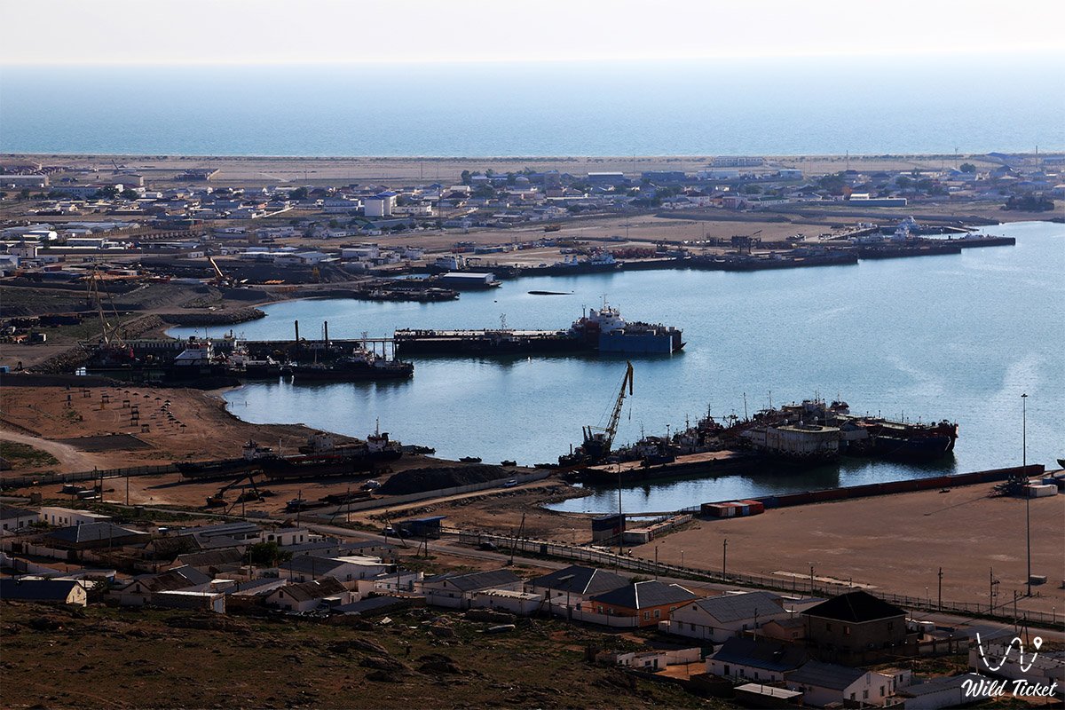
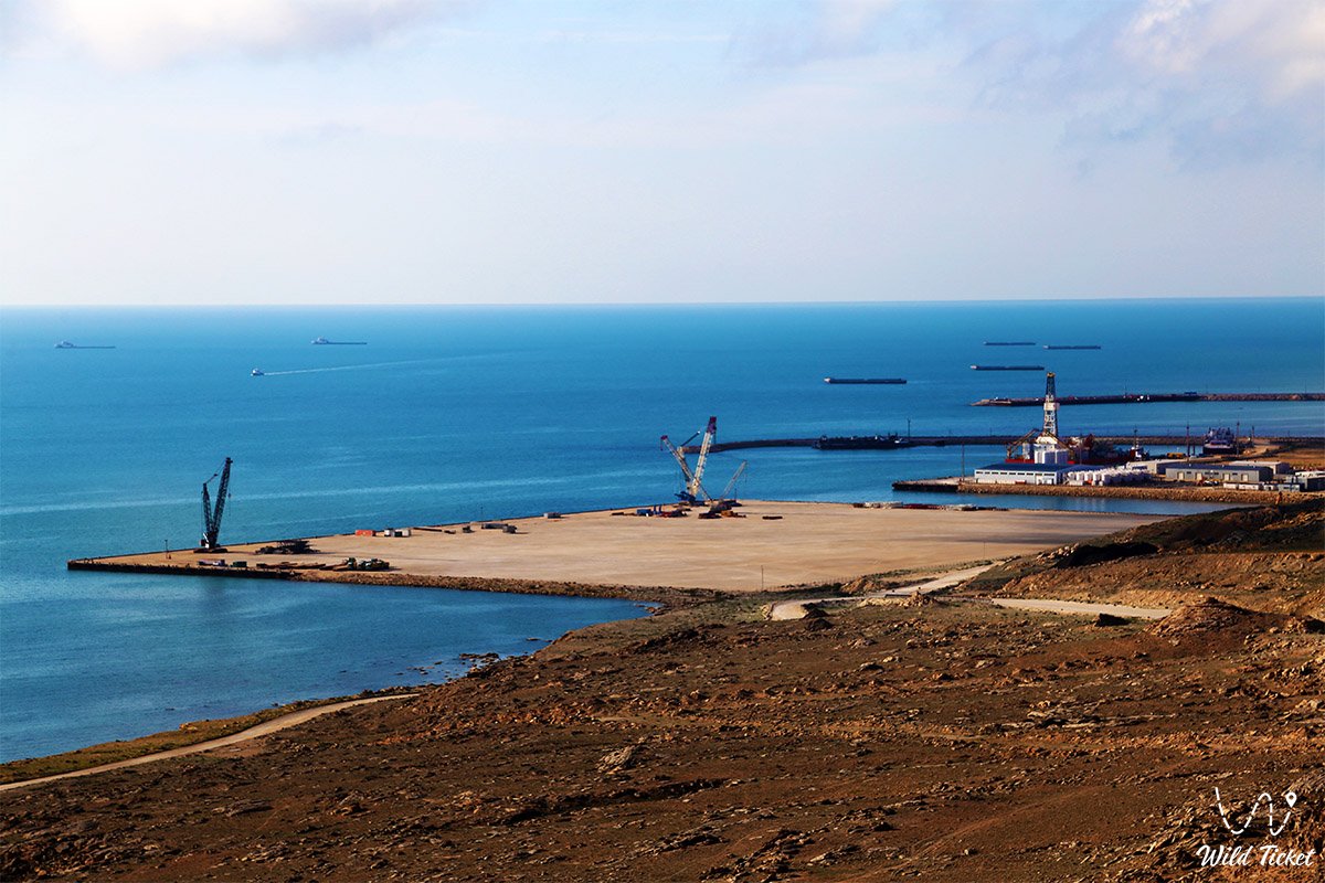
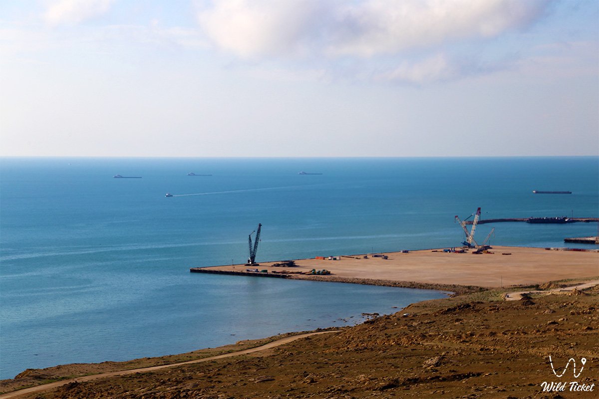
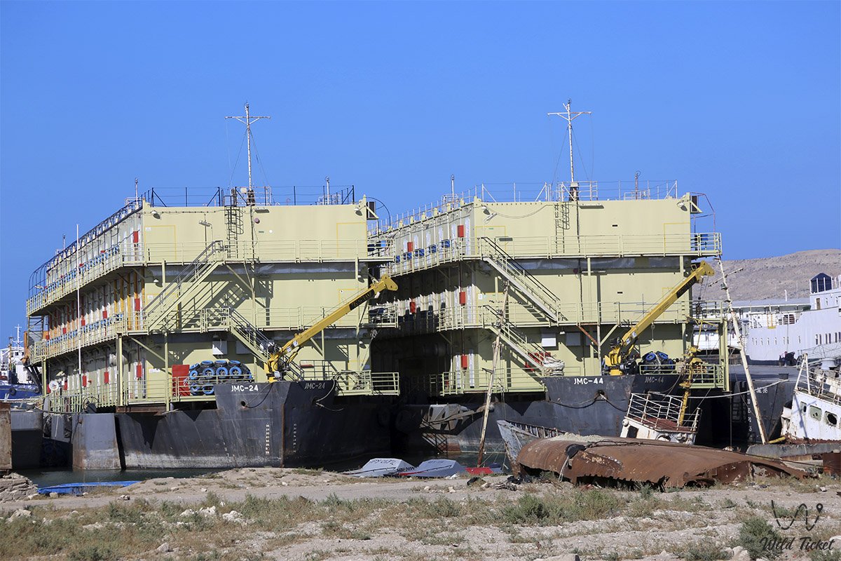
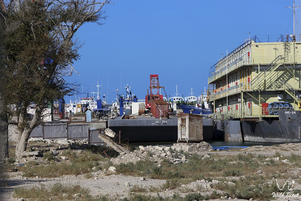
During the Soviet era, the waters of the bay became a base for the fishing fleet and the Bautino fish cannery. At the beginning of the 21st century, the bay acquired a strategic status as a center of offshore logistics: the infrastructure of the North Caspian Operating Company consortium was deployed at the base of Bautino for year-round supply of artificial islands and drilling rigs at the Kashagan field.
Information
Geomorphologically, Tyub-Karagan Bay represents a semi-enclosed erosional-accumulative marine basin incised into Neogene strata of Sarmatian limestones. From the east, a chain of desolate limestone hills rises above the water area, whereas the southern and western coastlines are composed of gentle sandy deposits and coquina shell rock. The Tyubkaragan Spit extends from the mainland of the peninsula in a northwesterly direction for more than 2.5 miles, forming a powerful natural breakwater.
Dimensions of the water area: the length is about 12 kilometers, the width in the northern entrance section reaches 9 kilometers, in the center – about 4.7–5 kilometers, and in the southern section – up to 1.5 kilometers. Depths in the harbor vary from 3 to 9 sazhens (roughly 6 to 18 meters on the outer roadstead), decreasing to 3–5 meters in the berthing zone of Bautino Bay. The water area is not subject to oceanic tides; however, wind-driven storm surges and ebb fluctuations are pronounced.
The climate of the bay area is arid and maritime moderately continental. The water mass of the Caspian Sea significantly tempers temperature fluctuations: winter here is noticeably milder than on the interior plateaus of Ustyurt, and summer heat is reduced by breeze circulation. Annual precipitation does not exceed 140–160 mm.
The ecological regime of the bay is under regular oversight by environmental protection services and offshore industrial operators, who ensure water purity monitoring and the conservation of bioresources.
Detailed description of the venue
The landscape and hydrographic ensemble of Tyub-Karagan Bay comprises a series of interconnected natural and man-made zones:
• Waters of Tyub-Karagan Bay – a 12-kilometer-long deep-water marine basin with a calm hydrological regime, serving as a roadstead for commercial and utility fleets.
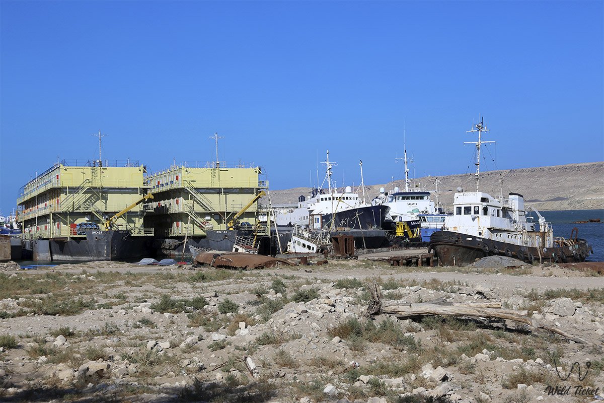
• Bautino Bay – a sheltered inner cove at the head of the bay housing the seaport of Bautino, ship repair workshops, and fleet supply bases.
• Tyubkaragan Sand Spit – a sand-and-shell ridge protruding 2.5 miles into the sea, acting as a breakwater and a popular observation point.
• Village of Atash – a coastal settlement on the shore of Bautino Bay, historically tied to port and fishing activities.
• Mountainous eastern shore – a chain of limestone hills upon which the historic fortifications of Fort-Shevchenko stand.
• Low-lying sandy coastline – gentle shoreline stretches featuring relict salt lakes described by Zaleski and Shevchenko.
• Site of the 1919 Tyub-Karagan naval battle – the historic maritime battleground of Civil War warships.
• Offshore marine support base – modern piers, general cargo storage facilities, and oil spill response bases of the Kashagan project.
Flora and fauna
The vegetation cover of the bay shores is adapted to an arid climate and saline soils. Caspian saltwort, gray-soil and Lerche's wormwood, biyurgun, Gmelin's sea lavender, and camelthorn (dzhantak) bushes grow on sandy terraces and hills. Thickets of steppe caragana and tamarisk (saltcedar) occur in the ravines of the eastern hills.
The animal kingdom of the bay is closely tied to the ecosystem of the Caspian Sea. Historically, the coast was renowned for hunting the Caspian seal: these marine mammals still regularly enter the waters of the bay and haul out on the shallows of the Tyubkaragan Spit.
The ichthyofauna of the bay is represented by valuable fish species: sturgeon species (beluga, Russian sturgeon, stellate sturgeon) live here, as well as pike perch, carp, Caspian roach, mullet, bream, and Caspian shad.
The avifauna of the water area is distinguished by high diversity, as the bay lies along a global bird migration flyway. Colonies of Caspian gulls, Pallas's gulls, great cormorants, waders, grey herons, and pelicans congregate on the water mirror and coastal spits. During seasonal migration periods, the bay becomes a rest stop for flocks of mute swans and whooper swans.
Legend
An ancient Kazakh legend about the "Cove of Salvation and the Silver Fog" is associated with the calm waters of Tyub-Karagan Bay. It is told that in distant times, a wealthy merchant caravan of vessels was transporting precious silks, weapons, and silver from Persia to steppe ports. In the open sea, an unprecedented autumn tempest broke out, threatening to smash the ships against the formidable cliffs of Tyub-Karagan.
The helmsman of the flagship offered a sincere prayer to the holy elder Khidr – the eternal patron of wanderers on land and water. At that very moment, a thick silvery mist descended over the roaring abyss, as if woven from moonlight. An invisible force gently guided the battered ships behind the sand spit into an entirely calm, mirror-like cove where the waves lapped gently against the sandy shore. The rescued mariners stepped ashore, gave thanks to heaven, and named this cove a blessed harbor, bequeathing to their descendants that they would always find protection here from the fury of the elements.
Conclusion
Tyub-Karagan Bay is the heart of Mangyshlak's maritime soul, uniting ancient caravan routes "from Khiva to the Rus," fortification heritage, memories of the 1919 naval battle, and the rhythm of the modern Caspian industrial fleet.
A visit to the shores of the bay allows travelers to experience the romance of seafaring, see ships on the roadstead, touch upon pages from Taras Shevchenko's biography, and enjoy the tranquility of a warm sea harbor beneath the boundless steppe sky.
Interesting sights nearby:
• Ketikkala Settlement (14th century);
• Kenty-Baba Necropolis and Underground Mosque;
• Ancient Koshkar-Ata Necropolis;
• Saura Gorge;
• Tamshaly Oasis and Canyon with Weeping Cliffs and Waterfall;
• Sultan-Epe Underground Mosque and Necropolis;
• Shakpak-Ata Underground Mosque (10th–13th centuries);
• Zhygylgan Sinkhole ("Fallen Land" with traces of prehistoric animals);
• Cape Bagarzhik;
• Cape Tyubkaragan and Upper Tyubkaragan Lighthouse;
• Ustyurt Plateau;
• Karagiye-Karakol State Nature Sanctuary;
• Karagiye Depression.
Photogallery: