Shallow warm coves and historic maritime haven at the base of chalk plateaus –
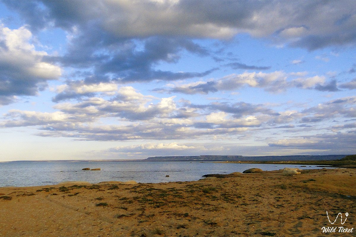
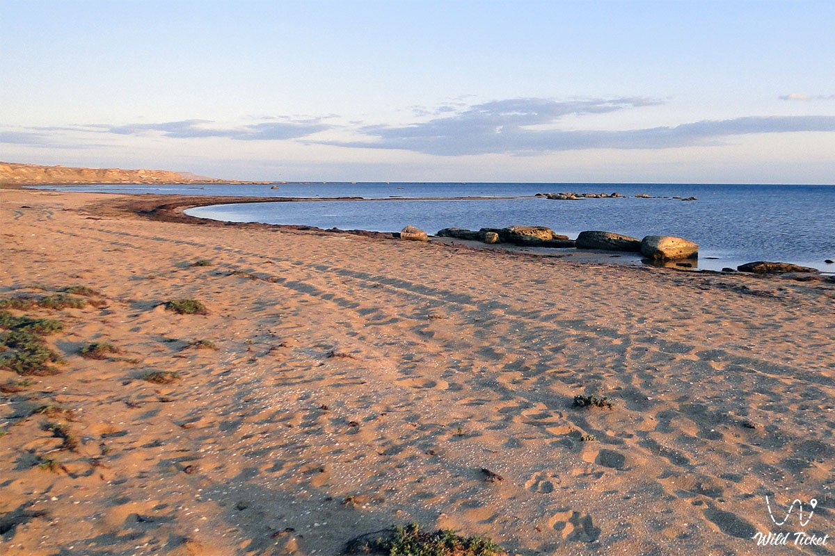
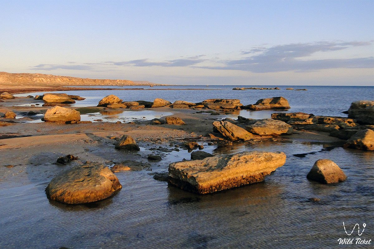
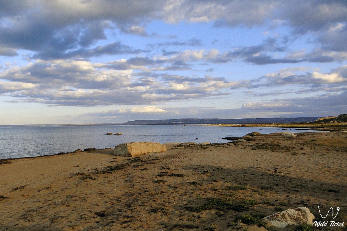
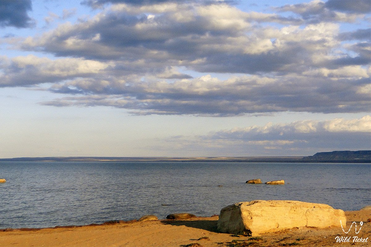
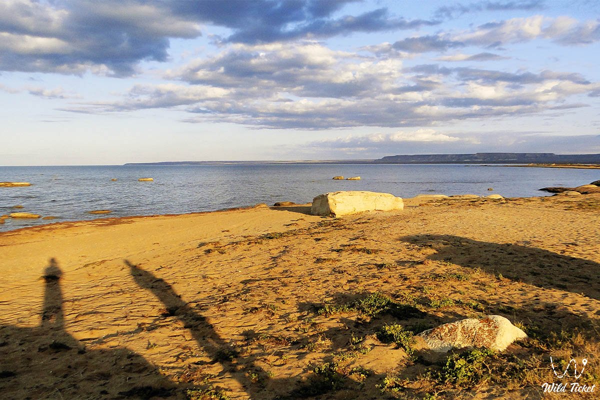
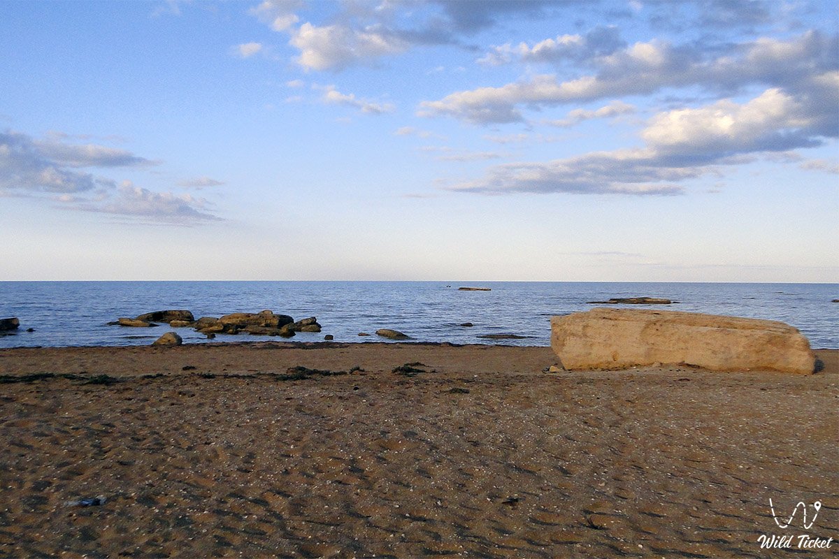
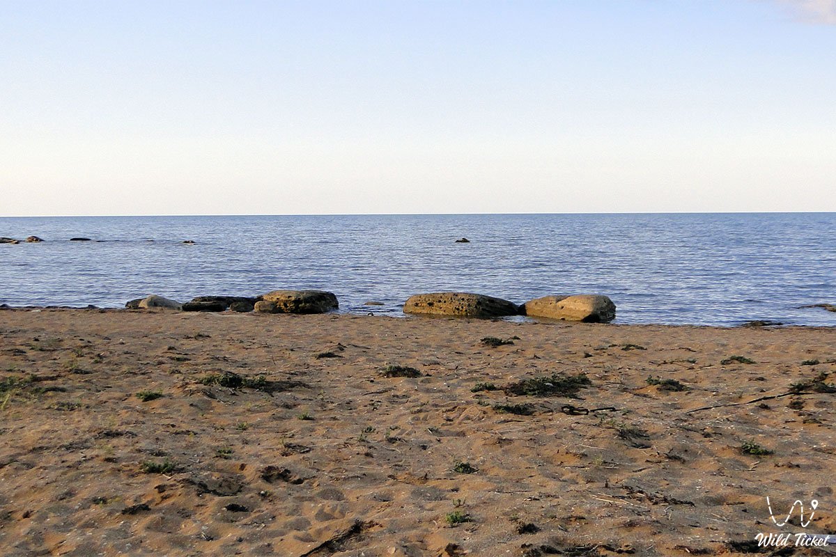
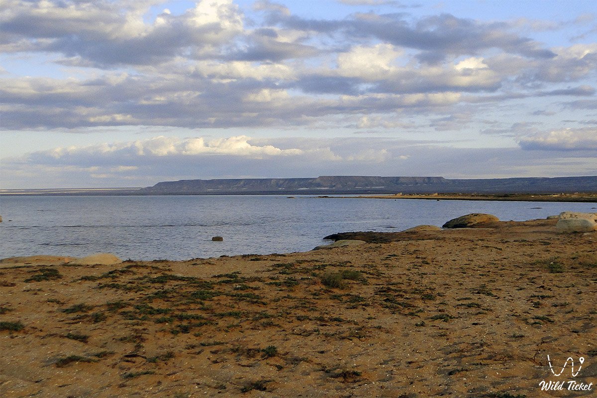
Sarytash Bay (Kaz. Sarytas shyghanaghy, also rendered as Sarytas, Sartas) represents a vast shallow sea bay featuring gently sloping sand-and-shell shores in the west of Kazakhstan. This calm coastal basin cuts deeply into the dry land on the northeastern coastline of the Tupkaragan district, forming a sheltered natural water area amidst the open Caspian expanses. On the shore of the bay stands the "Sartas" visitor center, which features guest yurts for overnight stays and a cafe.
This entire scenic littoral area serves as a primary hydrographic and recreational landmark of the Mangystau region, attracting travelers with wide wild beaches, crystal-clear seawater, and rich fishing shallows. Directly to the east and north stretch boundless expanses where the rugged Caspian Sea rolls its waves, merging along the horizon with the waters of the vast Mangyshlak Bay and Kaydak Bay (Kochak).
In the expedition and tourism logistics of the Northern Caspian basin, Sarytash Bay serves as a key terminus for popular off-road routes across the Tupkaragan Peninsula. Approximately 135–145 kilometers to the southeast along motor roads lies the regional center Aktau, from where travel convoys proceed through the suburban settlement of Akshukur toward the hub village of Tauchik.
Literally a few kilometers south of the shoreline begin monumental erosional fractures: the nine-kilometer Shakpaktysay Canyon with the UNESCO-listed underground Shakpak-Ata mosque and ancient necropolis, the snow-white Kapamsay Canyon (Kapam) with its relict grove inside a cavernous grotto, the Kokbulaksay chalk canyon, as well as the grandiose geological Zhygylgan sinkhole, the spring-fed Tamshaly gorge with weeping cliffs, the freshwater lake of Saura Canyon, and rocky Cape Tyub-Karagan.
The geological basement of the coast is formed of horizontal strata of Neogene and Paleogene coquina limestones, marls, and clays left behind by the retreating ancient Tethys Ocean and smoothed by surf during Quaternary transgressions of the Caspian. From Sarytash, well-worn steppe ruts head east and southeast: toward the sacred height of Mount Otpan-Tau with the Aday-Ata complex, the mystical stone concretions of the Torysh Valley, the solitary residual Mount Sherkala, the colorful Jurassic clays of the Kokala tract, and the narrow slate defile of Karadayirmen Gorge.
The primary natural feature of the bay is its gentle hydrological regime: the shallow basin with a sandy bottom warms rapidly under the sun, providing ideal conditions for nomadic and fishing encampments as well as seasonal staging of migratory birds, including greater flamingos and mute swans.
Following an overnight stay along the golden sands of Sarytash, off-road expeditions steer southeast toward the chalk chinks of the Bozzhira tract, the Tuzbair salt flat, Mount Bokty, the Karynzharyk depression, and the strictly protected lands of the Ustyurt Reserve. One can also head north to the Buzachi Peninsula and the Aktau-Buzachi Nature Sanctuary.
For road-trippers and travelers, Sarytash Bay serves as an ideal seaside refuge: visitors journey here for warm marine lagoons, overnight stays in authentic yurts or beach tents under sunset skies, rewarding coastal angling for mullet and carp, and the opportunity to observe flocks of flamingos and swans feeding along untouched shell spits. Today, Sarytash Bay is recognized as a magnificent corner of primeval coastal nature in Mangystau, drawing overland drivers, fishermen, tent campers, and wildlife photographers with serene waters and sweeping marine horizons.
1-day excursion to Kapamsay Canyon and Sarytash Bay from Aktau.
--------------------------------------------
How to get there and visit –
Sarytash (Sartas) Bay is situated in the northeastern sector of the Tupkaragan Peninsula, along the northern scarp of the Tupkaragan Plateau, within the borders of the Tupkaragan district. The bay borders the land north of the mouth of Shakpaktysay Canyon and Mount Ungoza. The distance from the city of Aktau is around 135–145 km, from the town of Fort-Shevchenko – roughly 80–85 km, and from Tauchik village – about 30–35 km.
GPS geographical coordinates of Sarytash Bay:
44°30'14"N 51°08'15"E
GPS coordinates of the Sartas visitor center:
44°28'19"N 51°06'51"E
GPS coordinates of the Shakpak-Ata mosque:
44°26'00"N 51°08'20"E
The driving route from the city of Aktau leads north along a paved highway of republican significance via the suburban settlement of Akshukur to the large village of Tauchik (about 95–100 km of solid asphalt). From Tauchik, the route branches northwest along a packed gravel and steppe dirt road toward the Shakpak-Ata complex (about 30 km), continuing north down a gentle descent through the gorge or around the plateau directly to the sandy beach strip of Sarytash Bay (an additional 10–12 km). Total driving time from Aktau takes roughly 2.5–3 hours.
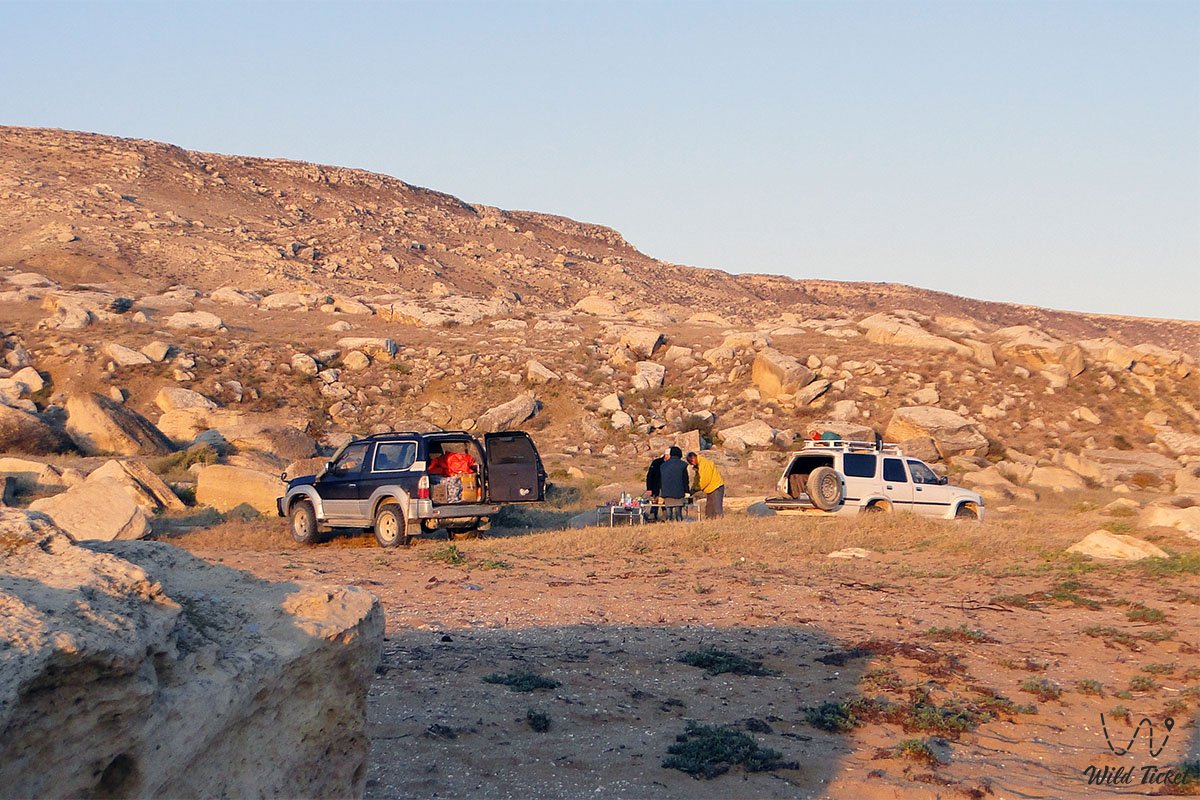
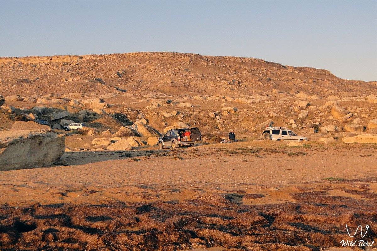
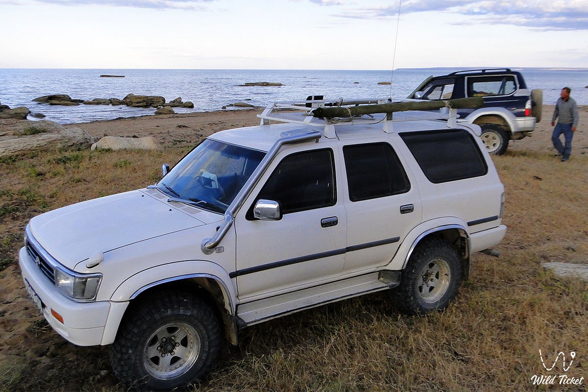
Access roads and terrain capability: in dry weather, urban crossovers and standard passenger cars can manage the drive to the upper viewing rim of the plateau overlooking the bay and the Shakpak-Ata complex. However, descending directly to the waterline, driving across loose coastal sand, and crossing saline depressions and rocky alluvial fans strictly requires a four-wheel-drive vehicle (4x4) with high ground clearance.
During occasional rainfall or strong storm surges, coastal clays and sors immediately turn into deep, sticky mire. Do not park close to the surf line to prevent tires from being buried by wash.
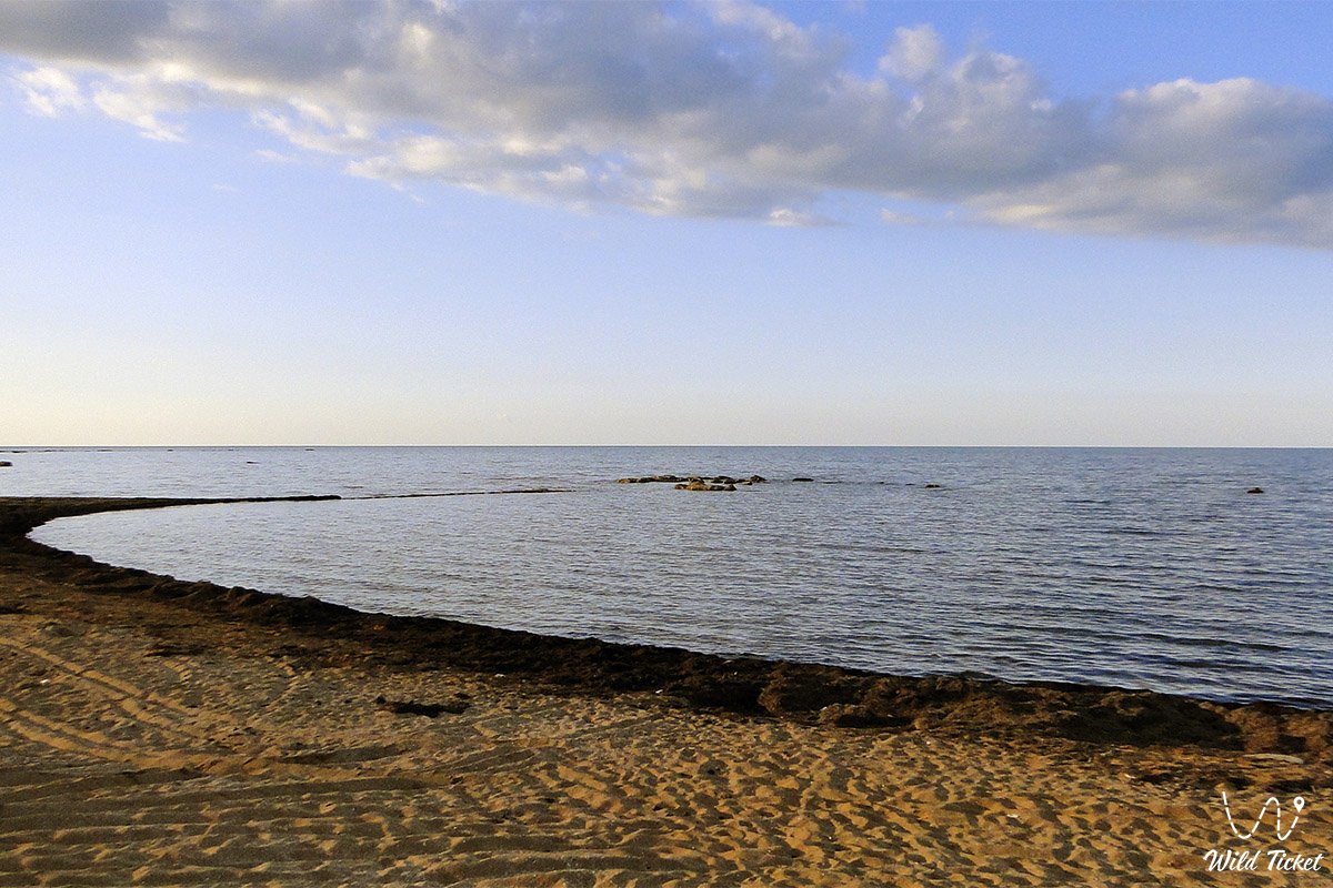
Walking and beach recreation: the bay shore consists of gently sloping sand-and-shell spits ideal for swimming and hiking. The water entrance is shallow and sandy, offering safe conditions for children. For walks along stony bars and rocky ledges, protective aqua shoes or trekking sandals are advised due to slippery algae and sharp shells.
Ecological safety rules: the coast of Sarytash Bay is a sensitive habitat for littoral Caspian wildlife.
Within the coastal zone, the following are STRICTLY PROHIBITED:
– Washing cars or motorbikes in the waters of the bay;
– Driving wheeled vehicles onto sand dunes and salt-marsh flats;
– Lighting open campfires outside portable braziers on sandy ground (portable gas stoves only);
– Leaving plastic litter, discarded fishing nets, hooks, and food cans;
– Disturbing bird nesting grounds among coastal reeds and shrub thickets;
– Discharging domestic waste or using chemical detergents near the water's edge.
Infrastructure: the shores of the bay remain an untouched wilderness. Permanent hotels are absent, but the Sartas visitor center operates on site, offering a cafe and guest yurts for rest and overnight accommodation. The nearest brand-name gas stations, supermarkets, pharmacies, and tire repair workshops are in Tauchik (30–35 km) or in Fort-Shevchenko.
For tent camping, travelers must ensure complete self-sufficiency: drinking water (at least 5 liters per person per day), spare fuel in jerrycans, wind-resistant tents (coastal gales are common), shade tarps, and insect repellent. Cellular reception at the waterline is weak or absent, though a steady mobile signal can be found on the upper plateau above the bay.
The best season to visit covers the summer months and the mild shoulder seasons. For swimming and beach holidays, July and August are optimal, when shallow waters warm to a pleasant +24...+27 °C and marine breezes ease the heat.
For landscape photography, birdwatching, and angling, late spring (May – early June) and early autumn (September – October) are exceptional, offering dry, mild weather without midday heat while shores host staging flocks of migratory birds.
--------------------------------------------
History
The history of Sarytash Bay is tied to ancient maritime voyages across the Caspian, caravan trade along the Great Silk Road, and the fishing livelihoods of nomadic clans on Mangyshlak.
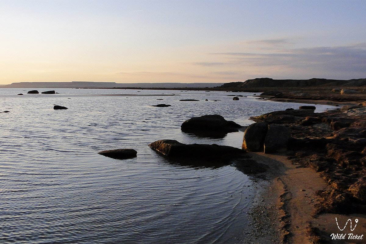
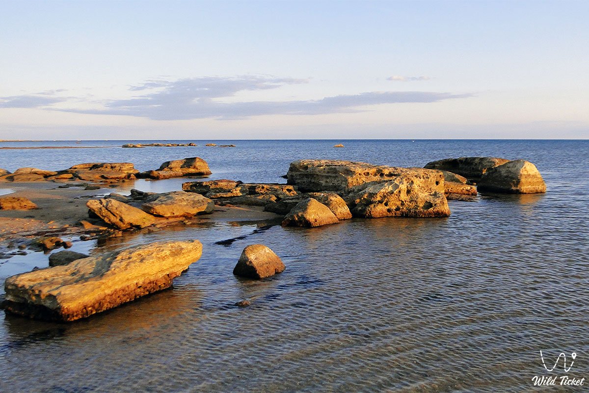
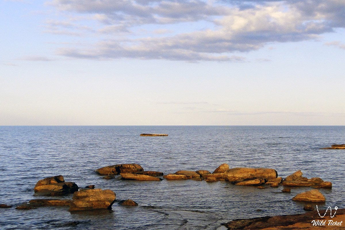
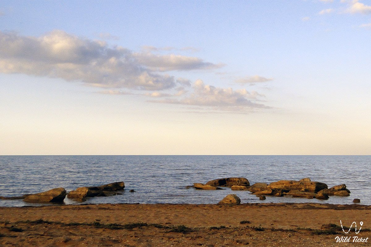
The name of the bay translates from Kazakh as "Yellow Stone" ("sary" – yellow, "tas" – stone). The toponym reflects the coloration of coastal rocky outcrops and bluffs of Sarmatian limestone, which take on a vivid golden-yellow glow under the setting sun.
Since antiquity, the waters of Sarytash Bay, naturally sheltered from prevailing winds, served as a safe anchorage and coastal gateway for vessels sailing the eastern Caspian. Archaeological excavations around the bay have documented encampments from the Neolithic and Bronze ages. In the Middle Ages, a northern maritime branch of the Silk Road touched the coast here: merchants brought goods from the mouth of the Volga, Persia, and Transcaucasia, reloading cargo onto camel caravans to journey into the continent through Shakpaktysay and Kapamsay toward Ustyurt and Khwarazm.
During the 18th and 19th centuries, the bay was actively worked by Aday fishermen and Turkmen seafarers. Flat sandy spits provided convenient slipways for hauling boats ashore. Sturgeon, mullet, pike-perch, and Caspian herring were taken here in abundance. Seasonal fishing camps and ice houses for salting and storing catch were built along the shore.
On the northern reach of the coast, near the seaward approach, stands the memorial complex of Yerzhan Khazret – a respected regional spiritual leader and scholar.
During the Soviet period, collective fishing operations utilized the bay, while the surrounding plains supported pastoral sheep grazing. Today, Sarytash remains an appealing campsite for self-drive expeditions seeking quiet and untouched coastal landscapes.
Information
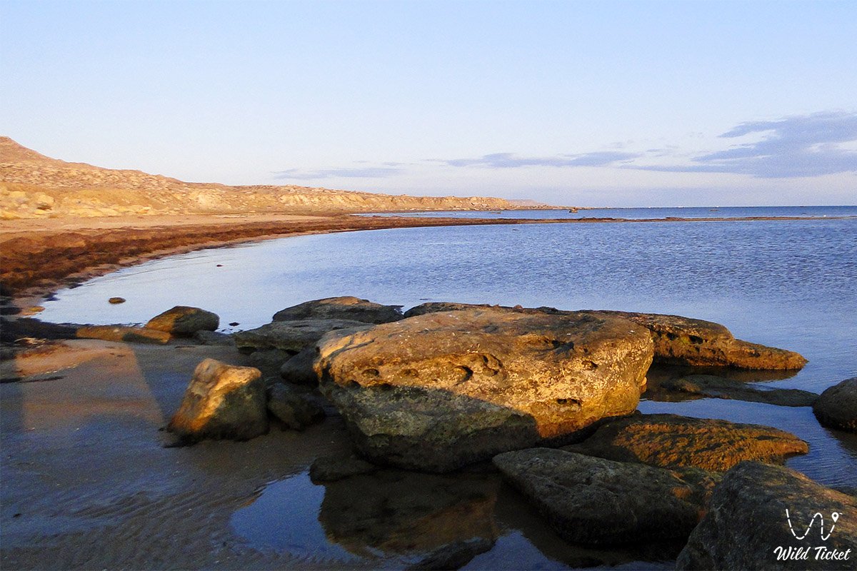
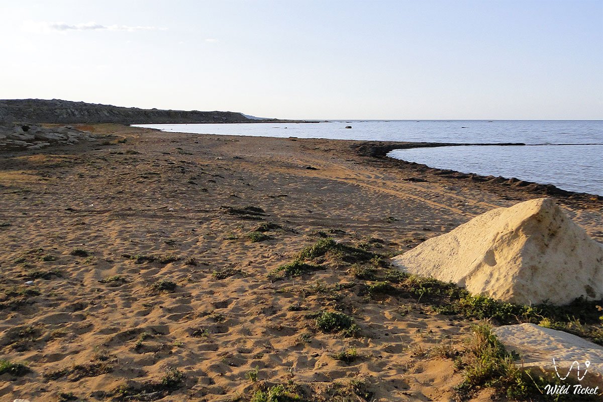
Morphometrically, Sarytash Bay is a semi-enclosed, shallow marine lagoon curving smoothly into the northeastern coastline of the Tupkaragan Peninsula. The shoreline arc measures over 15–18 kilometers, with an entrance mouth width of about 8–10 kilometers. The coast alternates between gently shelving sand-and-shell spits, silty shoals, and low clay-limestone terrace cliffs.
The geological structure of the coast is formed of Paleogene and Neogene sedimentary strata from the Tethys Ocean. Shoreline bluffs and headlands consist of horizontal beds of yellowish-brown coquina, oolitic limestones, marls, and clays. The floor of the bay is composed of Quaternary marine sediments: quartz sands, pulverized shell detritus, and silty clays.
The hydrological regime of the bay is strongly shaped by wind-driven surges and retreats. Due to shallow depths (averaging between 1.0 and 3.5 meters), strong northerly and westerly winds can push sea water inland, flooding sandy bars for hundreds of meters. During calm weather, the water is transparent with an emerald-turquoise hue. Summer water temperatures reach +26...+28 °C, while in winter thin fast ice forms along the coastal margin. Water salinity matches the Caspian average at 11–13 parts per thousand.
Soil cover along the shore comprises hydromorphic littoral sor solonchaks, silted sand deposits, and patches of gray-brown desert soils on elevated plateaus.
The climate is temperate desert with strong maritime moderation. Summers are dry and hot, with average July temperatures of +27...+30 °C (daytime peaks under direct sun exceed +38 °C), though constant sea breezes make coastal conditions comfortable. Winters are mild yet breezy, with average January temperatures of -3...-6 °C. Annual precipitation is sparse, not exceeding 130–140 mm.
Detailed description of the venue
The natural and aquatic complex of Sarytash Bay encompasses the following geographic features, zones, and viewing sites:
• Sand-and-shell beach spits – broad, flat coastal strips of white and golden quartz sand strewn with seashells, well suited for camping and swimming.
• Shallow warm lagoons – sheltered waters with a soft sandy bed and clear water, shelving gradually and safely.
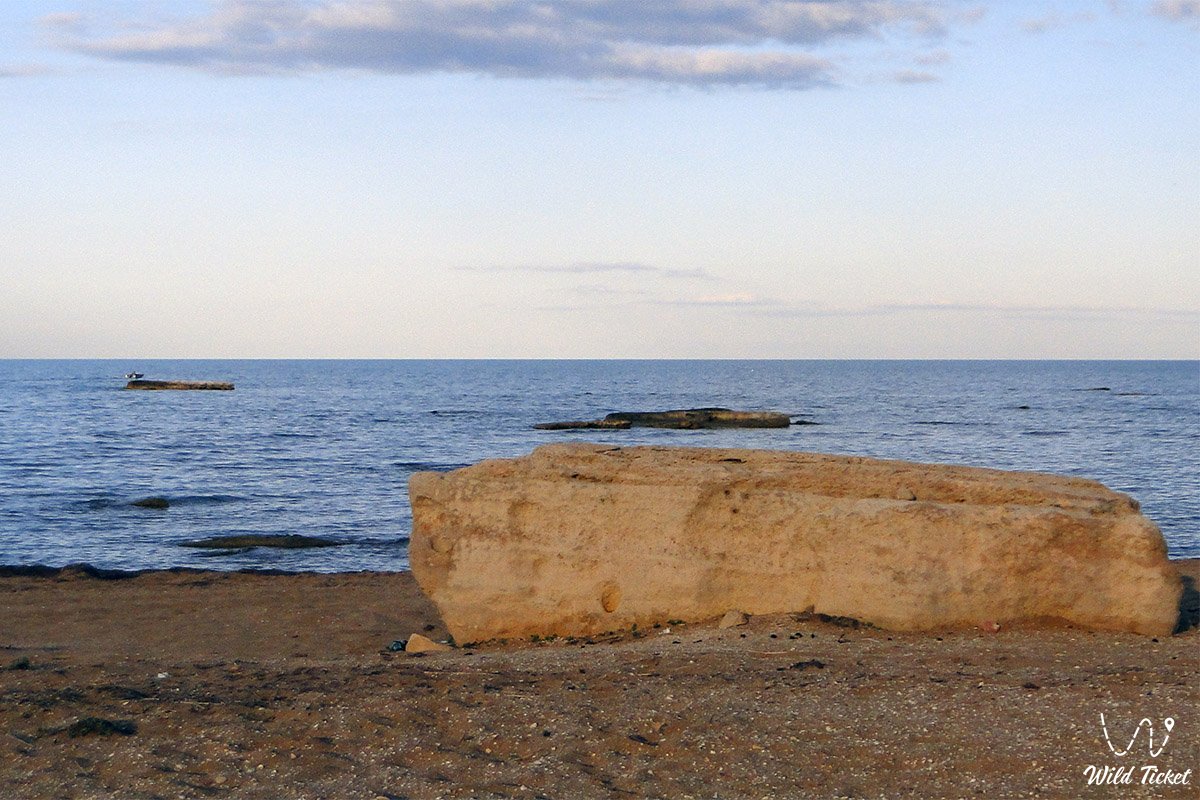
• Yellow limestone capes and terraces – low coastal cliffs of Sarmatian coquina displaying a warm ochre-gold tone that gave the bay its historical name.
• Mouth zone of Shakpaktysay Canyon – the exit where the dry wash of the nine-kilometer canyon reaches the sea, spreading a broad alluvial fan across the coastal salt flats.
• Littoral salt marshes and mudflats – periodically inundated low-lying sectors that provide feeding grounds for hundreds of waterbird species.
• Yerzhan Khazret memorial and mosque – a sacred heritage site honoring the regional scholar, set upon an elevated plain near the bay shore.
• Panoramic plateau terraces above the bay – elevated vantage points on the edge of the limestone chink, opening onto 360-degree views across turquoise waters and distant headlands.
Flora and fauna
Vegetation along the shores of Sarytash Bay consists of psammophytic and halophytic communities adapted to saline sands and sea spray. Thickets of tamarisk (saltcedar), common reed, European glasswort, and Halocnemum strobilaceum grow along the waterline and dry wash mouths. Sand dunes behind the beaches host camelthorn (dzhantak), gray-soil wormwood, boyalych, giant wildrye (Leymus racemosus), and Calligonum (dzhuzgun). In spring, ephemeral plants and wild steppe tulips briefly carpet the plains.
Fauna in the bay is diverse. Caspian fish species thrive in the shallows: common carp, mullet (singil), pike-perch, Caspian roach, rudd, bream, and several goby species. Along remote sandy spits and isolated stone shoals, Caspian seals can occasionally be spotted hauled out to rest.
Avifauna is plentiful, making Sarytash an attractive destination for birdwatching. The shallow bay serves as a major staging post along continental migration routes. Greater flamingos, Dalmatian and great white pelicans, mute swans, whooper swans, grey and white herons, Eurasian spoonbills, pied avocets, and Caspian gulls feed across the shallows. Ruddy shelducks, common shelducks, and teals inhabit the shoreline, while white-tailed eagles and ospreys hunt overhead.
Terrestrial mammals sheltering in coastal brush include corsac foxes, badgers, steppe polecats, long-eared hedgehogs, and tolai hares. In the early morning, groups of Ustyurt mountain sheep (mouflons) occasionally wander down the plateau scarps.
Herpetofauna is represented by the rapid fringe-toed lizard, sand boa, dione snake, and dice snake in the shallows.
Legend
An ancient Kazakh legend tells of the Golden Stone and the Sea Maiden in connection with Sarytash Bay.
Tradition recounts that in centuries past, when merchant galleys sailed the Caspian, a young and fearless fisherman named Batyrkhan lived on the shores of the bay. He took his boat out in any weather, sharing his catch with the elderly and widows of his aul.
One evening at sunset, as coastal cliffs glowed brilliant gold, Batyrkhan saw a maiden with sea-wave hair amid the surf. She was the sovereign of the Caspian depths. The maiden came to love the youth for his generosity and pure heart. Each night she stepped onto the sandspit, guiding shoals of silver fish into his nets and warning him of approaching storms.
News of the successful fisherman reached a covetous khan, who resolved to capture the sea maiden and seize the treasures of the seabed. At night, the khan's guards surrounded the shore and unleashed a volley of arrows. Shielding his beloved, Batyrkhan threw himself before her and fell upon the coastal rocks.
The sea maiden wept bitterly over the youth. As her tears touched the shoreline rocks, the gray stone absorbed the glow of the sunset forever, turning into radiant golden limestone. The maiden retreated into the sea depths, leaving behind a tranquil bay. Ever since, Kazakhs have called this place Sarytash – Golden Stone, believing its waters safeguard peace and faithfulness, and that anyone bathing in its waters at sunset will find harmony and lasting love.
Conclusion
Sarytash Bay is a captivating maritime oasis and a treasure of the Tupkaragan coast, where golden sandy spits coexist with monumental chalk scarps, gentle surf, and flocks of wild birds. A journey to Sarytash offers the pleasures of primeval Caspian nature, serene beach relaxation by the waves, and memorable sunsets over the sea horizons of Mangystau.
Interesting sights nearby:
• Koshak Bay (Kochak);
• Shakpaktysay (Shakpak-Ata) Canyon;
• Shakpak-Ata Mosque (UNESCO Site);
• Shakpak-Ata Necropolis;
• Kapamsay Canyon;
• Zhygylgan Geological Sinkhole with fossilized tracks;
• Tamshaly Canyon;
• Saura Canyon and Lake Karakup;
• Rocky Cape Tyub-Karagan;
• Bautino Seaport Village;
• Fort-Shevchenko Town-Museum;
• Torysh Valley of Spherical Concretions;
• Kokbulaksay Canyon;
• Mount Ungoza (199.2 m);
• Zholbart Artesian Well.
Pilgrimage sites across Mangystau:
• Beket-Ata Underground Mosque;
• Karaman-Ata Underground Mosque;
• Sultan-Epe Underground Mosque;
• Kolbas Ishan Mosque;
• Koben Mosque;
• Zholaskan Mosque;
• Zhaman Sauran Mosque;
• Ishan Khozha Mosque;
• Itolla Mosque;
• Sonabay Underground Mosque;
• Masat Ata Mosque;
• Uytoly-Ata Underground Mosque;
• Bayte Sanctuary.
Photogallery: