Salt-marsh landscapes and the gateway to the great monuments of Tupkaragan –
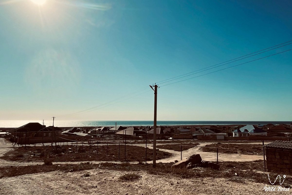
Akshukur Village (Kaz. Aqshuqyr) represents one of the most historically significant, rapidly developing, and picturesque settlements in western Republic of Kazakhstan. This coastal village is situated within the territory of the Tupkaragan district, just a few kilometers northwest of the regional capital city of Aktau, along the scenic shore of the Caspian Sea.
The territory of Akshukur and its environs seamlessly brings together the open reaches of shallow Caspian coastal waters, salt flat tracts, and the undulating relief of the Tupkaragan Peninsula, serving as an important regional hub. For miles around stretch the steppe and seaside vistas of the Mangystau region, where gentle maritime breezes meet the dry climate of the semi-desert.
Across the expeditionary and travel routes of the Tupkaragan Peninsula, Akshukur occupies the role of a northern suburban outpost and a practical starting base for long-distance journeys. Roughly 15–20 kilometers to the south along paved highways lies the city of Aktau, from where researchers and overland travelers begin their routes deeper into the peninsula. Directly by the eastern perimeter of the village lies the basin of Lake Koshkar-Ata with its distinctive ecosystem and boundary salt flats, while just south of the regional center sits scenic Lake Karakol, whose open waters and reed beds provide resting grounds for colonies of greater flamingos.
Within a short overland drive from the village open the celebrated Tamshaly Canyon with weeping cliffs, the dramatic geological Zhygylgan sinkhole, the precipitous Cape Tyub-Karagan, as well as the historic port town of Fort-Shevchenko and the bay and settlement of Bautino.
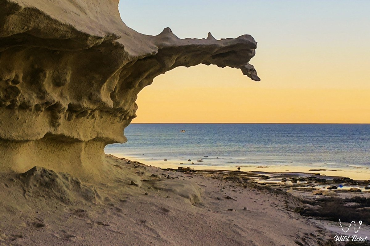
The geological basement of the littoral zone is composed of thick sedimentary strata of Neogene and Quaternary deposits, laid down upon the floor of the ancient vanished Tethys Ocean and represented by coquina limestones, clays, and marine sand accumulations.
Akshukur serves as a practical jumping-off point for radial itineraries across the peninsula: northward toward the cliffs of Tupkaragan and onward northeast to the waters of Kaydak Bay; eastward toward the sacred summit of Otpan-Tau, the mysterious spherical concretions of the Torysh Valley, and residual Mount Sherkala. Southern highways carry travelers deeper into the interior—toward the vast depressions of Basgurly and Zhazgurly, the bright salt flats of Kenderli, and the chalk bastions of "Three Brothers" (Onere).
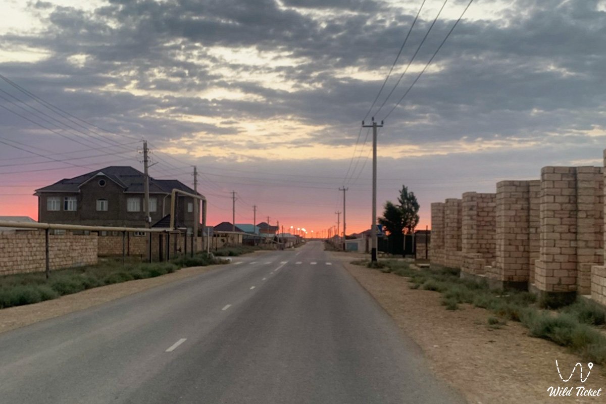
The character of Akshukur lies in its position between the coastal recreation of the Caspian Sea, a settled suburban environment, and the surrounding desert landscape. Daily life in the village blends littoral fishing traditions, quiet residential streets, private orchards, and care for the fragile salt-marsh buffer zones defending the coastline. Here, the routine of local households exists alongside the grand scale of Mangyshlak.
Following leisure stops along Akshukur's coastal tracts, long-range overland expeditions head south and east across Mangystau—toward the white escarpments of the Bozzhira tract, the reflective surface of the Tuzbair salt flat, tabular Mount Bokty, the Karynzharyk depression, and the protected lands of the Ustyurt Nature Reserve.
--------------------------------------------
How to get there and visit –
The village of Akshukur is situated on the coast of the Caspian Sea, within the Tupkaragan district of the Mangystau region, roughly 15–20 kilometers north of the city of Aktau.
GPS geographical coordinates of Akshukur village center:
43°46'56"N 51°03'44"E
Driving route from Aktau leads north along an asphalt republican highway toward the historic port of Fort-Shevchenko. Travel time from Aktau is approximately 15–20 minutes along a paved roadway suitable for any standard passenger vehicle year-round.
Major regional transport corridors branch out from Akshukur and adjacent Aktau: north along the coastal rim of Tupkaragan toward gorges and headlands; northeast toward salt pans and the shoreline of Kaydak Bay; and through the southern junctions of the regional capital toward the deep Karagiye depression, the seaport of Kuryk, and the southern depressions of Basgurly and Zhazgurly.
Access roads and vehicle recommendations: residential streets, coastal leisure areas, and village beaches are accessible in passenger sedans and urban crossovers. However, branching off onto unpaved steppe tracks, tackling shoreline gravel fields, or crossing the clay-sand sections of Tupkaragan and remote salt pans calls for a dependable four-wheel-drive vehicle (4x4) with at least 200 mm of ground clearance. During rainfall, clay and saline soils around the settlement quickly soften into slick mud.
Visiting regulations: Akshukur is an open residential village with unrestricted access for independent travel, angling, and seaside camping. No specialized permits are required. 4G mobile coverage operates across the entire village.
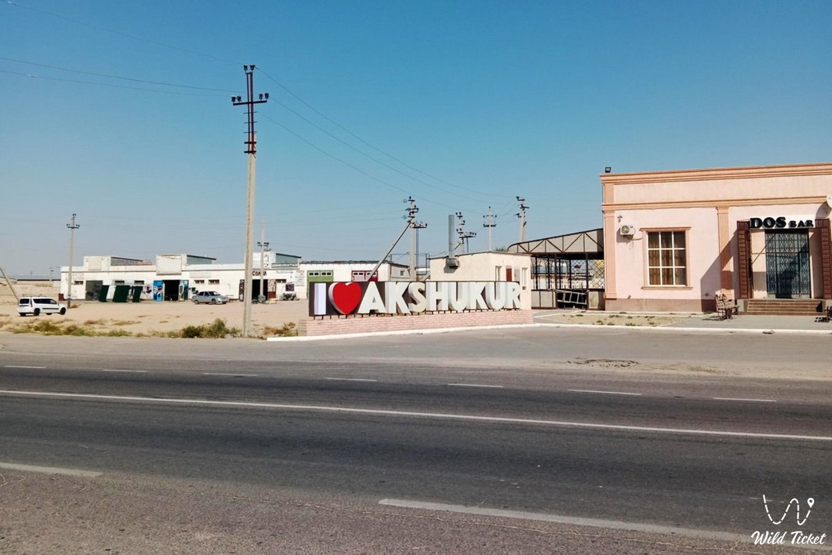
Infrastructure: the settlement features grocery supermarkets, pharmacies, secondary schools, local clinics, cafes, tire repair shops, and modern filling stations. Before setting out from Akshukur on multi-day backcountry expeditions across Tupkaragan or into the Ustyurt Plateau, travelers can replenish fresh drinking water, provisions, and vehicle fuel.
Best time to visit: from May through late September, when warm, sunny conditions dominate the coast, suitable for sea swimming, angling, and day excursions. Spring (April – May) brings pleasant weather and wild steppe tulips in bloom, while early autumn (September – October) offers comfortable temperatures for overland road trips without intense summer heat.
--------------------------------------------
History
The history of the founding and development of Akshukur reaches back into Mangyshlak's past, when these coastal shores provided natural shelter for fishermen, caravans along historical trading routes, and nomadic pastoralists.
The toponym Akshukur translates from Kazakh as "white hollow" or "white well." It describes local geological features: surface exposures of light-colored clay, limestone, and chalk beds, as well as historic subterranean freshwater wells that sustained herders, travelers, and caravans moving along the eastern Caspian coast. Over the centuries, these shores witnessed changing historical periods, trade networks, and nomadic movements.
During the Soviet era, Akshukur developed as a coastal rural locality, supporting fishing and pastoral activities that supplied fresh food to the growing industrial center of Mangyshlak—the young petroleum town of Shevchenko, today known as Aktau. Early cooperatives and fishing collectives were established here, laying the groundwork for a permanent settlement.
Following Kazakhstan's independence, Akshukur underwent significant residential, demographic, and infrastructural expansion. Benefiting from its coastal position and proximity to the regional administrative center, the village transformed into a well-appointed suburban community. Modern residential construction continues to expand, accompanied by upgraded public facilities, utilities, and coastal tourism services, preserving the historic legacy of Mangyshlak.
Information
Geomorphologically, the territory of Akshukur represents a coastal plain on the Tupkaragan Peninsula, sloping gently toward the waters of the Caspian Sea and bounded to the east by low ridgelines and salt-marsh depressions. Surface elevations across the littoral belt range from sea level to several dozen meters above sea level.
The geological base is formed of thick sedimentary sequences of Neogene and Quaternary age, composed of coquina limestones, clays, loams, and ancient Caspian sandy sediments. The surface features alluvial-marine and eolian sand deposits.
The climate is sharply continental, tempered by the adjacent waters of the Caspian Sea. Winters are relatively mild and breezy, with average January temperatures around -3 to -5 °C, occasionally accompanied by maritime gales. Summers are warm and dry, averaging +25...+28 °C in July, with midday heat moderated by steady sea breezes. Annual precipitation is low, totaling roughly 150–200 mm.
The hydrological balance reflects the coastal desert setting: permanent freshwater surface streams are absent, with local water needs supplied via groundwater wells and regional municipal pipelines linked to regional desalination plants.
Detailed description of the venue
The infrastructural and natural complex of Akshukur encompasses the following key elements:
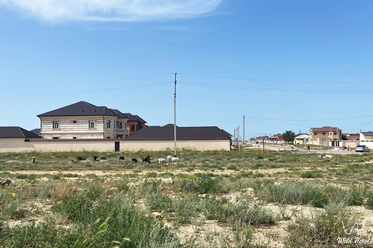
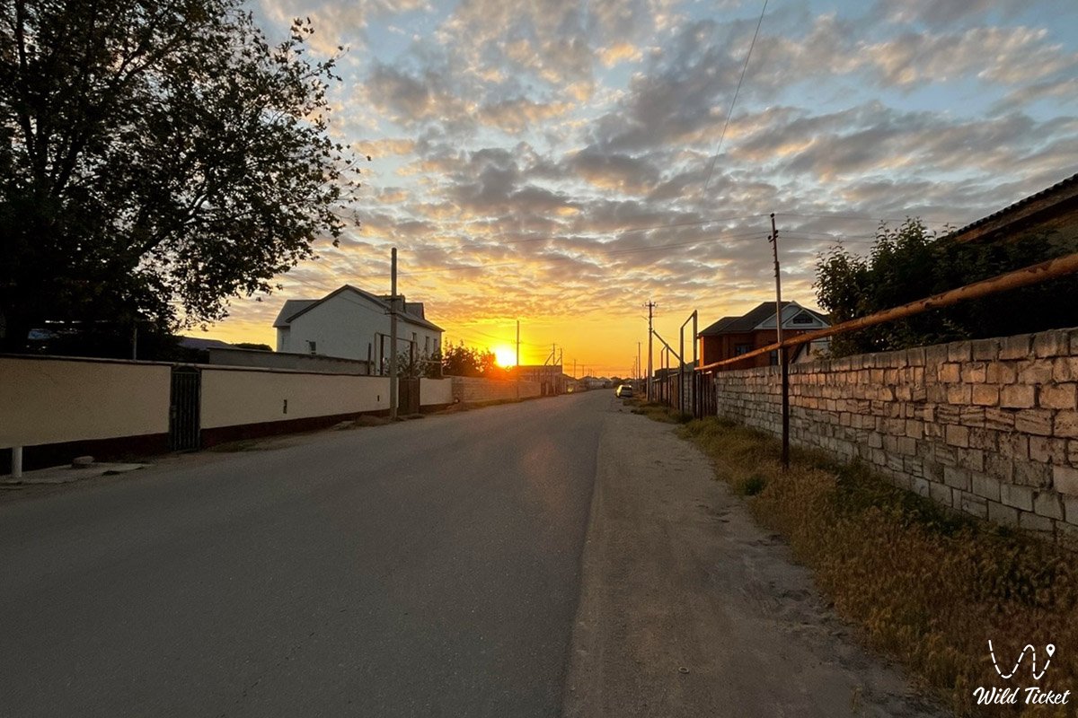
• Residential, cottage, and suburban quarters of Akshukur – planned residential developments, modernized neighborhood streets, and family homesteads of local residents.
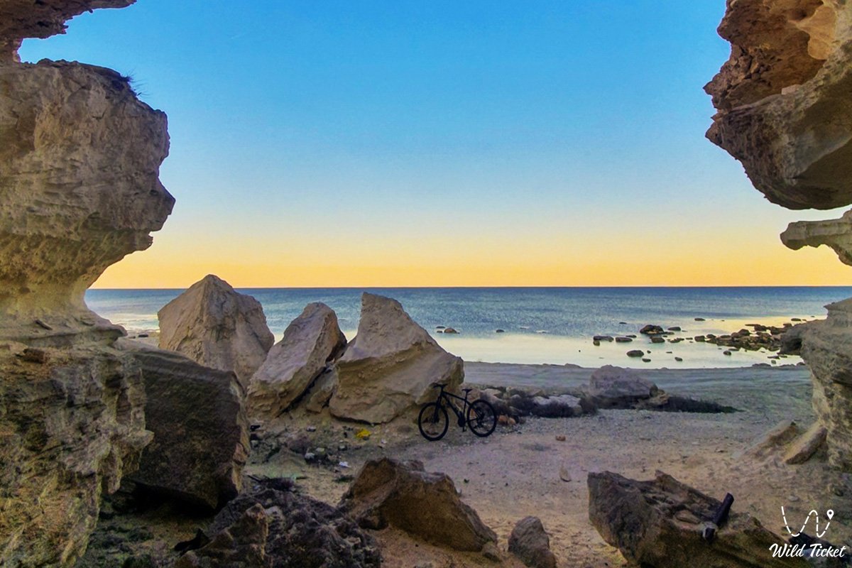
• Caspian shoreline and beaches – recreational waterfront areas, sand-and-shell spits, low capes, and accessible swimming sections along the Tupkaragan coast.
• Transport junctions and northern highways – arterial roadways linking the village with Aktau, Fort-Shevchenko, and cross-peninsula expedition routes.
• Civic and cultural infrastructure – secondary schools, medical stations, sports fields, local mosques, and community retail centers.
• Natural flora and fauna zones – coastal ecosystems and surrounding semi-desert plains supporting characteristic regional wildlife.
• Historic environs of Tupkaragan – historic caravan paths, stone wells, and ancestral burial grounds reflecting Mangyshlak's past.
• Proximity to regional lakes – the adjacent basin of Lake Koshkar-Ata and Lake Karakol south of Aktau, serving as seasonal resting sites for migratory flamingos.
Flora and fauna
The natural environment around Akshukur and the adjacent Caspian shoreline exhibits biological diversity adapted to arid desert conditions and the maritime edge.
Vegetation (flora): across the coastal plains and salt marshes, the plant cover is dominated by drought- and salt-tolerant halophytes, wormwood (Artemisia), saltworts, sea lavender (Limonium), alongside low shrubs and seasonal spring ephemerals that produce brief floral blooms. Near water margins, small stands of reed (Phragmites) and moisture-loving grasses take root.
Wildlife (fauna): the arid steppes and littoral flats support varied wildlife. Common mammals include ground squirrels, jerboas, tolai hares, corsac foxes, and wolves, alongside reptiles such as agamas, geckos, and steppe vipers.
Avifauna: coastal waters of the Caspian, adjacent wetland depressions, and nearby Lake Karakol serve as an international migration corridor for millions of transit birds. Seasonally, species such as greater flamingos, pelicans, mute swans, herons, gulls, and diving ducks make staging stops here, drawing birdwatchers and wildlife researchers.
Legend
A regional steppe legend concerning the White Well and the Caspian Wanderer is associated with the lands of Akshukur and the Tupkaragan shore.
Lore relates that in ancient times, an exhausted traveler journeying along the sun-scorched, rocky shores of the northern sea sought shelter and relief from the heat. In a white saline hollow, he uncovered a freshwater spring of cool water that quenched his thirst. Naming the spot Akshukur—the white well of plenty—he charged future travelers to care for this source and its shores.
Generations followed and trading caravans gave way to modern roads, yet Akshukur continues to draw people to its coastal setting, providing shelter and quiet along the open shores of Mangystau.
Conclusion
The coastal village of Akshukur illustrates the harmony between a traditional settlement, the Caspian shoreline, and the open relief of Tupkaragan. Maritime breezes, coastal habitats, and direct connections to Mangystau's main transit arteries make this suburban locality a distinct point where regional history, open steppes, and the Caspian waters come together.
Interesting sights nearby:
• Lake Karakol;
• Lake Koshkar-Ata;
• Caspian Sea;
• City of Aktau;
• Tupkaragan Peninsula;
• Cape Tyub-Karagan;
• Fort-Shevchenko;
• Bautino;
• Tamshaly Canyon;
• Zhygylgan Sinkhole;
• Kaydak Bay;
• Basgurly Depression;
• Zhazgurly Depression;
• Kenderli Salt Flat;
• "Three Brothers" (Onere) Mountains.
Sacred sights and pilgrimage destinations:
• Shakpak-Ata Underground Mosque;
• Shopan-Ata Underground Mosque;
• Beket-Ata Underground Mosque;
• Sisem-Ata Necropolis;
• Sultan-Epe Necropolis and Mosque;
• Kenty-Baba Necropolis;
• Khanga-Baba Necropolis;
• Koshkar-Ata Necropolis;
• Otpan-Tau Historical and Cultural Complex;
• Yerzhan Khazret Mausoleum.
Photogallery: