Hard-to-reach steppe settlement of the Senek rural district –
Akkuduk village represents a small and extremely secluded steppe settlement in the southeast of the Mangistau Region. Administratively, the settlement belongs to the Senek rural district and is located within the Karakiya district approximately 105 kilometers southeast of the city of Zhanaozen in a straight line (about 140–150 km by road).
The aul received its name – "Akkuduk" (translated as "White Well") – thanks to ancient wells lined with pale limestone. In the past, there were up to fifty such structures here, which filled with rainwater and meltwater flowing down from the elevations, sustaining the lives of nomads and camel herds in one of the driest parts of Western Kazakhstan.
Today, the village is known to travelers and researchers primarily as an important geographic landmark in the southern part of the region, situated in immediate proximity to iconic natural monuments and sanctuaries:
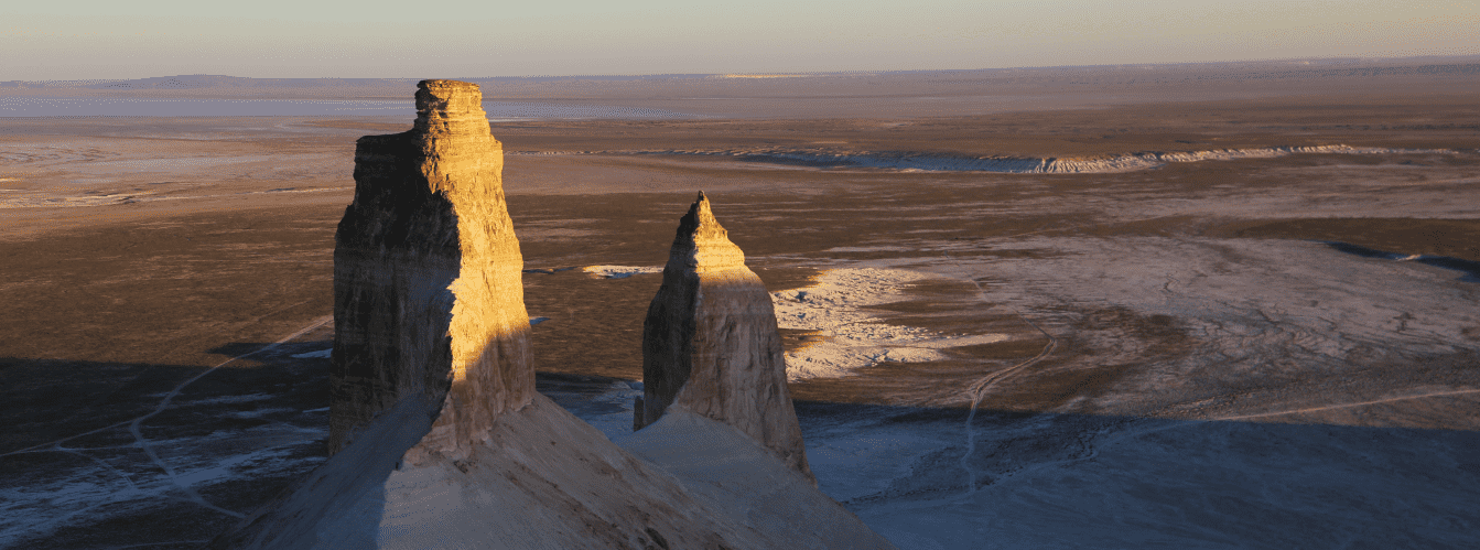
– to the east and southeast of the settlement stretches the grandiose Karynzharyk depression with its famous residual buttes – the Three Brothers mountains (Three Batyrs) and the adjoining Kenderli salt marsh;
– to the north and northeast extend the western cliffs of the Ustyurt plateau, the Bozzhyra tract, and the underground Beket-Ata mosque;
– to the west and northwest lie the picturesque folded ridges of the Karamaya Mountains and the Karashek salt marsh.
--------------------------------------------
How to get there and visit –
Akkuduk village is located in the desert southeastern part of the Karakiya district in the Mangistau Region, far from paved highways and major cities. The distance from the regional administrative center of the city of Aktau is around 290–300 km via motor roads and steppe tracks, from the city of Zhanaozen – about 140–150 km southeast, and from the administrative center of the district, Senek village – approximately 80–85 km off-road.
GPS geographic coordinates of Akkuduk village:
42°58'15"N 54°05'48"E
42.970833, 54.096667
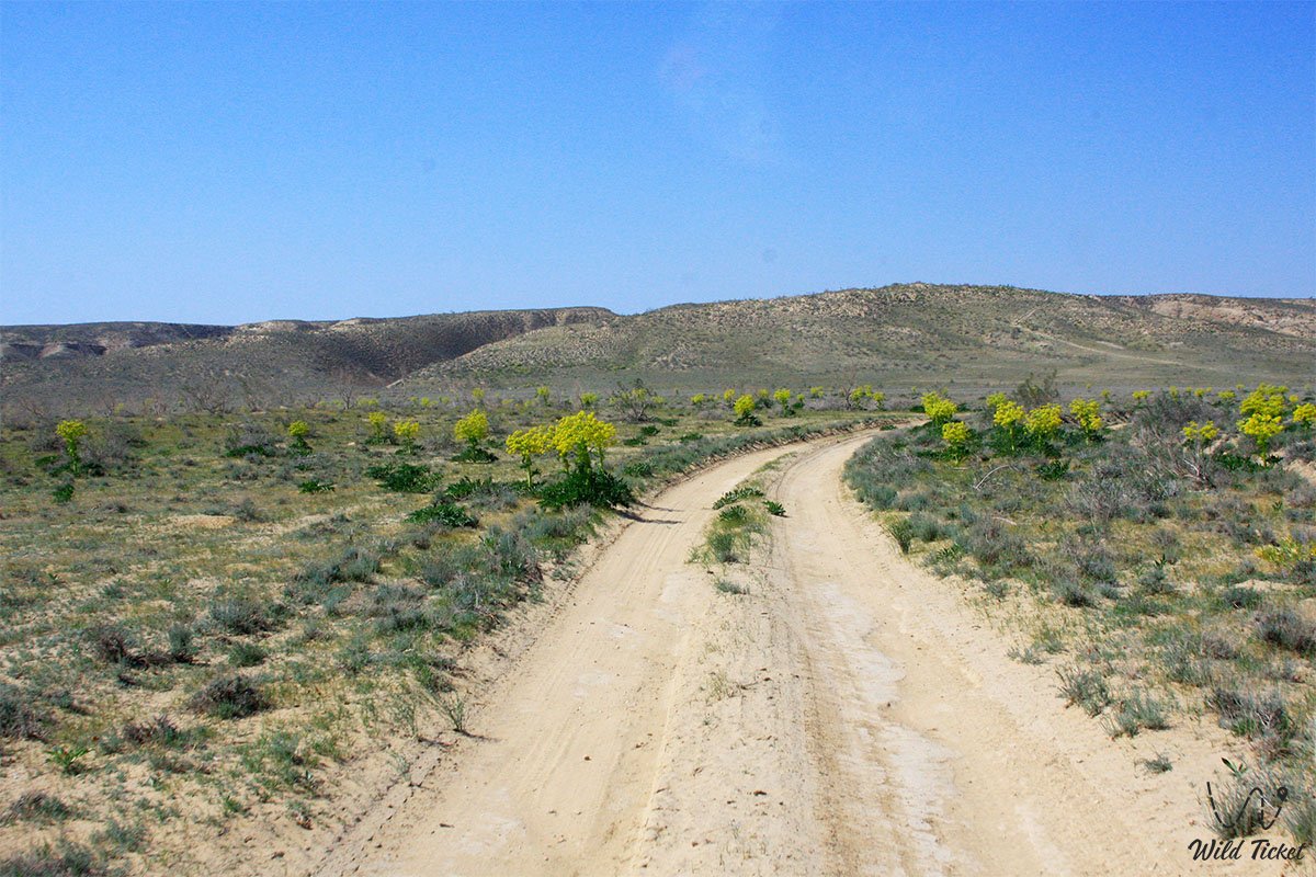
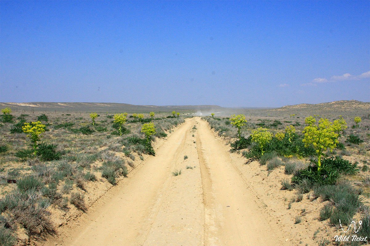
Route from Aktau and Zhanaozen: the main route begins along the republican paved highway from the city of Aktau to the city of Zhanaozen (about 150 km) and further to Senek village (another 60 km). Beyond Senek village, the asphalt ends, and the onward route stretching about 80–85 km runs along challenging steppe dirt tracks, stony plateaus, and sandy sections in a southeastern direction. Covering this stretch takes several hours.
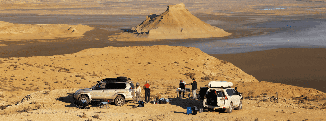
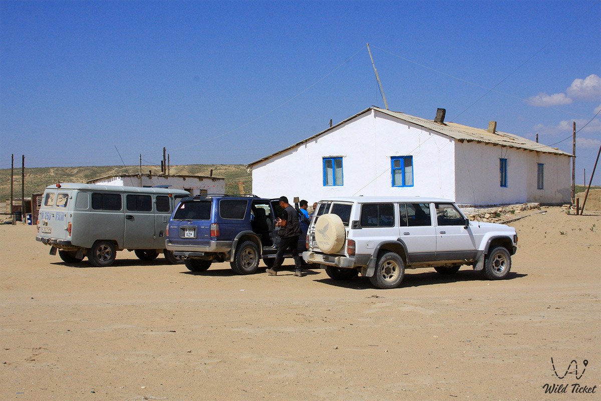
Vehicle requirements: a trip to Akkuduk and its surrounding attractions requires exclusively a prepared four-wheel-drive 4x4 off-road vehicle with high ground clearance, low-range gearing, and reliable tires. A standard passenger car will not pass here. During spring snowmelt and after rare rains, clay sections and nearby salt marshes (sors) soften and become completely impassable. On the desert track, it is easy to stray from the right rut, so travel requires satellite navigation or accompaniment by an experienced local guide.
Safety rules and etiquette:
An expedition to the Akkuduk village area takes place under conditions of complete autonomy:
– mobile reception and internet in the village and on its approaches are virtually absent, so you must carry offline maps, a satellite tracker or phone, a double fuel reserve, an air compressor, and a tire repair kit;
– an acute shortage of fresh water persists in the region: tourists are strictly prohibited from using water from local wells and residents' storage containers – your entire supply of drinking and technical water (at least 5–7 liters per person per day) must be brought with you;
– when visiting the settlement, show respect for the daily life and customs of local residents, and do not photograph people or courtyards without permission;
– all household litter must be carried back with you to the cities.
Infrastructure: any tourist infrastructure, hotels, cafes, shops, pharmacies, ATMs, auto repair services, and gas stations are completely absent in Akkuduk village. The last points for refueling, withdrawing cash, and purchasing groceries are the city of Zhanaozen and Senek village. Overnight stays are possible exclusively in autonomous tent camps outside the settlement.
Seasonality: the most favorable times for a trip to the Akkuduk area and the Karynzharyk depression are spring (April – May) and autumn (September – October), when daytime air temperatures remain within comfortable limits. In summer, intense heat reigns in the desert with temperatures reaching +42...+46 °C, while in winter freezing winds blow amid frosts down to -30 °C.
--------------------------------------------
History
The history of the area where Akkuduk is located is closely tied to the centuries-old culture of nomadic pastoralism and the development of water resources in arid southern Mangystau.
In antiquity and the Middle Ages, caravan trails and seasonal migration routes ran across these desert lands between the cliffs of the Ustyurt plateau and Garabogazkol bay. The primary condition for survival in the waterless steppe was the ability to locate and develop underground water sources. It was here that master well-diggers (kudykshy) excavated and lined with white limestone around fifty wells, giving the tract and the future aul its name – Akkuduk ("White Well"). For a long time, the wells collected rainwater and meltwater flowing down from the surrounding elevations, serving as an important watering stop for camel caravans and flocks of Kazakh clans of the Aday tribe.
During the Soviet period, transhumant livestock breeding – raising camels and sheep – developed in Akkuduk, and brigades of the "Senek" state farm operated here. In those years, the settlement numbered several dozen residential houses, and transport links with the district center were maintained.
In the post-Soviet period, due to climate change, decreased precipitation, and droughts (dzhuts), most of the ancient wells grew shallow, and the water in the remaining ones became brackish and suitable only for watering camels and household needs. Over time, some residents relocated to Zhanaozen and other settlements in the region; however, the remaining families continue to live on their native land, preserving their traditional camel-breeding way of life and managing their homesteads in harsh desert conditions.
Information
Akkuduk village is a rural settlement within the Senek rural district of the Karakiya district in the Mangistau Region of the Republic of Kazakhstan.
Main administrative and demographic parameters:
– status: village within the Senek rural district;
– KATO code: 474249200;
– geographic location: southeastern part of the Karakiya district, approximately 105 km southeast of the city of Zhanaozen in a straight line (140–150 km by road) and 80–85 km from Senek village;
– population: according to the 1999 census – 270 residents (128 men and 142 women); according to the 2009 census – 255 residents (143 men and 112 women); in recent years, the village numbers around 20 residential homesteads and roughly 200 permanent residents.
Natural and infrastructural features:
– water supply: drinking water in the settlement is brought in by tanker trucks (delivered from the Akmaya desalination plant located 10 km away, or from Senek and Zhanaozen) and stored in underground cistern-wells; water from the surviving ancient stone wells has elevated mineralization and is used for livestock;
– utilities and communications: centralized gas supply, paved roads, permanent stores, and stable cellular reception are absent.
Relief and climate:
The village is located in a desert steppe zone at an absolute elevation of about 75–90 meters above sea level, surrounded by salt-marsh depressions and residual elevations. The climate is sharply continental and ultra-arid, with extremely low annual precipitation (less than 100 mm), hot summers, and scant-snow, windy winters.
Detailed site description
The appearance of Akkuduk village and the surrounding area is shaped by the following characteristic elements:
• Ancient white-stone wells – historical hydraulic structures built of pale limestone that gave the settlement its name and served as the foundation of life in the waterless steppe.
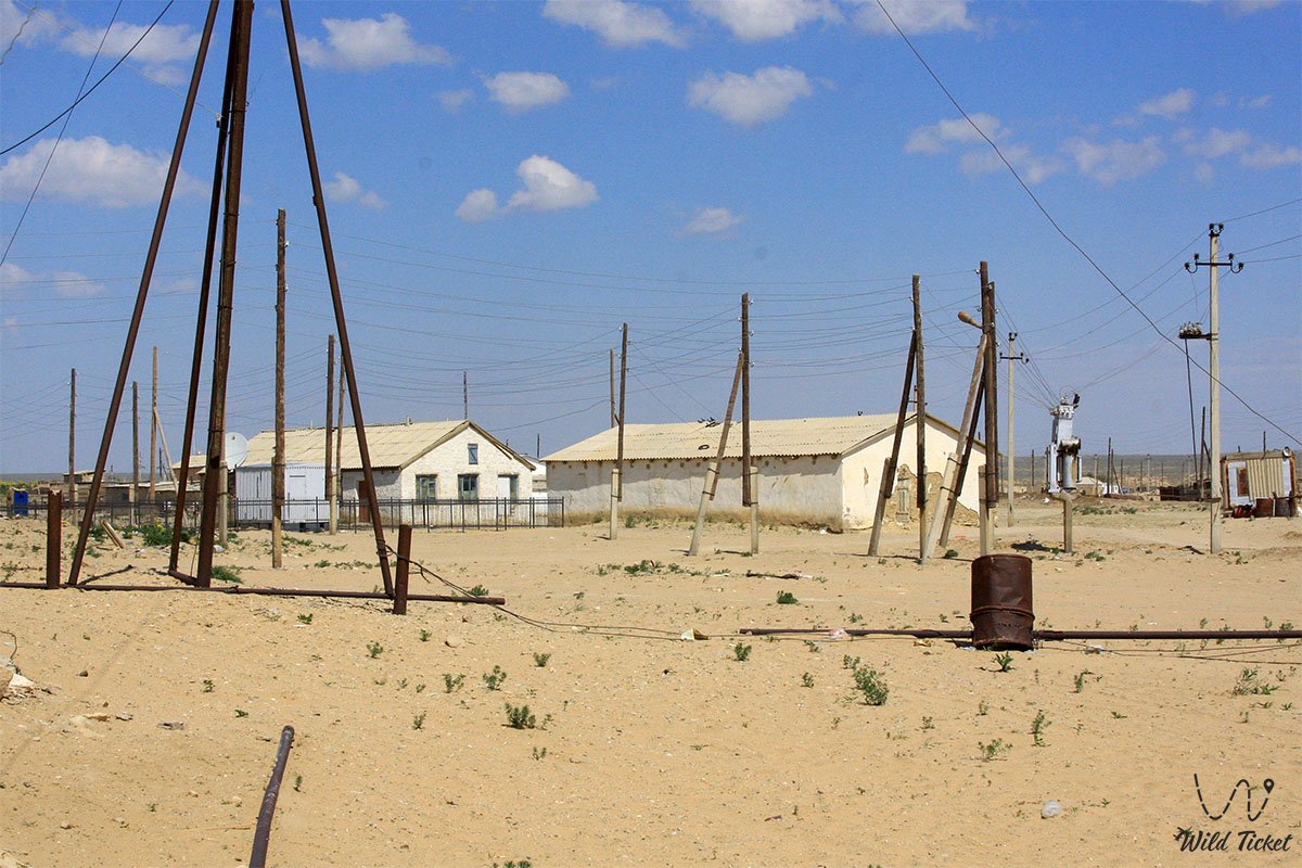
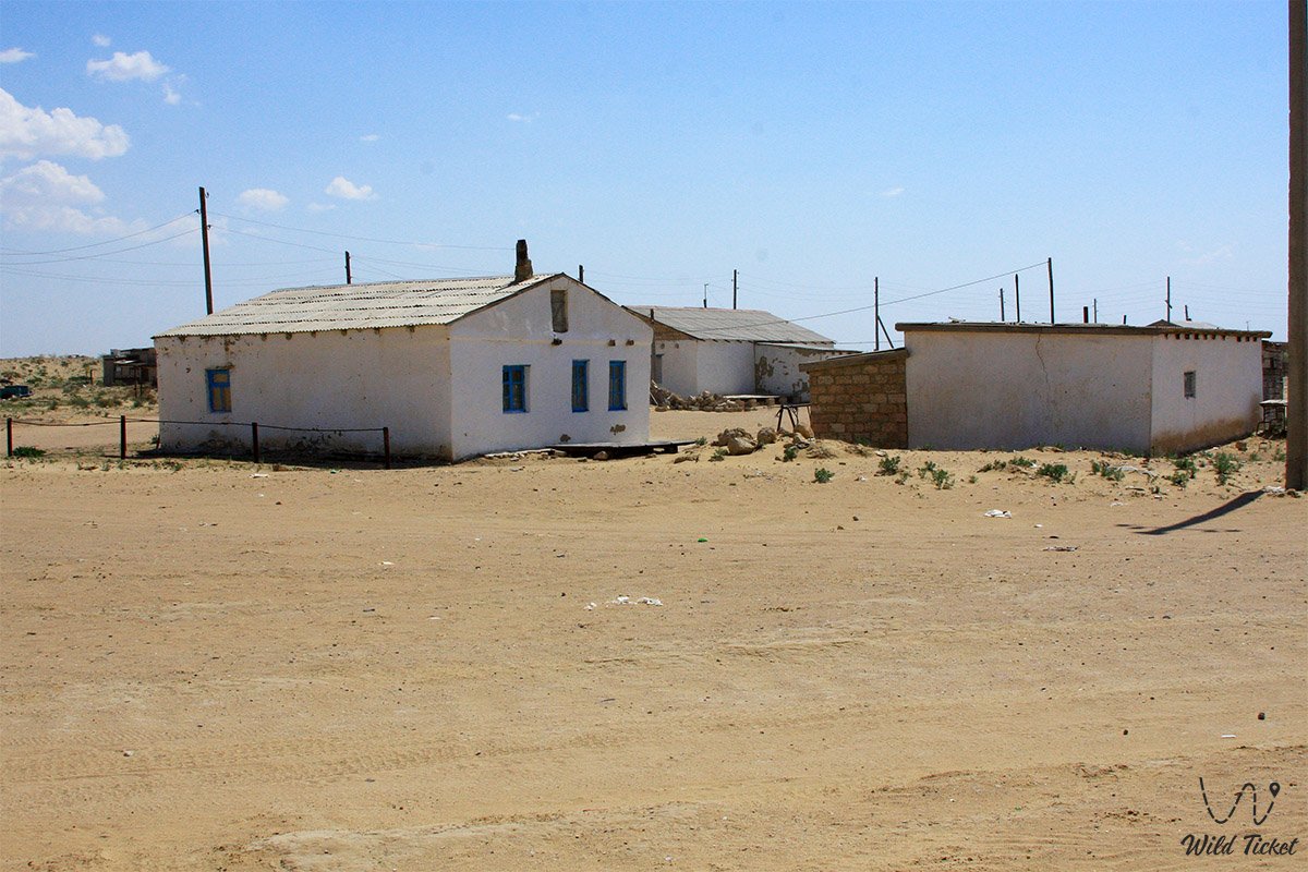
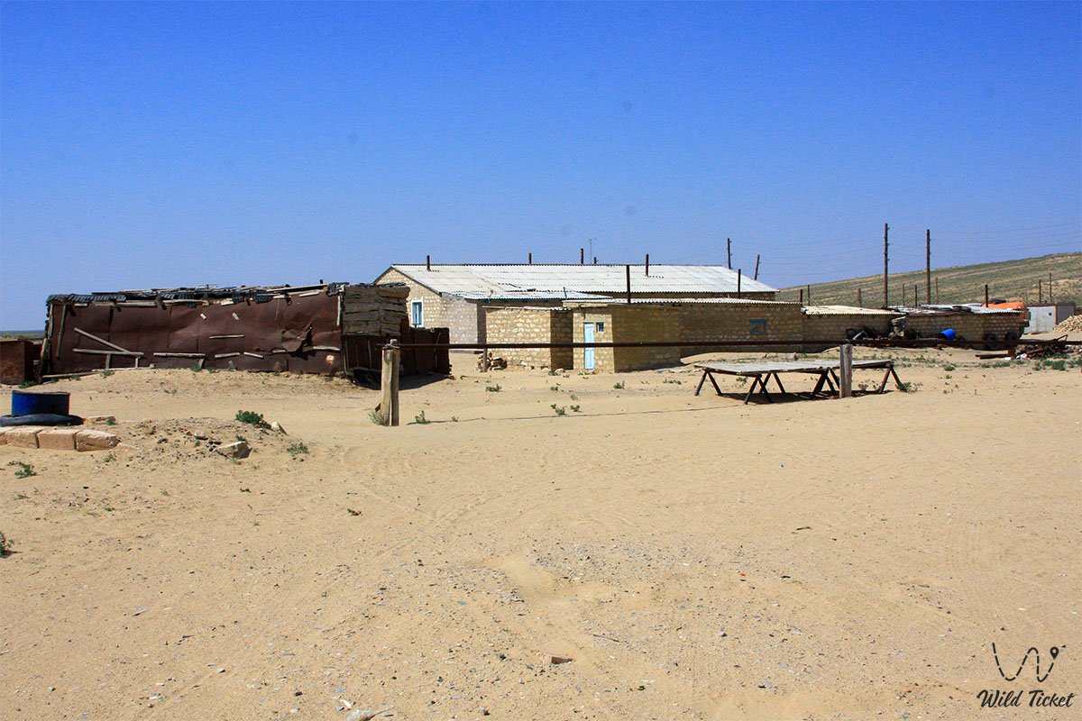
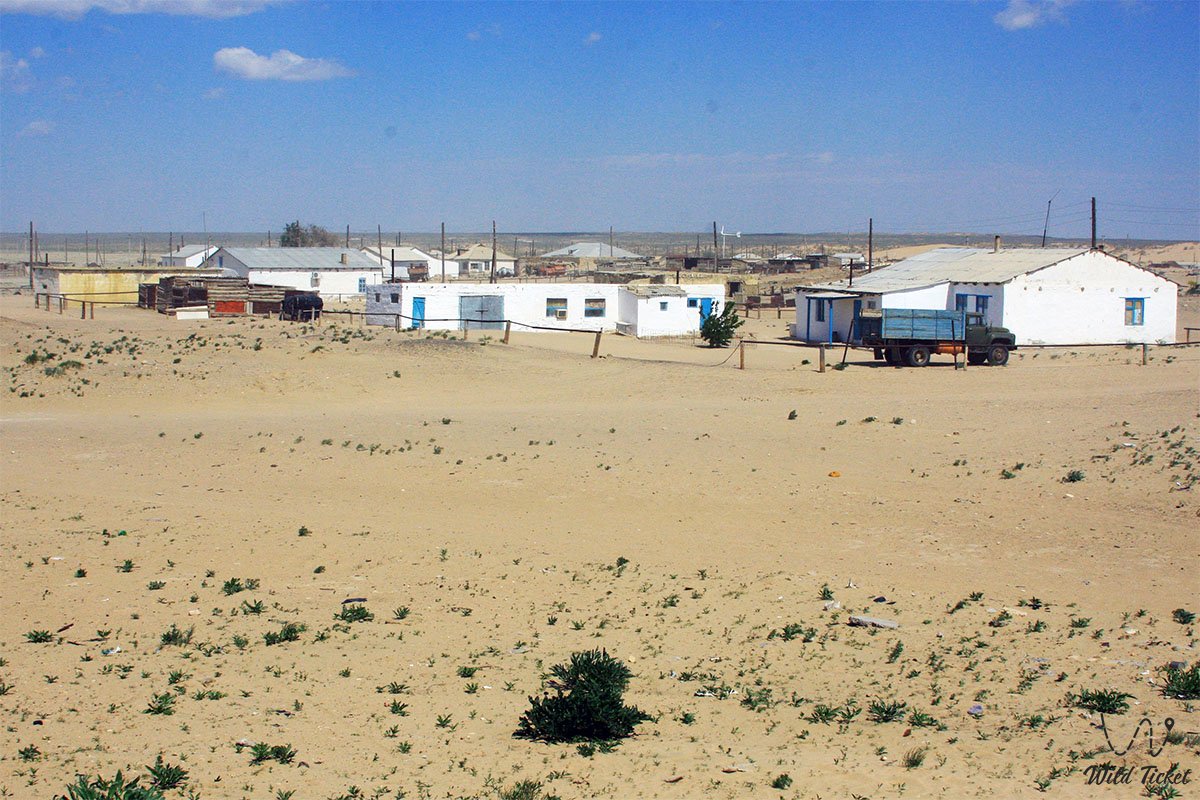
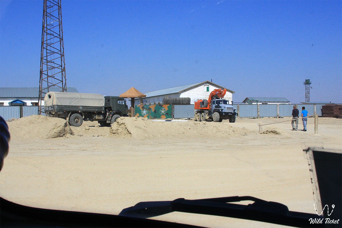
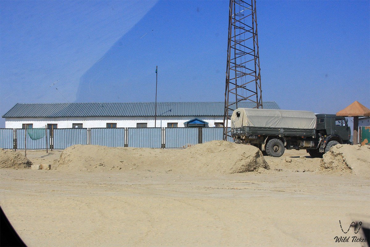
• Low-rise architecture of the steppe aul – around two dozen residential houses built of shell rock with adjoining camel corrals, reflecting the traditional daily life of desert pastoralists.
• Desert steppe tracks and approaches to Ustyurt – an intricate network of dirt roads along which expedition routes pass toward the Karynzharyk depression and the southern chinks of the plateau.
• Surrounding salt marshes and residual ridges – the Kenderli and Karashek sors adjoining the settlement area, as well as the folded elevations of the Karamaya ridge.
Flora and fauna
Plant life around Akkuduk village is typical of the southern wormwood-saltwort and sandy-clay deserts of Mangystau. Desert wormwood, biyurgun, boyalych saltwort, saltworts, and winterfat (teresken) grow on the arid soils, while shrubs of black and white saxaul, juzgun, and tamarisk occur on the adjoining sand massifs. In spring (April – May), when moisture is available, the steppe is briefly covered with green ephemerals and wild tulips.
Animal life is represented by inhabitants of desert ecosystems. Among domestic animals, the main wealth of local residents is two-humped Bactrian camels, ideally adapted to water scarcity and salty forage. In the wild, goitered gazelles, saiga antelopes, Ustyurt mountain sheep (mouflons), steppe wolves, corsac foxes, sand cats, tolai hares, jerboas, and long-eared hedgehogs inhabit the environs.
Bird life includes steppe eagles, long-legged buzzards, kestrels, larks, wheatears, MacQueen's bustards (houbara), and black-bellied sandgrouse. Among reptiles, Central Asian tortoises, steppe agamas, toad-headed agamas, rapid fringe-toed lizards, desert sand boas, and steppe ribbon snakes are common.
Legends
The origin of the fifty white wells, thanks to which the settlement of Akkuduk emerged in the waterless desert, has long been reflected in the oral traditions of local elders.
The Tale of the Fifty White Wells of the Master Kudykshy:
An ancient legend recounts that in time immemorial, one nomadic clan wandered the southern deserts for many years in search of pastures, yet everywhere encountered severe drought. Then an old wise well-digger named Bekmyrza listened closely to the earth at the edge of a desert basin and heard the faint whisper of underground waters deep beneath the stones. For seven years, together with his sons and kinsmen, he carved wells one after another out of pale limestone until there were exactly fifty of them. The water inside proved pure and cool, while the white stone wellheads gleamed across the steppe from afar, guiding weary caravans. Ever since, this blessed place has been called Akkuduk – "White Well."
--------------------------------------------
Conclusion
Akkuduk village is a distinctive and harsh steppe outpost in the far southeast of the Karakiya district of the Mangistau Region, where people preserve their traditional way of life far from the comforts of civilization to this day. For road travelers and jeep expeditions, this aul of ancient white wells serves as an important geographic landmark en route to the Basgurly-Zhazgurly depression system, the Kuandy depression, and the shores of the Caspian Sea toward Kenderli Bay and Cape Tokmak.
Nearby attractions:
• Karynzharyk Depression;
• Three Brothers Mountains;
• Kenderli Salt Marsh;
• Balayuk Cave;
• Utebay Cave;
• Karamaya Mountains (Ridge);
• Karashek Salt Marsh;
• Bozzhyra Tract;
• Mount Bokty;
• Ustyurt Plateau;
• Senek Settlement;
• City of Zhanaozen;
• Karagiye Depression;
• Caspian Sea.
Photogallery: