Land of deepest depressions, cyclopean chinks of Ustyurt, and wild nature of Kazakhstan –
The Karakiyan District (Kaz. Qaraqiya audany) represents the southern, largest in area administrative district of the Mangystau region of the Republic of Kazakhstan, spanning over 64,000 square kilometers. The district occupies the southern half of the Mangyshlak Peninsula and adjoining expansive tracts of the Ustyurt Plateau all the way to state borders with Turkmenistan and Uzbekistan to the south and east, while being washed by the waters of the Caspian Sea to the west.
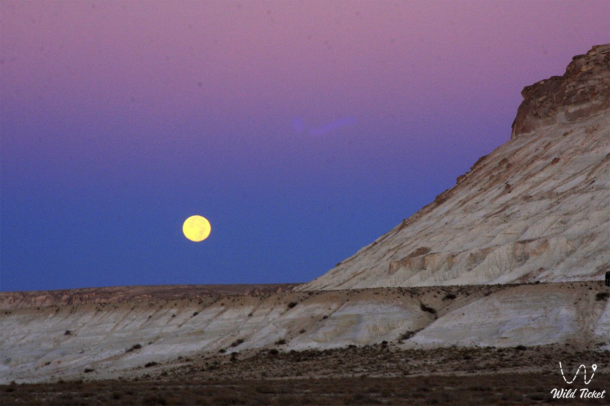
This entire grandiose territory is a direct geological legacy of the prehistoric Tethys Ocean, whose receding waters left behind colossal strata of limestone, gypsum, marl, and writing chalk, sculpted by tectonic forces and erosion into the most contrasting landscapes on Earth. It is home to the deepest dry depression in Kazakhstan and one of the lowest in the world – the Karagiye depression (-132 meters below world sea level), which gave the modern name to the district (Kaz. "qaraqiya" – "black steep slope / precipitous hillside").
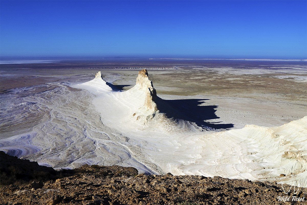
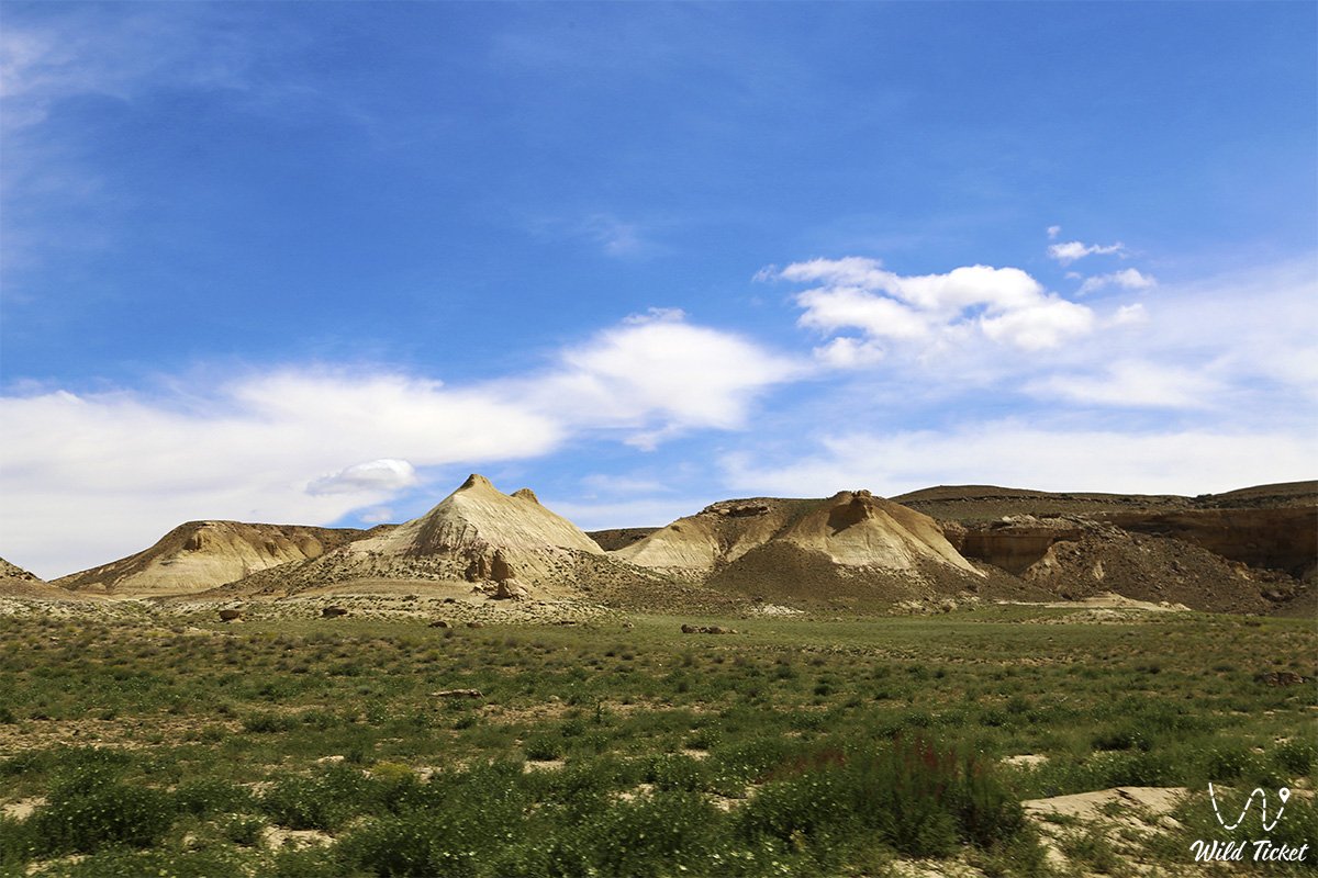
Concentrated within the borders of the Karakiyan district are globally renowned natural phenomena and the primary visual icons of Mangystau: the Martian snow-white castles and fangs of the Bozzhira tract, the layered banded Mount Bokty, the 85-kilometer tectonic Karynzharyk depression with the Kenderli salt flat and the "Three Batyrs" outliers, the dark mountain and ridge of Karamaya, the golden dunes of Senek and Tuyesu, and the impregnable chinks of the Ustyurt Plateau. A substantial portion of the district is occupied by benchmark protected ecosystems – the Ustyurt State Nature Reserve and the Kenderli-Kayasan Nature Sanctuary.
Along the maritime coast of the Karakiyan district lies the sea port of Kuryk – a strategic transport and logistics hub along the Trans-Caspian International Transport Route, the Kenderli resort zone near the natural Kenderli Bay, while the administrative center of the district is the settlement of Kuryk (formerly Yeraliyevo). Rich deposits of petroleum, natural gas, and building stone are extracted from the subsoil of the district.
Today, the Karakiyan district is recognized as a global center for expedition, off-road, geomorphological, and ecological tourism, drawing travelers with the primeval power of its cosmic vistas and the profound stillness of the boundless steppe.
--------------------------------------------
How to get there and visit –
The Karakiyan district covers the entire southern and southeastern part of the Mangystau region. It borders to the north on the Munaily district and the Mangystau district, to the east on the Republic of Uzbekistan (Karakalpakstan), to the south on Turkmenistan (Balkan Velayat), is washed by the Caspian Sea to the west, and encloses the city of regional significance Zhanaozen as an enclave within its geographic center. The administrative center of the district – the settlement of Kuryk – is situated 65–70 km south of the regional center Aktau.
GPS geographical coordinates of the administrative center (settlement of Kuryk):
43°11'50"N 51°39'20"E
Transportation routes into the Karakiyan district:
Western coastal direction (to the settlement of Kuryk and Port Kuryk): high-speed paved highway Aktau – Kuryk (about 65–70 km, driving time – 45–50 minutes in any automobile).
Southeastern direction (toward Zhanaozen, Bozzhira, Beket-Ata, and Karynzharyk): high-speed highway Aktau – Zhanaozen (150 km of excellent asphalt), where roads branch off toward Senek, Besshoky, Beket-Ata, and the border with Turkmenistan.
Key roads to the district's primary natural sites vary in difficulty:
• An asphalt highway leads directly to the viewing platforms of the Karagiye depression on the Aktau – Zhanaozen road (about 30–50 km from Aktau);
• A paved motorway runs from Zhanaozen to the shrine of Beket-Ata and the turnoff toward the Fangs of Bozzhira;
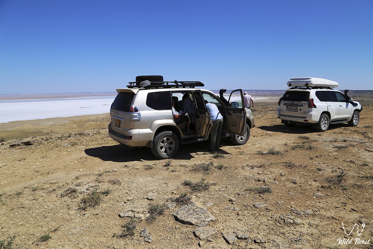
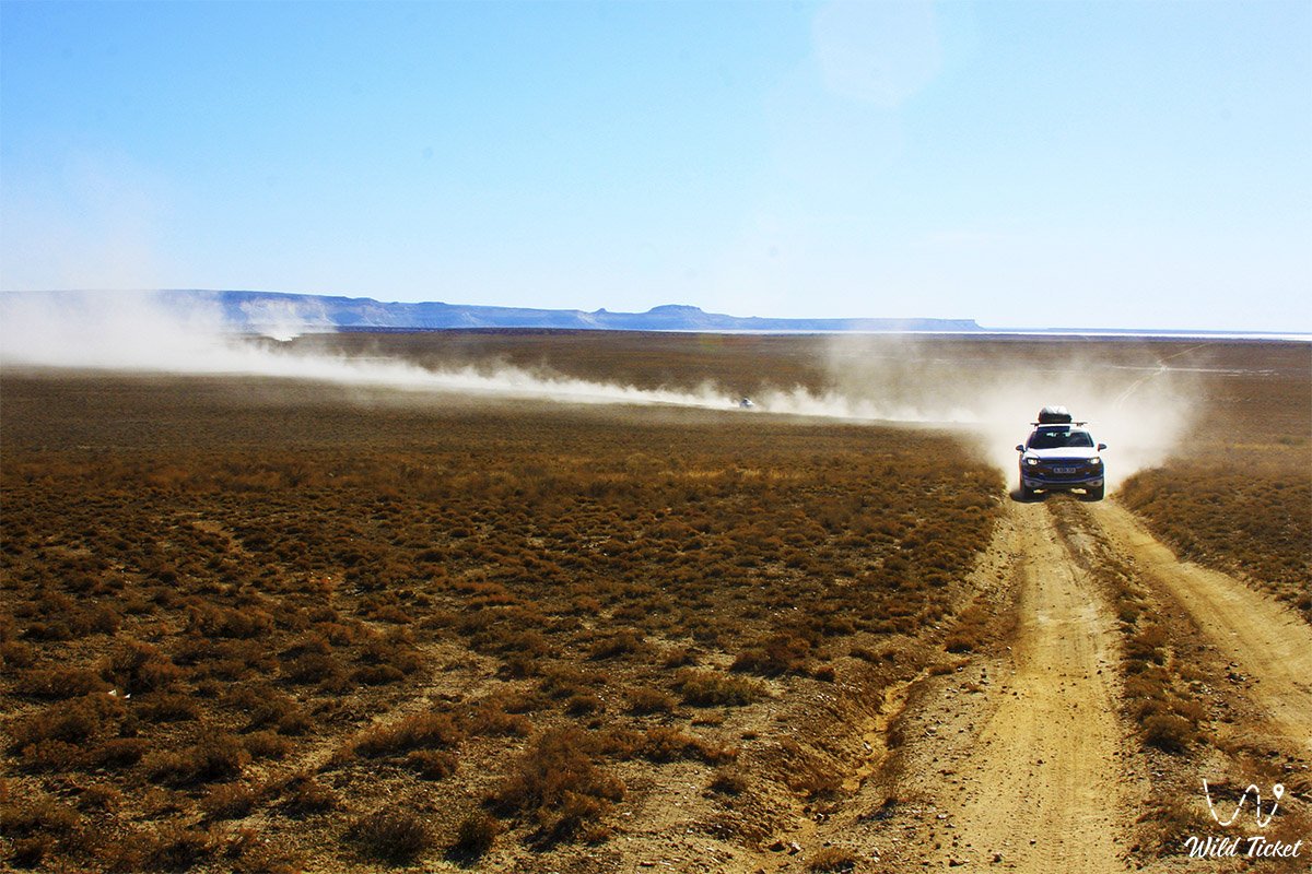
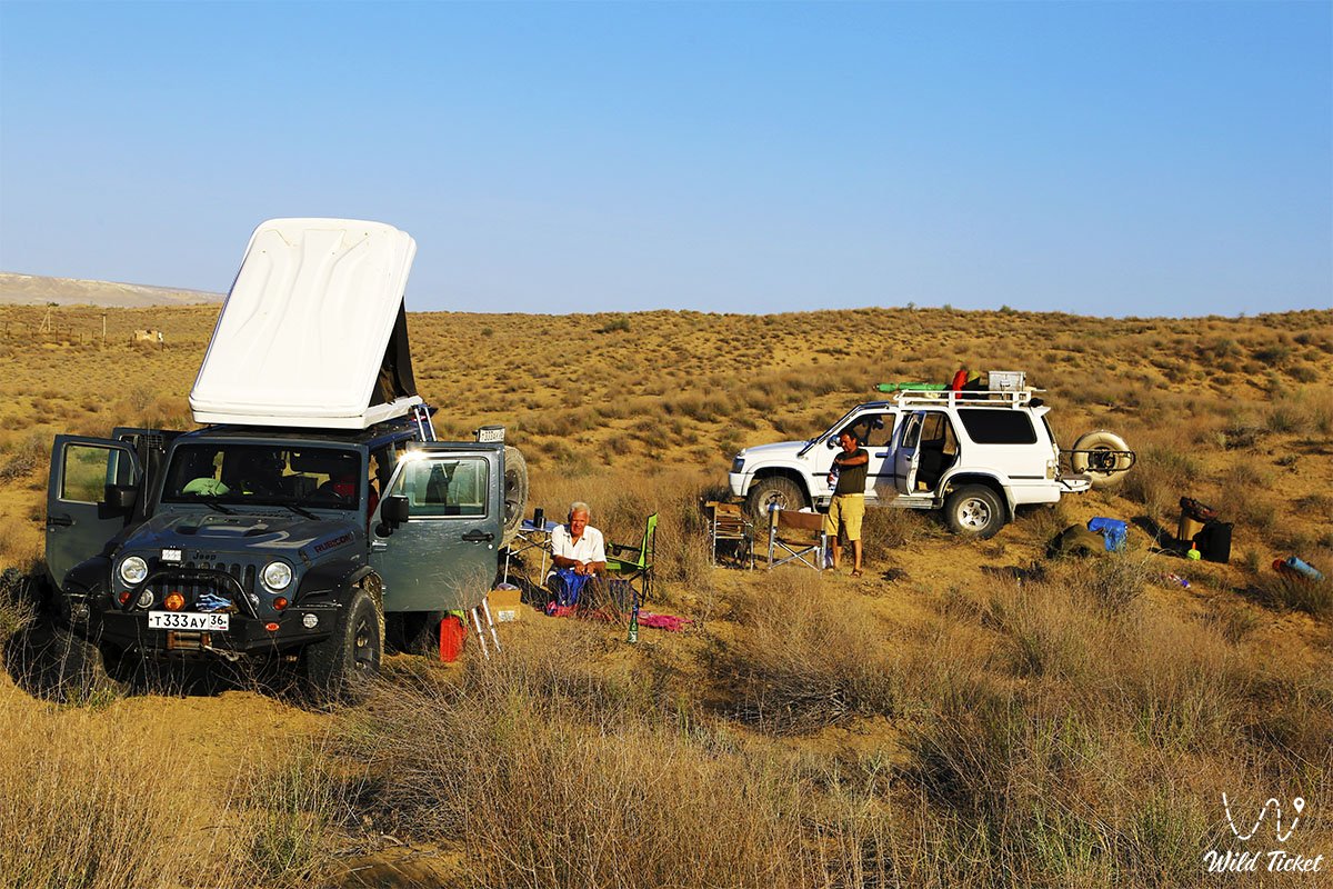
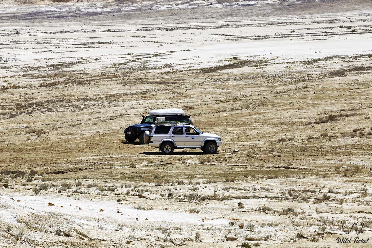
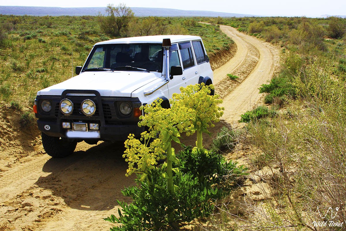
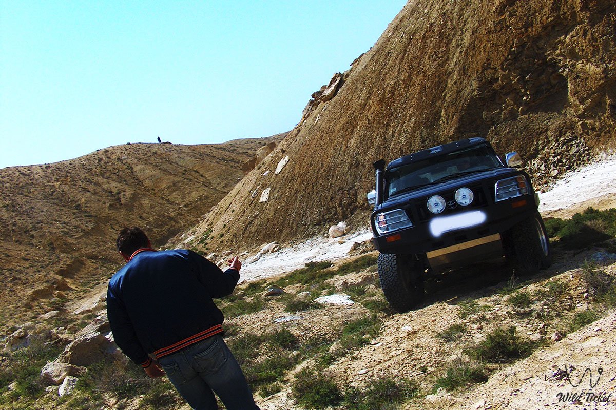
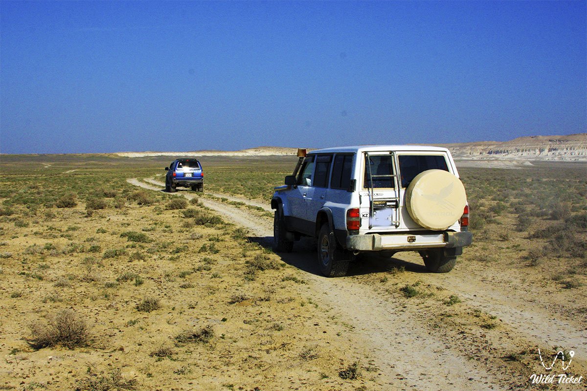
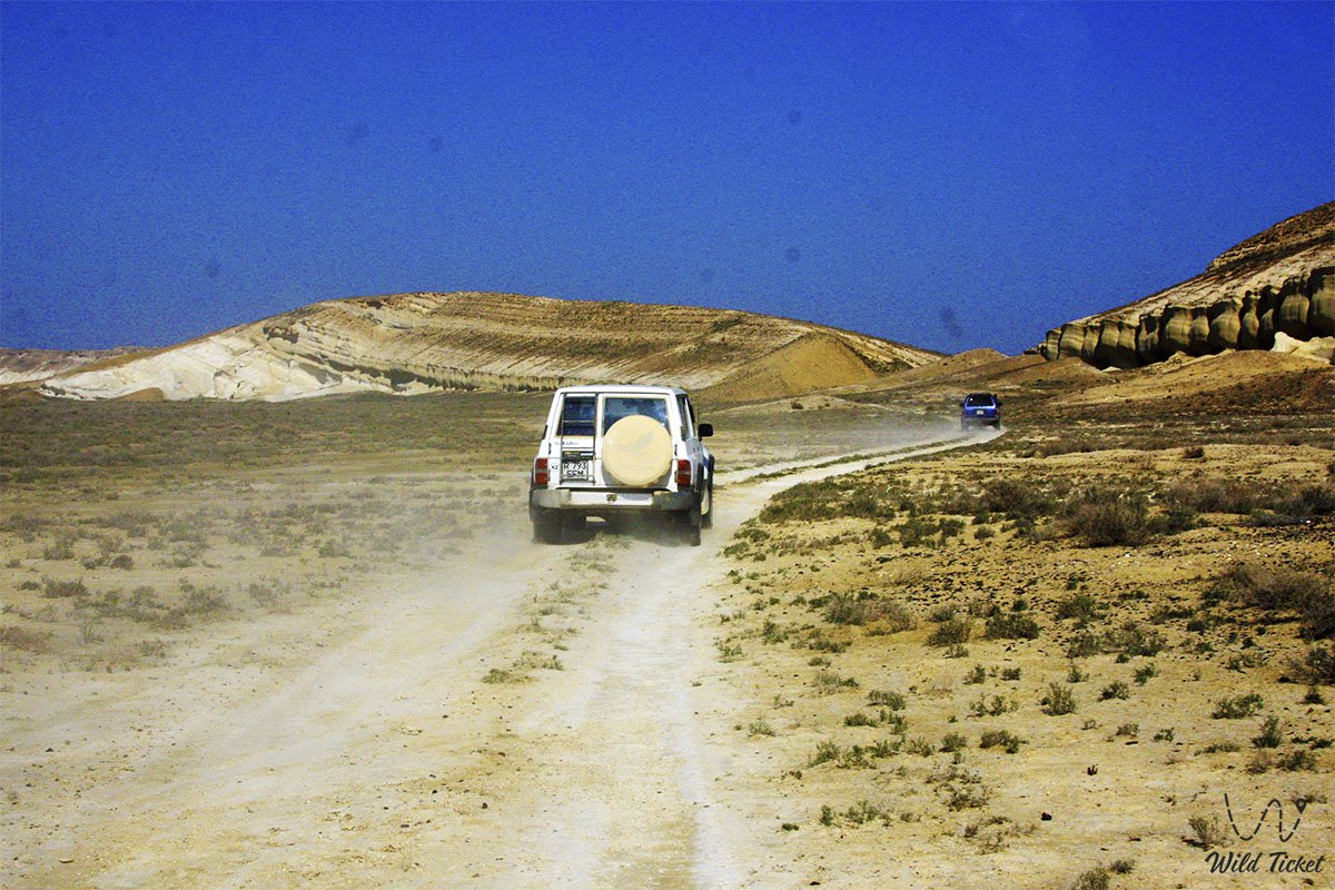
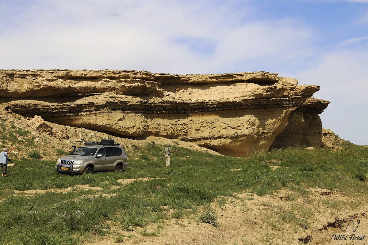
• Reaching the lower plateau of Bozzhira, Mount Bokty, the Karynzharyk depression, the Kenderli salt flat, and the cordons of the Ustyurt Reserve involves difficult gravel graders, deep sands, and salt-marsh tracks, requiring exclusively a body-on-frame four-wheel-drive vehicle (4x4) with high ground clearance, heavy-duty suspension, and all-terrain tires (AT/MT). For long journeys to Karynzharyk, traveling in a convoy of at least two vehicles is mandatory.
Border regime: the southern and eastern margins of the district border on Turkmenistan and Uzbekistan, and sites in the Ustyurt Reserve require formal access permits. For visits to strictly protected zones, permits must be obtained in advance from the reserve administration in the city of Zhanaozen, and original passports or identity cards must always be carried on one's person.
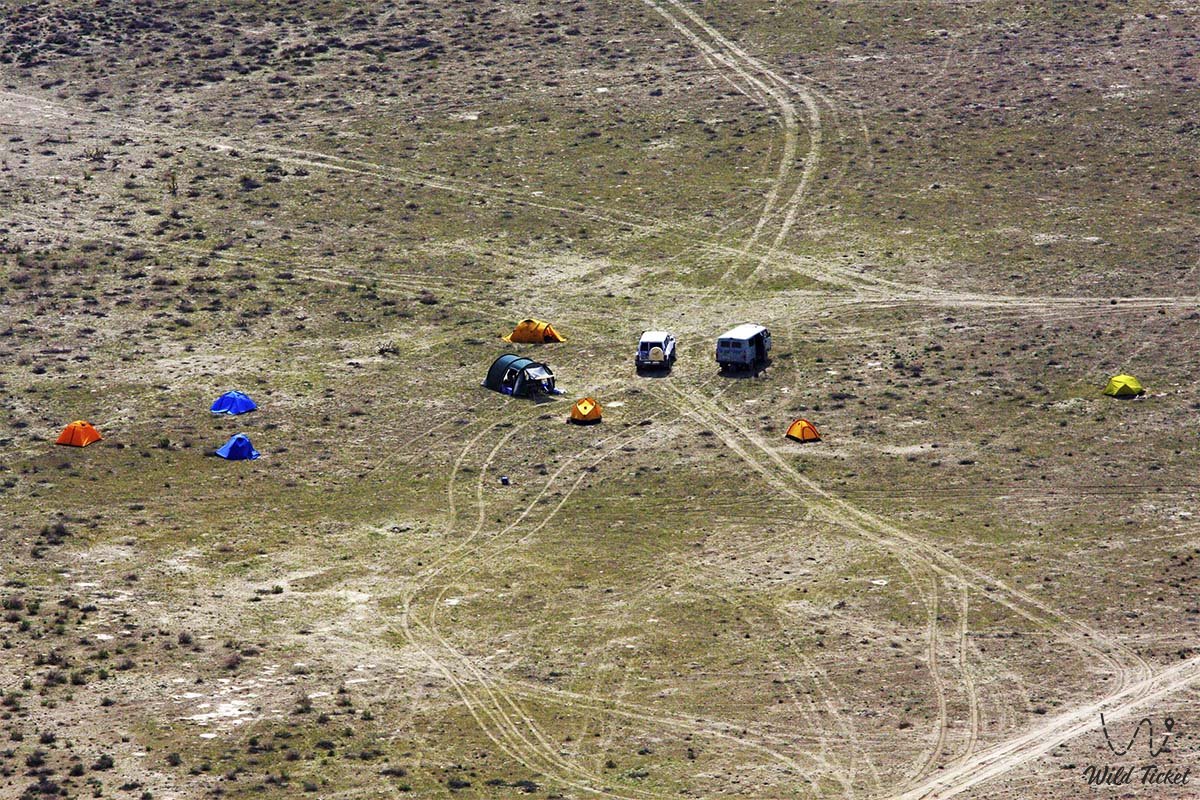
District infrastructure is concentrated in the settlement of Kuryk, the city of Zhanaozen, and the settlements of Senek, Zhetybay, and Munayshy: network gas stations, service stations, tire repair shops, hotels, supermarkets, and hospitals operate here. The year-round Kenderli seaside resort operates on the Caspian coast. Along remote expedition routes (Bozzhira, Karynzharyk), infrastructure is entirely absent: mobile phone connectivity does not function, and there are no sources of potable water. Personal water reserves must be at least 5 liters per person per day, while spare fuel in jerrycans and satellite communications are essential.
The best time to travel across the Karakiyan district is spring (from mid-April to late May), when the steppe turns green, tulips bloom, and salt flats fill with water, alongside early autumn (September – October). In July and August, extreme heat climbs to +45...+48 °C in deep basins and across salt flats.
--------------------------------------------
History
The history of the Karakiyan district spans deep epochs of time – from Stone Age settlements of primitive humans to the largest industrial construction projects of modern Kazakhstan. Archaeological excavations along the Ustyurt chinks and the Caspian shore have uncovered over 60 Neolithic sites, hunter flint workshops, and burial mounds of Saka-Massagetae nomadic antiquity.
During the Middle Ages, strategic caravan arteries crossed the territory: the Khwarazmian trade route wound along the Ustyurt chinks, connecting the cities of Khiva and Kunya-Urgench with Caspian roadsteads. Fortifications, the Alan fortress, the Beleuli caravanserai, and the commercial town of Shahr-i-Vazir were built along these tracks. Rock-cut Sufi underground mosques were carved out by disciples of Khoja Ahmed Yasawi – Shopan-Ata and the revered sage Beket-Ata in the Oglandy tract.
In the 18th and 19th centuries, the territory became an integral heartland for seasonal pastures of the Kazakh Aday clan. Renowned batyrs defended these wintering grounds and rangelands, and necropolises of the nomadic elite formed around mountain passes and freshwater wells.
The modern chapter of district history commenced in the 20th century with the discovery of colossal hydrocarbon resources. In 1961, the first powerful oil gusher erupted at the Uzen field, followed by the discovery of the giant reserves of Zhetybay. The district was officially formed in 1973 under the name Yeraliyev District with its seat in the settlement of Yeraliyevo (renamed Karakiyan District in 1993, with its administrative center renamed Kuryk).
In the 21st century, the district gained tremendous development momentum through the launch of the modern Port Kuryk ferry terminal complex, integration into the International North–South Transport Corridor, and rapid growth of global ecotourism centered on the Bozzhira tract.
Information
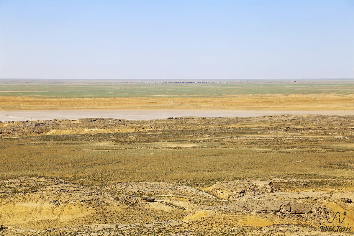
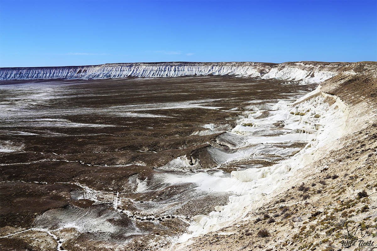
Geomorphologically, the Karakiyan district represents a grandiose staircase of denudational and aggradational plains stepping down from the Ustyurt Plateau toward the Caspian Sea. The elevation range of the district is vast: extending from the deepest Karagiye depression (-132 m below sea level) and the floor of the Kenderli salt flat (-52 m) up to elevations exceeding +340 meters above sea level along the crests of the Western chink of Ustyurt.
The orographic framework of the district consists of the following macrostructures:
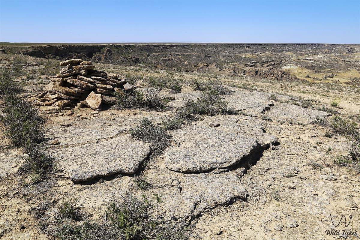
1. Ustyurt Plateau – a table-like limestone upland with steep precipitous scarps (chinks) soaring 150–250 meters high.
2. Depressions of Karagiye, Karynzharyk, Basgurly, and Zhazgurly – colossal tectonic downwarps and erosional-deflationary basins.
3. Outlier massifs of Bozzhira, Mount Bokty, and Karamaya – relict landmarks formed through erosional dissection of the plateau.
4. Sand massifs of Senek, Tuyesu, Kenderlikum, and Karynzharyk – aeolian sand seas exhibiting ridge and barchan dune topographies.
5. Caspian Lowland and marine coastline featuring sandy and rocky spits.
The geological cross-section is composed of Mesozoic and Cenozoic marine sedimentary strata of the Tethys Ocean: Upper Cretaceous writing chalk, marls, Sarmatian coquina limestones, gypsum, and clays. Outcrops everywhere yield fossils of ancient marine fauna: shark teeth, sea urchin tests, and mollusk shells.
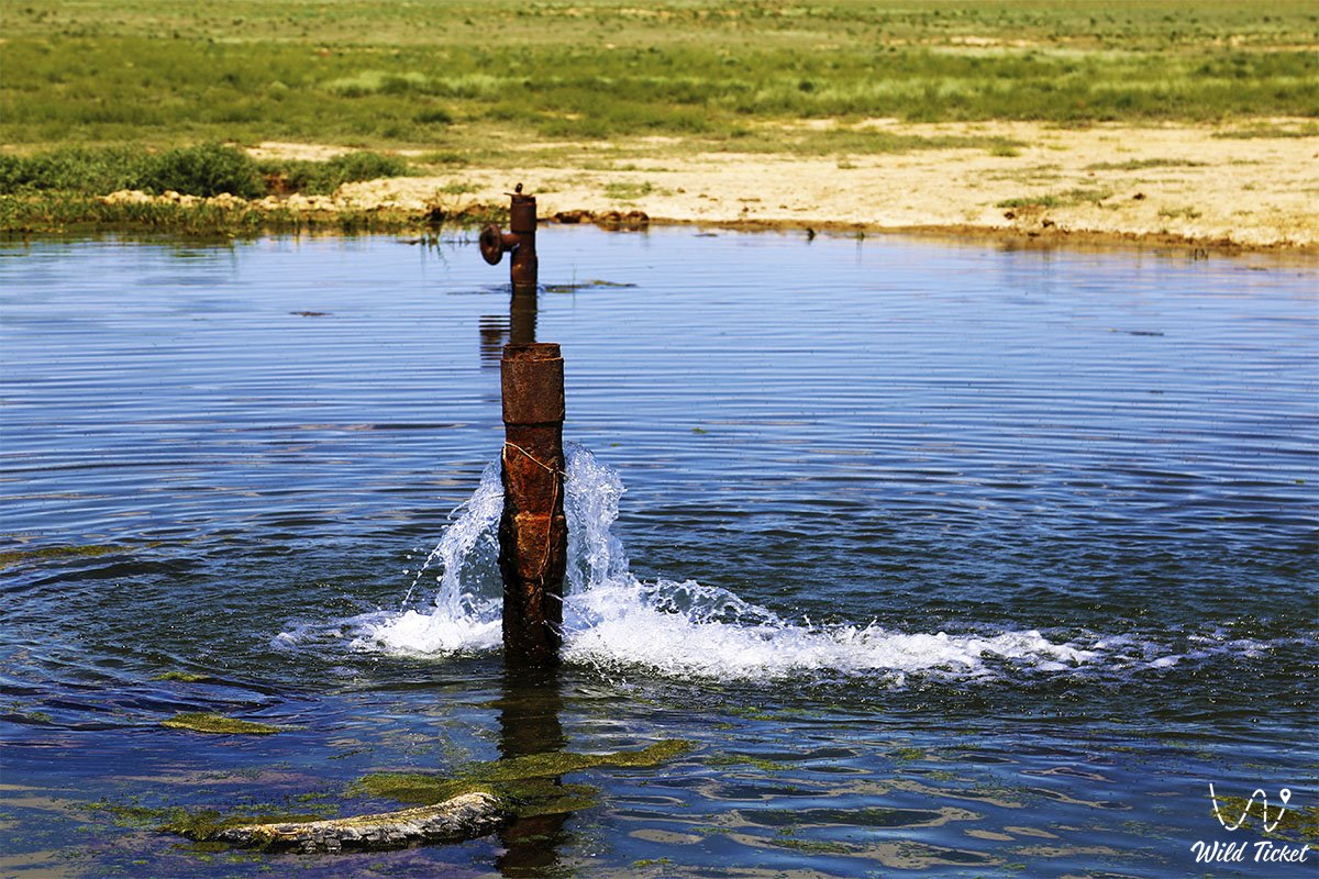
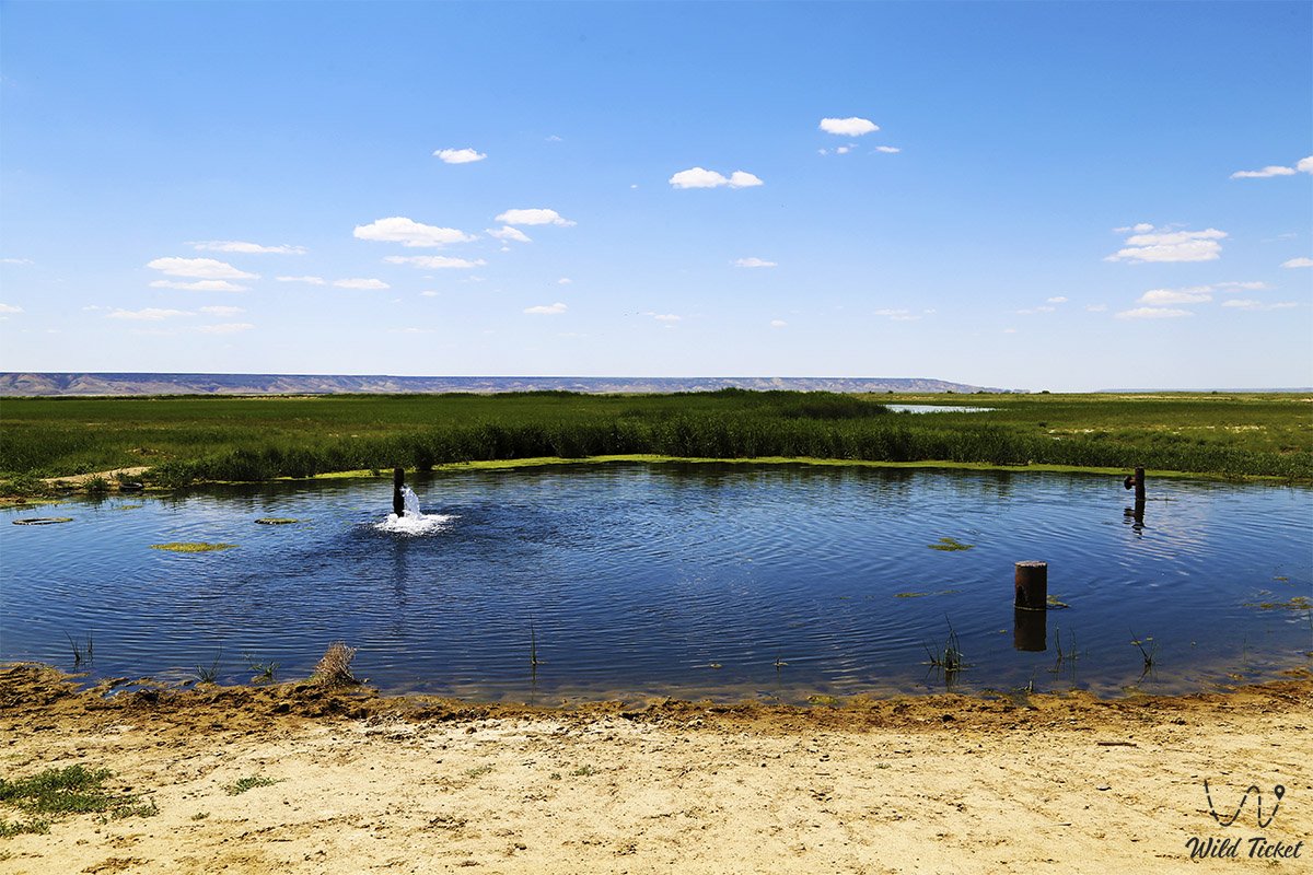
The hydrological regime of the district is extremely arid: permanent rivers are absent. Water supply relies on deep artesian aquifers, Caspian desalination plants, and occasional freshwater springs (Onere, Yelshibek, Kugusem well).
The climate is sharply continental, dry desert. The average July temperature ranges between +28 and +34 °C (with daytime peaks under the sun reaching +45...+47 °C), while January averages -4 to -8 °C with biting freezing winds. The frost-free period exceeds 200–220 days per year.
Detailed description of the venue
The natural, cultural, and logistics complex of the Karakiyan district includes the following outstanding features:
• Endorheic Karagiye Depression (-132 m) – one of the deepest dry depressions on Earth, measuring 85 km long and up to 25 km wide, an immense tectonic bowl featuring the Batyr salt flat and roadside observation decks.
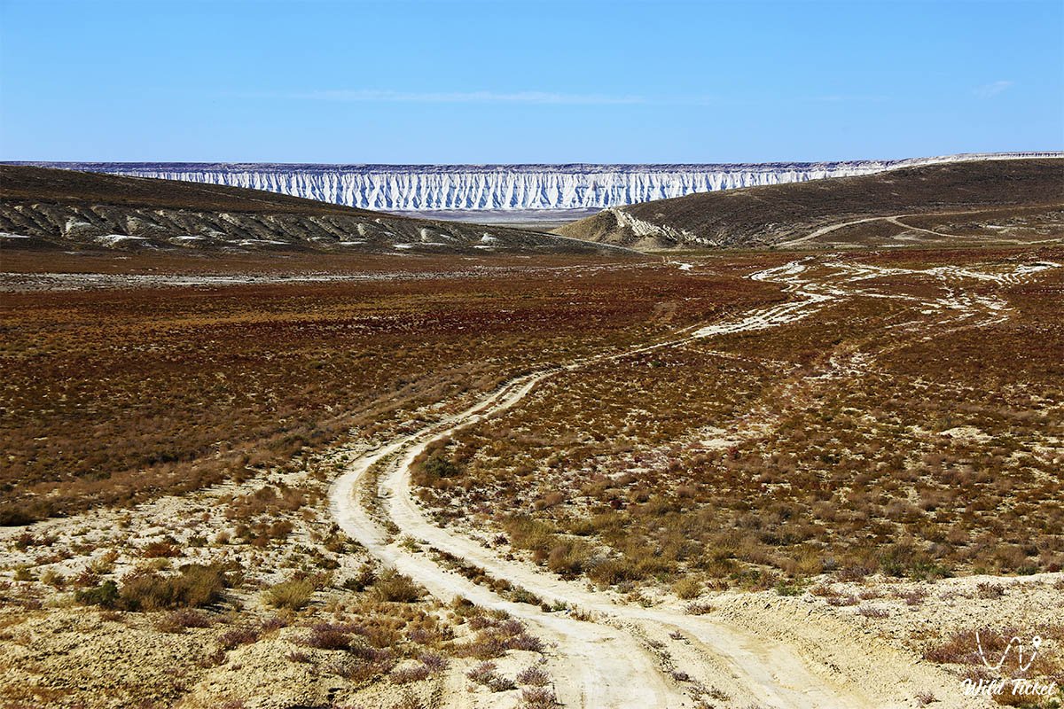
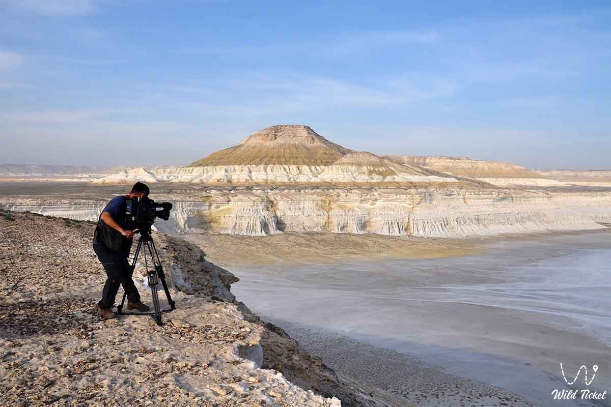
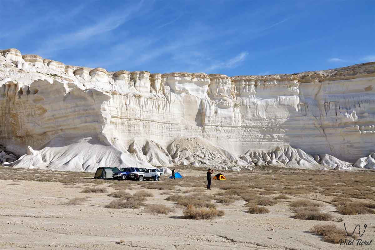
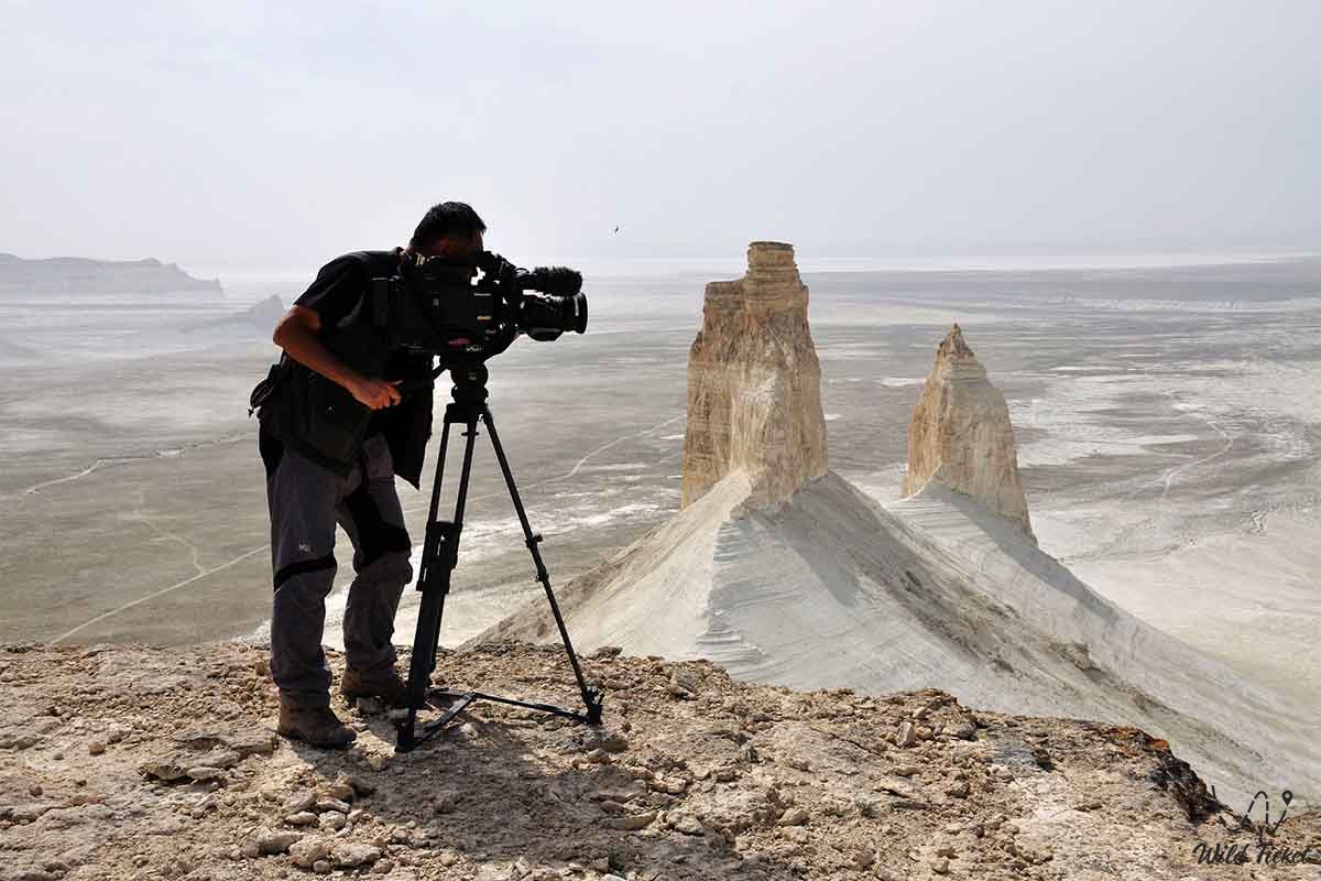
• Bozzhira Tract – the world-famous visual emblem of Mangystau, a monumental canyon of the Ustyurt chink featuring dazzling white chalk outliers known as "The Fangs," "The Yurt," "The Amphitheatre," and "The Martian Glade."
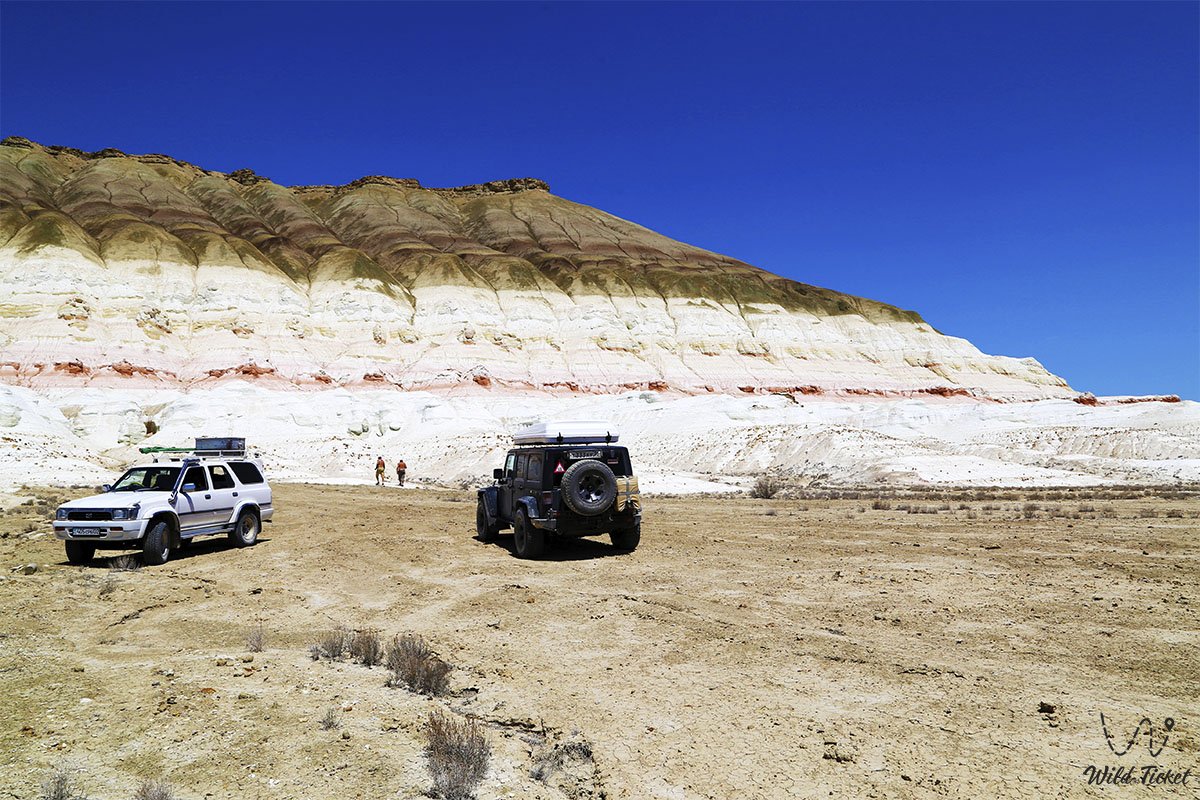
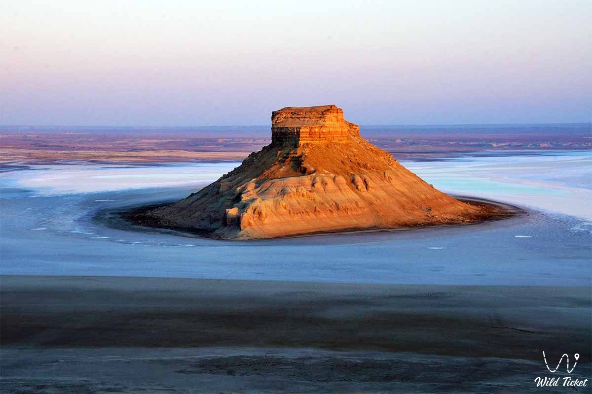
• Stratified Mount Bokty Outlier – a solitary conical mountain with regular horizontal multi-hued bands of chalk and clay (white, yellow, pink, and red), featured on the national banknote of Kazakhstan.
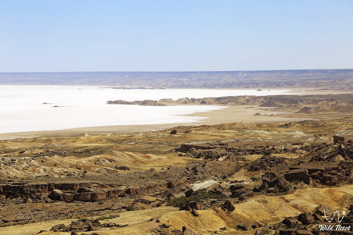
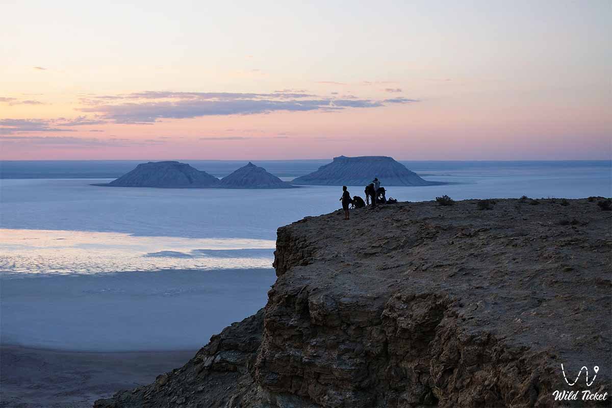
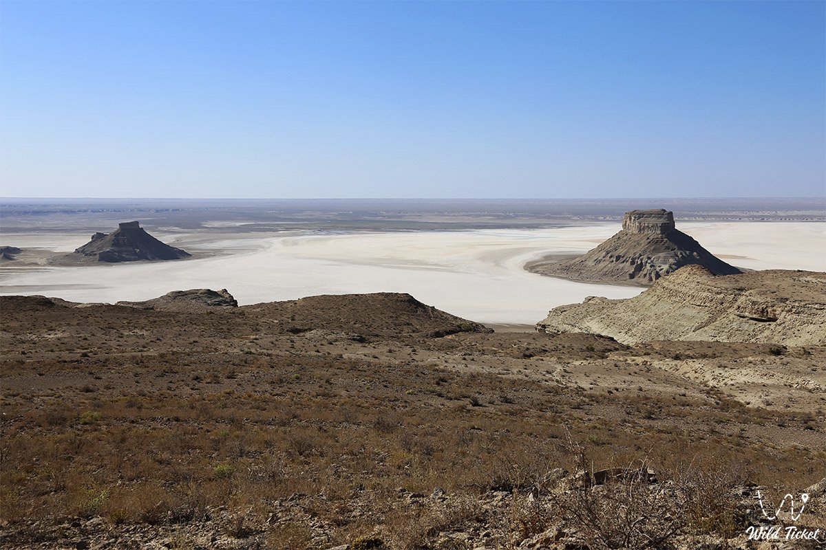
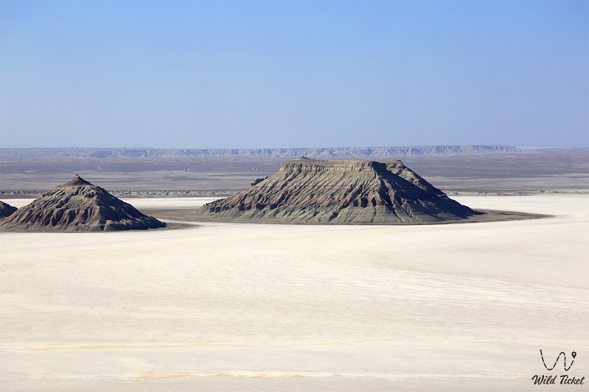
• Karynzharyk Depression and Kenderli Salt Flat – an 85-kilometer basin with a salt desert spanning over 50,000 ha, chalk outliers of Onere ("Three Brothers"), and the dark Karamaya mountain ridge.
• Ustyurt State Nature Reserve – a benchmark conservation sanctuary of the highest protection category covering over 223,000 ha, safeguarding the Ustyurt mouflon, goitered gazelle, and Persian leopard.
• Kenderli-Kayasan Nature Sanctuary – a protected territory of more than 1.2 million ha serving as an international breeding and conservation site for the MacQueen's bustard and saker falcon.
• Senek (Tuyesu) Sand Massif and Dunes – a picturesque sand desert featuring golden dunes 20–30 meters high that directly border the village of Senek.
• Port Kuryk and Caspian Coast – a strategic ferry port on the Caspian Sea equipped with modern logistics infrastructure and the seaside Kenderli resort complex.
• Settlement of Kuryk – the administrative center of the district with over 9,000 residents, a focal point for maritime logistics and coastal services.
Flora and fauna
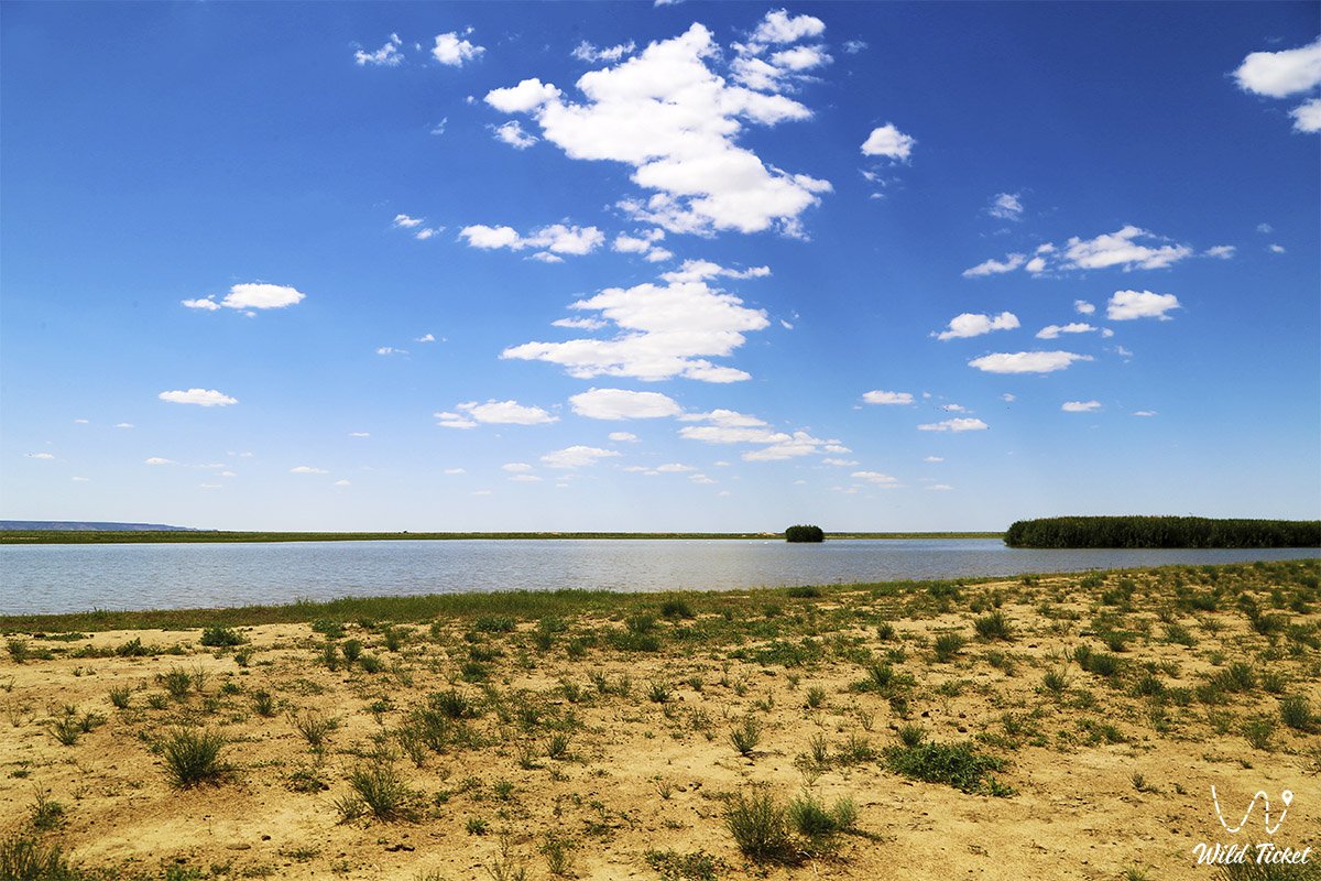
The plant life of the Karakiyan district is represented by arid desert communities, salt-flat halophytes, and psammophytes of sandy massifs. The clay plateaus are dominated by gray-soil wormwood, Lerche's wormwood, biyurgun, boyalych, keyreuk, and teresken. The sandy massifs (Senek, Tuyesu, Karynzharyk) support black and white saxaul, Calligonum, sand acacia, Aristida (selin), and kendir. Specialized halophytic formations of Halocnemum strobilaceum, Kalidium, and Salicornia occupy the floors of salt-marsh basins. Scarp ravines shelter relict Malacocarpus crithmifolius, Atraphaxis, and Crambe edentula. In spring, the plains are briefly blanketed with wild Sogdian tulips, two-flowered tulips, and ephemerals.
The wildlife of the district possesses exceptional richness and includes the rarest Red Book-listed species of Kazakhstan. The steep scarps of the Ustyurt chinks harbor the largest population of the Ustyurt mountain sheep (mouflon/urial). Herds of goitered gazelles and saiga antelopes migrate across the plains, while reintroduction programs for the Asiatic wild ass (kulan) are underway. The Persian leopard, caracal, sand cat, Pallas's cat, honey badger, and marbled polecat are confirmed inhabitants of the protected zones.
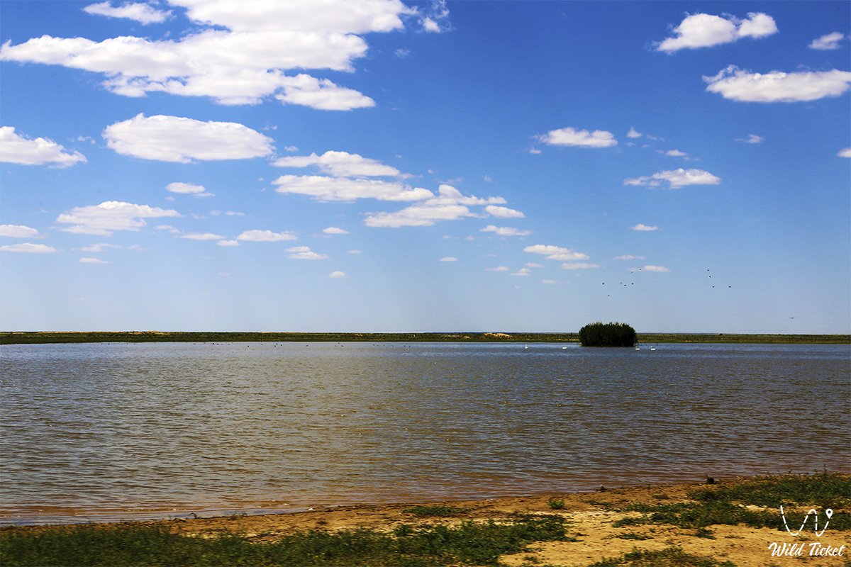
The avifauna includes the MacQueen's bustard, saker falcon, peregrine falcon, golden eagle, steppe eagle, Egyptian vulture, cinereous vulture, and eagle owl. Flocks of greater flamingos, common shelducks, swans, and waders halt along the Caspian coastline and across seasonal vernal salt flats.
The herpetofauna features the desert monitor, Central Asian tortoise, toad-headed and secret toad-headed agamas, steppe agama, sand boa, arrow snake, four-lined snake, and the venomous Halys pit viper. Scorpions, solifuges, and black widow spiders (karakurt) dwell in sandy tracts.
Legend
A noble steppe legend regarding the White Rider and the arrow of Shopan-Ata is linked to the boundless expanses of the Karakiyan district.
Tradition tells that at the dawn of the Islamic era, the great Sufi teacher Khoja Ahmed Yasawi gathered his finest disciples and bade them loose arrows from their bows through the shanyrak of the yurt: "Where each of your arrows strikes ground – there you are destined to preach the light of faith, justice, and compassion among the nomadic tribes!"
The arrow of pious Shopan-Ata flew thousands of leagues across the steppe and struck a white crag near a deep ravine in southern Mangyshlak. Venturing forth in search of his arrow, Shopan-Ata discovered it at the base of a chink beside a centuries-old mulberry tree. Settling among the crags, the elder carved an underground dwelling, healed the ailments of travelers, taught people mercy, and protected flocks of sheep from wolves and winter pestilence.
It is said that here, on the soil of Karakiya, the sacred tradition of the "360 Saints of Mangyshlak" took root. Whenever hostile hordes advanced toward the chink, a White Rider upon a winged tulpar appeared over the Karagiye depression and the chalk peaks of Bozzhira, raising sandstorms and defending the sacred steppe from desecration. Ever since, people believe: whoever crosses the lands of Karakiya with a pure heart walks under the unseen protection of the ancient auliye.
Conclusion
The Karakiyan district is the epicenter of cosmic beauty and untouched wild nature in Mangystau, a realm where cyclopean chalk castles of Bozzhira and the bottomless depth of the Karagiye depression stand beside the mirror of the Kenderli salt flat and ancient Sufi wisdom. An expedition across the Karakiyan district affords the traveler a rare feeling of discovery, revealing intimate secrets of the planet, the sublime majesty of the Ustyurt chinks, and the sacred serenity of ancient Kazakh soil.
Interesting sights nearby:
• Lake Karakol (Home of Greater Flamingos);
• Snow-White Chalk Chinks of the Bozzhira Tract;
• Deepest Endorheic Karagiye Depression (-132 m);
• Multicolored Layered Mount Bokty Outlier;
• Tectonic Karynzharyk Depression with the Kenderli Salt Flat;
• Onere Chalk Outliers ("Three Brothers");
• Karamaya Dark Outlier Mountain Ridge;
• Ustyurt State Nature Reserve;
• Kenderli-Kayasan Nature Sanctuary;
• Senek (Tuyesu) Sand Massif and Dunes;
• Kenderli Seaside Resort Complex;
• Oil Town of Zhanaozen;
• Commercial seaport of Kuryk on the Caspian Sea.
Sacred sights and pilgrimage destinations:
• Beket-Ata Underground Mosque in Oglandy Tract;
• Shopan-Ata Underground Mosque in Karakiyan District;
• Karaman-Ata Underground Mosque and Necropolis;
• Mausoleum of Saint Man-Ata on Manata Pass;
• Shakpak-Ata Rock-Cut Cruciform Mosque;
• Sultan-Epe Underground Mosque and Necropolis;
• Kenty-Baba Necropolis and Underground Mosque;
• Khanga-Baba Necropolis with Ancient Stone Mosque;
• Pantheon of Kazakh Batyrs Sisem-Ata Necropolis;
• Ancient Koshkar-Ata Necropolis;
• Otpan Tau Historical and Cultural Complex on Mount Otpan-Tau;
• Masat-Ata Underground Cave Mosque.
Photogallery: