Journeys from the city of Aralsk to the North Small Aral Sea -
The Barsakelmes tract (historically an island, and later a peninsula in the Aral Sea, also known in pre-revolutionary sources as Suzhok – "waterless") represents a unique geographical and natural phenomenon located in the Aral district of the Kyzylorda region.
The Kazakh name of the area translates as "if you go, you will not return" (in early cartographic sources it was also recorded as Barsa-Keytmes), reflecting the centuries-old harshness and isolation of this plateau, which rises like a blue hill over the plains of the exposed seabed.
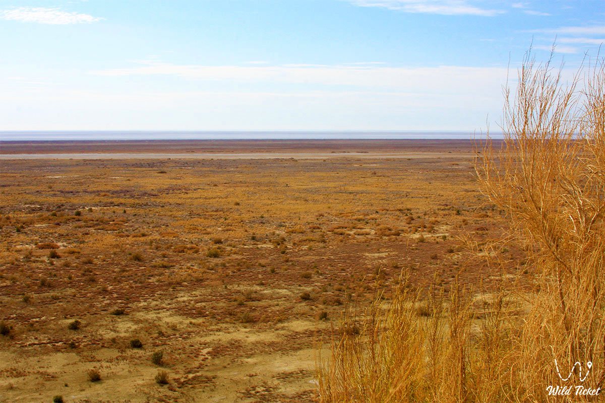
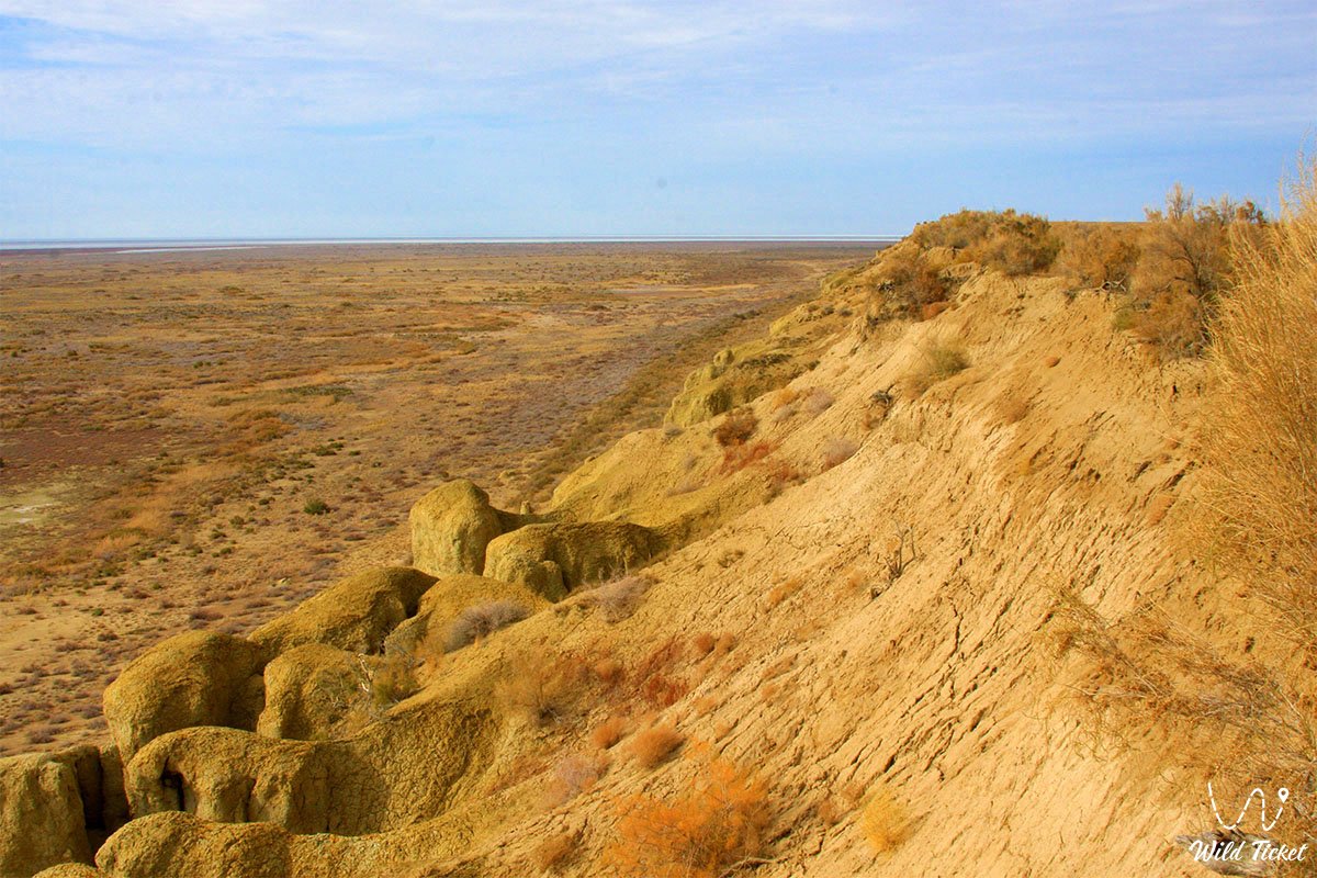
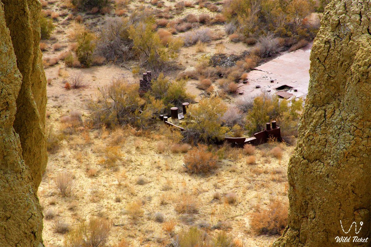
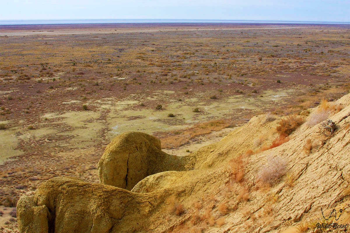
Geomorphologically, the tract represents an elevated table massif composed of Paleogene deposits, marls, and gypsiferous clays, raised above the Aralkum Desert. Before the retreat of the water, the length of the island was about 28 kilometers with a width from 11.5 km in the west to 2.5 km in the east (the total area reached about 180 sq. km).
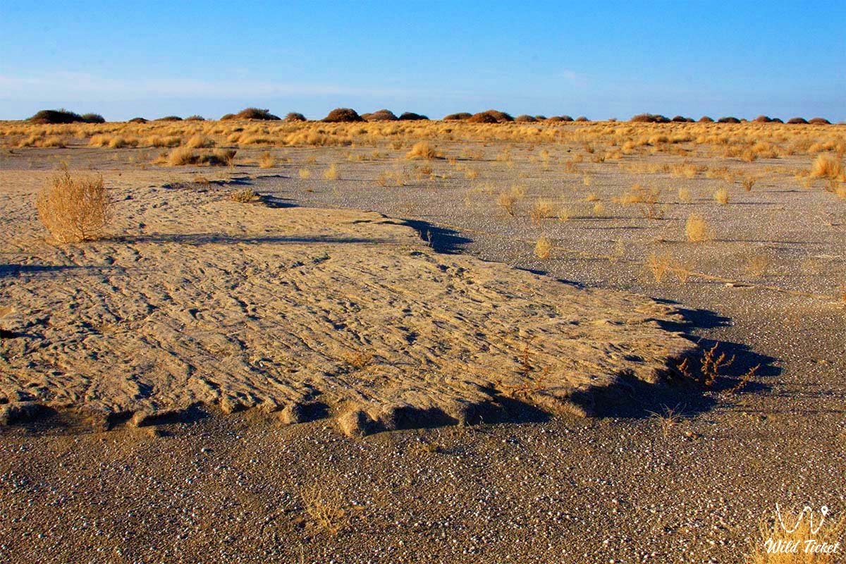
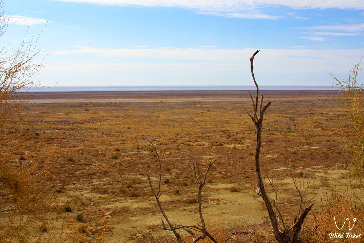
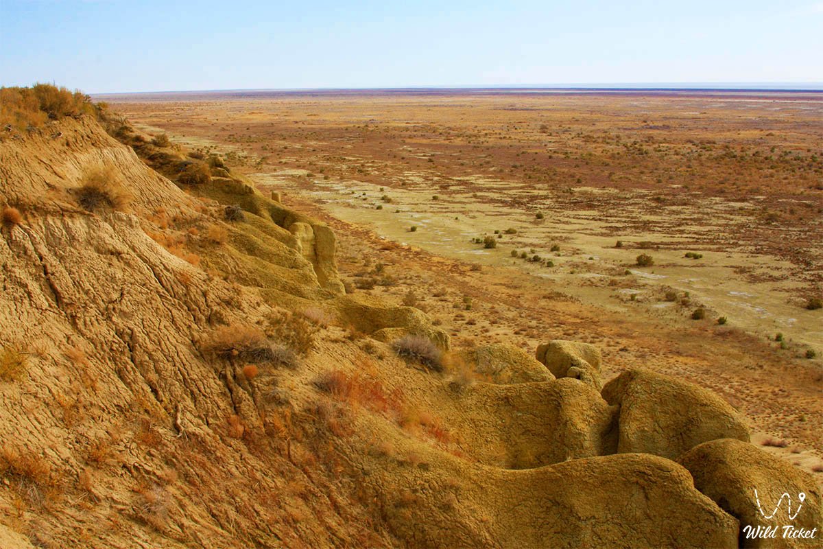
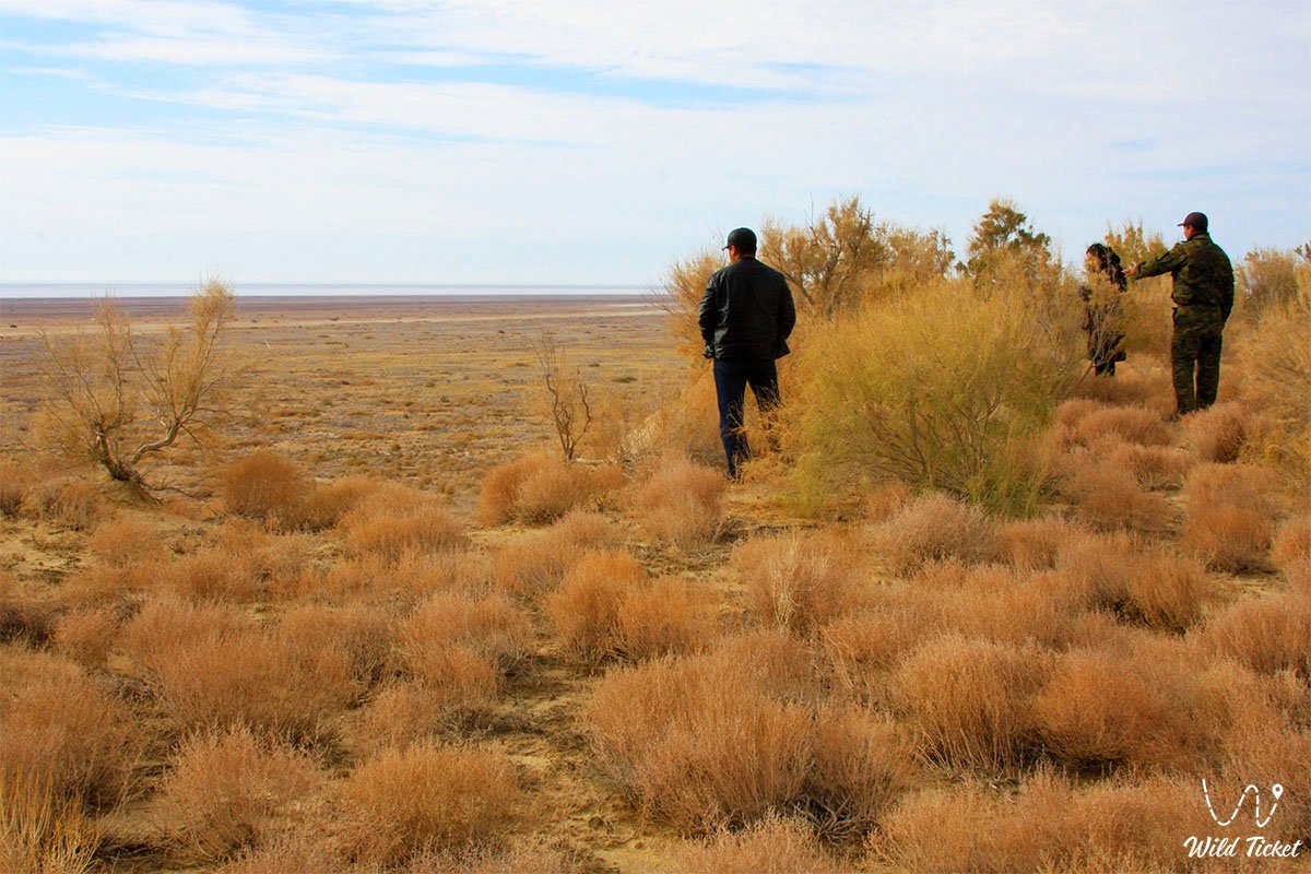
The southern part of the tract breaks off steeply toward the sea with cliffs up to 60–70 meters high (with the highest elevations of the Bayan Plateau and Mount Chaika reaching up to 108–113 m above sea level). The northern part represents a gently undulating accumulative plain with vast sand ridges, relict lagoon salt lakes, endorheic takyrs, and puffy salt flats.
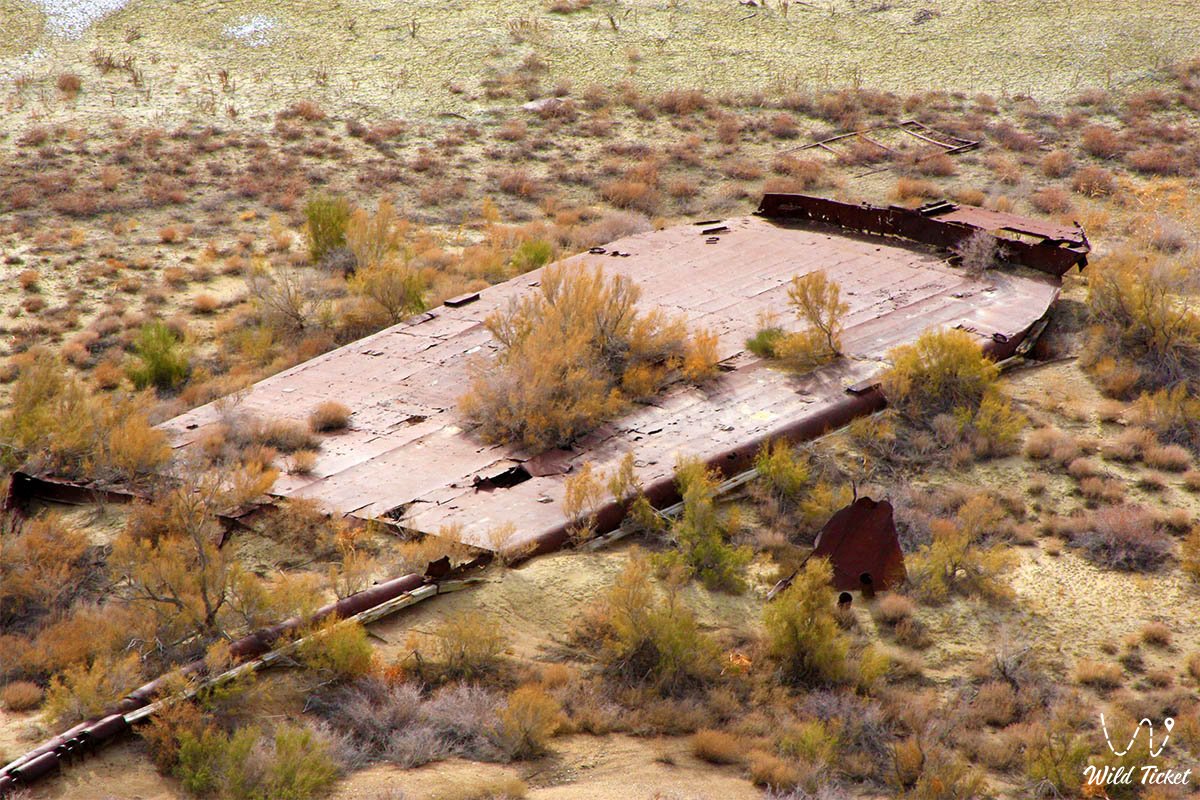
With the catastrophic drop in the level of the Aral Sea, the island merged with the mainland: by the early 2000s, it turned into a peninsula measuring 40 by 16 km, and then definitively transformed into a continental tract. Today, it forms the core of the Barsakelmes State Nature Reserve, founded in 1939.
In 2016, the reserve and adjacent territories with a total area of 407,132 ha (including the protected core of 160,826 ha and wetlands of the delta of the Syr Darya River) were included in the UNESCO World Network of Biosphere Reserves. This is a global natural laboratory where the processes of primary soil formation and the development of desert communities on the saline seabed are studied under extreme climatic conditions.
During the shallowing of the seabed in the tract's territory, fascinating archaeological sites were discovered, such as the ancient Kerderi Mausoleum and near it the ancient Aral-Asar settlement. In the articles, you will find information, view photographs of excavations conducted there, and see artifacts uncovered during those digs.
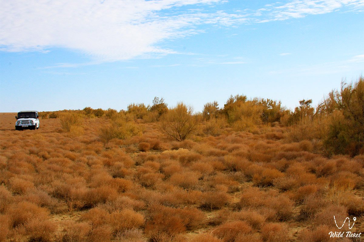
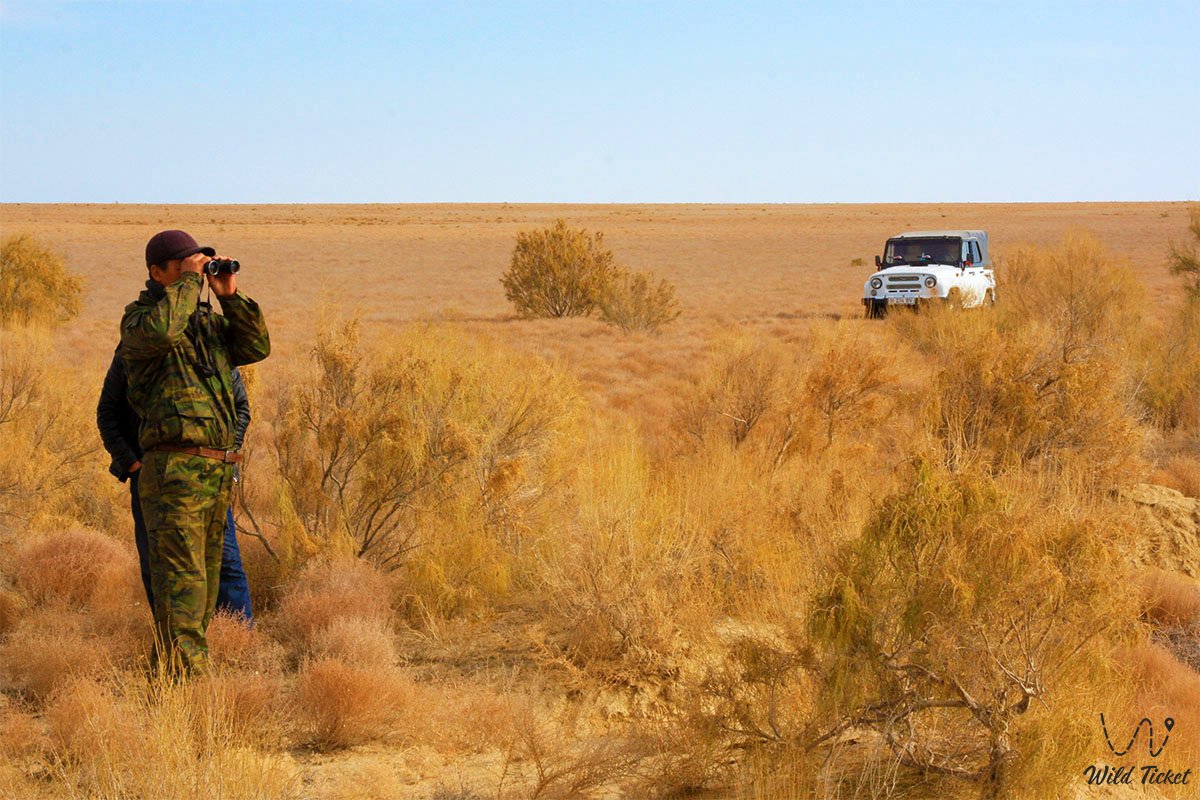
The tract is world-famous for saving the endangered population of the Turkmenian kulan, as well as providing habitats for saiga antelopes, goitered gazelles, birds of prey, and relict Turanian flora. For researchers, biologists, and participants in autonomous 4x4 expeditions, Barsakelmes remains one of the most alluring and mysterious corners of Eurasia.
--------------------------------------------
How to get there and visit -
The Barsakelmes tract is located in the Aral district of Kyzylorda region, Republic of Kazakhstan, approximately 180 kilometers southwest of the city of Aralsk. The expedition route begins in Aralsk, proceeds south along the "Samara – Shymkent" highway (M-32), passes through the villages of Karateren, Zhanakurylys, and Akbasty, and then transitions into a difficult off-road category across the dry seabed.
The second route to the tract runs along the northern part of the Small Aral through the fishing village of Tastubek and Akespe village, where the famous Bystyk-su (Istyk-Su) radon spring is located.
GPS geographical coordinates of the Barsakelmes tract: 45°38'07"N 59°54'30"E
GPS geographical coordinates of the Barsakelmes reserve: 46°13'06"N 60°18'56"E
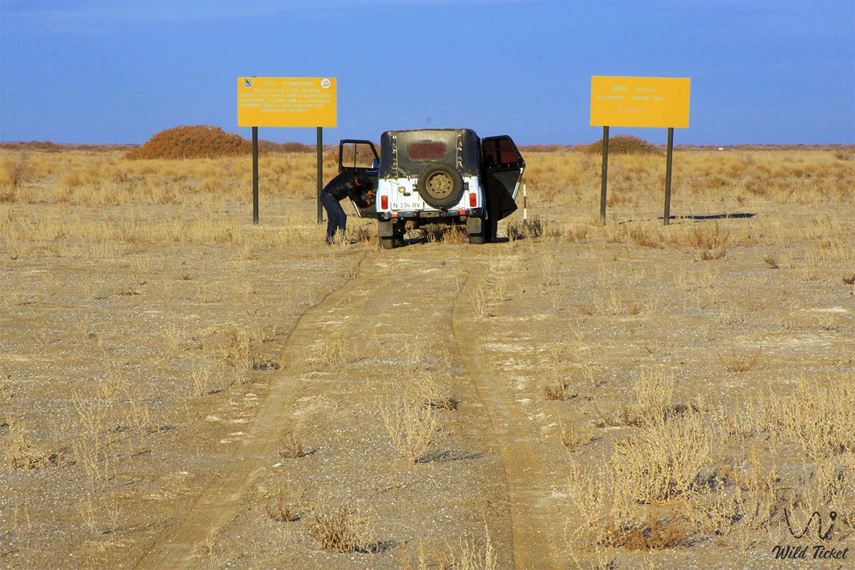
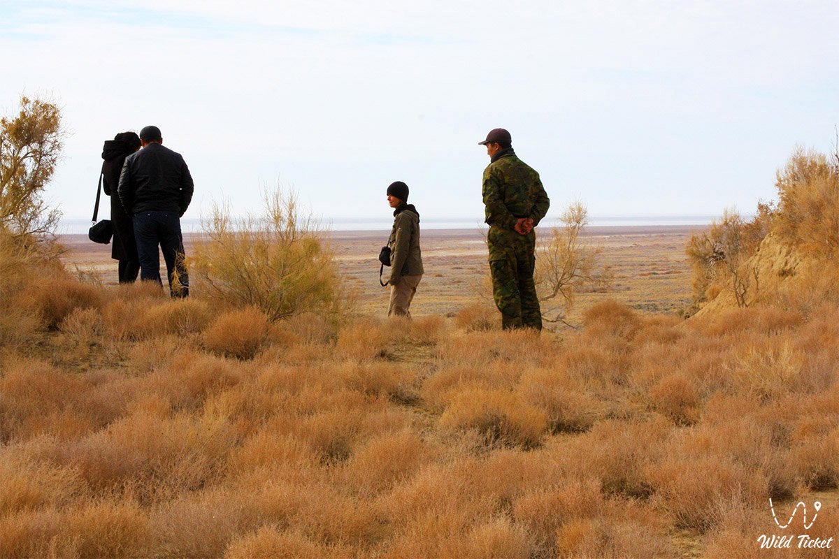
The territory of the tract is part of the protected core of the Barsakelmes Biosphere Reserve (highest category 1A IUCN). Free and unorganized visits are strictly prohibited by the laws of Kazakhstan. Entry is permitted only upon obtaining an official permit through the reserve directorate in Aralsk, strictly accompanied by state inspectors or researchers along approved routes.
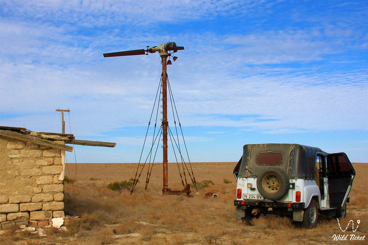
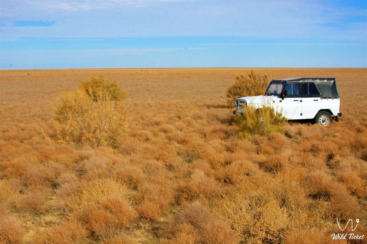
Travel is feasible exclusively in heavy, prepared expedition off-road vehicles (4x4) with high ground clearance, reinforced suspension, mud tires, snorkels, and winches. The primary lethal danger to vehicles is posed by treacherous hidden salt flats (batpaks): beneath a dry salt crust lies deep, liquid mud capable of completely swallowing a vehicle. Additional obstacles include loose sand drifts and deep ruts.
Expeditions are conducted exclusively in a convoy of at least two vehicles. Crews must be equipped with satellite communication, GPS trackers, air compressors, high-lift jacks, sand tracks, a fuel reserve for 600–700 km of autonomous travel, tents, sleeping bags, sleeping mats, insect repellents, and sturdy closed footwear. A drinking water supply of at least 5–6 liters per person per day is critically important: natural groundwater and historic wells up to 75 meters deep yield only salty or bitter water.
The optimal time for trips is spring (mid-April – May) and early autumn (September – October). In summer, temperatures in open areas reach up to +40...+44 °C with a sharp drop in humidity and sand-salt storms, while in winter thermometers drop to -36 °C during ferocious blizzards. However, if desired, it is also possible to travel here in summer.
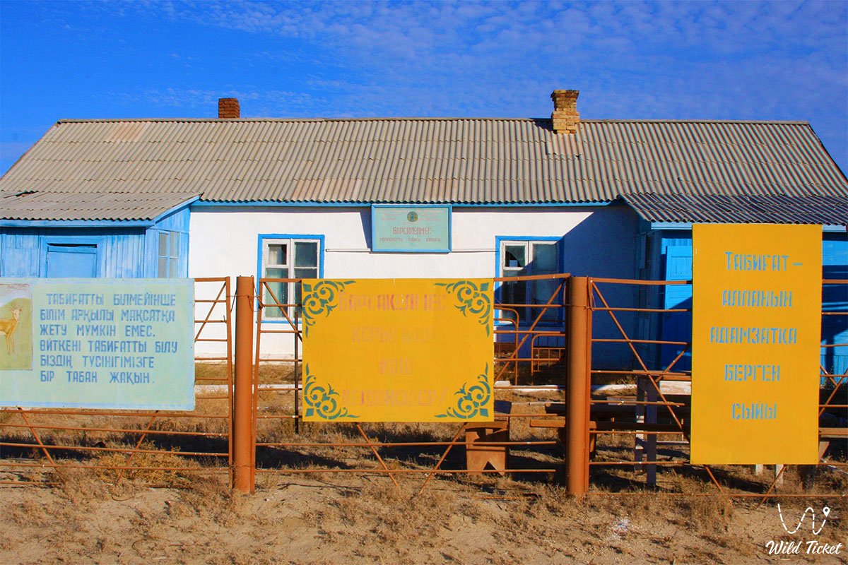
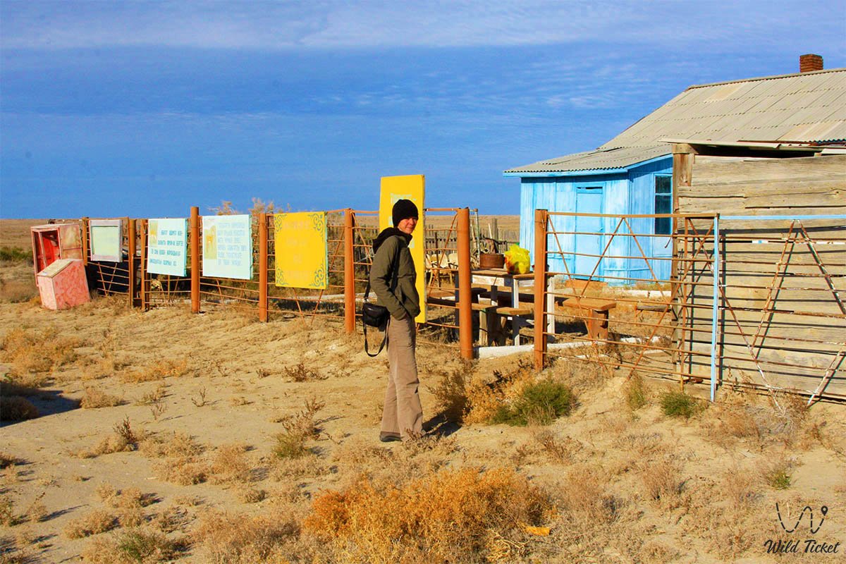
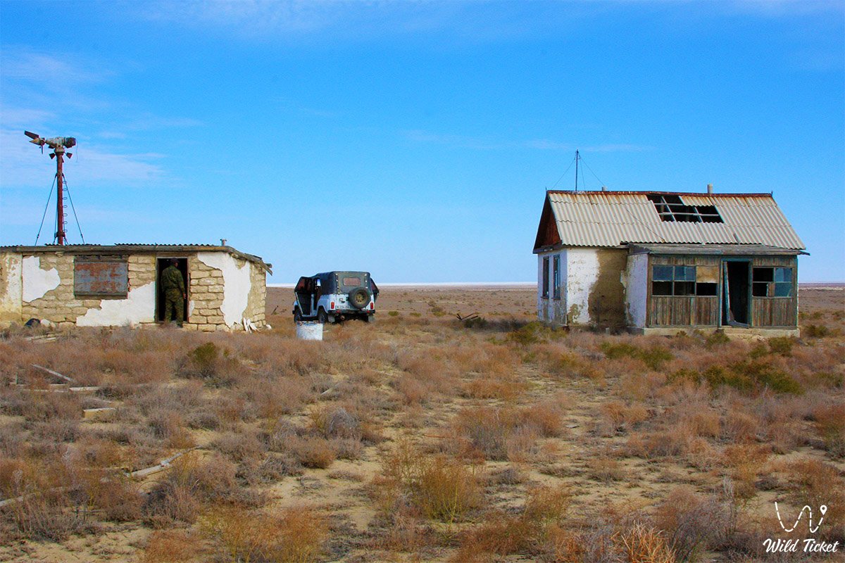
There are no hotels in the tract. Overnight stays are permitted exclusively at ranger stations (Zhamanmurun, Mayak, Central Homestead) or in field camps at approved locations.
--------------------------------------------
History
Geologically, the islands of the Aral Sea became distinct about 20 million years ago, and their definitive isolation by water occurred about 50,000 years ago, when the Aral depression was filled by the mighty flows of the Syr Darya and Amu Darya.
In pre-revolutionary times, the tract served as a temporary refuge for nomadic camps of the Junior Zhuz crossing the straits over the winter ice. According to archival records, until the mid-19th century, Kazakhs lived on the island for six consecutive years grazing livestock, but in the winter of 1847–1848 they retreated to the mainland; remains of their dwellings have survived on the northern cliffs. In the spring of 1914, families from the neighboring island of Kaskakulan moved here. Before the 1917 revolution, a fish merchant from the Ural Cossacks nicknamed Petka conducted business here: his workers dammed a ravine, creating the seasonal reservoir "Petkinkul", and built a wooden pier in the northwest.
The island was first mapped in 1831 by geographer A. I. Levshin under the name "Barsa-Keytmes". The first comprehensive scientific study took place in August 1848 by the hydrographic expedition of Lieutenant Commander Alexei Ivanovich Butakov on the sailing-motor schooner "Konstantin". Butakov conducted depth soundings, officers A. I. Maksheev and A. A. Akishev compiled topographic maps, and the exiled poet and artist Taras Shevchenko, contrary to the tsarist ban on writing and painting, created a unique album of watercolors and sketches of the coast, for which Butakov received a reprimand. The convenient harbor at Zhamanmurun was later named Cape Butakov upon the proposal of Academician L. S. Berg, who surveyed the island in July 1900.
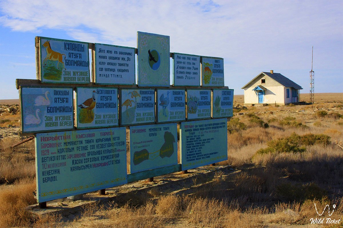
In 1929, the "Soyuzpushnina" trust created a commercial game reserve: saiga antelopes, goitered gazelles, pheasants, partridges, and yellow ground squirrels were introduced, and a homestead and a network of meltwater collectors (buguty) were built. On December 10, 1939, the Barsakelmes State Nature Reserve was founded by decree of the Council of People's Commissars of the Kazakh SSR.
A historic triumph occurred in 1953, when 9 individuals of the Turkmenian kulan were brought to the island from the Badkhyz Reserve, saving the species from complete extinction in Kazakhstan (the last native kulan died in 1936).
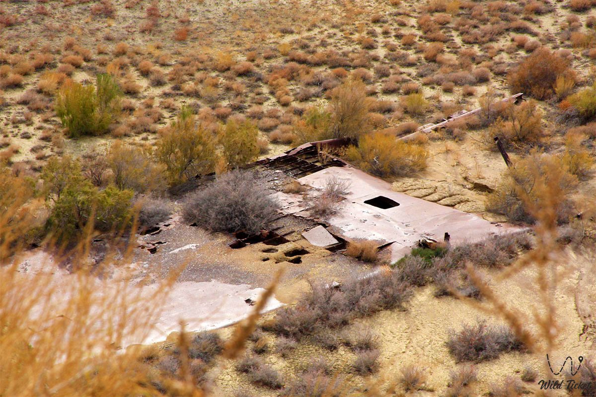
The catastrophic drying of the Aral Sea from the 1960s onward destroyed the ecosystem: freshwater reservoirs dried up, and between 1982 and 1991 zoologists evacuated more than 250–260 kulans to the "Altyn-Emel" park, Betpak-Dala, and the Ustyurt Plateau. In 1997, the island became a peninsula, and by the early 2000s it permanently joined the mainland. In 2000, on the exposed seabed near the tract, archaeologists discovered Golden Horde monuments from the 11th–14th centuries: the Kerderi I mausoleum, 2.3 m high, made of fired brick with glazed tiles, the Kerderi II mausoleum, and the ruins of the Aral-Asar settlement on the route of the Great Silk Road. In 2005, the protected lands were expanded to 160,826 ha, including the continental Kaskakulan sector with active artesian wells.
Information
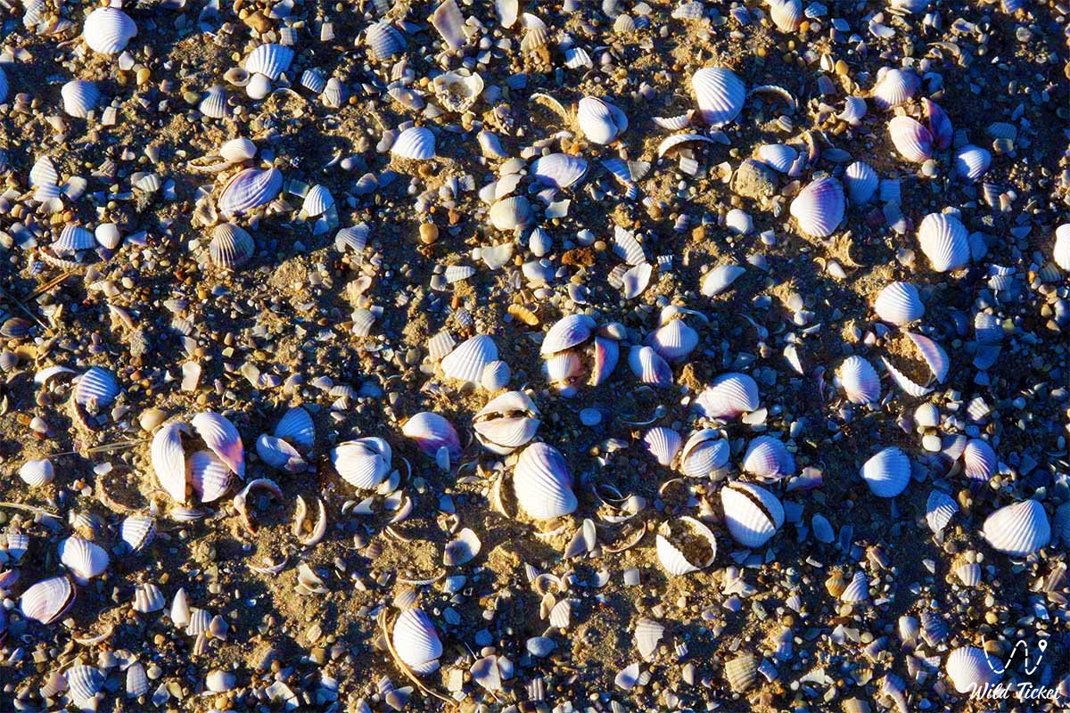
The landscape of the tract is formed by an ancient bedded-denudation plain. The main massif is composed of gravelly-clay soils, greenish Oligocene clays of the Chegan formation with shells of fossil mollusks, and quartz sandstones. In the south, the cliffs drop down to the drained seabed with ledges up to 60–70 meters high.
The most acute problem of the tract has always remained the absence of permanent sources of drinking water. The only historical well in the sands of the northern part yielded fresh water of unknown hydrological origin, while during the rest of the time settlers prepared sea ice: in winter it was placed in underground ice pits, where under its own weight the ice compacted and desalinated, draining off the brine. Today, animals survive by migrating to the artesian wells of the Kaskakulan section.
The tract plays a key role in global arid limnology and geobotany. Scientists from the International Fund for Saving the Aral Sea (IFAS), the Kazakhstan National Committee for MAB, and the Korkyt Ata Kyzylorda University conduct comprehensive monitoring here of primary plant successions and faunal adaptation to the toxic sand-salt storms of the Aralkum Desert.
Detailed description of the venue
The natural-memorial complex of the Barsakelmes tract includes a number of historical and geographical landmarks:
• Bayan Plateau and Mount Chaika – the elevated table section of the island with panoramic views of the salt marshes of the drained seabed.
• Cape Butakov (Zhamanmurun) – the rocky southwestern ledge of the cliff ("bad nose") with a steep descent, the historic harbor of the schooner "Konstantin".
• Kebirsay Tract – a deep valley depression at the edge of the plateau with bluffs of reddish and greenish puffy clays (badland "bad lands").
• Segizsay Tract ("eight ravines") – a picturesque green oasis of ravines with diverse herbs, jhingil bushes, and ancient black saxauls.
• Karagansay Tract – a ravine 4 km from the Central Homestead, overgrown with caragana with fragrant yellow flowers, a traditional pasture.
• Dzhingildykul Takyr – a rounded clay depression that fills with meltwater in spring, a traditional lambing ground for saiga antelopes.
• Alievsky, Dzhedybaevsky, and Ogorodny Buguty – artificial ravine reservoirs that retained meltwater runoff among blooming tamarisks.
• Akhmetov Yar – a coastal cliff west of the homestead, named after a Soviet meteorologist of the 1940s.
• Saiga Yard – a gentle lowland behind the dunes where the first introduced saiga antelopes were released in 1929.
• Nikolaevskaya Dugout – a mound on the plateau commemorating hunter N. Rozhdestvensky, who died in the Great Patriotic War.
• Eastern Sand Spit and "Mayak" Area – a sharp sand shoal where an old navigational lighthouse once stood, later replaced by a weather station.
• Small and Large Salt Lakes – dried-up relict lagoons whose puffy white beds serve as resting grounds for antelopes and a source of salt dust.
• Golden Horde Monuments Kerderi I, Kerderi II, and the Aral-Asar Settlement – medieval archaeological complexes of the 11th–14th centuries on the seabed.
Flora and fauna
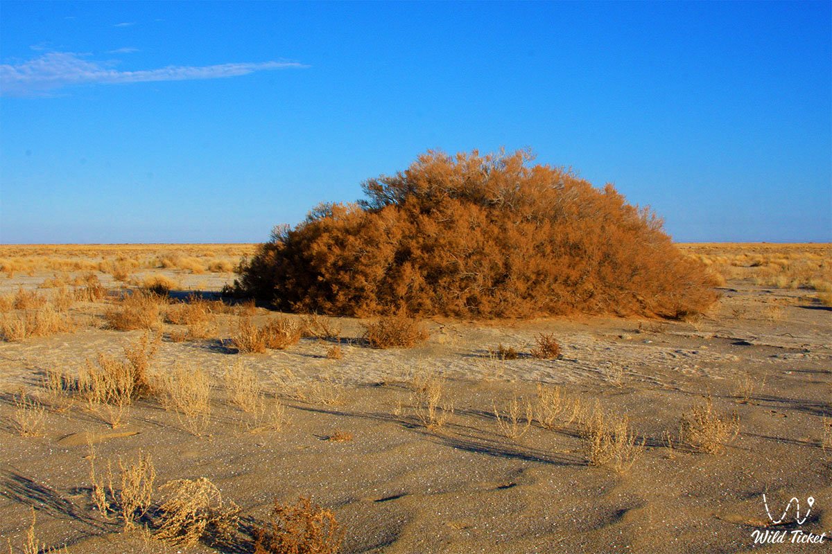
The vegetation cover of the tract numbers up to 278 species of higher vascular plants. Zonal flatlands are covered with wormwood-saltwort communities (Aral wormwood, broom wormwood, salt-marsh biyurgun, itsegek). Black saxaul (Haloxylon aphyllum), white saxaul, dzhuzgun (Calligonum – 16 species), Atraphaxis, and tamarisk dominate on the sands. The Red Book of Kazakhstan lists the rare ornamental Borshchov's tulip, the two-flowered tulip, and the endemic Pratov's saltbush.
The animal kingdom is rich and adapted to extreme stresses. Twenty-seven species of mammals inhabit the territory: free herds of the Turkmenian kulan, saiga antelopes, goitered gazelles, steppe wolves, corsac foxes, badgers, marbled polecats, long-eared hedgehogs, tolai hares, and yellow ground squirrels. The rare pygmy jerboa and the thick-tailed pygmy jerboa are also found.
The avifauna includes more than 170–178 bird species: the houbara bustard, black-bellied and white-bellied sandgrouse, Pallas's sandgrouse, pale-backed pigeon, steppe eagle, golden eagle, long-legged buzzard, peregrine falcon, and saker falcon. During migrations and in delta channels, the Red-listed Dalmatian pelican and little egret are found.
The herpetofauna numbers 12 reptile species: the plate-tailed gecko with large eyes, the toad-headed agama, the steppe tortoise, the sand boa, and the swift arrow snake. Among venomous snakes, Pallas's coluber reaches lengths of 70 cm. The entomofauna includes arachnids (mottled, Caucasian, and dangerous black scorpions), as well as the Red-listed dark-winged grasshopper and pierid butterfly.
Legend
The name Barsakelmes gave rise to dramatic folk tales. An ancient legend tells of several Kazakh families who fled inter-tribal strife across the winter ice to the distant blue hill in the sea. They spent the winter in dugouts, but a spring hurricane broke the ice, cutting off the path back, while the summer sun dried out all fresh snow pits on Suzhok. All the fugitives and their herds perished of thirst, and relatives who arrived a year later found only dust-covered remains of yurts.
Another legend echoes the Kazakh epic of batyr Kobylandy, who spent three days on the enchanted island, only to return home and discover that 33 years had passed in the steppe.
In Soviet times, the island became overgrown with myths of an "anomalous zone": tales circulated of a dense white fog erasing memories, a 1935 topographic expedition returning after three months instead of three days, escaped prisoners aging by decades, flying prehistoric pteranodons, and the elder Abdirazak contacting the cosmos from a yurt.
In 2002, the well-known science fiction author Sergei Lukyanenko, in his publication "Koblandy-Batyr and Barsa-Kelmes", openly admitted that in the mid-1980s he and his fellow enthusiasts launched these hoaxes, tricking the magazine "Tekhnika – Molodezhi". The island also became the setting for Boris Lavrenyov's classic novella "The Forty-First" (1924), Jonrid Abdullakhanov's trilogy novel, the children's book by Zira Naurzbayeva and Liliya Kalaus "The Adventures of Batu and His Friends in the Land of Barsakelmes", and was mentioned in the film "Dreams of an Idiot".
Conclusion
The Barsakelmes tract is a stern and majestic symbol of the Aral Sea region, clearly demonstrating the scale of planetary transformations and the resilience of living nature. Having evolved from a remote sea island into an elevated plateau in the middle of the sand-salt Aralkum Desert, the tract has preserved a unique biocenosis and its status as a benchmark UNESCO Biosphere Reserve.
An expedition to the cliffs of Barsakelmes reveals a grandiose expanse to explorers, where ancient caravan routes of the Silk Road and the Kerderi mausoleums meet the primordial silence of the steppe, calling on humanity to protect the planet's fragile natural balance.
Interesting sights nearby:
• Aral Geopark;
• Kokaral Dam;
• Butakov Bay;
• Shevchenko Bay;
• Aralkum Desert (dried seabed);
• Ayteke Bi Village;
• Basibek Mausoleum;
• Raim Fort;
• Tolybay Batyr Mausoleum;
• Saraman-Kosa Tower;
• Begim-Ana Tower;
• Bogen Village;
• Lake Kamystybas (Kambash);
• Baikonur Cosmodrome.
Additional Information:
• Barsakelmes Nature Reserve;
• Barsakelmes Island;
• History of Barsakelmes Island;
• Climate of Barsakelmes Nature Reserve.
Photogallery: