Maritime gateway of Southern Mangyshlak and strategic Caspian ferry hub –
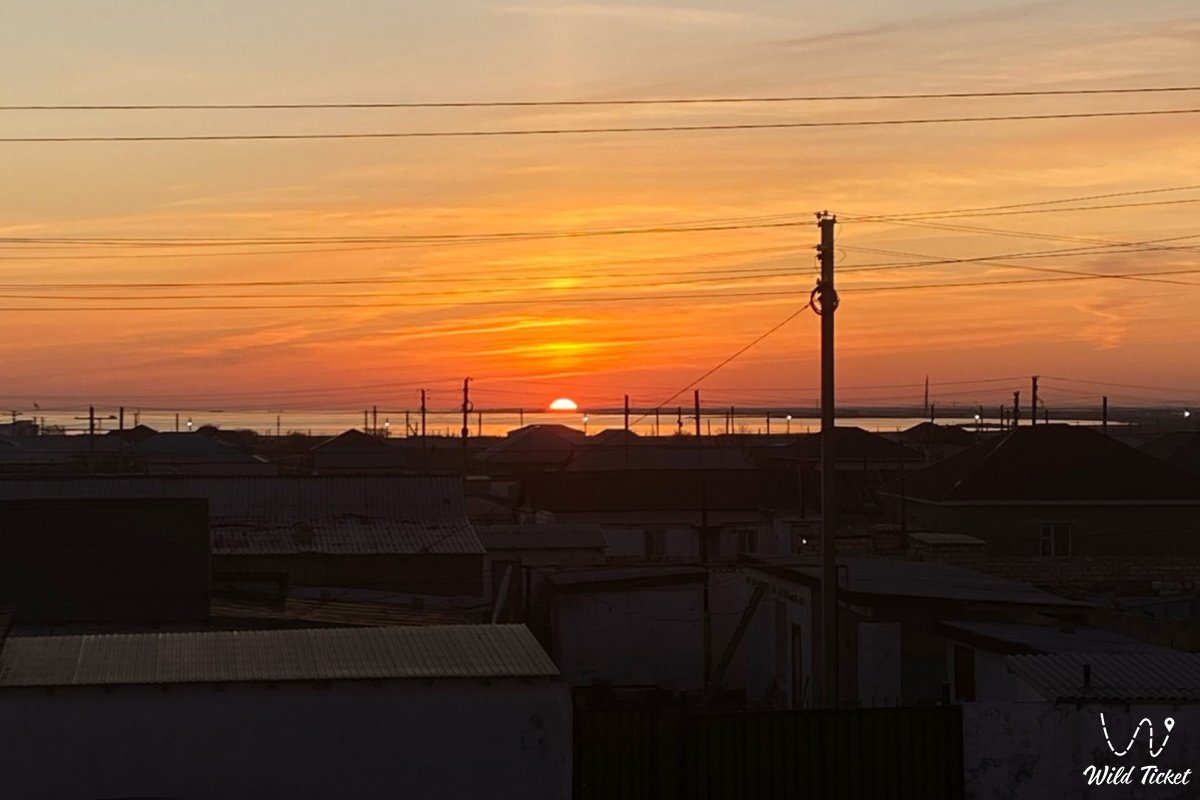
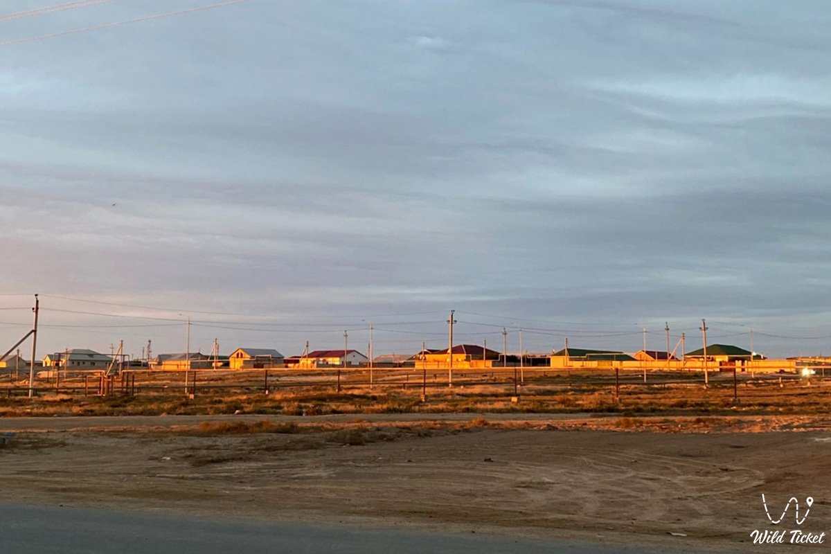
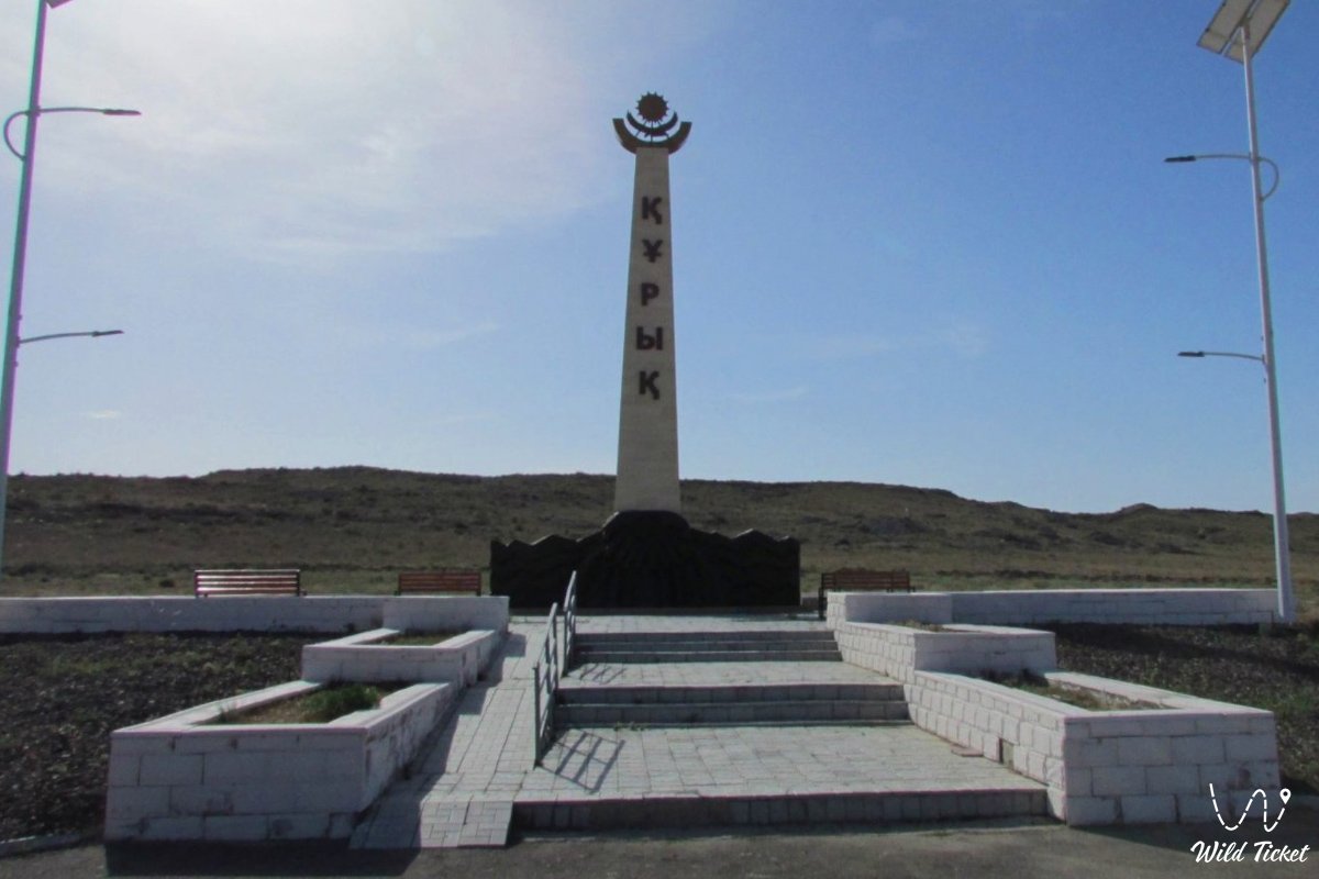
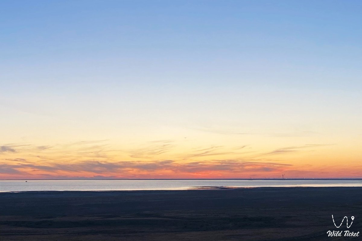
The Village of Kuryk (Kaz. Quryq, known before 1993 as the settlement of Yeraliyev or Yeraliyevo) represents a seaside locality, the administrative center, and the sole inhabited place of the Kuryk rural district of the Karakiyan district in Kazakhstan. The village is situated in the southwestern part of the Mangyshlak Peninsula on the shores of Aleksandrbay Gulf within the natural bay of Kuryk, approximately 70–80 kilometers south of the regional center Aktau. The village population exceeds 9,000 residents.
In the travel and expedition geography of the region, the village of Kuryk serves as a pivotal base and connecting hub between coastal and overland itineraries. Just a few dozen kilometers northeast of the village lies Kazakhstan's deepest dry basin – the Karagiye depression (-132 meters below sea level) with the Batyr salt flat. South of Kuryk along the Caspian shore stretch the Kenderli resort zone, scenic Cape Tokmak, and a thermal radon spring.
Heading east through the oil city of Zhanaozen opens the route toward the Senek (Tuyesu) sand dunes, the stepped scarps of the Kenderli-Kayasan Plateau, the Kenderli-Kayasan sanctuary, the Basgurly – Zhazgurly depression system, as well as the chalk cliffs of the Bozzhira tract, the banded Mount Bokty, the Karynzharyk depression, and the Ustyurt Reserve.
The entire littoral belt was shaped by the geological chronicle of the ancient Tethys Ocean and Late Quaternary marine terraces of the Caspian. The settlement originally arose in the late 19th century as a coastal fishing village nestled inside Aleksandrbay Gulf, naturally shielded from heavy seas. During the Soviet period, the village evolved into an operational base for tapping the hydrocarbon wealth of Mangyshlak and was named Yeraliyev in honor of party figure Shakhvalad Yeraliyev. In 1993, the locality regained its historical name Kuryk (Kaz. "quryq" – a long flexible pole fitted with a horsehair noose used for catching horses in a herd, which metaphorically mirrors the curved shape of the sandspit enclosing the harbor from open breakers).
Near the village, the singular Oymasha oil and gas field is actively worked, notable for hydrocarbon deposits found directly within crystalline granite basement rocks. Adjacent to Kuryk stands the republic's first shipyard – the shipbuilding yard of "ERSAI Caspian Contractor."
The village gained global transport prominence through its ultra-modern ferry complex at Port Kuryk, integrated into the multimodal transit corridor China – South Caucasus – Europe (Trans-Caspian Corridor). Round-the-clock ferry sailings transport rail rolling stock, wheeled vehicles, and passengers across the sea to the Port of Alat in Baku.
Today, the village of Kuryk successfully blends the duties of an administrative center for Mangystau, an industrial and logistical maritime outpost, and an accessible jumping-off point for road journeys across the Karakiyan district.
--------------------------------------------
How to get there and visit –
The village of Kuryk is situated on the eastern shore of the Caspian Sea, in Aleksandrbay Gulf. The distance from the city of Aktau along the paved motorway is around 70–80 km, from the city of Zhanaozen it is roughly 120–130 km, while the Yeraliyev railway station on the mainline Beyneu – Zhanaozen sits only 11 km away.
GPS geographical coordinates of the center of Kuryk village:
43°10'44"N 51°40'41"E
The route from Aktau leads south along the paved republican highway Aktau – Kuryk. The well-surfaced road is maintained year-round, requiring a drive of 50–60 minutes in a standard passenger automobile. Scheduled suburban bus services and shared route taxis run regularly between Aktau and Kuryk (departing from the bus depot and regional transit hubs of the capital).
The route from Zhanaozen follows paved roads passing through the settlements of Munayshy and Zhetybay, or along a dedicated highway connecting Zhanaozen directly with Port Kuryk.
The transportation hub of Kuryk links into the national railway network via the Borzhakty – Yersay rail line, constructed to handle container cargo bound for Europe and the dry port of the "Khorgos – Eastern Gate" Special Economic Zone. An airstrip for regional flights is established near the village for emergency medical and industrial air services.
For off-road groups organizing before autonomous excursions into Karakiya's wild tracts, the village provides a full set of essentials: fuel tanks and jerrycans can be filled at gas stations, food supplies replenished, potable water stocked, and vehicles inspected.
Further radial trips along the coastline toward Cape Peschany or onto unpaved tracks skirting the Karagiye depression require a prepared body-on-frame 4x4 vehicle with ample clearance and all-terrain (AT) tires.
Infrastructure within the village includes a district historical and regional museum, a community cultural center, schools, kindergartens, an outpatient clinic, a district hospital (which historically used local hot mineral waters), brand-name pharmacies, bank branches, ATMs, grocery supermarkets, a local bazaar, and canteens serving national cuisine. Both 3G and 4G mobile coverage from Kazakhstan's major providers operates reliably across the village and the harbor waters.
Access to the residential zone of the village is open and does not require specialized permits. However, the ferry terminal and marine shipyard represent restricted-access sites with security checkpoints; carrying an original passport or identity card is necessary when navigating port roads and border areas.
The best season to visit runs from May through late September: this window offers sunny coastal weather well suited for beach recreation along the Caspian, fishing, and day trips across the district. Spring (April – May) is prime for witnessing the blooming desert, whereas early autumn (September – October) delivers comfortable conditions for off-road expeditions without oppressive summer heat.
--------------------------------------------
History
The history of this settlement on the shores of Aleksandrbay Gulf reaches deep into the past. Sheltered from gale-force winds by natural sandspits, this oval cove was used by Caspian nomads and coastal fishermen from ancient times as a secure harbor for boats and fish harvesting.
At the end of the 19th century, a permanent fishing settlement emerged here. Its inhabitants conducted year-round fishing for sturgeon and seal hunting, while also servicing camel caravans traveling along the coastal margin of Mangyshlak.
During the Soviet era, the settlement's trajectory shifted markedly with the onset of industrial hydrocarbon prospecting. In 1962, the locality was reorganized into a workers' settlement and named Yeraliyev in honor of Soviet state and revolutionary figure Shakhvalad Yeraliyev. The town became an operational forward base for hydrogeological and geophysical teams exploring the subsoil of Southern Mangyshlak.
In 1973, it achieved administrative center status for the newly established Yeraliyev district. Local sanatorium facilities made regular use of subterranean hydrothermal springs carrying hot mineral waters to treat joint and skin ailments.
In 1993, by resolution of the authorities of independent Kazakhstan, the locality regained its historic name as the village of Kuryk, while the district was renamed Karakiyan.
The 21st century initiated a major industrial and maritime renewal of the area. A massive offshore shipbuilding yard was launched by "ERSAI Caspian Contractor," fabricating heavy structural steel elements and barges for offshore developments at Kashagan and Tengiz. In December 2016, rail ferry operations commenced between Port Kuryk and Alat Port in Baku, followed in August 2018 by the commissioning of the second phase featuring an automobile ferry terminal, which completed the global transit corridor from China through Kazakhstan to the Caucasus and Europe.
Information
Geomorphologically, the village territory sits upon an abrasional-aggradational coastal marine terrace plain of Aleksandrbay Gulf, shelving gently toward the oval basin of Kuryk Bay. Shoreline elevation readings measure roughly -28 meters below global sea level, rising inland eastward across continental terraces to +15...+35 meters. The shorefront is shaped by coastal storm berms, sandy bars, and wind-scoured depressions.
The geological foundation reveals Mesozoic and Cenozoic marine strata of the ancient Tethys Ocean, capped by a Quaternary mantle of Khvalynian and Neo-Caspian marine terraces. The underlying bedrock consists of dense slabs of Sarmatian coquina limestones, marls, and clays, over which modern sand-and-shell gravels, loams, and windblown sands rest. The spit enclosing the bay was created through longshore drift driven by bottom currents and wind waves.
Soil cover around the locality consists of gray-brown desert solonetzic soils interspersed with salt flats and stretches of littoral sands. Enclosed micro-depressions exhibit takyr-like horizons marked by surface desiccation cracks.
Hydrological conditions are governed by the marine regime of the Caspian Sea. Kuryk Bay benefits from natural depths (reaching 8–10 meters along the fairway channel) and regular water circulation, preventing the harbor from freezing over even during cold winters and allowing year-round navigation. Permanent surface freshwater streams are absent. Drinking water for the settlement is supplied via the "Astrakhan – Mangyshlak" pipeline delivering Volga water, supplemented by local desalination facilities and deep artesian wells. Subsurface strata yield highly mineralized thermal waters enriched with radon and bromine salts.
Climatic conditions belong to the arid desert type, softened by the marine proximity of the Caspian basin. Average January temperatures range from -2 to -5 °C (with storm winds gusting to 20–25 m/s), while average July temperatures reach +28...+32 °C with daytime peaks hitting +40...+42 °C. Total precipitation does not exceed 130–150 mm annually against elevated seaside humidity and steady coastal breezes.
Detailed description of the venue
The grounds and surrounding area of Kuryk village encompass the following functional zones, architectural complexes, and infrastructural focal points:
• Kuryk Bay and Aleksandrbay Gulf coastline – a natural marine harbor with sand-and-shell beaches, protected from open Caspian storm waves by an elongated sandspit.
• Port Kuryk ferry terminal complex – an advanced multimodal port featuring two rail ferry berths, a roll-on/roll-off truck pier, breakwaters, a customs terminal, and logistics warehousing.
• ERSAI shipbuilding shipyard – an offshore industrial engineering cluster equipped with moorings, fabrication workshops, and dry construction berths for fabricating offshore barges and drilling modules.
• District Historical and Regional Museum – a village cultural institution preserving ethnographic displays of Aday nomadic life, artisanal fishing tackle, relict maps, and archives from pioneering geologists.
• Central administrative quarter – a civic core containing the district akimat, Independence Square, monuments to notable Mangyshlak figures, the House of Culture, and landscaped public gardens.
• Historic Yeraliyev residential quarter – mid-20th-century residential quarters built from cut coquina blocks, reflecting the legacy of petroleum pioneers and balneological clinics.
Flora and fauna
Plant life around the settlement consists of sparse halophytic and psammophytic coastal desert vegetation. Beach berms and shell ridges support Russian saltwort, sea rocket, feather grass, saltbush, and clusters of tamarisk (saltcedar). Surrounding clay-gravel plains are dominated by dwarf shrubs: gray-soil wormwood, Lerche's wormwood, Anabasis salsa (biyurgun), boyalych, eastern saltwort, and Krascheninnikovia (teresken). Sandy hummocks shelter black saxaul and Calligonum (dzhuzgun). In spring, roadside flats are briefly colored by ephemerals, wild Sogdian tulips, and desert alliums.
Fauna brings together the marine shelf life of the Caspian and denizens of the coastal steppe. Inside Kuryk Bay, the endemic Caspian seal is regularly sighted pursuing schools of fish. Coastal shallows support commercial fish species: Caspian mullet, wild carp, Caspian roach, pike-perch, bream, and herring, alongside anadromous sturgeon (stellate sturgeon, Russian sturgeon, beluga).
Birdlife along the shoreline includes colonies of Caspian gulls, Pallas's gulls, common terns, waders, grey herons, common shelducks, Eurasian coots, mallards, and great cormorants. During spring and autumn migrations, flocks of whooper swans, mute swans, and greater flamingos rest on the open waters of Aleksandrbay Gulf.
Among terrestrial mammals in the scrub desert beyond town borders, the corsac fox, tolai hare, long-eared hedgehog, steppe polecat, small five-toed jerboa, and midday gerbil are common. Goitered gazelles occasionally wander in from the scarps of the Karagiye depression.
Reptiles include the agile steppe agama, toad-headed agama, sand boa, arrow snake, dione snake, and four-lined snake. Tarantulas, solifuges, and scorpions inhabit sandy ridges.
Legend
The origin of the name Kuryk is linked to an ancient Kazakh legend concerning the Batyr Horse-Herder and the Sea Tempest.
Tradition tells that in nomadic times, a fearless young horseman lived along the shores of Aleksandrbay Gulf, possessing a gift for calming the wildest horse herds. His trusted tool was a sacred kuryk – a long pole fitted with a horsehair loop, handed down through generations of his family.
One night, a monstrous sea dragon – the spirit of dark oceanic tempests – rose from the deep, driving breakers higher than the coastal cliffs. The surging waters threatened to drown nomadic camps and swallow herds of beloved horses. Seeing the danger facing his kin, the horseman stood at the brink of the cliff facing the crashing surf, swung his mighty kuryk, and cast the horsehair loop directly into the tempestuous waves, snaring an underwater crag.
Throughout the night, a contest raged between human resolve and elemental fury. The batyr anchored the pole with both hands, bracing his feet against coastal stones until the storm finally broke at dawn. In the morning, camp members came to the shore and found that the batyr's pole and loop had turned to eternal stone, creating a narrow rocky sandspit that walled off a tranquil harbor from the violent sea.
Ever since, this sheltered haven has been called Kuryk, and nomads began building permanent winter quarters here, confident that the warrior's stone loop would safeguard vessels anchored in the bay and people living on its shores.
Conclusion
The village of Kuryk is the primary maritime outpost of Southern Mangyshlak, joining the working history of regional oil development with the power of modern transcontinental shipping routes on the Caspian Sea. For travelers, the village serves as a comfortable starting base for routes across the Karakiyan district, where the freshness of sea air blends with the warmth of steppe hospitality and the grandeur of the wild nature of ancient Mangyshlak.
Interesting sights nearby:
• Ferry terminal of the international Port Kuryk;
• Kuryk Bay and the shores of Aleksandrbay Gulf;
• Deepest Endorheic Karagiye Depression (-132 m);
• Kenderli Resort Complex on the Caspian Sea;
• Scenic Kenderli Bay;
• Picturesque Cape Tokmak;
• Warm mineral radon spring near Kuryk;
• Coastal Sand Spit and Lake Saura;
• Kamysbay Memorial Complex and Necropolis;
• Sand Massif and Dunes of Senek Village (Tuyesu);
• Cape Peschany on the Caspian Coast;
• Rocky Tamshaly Cove with Spring;
• Oil City of Zhanaozen.
Sacred sights and pilgrimage destinations:
• Shopan-Ata Underground Mosque in the Karakiyan District;
• Beket-Ata Underground Mosque in Oglandy Tract;
• Karaman-Ata Underground Mosque and Necropolis;
• Mausoleum of Saint Man-Ata on Manata Pass;
• Shakpak-Ata Rock-Cut Cruciform Mosque;
• Sultan-Epe Underground Mosque and Necropolis;
• Kenty-Baba Necropolis and Underground Mosque;
• Khanga-Baba Necropolis with Ancient Stone Mosque;
• Pantheon of Kazakh Batyrs Sisem-Ata Necropolis;
• Ancient Koshkar-Ata Necropolis;
• Otpan Tau Historical and Cultural Complex on Mount Otpan;
• Masat-Ata Underground Cave Mosque.
Photogallery: