Stony desert expanses and ancient geomorphological structures –
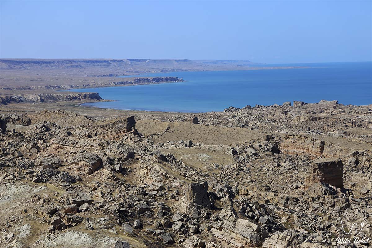
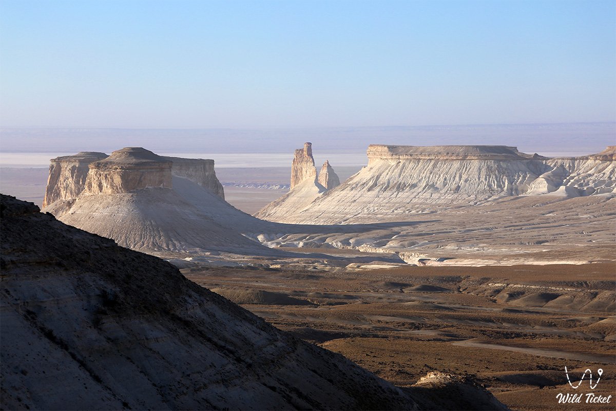
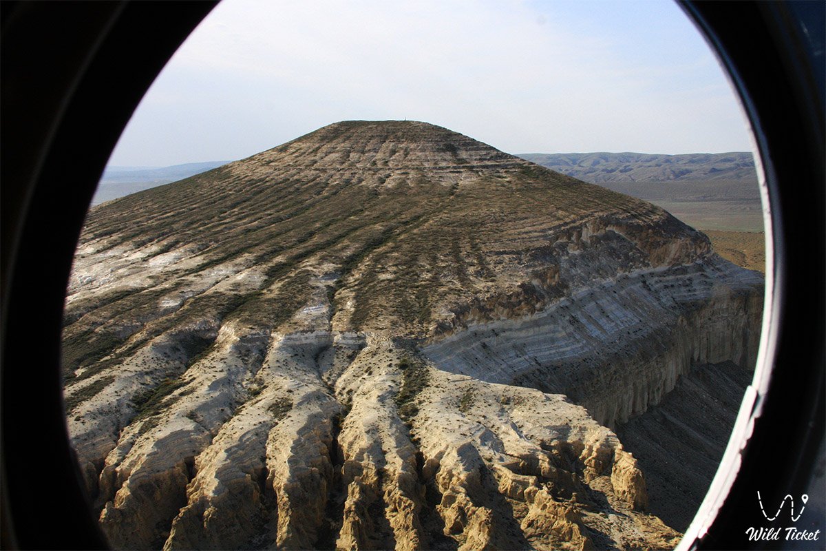
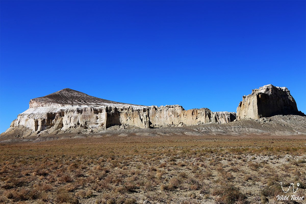
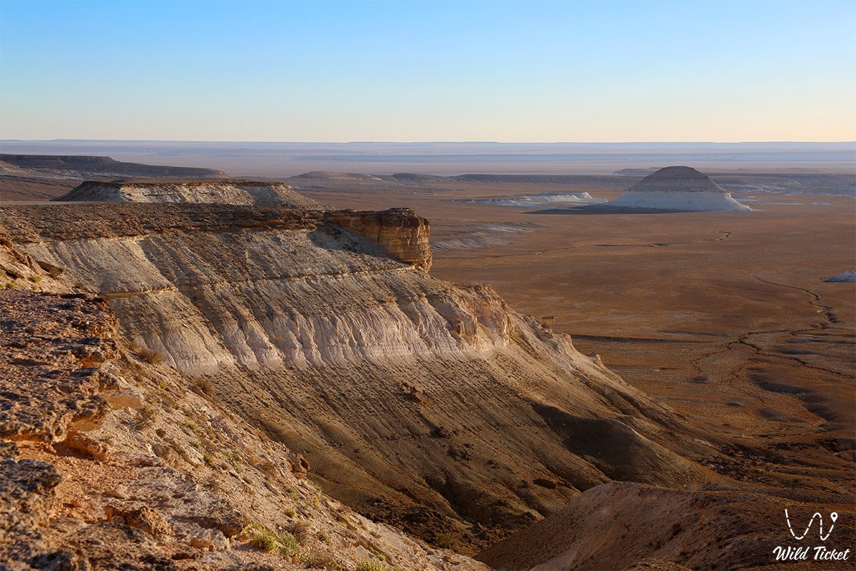
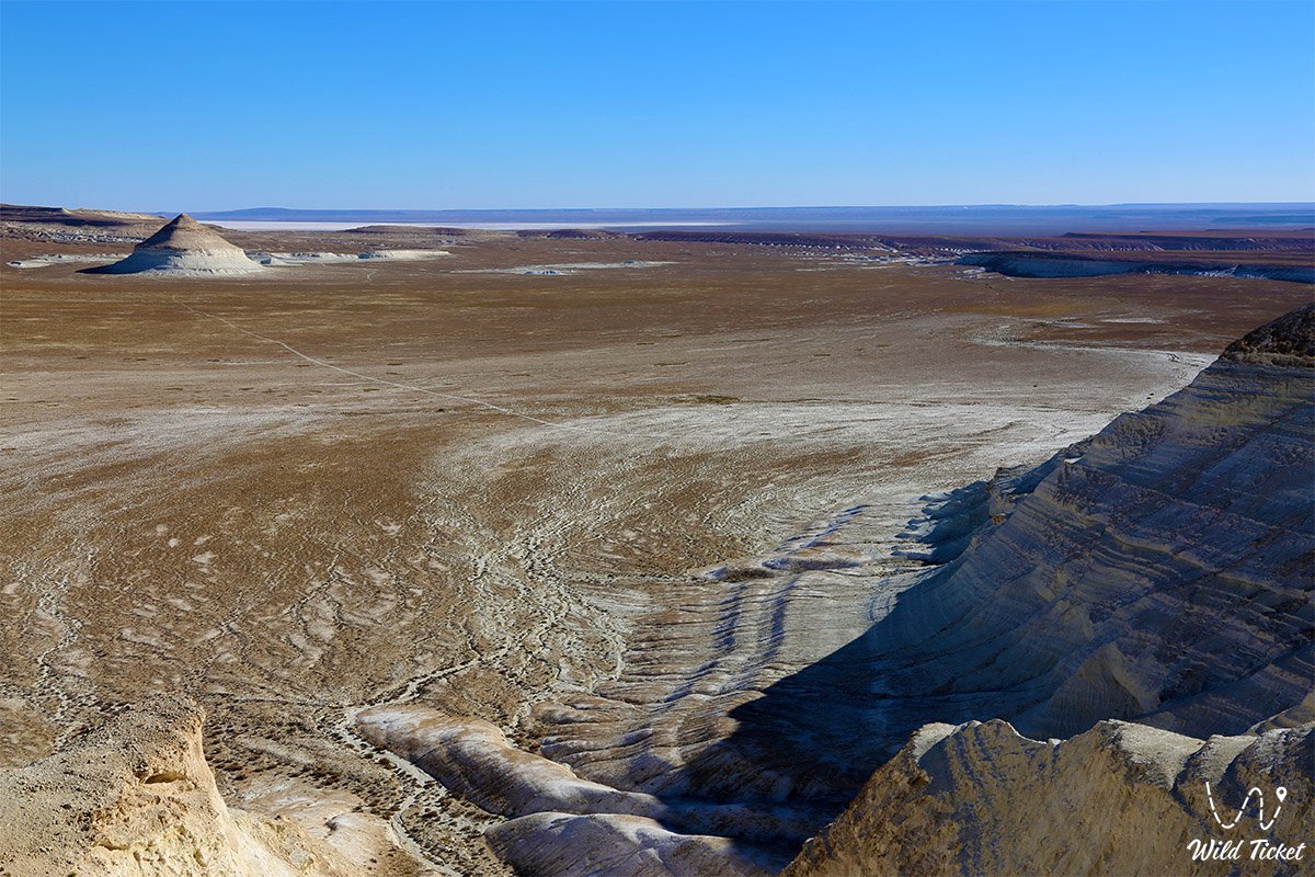
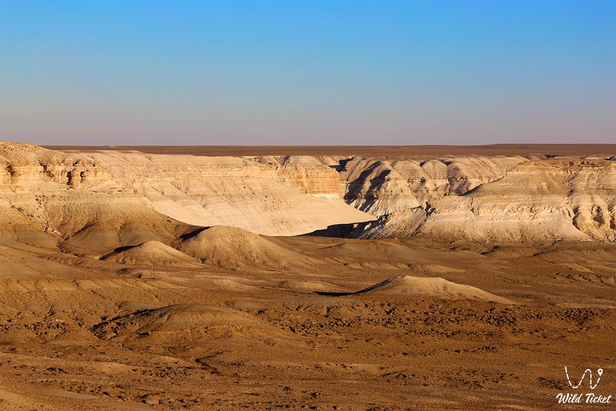
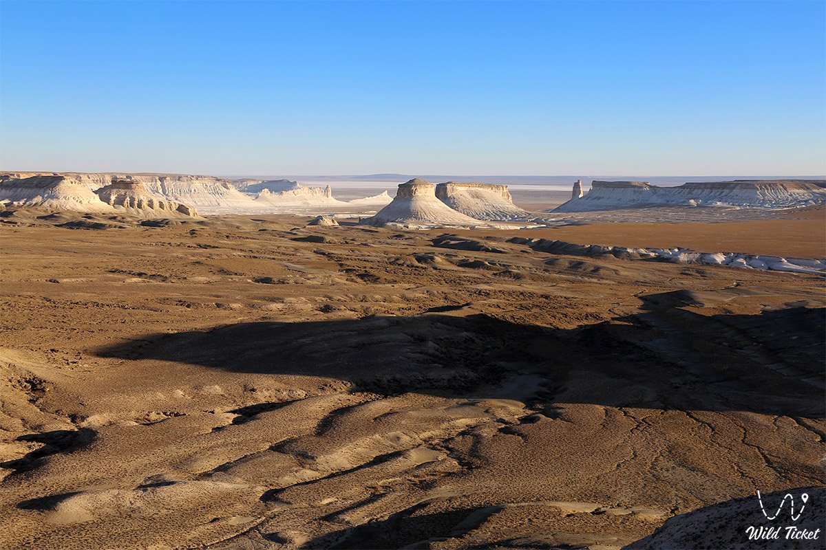
The Mangystau Plateau represents a grand, majestic, and severe natural monument in the west of the Republic of Kazakhstan, forming the tectonic and topographic bedrock of the entire Mangyshlak Peninsula. This elevated plain stretches across boundless stony deserts, cracked clay takyrs, precipitous chinks, and weathered residual ridges that merge to the east into the arid expanses of the Ustyurt Reserve.
In regional travel and field geography, the Mangystau Plateau serves as the territorial foundation crossed by all principal overland routes in Western Kazakhstan. Near its center and maritime perimeter lies the regional capital of Aktau, from where researchers and travelers head into the Mangystau district and the Karakiya district.
Across the plateau and along its escarpments lie notable natural sites: to the north and west open the coast of the Caspian Sea, the rocky gorge of Tamshaly Canyon, the ledge of Kapamsay Canyon, the sheltered Saura tract, and the geological Zhygylgan sinkhole with fossilized animal tracks. Further inland drop the vast Karagiye depression and the saline basin of the Kuandy depression.
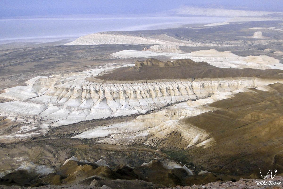
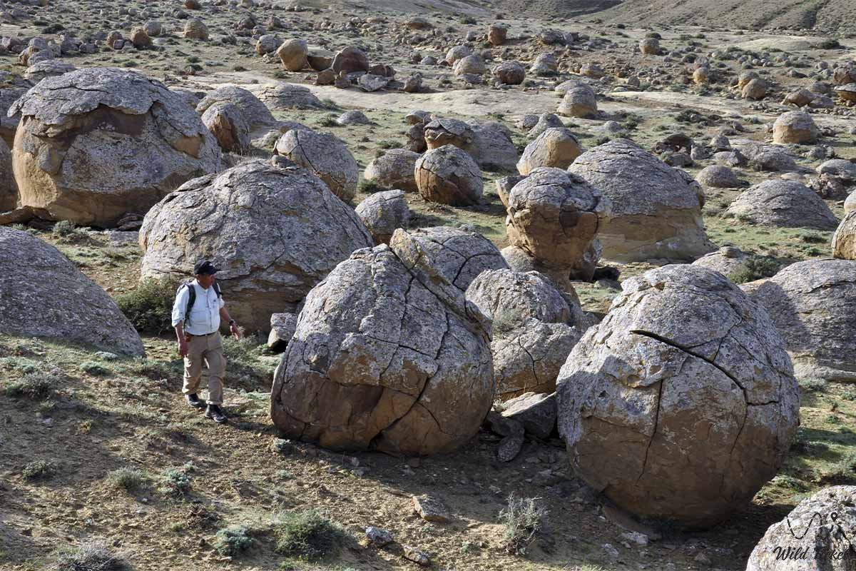
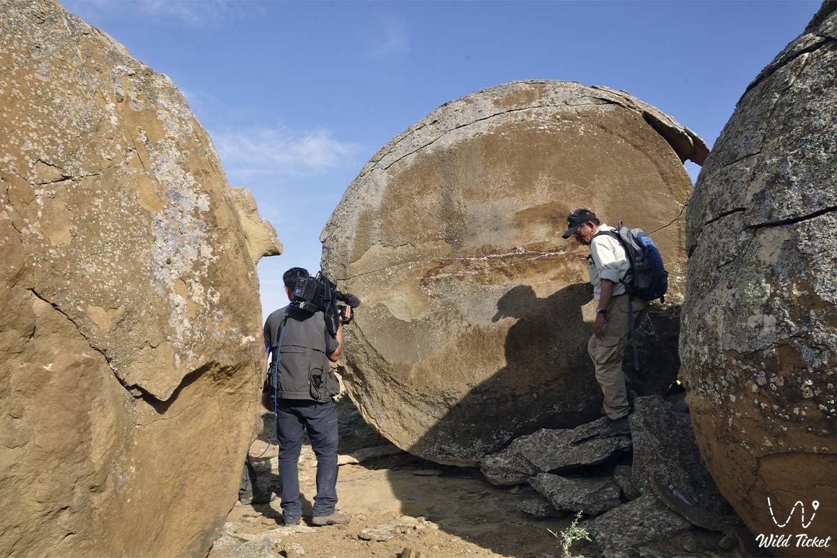
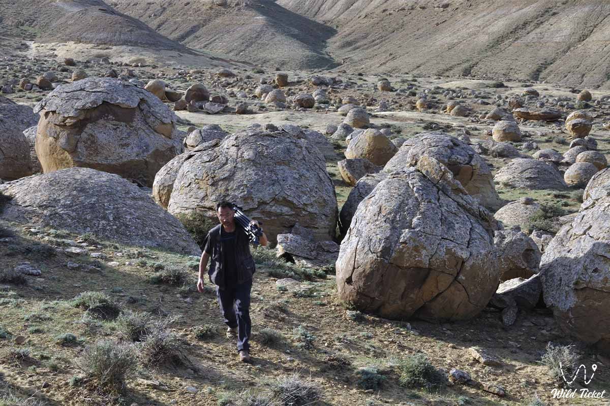
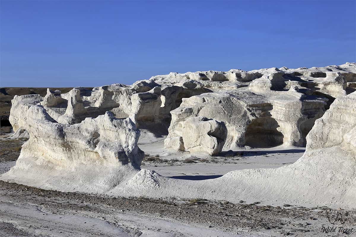
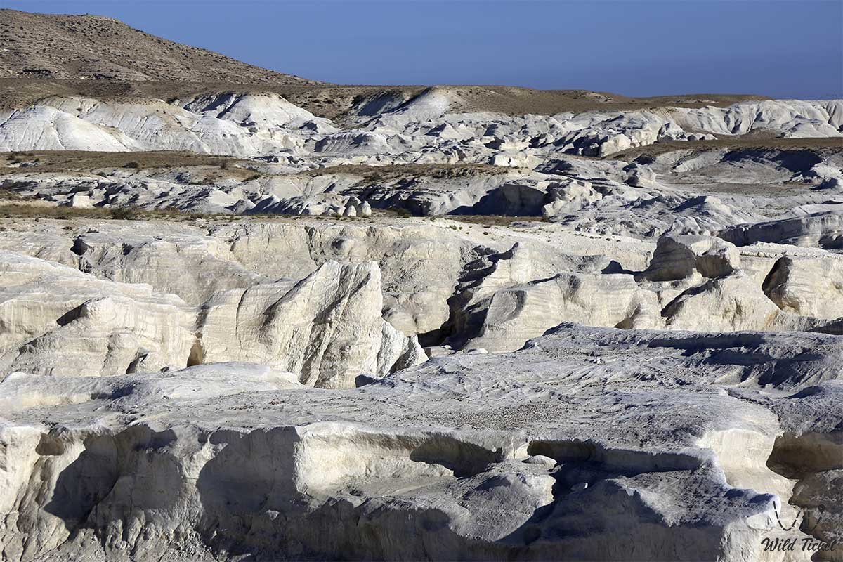
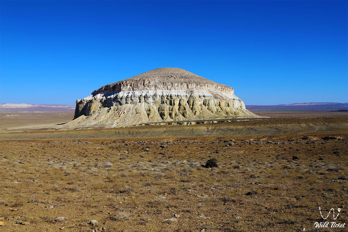
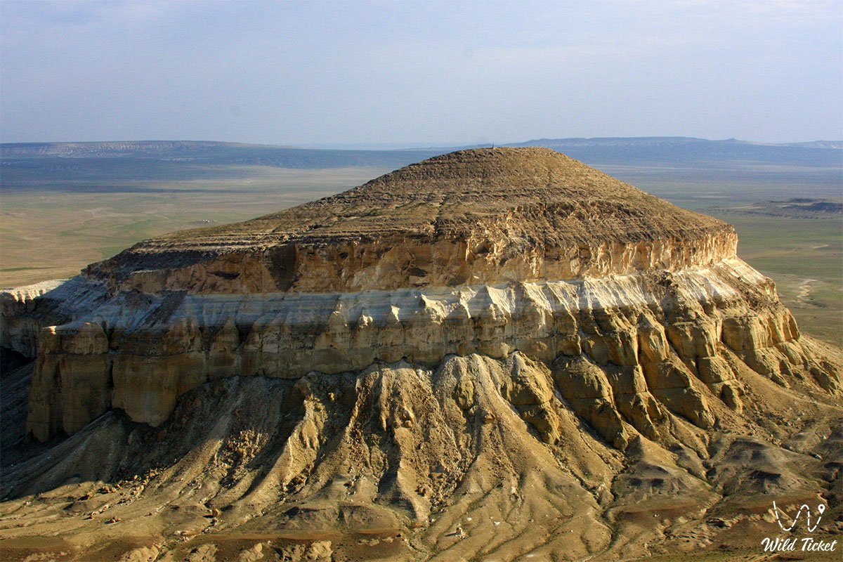
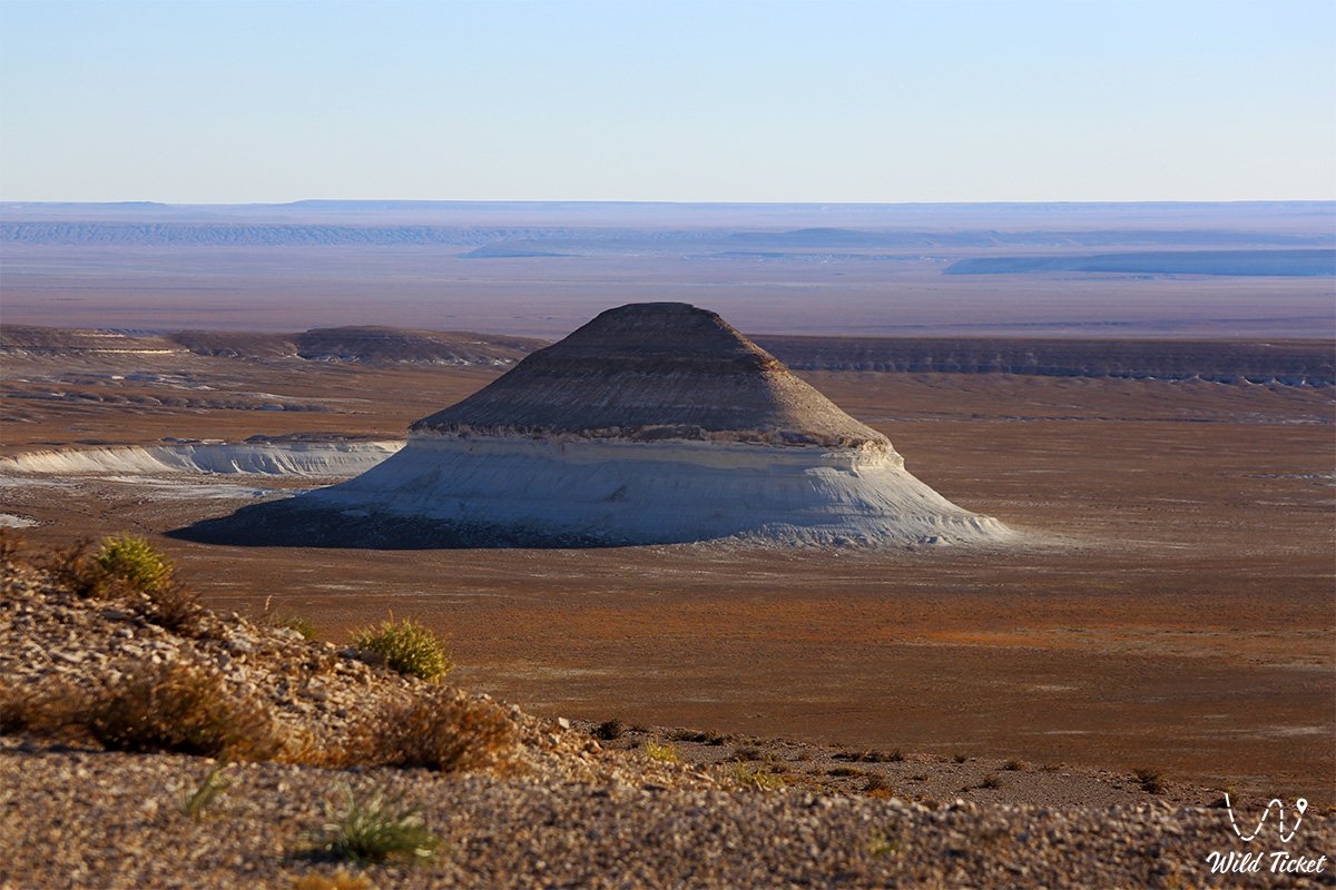
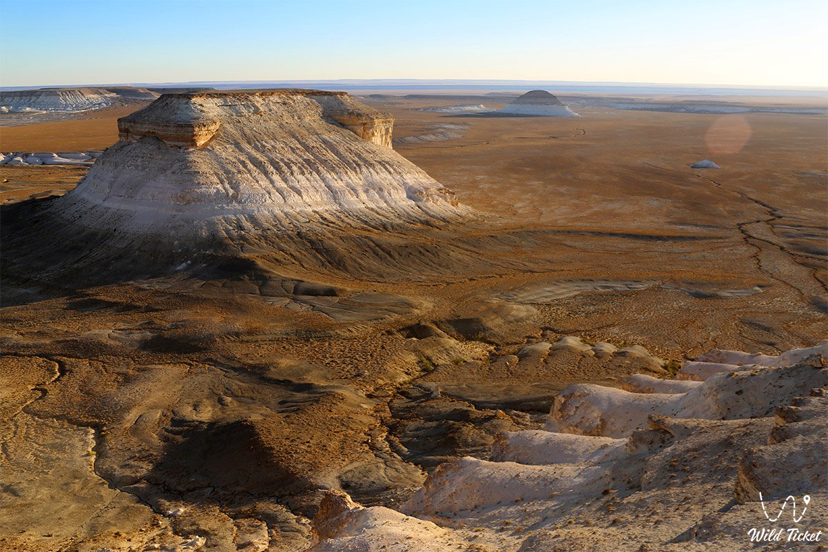
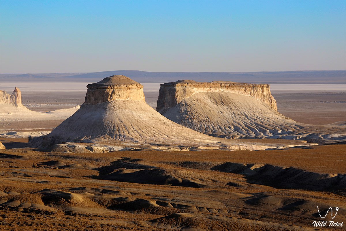
The geological basement of the plateau is composed of thick sedimentary sequences of Mesozoic and Cenozoic age, uplifted from the bed of the ancient Tethys Ocean by regional tectonic activity. White limestones, coquina beds, variegated clays, and marls form weathered landforms. Unpaved tracks and desert roads lead travelers toward solitary Mount Sherkala, the castle-like formations of the Ayrakty-Shomanay Mountains, the spherical concretions of the Torysh Valley, sacred Mount Otpan-Tau, and the porous walls of Ybykty-Say Canyon.
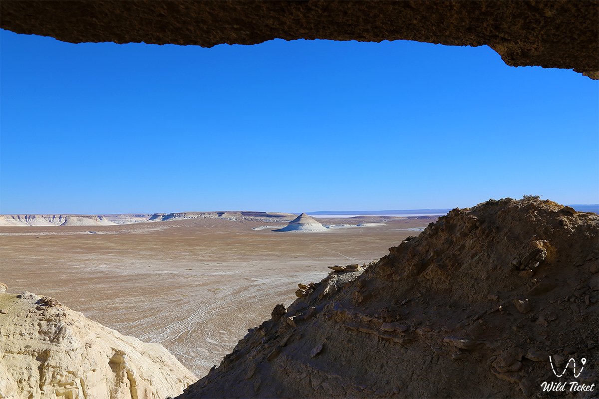
The defining quality of the Mangystau Plateau is its open desert landscape and silence. For centuries, these arid lands tested nomadic pastoralists, trade caravans along the Northern Silk Road, and lone travelers seeking seclusion. Here, wandering Sufis and dervishes cut subterranean sanctuaries into chalk and limestone cliffs, creating underground mosques such as Shopan-Ata, Beket-Ata, and Karaman-Ata, which remain spiritual destinations across Mangyshlak.
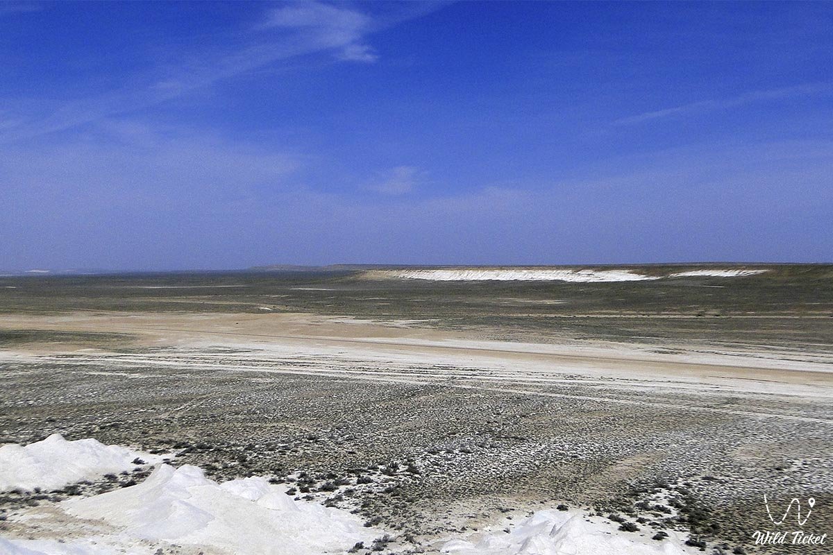
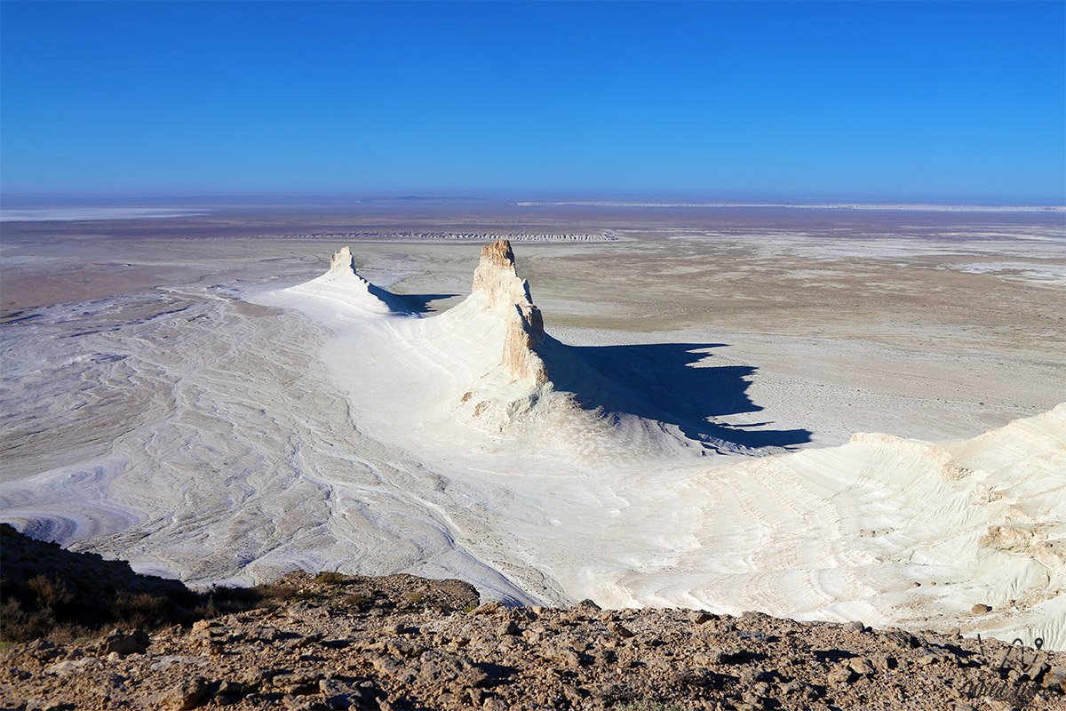
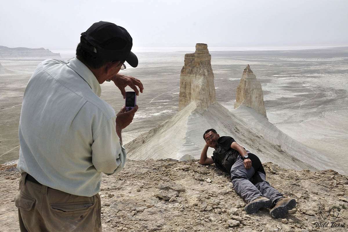
Continuing across the plateau, overland expeditions head south and southeast toward the white labyrinth of the Bozjyra tract, the bright crust of the Tuzbair salt flat, the "Three Brothers" residual towers on the Kenderli salt flat within the Karynzharyk depression, the water basin of Lake Kuzdykary, and the open expanses of the Ustyurt Plateau.
Today, Mangystau and the Mangystau Plateau stand as a prime example of Eurasian arid wilderness, drawing field expeditions, naturalists, and overland drivers between May and September, with four-wheel-drive vehicles (4x4) required for cross-country routes.
--------------------------------------------
How to get there and visit –
The Mangystau Plateau covers the central and eastern sections of the Mangystau region, spanning the junction of key administrative divisions—the Mangystau district, the Karakiya district, the Tupkaragan district, and the municipal area of Zhanaozen.
GPS geographical coordinates of the central hub of the Mangystau Plateau:
43°18'52"N 52°43'13"E
Driving routes originate in the regional center of Aktau, heading east and northeast along paved republican highways toward the settlement of Shetpe and into the interior. En route, travelers can stop in coastal Akshukur, pause at the traditional Kogez ethno-village, and proceed via Tauchik onto the open tracks of the plateau.
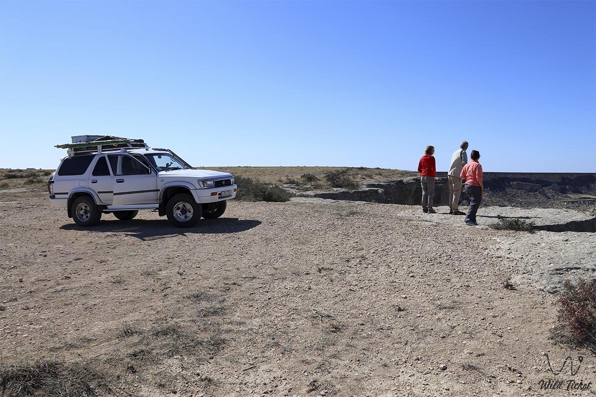
Access roads and vehicle recommendations: in dry weather, main hard-packed graded roads can be traversed in standard crossovers. However, descending to canyons such as Ybykty-Say, Kapamsay, the Kyzylkup tract, climbing steep escarpment passes, or crossing clay takyrs strictly requires a prepared four-wheel-drive vehicle (4x4) with high ground clearance, recovery equipment, and dependable durability. During rains, clay tracts on the plateau turn into sticky mud that stops standard vehicles.
Visiting regulations: the plateau is open for independent travel and scientific research, but demands complete autonomy. Due to long distances, lack of cellular coverage, and desert heat, every trip requires carrying water, extra fuel, and verified vehicle equipment.
Infrastructure: civic services, hotels, and fuel stations are found only in urban centers such as Aktau, Zhanaozen, and Fort-Shevchenko, in the port village of Bautino, and in larger settlements like Shetpe, Beyneu, and Senek. The Kogez complex serves travelers exploring local traditions. Out on the plateau itself, urban amenities do not exist—the environment is wild and remote.
Best time to visit: May through late September offers stable, dry conditions suitable for multi-day overland journeys. Spring (April – May) brings brief seasonal steppe blooms, while early autumn (September – October) provides comfortable temperatures without summer heat.
--------------------------------------------
History
The history of the Mangystau Plateau dates back to prehistoric periods, when these uplands and stone ridges sheltered Paleolithic and Neolithic hunter-gatherer communities. Over subsequent millennia, the plateau witnessed significant migrations and cultural contacts. Secondary branches of the Great Silk Road crossed these plains, connecting the oases of Khwarazm and Khiva with the Caspian coast and the Eurasian steppe. Trading caravans traversed heat and desert winds, relying on stone wells and spring-fed aquifers.
During the Middle Ages, the Mangystau Plateau became an important spiritual setting in the regional Islamic and Sufi tradition. Dervishes and wandering teachers sought solitude in the quiet desert, excavating rock-hewn underground mosques from chalk and limestone outcrops, including Shopan-Ata, Beket-Ata, and Karaman-Ata, which remain pilgrimage destinations. Later eras left behind stone necropolises, carved mausoleums, and the foundations of wayside caravanserais along old route networks.
In modern times, the region was reshaped by large-scale subsurface industrial development. Across the plains of Mangystau and the adjoining Caspian lowlands, exploration teams identified major hydrocarbon fields that transformed the national economy.
Northern semi-desert sectors saw the development of fields like Kalamkas and Karazhanbas, where production proceeds under demanding coastal conditions.
Southern tracts and offshore areas became centers for major energy projects—including the offshore Kashagan field on the Caspian shelf and the onshore supergiant Tengiz, whose road and pipeline networks linked the region into international transit corridors. Today, the Mangystau Plateau preserves both its ancient cultural monuments and the operational history of modern Kazakhstan.
Information
Geomorphologically, the Mangystau Plateau is an elevated tabular plain with typical elevations ranging between 150 and 300 meters above sea level. It is dissected by dry stream gullies, rocky canyons, fault scarps, and closed endorheic basins such as Karagiye and Kuandy.
The geological base is formed of thick Mesozoic and Cenozoic sedimentary strata (Cretaceous, Paleogene, Neogene) deposited on the bed of the ancient Tethys Ocean. The surface is mantled by weathered rock debris, gravel fields, colluvial deposits, and localized patches of windblown sand.
The regional climate is sharply continental and arid, marked by significant daily and seasonal temperature variations. Winters are cold and windy, averaging -6...-10 °C in January with blizzards. Summers are long and hot: July average temperatures exceed +28...+30 °C, and bare soil surfaces heat up significantly in the sun. Annual precipitation is sparse, totaling 120–180 mm per year.
The hydrological regime is characterized by an absence of permanent surface streams. Channels carry runoff only during brief spring snowmelt or flash storms; critical freshwater sources remain deep aquifers, occasional springs inside canyons, and traditional dug wells.
Detailed description of the venue
The natural, geological, and historical landscape of the Mangystau Plateau includes the following features:
• Stony deserts and gravel plateaus – vast plains of exposed weathered rubble and gravel forming an arid landscape.
• Chalk and limestone chinks – sheer cliffs and structural terraces framing the plateau edges above depressions like Karagiye and Kuandy.
• Takyrs and salt pans – smooth clay beds of dried seasonal pans, covered in polygonal desiccation cracks.
• Residual massifs and castle-like hills – weathered landforms, including the bastions of the Ayrakty-Shomanay Mountains and the "Three Brothers" (Onere).
• Rock canyons and desert ravines – water-carved gorges at Ybykty-Say, Tamshaly, Kapamsay, and the Saura gorge.
• Rock-hewn mosques and sacred shrines – spiritual landmarks of Mangyshlak: Shopan-Ata, Beket-Ata, and Karaman-Ata, carved into native stone.
• Historic tracks and traveler bases – historical trade corridors and traveler waypoints like the Kogez ethno-village.
Flora and fauna
The wildlife and plant cover of the plateau demonstrate adaptation to moisture deficits and temperature swings.
Vegetation (flora): plant cover is open and scattered. Species that persist here include deep-rooted xerophytes and halophytes—white and black wormwood, saltworts, Anabasis salsa (biyurgun), winterfat (Krascheninnikovia), and occasional tamarisk bushes. In spring, rainfall prompts a brief bloom of wild tulips and annual ephemerals.
Wildlife (fauna): open plains host goitered gazelles, corsac foxes, wolves, and tolai hares. Rodents and reptiles are widespread, including toad-headed agamas, rapid fringe-toed lizards, and desert vipers. Steppe eagles and long-legged buzzards hunt across the skies above the plateau.
Legend
An old regional legend concerning the Seven Stone Guardians and the Eternal Wind is preserved across the Mangystau Plateau.
Lore recounts that in ancient epochs, subterranean demons sought to destroy the freshwater springs of Mangyshlak by sending suffocating sandstorms over the land. Seven nomadic batyrs stepped forward to defend their homeland, placing themselves directly in the path of the storms. When the wind abated, the heroes turned to stone beneath the desert sun, forming the prominent chinks and solitary landforms of the plateau.
Tradition holds that these stone figures watch over the peace of Mangystau, while the desert winds that blow across the plateau carry their breath, recalling endurance and connection to the land.
Conclusion
The Mangystau Plateau is an expansive desert landscape of rock plains, chalk scarps, and historic sites shaped by the retreat of the prehistoric Tethys Ocean. Here, geological history, ancient pilgrimage routes, and modern expedition tracks converge across the terrain of Western Kazakhstan.
Interesting sights nearby:
• Ayrakty-Shomanay Mountains;
• Lake Karakol;
• Lake Kuzdykary;
• Saura Tract;
• Tamshaly Canyon;
• Kapamsay Canyon;
• Karagiye Depression;
• Kuandy Depression;
• Ybykty-Say Canyon;
• Kyzylkup Tract;
• Kenderli Salt Flat;
• "Three Brothers" (Onere) Mountains;
• Mount Sherkala;
• Torysh Valley of Stone Balls;
• Kokala Canyon;
• Sacred Mount Otpan-Tau;
• Bozjyra Tract;
• Tuzbair Salt Flat;
• Zhygylgan Sinkhole;
• Ustyurt Plateau.
Sacred sights and pilgrimage destinations:
• Beket-Ata Underground Mosque;
• Shopan-Ata Underground Mosque;
• Karaman-Ata Underground Mosque;
• Shakpak-Ata Underground Mosque;
• Sisem-Ata Necropolis;
• Sultan-Epe Necropolis;
• Otpan-Tau Historical and Cultural Complex;
• Khanga-Baba Necropolis;
• Kenty-Baba Necropolis;
• Sacred springs and historic wells of Mangyshlak;
• Ancient cultural and burial monuments of Ustyurt.
Photogallery: